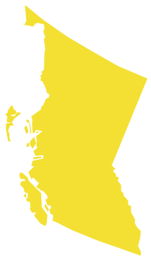
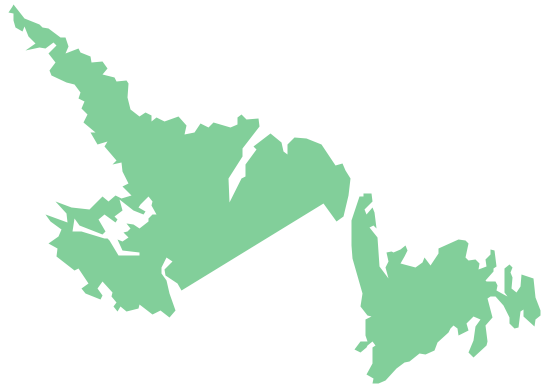
Geo Map - Canada - British Columbia
Maps of Canada - British Columbia
"British Columbia, also commonly referred to by its initials BC or B.C. Is a province located on the West Coast of Canada. British Columbia is also a component of the Pacific Northwest, along with the U.S. states of Oregon and Washington. The province's name was chosen by Queen Victoria in 1858, reflecting its origins as the British remainder of the Columbia District of the Hudson's Bay Company. In 1871, it became the sixth province of Canada. Its Latin motto is Splendor sine occasu ("Splendour without Diminishment")." [British Columbia. Wikipedia]
The vector stencils library British Columbia contains contours for ConceptDraw DIAGRAM diagramming and vector drawing software. This library is contained in the Continent Maps solution from Maps area of ConceptDraw Solution Park.
Pic. 1. Continent Maps Solution
Use the British Columbia library to draw thematic maps, geospatial infographics and vector illustrations for your business documents, presentations and websites.
Geo Map - Canada - British Columbia
British Columbia has a population of over 4,4 million and an area 944,735 km²(364,764 sq mi).

Pic. 2. British Columbia
Geo Map - Canada - British Columbia Contour
Capital - Victoria
Pic. 3. British Columbia Contour
Geo Map - Canada
Canada is a federation composed of ten provinces and three territories.
Area 9,984,670 km²(3,854,085 sq mi). Population 36,048,521.
Pic. 4. Canada map
Geo Map - Canada Contour
A contour map is a map illustrated with contour lines.
Pic. 5. Canada Contour
Geo Map - contours of Canada provinces and territories
Use the map contours library "Canada" to design thematic maps using the ConceptDraw DIAGRAM diagramming and vector drawing software.
The vector stencils library "Canada" contains 15 map contours: Canada political map, map contours of provinces and territories.
Pic. 6. Contours of Canada provinces and territories
Geo Map - Canada Regions Map
This example is created using ConceptDraw DIAGRAM diagramming software enhanced with Continent Maps solution from ConceptDraw Solution Park.
Pic. 7. Canada Regions Map
All ConceptDraw DIAGRAM documents are vector graphic files and are available for reviewing, modifying, and converting to a variety of formats: image, HTML, PDF file, MS PowerPoint Presentation, Adobe Flash, MS Visio (.VDX, .VSDX).
See also Geo Maps of Canada provinces and territories :


