Geo Map — USA — Montana
Maps of USA — State of Montana
Montana is one of the United States of America. This state is in the Western region of the United States and its name derived from a Spanish word “montaña” which means “mountain”. This state is also known as "Big Sky Country" and "The Treasure State”, "Land of the Shining Mountains" and "The Last Best Place”. Montana has an 877 kilometers border with three Canadian provinces, which are Alberta, Saskatchewan and British Columbia. It borders with both South and North Dakota to the east, with Idaho state to the west and southwest and Wyoming to the south.
Montana is the state which takes the 4th place for its size, although it is only on the 44th place taking into consideration its population. It is also on the 48th place for its population density, comparing it to all of the other states of America. The western third of Montana contains lots of mountain ranges. Smaller island ranges can be found throughout the state. There are all together 77 named ranges, which are all a part of the Rocky Mountains. The eastern half of the state of Montana is characterized by the Badlands that, being a type of dry terrain, have softer sedimentary rocks and soils rich in clay, as well by the western prairie terrain.
The economy of this state is primarily based on agriculture, including cereal grain farming and ranching. The other significant economic activities including gas, coal, oil as well as hard rock mining, tourism and lumber. The service, health care and government sectors also are very important constituent of the state's economy. Millions of tourists visit the Glacier National Part in Montana, as well as Yellowstone National Park and the Little Bighorn Battlefield National Monument.
With an area of 380800 square kilometers, Montana is slightly larger than Japan and it is the fourth largest state in the United States of America, following Alaska, Texas and California, which are all a bit larger states. Although Montana is known as the largest landlocked state of America, which means that it is a sovereign state entirely enclosed by land. Montana is also the world's 56th largest national state subdivision.
There are about 66000 people of Native American heritage living in the state of Montana. 63% of all Native people live off the reservations, concentrated in the larger Montana cities. The largest concentration of urban Indians is in Great Falls. The state also has a small population of Metis. Montana's Constitution provides that this state recognizes unique cultural and distinct heritage of the American Indians and it is committed in its educational goals to the preservation of the cultural integrity: Montana is the only state in the United States of America with such a constitutional mandate. The University of Montana was the first to establish the dual admission agreements with all of the tribal colleges and to facilitate the student transfer from the tribal colleges, so once you decide to come to study there from abroad, it can be a good option.
Montana's total state product in 2014 was 44,3 billion USD and each person’s income living there was 40601 USD, that is why this state is on the 35th place in the United States of America. This state is also a relative hub of beer microbrewing, taking the third place in number of craft breweries in 2011 in the U.S. There are lots of lumber as well as the mineral extraction in this state and its resources include talc, coal, silver, gold and vermiculite, although the eco-taxes on the resource extraction are numerous.
Tourism is a very important for this state in terms of supporting its economy. There are over ten million people visiting Montana a year, going to the Missouri River headwaters, Glacier National Park and Flathead Lake. Most of them like visiting the site of the “Battle of Little Bighorn” as well. There are three of the five entrances opening for the tourists to see Yellowstone National Park.
Montana's personal tax on income contains 7 brackets, ranging in rates from 1% to 6,9%, although there is no sales tax in Montana. The household goods are exempt from any property tax in this state, but property taxes are assessed on farm machinery, livestock, heavy equipment, trucks, business equipment and automobiles. The amount of property tax owed is not determined by the property's value and the property's value is multiplied by a tax rate, which is set by the Montana Legislature for the purpose of determining its taxable value. The taxable value is further multiplied by the “mill levy”, established by various taxing jurisdictions, including the city and county government, school districts, etc.
If you plan to visit Montana as a tourist or you want to have your business in this state or in the United States of America in general, then you can always read more about this place on Internet, but making more detailed plans for placing your shops, offices and sending your stuff there, including the employment of local people for the purpose of working for you, you might find having your own map of Montana very useful and helpful in terms of using it for your presentations, business plans and other business projects.
Creating your own map of any needed place or state, including the state of Montana, can seem to be a hard thing to do, but having ConceptDraw DIAGRAM software can simplify this work of drawing, especially once you have ConceptDraw STORE as another product of CS Odessa, which was developed for the purpose of creating the solutions full of all the needed tools, such as stencil libraries and examples of already previously created maps, and so storing them in the ConceptDraw STORE application.
Apart from using the last mentioned application, you can also always download any needed solution from this site. Thus, the “Continent Maps solution” can be found and downloaded from the “Maps area” of “ConceptDraw Solution Park” as well as from ConceptDraw STORE. Knowing that, you can always choose the best way for you to get the needed tools, once you decide to create your own map of any needed U.S. state, including Montana, and our vector stencils library “Montana”, which contains all of the needed contours of this state can be always used while working in ConceptDraw DIAGRAM diagramming and vector drawing software.
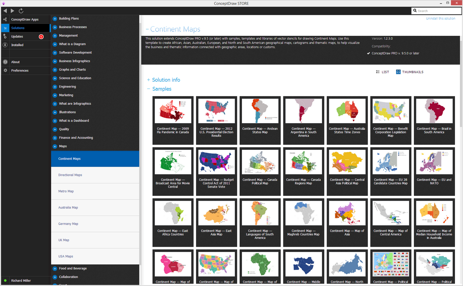
Pic. 1. Continent Maps Solution
Use the Montana library to draw thematic maps, geospatial infographics and vector illustrations for your business documents, presentations and websites.
Geo Map — USA — State of Montana
Area 147,040 sq mi (380,800 sq km); Width 630 miles (1,015 km); Length 255 miles (410 km).

Pic. 2. Montana
Geo Map — USA — Montana Contour
Capital - Helena.
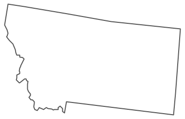
Pic. 3. Montana Contour
Geo Map — USA
The United States of America (USA), commonly referred to as the United States (U.S.) or America, is a federal republic composed of 50 states, a federal district, five major territories and various possessions.
List of U.S. State:
- Alabama
- Alaska
- Arizona
- Arkansas
- California
- Colorado
- Connecticut
- Delaware
- Florida
- Georgia
- Hawaii
- Idaho
- Illinois
- Indiana
- Iowa
- Kansas
- Kentucky
- Louisiana
- Maine
- Maryland
- Massachusetts
- Michigan
- Minnesota
- Mississippi
- Missouri
- Montana
- Nebraska
- Nevada
- New Hampshire
- New Jersey
- New Mexico
- New York
- North Carolina
- North Dakota
- Ohio
- Oklahoma
- Oregon
- Pennsylvania
- Rhode Island
- South Carolina
- South Dakota
- Tennessee
- Texas
- Utah
- Vermont
- Virginia
- Washington
- West Virginia
- Wisconsin
- Wyoming
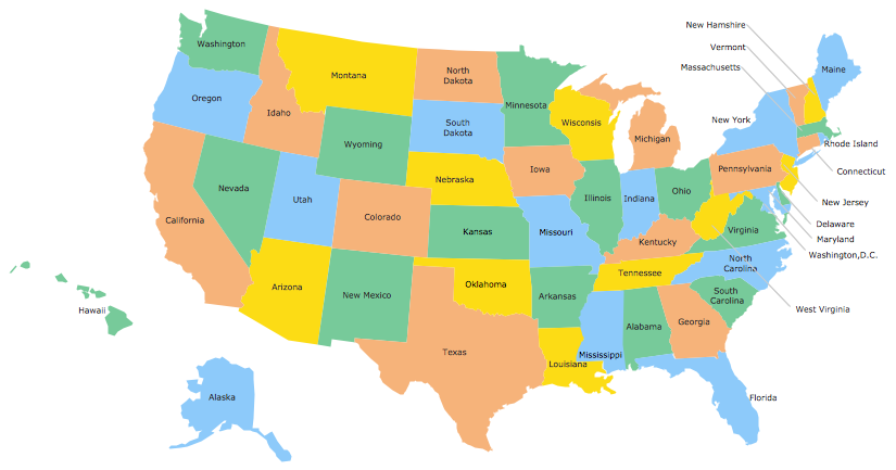
Pic. 4. USA Map
Geo Map — USA Contour
A contour map is a map illustrated with contour lines.
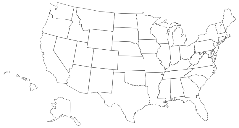
Pic. 5. USA Contour
Geo Map — Contours of Territories of the United States
Use the map contours library "United States of America" to design thematic maps using the ConceptDraw DIAGRAM diagramming and vector drawing software.
The vector stencils library "United States of America" contains 53 map contours: US political map, map contours of states.
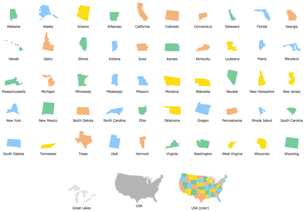
Pic. 6. Contours of Territories of the United States
Geo Map — Ranks US States by Peacefulness
This example is created using ConceptDraw DIAGRAM diagramming software enhanced with Continent Maps solution from ConceptDraw Solution Park.
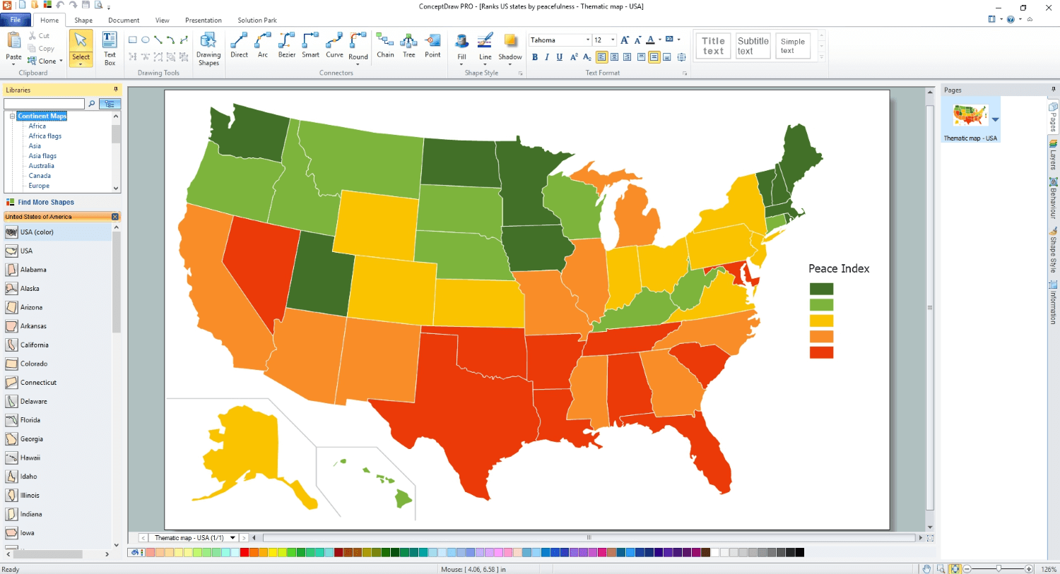
Pic. 7. Ranks US States by Peacefulness
All ConceptDraw DIAGRAM documents are vector graphic files and are available for reviewing, modifying, and converting to a variety of formats: image, HTML, PDF file, MS PowerPoint Presentation, Adobe Flash, MS Visio (.VDX, .VSDX).
See Also Territories of the United States Geo Maps :
- Alabama
- Alaska
- Arizona
- Arkansas
- California
- Colorado
- Connecticut
- Delaware
- Florida
- Georgia
- Hawaii
- Idaho
- Illinois
- Indiana
- Iowa
- Kansas
- Kentucky
- Louisiana
- Maine
- Maryland
- Massachusetts
- Mexico
- Michigan
- Minnesota
- Mississippi
- Missouri
- Montana
- Nebraska
- Nevada
- New Hampshire
- New Jersey
- New Mexico
- New York
- North Carolina
- North Dakota
- Ohio
- Oklahoma
- Oregon
- Pennsylvania
- Tennesse
- Utah
- Vermont
- Virginia
- Washington
- West Virginia
- Wisconsin
- Wyoming
- United States