HelpDesk
How to Create a Map of Germany Using ConceptDraw PRO
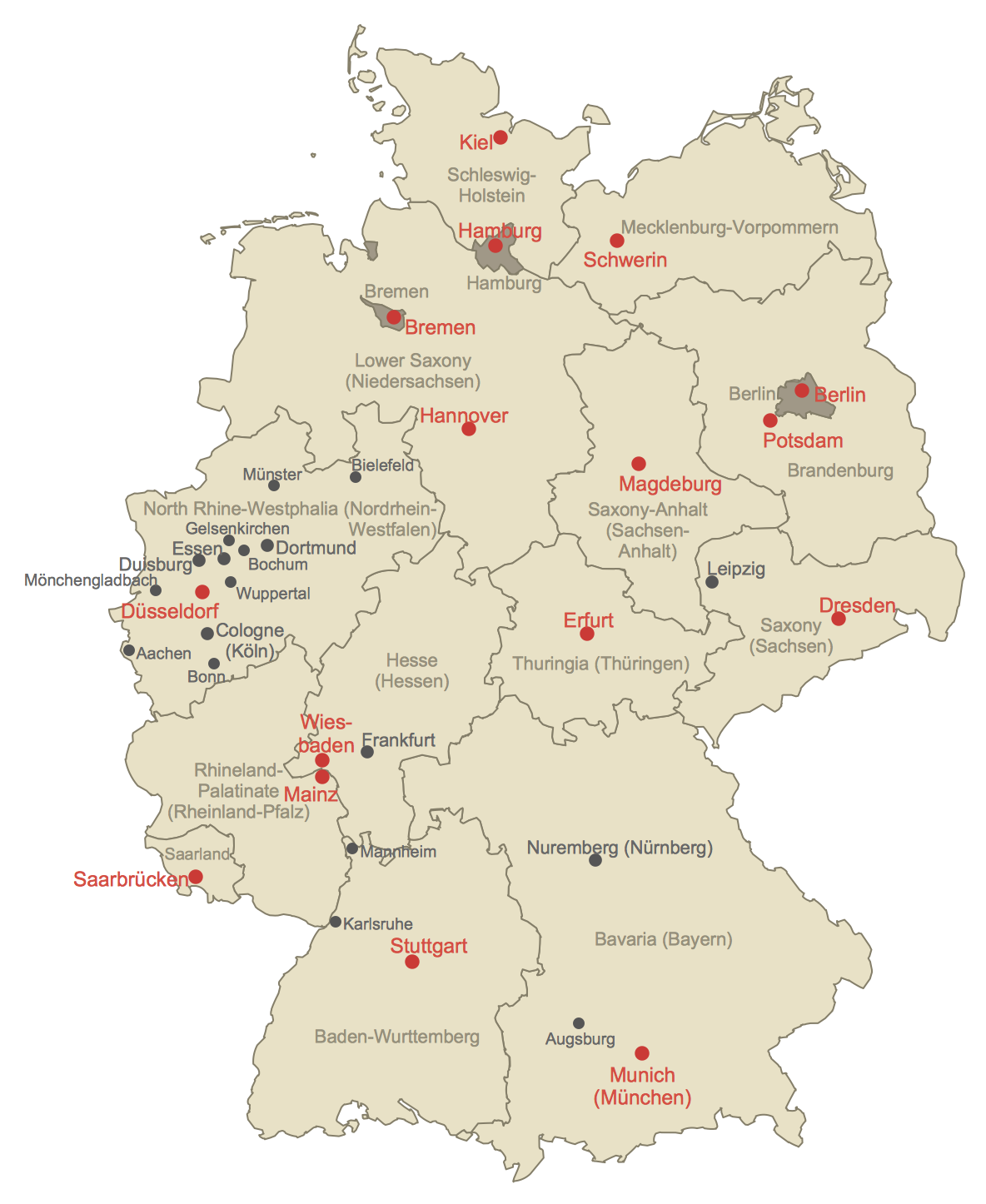
Geographical thematic maps are used to display information on a variety of subjects. It is a common way of representing any form of spatial data in relation to a specific geographical area. The Germany Map Solution for ConceptDraw PRO includes all of the German federal states with county outlined borders and major cities. You can quickly create geographic maps, cartograms, and thematic maps for geographical visualization information for business and travels.
 Germany Map
The Germany Map solution contains collection of samples, templates and scalable vector stencil graphic maps, representing map of Germany and all 16 states of Germany. Use the Germany Map solution from ConceptDraw Solution Park as the base for various them
- Map of Germany | Map of Germany — Saarland State | UK Map ...
- Map of USA | USA Map States | Maps of Germany With Cities | Us ...
- Map of Germany — Hesse State | How to Create a Map of Germany ...
- Vector Map of Germany | Geo Map - United States of America Map ...
- Vector Map of Germany | Winter Sports Vector Clipart. Medal Map ...
- Map Of East Germany With Cities
- Easy To Draw Map Of Europe
- Map of Germany — Saarland State | Germany Map | Map of ...
- Maps of Germany With Cities | Infographic software: the sample of ...
