CS Odessa Releases a Paid Unitedﺡ Statesﺡ Mappingﺡ Solution for ConceptDraw PRO v10
CS Odessaﻗs newest addition to ConceptDraw Solution Park is designed to assist individuals who are looking for county outlines to be represented in maps they draw. The collection of library objects, templates, and example drawings for ConceptDraw PRO make short work of drawing maps that contain county information. The ConceptDraw PRO United States Mapping Solution is available for a $25 charge to users of ConceptDraw PRO v10 and ConceptDraw Office v3, via ConceptDraw Solution Park. ConceptDraw PRO and ConceptDraw Office work with the latest versions of both Apple OS X and Microsoft Windows.
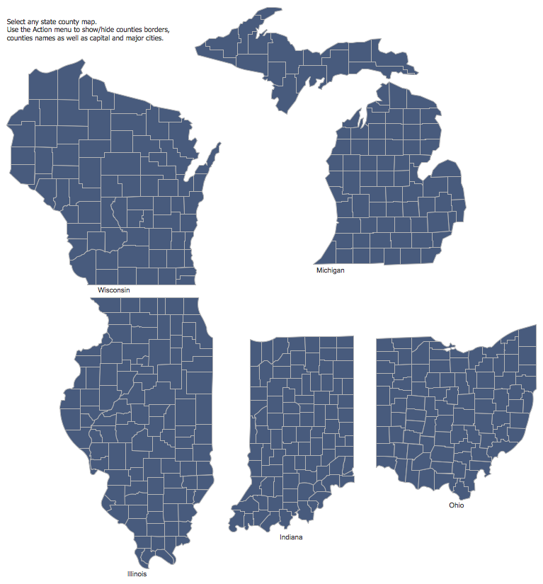
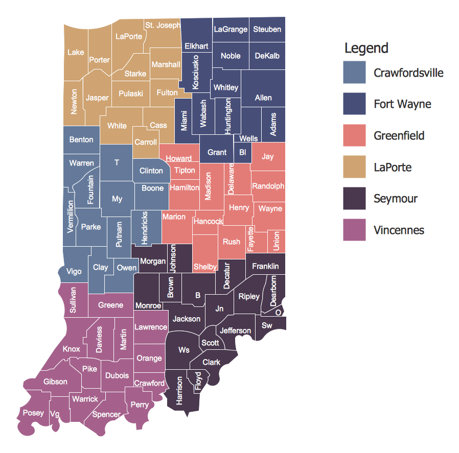
The United States Mapping Solution for ConceptDraw PRO includes all of the US States with county outlined borders, from the largest, San Bernardino in California, to the smallest Kalawao County, Hawaii.
ConceptDraw PRO is

Samples Gallery
