
Example 2.Geo Map
Continent Maps Solution provides the following 9 libraries of vector stencils that make your drawing the Geo Maps of all the continents and countries quick, easy and effective.
The Europe library of the Continent Maps Solution contains the following 43 ready-to-use vector objects:

Example 3. Geo Map — Europe Library
You can simply drop the elements from the library into your document to quickly create visual and clear Geo Maps of Europe countries.

Example 4. Geo Map — Elements of Europe
Use the objects of the libraries, templates and samples from the Continent Maps Solution for ConceptDraw DIAGRAM to create your own Geo Maps quick and easy.
The Geo Maps produced with ConceptDraw DIAGRAM are vector graphic documents and are available for reviewing, modifying, and converting to a variety of formats (image, HTML, PDF file, MS PowerPoint Presentation, Adobe Flash or MS Visio).
TEN RELATED HOW TO's:
Alaska is a U.S. state situated in the northwest extremity of the North American continent.
The vector stencils library Alaska contains contours for ConceptDraw DIAGRAM diagramming and vector drawing software. This library is contained in the Continent Maps solution from Maps area of ConceptDraw Solution Park.
Picture: Geo Map — USA — Alaska
Related Solution:
ConceptDraw DIAGRAM can help you make professional diagrams quickly.
Picture: Best Software to Draw Diagrams
Related Solution:
Design illustrative maps and explore the geographic diversity of American continents. Create detailed maps of North America, South America, Central America, USA, and thematic maps based on them for presentations, websites, social media, reports, marketing materials, educational materials, business documents
Picture: Geo Map of Americas
Related Solution:
Presentation with Business World style in ConceptDraw DIAGRAM with illustrations and notes from mind map document.
Picture: Business World Presentation
Related Solution:
Cameroon, officially the Republic of Cameroon, is a country in the west Central Africa region.
The vector stencils library Cameroon contains contours for ConceptDraw DIAGRAM diagramming and vector drawing software. This library is contained in the Continent Maps solution from Maps area of ConceptDraw Solution Park.
Picture: Geo Map - Africa - Cameroon
Related Solution:
Illustrate the Asia continent and explore its parts, geographical features, resources, and economic development through designing various kinds of colorful Asia maps and using them in presentations, reports, educational materials, websites, business documents
Picture: Geo Map — Asia
Related Solution:
Electrical plan is a document that is developed during the first stage of the building design. This scheme is composed of conventional images or symbols of components that operate by means of electric energy. To simplify the creation of these schemes you can use house electrical plan software, which will not require a long additional training to understand how to use it. You only need to install the necessary software ant it’s libraries and you’ll have one less problem during the building projection.
Any building contains a number of electrical systems, including switches, fixtures, outlets and other lightening equipment. All these should be depicted in a building electrical plans and included to general building documentation. This home electrical plan displays electrical and telecommunication devices placed to a home floor plan. On the plan, each electrical device is referenced with the proper symbol. Electrical symbols are used for universal recognition of the building plan by different persons who will be working on the construction. Not all possible electric symbols used on a certain plan, so the symbols used in the current home plan are included to a legend. The electrical home plan may be added as a separate document to a complete set of building plans.
Picture: How To use House Electrical Plan Software
Related Solution:
The advanced features of the ConceptDraw DIAGRAM Value Stream Map creator help to design your Value Stream Maps of any size in the shortest time. It's all due to the included Value Stream Mapping solution. Better understand the flow of production and information, how the value-stream mapping analyzes information flow with Value Stream Maps. Identify areas for process improvement and collaborate seamlessly with your team in minutes with ConceptDraw DIAGRAM software and Value Stream Mapping Solution.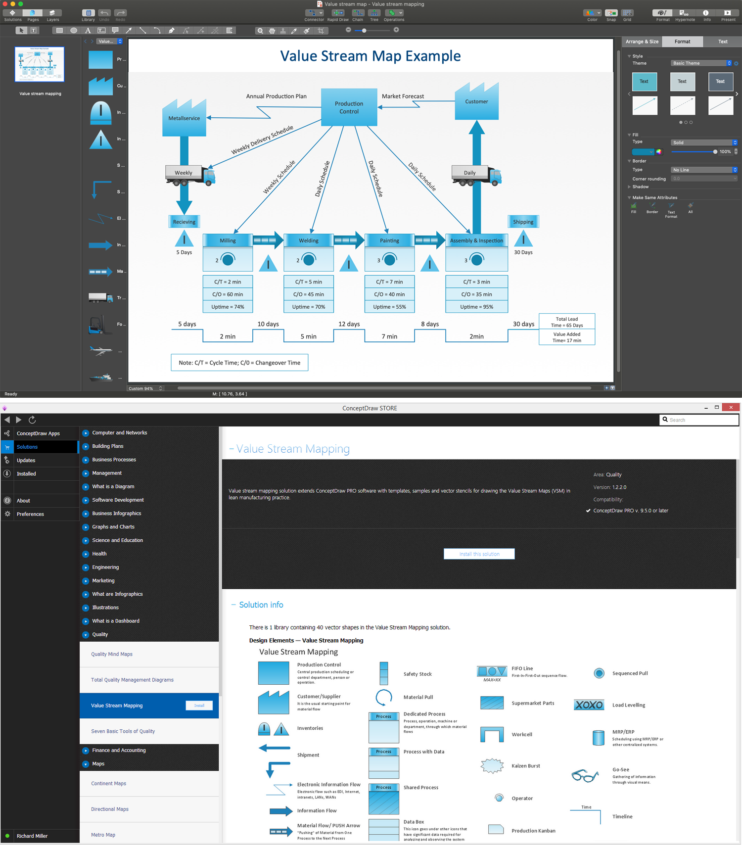
Picture: Value Stream Map Creator
Related Solution:
Malaysia is a federal constitutional monarchy in Southeast Asia.
The vector stencils library Malaysia contains contours for ConceptDraw DIAGRAM diagramming and vector drawing software. This library is contained in the Continent Maps solution from Maps area of ConceptDraw Solution Park.
Picture: Geo Map - Asia - Malaysia
Related Solution:
Now anyone can build an infographics from their data using ConceptDraw.
Nice and simple, but the features it have are power-packed!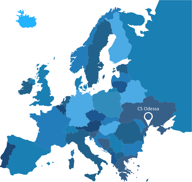
Picture: Visualization Spatial Data Using Thematic Maps Combined with Infographics


