Geo Map - Africa - Algeria
Maps of Africa - People's Democratic Republic of Algeria
"Algeria, officially The People's Democratic Republic of Algeria, is a country in the Maghreb region of North Africa on the Mediterranean coast. Its capital and most populous city is Algiers. Algeria is a semi-presidential republic, it consists of 48 provinces and 1541 communes. With a population of 37.9 million, it is the 35th most populated country on Earth. With an economy based on oil resources, manufacturing has suffered from what is called Dutch disease. Sonatrach, the national oil company, is the largest company in Africa. Algeria has the second largest military in North Africa with the largest defense budget in Africa. Algeria had a peaceful nuclear program by the 1990s."
[Algeria. Wikipedia]
The vector stencils library Algeria contains contours for ConceptDraw DIAGRAM diagramming and vector drawing software. This library is contained in the Continent Maps solution from Maps area of ConceptDraw Solution Park.

Pic. 1. Continent Maps Solution
Use the Algeria library to draw thematic maps, geospatial infographics and vector illustrations for your business documents, presentations and websites.
Geo Map - Africa - People's Democratic Republic of Algeria
Algeria has a population of over 40.3 million and an area 1,104,300 km2(426,371 sq mi).

Pic. 2. People's Democratic Republic of Algeria
Geo Map - Africa - Algeria Contour
Capital - Algiers

Pic. 3. Algeria Contour
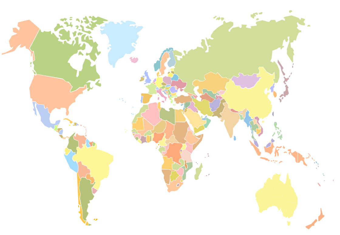
Geo Map - Africa
Africa is the world's second-largest and second-most-populous continent. It contains 54 countries.

Pic. 4. Africa Map
Geo Map - Africa Contour
A contour map is a map illustrated with contour lines.

Pic. 5. Africa Contour
Geo Map - contours of Africa countries
Use the map contours library "Africa" to design thematic maps using the ConceptDraw DIAGRAM diagramming and vector drawing software.
The vector stencils library "Africa" contains 62 map contours: Africa political map, map contours of countries.

Pic. 6. Сontours of Africa countries
All ConceptDraw DIAGRAM documents are vector graphic files and are available for reviewing, modifying, and converting to a variety of formats: image, HTML, PDF file, MS PowerPoint Presentation, Adobe Flash, MS Visio (.VDX, .VSDX).
See also Geo Maps of Africa Countries :
- Algeria
- Angola
- Benin
- Botswana
- Burkina Faso
- Burundi
- Cameroon
- Central African Republic
- Chad
- Congo
- Congo DRC
- Cote d'Ivoire
- Djibouti
- Egypt
- Equatorial Guinea
- Eritrea
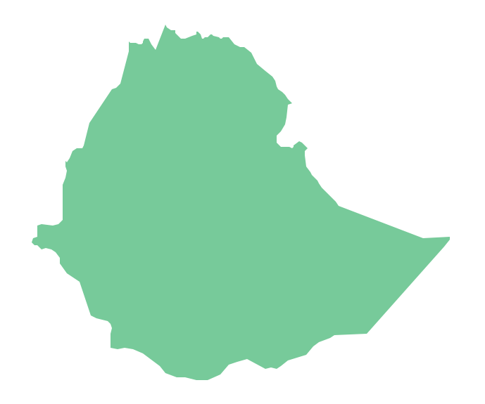
- Ethiopia
- Gabon
- Gambia
- Ghana
- Guinea
- Guinea Bissau
- Kenya
- Lesotho
- Liberia
- Libya
- Madagascar
- Malawi
- Mali
- Mauritania
- Morocco
- Mozambique
- Namibia
- Niger
- Nigeria
- Rwanda
- Senegal
- Sierra Leone
- Somalia
- South Africa
- South Sudan
- Sudan
- Swaziland
- Tanzania
- Togo
- Tunisia
- Uganda
- Western Sahara
- Zambia
- Zimbabwe