Made with
ConceptDraw
DIAGRAM 18

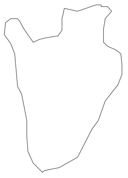
Geo Map - Africa - Burundi

Maps of Africa - Republic of Burundi

"Burundi, officially the Republic of Burundi, is a landlocked country in the African Great Lakes region of Southeast Africa, bordered by Rwanda to the north, Tanzania to the east and south and the Democratic Republic of the Congo to the west. It is also sometimes considered part of Central Africa. Burundi's capital is Bujumbura. Although the country is landlocked, much of the southwestern border is adjacent to Lake Tanganyika."
[Burundi. Wikipedia]

The vector stencils library Burundi contains contours for ConceptDraw DIAGRAM diagramming and vector drawing software. This library is contained in the Continent Maps solution from Maps area of ConceptDraw Solution Park.

Use the Burundi library to draw thematic maps, geospatial infographics and vector illustrations for your business documents, presentations and websites.

Geo Map - Africa - Republic of Burundi

Geo Map - Africa - Burundi *

Geo Map - Africa - Burundi Contour

Geo Map - Africa - Burundi Contour
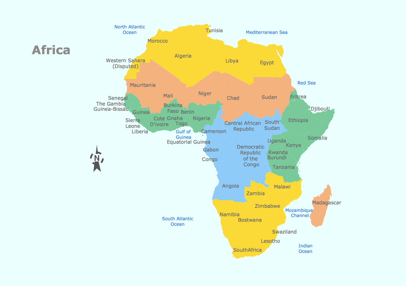

Geo Map - Africa

Geo Map - Africa


Geo Map - Africa Contour
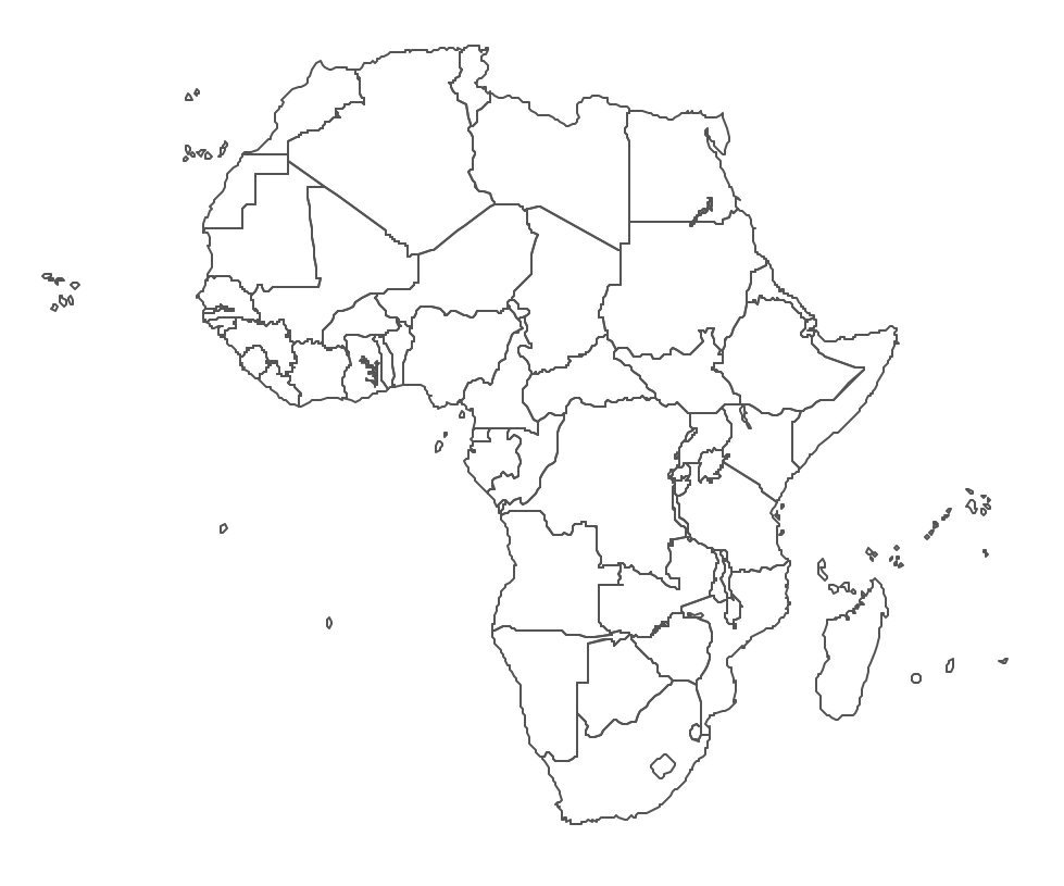
Geo Map - Africa Contour


Geo Map - contours of Africa countries
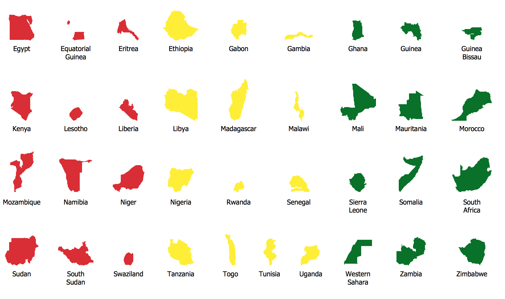
Geo Map - contours of Africa countries


See also Geo Maps of Africa Countries :


FIVE RELATED HOW TO's:
outh Sudan, officially the Republic of South Sudan, is a landlocked country in northeastern Africa. The vector stencils library South Sudan contains contours for ConceptDraw DIAGRAM diagramming and vector drawing software. This library is contained in the Continent Maps solution from Maps area of ConceptDraw Solution Park.Geo Map - Africa - South Sudan *
Picture: Geo Map - Africa - South Sudan
Related Solution:
Benin, officially the Republic of Benin, is a country in West Africa. It is bordered by Togo to the west, by Nigeria to the east and by Burkina Faso and Niger to the north. The vector stencils library Benin contains contours for ConceptDraw DIAGRAM diagramming and vector drawing software. This library is contained in the Continent Maps solution from Maps area of ConceptDraw Solution Park.Geo Map - Africa - Benin *
Picture: Geo Map - Africa - Benin
Related Solution:
Djibouti, officially the Republic of Djibouti, is a country located in the Horn of Africa. The vector stencils library Djibouti contains contours for ConceptDraw DIAGRAM diagramming and vector drawing software. This library is contained in the Continent Maps solution from Maps area of ConceptDraw Solution Park.Geo Map - Africa - Djibouti *
Picture: Geo Map - Africa - Djibouti
Related Solution:
Zambia, officially the Republic of Zambia, is a landlocked country in Southern Africa. The vector stencils library Zambia contains contours for ConceptDraw DIAGRAM diagramming and vector drawing software. This library is contained in the Continent Maps solution from Maps area of ConceptDraw Solution Park.Geo Map - Africa - Zambia *
Picture: Geo Map - Africa - Zambia
Related Solution:
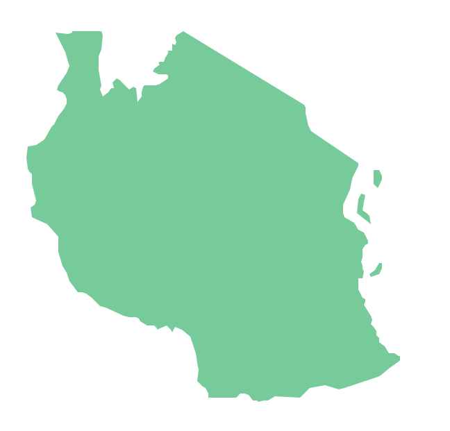
Tanzania, officially the United Republic of Tanzania (Swahili: Jamhuri ya Muungano wa Tanzania), is a country in East Africa in the African Great Lakes region. The vector stencils library Tanzania contains contours for ConceptDraw DIAGRAM diagramming and vector drawing software. This library is contained in the Continent Maps solution from Maps area of ConceptDraw Solution Park.Geo Map — Africa — Tanzania *
Picture: Geo Map — Africa — Tanzania
Related Solution:
ConceptDraw
DIAGRAM 18