Made with
ConceptDraw
DIAGRAM 17

Geo Map - Asia - Laos

Maps of Asia - Lao People's Democratic Republic

"Laos, officially the Lao People's Democratic Republic, is a landlocked country in Southeast Asia, bordered by Burma and China to the northwest, Vietnam to the east, Cambodia to the south, and Thailand to the west. Its population was estimated to be around 6.5 million in 2012. A third of the country's population lives below the international poverty line which means living on less than US$1.25 per day. In 2013, Laos ranked the 138th place (tied with Cambodia) on the Human Development Index (HDI), indicating that Laos currently only has medium to low development."
[Laos. Wikipedia]

The vector stencils library Laos contains contours for ConceptDraw DIAGRAM diagramming and vector drawing software. This library is contained in the Continent Maps solution from Maps area of ConceptDraw Solution Park.

Use the Laos library to draw thematic maps, geospatial infographics and vector illustrations for your business documents, presentations and websites.


Geo Map - Asia - Lao People's Democratic Republic

Geo Map - Asia - Laos *

Geo Map - Asia - Laos Contour

Geo Map - Asia - Laos Contour


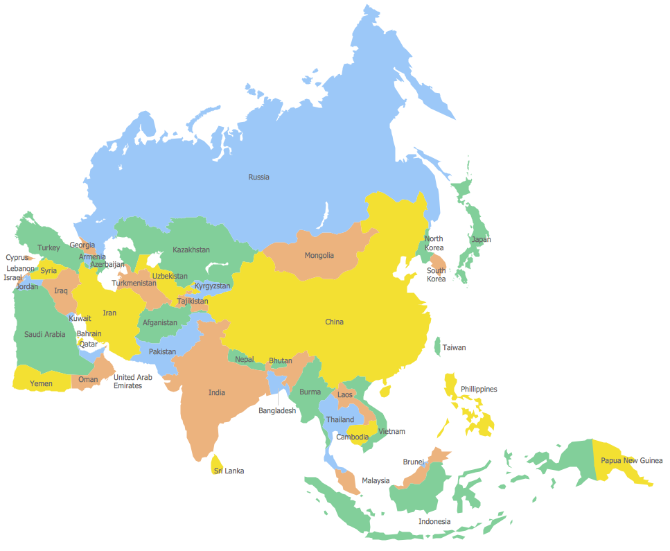
Geo Map - Asia

Geo Map - Asia


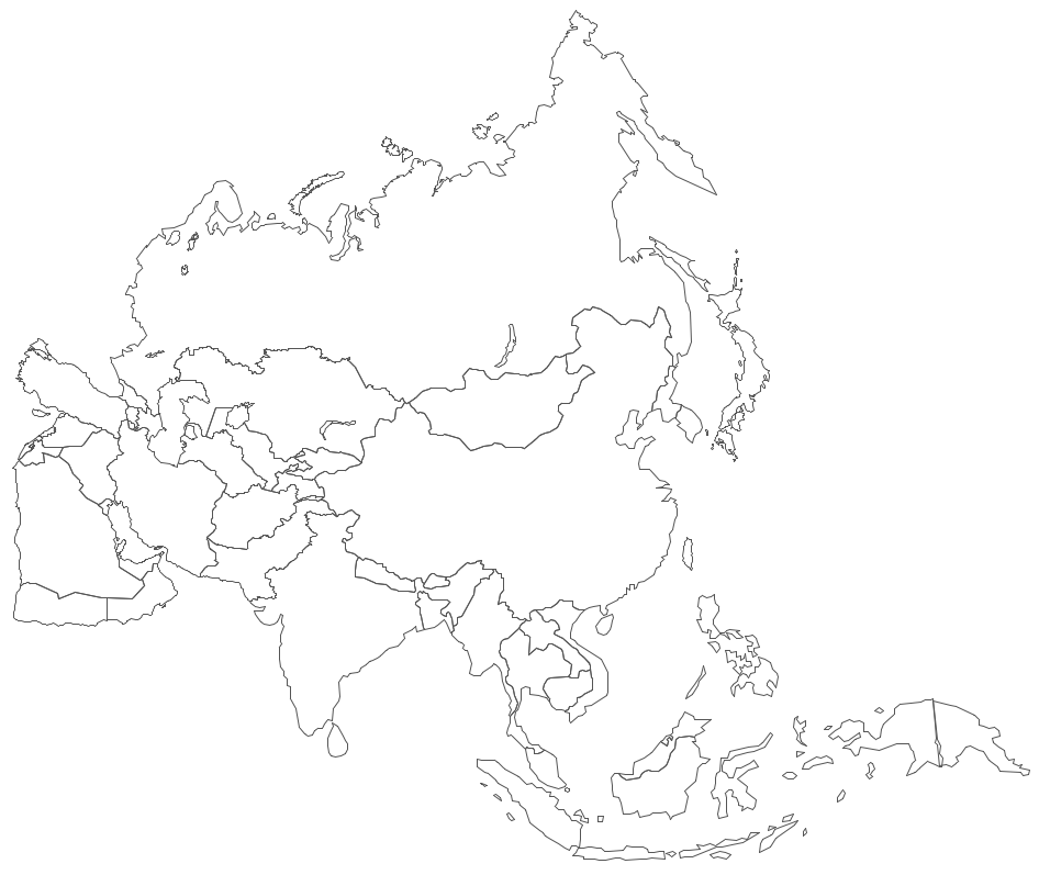
Geo Map - Asia Contour

Geo Map - Asia Contour


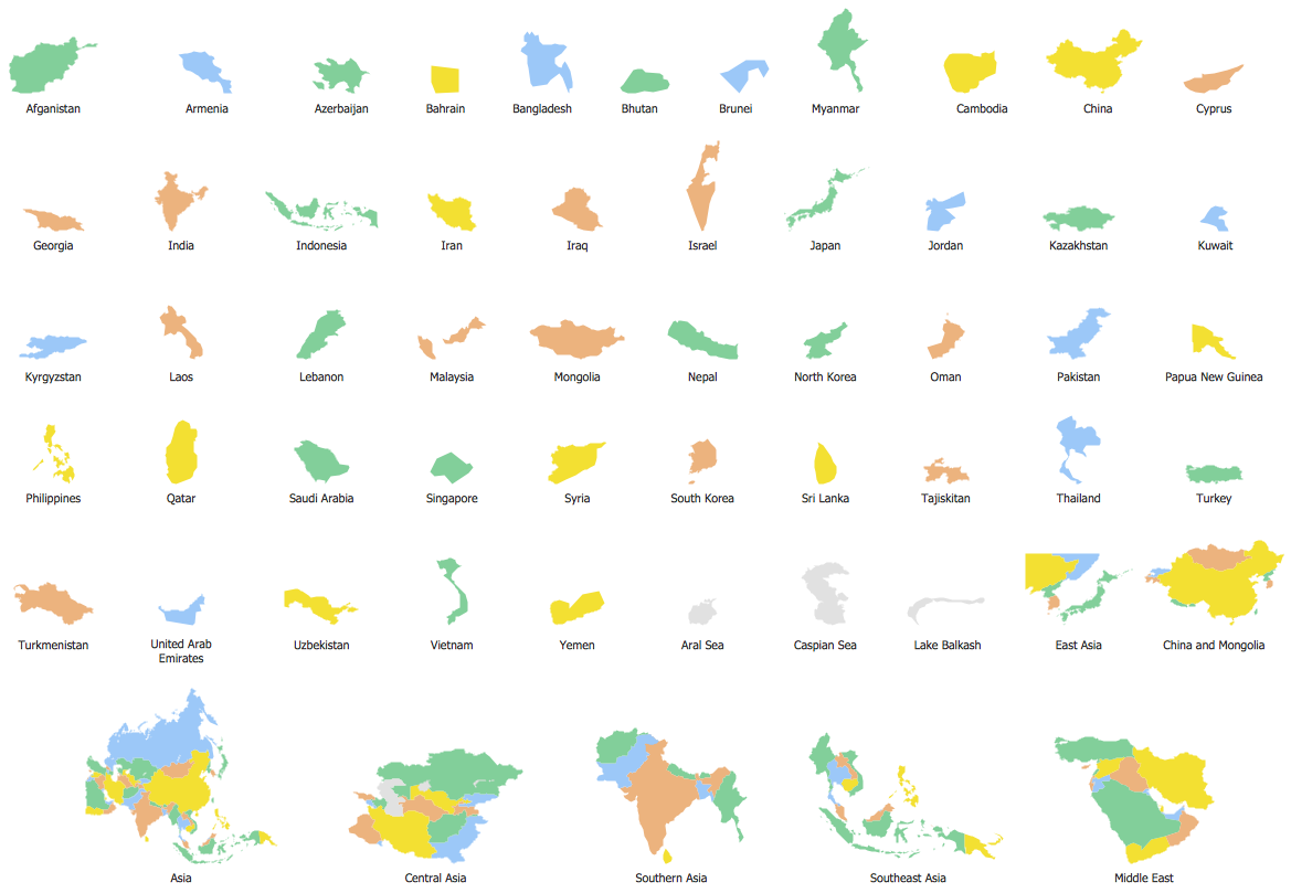
Geo Map - contours of Asia countries

Geo Map - contours of Asia countries


See also Geo Maps of Asia Countries :


FIVE RELATED HOW TO's:
Sri Lanka, officially the Democratic Socialist Republic of Sri Lanka, is an island country in the northern Indian Ocean off the southern coast of the Indian subcontinent in South Asia; known until 1972 as Ceylon, Sri Lanka has maritime borders with India to the northwest and the Maldives to the southwest. The vector stencils library Sri Lanka contains contours for ConceptDraw DIAGRAM diagramming and vector drawing software. This library is contained in the Continent Maps solution from Maps area of ConceptDraw Solution Park.Geo Map - Asia - Sri Lanka *
Picture: Geo Map - Asia - Sri Lanka
Related Solution:
Indonesia, officially the Republic of Indonesia, is a sovereign state in Southeast Asia and Oceania. The vector stencils library Indonesia contains contours for ConceptDraw DIAGRAM diagramming and vector drawing software. This library is contained in the Continent Maps solution from Maps area of ConceptDraw Solution Park.Geo Map — Asia — Indonesia *
Picture: Geo Map — Asia — Indonesia
Related Solution:
Azerbaijan, officially the Republic of Azerbaijan, is the largest country in the Caucasus region located at the crossroads of Western Asia and Eastern Europe. The vector stencils library Azerbaijan contains contours for ConceptDraw DIAGRAM diagramming and vector drawing software. This library is contained in the Continent Maps solution from Maps area of ConceptDraw Solution Park.Geo Map - Asia - Azerbaijan *
Picture: Geo Map - Asia - Azerbaijan
Related Solution:
Madagascar, officially the Republic of Madagascar, is an island country in the Indian Ocean, off the coast of Southeast Africa. The vector stencils library Madagascar contains contours for ConceptDraw DIAGRAM diagramming and vector drawing software. This library is contained in the Continent Maps solution from Maps area of ConceptDraw Solution Park.Geo Map - Africa - Madagascar *
Picture: Geo Map - Africa - Madagascar
Related Solution:
The vector stencils library Australia contains contours of New Zealand and Australian states and mainland territories for ConceptDraw DIAGRAM diagramming and vector drawing software.Geo Map — Australia — New Zealand *
Picture: Geo Map — Australia — New Zealand
Related Solution:
ConceptDraw
DIAGRAM 17