Geo Map - Asia - Tajikistan
Maps of Asia - Republic of Tajikistan
"Tajikistan, officially the Republic of Tajikistan, is a mountainous landlocked country in Central Asia. It borders Afghanistan to the south, Uzbekistan to the west, Kyrgyzstan to the north, and China to the east. Pakistan is separated from Tajikistan by the narrow Wakhan Corridor in the south."
[Tajikistan. Wikipedia]
The vector stencils library Tajikistan contains contours for ConceptDraw DIAGRAM diagramming and vector drawing software. This library is contained in the Continent Maps solution from Maps area of ConceptDraw Solution Park.

Use the Tajikistan library to draw thematic maps, geospatial infographics and vector illustrations for your business documents, presentations and websites.
Geo Map - Asia - Republic of Tajikistan

Geo Map - Asia - Tajikistan Contour

Geo Map - Asia

Geo Map - Asia Contour

Geo Map - contours of Asia countries

See also Geo Maps of Asia Countries :
FIVE RELATED HOW TO's:
Mongolia is a landlocked country in Central Asia.
The vector stencils library Mongolia contains contours for ConceptDraw DIAGRAM diagramming and vector drawing software. This library is contained in the Continent Maps solution from Maps area of ConceptDraw Solution Park.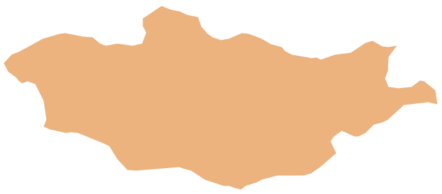
Picture: Geo Map - Asia - Mongolia
Related Solution:
Kazakhstan, officially the Republic of Kazakhstan, is a contiguous transcontinental country in Central Asia, with its smaller part west of the Ural River in Eastern Europe.
The vector stencils library Kazakhstan contains contours for ConceptDraw DIAGRAM diagramming and vector drawing software. This library is contained in the Continent Maps solution from Maps area of ConceptDraw Solution Park.
Picture: Geo Map - Asia - Kazakhstan
Related Solution:
Morocco, officially the Kingdom of Morocco, is a country in the Maghreb region of North Africa.
The vector stencils library Morocco contains contours for ConceptDraw DIAGRAM diagramming and vector drawing software. This library is contained in the Continent Maps solution from Maps area of ConceptDraw Solution Park.
Picture: Geo Map - Africa - Morocco
Related Solution:
Panama, officially Republic of Panama, is the southernmost country of Central America and the whole of North America.
The vector stencils library Panama contains contours for ConceptDraw DIAGRAM diagramming and vector drawing software. This library is contained in the Continent Maps solution from Maps area of ConceptDraw Solution Park.
Picture: Geo Map - South America - Panama
Related Solution:
Brunei, officially the Nation of Brunei, the Abode of Peace (Malay: Negara Brunei Darussalam, Jawi), is a sovereign state located on the north coast of the island of Borneo, in Southeast Asia.
The vector stencils library Brunei contains contours for ConceptDraw DIAGRAM diagramming and vector drawing software. This library is contained in the Continent Maps solution from Maps area of ConceptDraw Solution Park.
Picture: Geo Map - Asia - Brunei
Related Solution:


