Geo Map - South America - Honduras
Maps of South America - Republic of Honduras
"Honduras, officially the Republic of Honduras, is a republic in Central America. It was at times referred to as Spanish Honduras to differentiate it from British Honduras, which became the modern-day state of Belize. The country is bordered to the west by Guatemala, to the southwest by El Salvador, to the southeast by Nicaragua, to the south by the Pacific Ocean at the Gulf of Fonseca, and to the north by the Gulf of Honduras, a large inlet of the Caribbean Sea." [Honduras. Wikipedia]
The vector stencils library Honduras contains contours for ConceptDraw DIAGRAM diagramming and vector drawing software. This library is contained in the Continent Maps solution from Maps area of ConceptDraw Solution Park.

Pic. 1. Continent Maps Solution
Use the Honduras library to draw thematic maps, geospatial infographics and vector illustrations for your business documents, presentations and websites.
Geo Map - South America - Republic of Honduras
Honduras has a population of over 8,2 million and an area 112,492 sq km (43,278 sq mi).

Pic. 2. Honduras
Geo Map - South America - Honduras Contour
Capital - Tegucigalpa.

Pic. 3. Honduras Contour
Geo Map - South America
South America is a continent located in the Western Hemisphere, mostly in the Southern Hemisphere, with a relatively small portion in the Northern Hemisphere. It is also considered as a subcontinent of the Americas, which is the model used in Spanish-speaking nations and most of South America.

Pic. 4. South America
Geo Map - South America Contour
A contour map is a map illustrated with contour lines.

Pic. 5. South America Contour
Geo Map - contours of South America countries
Use the map contours library "South America" to design thematic maps of South American countries using the ConceptDraw DIAGRAM diagramming and vector drawing software.
The vector stencils library "South America" contains 29 map contours: South America political map, Central America political map, state map contours of South American countries.

Pic. 6. Contours of South America countries
See also Geo Maps of South America Countries :
SEVEN RELATED HOW TO's:
Iran, also known as Persia, officially the Islamic Republic of Iran since 1980, is a country in Western Asia.
The vector stencils library Iran contains contours for ConceptDraw DIAGRAM diagramming and vector drawing software. This library is contained in the Continent Maps solution from Maps area of ConceptDraw Solution Park.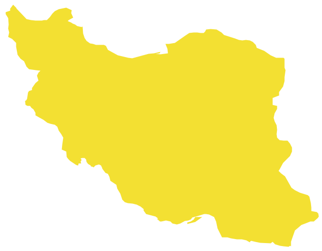
Picture: Geo Map - Asia - Iran
Related Solution:
New Mexico is a state located in the southwest and western regions of the United States.
The vector stencils library New Mexico contains contours for ConceptDraw DIAGRAM diagramming and vector drawing software. This library is contained in the Continent Maps solution from Maps area of ConceptDraw Solution Park.
Picture: Geo Map — USA — New Mexico
Related Solution:
Unfortunately, a man can’t predict the future and no one is safe from natural disasters, such as floods, earthquakes, hurricanes or fires. Nonetheless, what you can do to ensure safety for you and your relatives is to create an emergency plan, so everyone will know what to do if emergency happens. Keep that plan simple and train it several times a year so that no one could forget any details of it.
Fire and emergency plans are important to supply people with a visual safety solution. This diagram presents a set of standard symbols used to depict fire safety, emergency, and associated information. Using clear and standard symbols on fire emergency plans provides the coherence of collective actions , helps to avoid embarrassment, and improves communications in an emergent situation. The fire emergency symbols are intended for the general emergency and fire service, as well as for building plans ,engineering drawings and insurance diagrams. They can be used during fire extinguishing and evacuation operations, as well as trainings. It includes vector symbols for emergency management mapping, emergency evacuation diagrams and plans.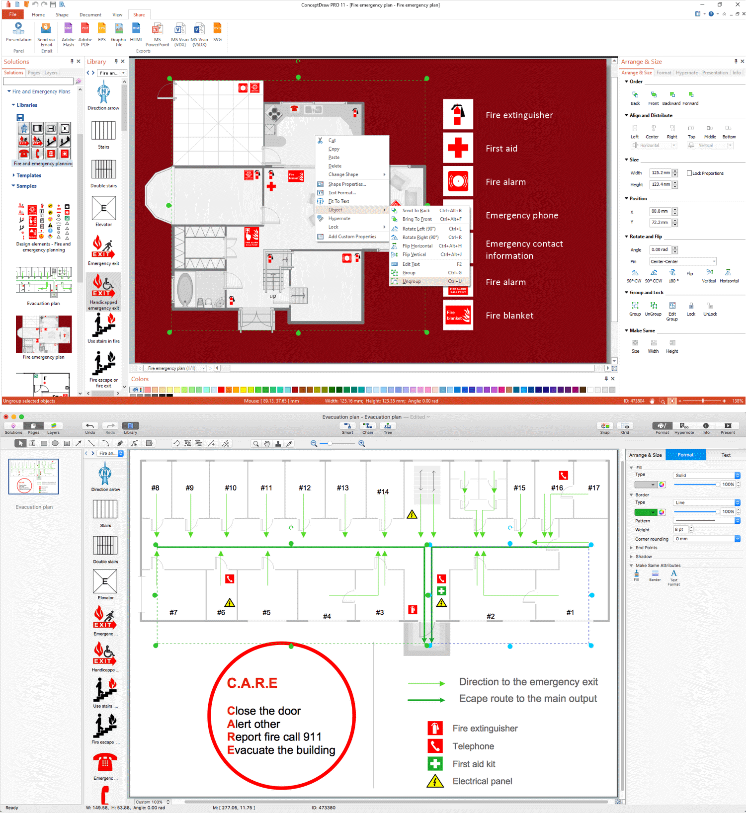
Picture: Emergency Plan
Related Solution:
Oman, officially called the Sultanate of Oman, is an Arab state in southwest Asia on the southeast coast of the Arabian Peninsula.
The vector stencils library Oman contains contours for ConceptDraw DIAGRAM diagramming and vector drawing software. This library is contained in the Continent Maps solution from Maps area of ConceptDraw Solution Park.
Picture: Geo Map - Asia - Oman
Related Solution:
Washington is a state in the Pacific Northwest region of the United States located north of Oregon, west of Idaho, and south of the Canadian province of British Columbia on the coast of the Pacific Ocean.
The vector stencils library Washington contains contours for ConceptDraw DIAGRAM diagramming and vector drawing software. This library is contained in the Continent Maps solution from Maps area of ConceptDraw Solution Park.
Picture: Geo Map — USA — Washington
Related Solution:
Guyana, officially the Co-operative Republic of Guyana, is a sovereign state on the northern coast of South America.
The vector stencils library Guyana contains contours for ConceptDraw DIAGRAM diagramming and vector drawing software. This library is contained in the Continent Maps solution from Maps area of ConceptDraw Solution Park.
Picture: Geo Map - South America - Guyana
Related Solution:
The Central African Republic is a landlocked country in Central Africa. It is bordered by Chad in the north, Sudan in the northeast, South Sudan in the east, the Democratic Republic of the Congo and the Republic of the Congo in the south and Cameroon in the west.
The vector stencils library Central African Republic contains contours for ConceptDraw DIAGRAM diagramming and vector drawing software. This library is contained in the Continent Maps solution from Maps area of ConceptDraw Solution Park.
Picture: Geo Map - Africa - Central African Republic
Related Solution:


