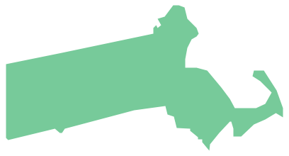
Geo Map — USA — Wyoming
Maps of USA — State of Wyoming
"Wyoming is a state in the mountain region of the Western United States. Wyoming is the 10th most extensive, but the least populous and the second least densely populated of the 50 United States. The western two thirds of the state is covered mostly with the mountain ranges and rangelands in the foothills of the Eastern Rocky Mountains, while the eastern third of the state is high elevation prairie known as the High Plains. Cheyenne is the capital and the most populous city in Wyoming, with a population of 91,738 in the metropolitan area (as of the 2012 census). Wyoming also is the only state whose boundaries were acquired through four separate purchases: first during the Louisiana Purchase, second from the Annexation of Texas, third from the Oregon Country, and fourth and finally from the Mexican-American War." [Wyoming. Wikipedia]
The vector stencils library Wyoming contains contours for ConceptDraw DIAGRAM diagramming and vector drawing software. This library is contained in the Continent Maps solution from Maps area of ConceptDraw Solution Park.
Use the Wyoming library to draw thematic maps, geospatial infographics and vector illustrations for your business documents, presentations and websites.
Geo Map — USA — State of Wyoming

Geo Map — USA — Wyoming Contour
Geo Map — USA
Geo Map — USA Contour
Geo Map — Сontours of Territories of the United States
See Also Territories of the United States Geo Maps :
- Alabama
- Alaska
- Arizona
- Arkansas
- California
- Colorado
- Connecticut
- Delaware
- Florida
- Georgia
- Hawaii
- Idaho
- Illinois
- Indiana
- Iowa
- Kansas
- Kentucky
- Louisiana
- Maine
- Maryland
- Massachusetts
- Mexico
- Michigan
- Minnesota
- Mississippi
- Missouri
- Montana
- Nebraska
- Nevada
- New Hampshire
- New Jersey
- New Mexico
- New York
- North Carolina
- North Dakota
- Ohio
- Oklahoma
- Oregon
- Pennsylvania
- Tennesse
- Utah
- Vermont
- Virginia
- Washington
- West Virginia
- Wisconsin
- Wyoming
- United States


