Map of USA
It is impossible to imagine modern life and science without maps, they surround us anywhere, they are used in geography, history, politics, economics, and many other fields of science. ConceptDraw DIAGRAM diagramming and vector drawing software offers the USA Maps Solution from the Maps Area of ConceptDraw Solution Park with its collection of samples and libraries for easy drawing the Map of USA.

Example 1. Map of USA - Counties of Pennsylvania
Collection of predesigned objects included in USA Maps Solution is enormous. These are 52 vector objects of USA states grouped in 9 libraries:
- East North Central States
- East South Central States
- Mid-Atlantic States
- Mountain States
- New England States
- Pacific States
- South Atlantic States
- Mid-West North States
- Mid-West South States

Example 2. USA Maps Solution in ConceptDraw STORE
Now for designing professional looking USA Maps you need follow only few steps:
- create new document,
- drag the needed objects from the libraries of USA Maps Solution,
- apply colors to make your own map colorful and successful.
Another way is to use as the base ready U.S. States Map template also included in USA Maps solution.

Example 3. U.S. States Map Template
The sample and template for drawing Map of USA you see on this page were created in ConceptDraw DIAGRAM software using the USA Maps solution for ConceptDraw Solution Park. They are included in USA Maps solution and available from ConceptDraw STORE.
Use the USA Maps solution for ConceptDraw DIAGRAM software to create your own USA Maps, US map with cities, USA map with capitals quick, easy and effective.
All source documents are vector graphic documents. They are available for reviewing, modifying, or converting to a variety of formats (PDF file, MS PowerPoint, MS Visio, and many other graphic formats) from the ConceptDraw STORE. The USA Maps Solution is available for all ConceptDraw DIAGRAM or later users.
TEN RELATED HOW TO's:
An Example world map, showing a simple outline of world map. The world map is vector and can be edited or export to svg format.
Picture: Geo Mapping Software Examples - World Map Outline
Related Solution:
The Saarland is one of the sixteen federal states (or Bundesländer) of Germany. The capital city is Saarbrücken.
Despite the fact that the maps surround us everywhere in our life, usually the process of their drawing is sufficienly complex and labor-intensive. But now, thanks to the ConceptDraw DIAGRAM diagramming and vector drawing software extended with Germany Map Solution from the Maps Area of ConceptDraw Solution Park, we have the possibility to make easier this process. Design fast and easy your own pictorial maps of Germany, map of Germany with cities, and thematic Germany maps in ConceptDraw DIAGRAM!
Picture: Map of Germany — Saarland State
Related Solution:
Ohio is a state in the Midwestern United States.
The vector stencils library Ohio contains contours for ConceptDraw DIAGRAM diagramming and vector drawing software. This library is contained in the Continent Maps solution from Maps area of ConceptDraw Solution Park.
Picture: Geo Map — USA — Ohio
Related Solution:
New Jersey is a state in the Northeastern and Middle Atlantic regions of the United States.
The vector stencils library New Jersey contains contours for ConceptDraw DIAGRAM diagramming and vector drawing software. This library is contained in the Continent Maps solution from Maps area of ConceptDraw Solution Park.
Picture: Geo Map — USA — New Jersey
Related Solution:
Using the Business Diagrams Solution you can create your own professional-looking Venn Diagrams quick and easy.
Picture: 3 Circle Venn Diagram. Venn Diagram Example
Related Solution:
The vector stencils library Spain contains contours for ConceptDraw DIAGRAM diagramming and vector drawing software. This library is contained in the Continent Maps solution from Maps area of ConceptDraw Solution Park.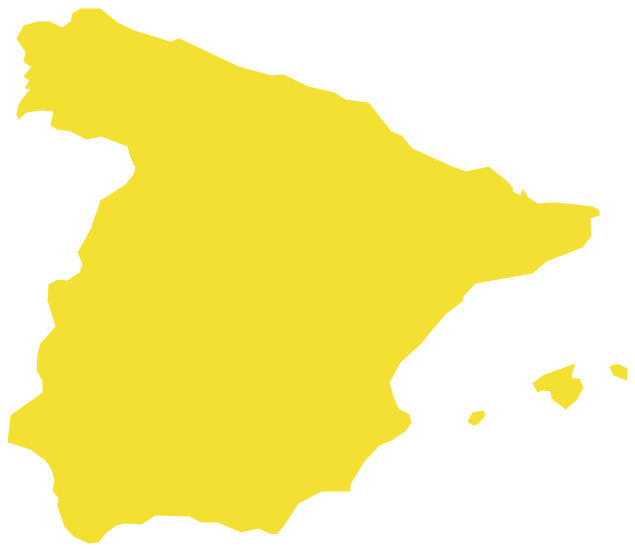
Picture: Geo Map — Europe — Spain
Related Solution:
ConceptDraw DIAGRAM is idea to draw the geological maps of World from the pre-designed vector geo map shapes.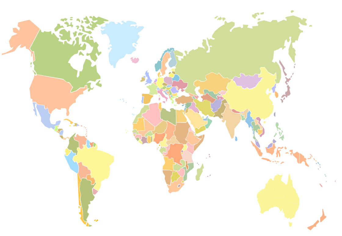
Picture: Geo Map - World
Related Solution:
ConceptDraw DIAGRAM diagramming and vector drawing software enhanced with Continent Maps Solution from the Maps Area is the best for drawing geographic, topography, political, and many other kinds of maps for any of seven earth continents and also world continents map of any detailing.
Picture: World Continents Map
Related Solution:
Tennessee is a U.S. state located in the Southeastern United States.
The vector stencils library Tennesse contains contours for ConceptDraw DIAGRAM diagramming and vector drawing software. This library is contained in the Continent Maps solution from Maps area of ConceptDraw Solution Park.
Picture: Geo Map — USA — Tennesse
Related Solution:
Design versatile maps based on the South America continent map effortlessly. 🔸 Create stunning and detailed South America maps and use them in ✔️ presentations, ✔️ educational materials, ✔️ websites, ✔️ business documents
Picture: Geo Map — South America Continent
Related Solution:

