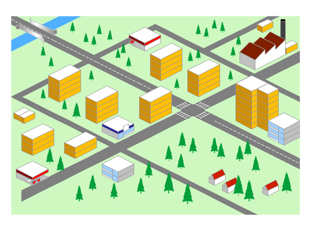
"Road maps come in many shapes, sizes and scales. Small, single-page maps may be used to give an overview of a region's major routes and features. ...
Highway maps generally give an overview of major routes within a medium to large region ranging from a few dozen to a few thousand miles or kilometers.
Street maps usually cover an area of a few miles or kilometers (at most) within a single city or extended metropolitan area. City maps are generally a specialized form of street map." [Road map. Wikipedia]
This 3D pictorial road map example was created using the ConceptDraw PRO diagramming and vector drawing software extended with the Directional Maps solution from the Maps area of ConceptDraw Solution Park.
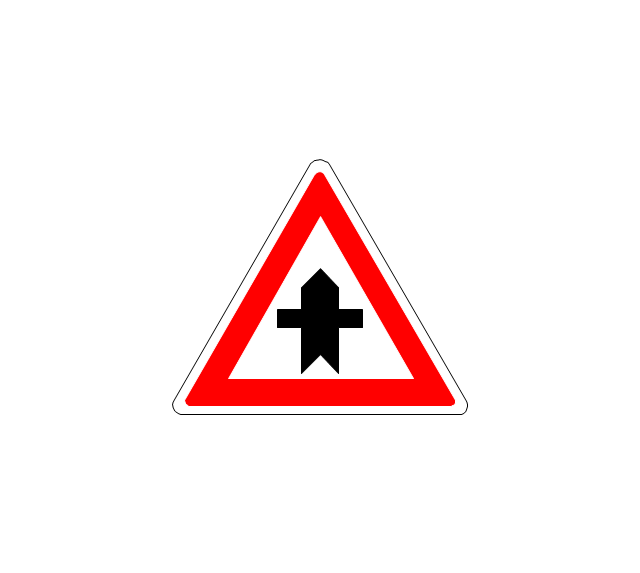
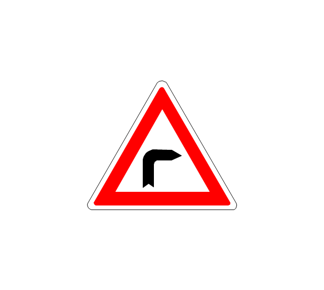
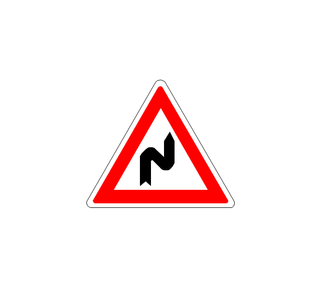
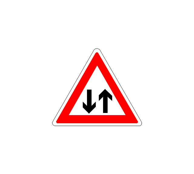
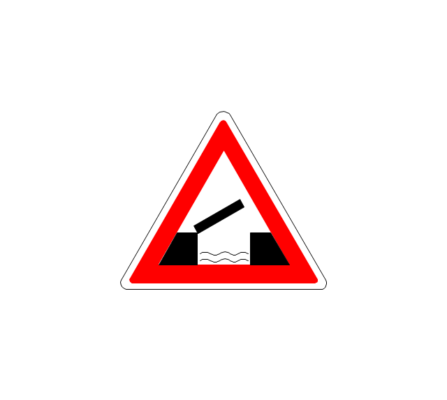
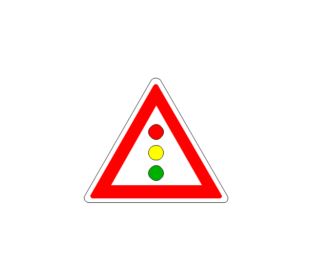
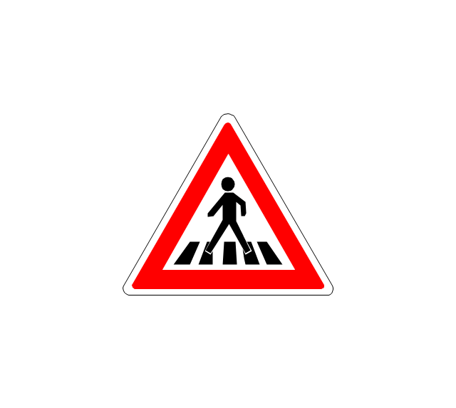
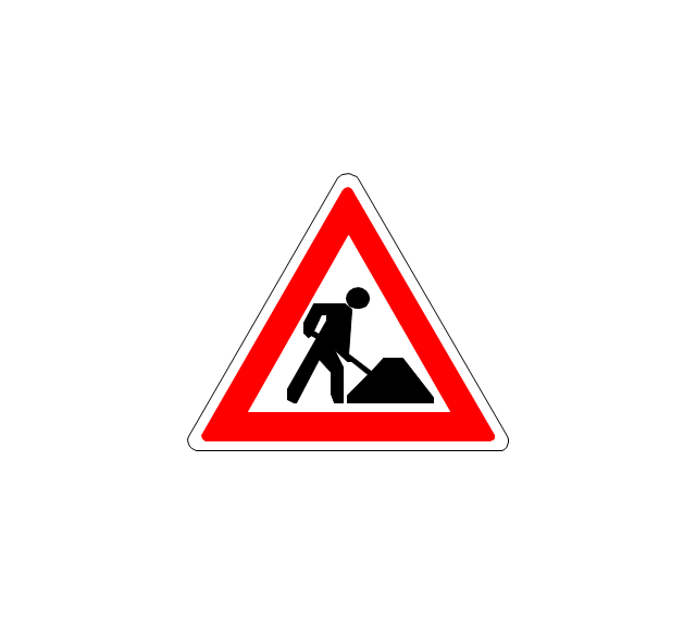
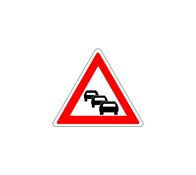
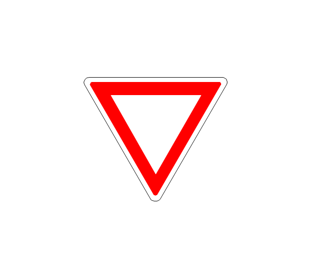
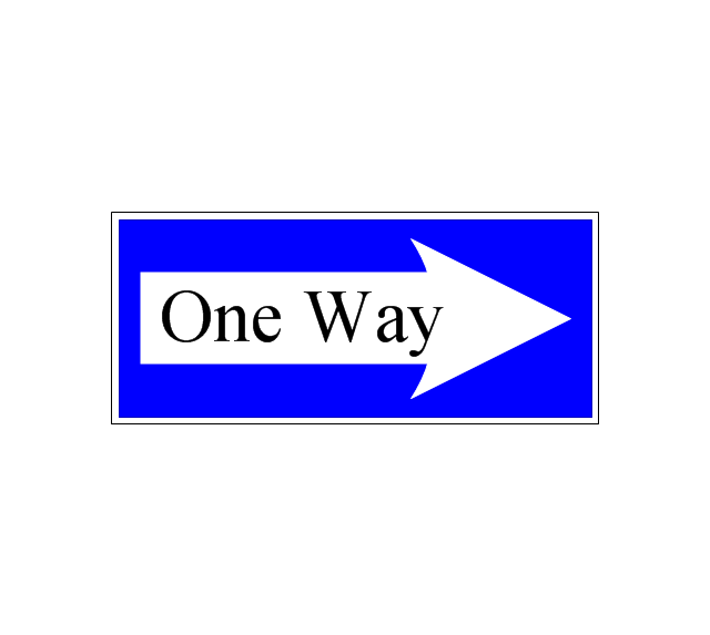
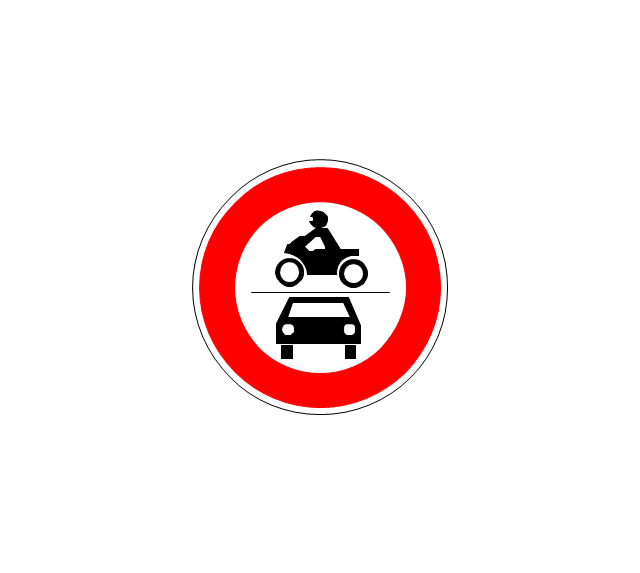
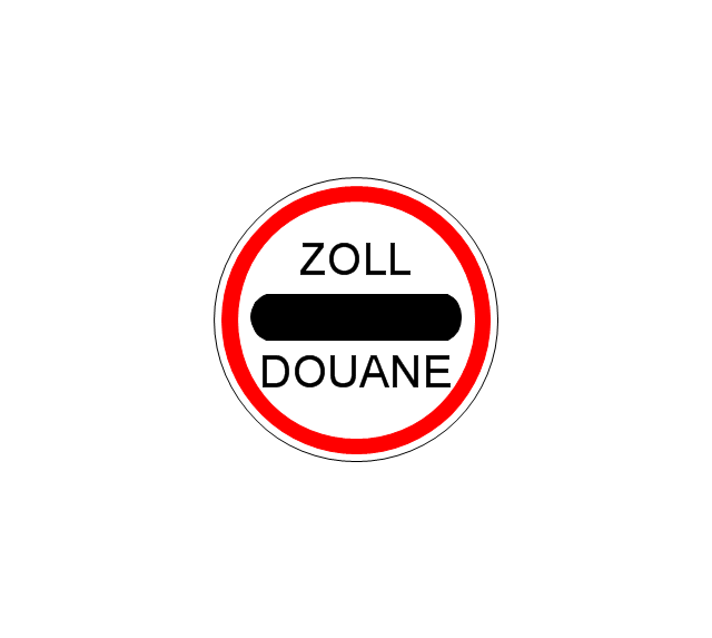
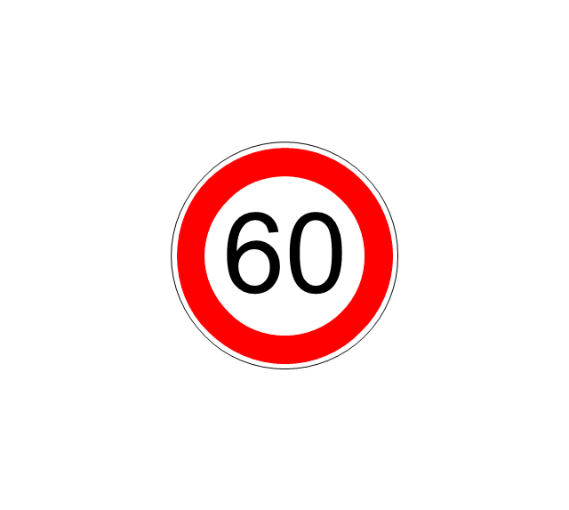
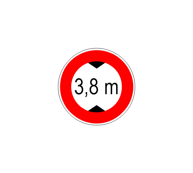
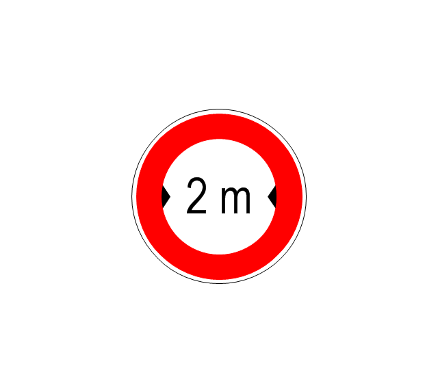
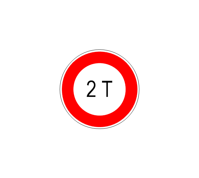
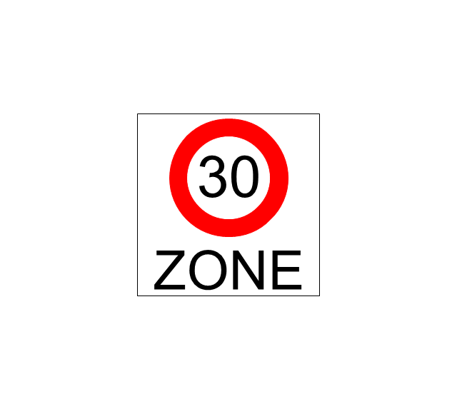
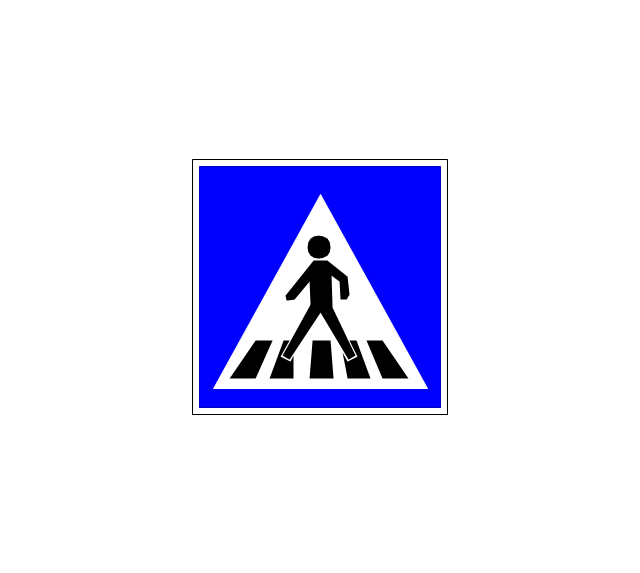
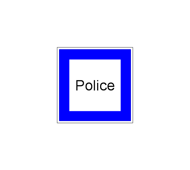
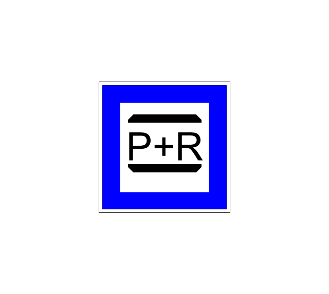
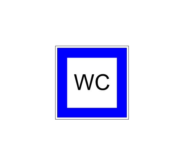
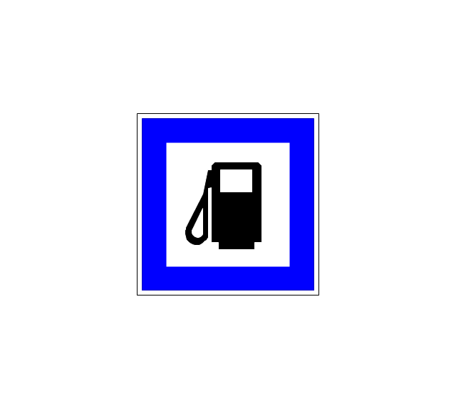
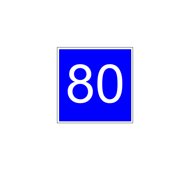
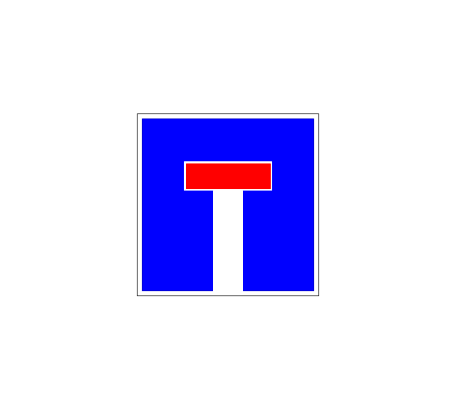
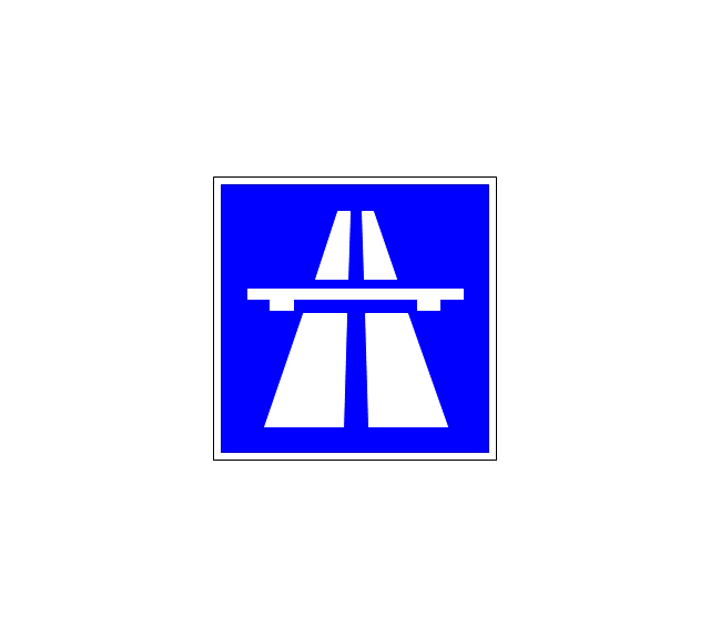
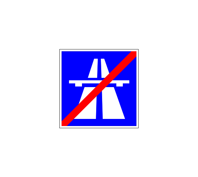
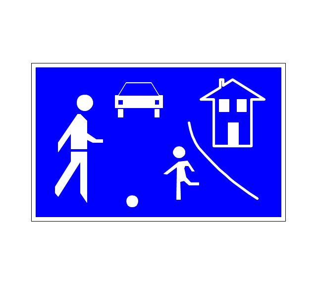
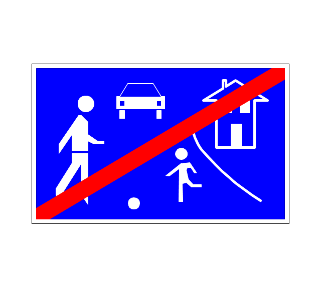
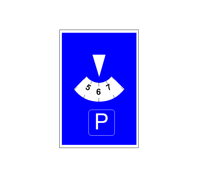
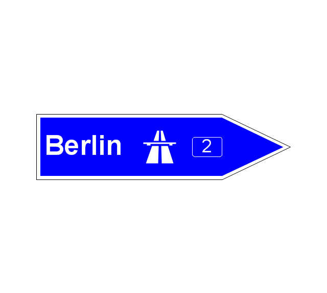
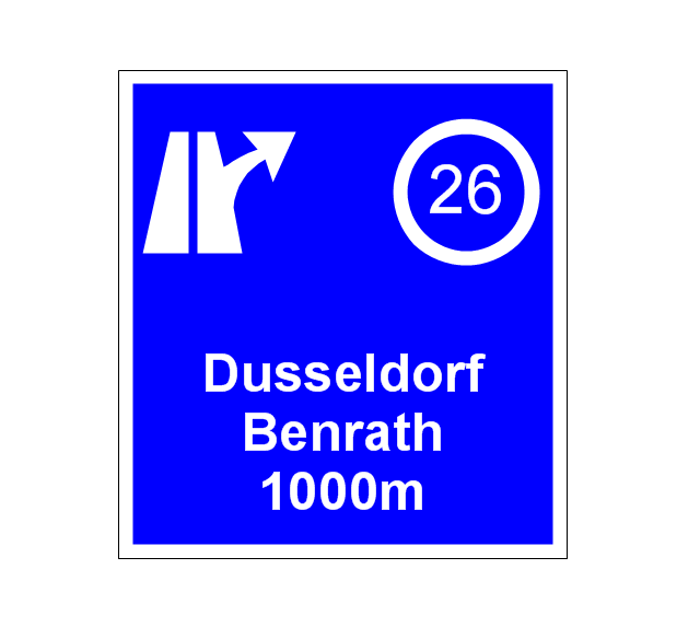
The vector stencils library "Road signs" contains 58 symbols of road signs for labeling the road and route maps, directional and transit maps, street and locator maps.
"Traffic signs or road signs are signs erected at the side of or above roads to give instructions or provide information to road users.
... many countries have adopted pictorial signs or otherwise simplified and standardized their signs to overcome language barriers, and enhance traffic safety. Such pictorial signs use symbols (often silhouettes) in place of words and are usually based on international protocols. Such signs were first developed in Europe, and have been adopted by most countries to varying degrees." [Traffic sign. Wikipedia]
The pictograms example "Road signs - Vector stencils library" was created using the ConceptDraw PRO diagramming and vector drawing software extended with the Directional Maps solution from the Maps area of ConceptDraw Solution Park.
www.conceptdraw.com/ solution-park/ maps-directional
- 3D pictorial road map | 3D pictorial road map | 2D Directional map ...
- 3D pictorial road map | ARL route map | Rolla USGS Center locator ...
- Directional Maps | Design elements - 3D directional maps | 3D ...
- 3D Directional map - Template | 3D pictorial street map | Road signs ...
- Design elements - 3D directional maps | Directional Maps | 3D ...
- 3D pictorial road map
- Design elements - 3D directional maps | 3D pictorial road map | 3D ...
- 3D Network Diagram Software | Basic Diagramming | 3D Network ...
- 3D pictorial street map | Design elements - 3D directional maps | 3D ...
- 3D pictorial road map | Site Plans | Design elements - 3D directional ...
- 3D pictorial street map | Design elements - 3D directional maps ...
- Design elements - 3D directional maps | Maps and Directions | Map ...
- 3D pictorial street map
- 3D pictorial road map | Design elements - 3D directional maps | 3D ...
- Design elements - 3D directional maps | Basic Flowchart Symbols ...
- Maps | 3D Network Diagram Software | Maps and Directions | 3d ...
- Infographic software: the sample of New York City Subway map ...
- Directional Maps | Maps | Design elements - 3D directional maps ...
- Road Transport - Design Elements | 3D pictorial street map ...
- Road Transport - Design Elements | Design elements - Road signs ...























-road-signs---vector-stencils-library.png--diagram-flowchart-example.png)

-road-signs---vector-stencils-library.png--diagram-flowchart-example.png)