Geo Map — South America Continent

Map of Continents

Geo Map - South America - Haiti

Geo Map - South America - Chile

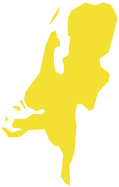
Geo Map - South America - Dominican Republic
Geo Map - Europe - Netherlands
Geo Map - South America - Jamaica

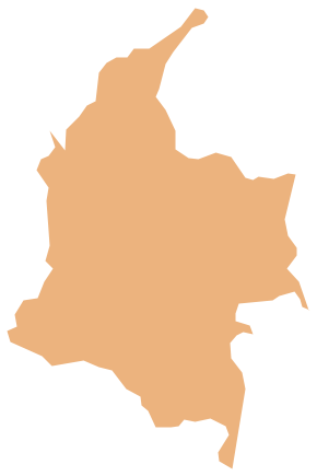
Geo Map - South America - Colombia
Geo Map - South America - Cuba

Geo Map - South America - Panama

Geo Map — United States of America Map

Geo Map - South America - Guyana

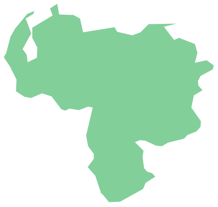
Geo Map - South America - Venezuela
Geo Map - South America - Costa Rica

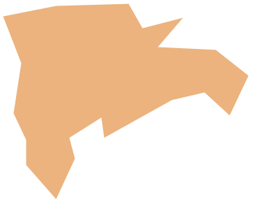
Geo Map - South America - Trinidad and Tobago

- North Usa All Flags
- Flags Of All North America Countries
- National Flag In All State
- List Of All Caricom Countries And Their Flags
- Star Network Topology | Geo Map - Africa - Central African Republic ...
- Design elements - North and Central America country flags | North ...
- Design elements - Education maps (EU) | Geo Map - Europe ...
- All Country Flags Of North America
- South America Flag All
- All South American Flags
- Design elements - Asia flags | Flags - Stencils library | Asia flags ...
- Geo Map - South America - Paraguay | South America flags ...
- South America country flags - Vector stencils library | Geo Map ...
- Geo Map - South America - Venezuela | South America flags ...
- Design elements - Continental map | Geo Map of Americas | Geo ...
- South America regions - Political map | South America country flags ...
- North and Central America country flags - Vector stencils library ...
- South America flags - Stencils library | Geo Map - South America ...
- Geo Map - South America - Peru | Peru wheat area and production ...
- Europe Countries Flags With Names