Geo Map — United States of America Map
United States of America (USA) is a federal republic that includes 50 states and a federal district. It is the third largest country by population, fourth by the total area, and one of the most diverse in respect of nationalities and cultures. ConceptDraw DIAGRAM software extended with Continent Maps solution is ideal to draw professional looking Geological map of United States of America, USA map with states, the separate maps of different states of America, thematic maps, geospatial infographics, and varied vector illustrations for your business documents, presentations and websites. Use the pre-designed vector geo map shapes offered by numerous libraries, in particular by the United States of America library that contains 53 United States of America map contours. Each map is scaled, with the option to add the further levels of detail, thus the county borders, their names, capitals, and major cities can be instantly shown or hidden using the Action menu for each state map. ConceptDraw DIAGRAM software gives you a full control over the map size, shading, color fills and alignment.Geo Map - South America - Mexico
Mexico, officially the United Mexican States, is a federal republic in North America. The vector stencils library Mexico contains contours for ConceptDraw DIAGRAM diagramming and vector drawing software. This library is contained in the Continent Maps solution from Maps area of ConceptDraw Solution Park."A state of the United States of America is one of the 50 constituent political entities that shares its sovereignty with the United States federal government."
[U.S. state. Wikipedia]
This political map example was redesigned from the Wikimedia Commons file: Map of USA with state names 2.svg.
[commons.wikimedia.org/ wiki/ File:Map_ of_ USA_ with_ state_ names_ 2.svg]
This file is licensed under the Creative Commons Attribution-Share Alike 3.0 Unported license. [creativecommons.org/ licenses/ by-sa/ 3.0/ deed.en]
The example "Map of USA with state names" was created using the ConceptDraw PRO diagramming and vector drawing software extended with the Continent Map solution from the Maps area of ConceptDraw Solution Park.
 USA Maps
Use the USA Maps solution to create a map of USA, a US interstate map, printable US maps, US maps with cities and US maps with capitals. Create a complete USA states map.
 Continent Maps
Continent Maps solution extends ConceptDraw DIAGRAM software with templates, samples and libraries of vector stencils for drawing the thematic maps of continents, state maps of USA and Australia.
Geo Map — USA — Montana
Montana is a state in the Western United States. The vector stencils library Montana contains contours for ConceptDraw DIAGRAM diagramming and vector drawing software. This library is contained in the Continent Maps solution from Maps area of ConceptDraw Solution Park.Geo Map — USA — Oklahoma
Oklahom is a state located in the South Central United States. The vector stencils library Oklahoma contains contours for ConceptDraw DIAGRAM diagramming and vector drawing software. This library is contained in the Continent Maps solution from Maps area of ConceptDraw Solution Park.Geo Map — USA — Mississippi
Mississippi is a U.S. state located in the Southern United States. The vector stencils library Mississippi contains contours for ConceptDraw DIAGRAM diagramming and vector drawing software. This library is contained in the Continent Maps solution from Maps area of ConceptDraw Solution Park.Geo Map - USA - Minnesota
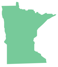
Minnesota is a U.S. state in the Midwestern United States. The vector stencils library Minnesota contains contours for ConceptDraw DIAGRAM diagramming and vector drawing software. This library is contained in the Continent Maps solution from Maps area of ConceptDraw Solution Park.Geo Map of Americas
The Americas are the combined continental landmasses of North America and South America, in the Western Hemisphere. There are 35 sovereign states in the Americas. ConceptDraw is idea to draw the geological maps of America from the pre-designed vector geo map shapes and vector images map of america. Use Continent Maps solution from the Maps area of ConceptDraw Solution Park to draw thematic maps, geospatial infographics and vector illustrations for your business documents, presentations and websites.Geo Map — South America Continent
South America includes 12 sovereign states. ConceptDraw DIAGRAM is idea to draw the geological maps of South America continent from the pre-designed vector geo map shapes. Use Continent Maps solution from the Maps area of ConceptDraw Solution Park to draw thematic maps, geospatial infographics and vector illustrations for your business documents, presentations and websites.Use this template of North America map with contours of North American countries, capitals and main cities to design your political or thematic map. This North America map template for the ConceptDraw PRO diagramming and vector drawing software is included in the Continent Maps solution from the Maps area of ConceptDraw Solution Park.
Geo Map - USA - Arkansas
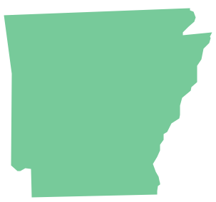
Arkansas is a state located in the Southern region of the United States. The vector stencils library Arkansas contains contours for ConceptDraw DIAGRAM diagramming and vector drawing software. This library is contained in the Continent Maps solution from Maps area of ConceptDraw Solution Park.HelpDesk
How to Draw a Map of USA States
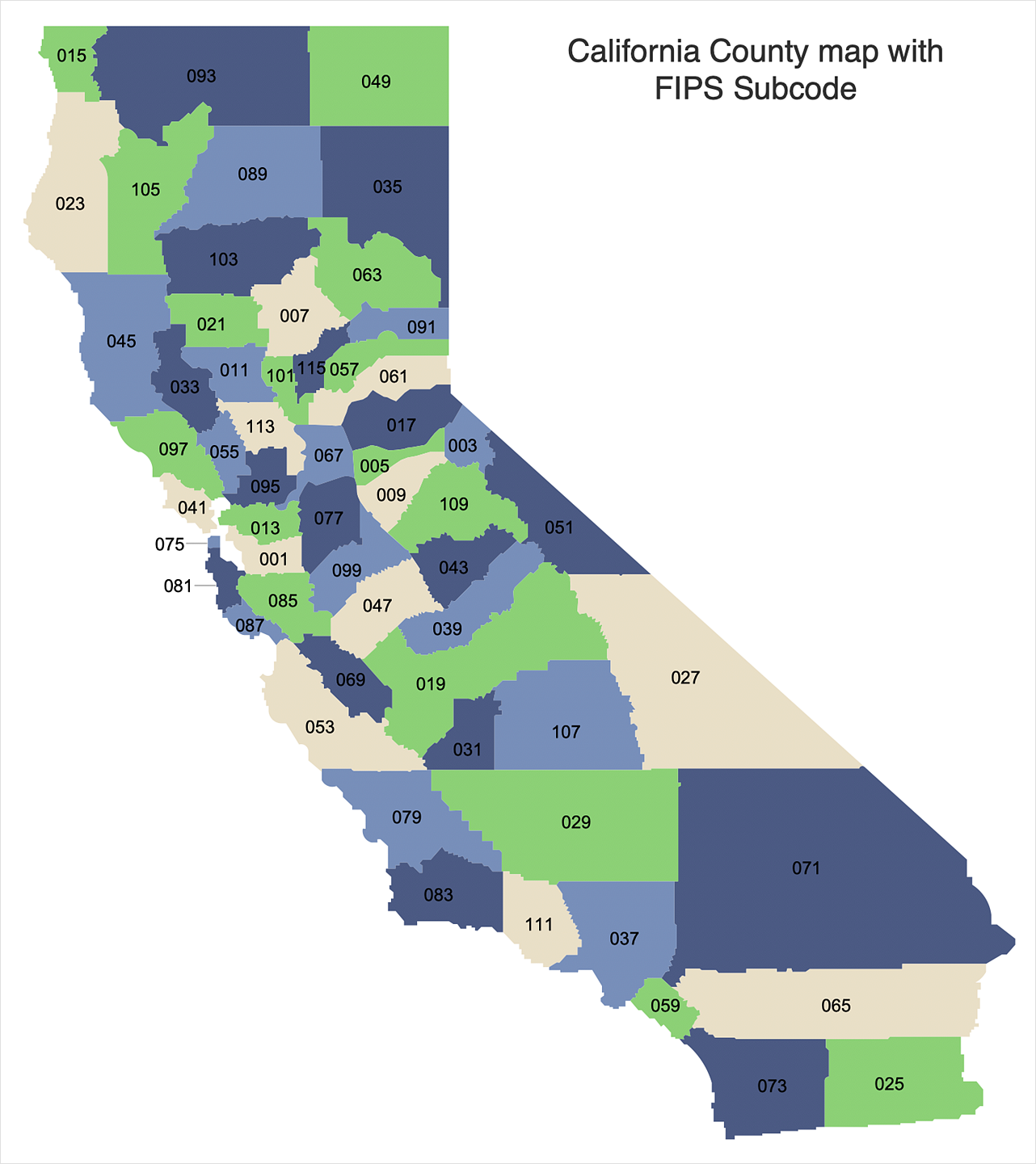
You can find a huge set of geopolitical statistical data regarding America. A common way of visualizing this data is to create maps that connect a particular data in relation to a specific geographical area. Thematic maps are used to depict such data as population density, average rainfall, or political allegiance, representing the data by using visual elements and annotation. Thematic maps always focus on one particular subject matter unlike general reference maps, which display information on different subjects — vegetation, topology, roads, and highways, etc. The United States Mapping Solution for ConceptDraw DIAGRAM includes all of the US States with county outlined borders, from the largest, San Bernardino in California, to the smallest Kalawao County, Hawaii.Geo Map - South America - Guyana
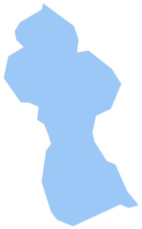
Guyana, officially the Co-operative Republic of Guyana, is a sovereign state on the northern coast of South America. The vector stencils library Guyana contains contours for ConceptDraw DIAGRAM diagramming and vector drawing software. This library is contained in the Continent Maps solution from Maps area of ConceptDraw Solution Park.- Geo Map - United States of America Map | USA Maps | Geo Map ...
- Geo Map - United States of America Map | Geo Map - USA - Alaska ...
- Geo Map - United States of America Map | Map of USA with state ...
- Map of USA with state names | Geo Map - United States of America ...
- Geo Map - United States of America Map | Continent Maps | Map of ...
- Geo Map - United States of America Map | Continent Maps | Map of ...
- Geo Map - United States of America Map
- USA Maps | Geo Map - United States of America Map | Map of USA ...
- Geo Map - United States of America Map | How to Draw a Map of ...
- Geo Map - United States of America Map | How to Draw a Map of ...
- Geo Map - United States of America Map | Geo Map - USA ...
- Mape Of America With Name Of States
- Geo Map - United States of America Map | Andean states - Political ...
- Geo Map - United States of America Map | USA Maps | Map of USA ...
- Geo Map - United States of America Map
- Geo Map - United States of America Map | Map of USA States | How ...
- Ranks US states by peacefulness | Geo Map - United States of ...
- Geo Map - United States of America Map | USA Maps | Map of USA ...
- Map Of America With States
- America Map With States


