Geo Map - Asia - Japan
Japan is an island nation in East Asia. Located in the Pacific Ocean, it lies to the east of the Sea of Japan, China, North Korea, South Korea and Russia, stretching from the Sea of Okhotsk in the north to the East China Sea and Taiwan in the south.The vector stencils library Japan contains contours for ConceptDraw PRO diagramming and vector drawing software. This library is contained in the Continent Maps solution from Maps area of ConceptDraw Solution Park.
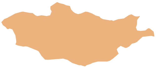
Geo Map - Asia - Mongolia
Mongolia is a landlocked country in Central Asia.The vector stencils library Mongolia contains contours for ConceptDraw PRO diagramming and vector drawing software. This library is contained in the Continent Maps solution from Maps area of ConceptDraw Solution Park.
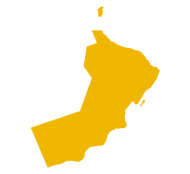
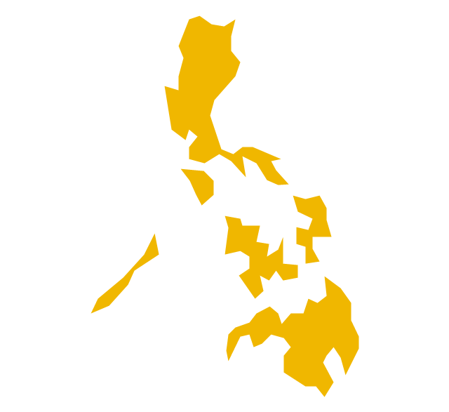
The vector stencils library "Asia" contains 57 Asian state map contours for drawing thematic and political maps of Asia. Use it for visual representation of geospatial information, statistics and quantitative data.
"Asia is the Earth's largest and most populous continent, located primarily in the eastern and northern hemispheres. ... Countries: 49 (and 5 disputed)." [Asia. Wikipedia]
The state map contours example "Asia - Vector stencils library" was created using the ConceptDraw PRO diagramming and vector drawing software extended with the Continent Maps solution from the Maps area of ConceptDraw Solution Park.
The vector stencils library "Asia" contains 47 country contours for drawing thematic maps of Asia.
Use it in your spatial infographics for visual representation of geospatial information, statistics and quantitative data in the ConceptDraw PRO diagramming and vector drawing software extended with the Spatial Infographics solution from the area "What is Infographics" of ConceptDraw Solution Park.
Use it in your spatial infographics for visual representation of geospatial information, statistics and quantitative data in the ConceptDraw PRO diagramming and vector drawing software extended with the Spatial Infographics solution from the area "What is Infographics" of ConceptDraw Solution Park.
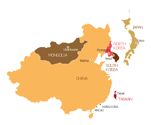
"East Asia or Eastern Asia (the latter form preferred solely by the United Nations) is a subregion of Asia that can be defined in either geographical or cultural terms. ...
The UN subregion of Eastern Asia and other common definitions of East Asia contain the entirety of the People's Republic of China, Japan, North Korea, South Korea, Mongolia and Taiwan.
Culturally, China, Japan, Korea, Taiwan, and Vietnam are commonly seen as being encompassed by cultural East Asia." [East Asia. Wikipedia]
This East Asia map was redesigned from Wikimedia Commons file: Map of East Asia.png. [commons.wikimedia.org/ wiki/ File:Map_ of_ East_ Asia.png]
This file is licensed under the Creative Commons Attribution-Share Alike 3.0 Unported license. [creativecommons.org/ licenses/ by-sa/ 3.0/ deed.en]
The example "East Asia - Political map" was created using the ConceptDraw PRO diagramming and vector drawing software extended with the Continent Maps solution from the Maps area of ConceptDraw Solution Park.
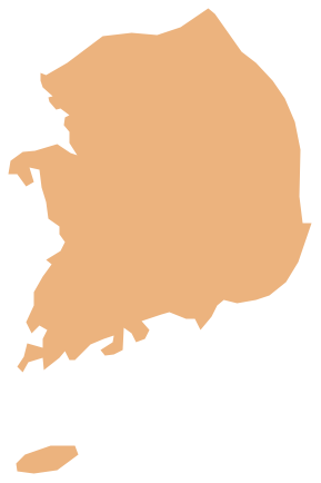
Geo Map - Asia - South Korea
South Korea, officially the Republic of Korea, is a country in East Asia, constituting the southern part of the Korean Peninsula.The vector stencils library South Korea contains contours for ConceptDraw PRO diagramming and vector drawing software. This library is contained in the Continent Maps solution from Maps area of ConceptDraw Solution Park.
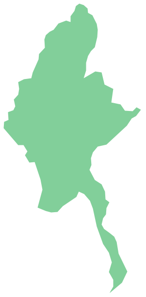
Geo Map - Asia - Myanmar
Burma, officially the Republic of the Union of Myanmar, commonly shortened to Myanmar, is a sovereign state in Southeast Asia bordered by Bangladesh, India, China, Laos and Thailand.The vector stencils library Myanmar contains contours for ConceptDraw PRO diagramming and vector drawing software. This library is contained in the Continent Maps solution from Maps area of ConceptDraw Solution Park.
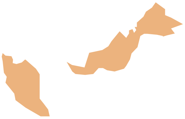
Geo Map - Asia - Malaysia
Malaysia is a federal constitutional monarchy in Southeast Asia.The vector stencils library Malaysia contains contours for ConceptDraw PRO diagramming and vector drawing software. This library is contained in the Continent Maps solution from Maps area of ConceptDraw Solution Park.
Geo Map - Asia - Indonesia
Indonesia, officially the Republic of Indonesia, is a sovereign state in Southeast Asia and Oceania.The vector stencils library Indonesia contains contours for ConceptDraw PRO diagramming and vector drawing software. This library is contained in the Continent Maps solution from Maps area of ConceptDraw Solution Park.
Geo Map - Asia - Sri Lanka
Sri Lanka, officially the Democratic Socialist Republic of Sri Lanka, is an island country in the northern Indian Ocean off the southern coast of the Indian subcontinent in South Asia; known until 1972 as Ceylon, Sri Lanka has maritime borders with India to the northwest and the Maldives to the southwest.The vector stencils library Sri Lanka contains contours for ConceptDraw PRO diagramming and vector drawing software. This library is contained in the Continent Maps solution from Maps area of ConceptDraw Solution Park.
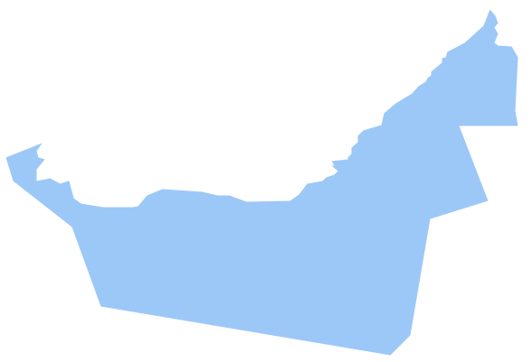
Geo Map - Asia - United Arab Emirates
The United Arab Emirates, sometimes simply called the Emirates or the UAE, is a country located in the southeast end of the Arabian Peninsula on the Persian Gulf, bordering Oman to the east and Saudi Arabia to the south, as well as sharing sea borders with Qatar, Iran and Pakistan.The vector stencils library United Arab Emirates contains contours for ConceptDraw PRO diagramming and vector drawing software. This library is contained in the Continent Maps solution from Maps area of ConceptDraw Solution Park.
Geo Map - Asia - Singapore
Singapore, officially the Republic of Singapore, is a sovereign city-state and island country in Southeast Asia.The vector stencils library Singapore contains contours for ConceptDraw PRO diagramming and vector drawing software. This library is contained in the Continent Maps solution from Maps area of ConceptDraw Solution Park.
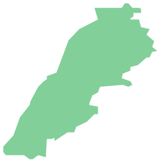
Geo Map - Asia - Lebanon
Lebanon, officially the Lebanese Republic, is a Democratic Republic country in the East Mediterranean.The vector stencils library Lebanon contains contours for ConceptDraw PRO diagramming and vector drawing software. This library is contained in the Continent Maps solution from Maps area of ConceptDraw Solution Park.
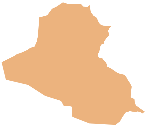
Geo Map - Asia - Iraq
Iraq, officially the Republic of Iraq, is a country in Western Asia encompassing the Mesopotamian alluvial plain, the northwestern end of the Zagros mountain range, and the eastern part of the Syrian Desert.The vector stencils library Iraq contains contours for ConceptDraw PRO diagramming and vector drawing software. This library is contained in the Continent Maps solution from Maps area of ConceptDraw Solution Park.
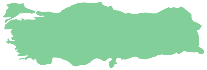
Geo Map - Asia - Turkey
Turkey, officially the Republic of Turkey, is a contiguous transcontinental country, located mostly on Anatolia in Western Asia, and on East Thrace in Southeastern Europe.The vector stencils library Turkey contains contours for ConceptDraw PRO diagramming and vector drawing software. This library is contained in the Continent Maps solution from Maps area of ConceptDraw Solution Park.
- Geo Map - Asia - Japan | Asia - Vector stencils library | Asia - Vector ...
- Geo Map - Asia - Japan | Asia - Vector stencils library | Geo Map ...
- Geo Map - Asia | East Asia - Political map | Geo Map - Asia - Japan ...
- Geo Map - Asia - Japan | Asia - Vector stencils library | Asia - Vector ...
- Asia map
- Asia Continent Map
- Geo Map - Asia - Japan | Asia - Vector stencils library | Asia flags ...
- Continents Map | Asia map with capitals - Template | Geo Map - Asia ...
- Geo Map - Asia - South Korea | Geo Map - Asia - Japan | Geo Map ...
- East Asia - Political map
- Asia map with capitals - Template | Continents Map | Geo Map - Asia ...
- Geo Map - Asia
- Geo Map - Asia - Myanmar | Asia - Vector stencils library | Geo Map ...
- Geo Map - Asia - South Korea
- Geo Map - Asia - Philippines | Asia - Vector stencils library ...
- Geo Map - Asia | Asia - Vector stencils library | Asia - Vector stencils ...
- Geo Map - Asia - Indonesia | Asia - Vector stencils library | Geo Map ...
- Geo Map - Asia - Indonesia | Asia - Vector stencils library | Geo Map ...
- Geo Map - Asia - South Korea
- Geo Map - Asia - Myanmar | Asia - Vector stencils library | Asia ...



-asia---vector-stencils-library.png--diagram-flowchart-example.png)


-asia---vector-stencils-library.png--diagram-flowchart-example.png)


-asia---vector-stencils-library.png--diagram-flowchart-example.png)


