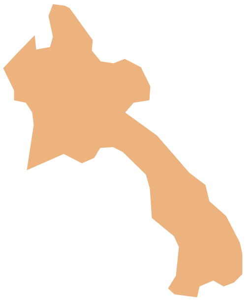
Geo Map - Asia - Laos
Laos, officially the Lao People's Democratic Republic, is a landlocked country in Southeast Asia, bordered by Burma and China to the northwest, Vietnam to the east, Cambodia to the south, and Thailand to the west.The vector stencils library Laos contains contours for ConceptDraw PRO diagramming and vector drawing software. This library is contained in the Continent Maps solution from Maps area of ConceptDraw Solution Park.
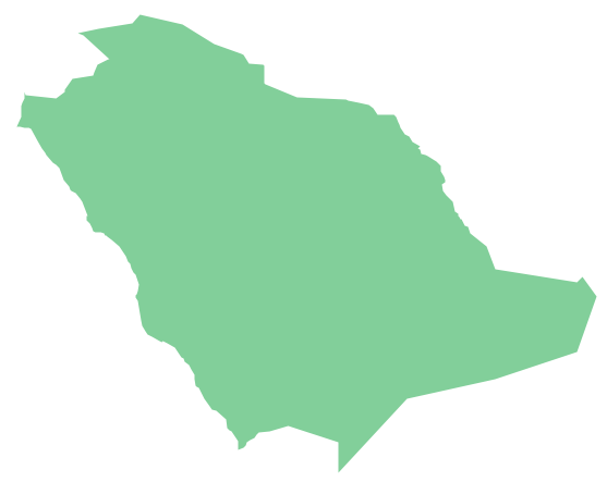
Geo Map - Asia - Saudi Arabia
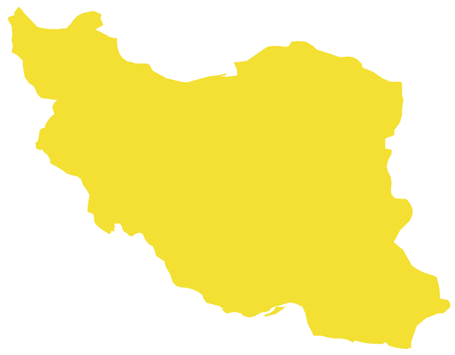
First of all, Saudi Arabia is known as "the Land of the Two Holy Mosques". Two of the holiest sites of Islam are located in Saudi Arabia. Medina - the city where the Quran was finally approved, and where Prophet Muhammad was buried, and Mecca, the birthplace of Muhammad. Every year, millions of muslims perform hajj and visit Al-Masjid al-Haram - the Sacred Mosque. Unfortunately, the entry is prohibited for non-Muslim people. The citizens of the country live under Sharia law, which impose certain obligations. For example, the usage of drugs and alcohol is forbidden. Gambling is also under the ban. Expats have a possibility to live in special reservations - compounds, where some concessions are allowed, for example, the appearance of women is not so strictly regulated and they have a right to drive there.Geo Map - Asia - Iran
Iran, also known as Persia, officially the Islamic Republic of Iran since 1980, is a country in Western Asia.The vector stencils library Iran contains contours for ConceptDraw PRO diagramming and vector drawing software. This library is contained in the Continent Maps solution from Maps area of ConceptDraw Solution Park.
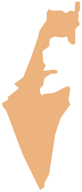
Geo Map - Asia - Israel
Israel, officially the State of Israel, is a country in Western Asia, on the south-eastern shore of the Mediterranean Sea.The vector stencils library Israel contains contours for ConceptDraw PRO diagramming and vector drawing software. This library is contained in the Continent Maps solution from Maps area of ConceptDraw Solution Park.
Geo Map - Asia - Brunei
Brunei, officially the Nation of Brunei, the Abode of Peace (Malay: Negara Brunei Darussalam, Jawi), is a sovereign state located on the north coast of the island of Borneo, in Southeast Asia.The vector stencils library Brunei contains contours for ConceptDraw PRO diagramming and vector drawing software. This library is contained in the Continent Maps solution from Maps area of ConceptDraw Solution Park.
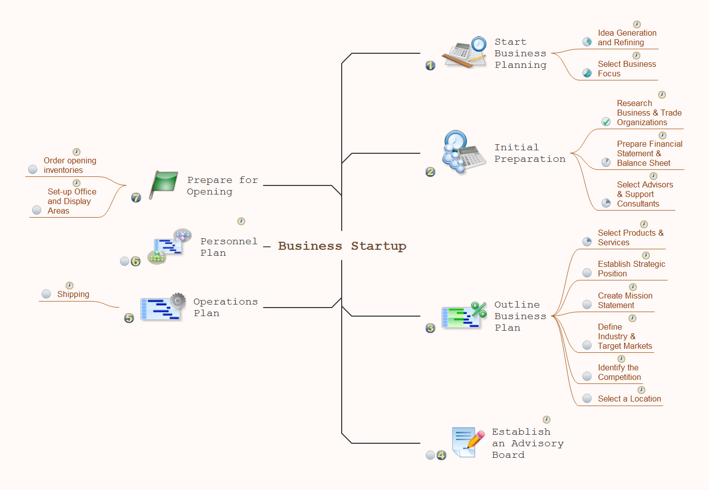
How To Do A Mind Map In PowerPoint
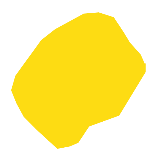
ConceptDraw MINDMAP - an excellent tool for exporting mind maps to PowerPoint to visualize and presenting your project. You can simply generate, change, update your mindmap and then make a presentation in PowerPoint.Geo Map - Africa - Lesotho
Lesotho, officially the Kingdom of Lesotho, is a landlocked country completely surrounded by South Africa.The vector stencils library Lesotho contains contours for ConceptDraw PRO diagramming and vector drawing software. This library is contained in the Continent Maps solution from Maps area of ConceptDraw Solution Park.
Geo Map - South America - Peru
Peru, officially the Republic of Peru, is a country in western South America.The history of Peru goes back to the distant past and its divided into several main stages. Geography of Peru is also diverse - there is a desert, as well as the ocean coast, and of course the mountain ranges.
The Continent Maps solution from Maps area of ConceptDraw Solution Park provides stencil library Peru, which is made up of well-designed vector shapes delivering easy experience in creating diagrams with ConceptDraw Pro software.
All ConceptDraw PRO documents are vector graphic files and are available for reviewing, modifying, and converting to a variety of formats: image, HTML, PDF file, MS PowerPoint Presentation, Adobe Flash, MS Visio (.VDX, .VSDX).
The vector stencils library "Asia" contains 57 Asian state map contours for drawing thematic and political maps of Asia. Use it for visual representation of geospatial information, statistics and quantitative data.
"Asia is the Earth's largest and most populous continent, located primarily in the eastern and northern hemispheres. ... Countries: 49 (and 5 disputed)." [Asia. Wikipedia]
The state map contours example "Asia - Vector stencils library" was created using the ConceptDraw PRO diagramming and vector drawing software extended with the Continent Maps solution from the Maps area of ConceptDraw Solution Park.
Geo Map - South America - French Guiana
French Guiana, officially just Guiana, is an overseas department and region of France on the north Atlantic coast of South America.The vector stencils library French Guiana contains contours for ConceptDraw PRO diagramming and vector drawing software. This library is contained in the Continent Maps solution from Maps area of ConceptDraw Solution Park.
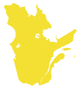
Geo Map - Canada - Quebec
Quebec is a province in east-central Canada.The vector stencils library Quebec contains contours for ConceptDraw PRO diagramming and vector drawing software. This library is contained in the Continent Maps solution from Maps area of ConceptDraw Solution Park.
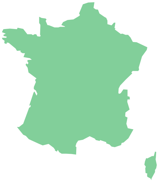
Geo Map - Europe - France
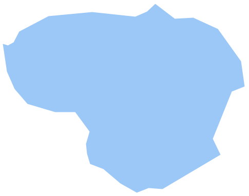
The vector stencils library France contains contours for ConceptDraw PRO diagramming and vector drawing software. This library is contained in the Continent Maps solution from Maps area of ConceptDraw Solution Park.Geo Map - Europe - Lithuania
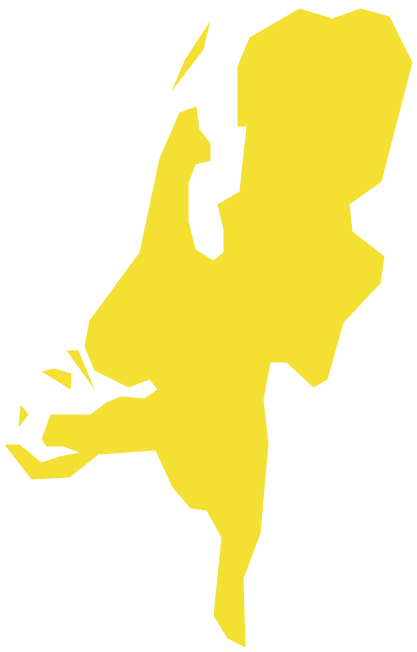
The vector stencils library Lithuania contains contours for ConceptDraw PRO diagramming and vector drawing software. This library is contained in the Continent Maps solution from Maps area of ConceptDraw Solution Park.Geo Map - Europe - Netherlands
The vector stencils library Netherlands contains contours for ConceptDraw PRO diagramming and vector drawing software. This library is contained in the Continent Maps solution from Maps area of ConceptDraw Solution Park.Geo Map - South America - Belize
Belize is a country on the northeastern coast of Central America.The vector stencils library Belize contains contours for ConceptDraw PRO diagramming and vector drawing software. This library is contained in the Continent Maps solution from Maps area of ConceptDraw Solution Park.
- South America regions - Political map | South Asia - Political map ...
- Geospatial Data | 2D Directional map - Template | Spatial ...
- Languages of South America - Thematic map | Europe thematic map ...
- Geo Map - World | Geo Map Software | Types of Map - Overview ...
- South America regions - Political map | Geo Map - Asia | Geo Map ...
- Mind Map Shares
- Picture graph - Population growth by continent, 2010 - 2013 ...
- Contur Map Europe
- Design elements - Thematic maps | Visualization Spatial Data Using ...
- South America - Political map | South America regions - Political ...
- Emergency Map Example
- Political map of Europe | European membership of the EU and ...
- How to Draw a Natural Landscape | Geo Map - USA - Alaska | Geo ...
- Continent Maps | Geo Map - South America Continent | Continent ...
- Continent Maps
- Australia Map Example
- Europe - Thematic map template | European membership of the EU ...
- Geo Map - Australia - New Zealand
- Geo Map - United States of America Map | Geo Map - Canada ...
- Continents and Oceans Map | Continent Maps | Geo Map - South ...



-asia---vector-stencils-library.png--diagram-flowchart-example.png)


-asia---vector-stencils-library.png--diagram-flowchart-example.png)


