 Continent Maps
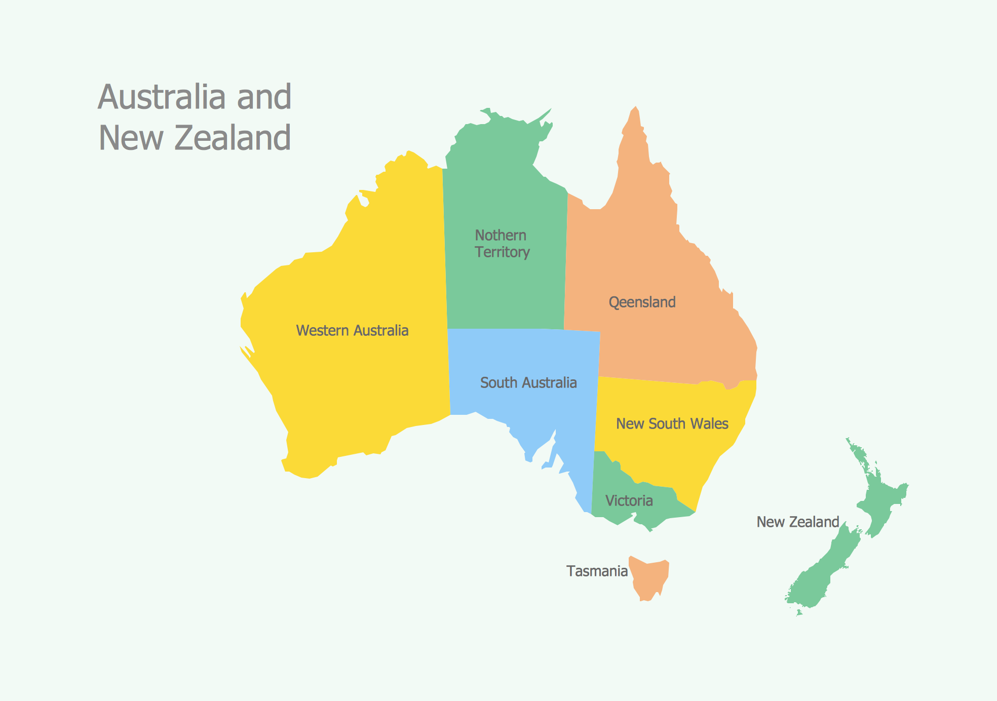
Continent Maps solution extends ConceptDraw PRO software with templates, samples and libraries of vector stencils for drawing the thematic maps of continents, state maps of USA and Australia.
Geo Map - Australia
The vector stencils library Australia contains contours of New Zealand and Australian states and mainland territories for ConceptDraw PRO diagramming and vector drawing software.Geo Map - Australia - Tasmania
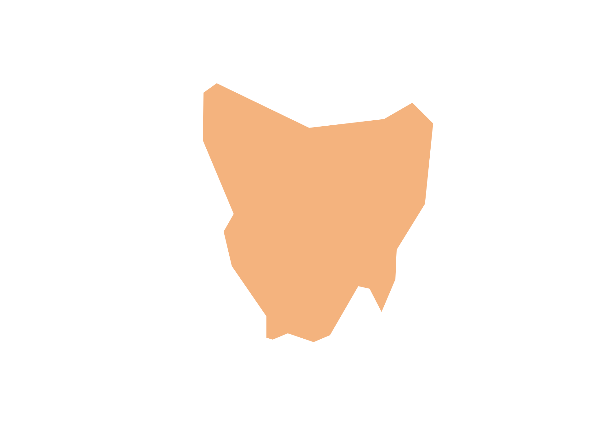
Tasmania (abbreviated as Tas and known colloquially as "Tassie") is an island state, part of the Commonwealth of Australia.Geo Map - Australia - New Zealand
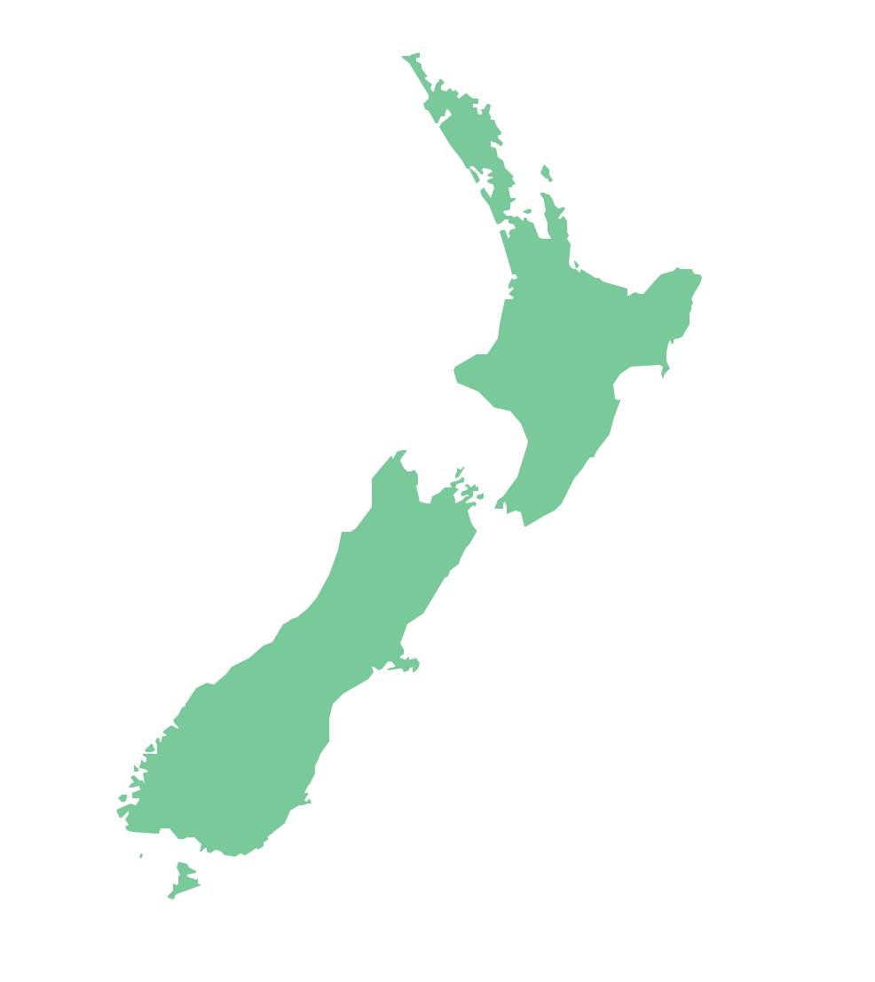
The vector stencils library Australia contains contours of New Zealand and Australian states and mainland territories for ConceptDraw PRO diagramming and vector drawing software.Map Software
Create maps, flags, and more with ConceptDrawGeo Map - South America Continent
South America includes 12 sovereign states. ConceptDraw PRO is idea to draw the geological maps of South America continent from the pre-designed vector geo map shapes. Use Continent Maps solution from the Maps area of ConceptDraw Solution Park to draw thematic maps, geospatial infographics and vector illustrations for your business documents, presentations and websites.7 Continents Map
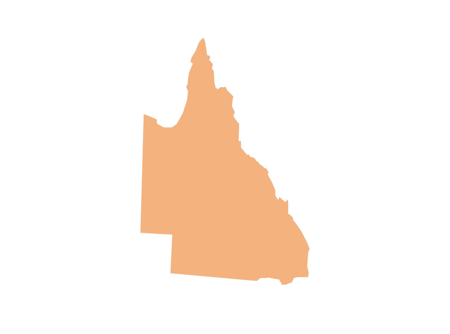
A continent is a large area of land washed by the seas. There are 7 continents on the Earth: Asia, Africa, North America, South America, Antarctica, Europe, and Australia. If you want create the 7 Continents Map, we offer you incredibly useful tool for this - ConceptDraw PRO diagramming and vector drawing software extended with Continent Maps Solution from the Maps Area of ConceptDraw Solution Park.Geo Map - Australia - Queensland
Queensland (abbreviated as QLD) is the second-largest and third-most populous state in Australia.World Continents Map
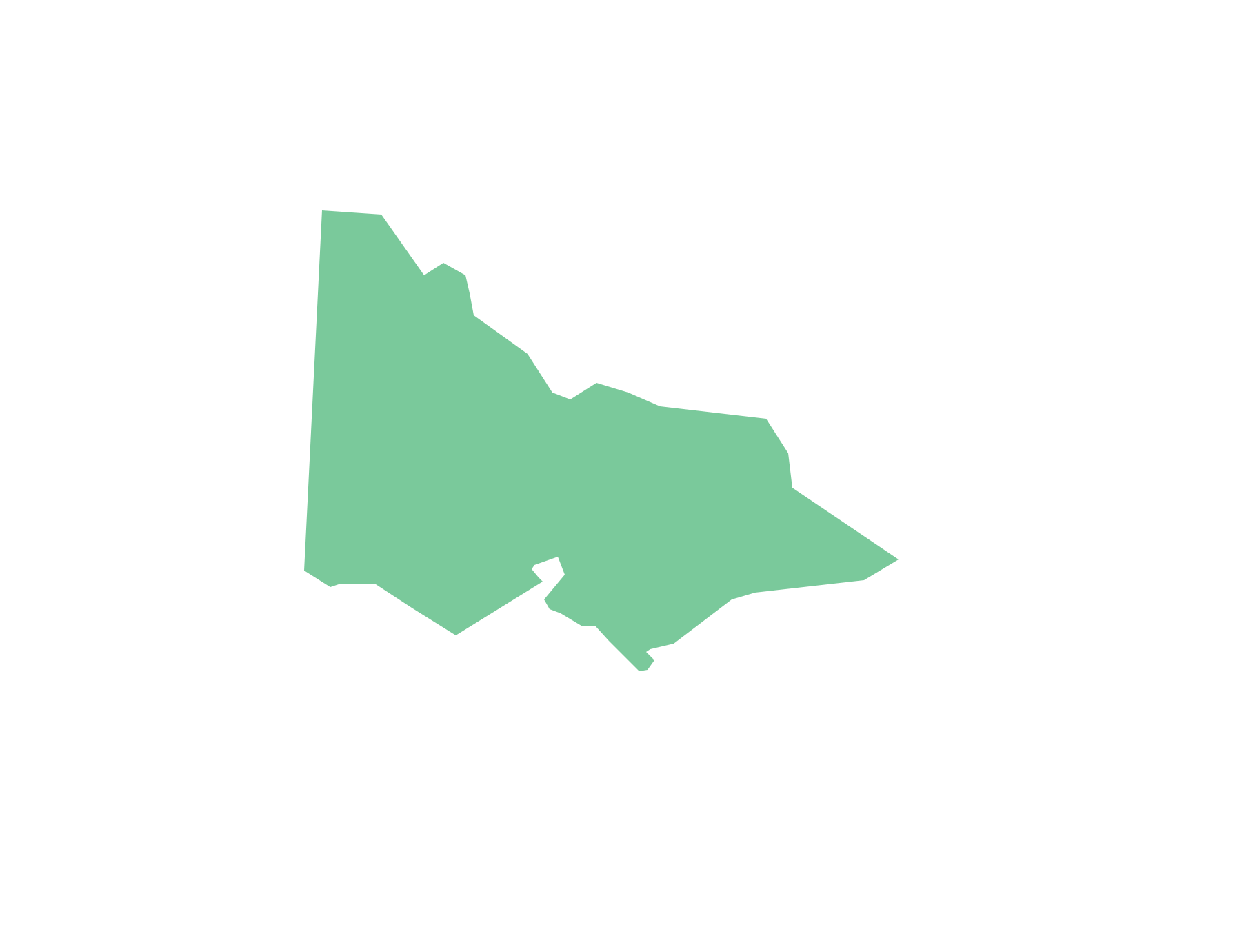
ConceptDraw PRO diagramming and vector drawing software enhanced with Continent Maps Solution from the Maps Area is the best for drawing geographic, topography, political, and many other kinds of maps for any of seven earth continents and also world continents map of any detailing.Geo Map - Australia - Victoria
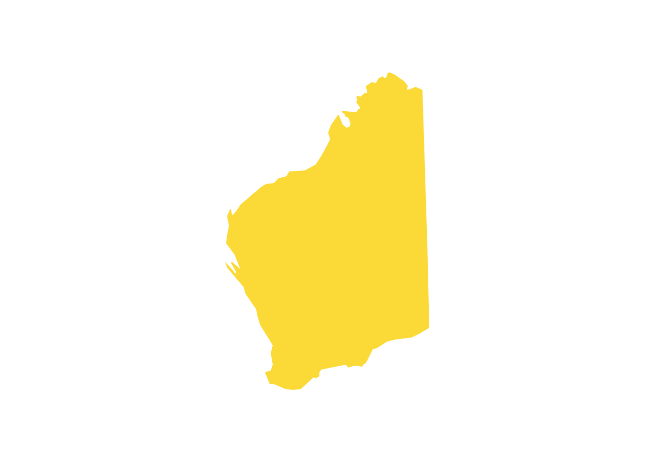
Victoria (abbreviated as Vic.) is a state in the south-east of Australia. Victoria is Australia's most densely populated state and its second-most populous state overall.Geo Map - Australia - Western Australia
Western Australia (abbreviated as WA) is a state occupying the entire western third of Australia.Geo Map - Australia - South Australia
South Australia (abbreviated as SA) is a state in the southern central part of Australia. It covers some of the most arid parts of the continent.Geo Map - Australia - Nothern Territory
Use the Australia library to draw thematic maps, geospatial infographics and vector illustrations for your business documents, presentations and websites.Continents Map
Designing of Continents Map is a quite complex and labour-intensive process. But now we have a way to make it easier - ConceptDraw PRO diagramming and vector drawing software extended with useful drawing tools of Continent Maps Solution from the Maps Area.Geo Map - Australia - New South Wales
The vector stencils library Australia contains contours of the Australian states and mainland territories for ConceptDraw PRO diagramming and vector drawing software.- Australia Continent Map Countries
- Continental Map With Countries
- Continent Map Australia
- Continent Maps | World Continents Map | 7 Continents Map ...
- Antarctica Map
- Continent Maps | Continents Map | Spatial infographics Design ...
- Continent Maps | Spatial infographics Design Elements: Continental ...
- Design elements - Continental map | Geo Map - Europe - United ...
- Design elements - Continental map | Geo Map of Americas | Geo ...
- Design elements - Thematic maps | Design elements - Continental ...
- Maghreb countries - Political map | Continent Maps | Geo Map ...
- How to Draw a Map of North America Using ConceptDraw PRO ...
- Design elements - Continental map | European membership of the ...
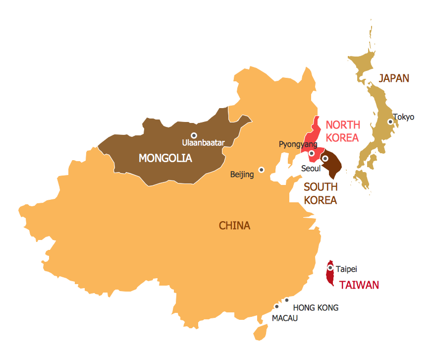
- Asian Continents Countries
- Geo Map - Asia - Indonesia | Continent Maps | Asia map with ...
- Africa map with countries , main cities and capitals - Template | Maps ...
- Geo Map - Europe | Design elements - Asia | Design elements ...
- Geo Map - Australia - New Zealand
- Map Of Maghreb Countries
- Asian Continent Countries
