Map Software
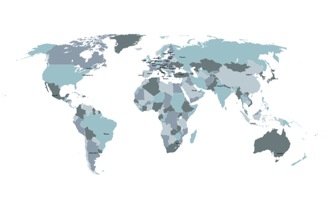
Create maps, flags, and more with ConceptDrawGeo Map - World
ConceptDraw PRO is idea to draw the geological maps of World from the pre-designed vector geo map shapes.Geo Map - Asia - Philippines
The Philippines, officially known as the Republic of the Philippines, is a sovereign island country in Southeast Asia situated in the western Pacific Ocean. Use the Continent Maps solution and Philippines library to draw thematic maps, geospatial infographics and vector illustrations. This solution to help visualize the business and thematic information connected with geographic areas, locations or customs; for your business documents, presentations and websites.Types of Map - Overview
ConceptDraw defines some map types, divided into three categories. Every map type has specific shapes and examples.How to draw Metro Map style infographics? Moscow, New York, Los Angeles, London
The solution handles designs of any complexity, and the comprehensive library covers all key aspects of a transportation system. To further enhance your map design, there is the option to embed links, that can display station images or other relevant, important information. We have also included a set of samples in the solution, that show the possible real-world application — complex tube systems including the London Tube and New York City Subway show the level of detail possible when using the Metro Map Solution.Continent Map
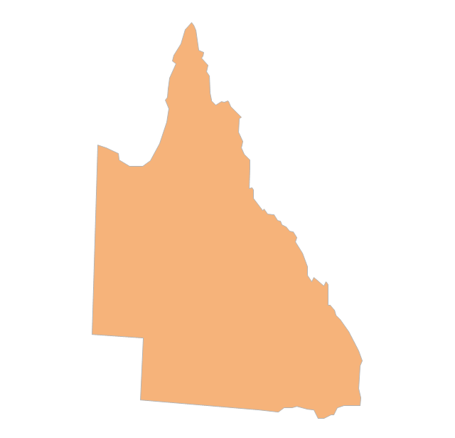
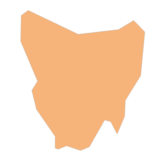
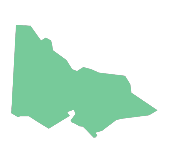
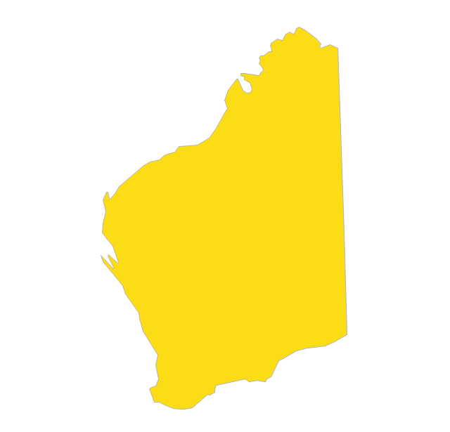
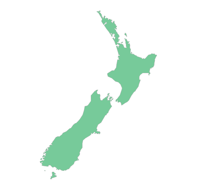
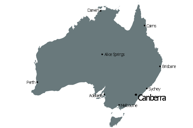
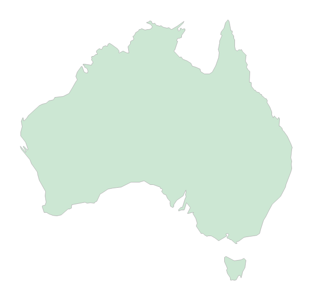
Every day many of people confront in their work with necessity of drawing various continent maps. Specially for these people was developed the Continent Maps Solution and included to the Maps Area of ConceptDraw Solution Park. Thanks to it you can design any Continent Map quick and easy.The vector stencils library "Australia" contains 10 Australian states and territories, and New Zealand map contours for drawing thematic maps of Australia and New Zealand. Use it for visual representation of geospatial information, statistics and quantitative data.
"Australia has six states - New South Wales (NSW), Queensland (QLD), South Australia (SA), Tasmania (TAS), Victoria (VIC) and Western Australia (WA) - and two major mainland territories - the Australian Capital Territory (ACT) and the Northern Territory (NT)." [Australia. Wikipedia]
The map contours example "Australia and New Zealand - Vector stencils library" was created using the ConceptDraw PRO diagramming and vector drawing software extended with the Continent Maps solution from the Maps area of ConceptDraw Solution Park.
Geo Map - Asia - Myanmar
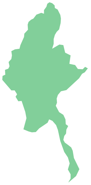
Burma, officially the Republic of the Union of Myanmar, commonly shortened to Myanmar, is a sovereign state in Southeast Asia bordered by Bangladesh, India, China, Laos and Thailand. The vector stencils library Myanmar contains contours for ConceptDraw PRO diagramming and vector drawing software. This library is contained in the Continent Maps solution from Maps area of ConceptDraw Solution Park.Geo Map of Americas
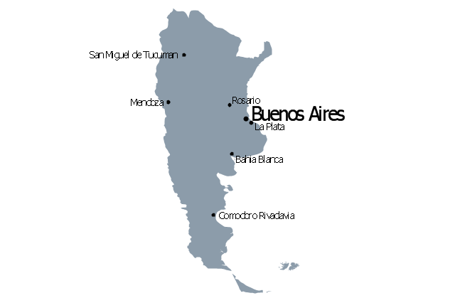
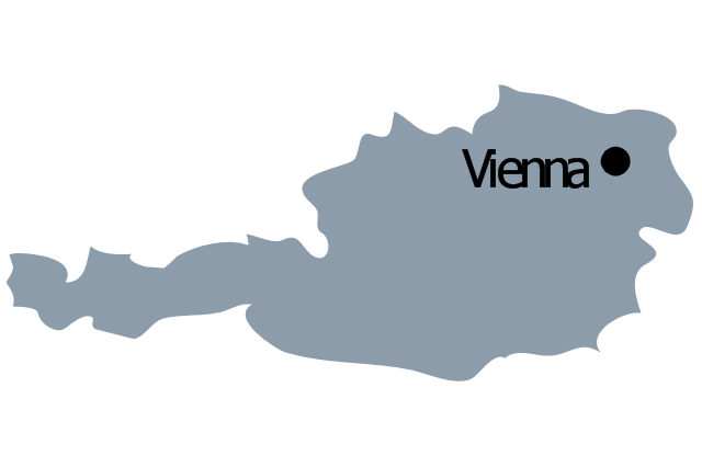
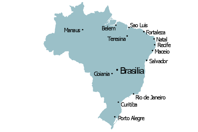
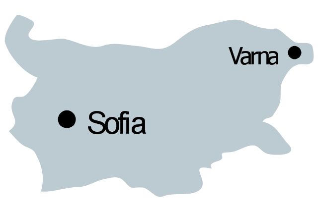
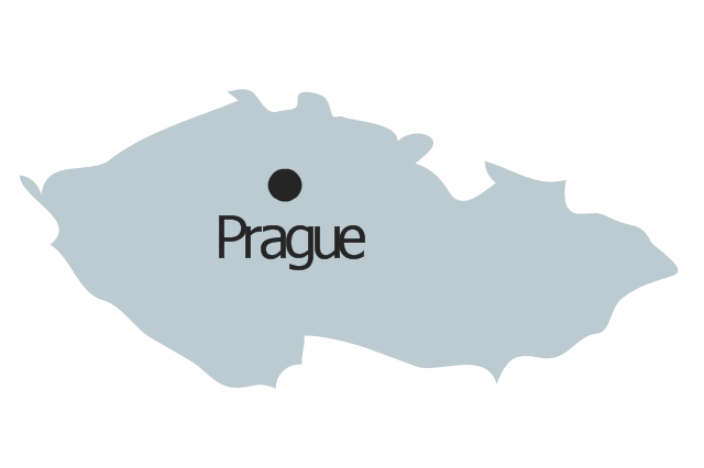
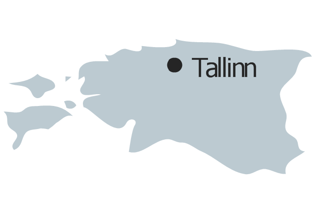
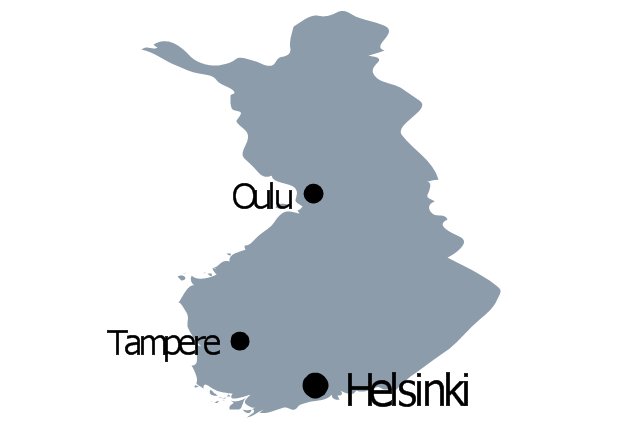
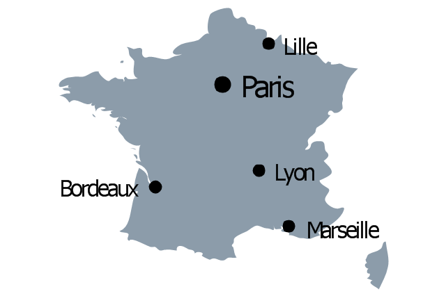
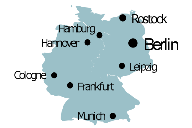
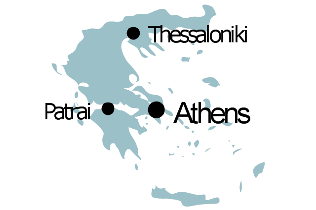
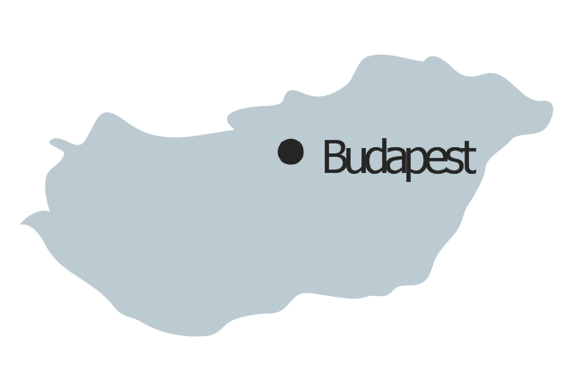
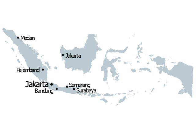
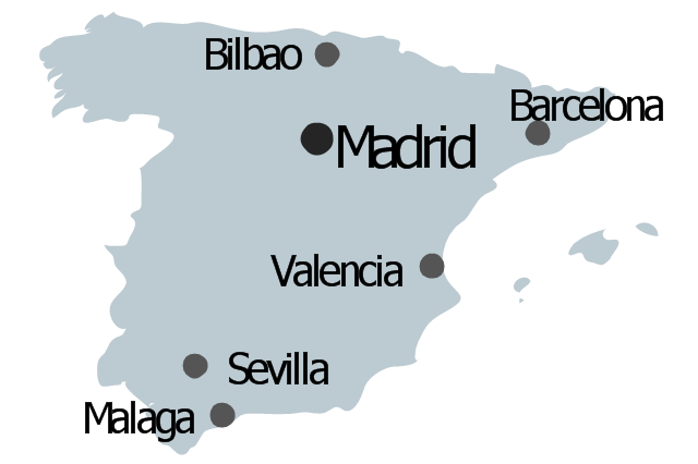
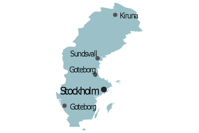
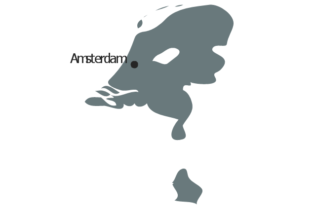
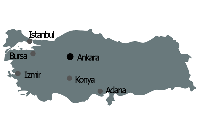
The Americas are the combined continental landmasses of North America and South America, in the Western Hemisphere. There are 35 sovereign states in the Americas. ConceptDraw is idea to draw the geological maps of America from the pre-designed vector geo map shapes and vector images map of america. Use Continent Maps solution from the Maps area of ConceptDraw Solution Park to draw thematic maps, geospatial infographics and vector illustrations for your business documents, presentations and websites.The vector stencils library "Management maps" contains 44 map contours: G-20 state maps, EU state maps and world map.
Use it to create your management infogram in the ConceptDraw PRO diagramming and vector drawing software.
The state map contours example "Management maps - Vector stencils library" is included in the solution "Marketing infographics" from the "Business infographics" area of ConceptDraw Solution Park.
Geo Map - South America - Peru
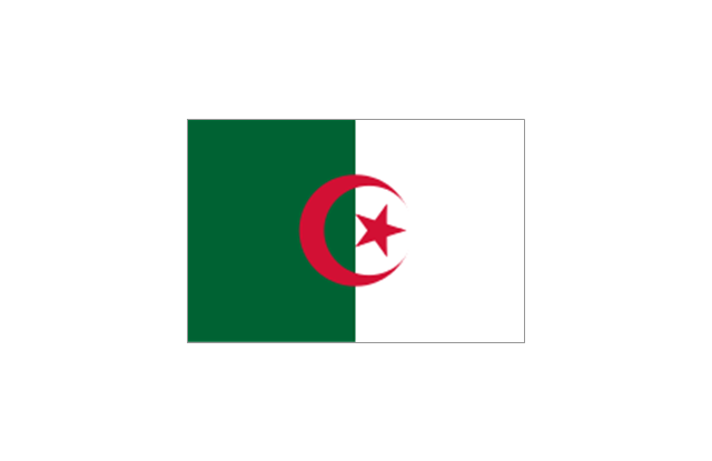
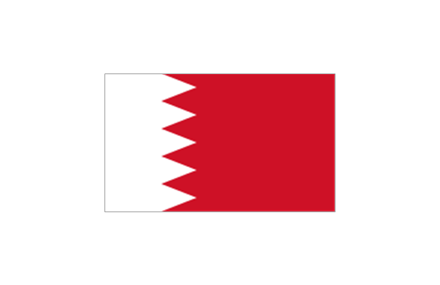
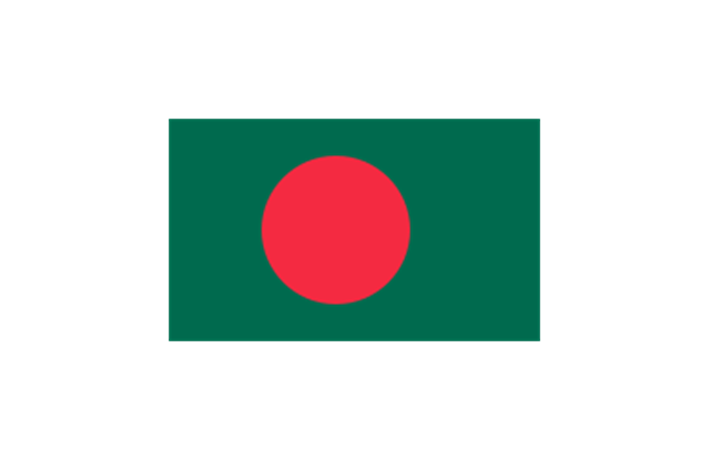
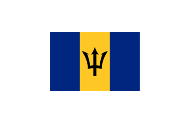
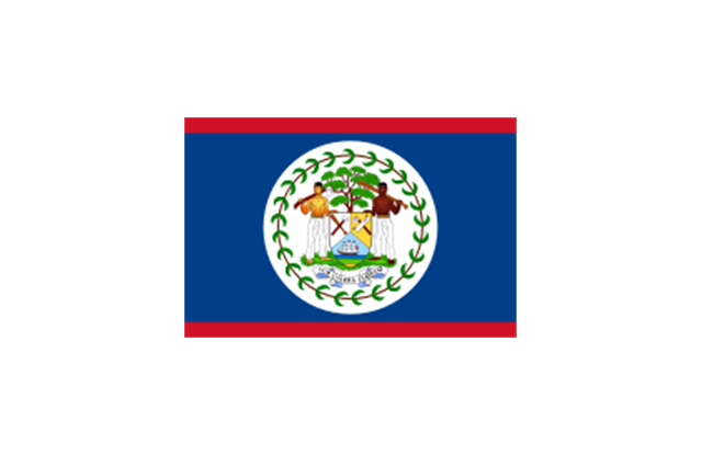
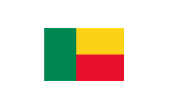
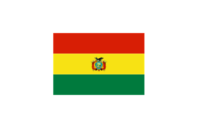
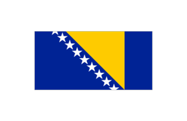
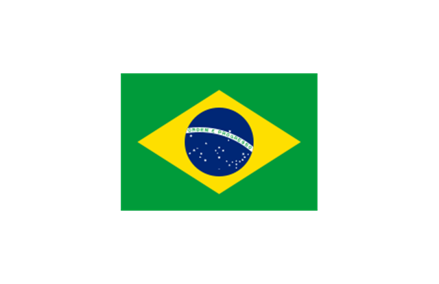
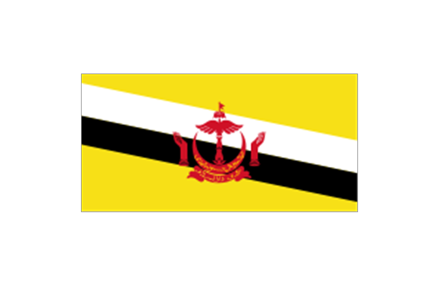
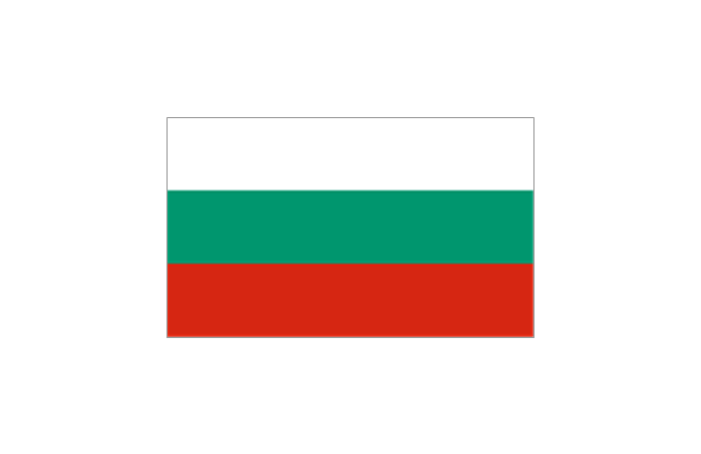
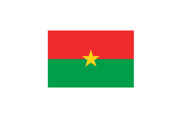
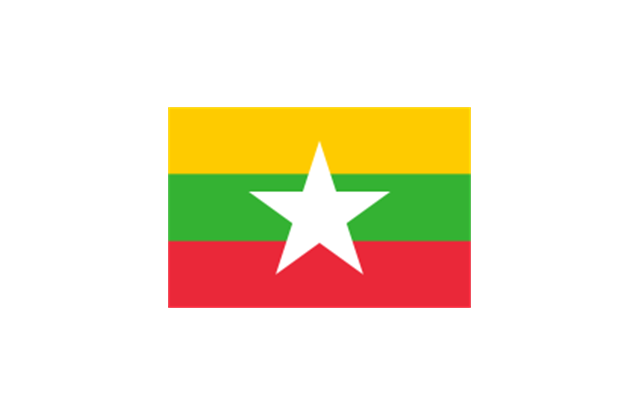
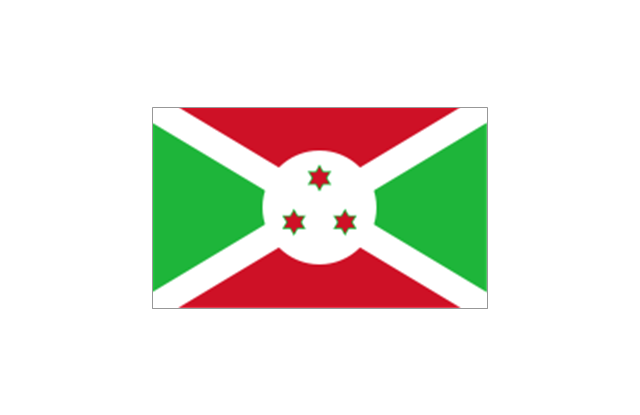
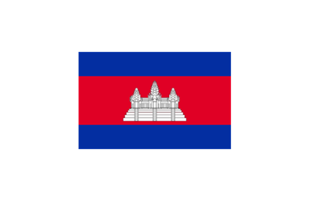
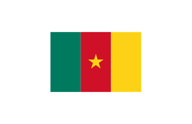
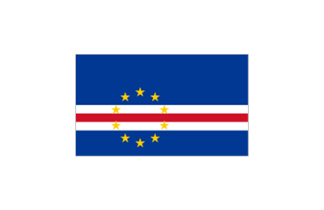
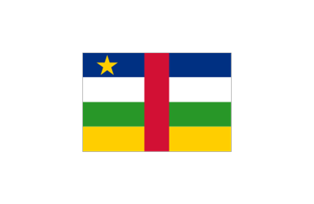
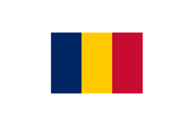
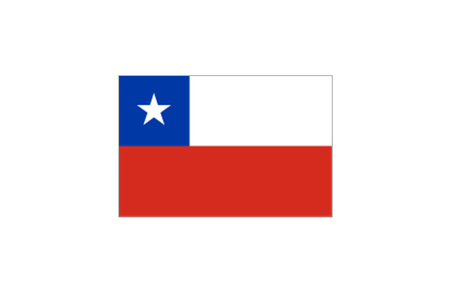
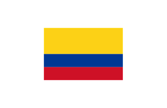
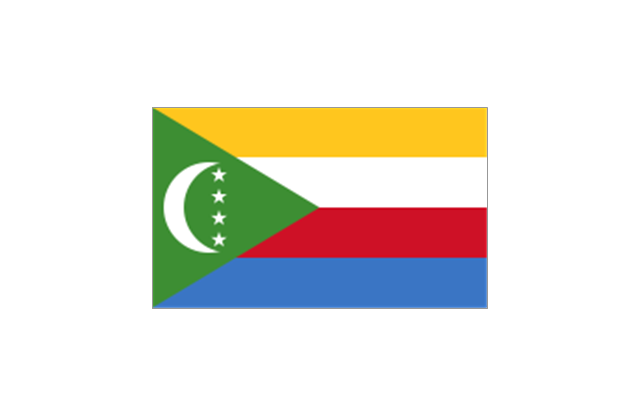
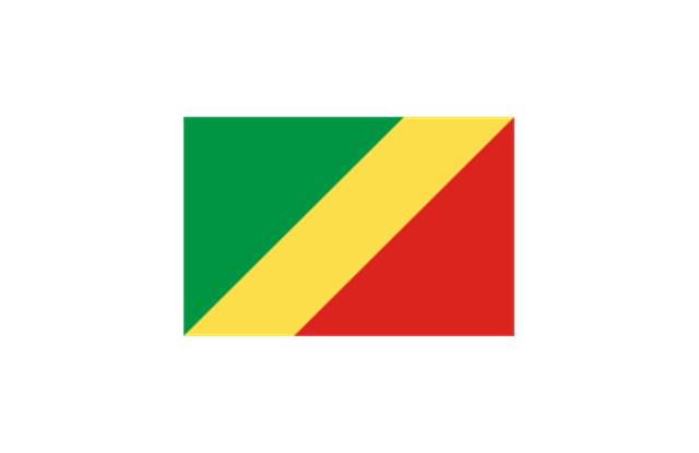
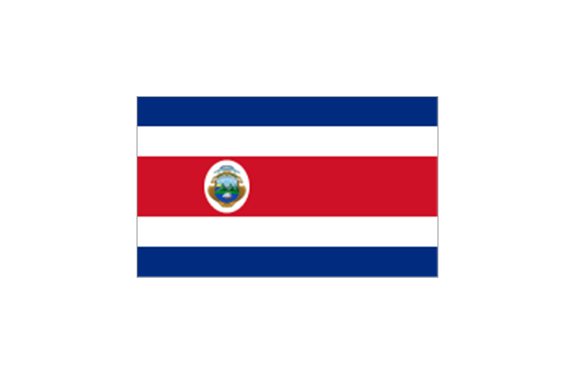
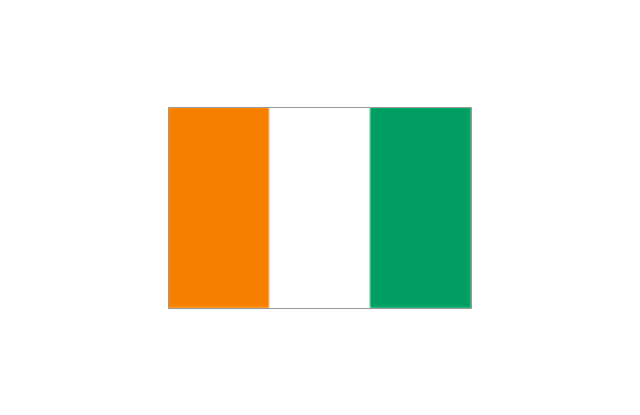
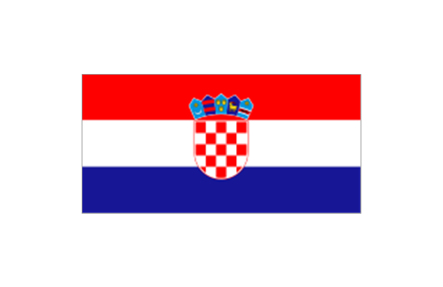
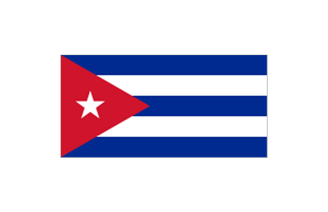
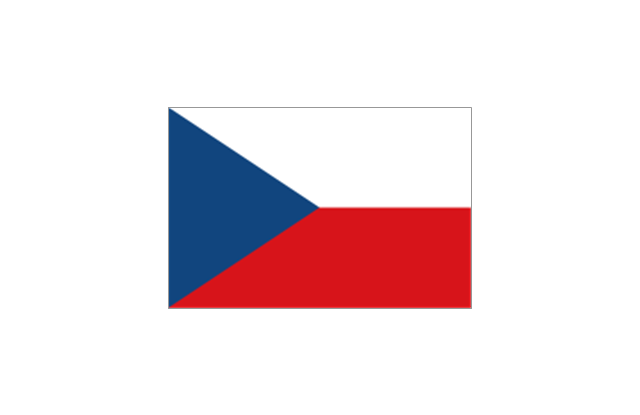
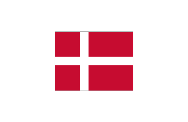
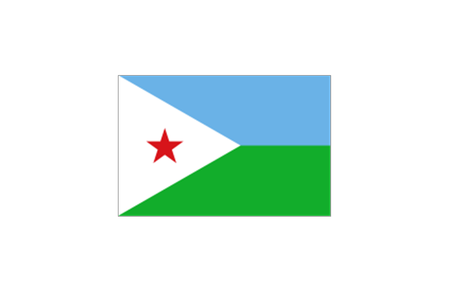
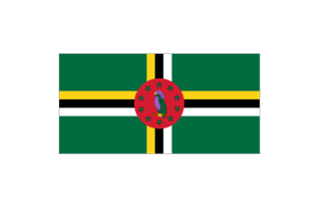
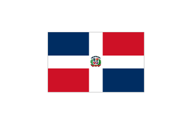
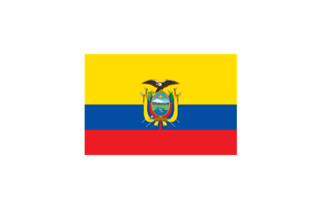
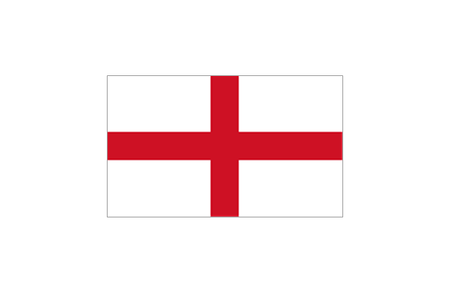
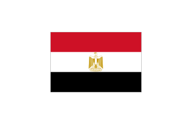
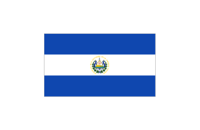
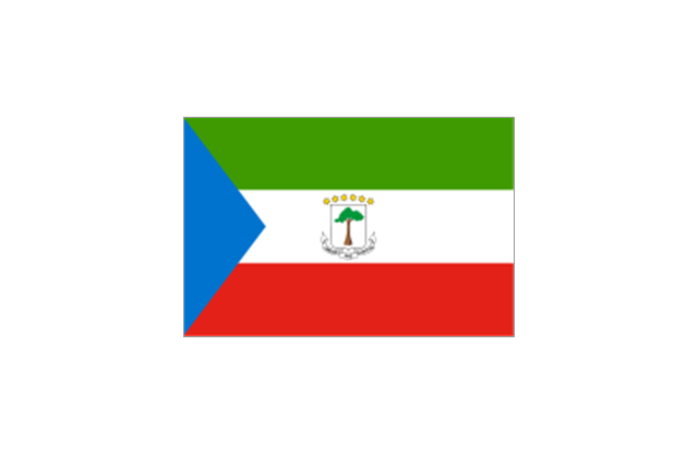
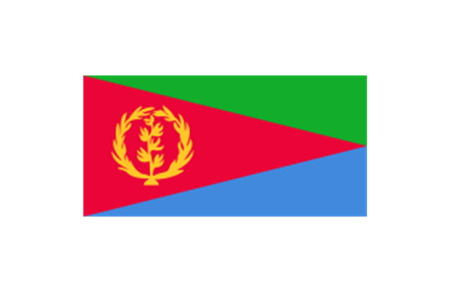
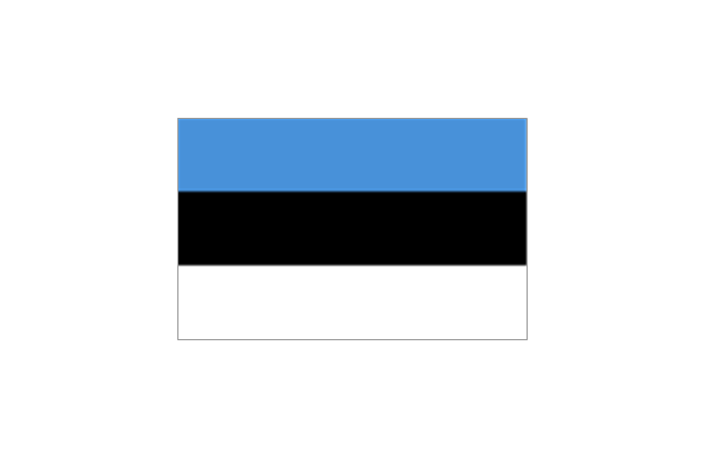
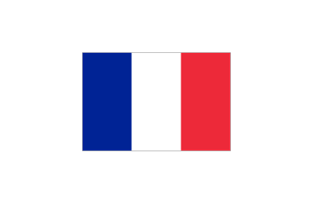
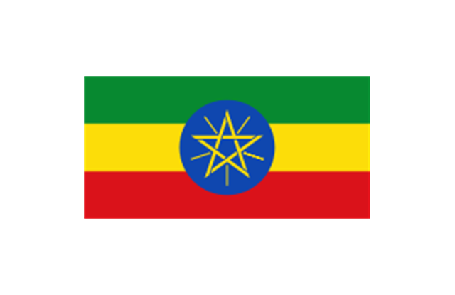
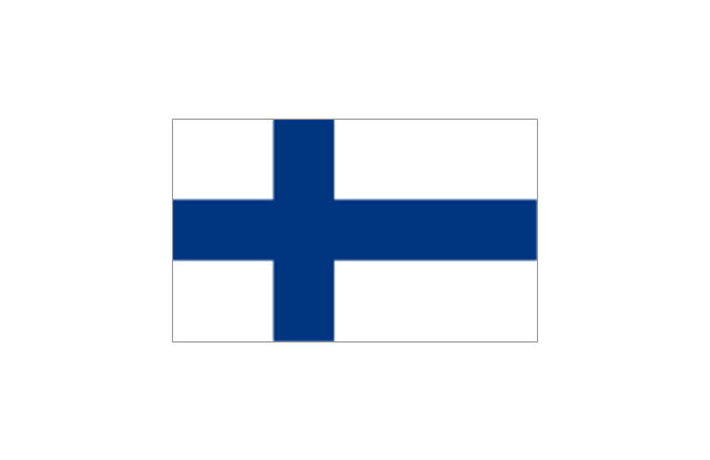
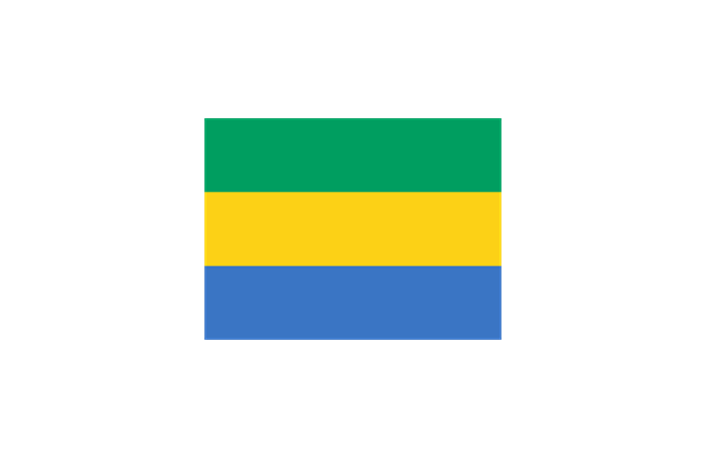
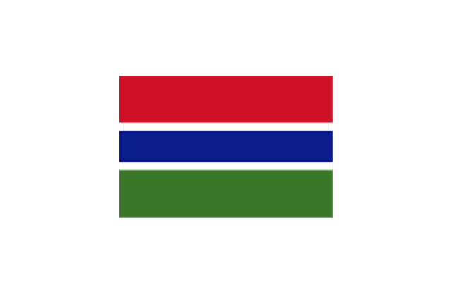
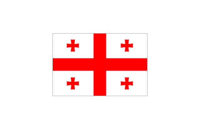
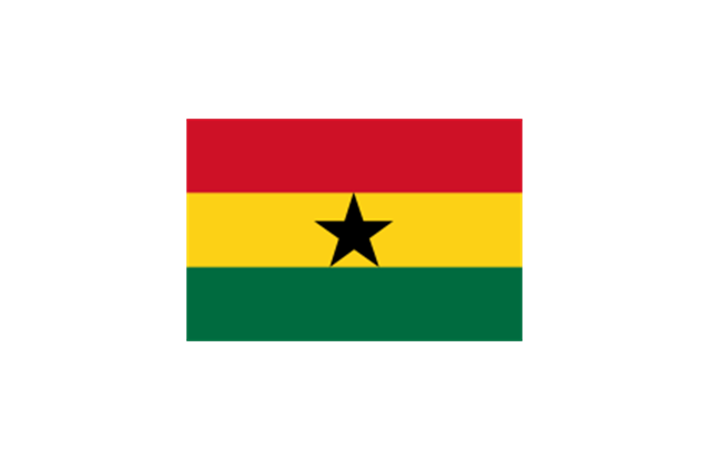
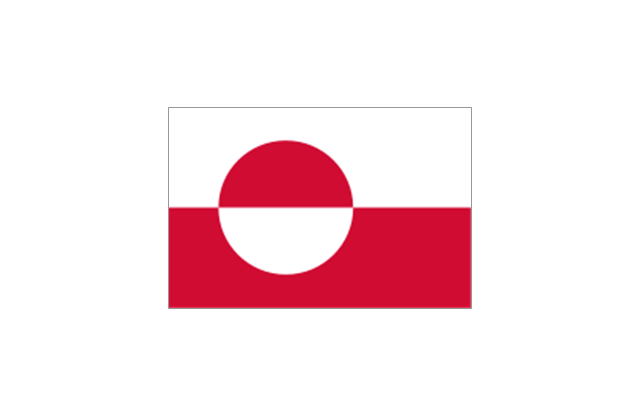
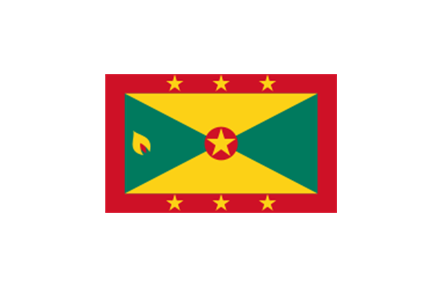
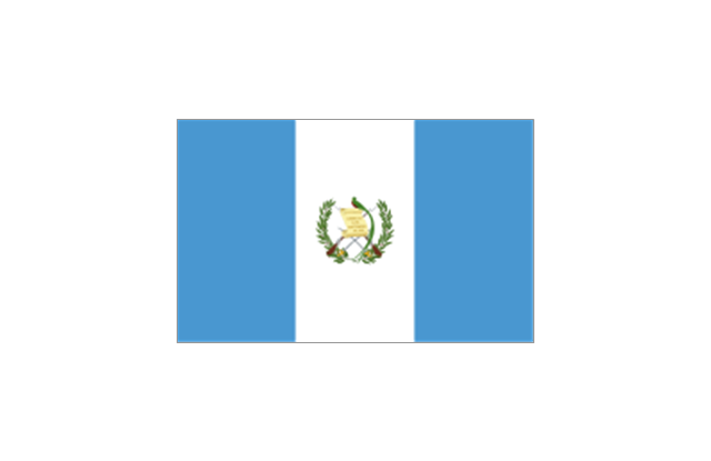
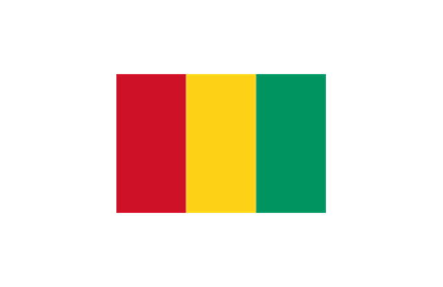
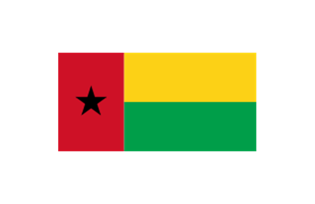
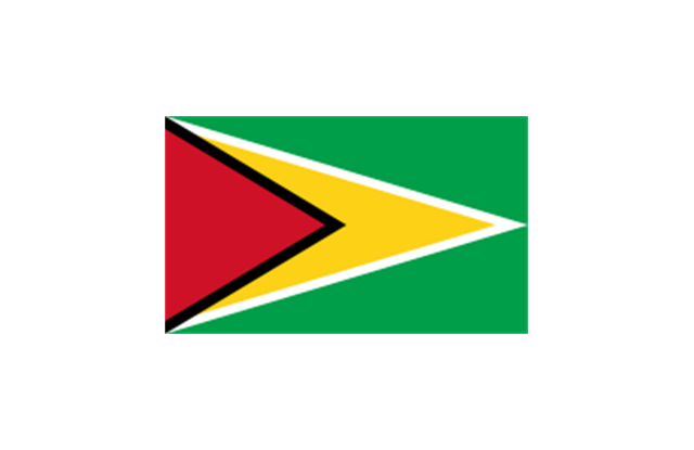
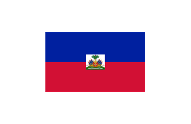
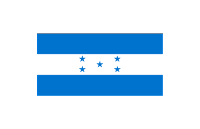
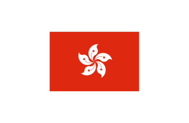
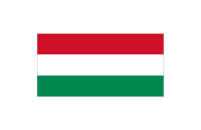
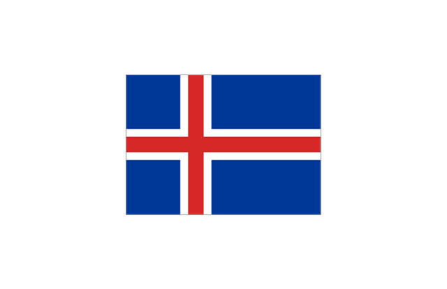
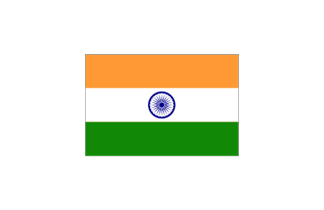
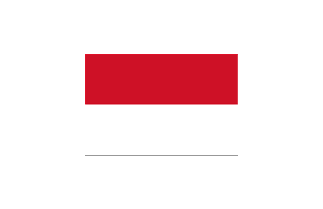
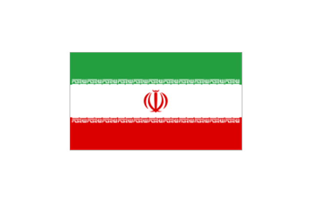
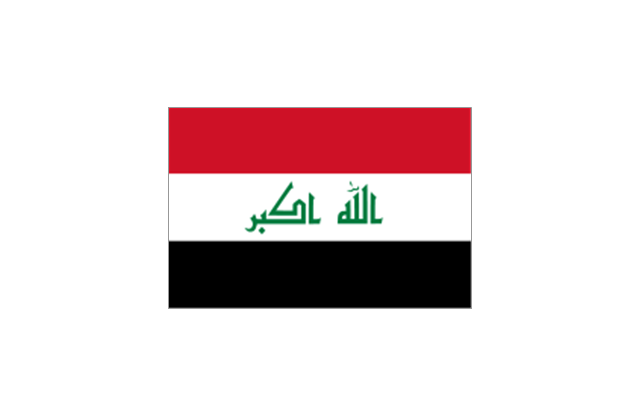
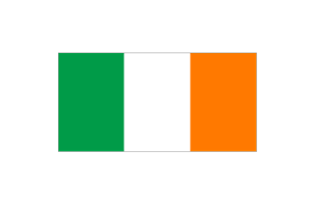
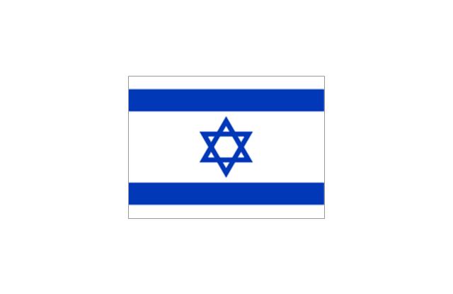
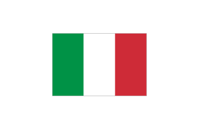
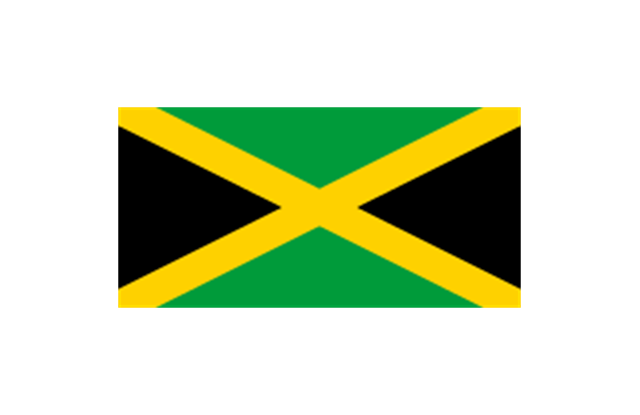
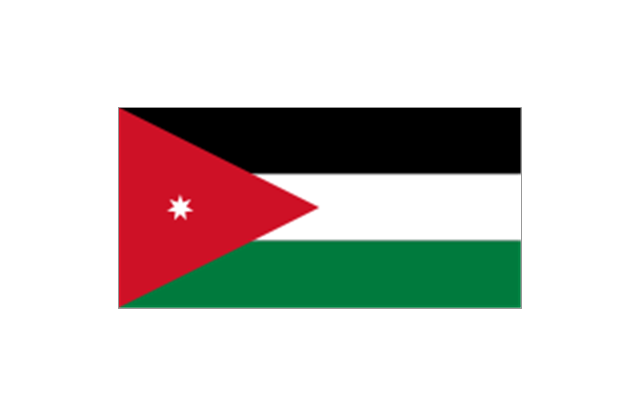
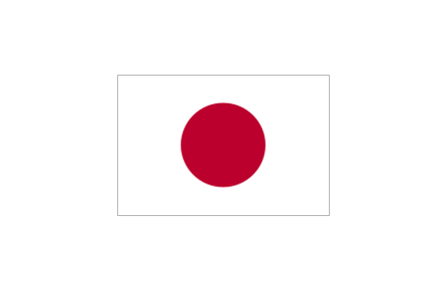
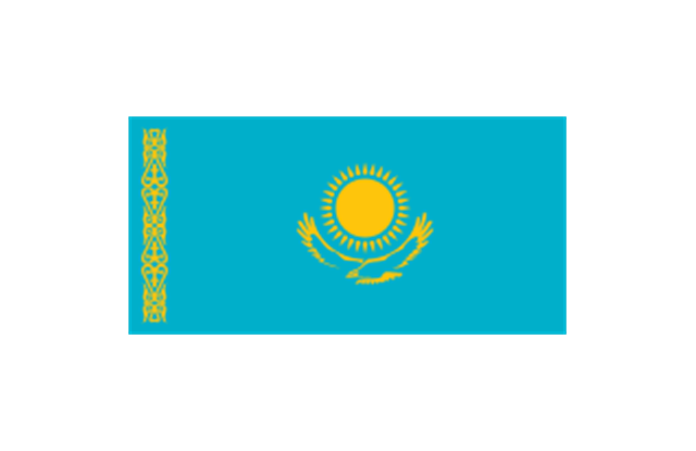
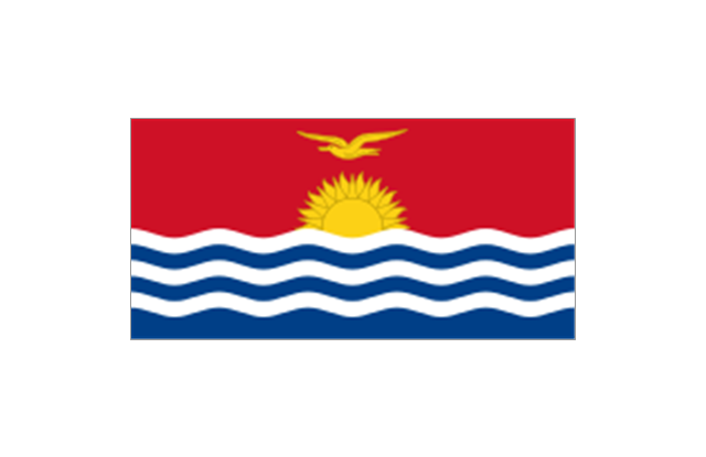
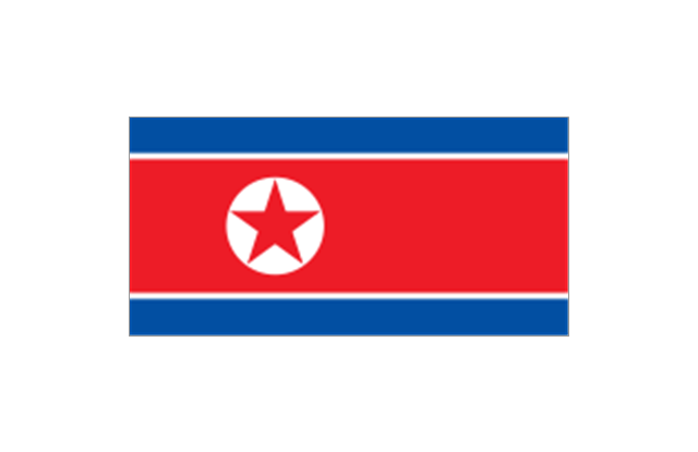
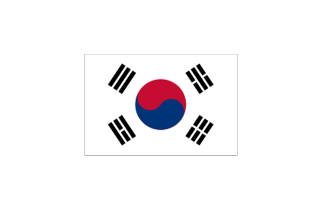
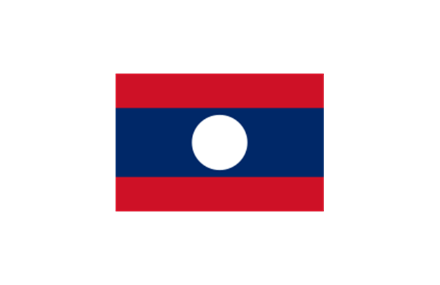
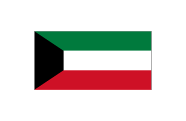
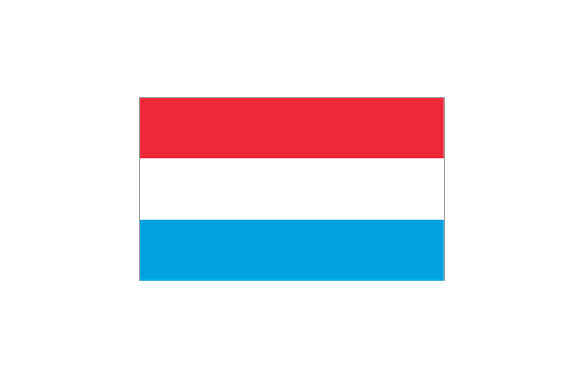
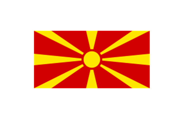
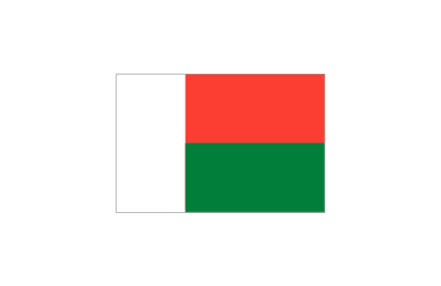
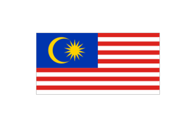
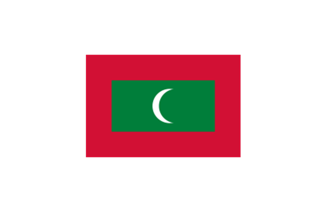
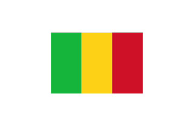
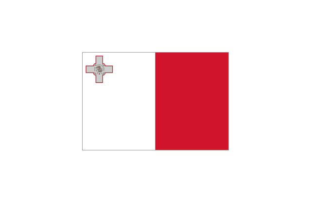
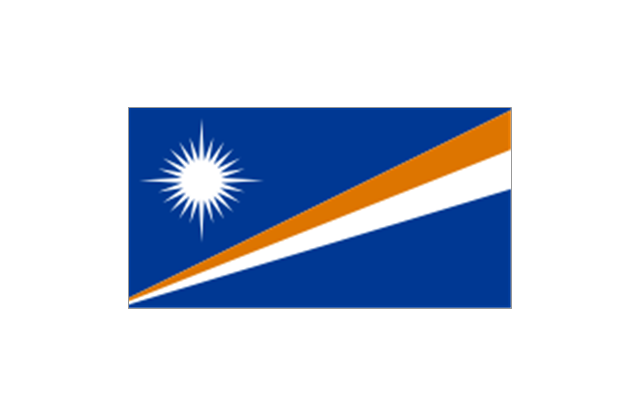
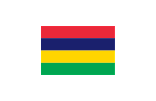
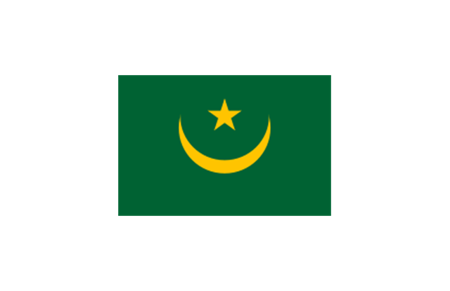
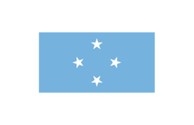
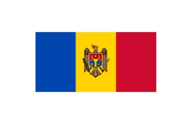
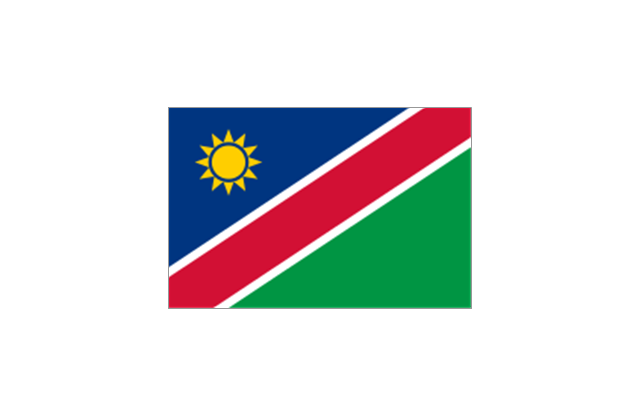
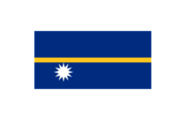
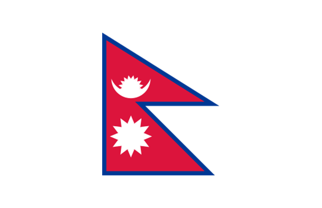
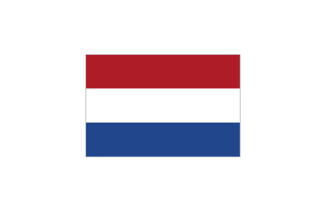
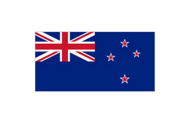
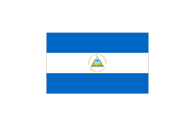
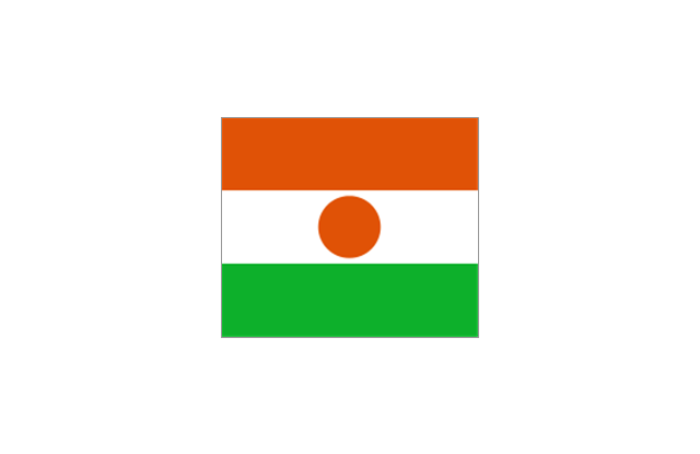
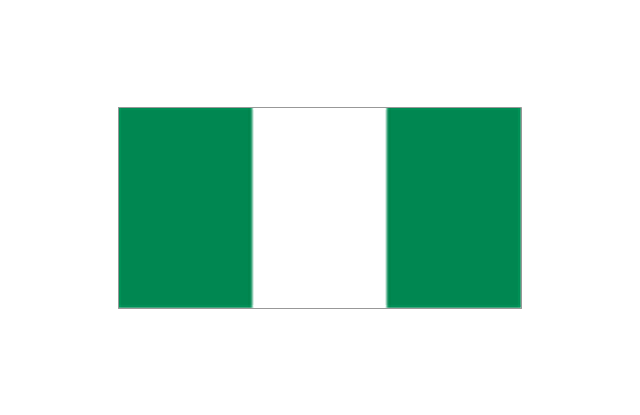
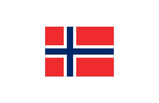
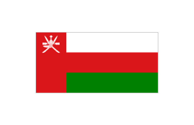
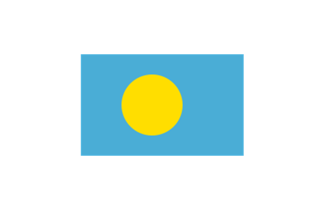
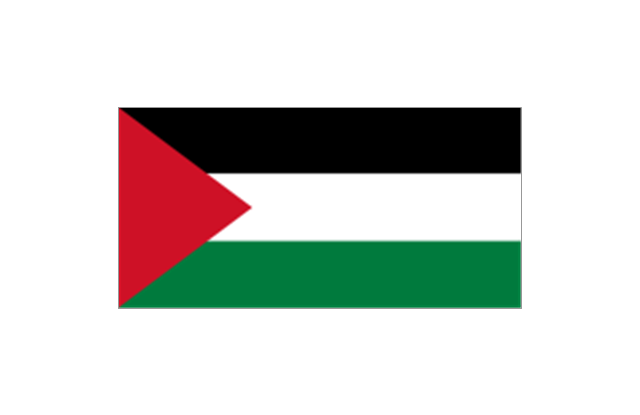
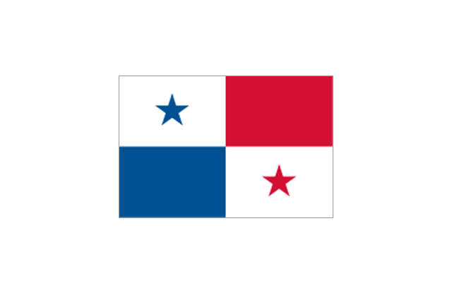
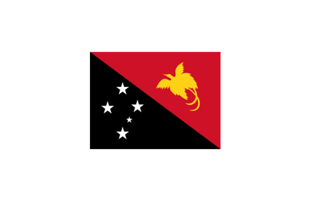
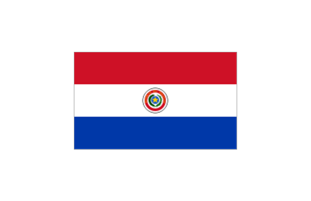
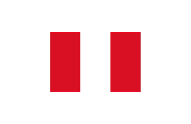
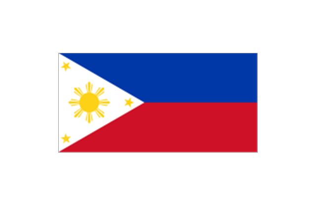
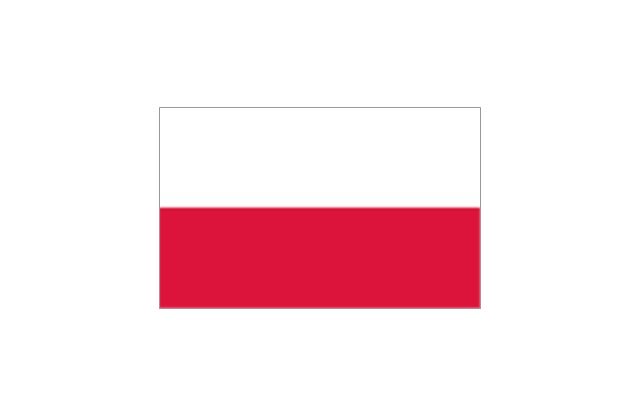
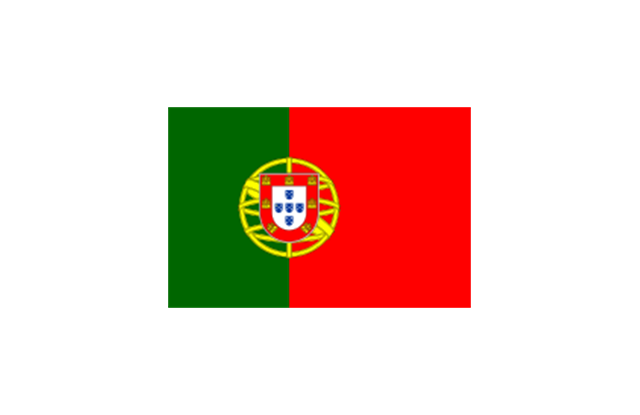
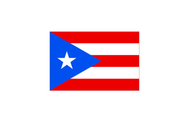
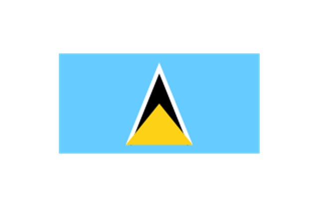
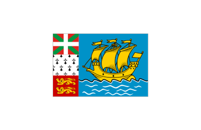
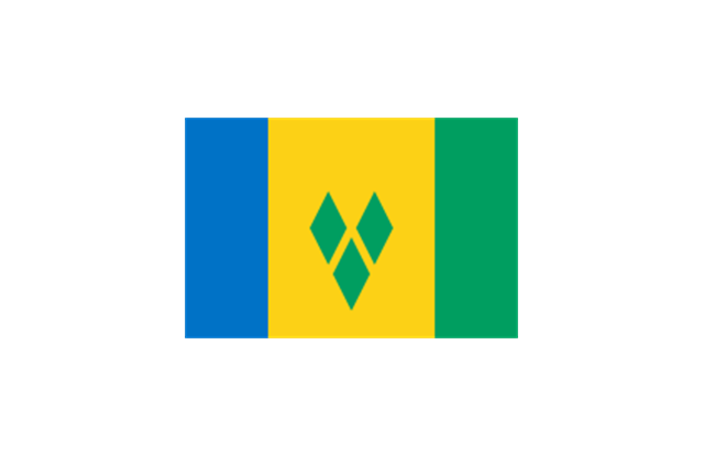
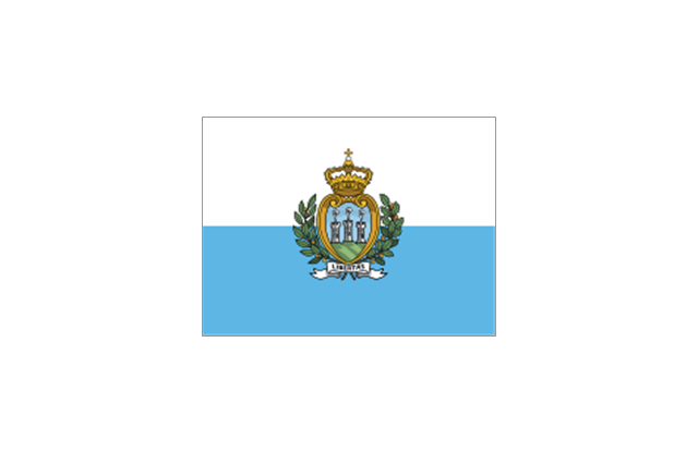
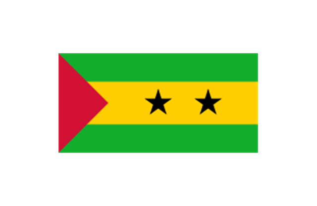
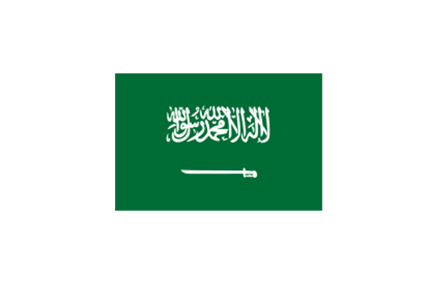
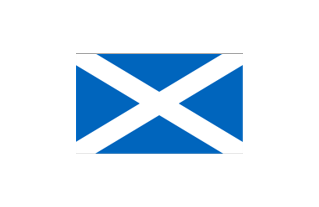
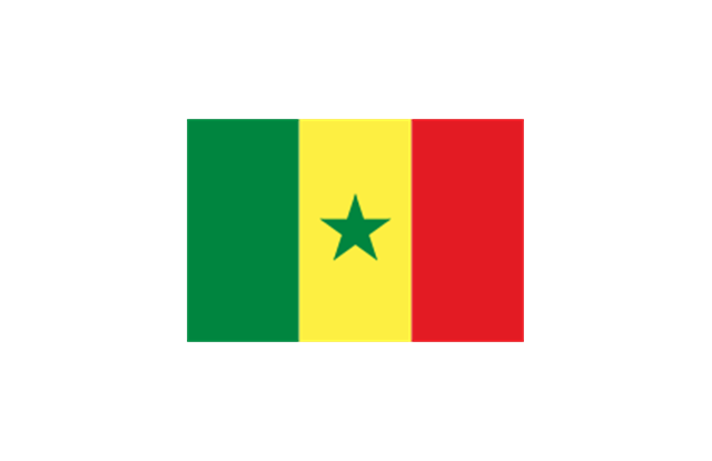
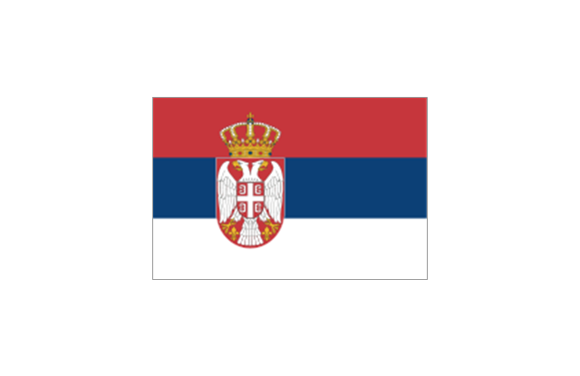
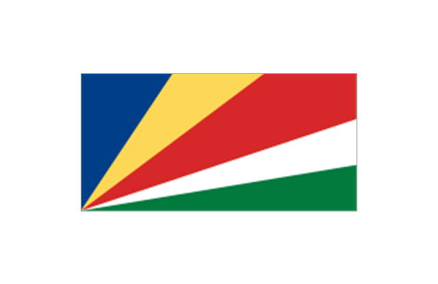
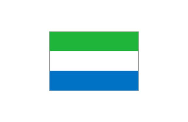
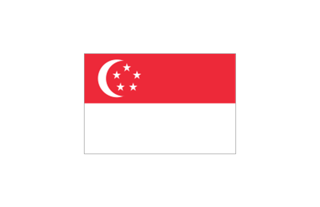
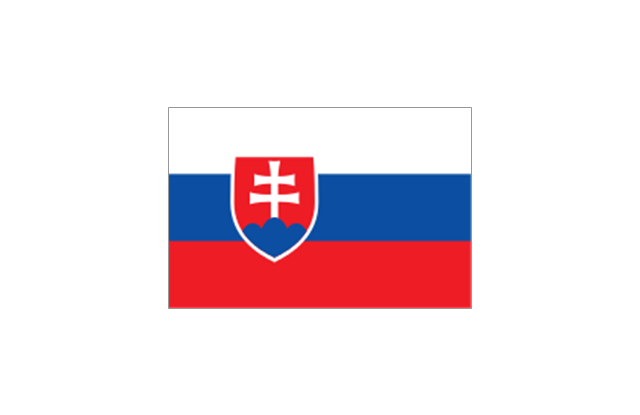
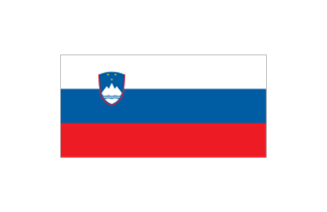
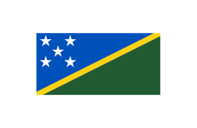
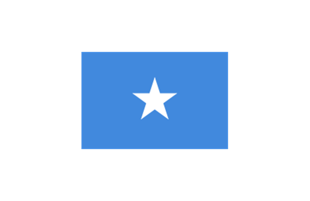
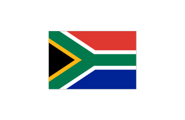
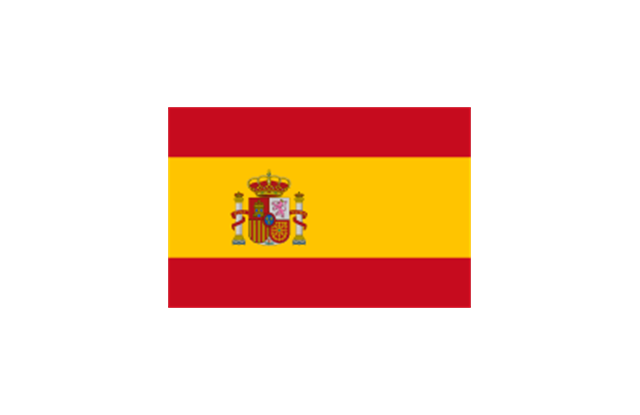
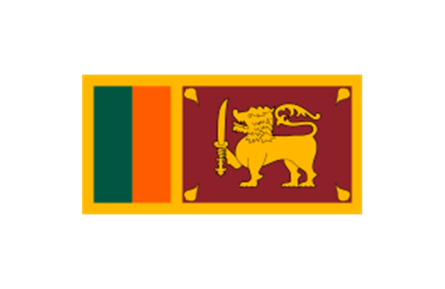
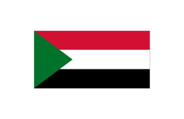
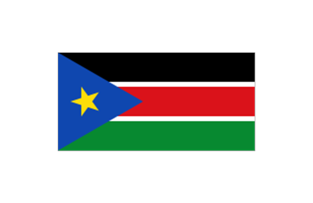
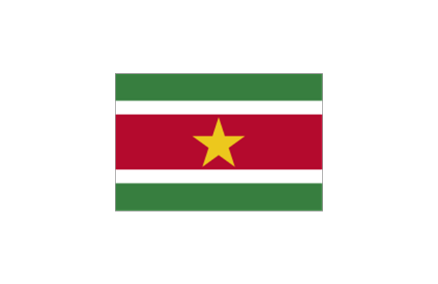
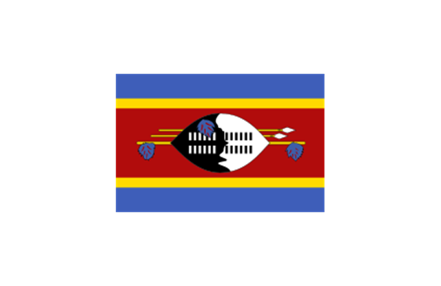
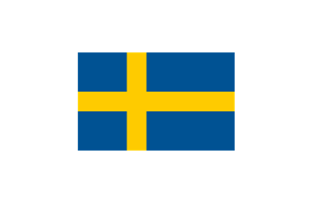
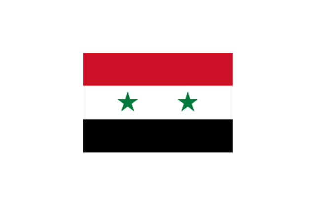
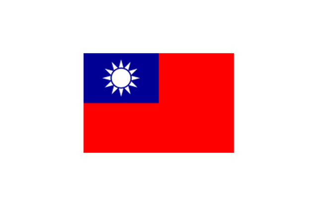
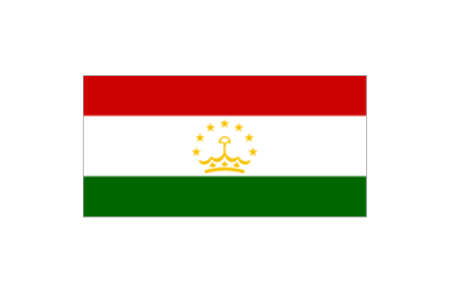
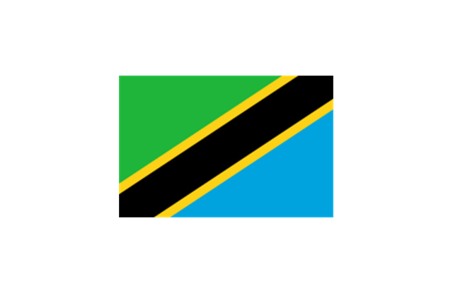
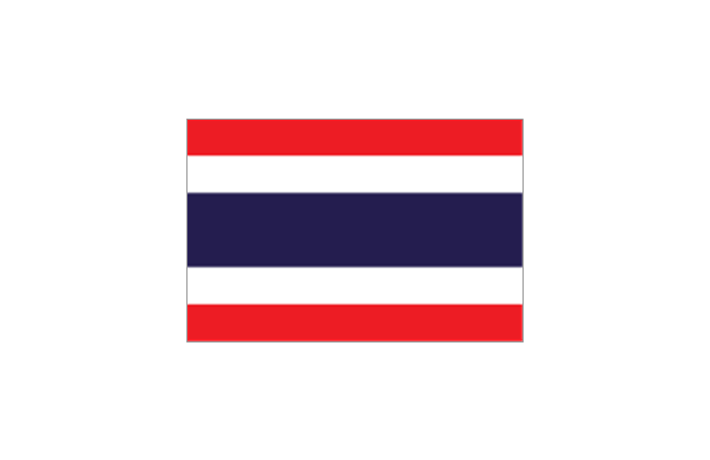
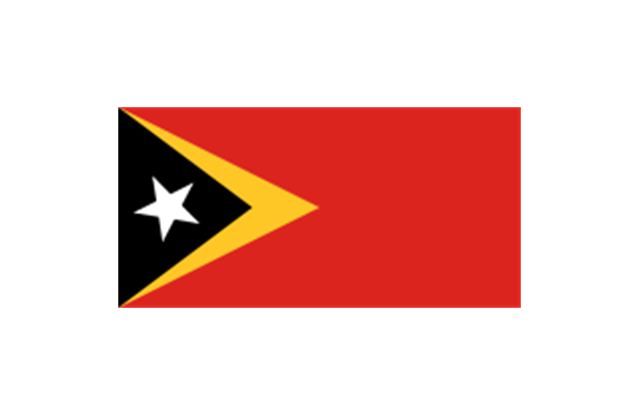
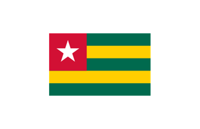
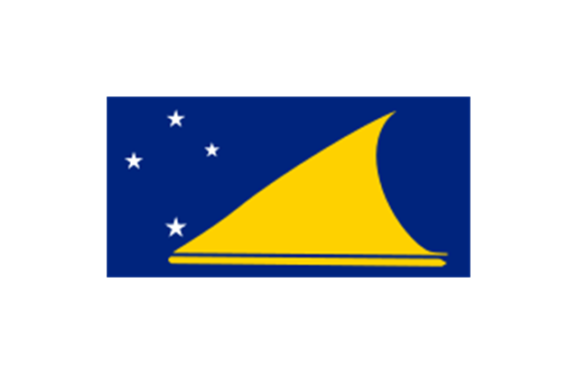
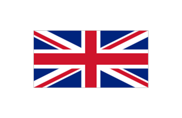
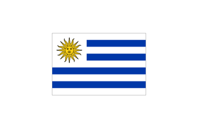
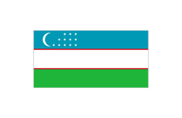
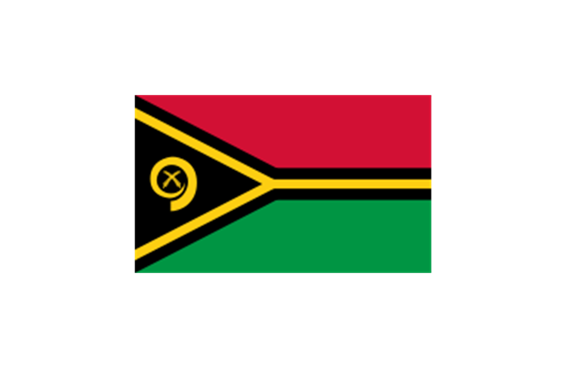
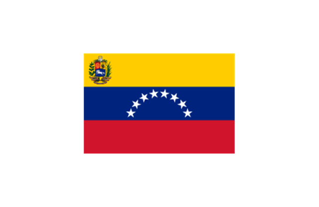
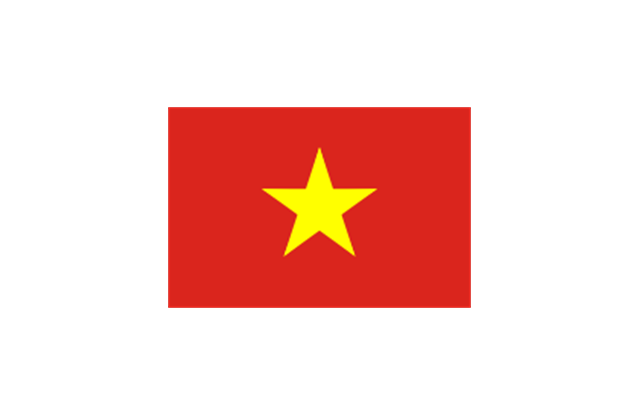
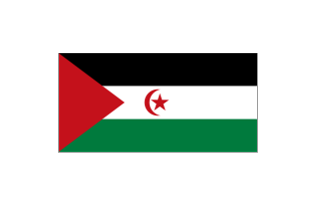
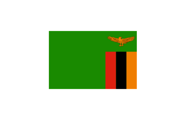
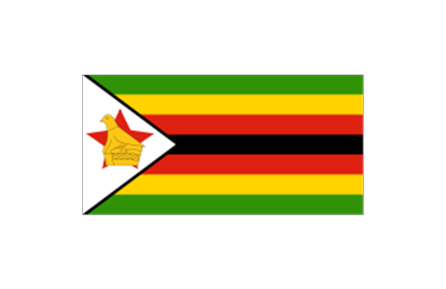
Peru, officially the Republic of Peru, is a country in western South America. The history of Peru goes back to the distant past and its divided into several main stages. Geography of Peru is also diverse - there is a desert, as well as the ocean coast, and of course the mountain ranges. The Continent Maps solution from Maps area of ConceptDraw Solution Park provides stencil library Peru, which is made up of well-designed vector shapes delivering easy experience in creating diagrams with ConceptDraw Pro software. All ConceptDraw PRO documents are vector graphic files and are available for reviewing, modifying, and converting to a variety of formats: image, HTML, PDF file, MS PowerPoint Presentation, Adobe Flash, MS Visio (.VDX, .VSDX).The stencils library "Flags" contains 204 clipart images of state flags.
"There are two separate meanings for the term state flag in vexillology - the flag of the government of a sovereign state, and the flag of an individual subnational state, such as a U.S. state, or a Russian oblast. ...
A state flag is a variant of a national flag (or occasionally a completely different design) specifically designated and restricted by law or custom (theoretically or actually) to use by a country's government or its agencies. For this reason they are sometimes referred to as government flags. In many countries the state flag and the civil flag (as flown by the general public) are identical, but in other countries, notably those in Latin America, central Europe, and Scandinavia, the state flag is a more complex version of the national flag, often featuring the national coat of arms or some other emblem as part of the design. Scandinavian countries also use swallowtailed state flags, to further differentiate them from civil flags.
In addition, some countries have state ensigns, separate flags for use by non-military government ships such as guard vessels. For example, government ships in the United Kingdom fly the blue ensign." [State flag. Wikipedia]
The clip art example "Flags - Stencils library" was created using the ConceptDraw PRO diagramming and vector drawing software extended with the Continent Maps solution from the Maps area of ConceptDraw Solution Park.
www.conceptdraw.com/ solution-park/ maps-continent
 Website Wireframe
The innovative Website Wireframe solution enhances the ConceptDraw PRO v10 functionality with newest wireframe tools, libraries with variety of predesigned icons, symbols, buttons, graphics, forms, boxes, and many other vector elements, templates and professionally designed samples, which make it the best wireframing software. Website Wireframe solution gives you significant advantages when designing and maintaining websites, creating skeletal and content-free depictions of website structure, making website prototypes and planning the content arrangement before committing to design, also speeds up the processes of sketching, producing and sharing wireframe examples of website style and interface design.
Geo Map - Asia
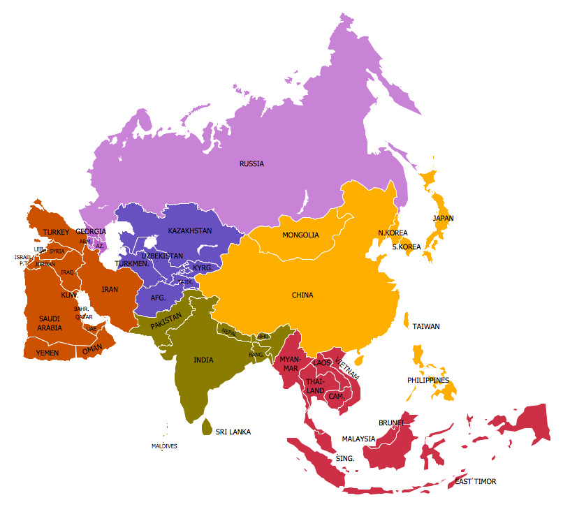
ConceptDraw is idea to draw the geological maps of Asia from the pre-designed vector geo map shapes. Use Geo Map Asia to draw thematic maps, geospatial infographics and vector illustrations for your business documents, presentations and websites.Geo Map - Asia - Kazakhstan
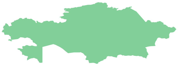
Kazakhstan, officially the Republic of Kazakhstan, is a contiguous transcontinental country in Central Asia, with its smaller part west of the Ural River in Eastern Europe. The vector stencils library Kazakhstan contains contours for ConceptDraw PRO diagramming and vector drawing software. This library is contained in the Continent Maps solution from Maps area of ConceptDraw Solution Park.- Languages of South America - Thematic map | Benefit Corporation ...
- Flags Svg
- Eu 28 Candidate Countries Map Svg
- Australia states time zones - Thematic map | Design elements ...
- Australia Map Example
- Geo Map - Australia
- Phil Map Svg
- Australia states time zones - Thematic map
- European Union Map Svg
- Languages of South America - Thematic map | Visualization Spatial ...
- Languages of South America - Thematic map | Design elements ...
- Design elements - Title blocks | Design elements - Management title ...
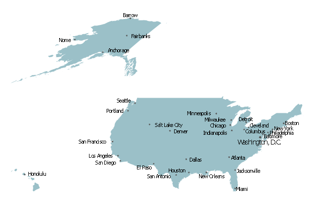
- Geo Map - United States of America Map | Benefit Corporation ...
- Geo Map - United States of America Map | Map of USA with state ...
- Design elements - Android UI | UML Class Diagram. Design ...
- Continent Maps | Geo Map - United States of America Map | Map of ...
- Asian Map Drawing Wiki How
- Geo Map - United States of America Map
- Visualization Spatial Data Using Thematic Maps Combined with ...
- Australia Map | Continents Map | Map Software | South Australia ...


-australia-and-new-zealand---vector-stencils-library.png--diagram-flowchart-example.png)
