ConceptDraw Arrows10 Technology
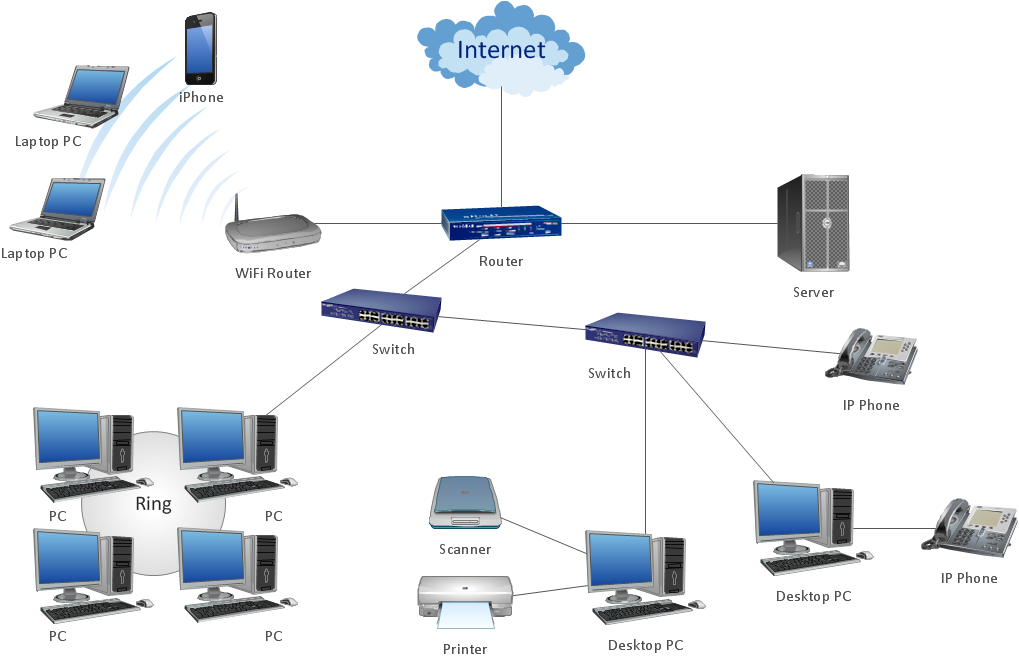
How should diagramming software work? Is it possible to develop a diagram as quickly as the ideas come to you? The innovative ConceptDraw Smart Connectors Technology - This is more than enough versatility to draw any type of diagram with any degree of complexity.Connection points are necessary for diagramming network, flowchart and organizational charts. In ConceptDraw you connect shapes by attaching, or snapping and gluing, connectors to shape connection points.
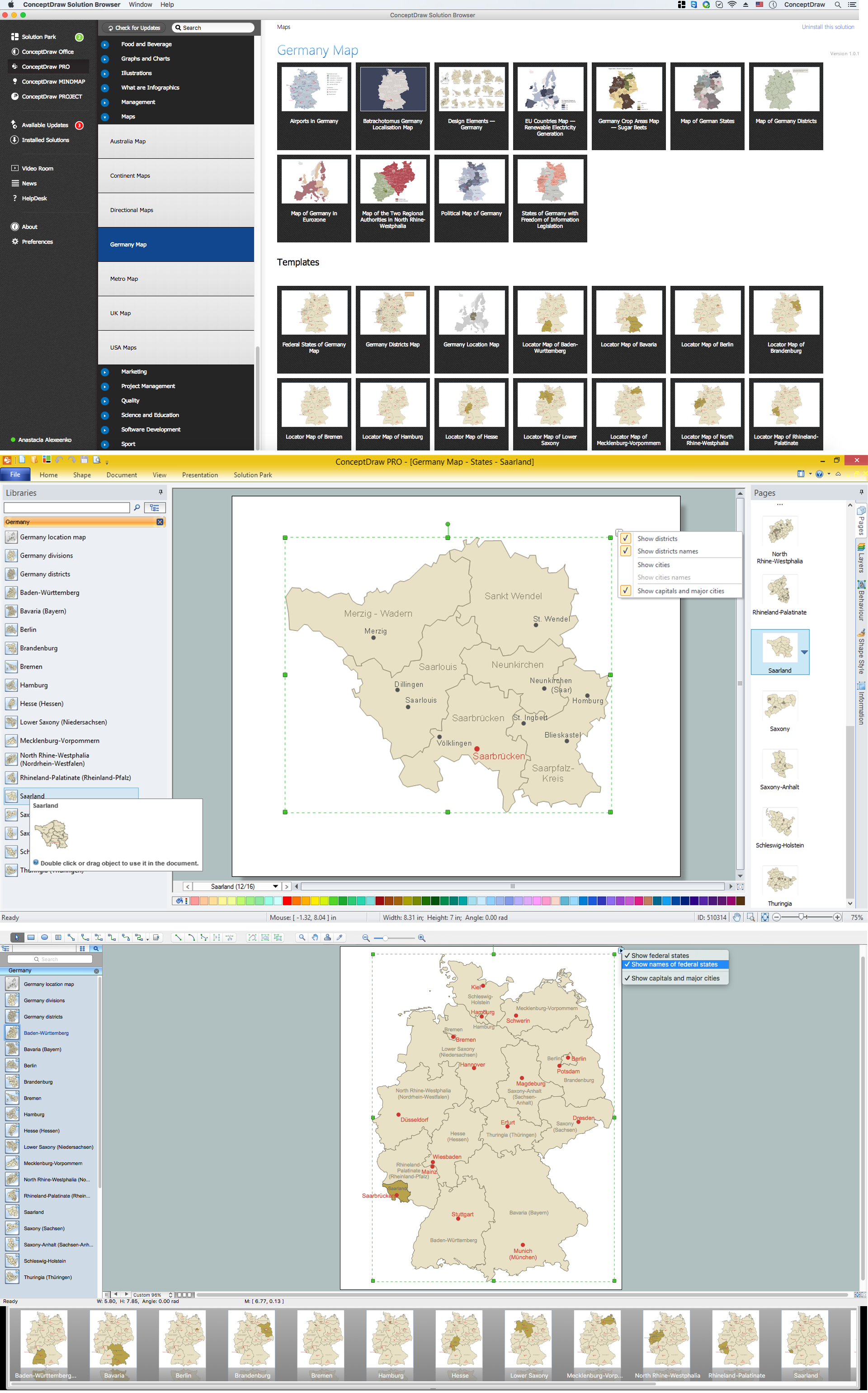
Map of Germany — Saarland State
The Saarland is one of the sixteen federal states (or Bundesländer) of Germany. The capital city is Saarbrücken.Despite the fact that the maps surround us everywhere in our life, usually the process of their drawing is sufficienly complex and labor-intensive. But now, thanks to the ConceptDraw PRO diagramming and vector drawing software extended with Germany Map Solution from the Maps Area of ConceptDraw Solution Park, we have the possibility to make easier this process. Design fast and easy your own pictorial maps of Germany, map of Germany with cities, and thematic Germany maps in ConceptDraw PRO!
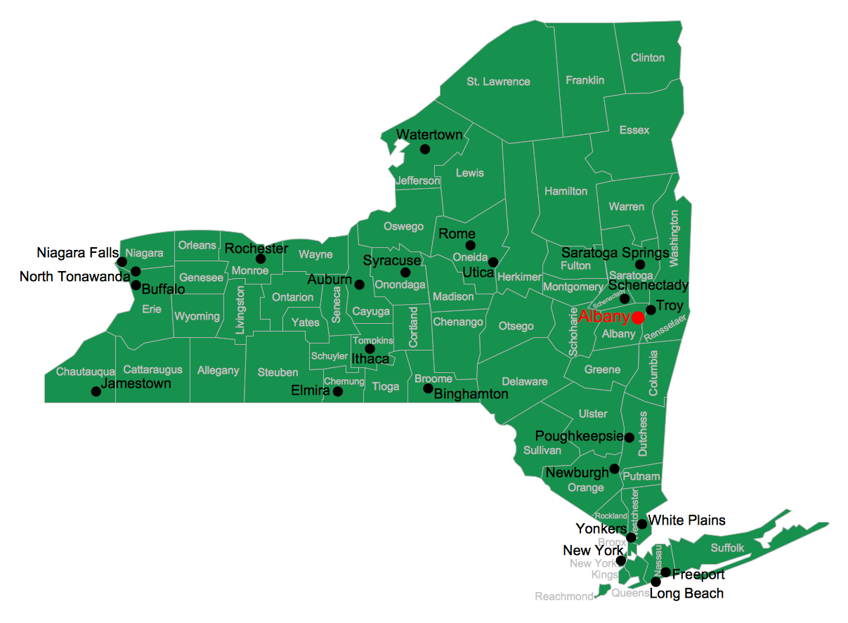
Map of USA
It is impossible to imagine modern life and science without maps, they surround us anywhere, they are used in geography, history, politics, economics, and many other fields of science. ConceptDraw PRO diagramming and vector drawing software offers the USA Maps Solution from the Maps Area of ConceptDraw Solution Park with its collection of samples and libraries for easy drawing the Map of USA.Map of England
England is a country that is part of the United Kingdom. It shares land borders with Scotland to the north and Wales to the west.Design of various maps, including the Map of England is usually complex and labor-intensive process. But now we have a possibility to create UK maps fast and easy thanks to the ConceptDraw PRO diagramming and vector drawing software enhanced with Map of UK Solution from the Maps Area of ConceptDraw Solution Park.
USA Map
Usually designing of maps, including the USA Map is a quite complex, long and labour-intensive process. But now we have an excellent possibility to make it easier with ConceptDraw PRO diagramming and vector drawing software extended with powerful USA Maps Solution from the Maps Area of ConceptDraw Solution Park.Geo Map - Europe - Russia
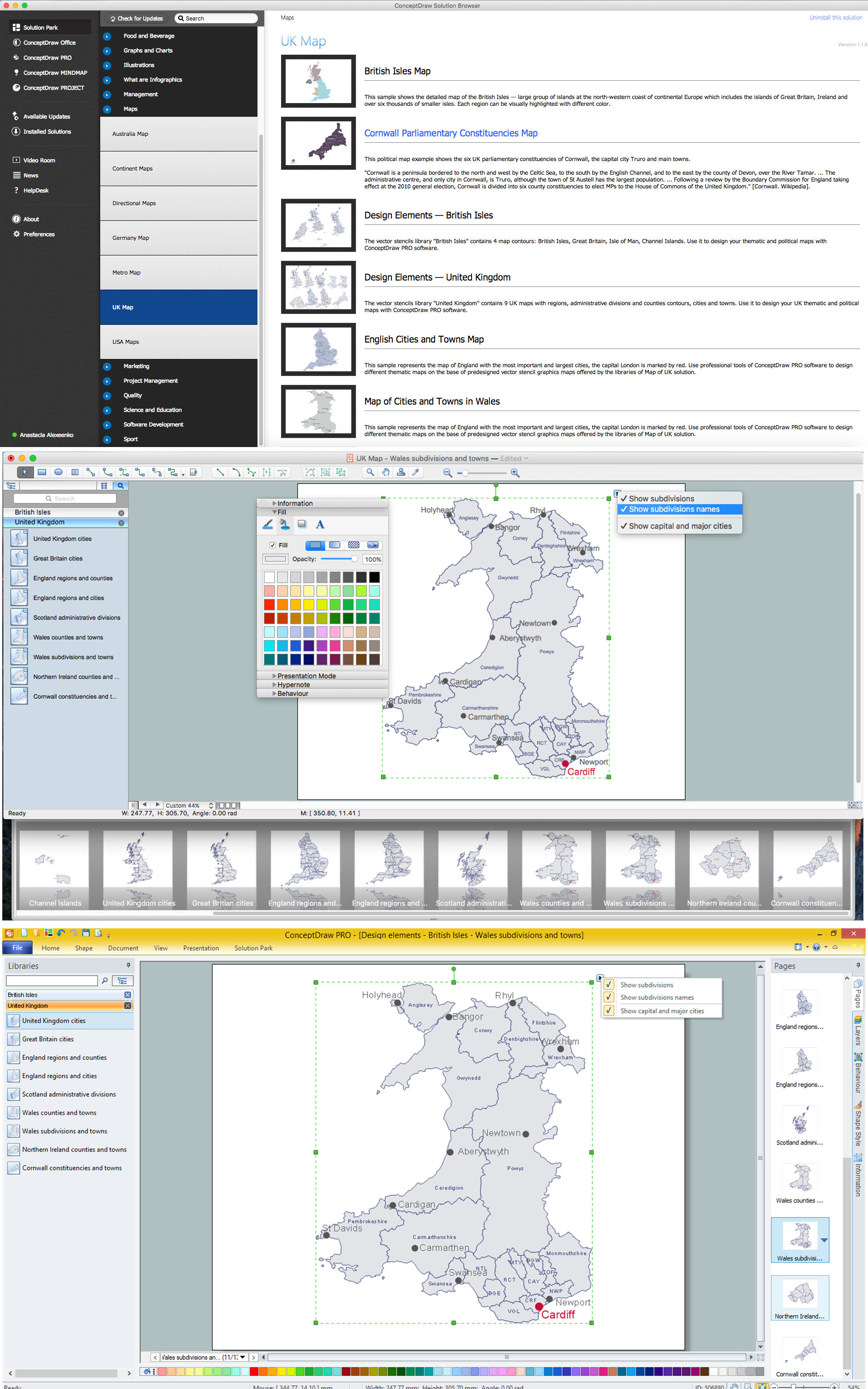
The vector stencils library Russia contains contours for ConceptDraw PRO diagramming and vector drawing software. This library is contained in the Continent Maps solution from Maps area of ConceptDraw Solution Park.Map of UK — Wales Subdivisions and Towns
Wales is a country that is part of the United Kingdom and the island of Great Britain, bordered by England to its east, the Irish Sea to its north and west, and the Bristol Channel to its south.How to design the Map of UK fast and easy? It is incredibly convenient to use special software. ConceptDraw PRO diagramming and vector drawing software offers the Map of UK Solution from the Maps Area of ConceptDraw Solution Park specially developed to make easier drawing the maps of UK counties, various UK related thematic maps and cartograms on their base.
- Interior Design Site Plan - Design Elements | Trees and plants ...
- Interior Design Site Plan - Design Elements | Trees and plants ...
- Interior Design Site Plan - Design Elements | Trees and plants ...
- Interior Design Site Plan - Design Elements | Trees and plants ...
- Trees and plants - Vector stencils library | Interior Design Site Plan ...
- Trees and plants - Vector stencils library | Interior Design Site Plan ...
- Interior Design Site Plan - Design Elements | Trees and plants ...
- Design elements - Trees and plants | Interior Design Site Plan ...
- Interior Design Site Plan - Design Elements | Design elements ...
- Design elements - Trees and plants | How To use Landscape ...
- Interior Design Site Plan - Design Elements | How To use ...
- Building Drawing Design Element Site Plan | Landscape ...
- Interior Design Site Plan - Design Elements | Design elements ...
- Design elements - Trees and plants | Interior Design Site Plan ...
- Supermarket parking - Site plan | Site Plans | Landscape Drawing ...
- Design elements - Trees and plants | Interior Design Site Plan ...
- Interior Design Site Plan - Design Elements | Landscape ...
- Bubble diagrams in Landscape Design with ConceptDraw PRO ...
- Design elements - Trees and plants | How To use Appliances ...
- Interior Design Site Plan - Design Elements | How To use ...


