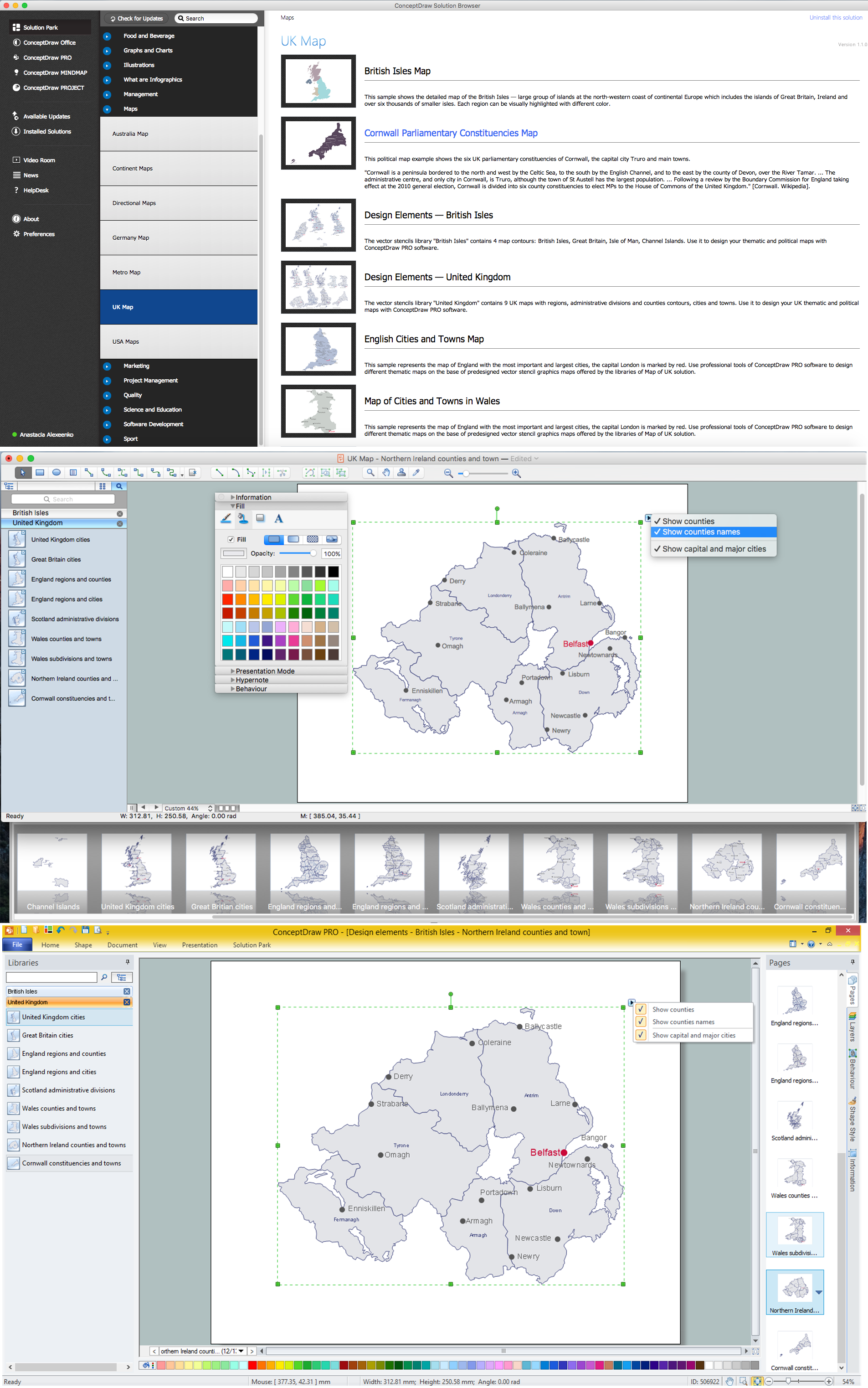
Map of UK — Northern Ireland
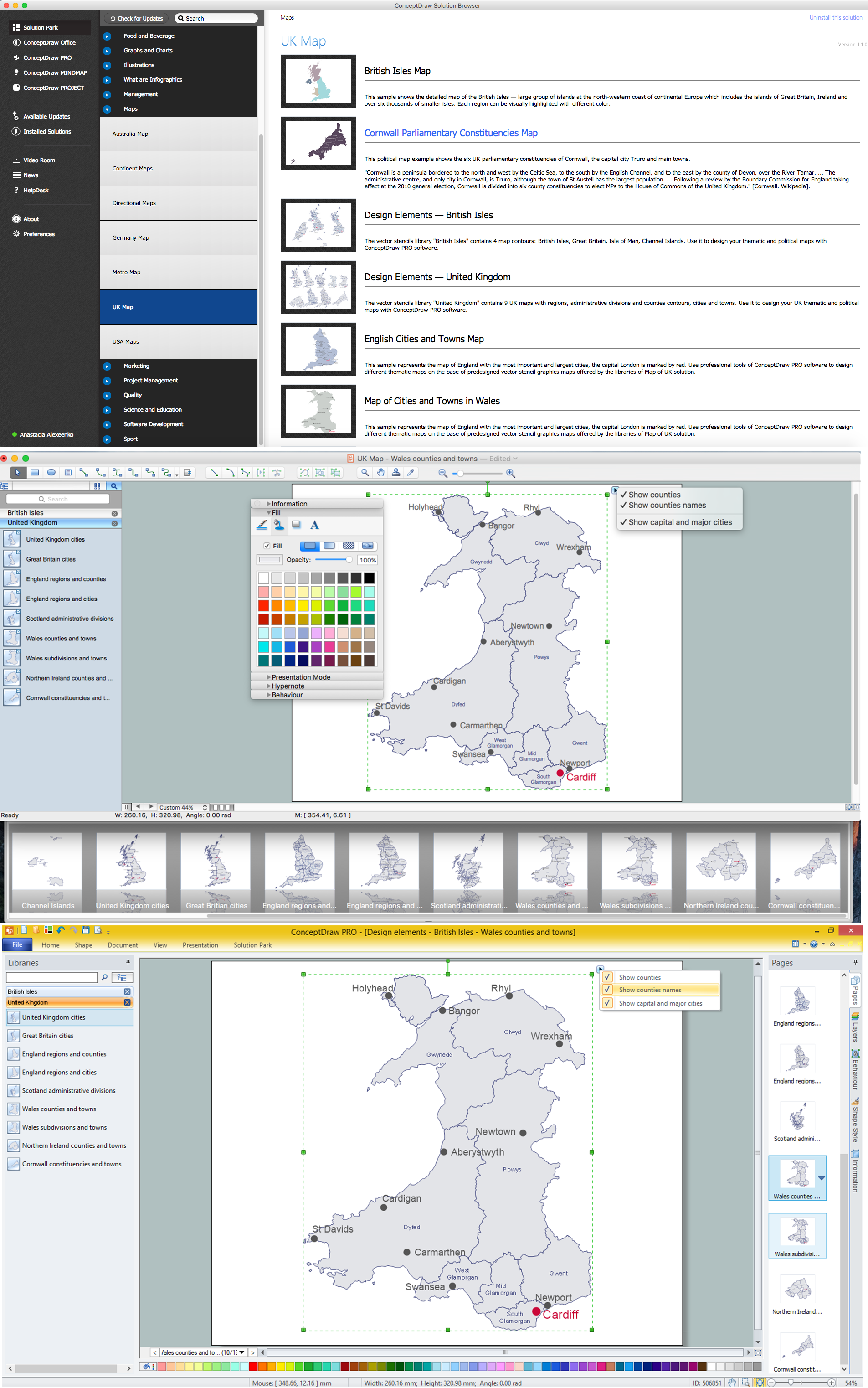
Northern Ireland is a constituent unit of the United Kingdom of Great Britain and Northern Ireland in the northeast of the island of Ireland. It is variously described as a country, province, region, or "part" of the United Kingdom, amongst other terms. How to design the Map of UK fast and easy? It is incredibly convenient to use special software. ConceptDraw PRO diagramming and vector drawing software offers the Map of UK Solution from the Maps Area of ConceptDraw Solution Park specially developed to make easier drawing the maps of UK counties, various UK related thematic maps and cartograms on their base.Map of UK — Wales Counties and Towns
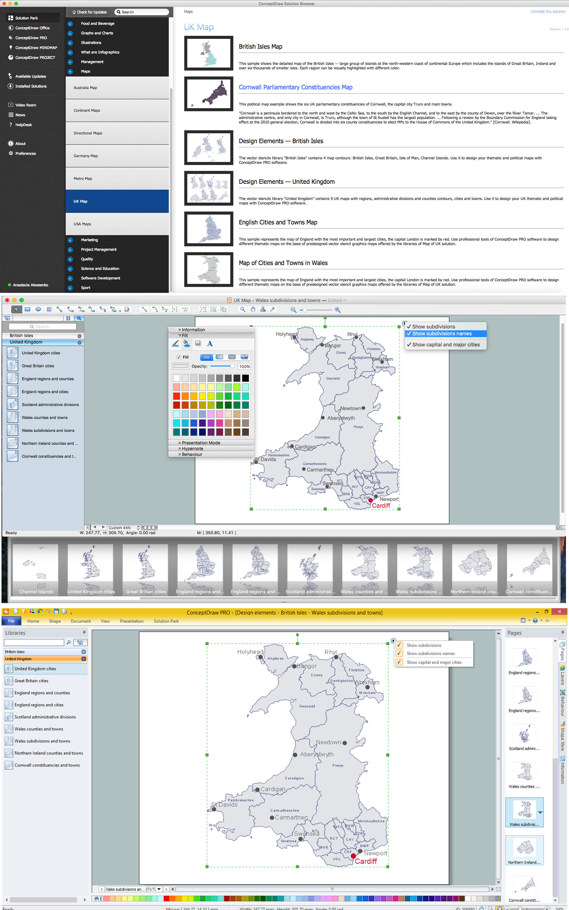
Wales is a country that is part of the United Kingdom and the island of Great Britain, bordered by England to its east, the Irish Sea to its north and west, and the Bristol Channel to its south. How to design the Map of UK fast and easy? It is incredibly convenient to use special software. ConceptDraw PRO diagramming and vector drawing software offers the Map of UK Solution from the Maps Area of ConceptDraw Solution Park specially developed to make easier drawing the maps of UK counties, various UK related thematic maps and cartograms on their base.Map of UK
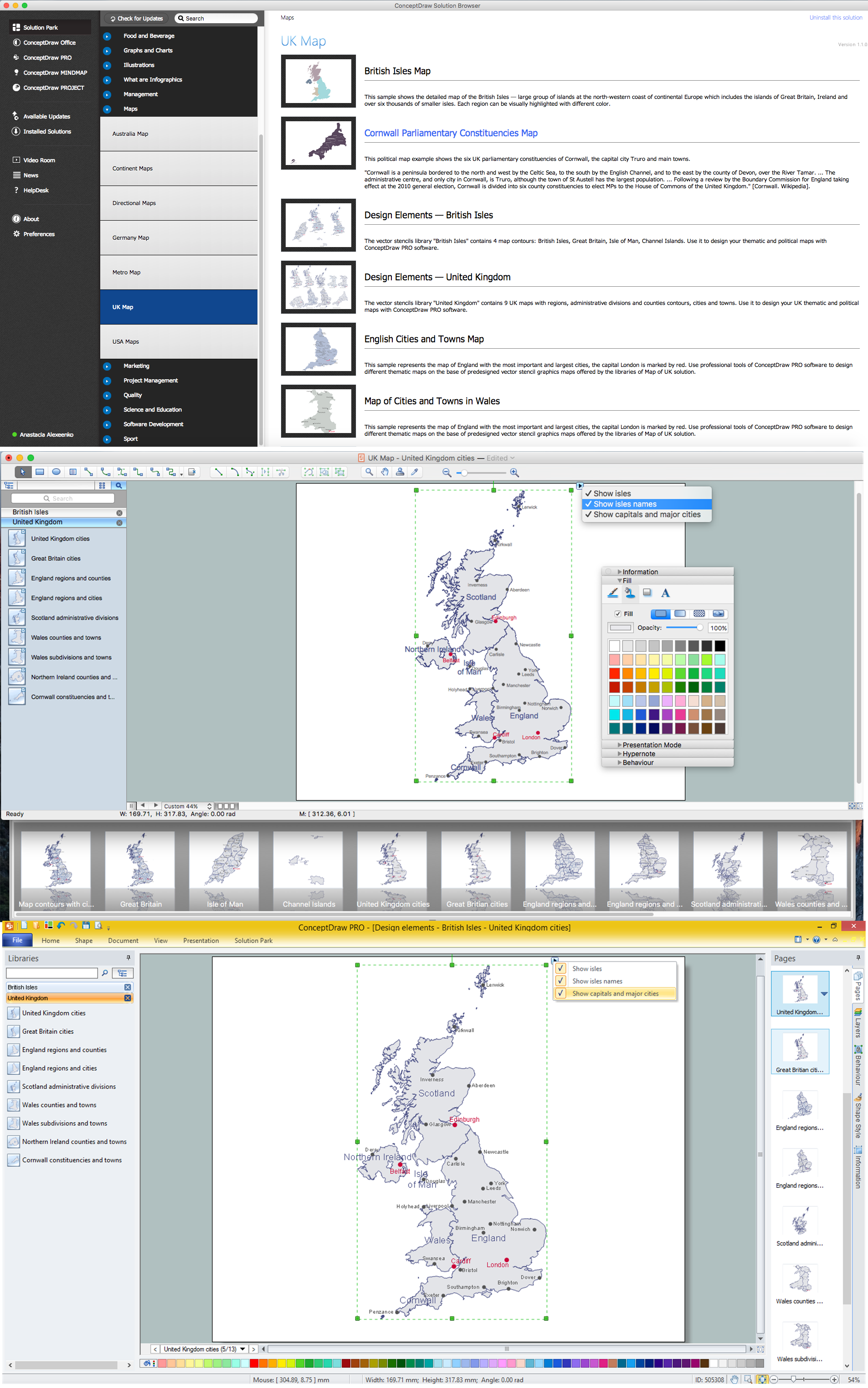
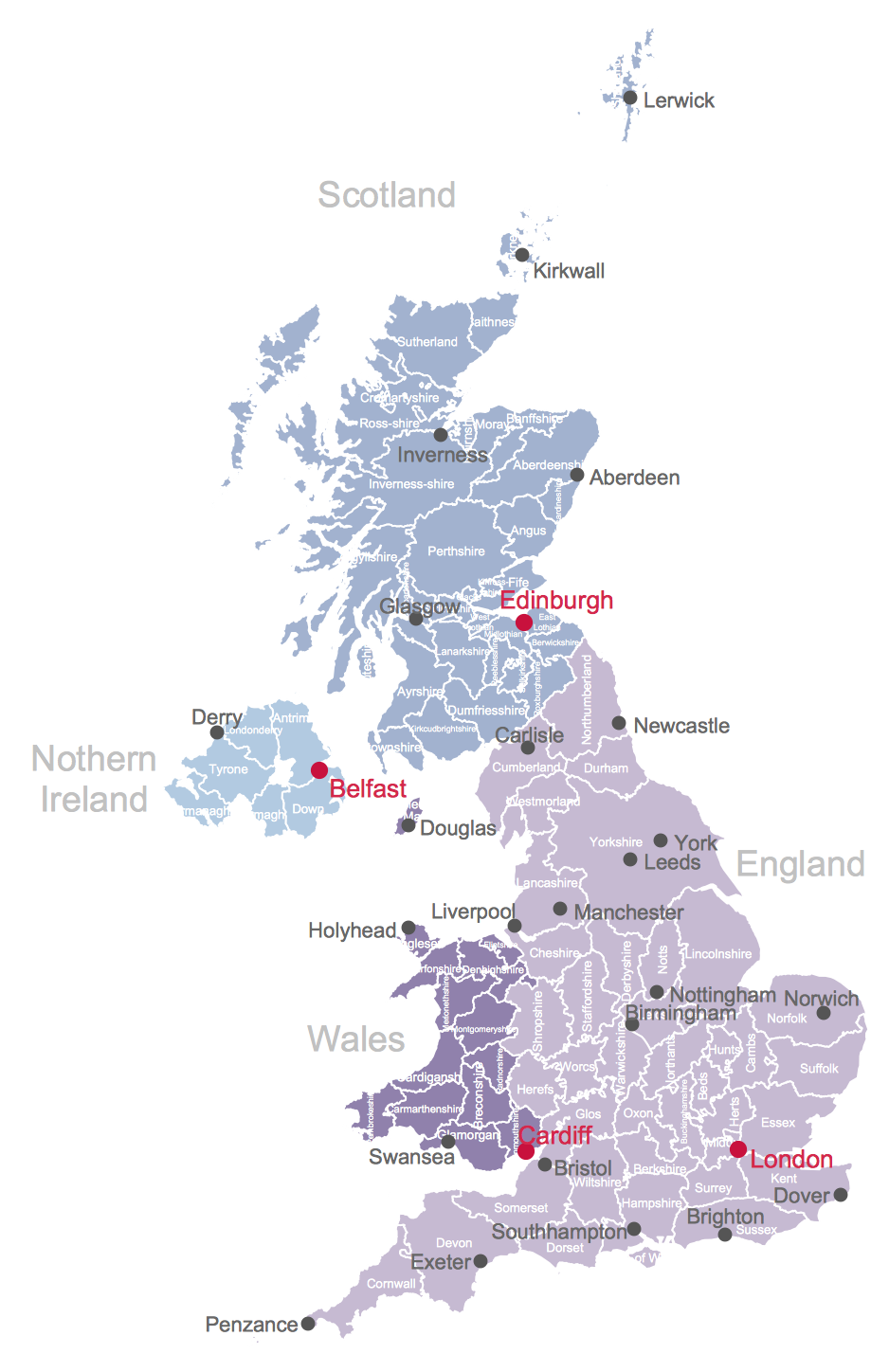
The United Kingdom of Great Britain and Northern Ireland, commonly known as the United Kingdom (UK) or Britain, is a sovereign state in Europe. How to design the Map of UK fast and easy? It is incredibly convenient to use special software. ConceptDraw PRO diagramming and vector drawing software offers the Map of UK Solution from the Maps Area of ConceptDraw Solution Park specially developed to make easier drawing the maps of UK counties, various UK related thematic maps and cartograms on their base.Map of UK — Great Britain Cities
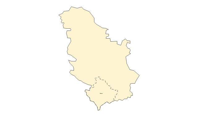
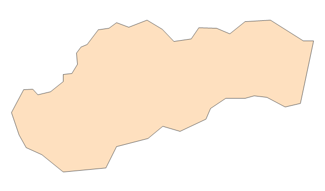
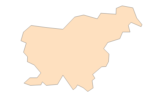
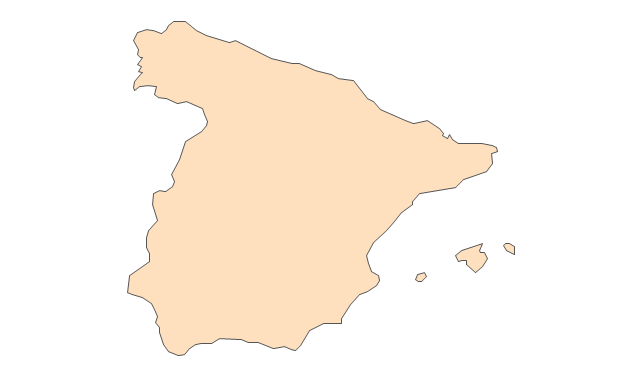
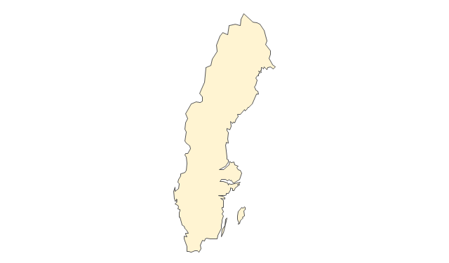
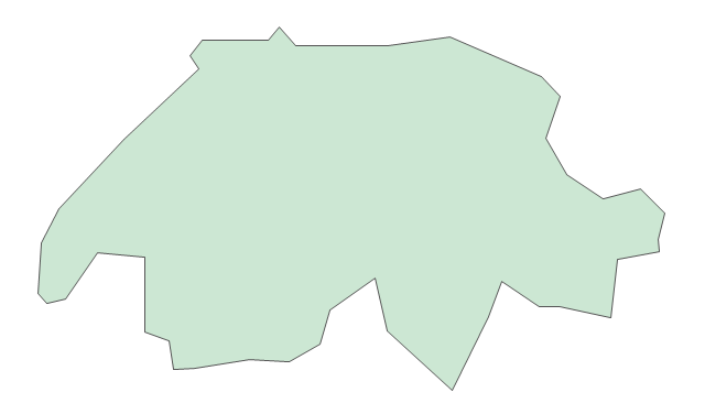
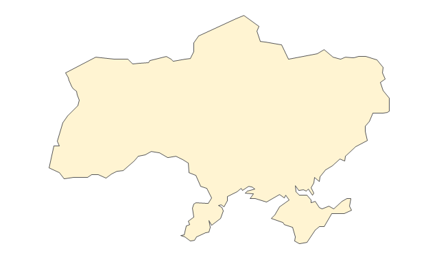
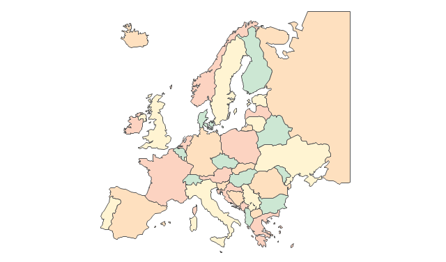
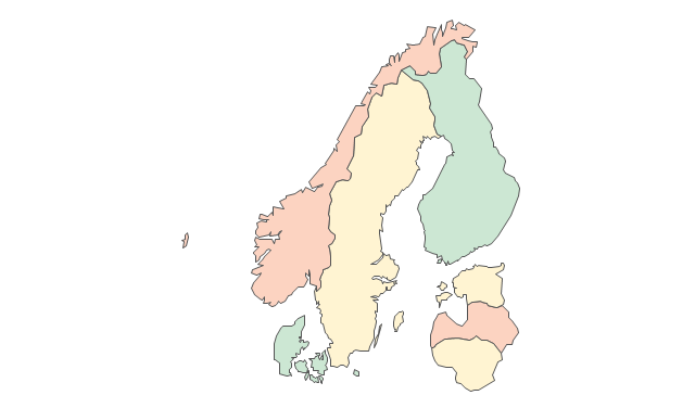
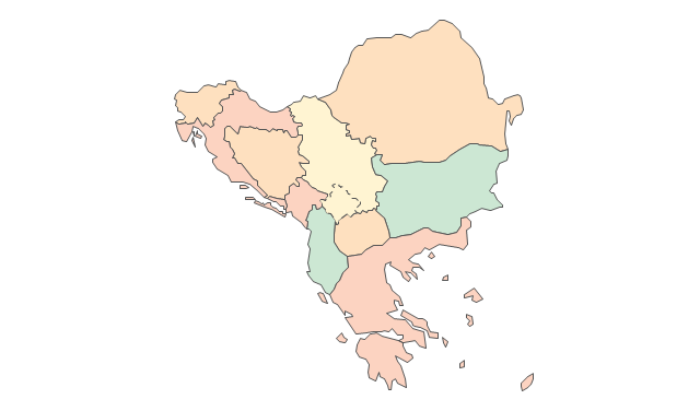
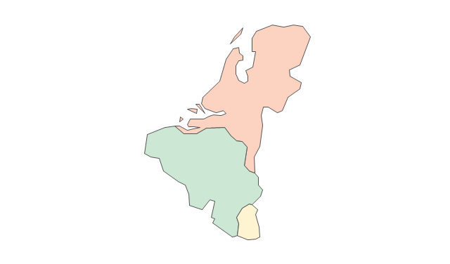
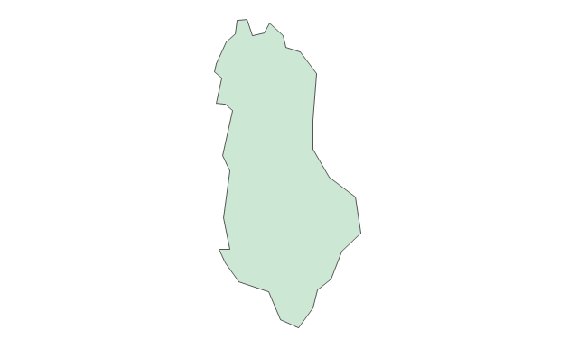
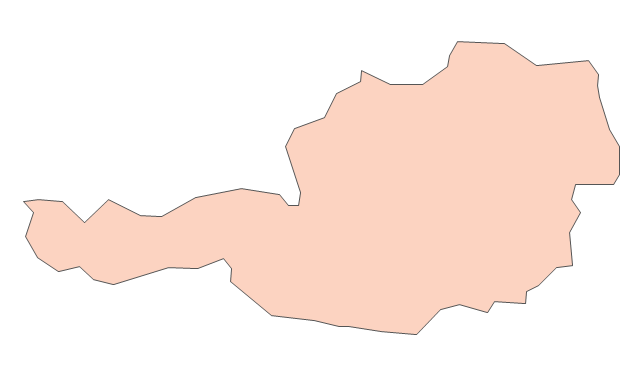
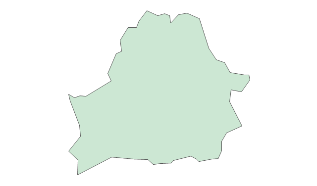
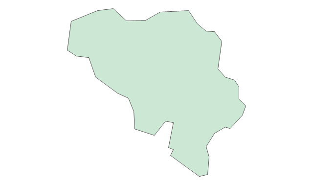
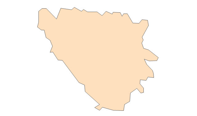
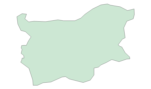
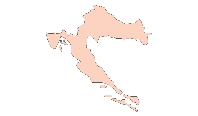
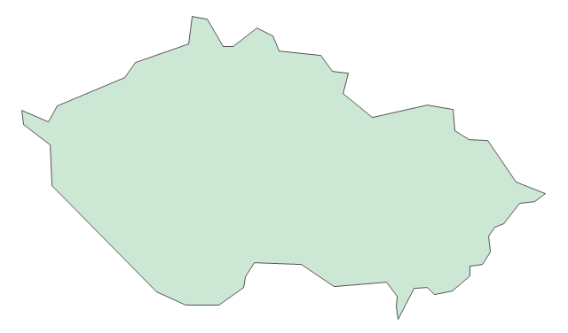
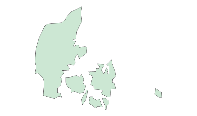
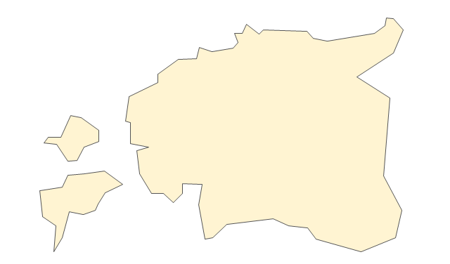
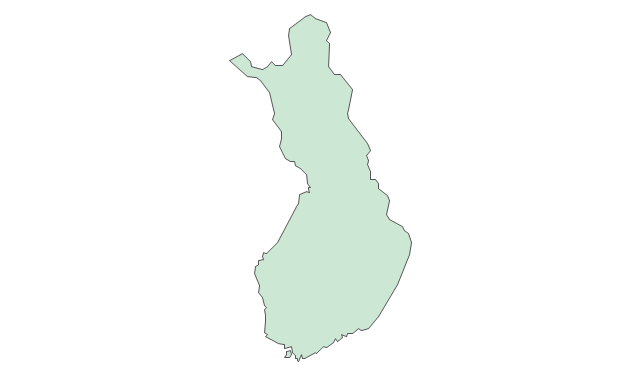
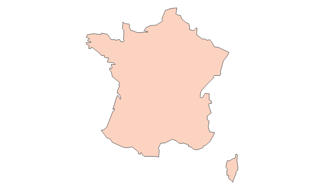
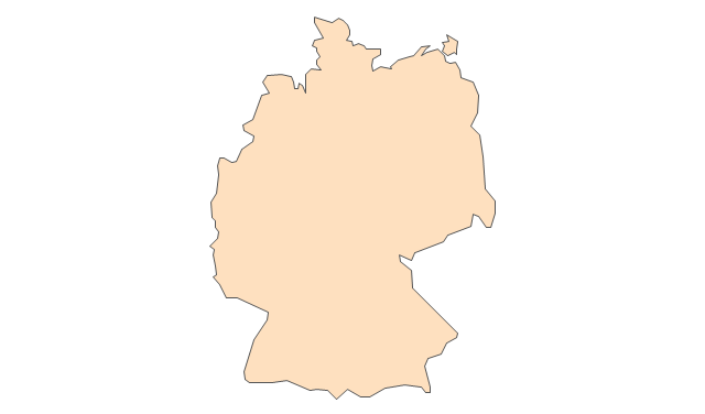
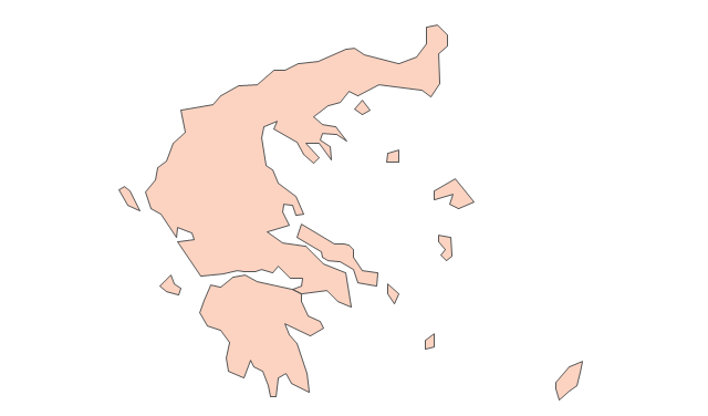
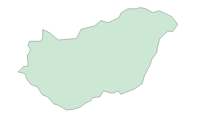
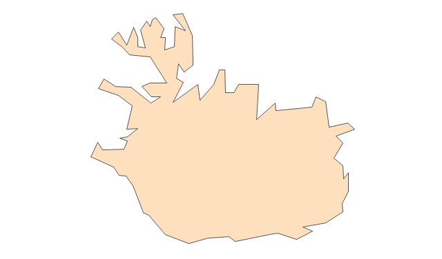
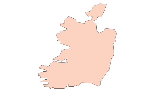
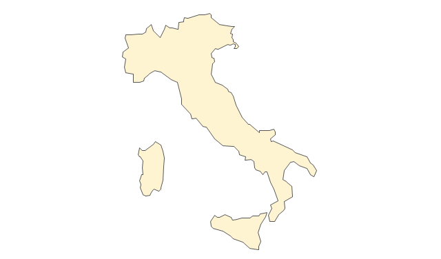
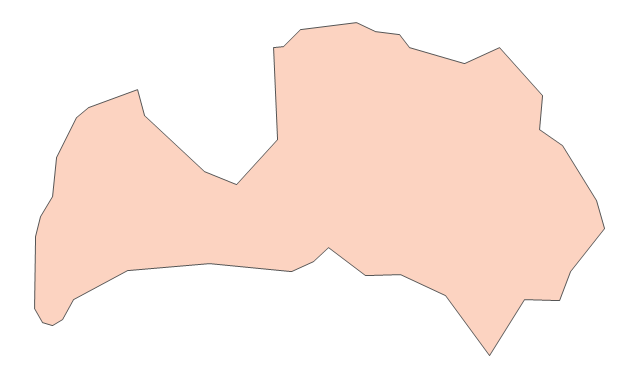
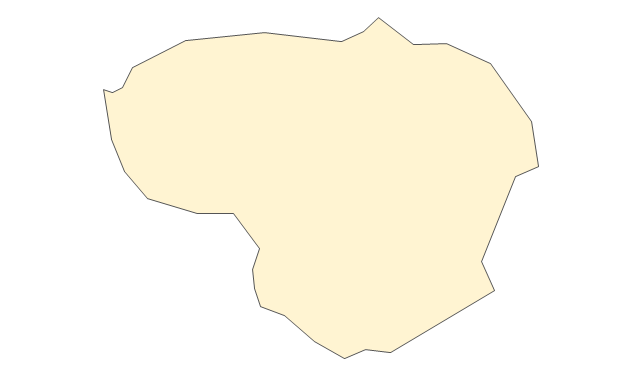
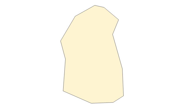
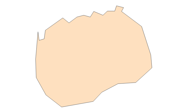
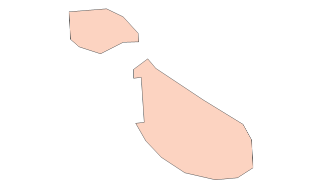
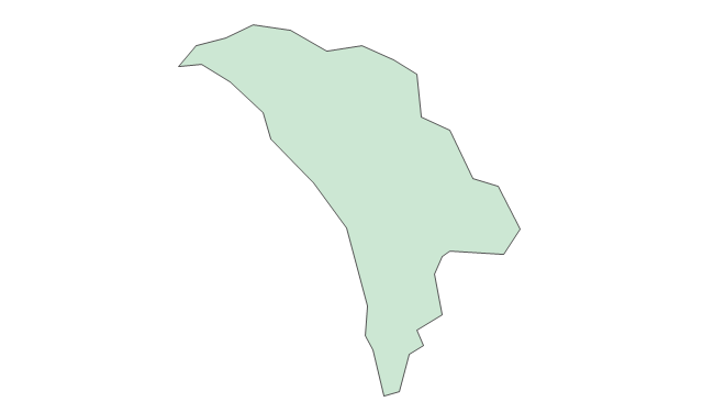
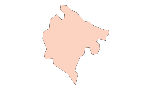
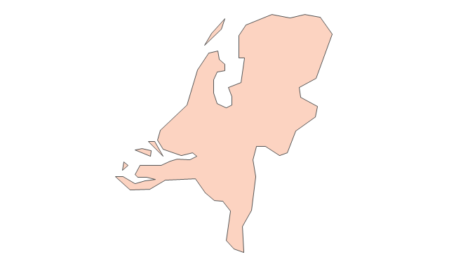
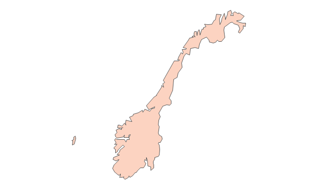
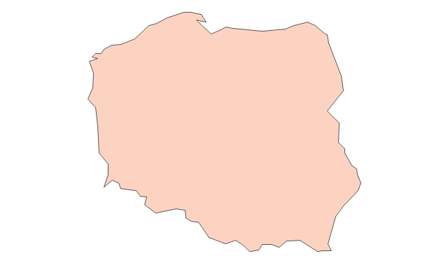
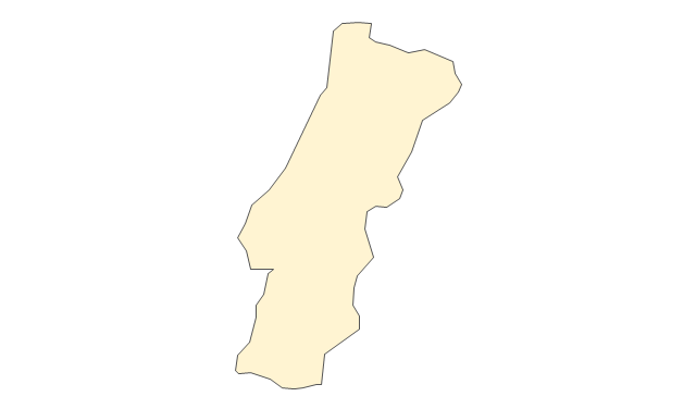
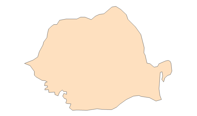
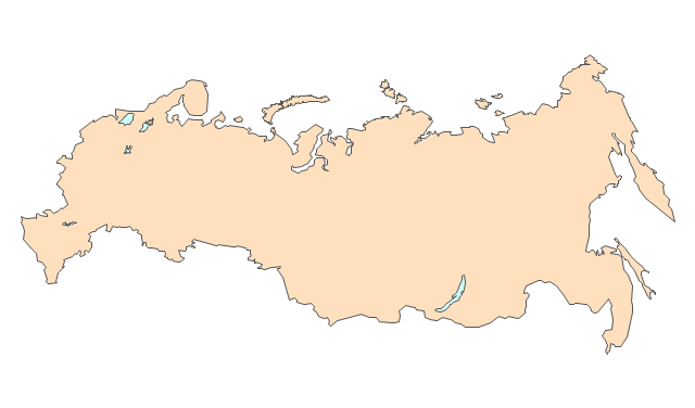
Great Britain, also known as Britain, is an island in the North Atlantic off the north-west coast of continental Europe. With an area of 209,331 km2 (80,823 sq mi), it is the largest island in Europe and the ninth-largest in the world. How to design the Map of UK fast and easy? It is incredibly convenient to use special software. ConceptDraw PRO diagramming and vector drawing software offers the Map of UK Solution from the Maps Area of ConceptDraw Solution Park specially developed to make easier drawing the maps of UK counties, various UK related thematic maps and cartograms on their base.The vector stencils library "Europe" contains 45 state map contours for drawing thematic maps of Europe. Use it in your spatial infographics for visual representation of geospatial information, statistics and quantitative data.
"There are 50 internationally recognised sovereign states with territory located within the common definition of Europe and/ or membership in international European organisations, of which 44 have their capital city within Europe. All except the Vatican City are members of the United Nations (UN), and all except Belarus, Kazakhstan and Vatican City are members of the Council of Europe. Since 2013, 28 of these countries are also member states of the EU, which means they are highly integrated with each other and share their sovereignty with EU institutions." [List of sovereign states and dependent territories in Europe. Wikipedia]
The state map contours example "Europe - Vector stencils library" was created using the ConceptDraw PRO diagramming and vector drawing software extended with the Continent Maps solution from the Maps area of ConceptDraw Solution Park.
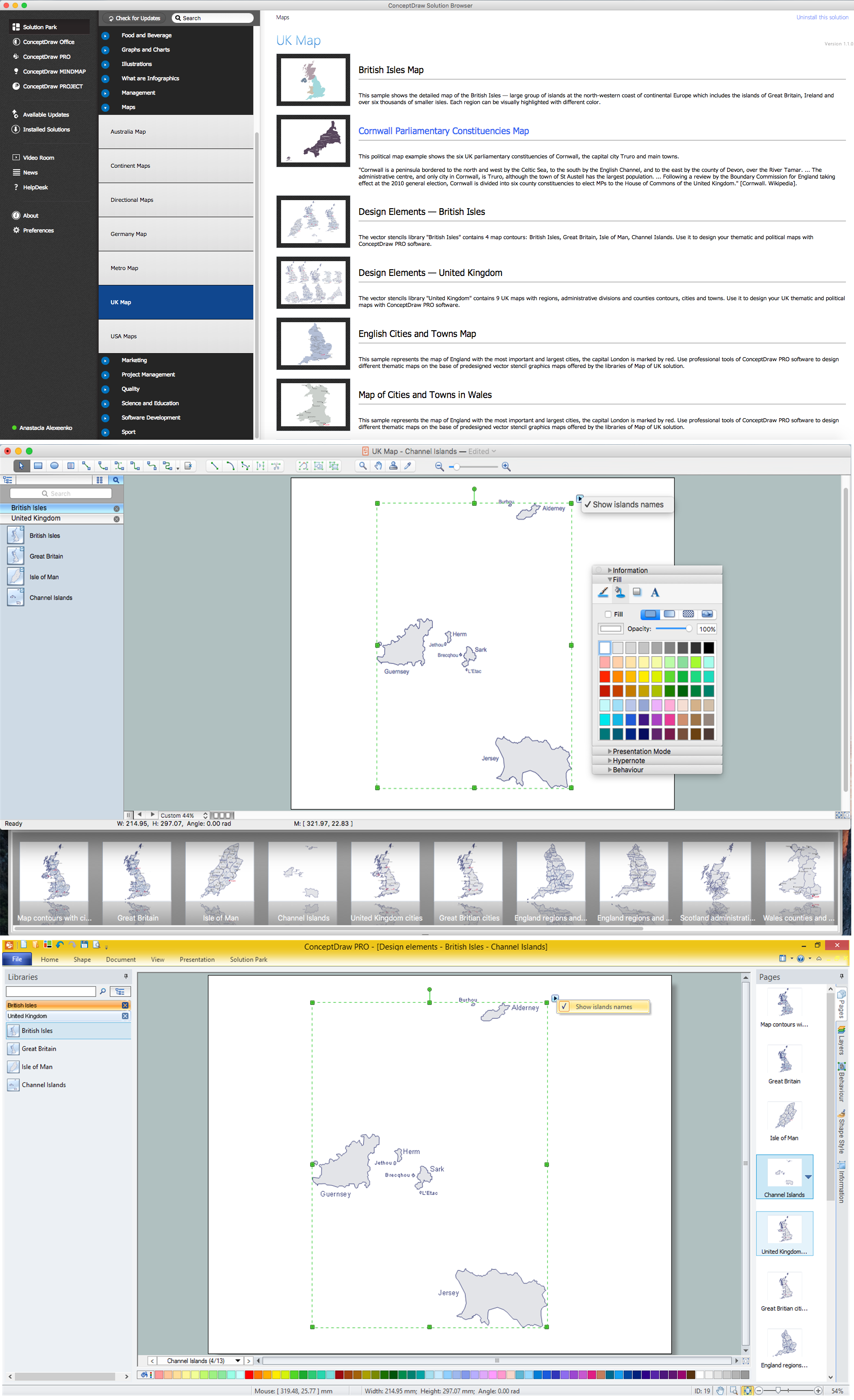
Map of UK — Channel Islands
The Channel Islands are an archipelago in the English Channel, off the French coast of Normandy. How to design the Map of UK fast and easy? It is incredibly convenient to use special software. ConceptDraw PRO diagramming and vector drawing software offers the Map of UK Solution from the Maps Area of ConceptDraw Solution Park specially developed to make easier drawing the maps of UK counties, various UK related thematic maps and cartograms on their base.Contours Map of UK
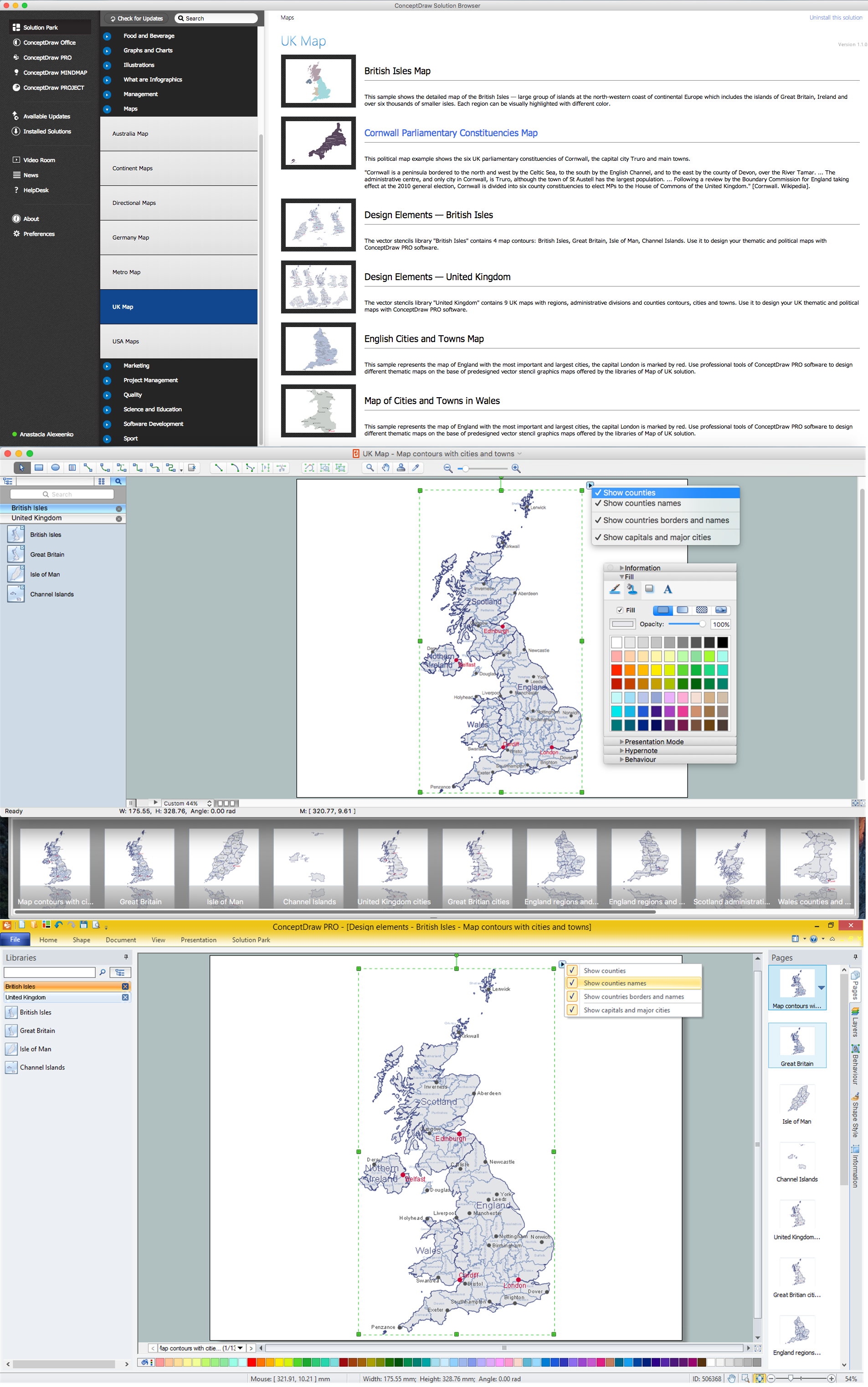
The United Kingdom of Great Britain and Northern Ireland, commonly known as the United Kingdom (UK) or Britain, is a sovereign state in Europe. How to design the Map of UK fast and easy? It is incredibly convenient to use special software. ConceptDraw PRO diagramming and vector drawing software offers the Map of UK Solution from the Maps Area of ConceptDraw Solution Park specially developed to make easier drawing the maps of UK counties, various UK related thematic maps and cartograms on their base.UK Map
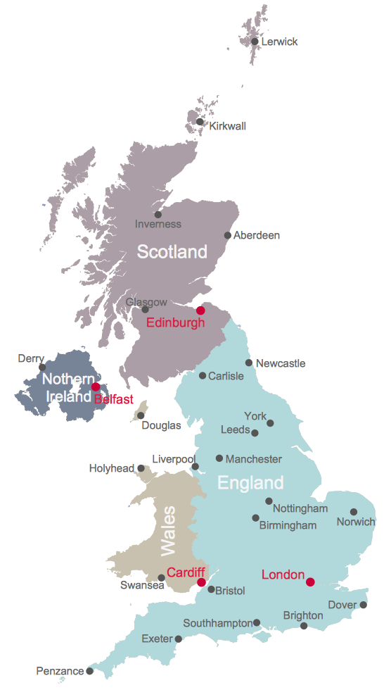
The United Kingdom of Great Britain and Northern Ireland, commonly known as the United Kingdom (UK), is a sovereign state in Europe which consists of four countries: England, Scotland, Wales, and Northern Ireland. UK is surrounded by the waters of Atlantic ocean, the North Sea, the English Channel, and the Irish Sea and includes large number of big and small islands. ConceptDraw PRO diagramming and vector drawing software offers the unique Map of UK Solution from the Maps Area of ConceptDraw Solution Park that is indispensable for easy drawing professional looking map of UK, UK counties map, UK map with cities, map of Scotland, map of England, map of Wales, Northern Ireland map.Geo Map - Europe - United Kingdom
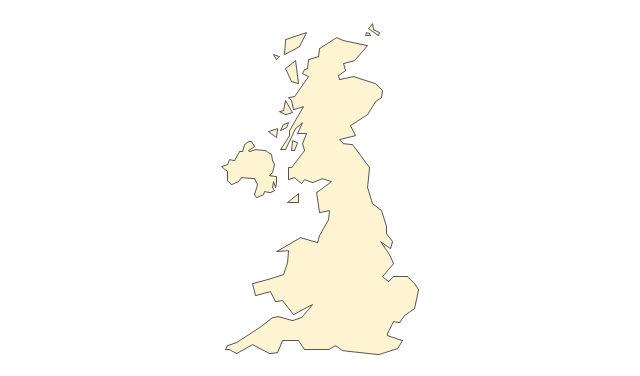
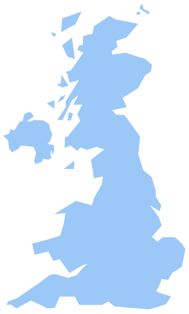
The vector stencils library United Kingdom contains contours for ConceptDraw PRO diagramming and vector drawing software. This library is contained in the Continent Maps solution from Maps area of ConceptDraw Solution Park.
 UK Map
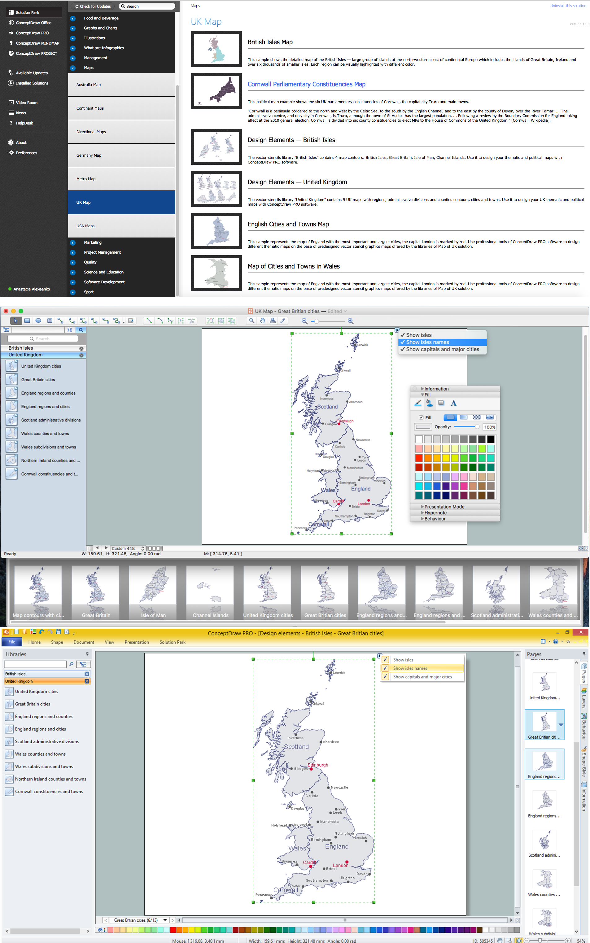
The Map of UK solution contains collection of professionally designed samples and scalable vector stencil graphics maps, representing the United Kingdom counties, regions and cities. Use the Map of UK solution from ConceptDraw Solution Park as the base fo
United Kingdom Map
The United Kingdom which includes England, Scotland, Wales, and Northern Ireland, is the 22nd-most populous country - important global city and financial centre. For administrative and political purposes, each country is divided into a number of counties, which are then subdivided into districts. ConceptDraw PRO diagramming and vector drawing software offers the Map of UK Solution from the Maps Area of ConceptDraw Solution Park with large collection of predesigned samples and libraries with vector map objects for easy drawing the United Kingdom Map of any degree of detail.United Kingdom Cities
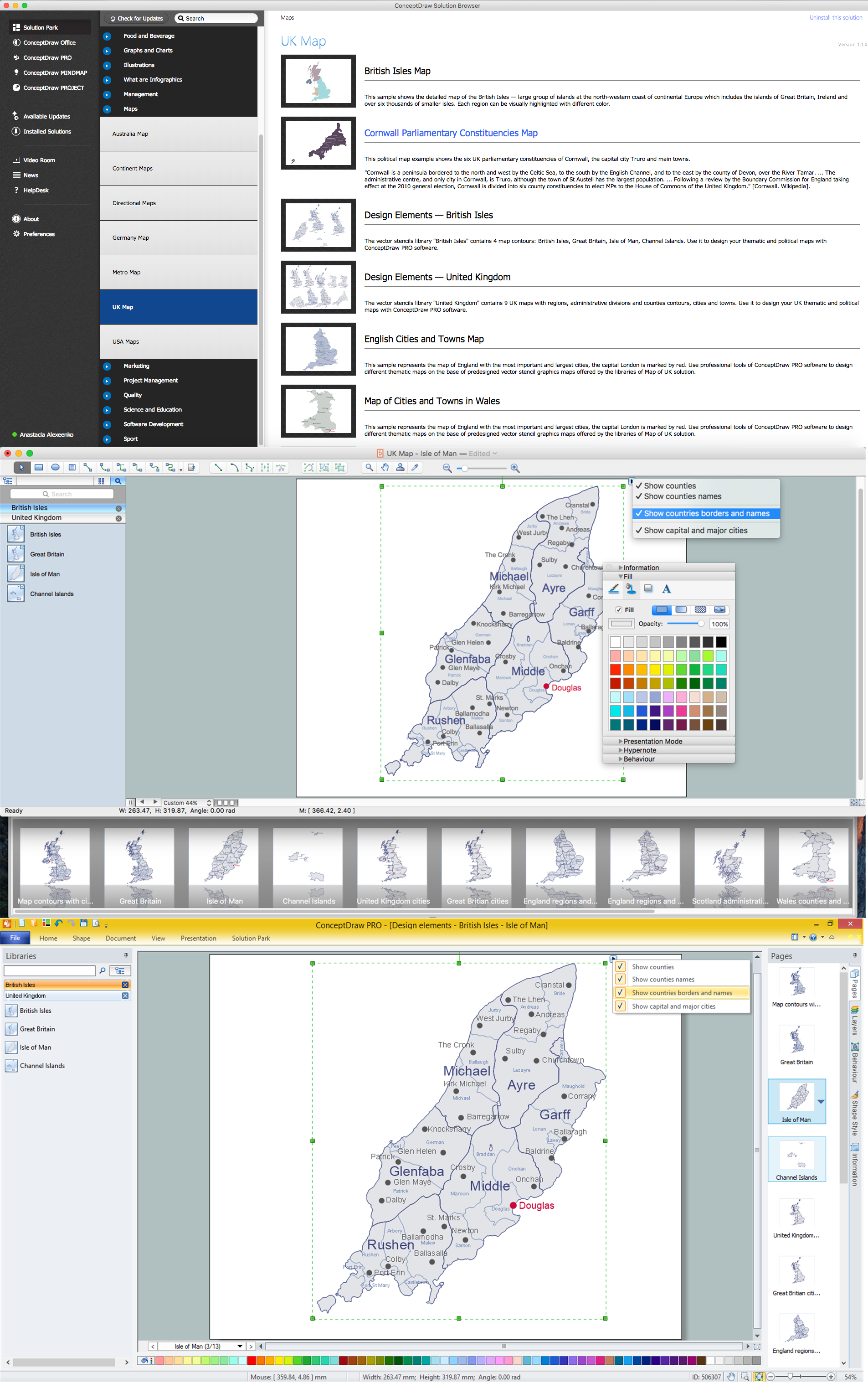
The United Kingdom of Great Britain and Northern Ireland, commonly known as the United Kingdom (UK) or Britain, is a sovereign state in Europe. How to design the Map of UK fast and easy? It is incredibly convenient to use special software. ConceptDraw PRO diagramming and vector drawing software offers the Map of UK Solution from the Maps Area of ConceptDraw Solution Park specially developed to make easier drawing the maps of UK counties, various UK related thematic maps and cartograms on their base.Map of UK — Isle of Man
The Isle of Man, also known simply as Mann, is a self-governing Crown dependency in the Irish Sea between Great Britain and Ireland. How to design the Map of UK fast and easy? It is incredibly convenient to use special software. ConceptDraw PRO diagramming and vector drawing software offers the Map of UK Solution from the Maps Area of ConceptDraw Solution Park specially developed to make easier drawing the maps of UK counties, various UK related thematic maps and cartograms on their base.Map of UK — Wales Subdivisions and Towns
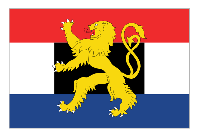
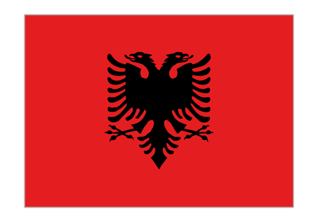
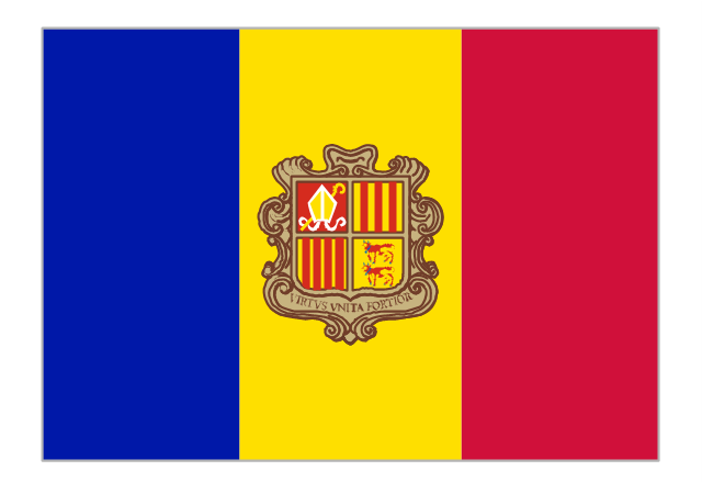
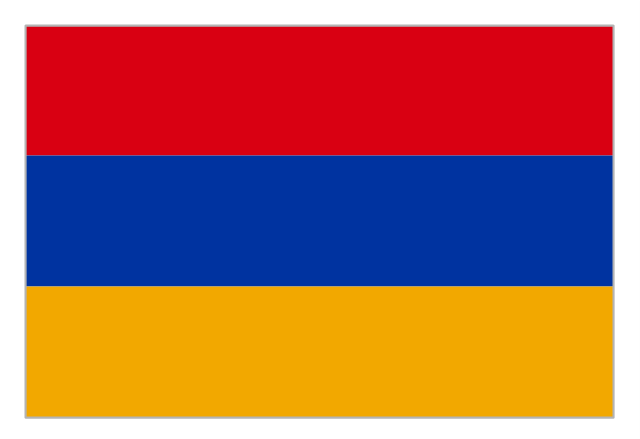
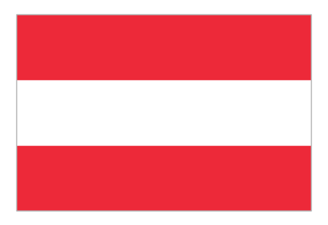
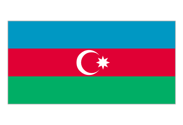
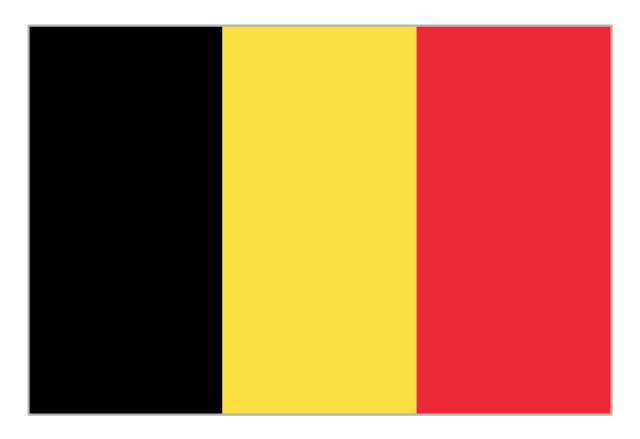
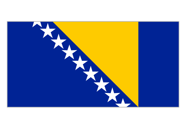
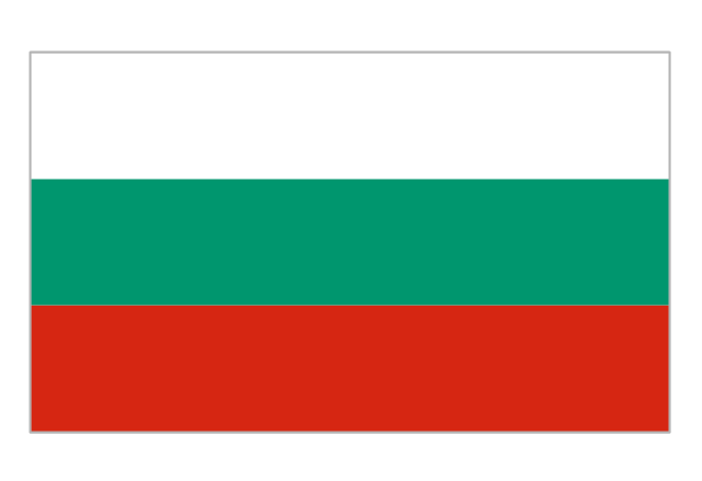
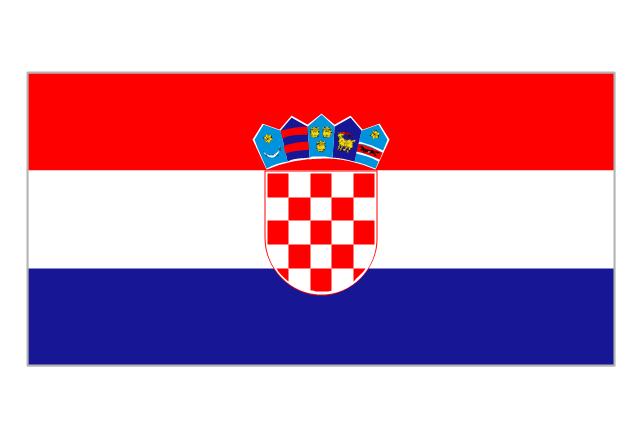
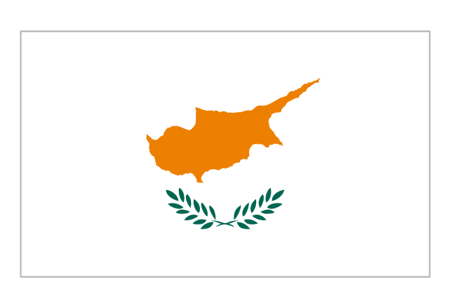
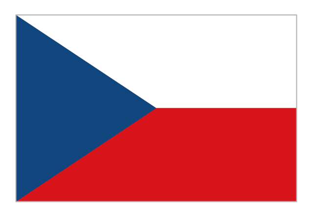
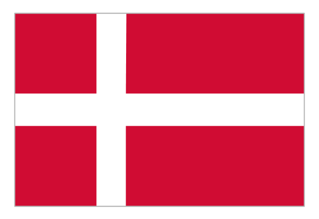
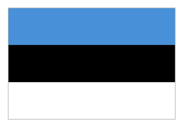
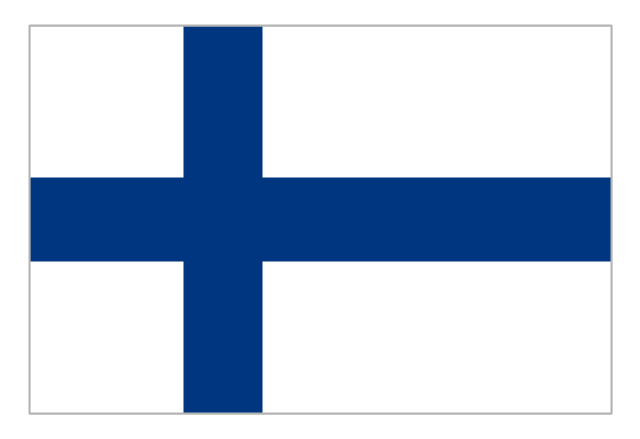
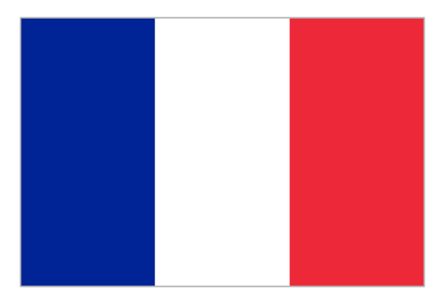
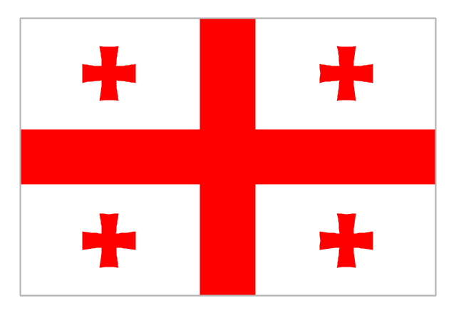
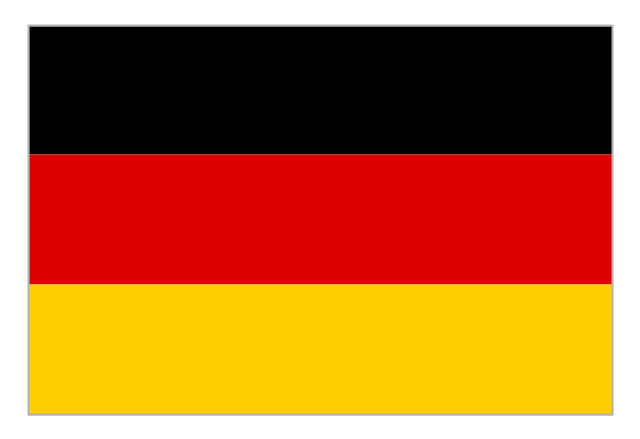
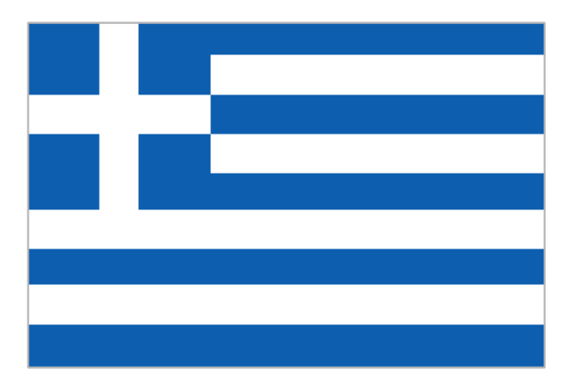
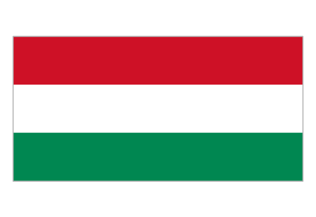
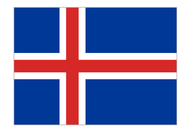
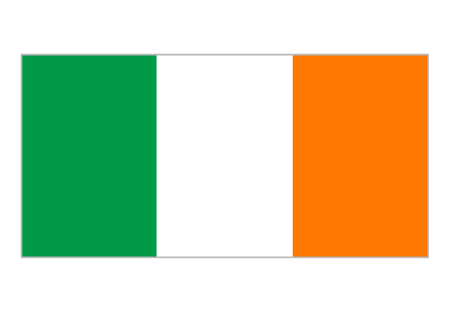
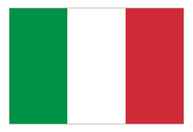
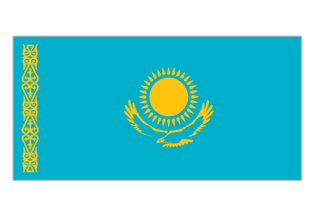
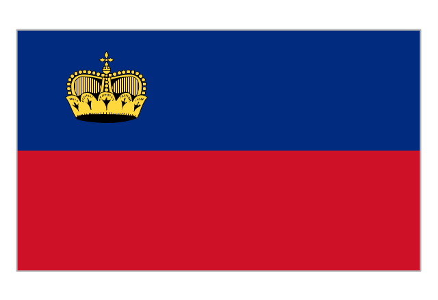
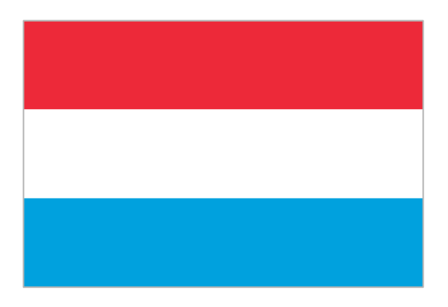
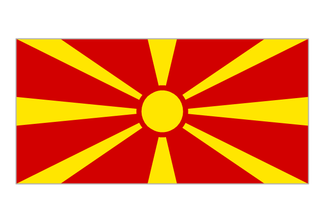
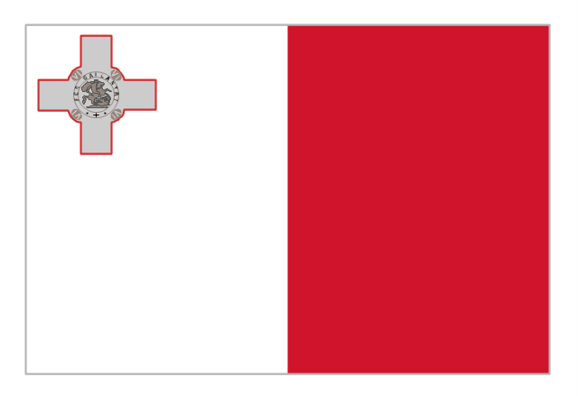
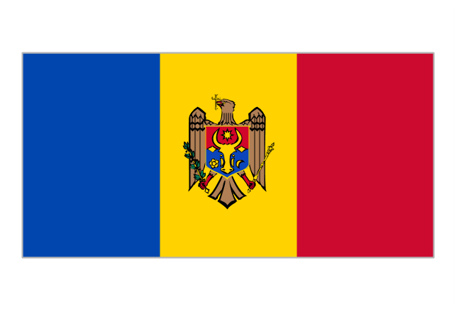
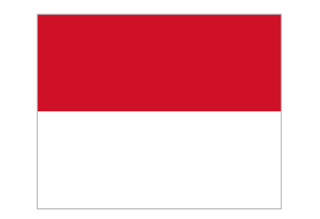
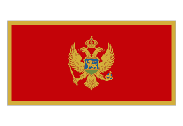
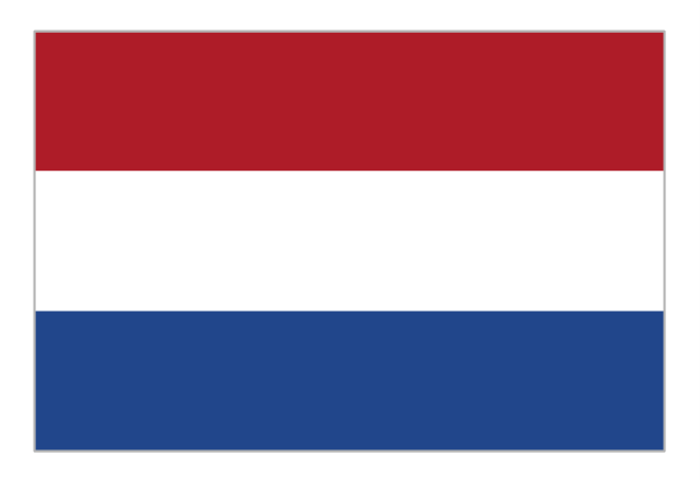
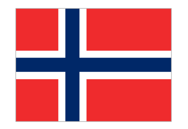
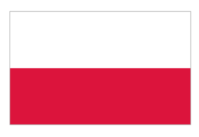
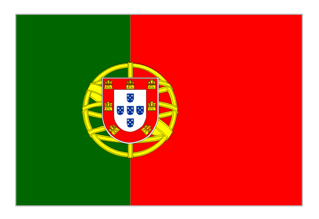
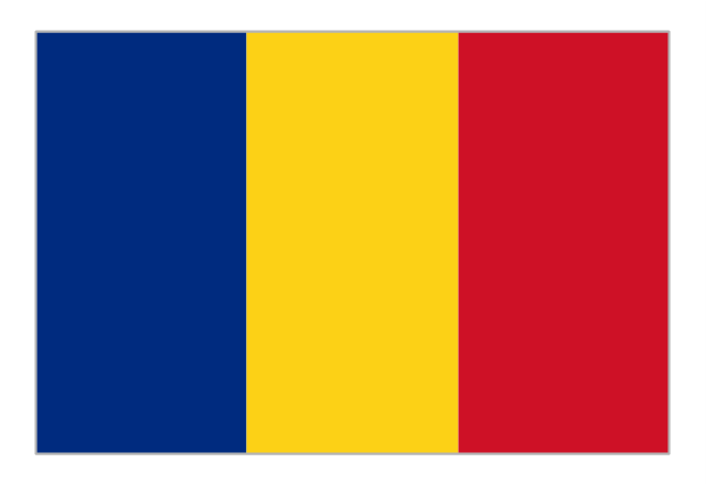
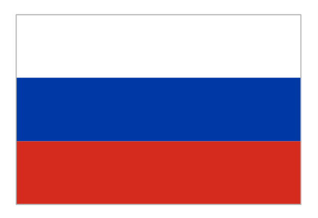
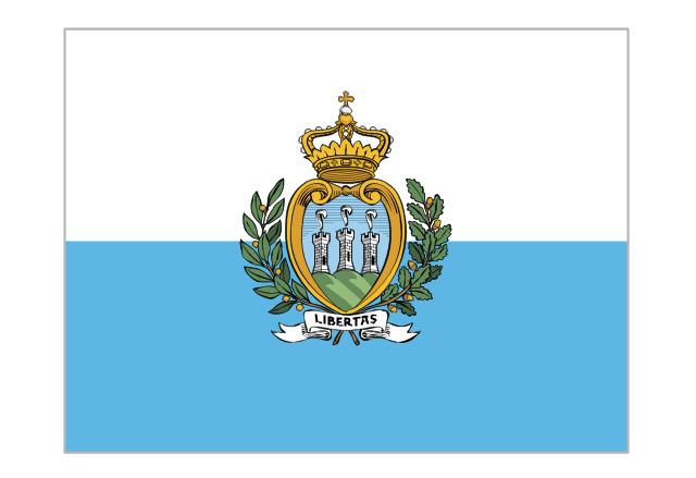
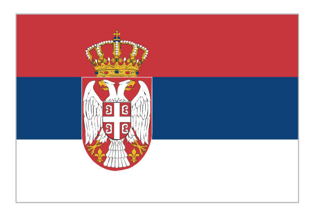
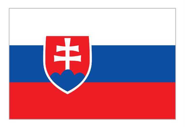
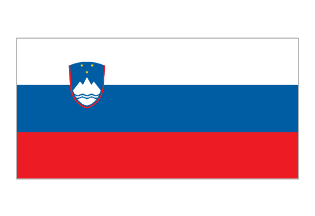
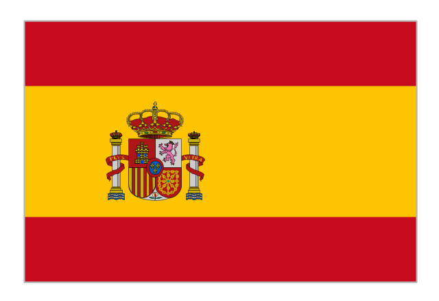
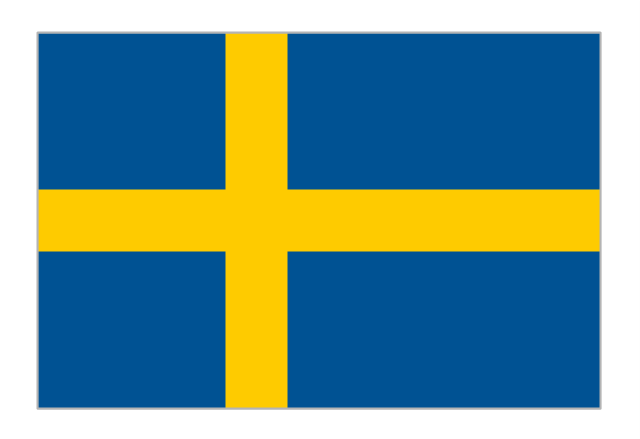
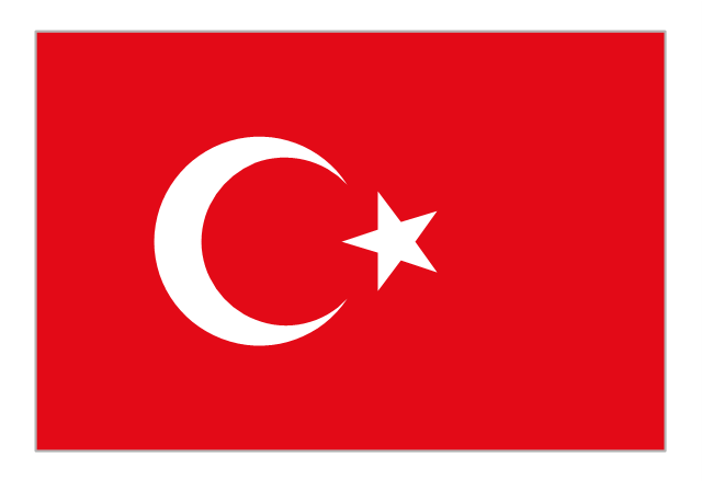
Wales is a country that is part of the United Kingdom and the island of Great Britain, bordered by England to its east, the Irish Sea to its north and west, and the Bristol Channel to its south. How to design the Map of UK fast and easy? It is incredibly convenient to use special software. ConceptDraw PRO diagramming and vector drawing software offers the Map of UK Solution from the Maps Area of ConceptDraw Solution Park specially developed to make easier drawing the maps of UK counties, various UK related thematic maps and cartograms on their base.The vector stencils library "European country flags" contains 51 clipart images of Europe state flags.
Use the European country flags clip art to illustrate your business documents, presentation slides, web pages, geo maps and infographics.
The clip art example "European country flags - Vector stencils library" was created using the ConceptDraw PRO diagramming and vector drawing software extended with the Artwork solution from the Illustration area of ConceptDraw Solution Park.
- Map of UK | United Kingdom Cities | Map of UK — Great Britain ...
- Geo Map - Europe - Ireland | Map of UK — Northern Ireland ...
- UK Map | Map of UK — Northern Ireland | UK Map | Northern Ireland ...
- Map Of Britain And Europe
- Europe - Vector stencils library
- Map of UK — Great Britain | Map of UK | Geo Map - Europe - United ...
- Map of UK — Great Britain Cities | United Kingdom Cities | UK Map ...
- Vector Map of Germany | Process Flowchart | Map of UK | Easy Map ...
- Map of Scotland | Map of UK — Scotland | Map of UK | Map Of ...
- Ocean Maps Design Vector Samples
- British Isles Map
- UK Map | Map of England | United Kingdom Cities | England Map Of ...
- Northern Ireland cities and towns map
- Geo Map - Asia - Philippines | Map of Continents | Map of Germany ...
- UK Map | Map of England | UK Map | Germany Map English
- Map of UK — Channel Islands
- UK Map
- Map Of The British Isles Counties
- UK Map | Map of UK | Map of Scotland | British Isles
- UK Map | Geo Map - Europe - United Kingdom | Map of UK ...
-europe---vector-stencils-library.png--diagram-flowchart-example.png)
