Geo Map — Europe

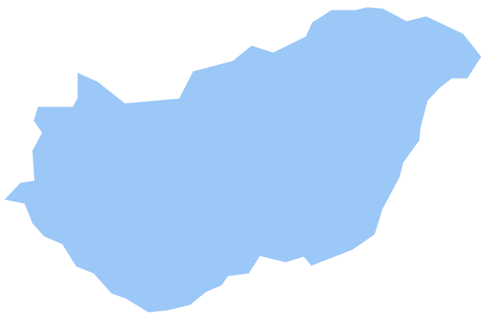
Geo Map - Europe - Hungary
The vector stencils library "Marketing maps" contains 44 state map contours with capitals and major cities: G-20 state maps, EU state maps and world map.
Use it to visualize geospatial information in your marketing infograms.
"The European Union (EU) is a politico-economic union of 28 member states that are primarily located in Europe: Austria, Belgium, Bulgaria, Croatia, Cyprus, Czech Republic, Denmark, Estonia, Finland, France, Germany, Greece, Hungary, Ireland, Italy, Latvia, Lithuania, Luxembourg, Malta, Netherlands, Poland, Portugal, Romania, Slovakia, Slovenia, Spain, Sweden, United Kingdom." [European Union. Wikipedia]
The European Union map contours example "Design elements - Marketing maps (EU)" was created using the ConceptDraw PRO diagramming and vector drawing software extended with the Marketing Infographics solition from the area "Business Infographics" in ConceptDraw Solution Park.
European Union state map contours
.png--diagram-flowchart-example.png)
- Geo Map - Europe - Belgium
- Geo Map - Europe - France
- Design elements - Education maps (EU) | Geo Map - Europe ...
- Geo Map - Asia - India | Geo Map - Africa - Madagascar | Geo Map ...
- Geo Map - Asia - Indonesia | Asia - Vector stencils library | Geo Map ...
- Geo Map - World | Geo Map of Americas | Geo Map — United States ...
- Geo Map - South America - Argentina | Argentina in South America ...
- People pictograms - Vector stencils library | People pictograms ...