"A transit map is a topological map in the form of a schematic diagram used to illustrate the routes and stations within a public transport system - whether this be bus lines, tramways, rapid transit, commuter rail or ferry routes. The main components are color coded lines to indicate each line or service, with named icons to indicate stations or stops. ...
There are a growing number of books, websites and works of art on the subject of urban rail and metro map design and use. There are now hundreds of examples of diagrams in an urban rail or metro map style that are used to represent everything from other transit networks like buses and national rail services to sewerage systems and Derbyshire public houses." [Transit map. Wikipedia]
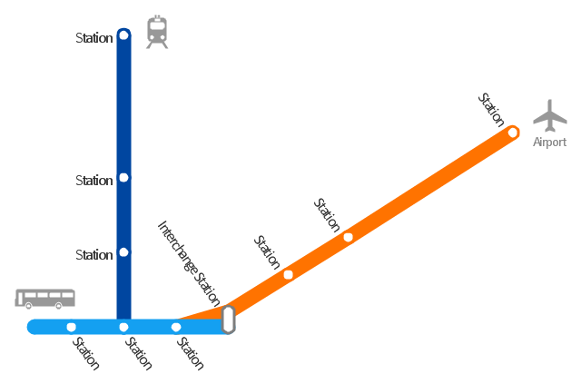
The transportation map template for the ConceptDraw PRO diagramming and vector drawing software is included in the Spatial Infographics solution from the area "What is Infographics" of ConceptDraw Solution Park.
 Metro Map
Metro Map solution extends ConceptDraw PRO software with templates, samples and library of vector stencils for drawing the metro maps, route maps, bus and other transport schemes, or design tube-style infographics.
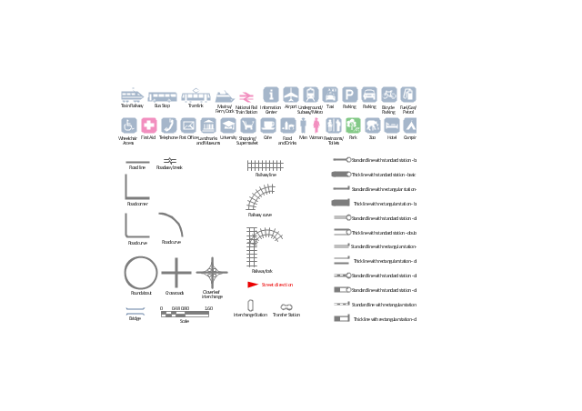
The vector stencils library "Transport map" contains 96 pictograms for drawing transport maps.
Use it in your spatial infographics for visual representation of transport schemes and plans as metro maps in the ConceptDraw PRO diagramming and vector drawing software extended with the Spatial Infographics solution from the area "What is Infographics" of ConceptDraw Solution Park.
Use it in your spatial infographics for visual representation of transport schemes and plans as metro maps in the ConceptDraw PRO diagramming and vector drawing software extended with the Spatial Infographics solution from the area "What is Infographics" of ConceptDraw Solution Park.
The vector stencils library "Transport map" contains 96 signs and pictograms for drawing road and transit maps.
"A transit map is a topological map in the form of a schematic diagram used to illustrate the routes and stations within a public transport system - whether this be bus lines, tramways, rapid transit, commuter rail or ferry routes. The main components are color coded lines to indicate each line or service, with named icons to indicate stations or stops.
Transit maps can be found in the transit vehicles, at the platforms or in printed timetables. Their primary function is to help users to efficiently use the public transport system, including which stations function as interchange between lines. Unlike conventional maps, transit maps are usually not geographically accurate - instead they use straight lines and fixed angles, and often illustrate a fixed distance between stations, compressing those in the outer area of the system and expanding those close to the center." [Transit map. Wikipedia]
The pictograms example "Design elements - Transport map" was created using the ConceptDraw PRO diagramming and vector drawing software extended with the Spatial Infographics solution from the Maps area of ConceptDraw Solution Park.
MS Visio Look a Like Diagrams
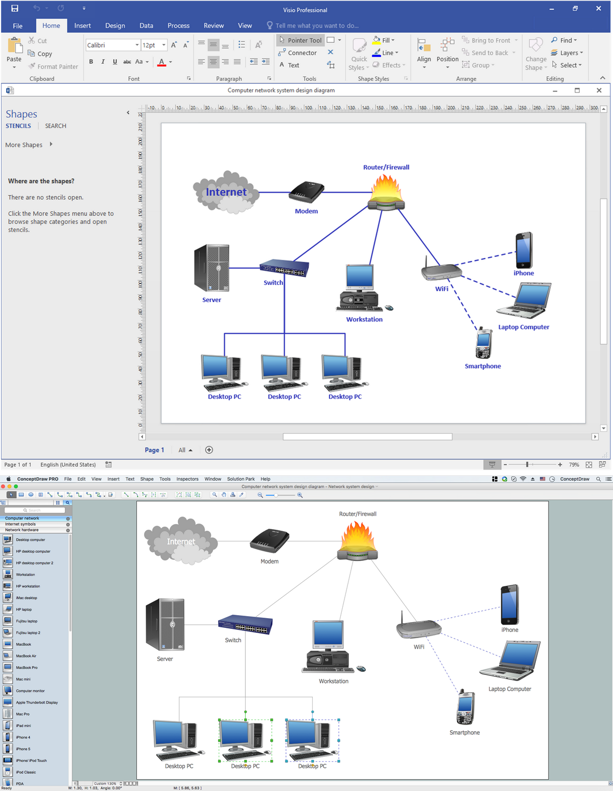
No need for any special drawing skills to create professional looking diagrams outside of your knowledge base. ConceptDraw PRO takes care of the technical details, allowing you to focus on your job, not the drawing. ConceptDraw PRO delivers full-functioned alternative to MS Visio. ConceptDraw PRO supports import of Visio files. ConceptDraw PRO supports flowcharting, swimlane, orgchart, project chart, mind map, decision tree, cause and effect, charts and graphs, and many other diagram types."An airport rail link is a service providing passenger rail transport from an airport to a nearby city; by mainline- or commuter trains, rapid transit, people mover or light rail. Direct links operate straight to the airport terminal, while other systems require an intermediate use of people mover or shuttle bus.
Although airport rail links have been popular solutions in Europe and Japan for decades, only recently have links been constructed in North America and Oceania, and the rest of Asia. Advantages for the rider include faster travel time and easy interconnection with other public transport, while authorities have benefited from less highway and parking congestion, less pollution, and additional business opportunities. Additionally, the links benefit airports by drawing in more passengers via easy access." [Airport rail link. Wikipedia]
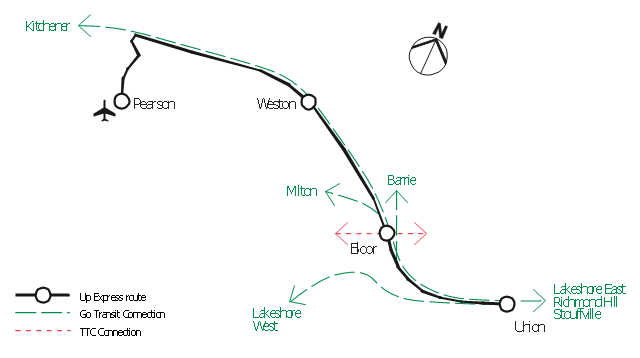
This route map example was redesigned from the Wikimedia Commons file: ARL route map.png. [commons.wikimedia.org/ wiki/ File:ARL_ route_ map.png]
This file is made available under the Creative Commons CC0 1.0 Universal Public Domain Dedication. [creativecommons.org/ publicdomain/ zero/ 1.0/ deed.en]
The example "ARL route map" was created using the ConceptDraw PRO diagramming and vector drawing software extended with the Metro Map solution from the Maps area of ConceptDraw Solution Park.
 ConceptDraw Solution Park
ConceptDraw Solution Park collects graphic extensions, examples and learning materials
The vector stencils library "Landmarks" contains 69 landmark symbols of buildings, waterways, scale and directional indicators for labeling transportation and directional maps, road and route maps, street and transit maps, locator and tourist maps.
The pictograms example "Landmarks - Vector stencils library" was created using the ConceptDraw PRO diagramming and vector drawing software extended with the Directional Maps solution from the Maps area of ConceptDraw Solution Park.
The pictograms example "Landmarks - Vector stencils library" was created using the ConceptDraw PRO diagramming and vector drawing software extended with the Directional Maps solution from the Maps area of ConceptDraw Solution Park.
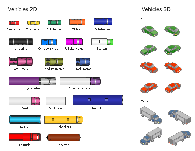
The vector stencils library "Vehicles (2D)" contains 21 icons. The library "Vehicles (3D)" contains 12 icons.
Use these icons for creating the pictorial road and rout maps, directional and locator maps, transit and street maps, road traffic and automotive transport moving diagrams using the ConceptDraw PRO diagramming and vector drawing software.
The example "Design elements - Vehicles 2D, 3D" is included in the Directional Maps solution from the Maps area of ConceptDraw Solution Park.
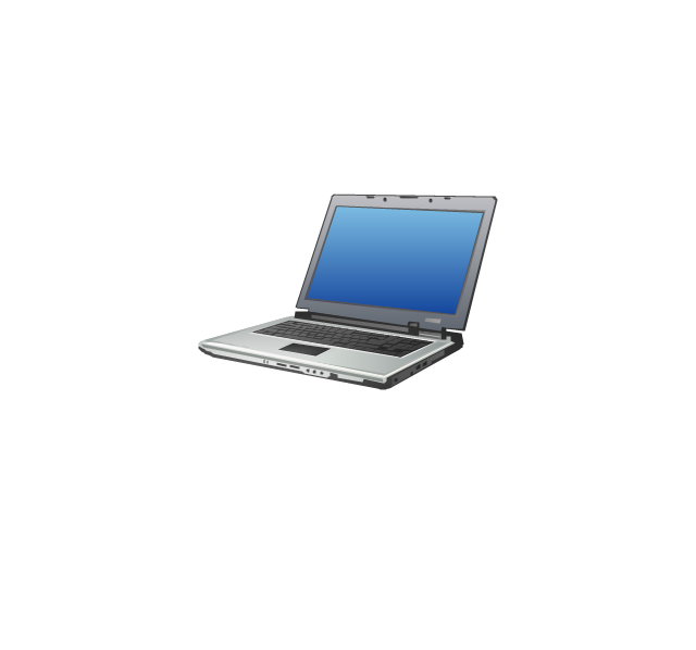
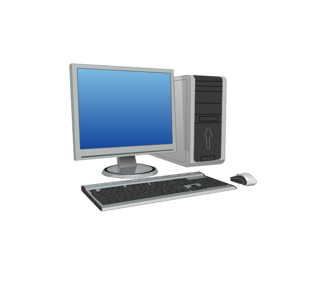
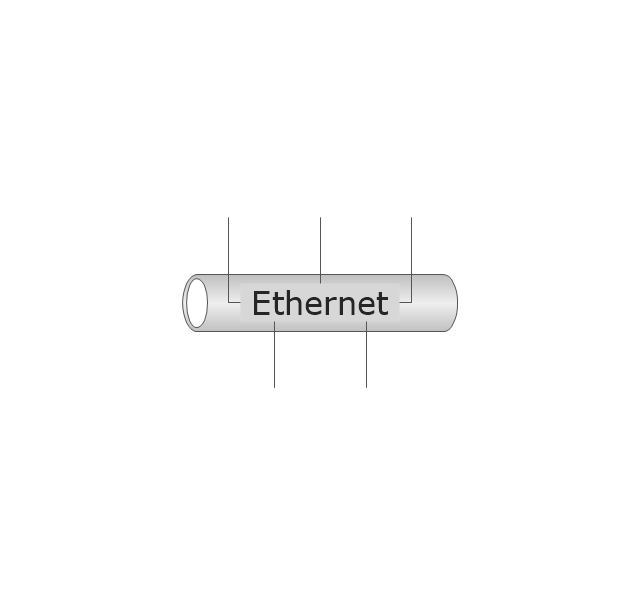
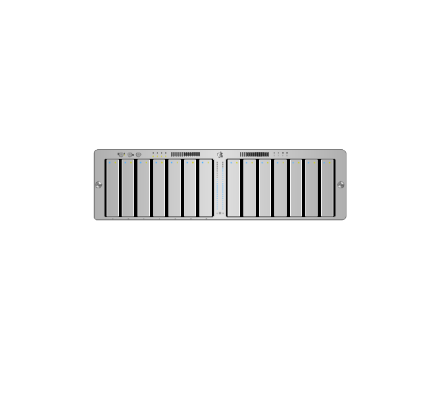
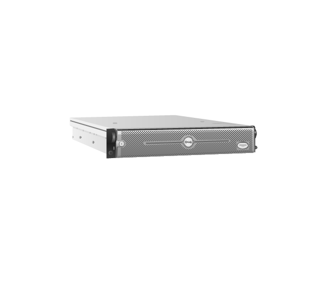
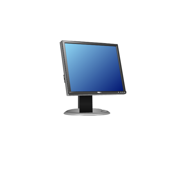
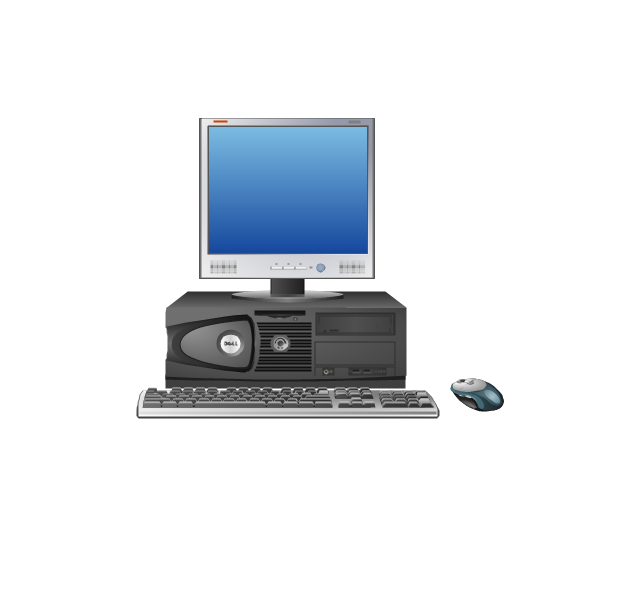
The vector stencils library "Computer network" contains 51 symbols of computer network devices and equipment for drawing computer network diagrams.
"Network Mapping Software.
A number of software tools exist to design computer network diagrams / or generate visual maps of networks, servers, storage, services, data centers, and other peripherals. Broadly, there are two types of software tools - those that help create diagrams manually and those that generate them using automated / semi-automated approaches.
Type of Software.
(1) Manual - allows users to design and draw logical and physical topology diagrams by manually placing icons and connections.
(2) Automated - generate topology diagrams / maps by traversing the network and automatically discovering resident devices or by importing network data." [Comparison of network diagram software. Wikipedia]
ConceptDraw PRO is the software for manual design of computer network diagrams. The solutions of the Computer and Networks area in ConceptDraw Solution Park extend ConceptDraw PRO with vector stencils libraries, templates and examples for creating the computer network diagrams.
The symbols example "Computer network - Vector stencils library" was created using the ConceptDraw PRO diagramming and vector drawing software extended with the Computer and Networks solution from the Computer and Networks area of ConceptDraw Solution Park.
www.conceptdraw.com/ solution-park/ computer-and-networks
- Network Diagram Examples | Bus network topology diagram | Basic ...
- Network Diagram Examples | Network Topology | How to draw Metro ...
- Bus network topology diagram | Visio Look a Like Diagrams ...
- Transport map template - Conceptdraw.com
- Los Angeles county Metro Rail map
- Maps | Spatial infographics Design Elements: Transport Map | Metro ...
- Aerospace and Transport | Transport illustration template | Taxi Bus ...
- How to draw Metro Map style infographics? Moscow, New York, Los ...
- Metro Map | How to draw Metro Map style infographics? Moscow ...
- Road Transport - Design Elements | Visio Look a Like Diagrams ...
- Transit map template
- Los Angeles county Metro Rail map | How to draw Metro Map style ...
- How To Do A Mind Map In PowerPoint | Metro Map | SWOT Analysis ...
- How to draw Metro Map style infographics? (New York) | How to ...
- Los Angeles county Metro Rail map | How to draw Metro Map style ...
- How to draw Metro Map style infographics? (New York) | Metro Map ...
- Network Topology | Cisco Network Topology | Bus network topology ...
- UML Class Diagram Example for Transport System
- Network Diagram Examples | Audio and Video Connectors ...
- Metro Map | How to draw Metro Map style infographics? (London ...
