Geo Map - Canada - Alberta
Geo Map - Canada - Northwest Territories
Geo Map - Canada - Ontario

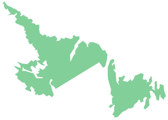
Geo Map - Canada - Newfoundland and Labrador
Geo Map - Canada

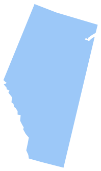
Geo Map - Canada - Prince Edward Island

Geo Map - Canada - British Columbia

Geo Map - Canada - Yukon

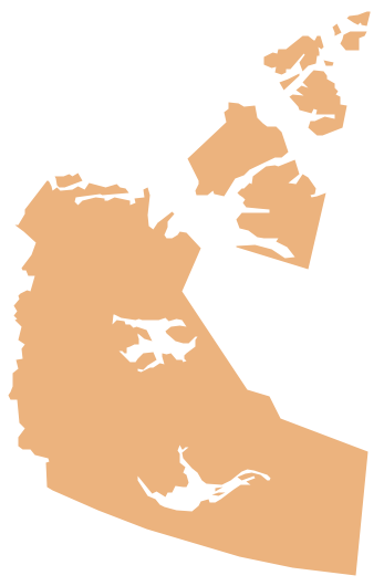
Geo Map - Canada - Quebec

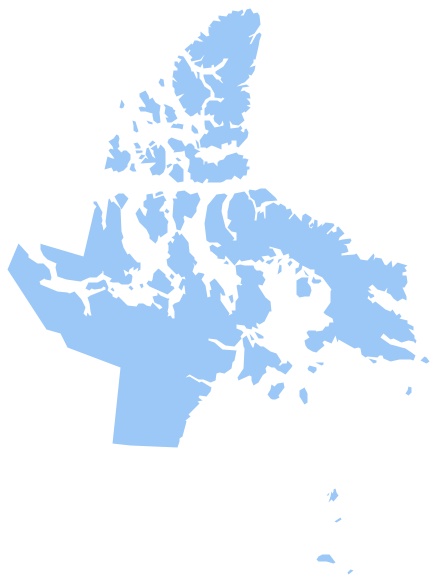
Geo Map - Canada - Nunavut
- Canada Provinces And Territories Map Contour
- Geo Map - Canada - Quebec
- Contour Map Of Canada
- Vector Map Of Canada's 10 Provinces And 3 Territories
- Geo Map - Canada - Nova Scotia
- How To Draw Map Of Canada
- What Is The Westernmost Canadian Province
- Canada regions - Political map | Geo Map - Canada - Nova Scotia ...
- Geo Map - Canada - Yukon
- Geo Map - Canada - Northwest Territories