Geo Map - Canada

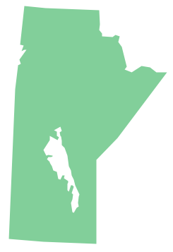
Geo Map - Canada - Manitoba
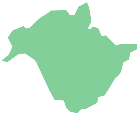
Geo Map - Canada - Alberta
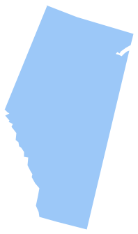
Geo Map - Canada - New Brunswick
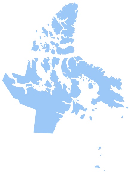
Geo Map - Canada - Nunavut
Geo Map - Canada - Yukon

Geo Map - Canada - Northwest Territories
Geo Map - Canada - British Columbia

Geo Map - Canada - Saskatchewan

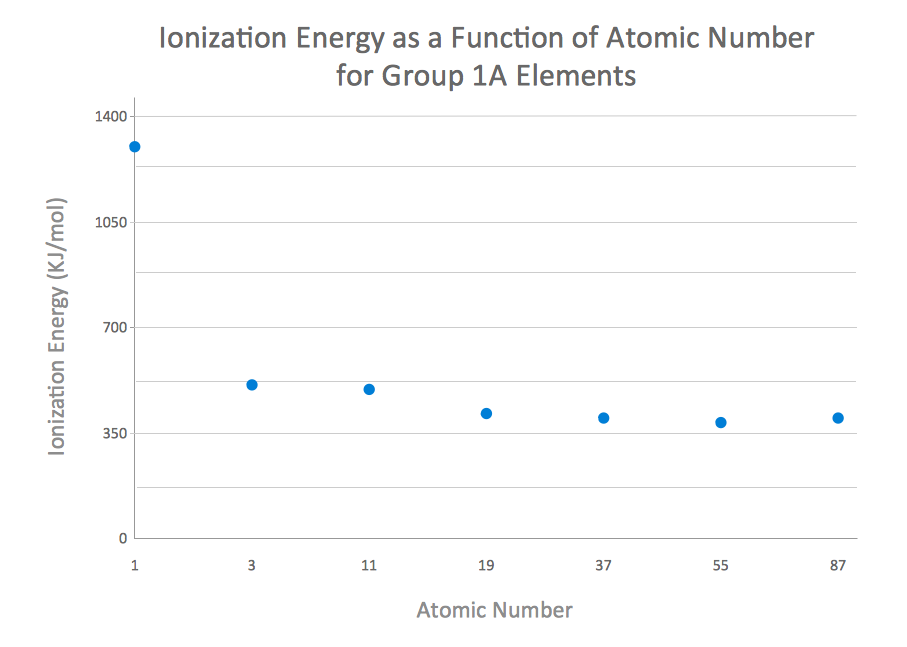
How to Create a Scatter Chart
- Geo Map - Canada - British Columbia | Geo Map - Canada - Prince ...
- Geo Map - Canada - Saskatchewan
- Geo Map - Canada - Nunavut
- Country Shapes Maps
- Canada Map
- Geo Map - USA - Maine | Geo Map - Canada - Quebec | Map of USA ...
- Geo Map - Canada - Yukon
- Map Provinces Canada
- Geo Map - Canada - Ontario
- Alberta Canada Map New Brunswick