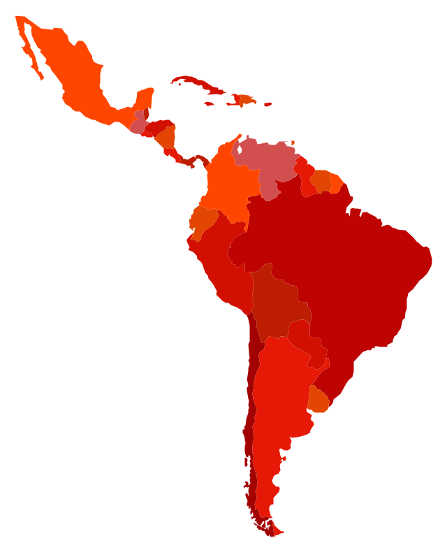
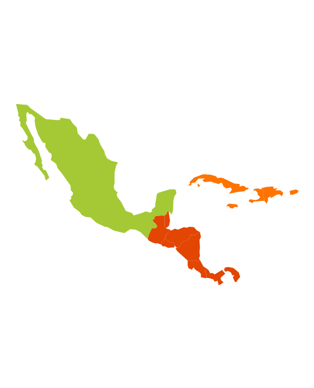
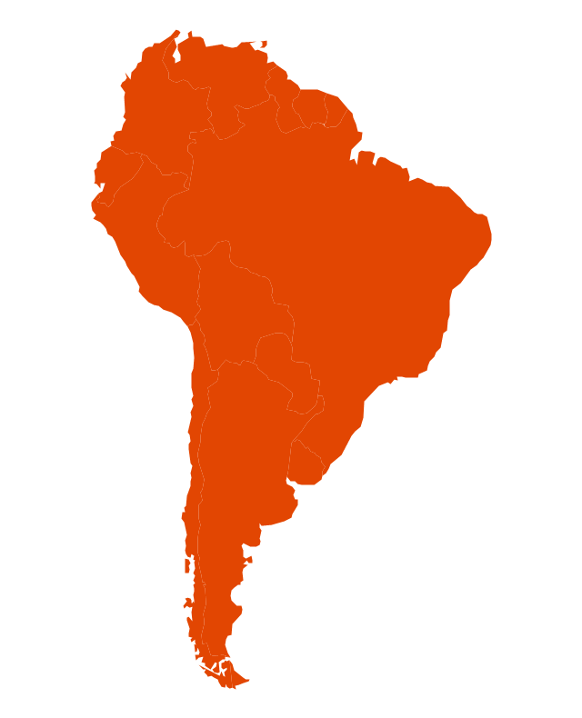
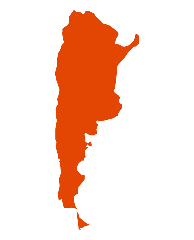
The vector stencils library "Latin America" contains 30 country contours for drawing thematic maps of Latin America.
Use it in your spatial infographics for visual representation of geospatial information, statistics and quantitative data in the ConceptDraw PRO diagramming and vector drawing software extended with the Spatial Infographics solution from the area "What is Infographics" of ConceptDraw Solution Park.
Use it in your spatial infographics for visual representation of geospatial information, statistics and quantitative data in the ConceptDraw PRO diagramming and vector drawing software extended with the Spatial Infographics solution from the area "What is Infographics" of ConceptDraw Solution Park.
- Caribbean Flags Flat
- Caribbean Map
- Draw A Map Of Caribbean And Latin America
- Latin America Caribbean Map Vector
- Latin America - Vector stencils library
- Us Map Vector South America Caribbean And Puerto Rico
- Caribbean Flags
- Draw Map Of Latin America And Caribbean
- Latin America Caribbean Infographic Template
