Geo Map - Asia
ConceptDraw is idea to draw the geological maps of Asia from the pre-designed vector geo map shapes. Use Geo Map Asia to draw thematic maps, geospatial infographics and vector illustrations for your business documents, presentations and websites.The vector stencils library "Asia" contains 57 Asian state map contours for drawing thematic and political maps of Asia. Use it for visual representation of geospatial information, statistics and quantitative data.
"Asia is the Earth's largest and most populous continent, located primarily in the eastern and northern hemispheres. ... Countries: 49 (and 5 disputed)." [Asia. Wikipedia]
The state map contours example "Asia - Vector stencils library" was created using the ConceptDraw PRO diagramming and vector drawing software extended with the Continent Maps solution from the Maps area of ConceptDraw Solution Park.
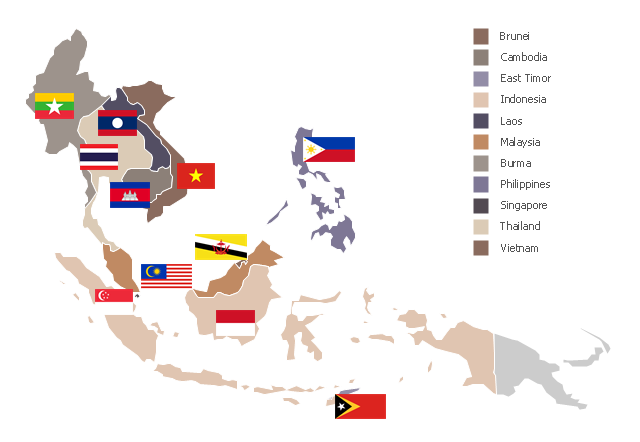
"Southeast Asia or Southeastern Asia is a subregion of Asia, consisting of the countries that are geographically south of China, east of India, west of New Guinea and north of Australia. The region lies near the intersection of geological plates, with heavy seismic and volcanic activity. Southeast Asia consists of two geographic regions:
(1) Maritime Southeast Asia, comprising Philippines, East Malaysia, East Timor, Indonesia, Brunei, and Singapore.
(2) Mainland Southeast Asia, also known as Indochina, comprising Cambodia, Laos, Myanmar (Burma), Thailand, West Malaysia and Vietnam." [Southeast Asia. Wikipedia]
This political map sample was redesigned from the Wikimedia Commons file: Suresteasia324.jpg. [commons.wikimedia.org/ wiki/ File:Suresteasia324.jpg]
This file is licensed under the Creative Commons Attribution-Share Alike 3.0 Unported license. [creativecommons.org/ licenses/ by-sa/ 3.0/ deed.en]
The example "Southeast Asia - Political map" was created using the ConceptDraw PRO diagramming and vector drawing software extended with the Continent Maps solution from the Maps area of ConceptDraw Solution Park.
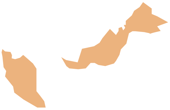
Geo Map - Asia - Malaysia
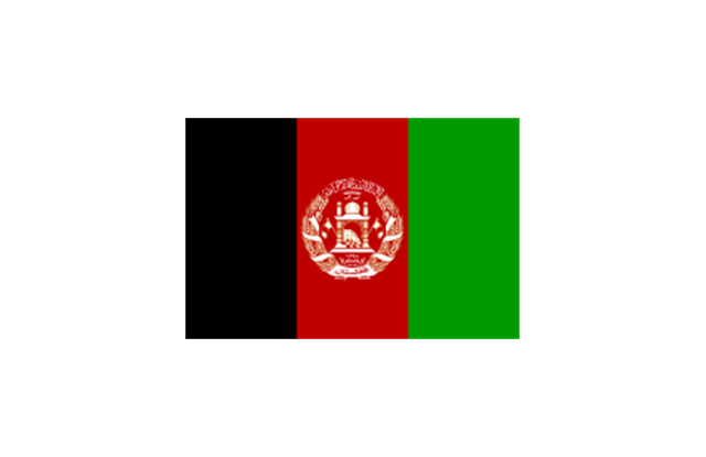
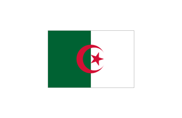
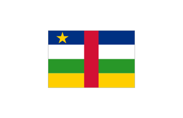
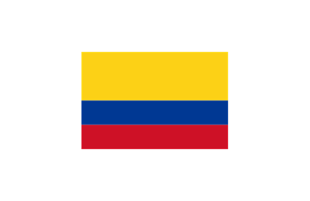
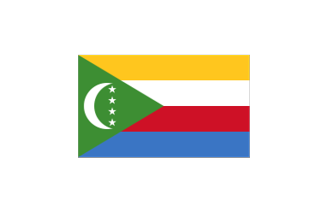
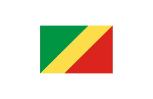
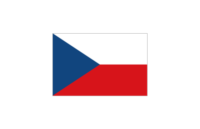
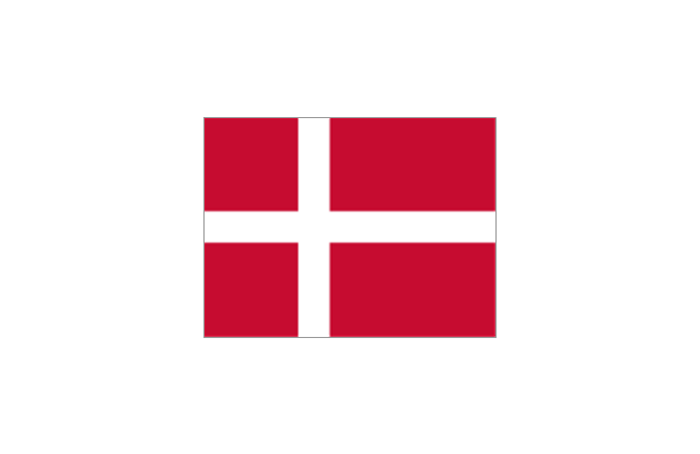
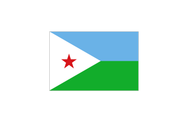
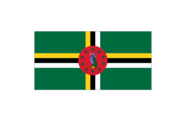
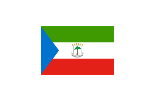
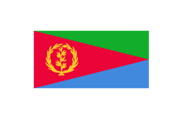
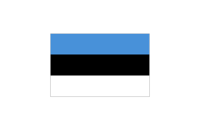
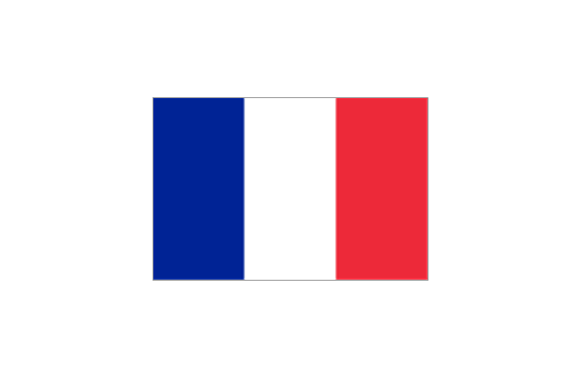
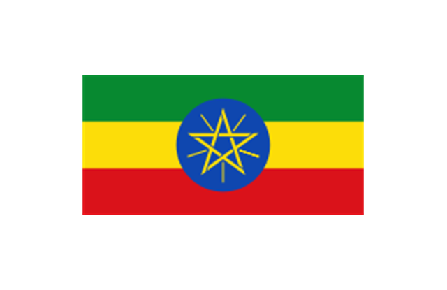
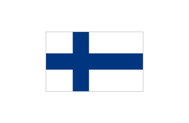
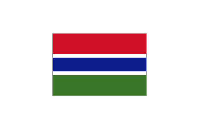
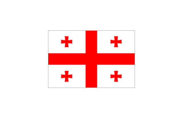
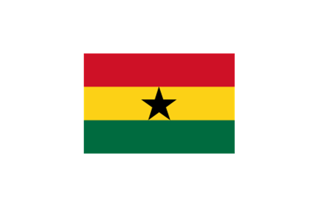
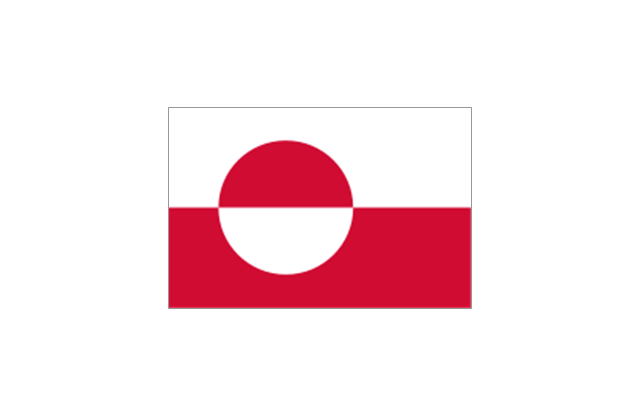
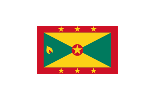
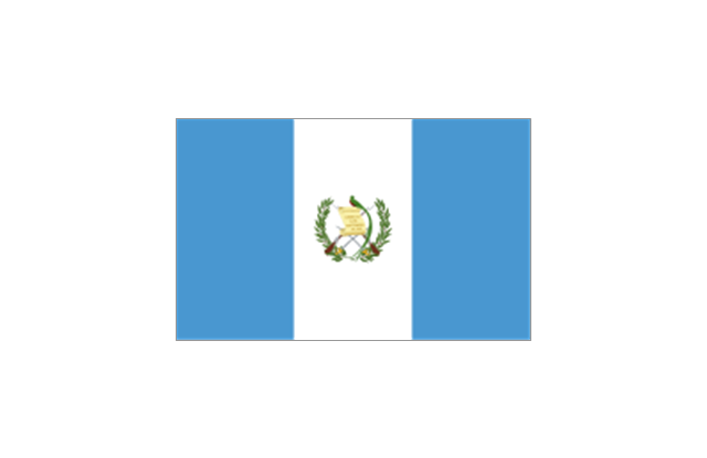
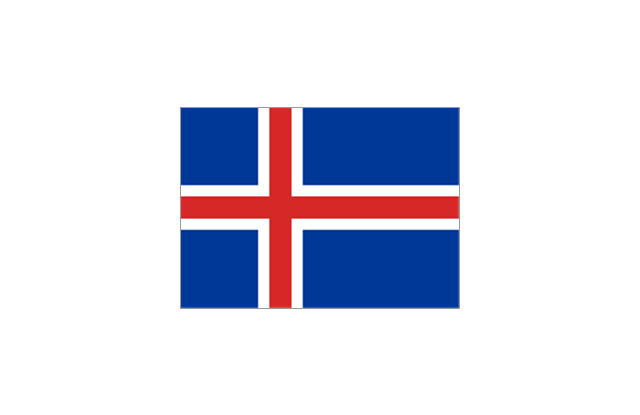
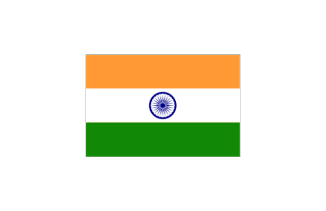
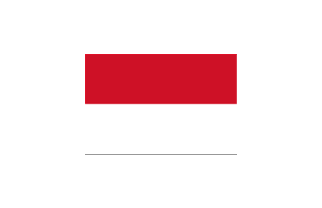
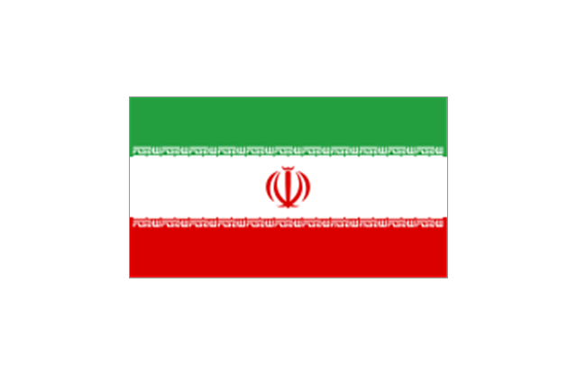
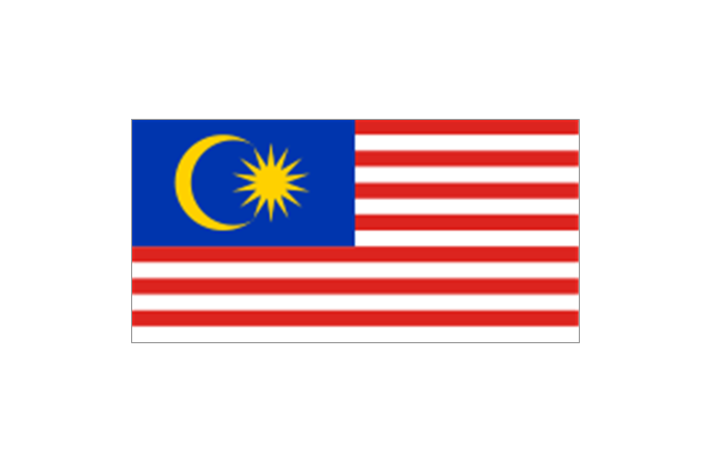
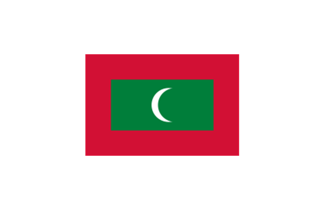
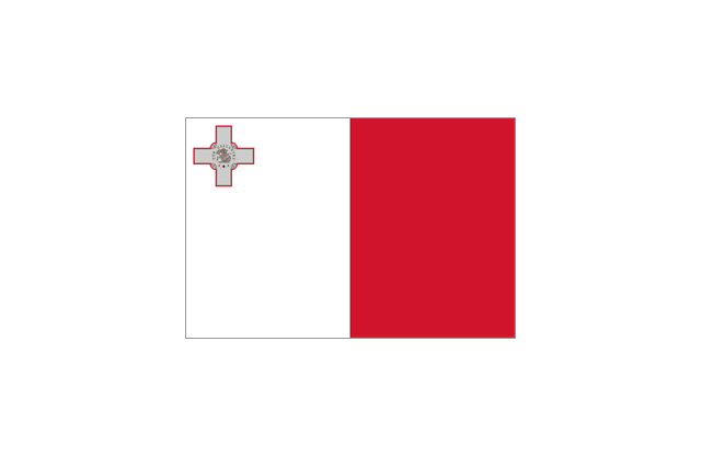
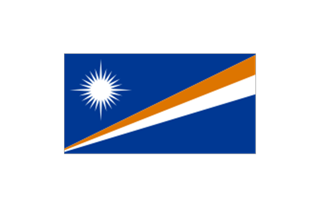
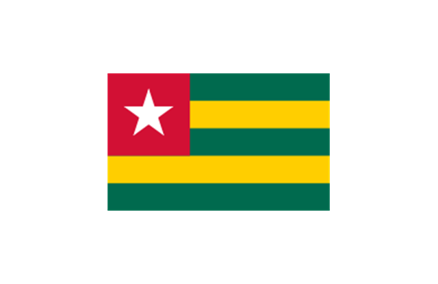
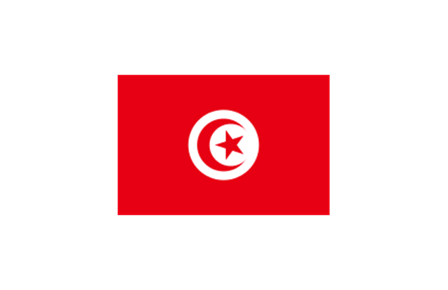
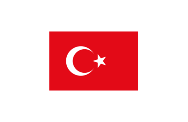
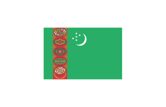
Malaysia is a federal constitutional monarchy in Southeast Asia. The vector stencils library Malaysia contains contours for ConceptDraw PRO diagramming and vector drawing software. This library is contained in the Continent Maps solution from Maps area of ConceptDraw Solution Park.The stencils library "Flags" contains 204 clipart images of state flags.
"There are two separate meanings for the term state flag in vexillology - the flag of the government of a sovereign state, and the flag of an individual subnational state, such as a U.S. state, or a Russian oblast. ...
A state flag is a variant of a national flag (or occasionally a completely different design) specifically designated and restricted by law or custom (theoretically or actually) to use by a country's government or its agencies. For this reason they are sometimes referred to as government flags. In many countries the state flag and the civil flag (as flown by the general public) are identical, but in other countries, notably those in Latin America, central Europe, and Scandinavia, the state flag is a more complex version of the national flag, often featuring the national coat of arms or some other emblem as part of the design. Scandinavian countries also use swallowtailed state flags, to further differentiate them from civil flags.
In addition, some countries have state ensigns, separate flags for use by non-military government ships such as guard vessels. For example, government ships in the United Kingdom fly the blue ensign." [State flag. Wikipedia]
The clip art example "Flags - Stencils library" was created using the ConceptDraw PRO diagramming and vector drawing software extended with the Continent Maps solution from the Maps area of ConceptDraw Solution Park.
www.conceptdraw.com/ solution-park/ maps-continent
- Asia - Vector stencils library | Geo Map - Asia | Khazar Sea Cartoon
- Cartoon Map Of Southeast Asia
- Thailand Map Cartoon Png
- South East Asia Map Cartoon
- Cartoon Map Of Southeast Asia Png
- Iran Map Cartoon Png
- Geography - Vector stencils library | Geo Map - USA - Michigan ...
- Geo Map - Asia | Geo Map - Asia - Myanmar | Geo Map - Asia ...
- Geo Map - Asia - Thailand | Asia - Vector stencils library | Geo Map ...
- Geo Map - Asia - Sri Lanka | Geo Map - Asia - Myanmar | Geo Map ...
- Animals - Vector stencils library | Funny animals - Vector stencils ...
- Southeast Asia - Political map
- Geo Map - Asia - Indonesia | Geo Map - Asia - Myanmar | Geo Map ...
- Southeast Asia Map
- Iran Map Icon Pnf
- Continents Map | South Asia - Political map | Geo Map - Asia | South ...
- South And Southeast Asia Map
- Thailand Map Vector Png
- Plate Png Cartoon
- East Asia - Political map


-asia---vector-stencils-library.png--diagram-flowchart-example.png)


-asia---vector-stencils-library.png--diagram-flowchart-example.png)


