Map of USA
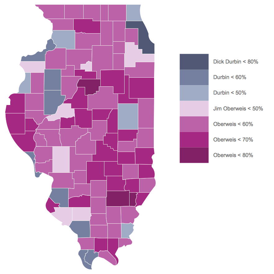
It is impossible to imagine modern life and science without maps, they surround us anywhere, they are used in geography, history, politics, economics, and many other fields of science. ConceptDraw PRO diagramming and vector drawing software offers the USA Maps Solution from the Maps Area of ConceptDraw Solution Park with its collection of samples and libraries for easy drawing the Map of USA.
 USA Maps
Use the USA Maps solution to create a map of USA, a US interstate map, printable US maps, US maps with cities and US maps with capitals. Create a complete USA states map.
Map of USA States
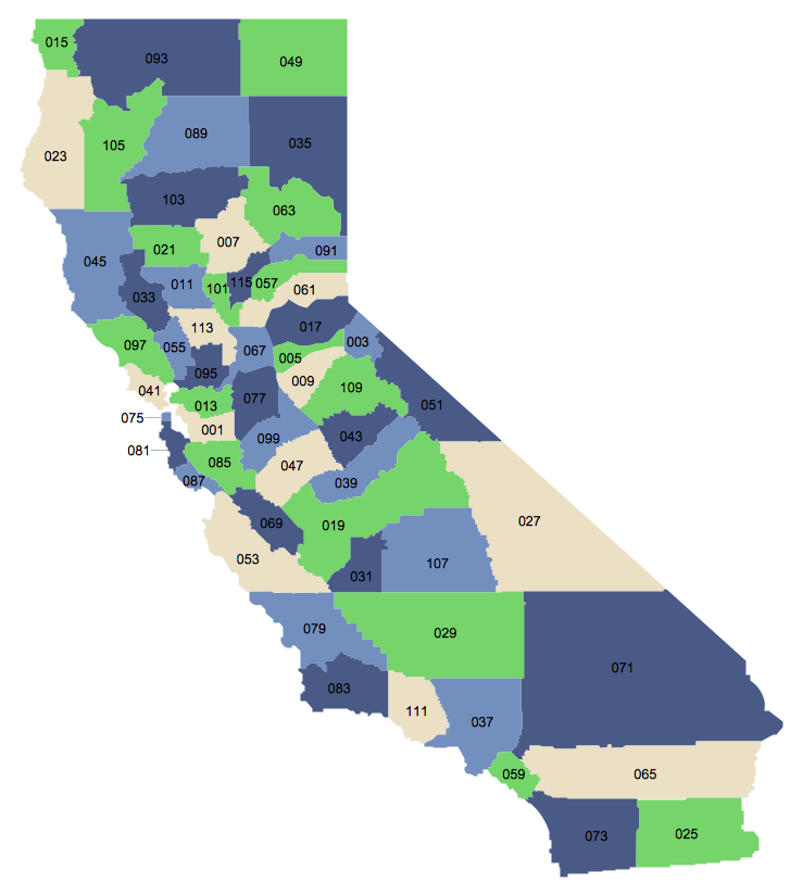
How to design USA map fast and easy? It is convenient to use special software. ConceptDraw PRO diagramming and vector drawing software includes the USA Maps Solution which was specially developed to make easier drawing process of USA Maps, Map of USA States, various USA thematic maps and cartograms.USA Map States
ConceptDraw PRO diagramming and vector drawing software offers the unique USA Maps Solution from the Maps Area of ConceptDraw Solution Park which is indispensable for easy drawing professional looking: map of USA, USA map states, US interstate map,US map with cities, and many other kinds of USA maps.
USA Maps
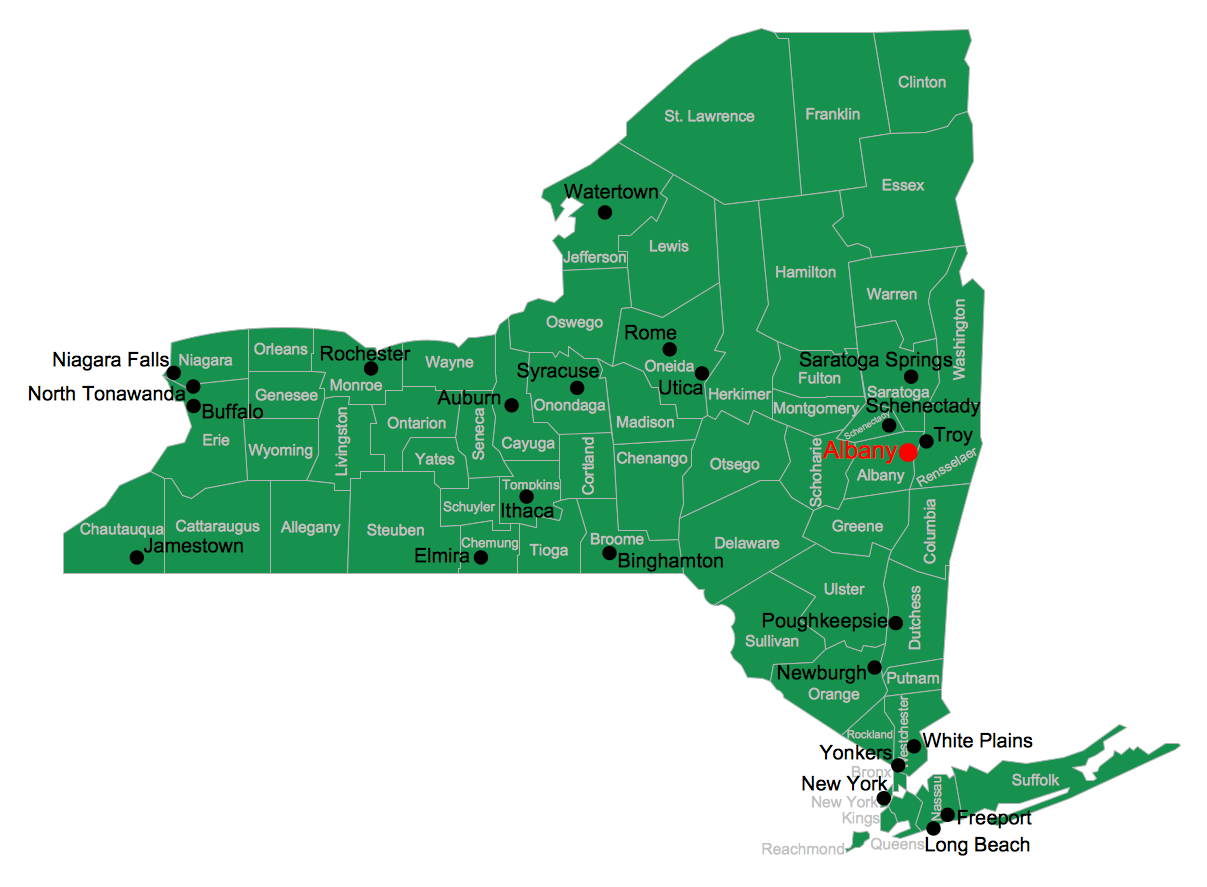
ConceptDraw PRO diagramming and vector drawing software enhanced with USA Maps Solution from the Maps Area of ConceptDraw Solution Park is the best for drawing various kinds of USA Maps, thematic maps of any detailing, pictorial map of USA states.USA Map
Usually designing of maps, including the USA Map is a quite complex, long and labour-intensive process. But now we have an excellent possibility to make it easier with ConceptDraw PRO diagramming and vector drawing software extended with powerful USA Maps Solution from the Maps Area of ConceptDraw Solution Park.Geo Map - USA - Wisconsin
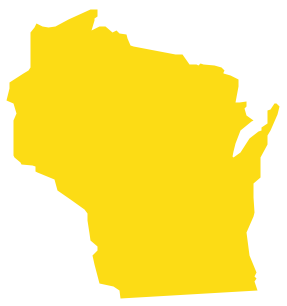
Wisconsin is a U.S. state located in the north-central United States, in the Midwest and Great Lakes regions.The vector stencils library Wisconsin contains contours for ConceptDraw PRO diagramming and vector drawing software. This library is contained in the Continent Maps solution from Maps area of ConceptDraw Solution Park.
Geo Map - Europe
ConceptDraw PRO is idea to draw the geological maps of Europe from the pre-designed vector geo map shapes.Geo Map - USA - Oklahoma
Oklahom is a state located in the South Central United States.The vector stencils library Oklahoma contains contours for ConceptDraw PRO diagramming and vector drawing software. This library is contained in the Continent Maps solution from Maps area of ConceptDraw Solution Park.
Geo Map - Europe - Slovakia
The vector stencils library Slovakia contains contours for ConceptDraw PRO diagramming and vector drawing software. This library is contained in the Continent Maps solution from Maps area of ConceptDraw Solution Park.Geo Map - Europe - Slovenia
The vector stencils library Slovenia contains contours for ConceptDraw PRO diagramming and vector drawing software. This library is contained in the Continent Maps solution from Maps area of ConceptDraw Solution Park.Geo Map - Asia - Turkmenistan
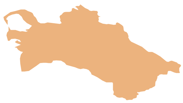
Turkmenistan, formerly also known as Turkmenia, is one of the Turkic states in Central Asia.The vector stencils library Turkmenistan contains contours for ConceptDraw PRO diagramming and vector drawing software. This library is contained in the Continent Maps solution from Maps area of ConceptDraw Solution Park.
Geo Map - Africa - Rwanda
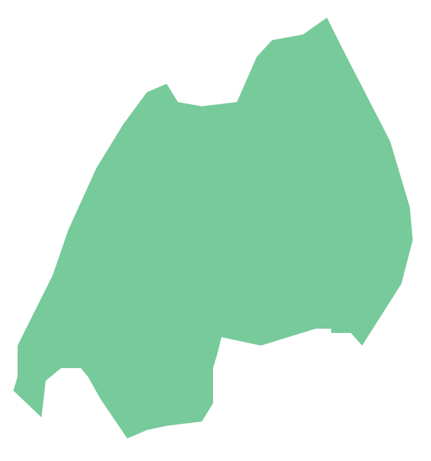
Rwanda, officially the Republic of Rwanda, is a sovereign state in central and east Africa.The vector stencils library Rwanda contains contours for ConceptDraw PRO diagramming and vector drawing software. This library is contained in the Continent Maps solution from Maps area of ConceptDraw Solution Park.
Map of Germany — Thuringia State
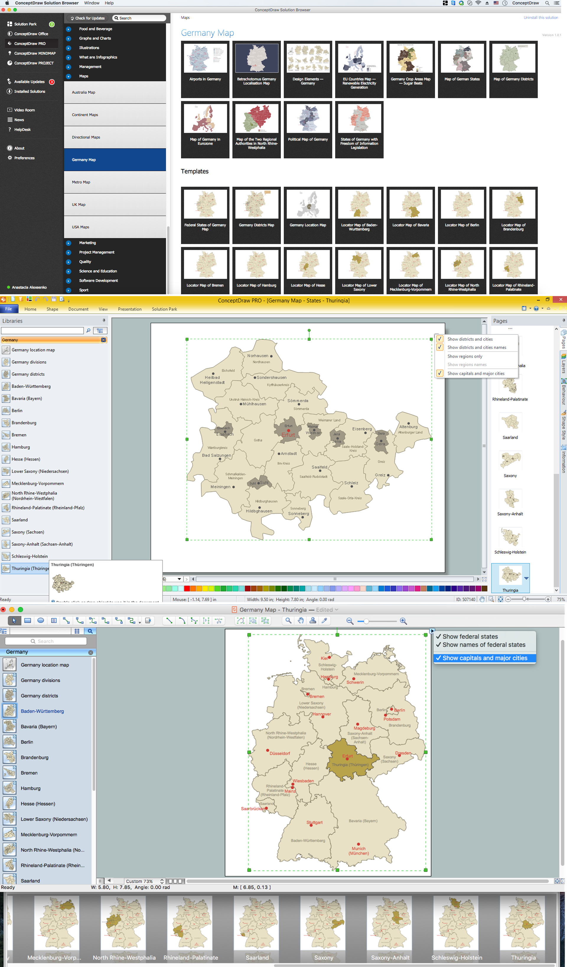
The Free State of Thuringia is a federal state of Germany, located in the central part of the country. The capital city is Erfurt.Despite the fact that the maps surround us everywhere in our life, usually the process of their drawing is sufficienly complex and labor-intensive. But now, thanks to the ConceptDraw PRO diagramming and vector drawing software extended with Germany Map Solution from the Maps Area of ConceptDraw Solution Park, we have the possibility to make easier this process. Design fast and easy your own pictorial maps of Germany, map of Germany with cities, and thematic Germany maps in ConceptDraw PRO!
Geo Map - Africa - Central African Republic
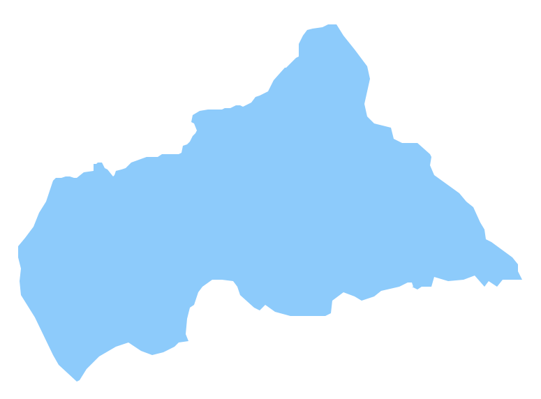
The Central African Republic is a landlocked country in Central Africa. It is bordered by Chad in the north, Sudan in the northeast, South Sudan in the east, the Democratic Republic of the Congo and the Republic of the Congo in the south and Cameroon in the west.The vector stencils library Central African Republic contains contours for ConceptDraw PRO diagramming and vector drawing software. This library is contained in the Continent Maps solution from Maps area of ConceptDraw Solution Park.
- Telecommunication Network Diagrams | Telecommunication ...
- How To Do A Mind Map In PowerPoint | Concept Maps | Positioning ...
- How to Create Presentation of Your Project Gantt Chart | Chart ...
- How To Do A Mind Map In PowerPoint | How to Make a Mind Map in ...
- Process Flow Powerpoint Presentations Samples
- Maps of Germany | Vector Map of Germany | Germany Map | Easy ...
- Presentation Clipart | Business People Clipart | How to Create a ...
- How to Exchange ConceptDraw MINDMAP Files with Mindjet ...
- Design elements - Electrical and telecom | Electrical and Telecom ...
- How to Create a Map of Germany Using ConceptDraw PRO ...
- Diagramming tool - Amazon Web Services and Cloud Computing ...
- Bubble diagrams in Landscape Design with ConceptDraw PRO ...
- How to Create a Social Media DFD Flowchart | Process Flowchart ...
- Circle-spoke diagram - Proximity based marketing | Circle-spoke ...
- Circle-spoke diagram - Vector stencils library | Design elements ...
- Network Diagram Examples | Computer Network Diagrams | Bus ...
- Design elements - Analog and digital logic | External digital devices ...
- Electrical Drawing Software | Electrical Diagram Software | Electrical ...
- How to Draw a Security and Access Floor Plan | How To Create ...
- UML component diagram - Start server | Diagramming Software for ...


