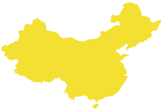
Geo Map - Asia - China
China, officially the People's Republic of China, is a sovereign state located in East Asia. The vector stencils library China contains contours for ConceptDraw PRO diagramming and vector drawing software. This library is contained in the Continent Maps solution from Maps area of ConceptDraw Solution Park.Geo Map - Asia - Philippines
The Philippines, officially known as the Republic of the Philippines, is a sovereign island country in Southeast Asia situated in the western Pacific Ocean. Use the Continent Maps solution and Philippines library to draw thematic maps, geospatial infographics and vector illustrations. This solution to help visualize the business and thematic information connected with geographic areas, locations or customs; for your business documents, presentations and websites.Geo Map - South America - Mexico
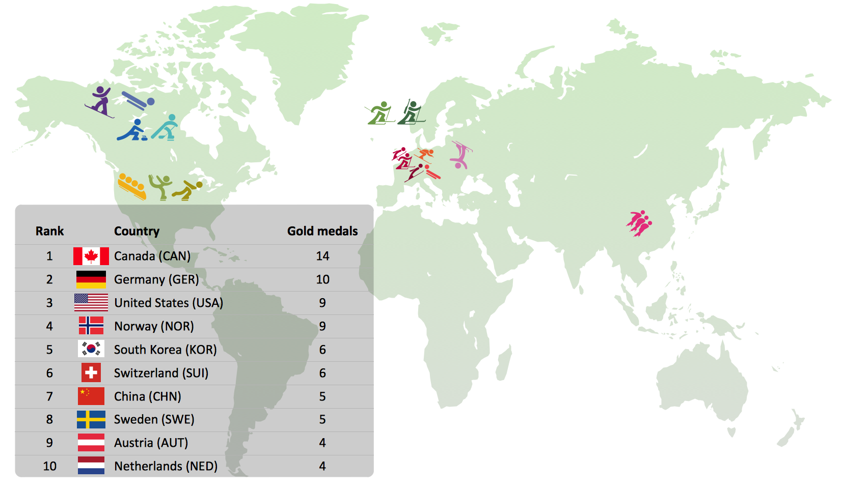
Mexico, officially the United Mexican States, is a federal republic in North America. The vector stencils library Mexico contains contours for ConceptDraw PRO diagramming and vector drawing software. This library is contained in the Continent Maps solution from Maps area of ConceptDraw Solution Park.Winter Sports Vector Clipart. Medal Map. Spatial Infographics
Tracking Olympic results in visual format is the most modern way to deliver statistics to a broad audience. This is a good example of an illustrated table you may easily modify, print, or publish on web from ConceptDraw Winter Sports solution .Geo Map - Asia - Vietnam
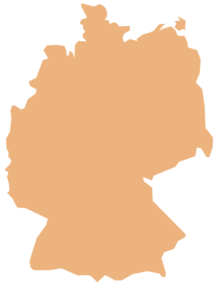
Vietnam, officially the Socialist Republic of Vietnam, is the easternmost country on the Indochina Peninsula in Southeast Asia. The vector stencils library Vietnam contains contours for ConceptDraw PRO diagramming and vector drawing software. This library is contained in the Continent Maps solution from Maps area of ConceptDraw Solution Park.Geo Map - Europe - Germany
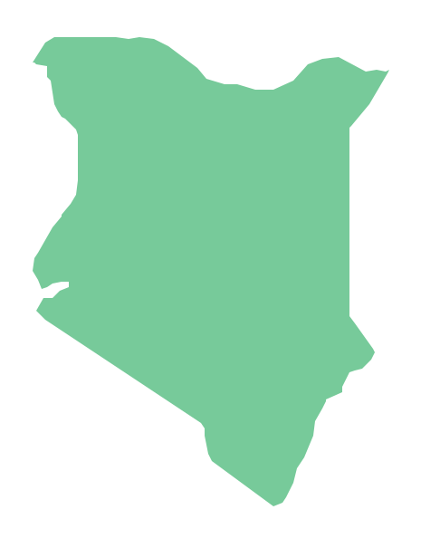
The vector stencils library Germany contains contours for ConceptDraw PRO diagramming and vector drawing software. This library is contained in the Continent Maps solution from Maps area of ConceptDraw Solution Park.Geo Map - Africa - Kenya
Kenya, officially the Republic of Kenya, is a sovereign state in the African Great Lakes region of East Africa. The vector stencils library Kenya contains contours for ConceptDraw PRO diagramming and vector drawing software. This library is contained in the Continent Maps solution from Maps area of ConceptDraw Solution Park.Geo Map - USA - Tennesse
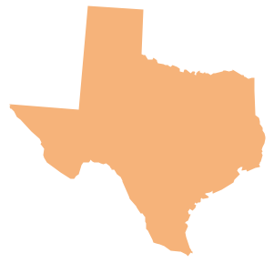
Tennessee is a U.S. state located in the Southeastern United States. The vector stencils library Tennesse contains contours for ConceptDraw PRO diagramming and vector drawing software. This library is contained in the Continent Maps solution from Maps area of ConceptDraw Solution Park.Geo Map - USA - Mexico
Mexico, officially the United Mexican States, is a federal republic in North America. The vector stencils library Mexico contains contours for ConceptDraw PRO diagramming and vector drawing software. This library is contained in the Continent Maps solution from Maps area of ConceptDraw Solution Park.Geo Map - Europe - Slovakia
The vector stencils library Slovakia contains contours for ConceptDraw PRO diagramming and vector drawing software. This library is contained in the Continent Maps solution from Maps area of ConceptDraw Solution Park.Geo Map - Australia - Victoria
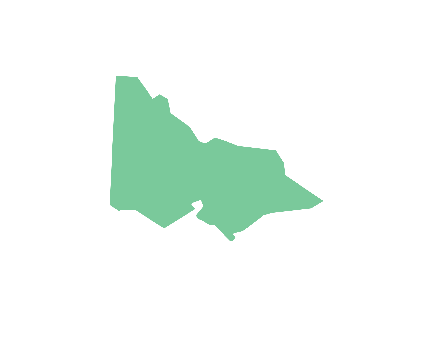
Victoria (abbreviated as Vic.) is a state in the south-east of Australia. Victoria is Australia's most densely populated state and its second-most populous state overall.Geo Map - Europe - Croatia
The vector stencils library Croatia contains contours for ConceptDraw PRO diagramming and vector drawing software. This library is contained in the Continent Maps solution from Maps area of ConceptDraw Solution Park.Geo Map - Europe - Romania
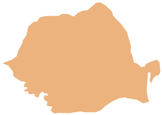
The vector stencils library Romania contains contours for ConceptDraw PRO diagramming and vector drawing software. This library is contained in the Continent Maps solution from Maps area of ConceptDraw Solution Park.Geo Map - Canada - Saskatchewan
Saskatchewan is a prairie province in Canada, which has a total area of 651,900 square kilometres (251,700 sq mi) and a land area of 592,534 square kilometres (228,800 sq mi), the remainder being water area (covered by lakes/ponds, reservoirs and rivers). The vector stencils library Saskatchewan contains contours for ConceptDraw PRO diagramming and vector drawing software. This library is contained in the Continent Maps solution from Maps area of ConceptDraw Solution Park.Geo Map - South America - El Salvador
El Salvador, literally "Republic of The Savior", is the smallest and the most densely populated country in Central America. The vector stencils library El Salvador contains contours for ConceptDraw PRO diagramming and vector drawing software. This library is contained in the Continent Maps solution from Maps area of ConceptDraw Solution Park.- City Streets Clipart
- City Road Map With Traffic Signals Clipart
- City Map Location Clipart
- City Map With Symbols Clipart
- 3D pictorial road map | How to draw Metro Map style infographics ...
- Infographic software: the sample of New York City Subway map ...
- Maps of Germany With Cities | Infographic software: the sample of ...
- Winter Sports Vector Clipart . Medal Map . Spatial Infographics | How ...
- Philippines Map Clipart Png
- Clipart School | Geo Map - USA - Wisconsin | School and Training ...
- Aerospace and Transport | Metro Map | Entity-Relationship Diagram ...
- Aerospace and Transport | Process Flowchart | Metro Map | Dfd For ...
- Street Map Clipart
- Design elements - Architecture | How to draw Metro Map style ...
- Aerospace and Transport | Metro Map | Local area network (LAN ...
- Geo Map - Europe - Iceland | Geography - Vector stencils library ...
- Directional Maps | Maps | Map Directions | Road Maps
- Mind Map Project Road Map
- Advertising - Design Elements | 3D pictorial street map | Geo Map ...
- Design elements - Ponds and Fountains | Geo Map - Europe ...
