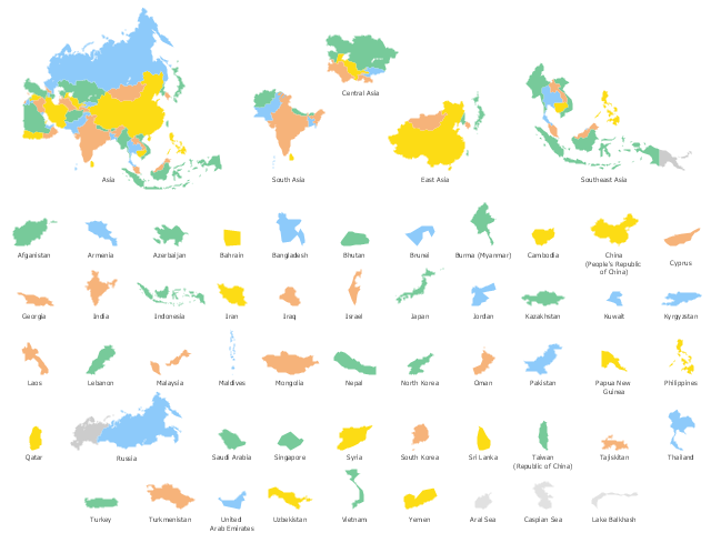
Use the map contours library "Asia" to design thematic maps of Asian countries using the ConceptDraw PRO diagramming and vector drawing software.
"Asia ... is the world's largest and most populous continent, located primarily in the eastern and northern hemispheres. ...
The boundaries of Asia are culturally determined, as there is no clear geographical separation between it and Europe, which together form one continuous landmass called Eurasia. The most commonly accepted boundaries place Asia to the east of the Suez Canal, the Ural River, and the Ural Mountains, and south of the Caucasus Mountains (or the Kuma–Manych Depression) and the Caspian and Black Seas. It is bounded on the east by the Pacific Ocean, on the south by the Indian Ocean and on the north by the Arctic Ocean." [Asia. Wikipedia]
The vector stencils library "Asia" contains 57 map contours: Asia state map contours, Asia political map, sea contours, lake contours.
The map contours example "Design elements - Asia" is included in the Continent Maps solution from the Maps area of ConceptDraw Solution Park.
Types of Map - Overview
ConceptDraw defines some map types, divided into three categories. Every map type has specific shapes and examples.Geo Mapping Software Examples - World Map Outline
An Example world map, showing a simple outline of world map. The world map is vector and can be edited or export to svg format.Geo Map Software
Geo Map Software - Full Geographic Reach of Your Business with Geo Map Shapes.Map Software
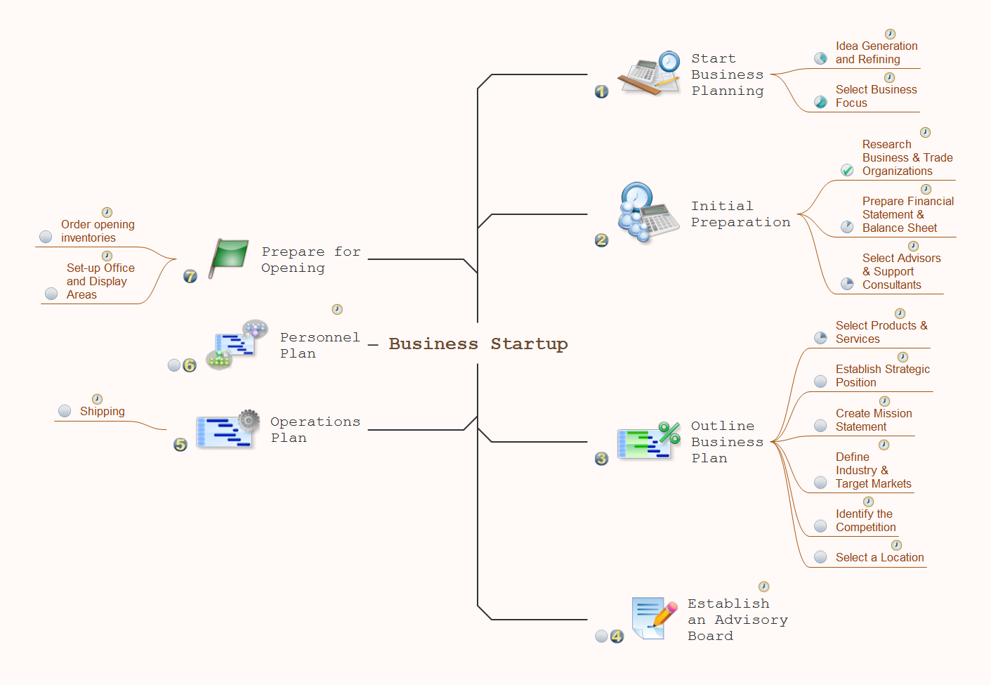
Create maps, flags, and more with ConceptDrawHow To Do A Mind Map In PowerPoint
ConceptDraw MINDMAP - an excellent tool for exporting mind maps to PowerPoint to visualize and presenting your project. You can simply generate, change, update your mindmap and then make a presentation in PowerPoint.Geo Map - USA - Minnesota
Minnesota is a U.S. state in the Midwestern United States. The vector stencils library Minnesota contains contours for ConceptDraw DIAGRAM diagramming and vector drawing software. This library is contained in the Continent Maps solution from Maps area of ConceptDraw Solution Park.The vector stencils library "Asia" contains 57 Asian state map contours for drawing thematic and political maps of Asia. Use it for visual representation of geospatial information, statistics and quantitative data.
"Asia is the Earth's largest and most populous continent, located primarily in the eastern and northern hemispheres. ... Countries: 49 (and 5 disputed)." [Asia. Wikipedia]
The state map contours example "Asia - Vector stencils library" was created using the ConceptDraw PRO diagramming and vector drawing software extended with the Continent Maps solution from the Maps area of ConceptDraw Solution Park.
Emergency Plan
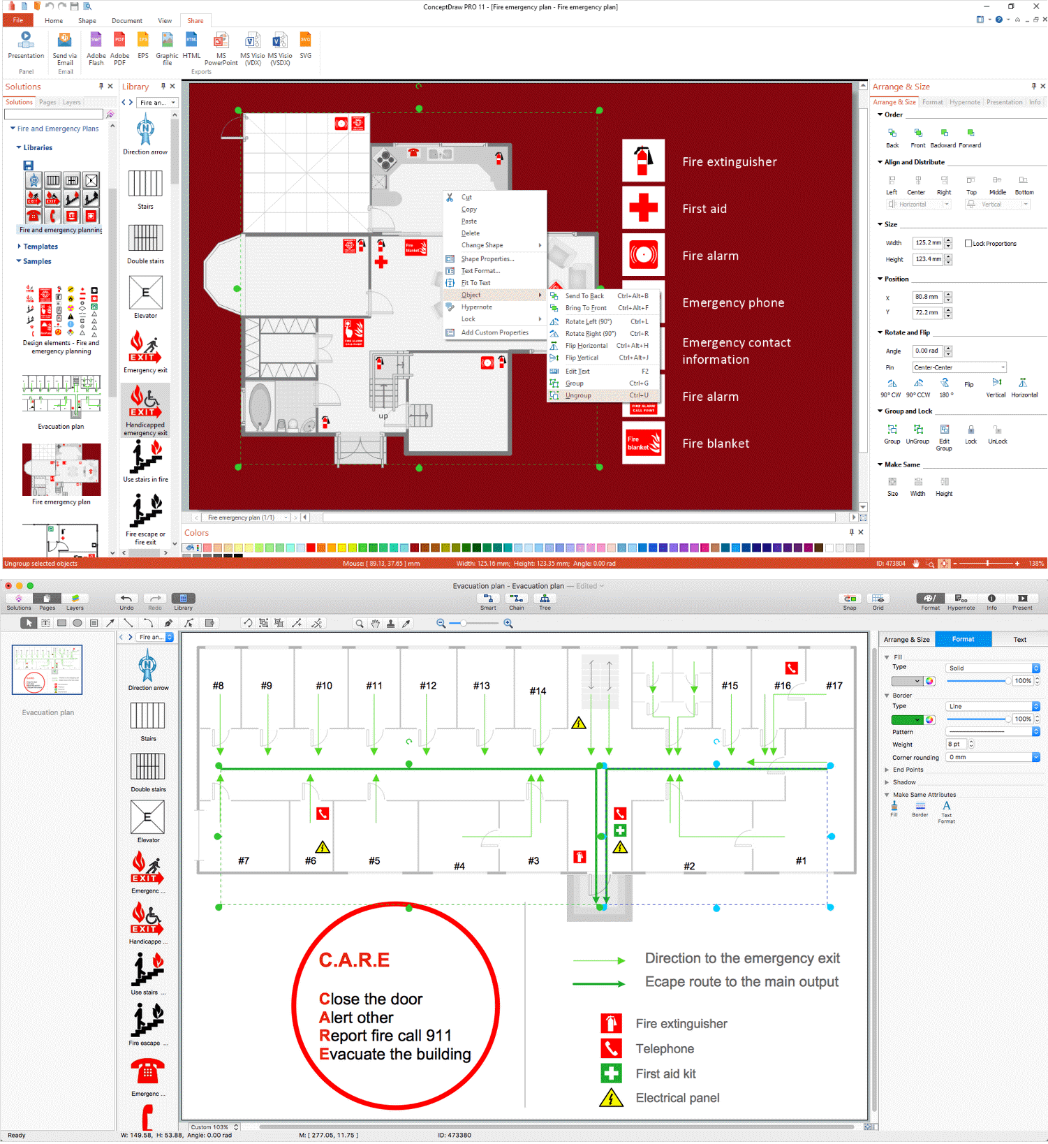
The Fire Emergency Plan illustrates the scheme of the building and location of the main and fire exits for a safe evacuation, and clearly defines directions to them on the plan. Fire Emergency Plans are constructed on the case of unexpected or emergency situations, fires, hazardous leaks, natural disasters, and other sudden events. They must to be obligatorily on the plain sight at every building and on each floor, at living houses and apartments, schools and universities, medical centers, clinics and hospitals, office buildings, banks, cafes, restaurants, and also at all other public buildings and institutions. The Evacuation plans and Emergency Plans preliminary designed in ConceptDraw DIAGRAM software help employees and family members when some emergency events happen and let avoid the accidents and sad consequences, prevent injuries and fatalities, allow reduce damages and speed the work resumption. Start drawing emergency blueprint from floor bounds, then add the inner walls and doors, and finally use bright arrows to visually show evacuation directions to fire exits. ConceptDraw is a serious alternative to Visio. It's a desktop based solution aimed at professional designers working in CAD environments. It is also a good option for those who work between Mac and PC because one license is valid for both.
- Design elements - Asia | Geo Map - Asia | Continent Maps | Asian ...
- Continent Maps | Central Asia - Political map | Political map of Asia ...
- Asia map with capitals - Template | Continent Maps | Geo Map - Asia ...
- Geo Map - Asia - Vietnam | Design elements - Asia | Asia - Vector ...
- Geo Map - Asia - Yemen | Design elements - Asia | Asia - Vector ...
- Asian Country Map
- Geo Map - Asia | South Asia - Political map | North Asia - Political ...
- Asia State Maps
- Asia | Continent Maps
- Continent Maps | Geo Map - Asia | Central Asia - Political map ...
- Asian Map Vector
- Geo Map - Asia - Vietnam | North Asia - Political map | Asia - Vector ...
- Geo Map - Asia | Central Asia - Political map | Continent Maps ...
- Website Wireframe | Process Flowchart | Geo Map - Asia - China ...
- Geo Map - World | Geo Map Software | Types of Map - Overview ...
- Geo Mapping Software Examples - World Map Outline | World ...
- Types of Flowchart - Overview | Flowchart Examples and Templates ...
- Geo Map - Asia - Uzbekistan | Asia flags - Stencils library | Asia ...
- Metro Map | Directional Maps | Maps | Maps
- Continent Maps | Geo Map - South America Continent | Continent ...


-asia---vector-stencils-library.png--diagram-flowchart-example.png)


-asia---vector-stencils-library.png--diagram-flowchart-example.png)


