Map Software
Create maps, flags, and more with ConceptDrawDrawing Illustration
The Nature Solution addition to ConceptDraw Solution Park for ConceptDraw PRO includes new libraries that provide a wide range nature objects and it can be used in many areas.Beauty in nature Illustrations and Clipart
Nature solution expands our software possibilities to create beautiful illustrations and cliparts with the new library which contains 17 vector objects.Geo Map - Africa
Africa has 54 fully recognized sovereign states, 9 territories and two de facto independent states with limited or no recognition. Vector design elements library Africa contains country map contours, geographical maps, cartograms and thematic maps for ConceptDraw PRO diagramming and vector drawing software. To help visualize the business and thematic information connected with geographic areas, locations or customs. All ConceptDraw PRO documents are vector graphic files and are available for reviewing, modifying, and converting to a variety of formats: image, HTML, PDF file, MS PowerPoint Presentation, Adobe Flash, MS Visio (.VDX, .VSDX).Drawing a Nature Scene
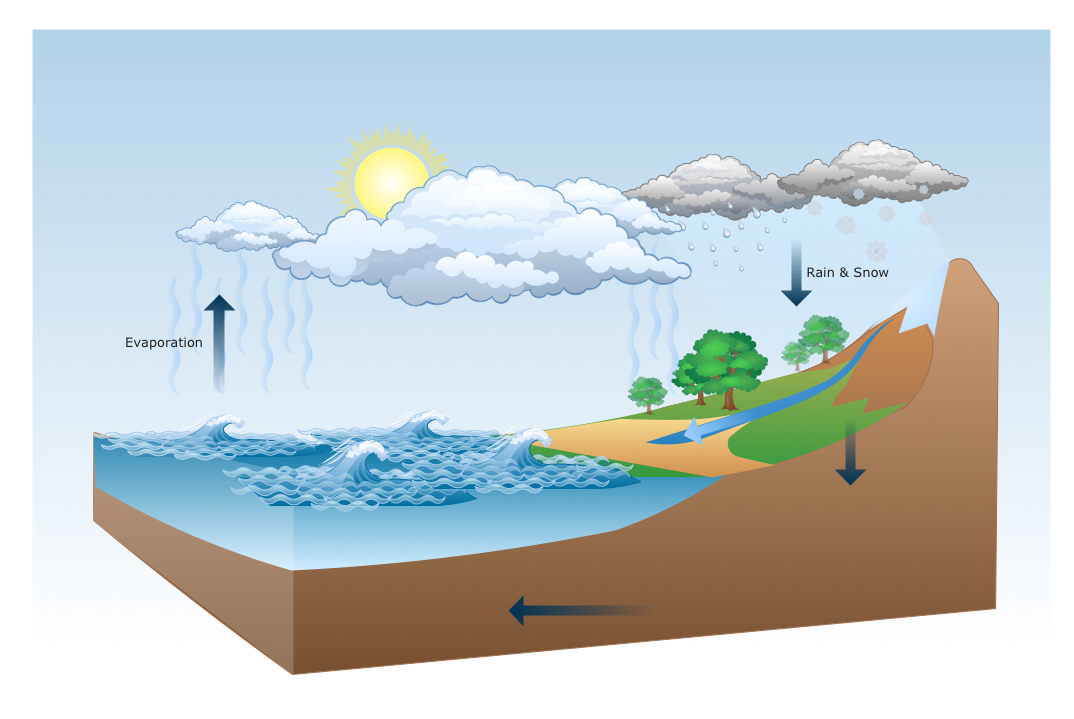
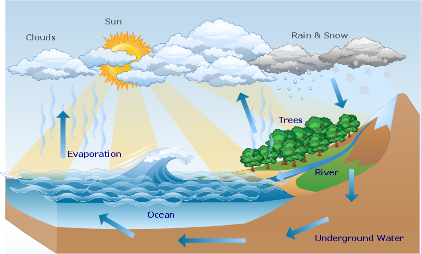
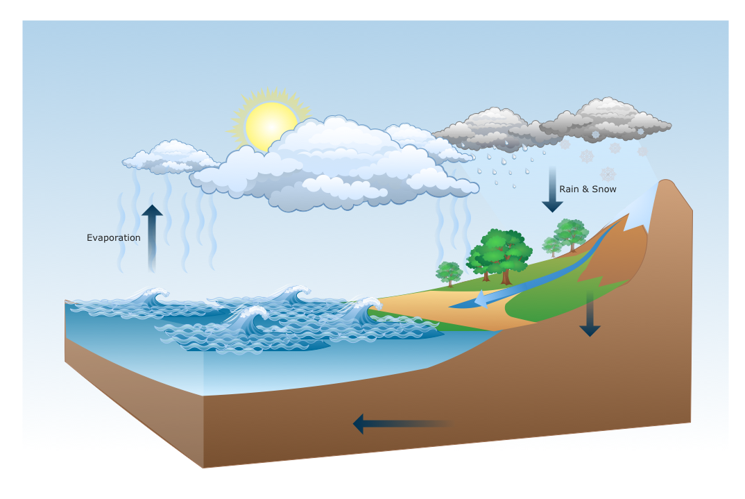
ConceptDraw PRO is a drawings software for creating Nature scenes. Nature solution from ConceptDraw Solution Park expands this software with a new library that contains 17 vector objects and samples illustration files.Geo Map - USA - Arkansas
Arkansas is a state located in the Southern region of the United States. The vector stencils library Arkansas contains contours for ConceptDraw PRO diagramming and vector drawing software. This library is contained in the Continent Maps solution from Maps area of ConceptDraw Solution Park.Map of USA
It is impossible to imagine modern life and science without maps, they surround us anywhere, they are used in geography, history, politics, economics, and many other fields of science. ConceptDraw PRO diagramming and vector drawing software offers the USA Maps Solution from the Maps Area of ConceptDraw Solution Park with its collection of samples and libraries for easy drawing the Map of USA.USA Map
Usually designing of maps, including the USA Map is a quite complex, long and labour-intensive process. But now we have an excellent possibility to make it easier with ConceptDraw PRO diagramming and vector drawing software extended with powerful USA Maps Solution from the Maps Area of ConceptDraw Solution Park.Map of Germany — Saarland State
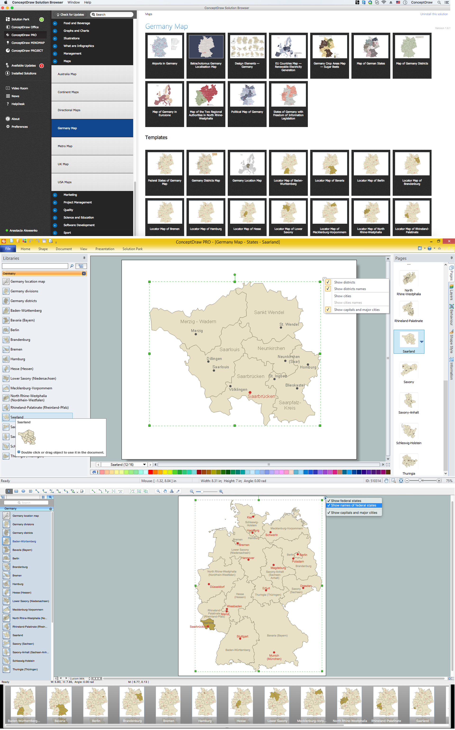
The Saarland is one of the sixteen federal states (or Bundesländer) of Germany. The capital city is Saarbrücken. Despite the fact that the maps surround us everywhere in our life, usually the process of their drawing is sufficienly complex and labor-intensive. But now, thanks to the ConceptDraw PRO diagramming and vector drawing software extended with Germany Map Solution from the Maps Area of ConceptDraw Solution Park, we have the possibility to make easier this process. Design fast and easy your own pictorial maps of Germany, map of Germany with cities, and thematic Germany maps in ConceptDraw PRO!Transportation Infographics
ConceptDraw is a visualization Software for making transportation infographics. Infographics design vector elements and vector graphics which will surely help you in your design process.Beauty of Event-driven Process Chain (EPC) diagrams
Event-Driven Process Chain Diagrams for improvement throughout an organisation. ConceptDraw PRO - software that reduces the time needed to create a business process model.Map of Australia
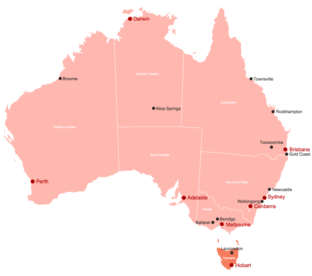
You want design the map of Australia, maps of Australia states or surround islands, maps of Australia self governing mainland territories or extra external territories? Use the indispensable ConceptDraw PRO diagramming and vector drawing software extended with unique Australia Map Solution from the Maps Area of ConceptDraw Solution Park.Value Stream Mapping Symbols
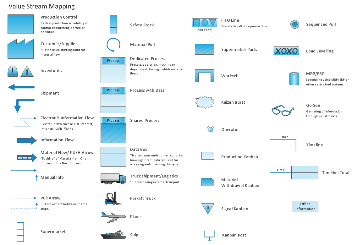
VSM symbols are the best for a production process designing. The entire Value Stream Mapping method uses a graphical representation of the manufacturing process, factors' pros and cons, that all stakeholders can easily understand. Value Stream Mapping is a graphical technique that provides possibilities to improve analysis of a manufacturing process, at the stage of the transferring information or materials that required to deliver a product or service to the customer.- Geography - Vector stencils library | Metropolitan area networks ...
- Geography - Vector stencils library | How To use Landscape Design ...
- Geographical Location
- Geography - Vector stencils library | How to Draw a Map of North ...
- Geography - Vector stencils library | Geo Map - Africa - Cameroon ...
- How to Draw a Natural Landscape | Geography - Vector stencils ...
- Design elements - Geography | Watercraft - Design Elements ...
- Furniture - Vector stencils library | Cisco network topology - Vector ...
- Design elements - Map of US Mountain | Telecommunication ...
- Geo Map - USA - Iowa | Geo Map - Canada - Nova Scotia ...
- Waterfall Bar Chart | Design elements - Geography | Geography ...
- Map Software | Nature | Maps | What Is A Flowchart In Geography
- Nature | Illustration Area | Beauty in nature Illustrations and Clipart ...
- How to Draw a Natural Landscape | Design elements - Geography ...
- Maps And Geography
- Maps Area | ConceptDraw Solution Park | UK Map | Map Of Northern ...
- Geographical Maps
- Geographic Maps
- Germany Map | Maps of Germany With Cities | Map of Germany ...
- How to Draw a Natural Landscape | Drawing a Nature Scene ...

