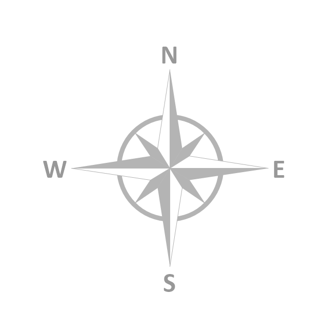
The vector stencils library "Map symbols" contains 10 spatial infographics symbols.
Use these signs and pictograms for drawing road and transit maps in the ConceptDraw PRO diagramming and vector drawing software extended with the Spatial Infographics solution from the area "What is Infographics" of ConceptDraw Solution Park.
Use these signs and pictograms for drawing road and transit maps in the ConceptDraw PRO diagramming and vector drawing software extended with the Spatial Infographics solution from the area "What is Infographics" of ConceptDraw Solution Park.
- Cool North Symbol
- North Sign In Plan
- Value Stream Mapping Symbols | Map symbols - Vector stencils ...
- Map symbols - Vector stencils library | Design elements - Location ...
- Resources and TEAF Work Products for EA Direction, Description ...
- Directional Maps
- Basic Flowchart Symbols and Meaning | Value Stream Mapping ...
- Elements location of a welding symbol | How To use House ...
- UML Diagram of Parking | Design elements - Parking and roads ...
- Design elements - Transport map | Travel and tourism pictograms ...
- Rail transport - Design elements | Road Transport - Design ...
- Directional Maps | Maps and Directions | Maps Driving Directions ...
- Food - Vector stencils library | Transport map - Vector stencils library ...
- Road signs - Vector stencils library | Design elements - Road signs ...
- Food - Vector stencils library | Windows 8 apps - Vector stencils ...
- Block Diagram | Block diagram - Automotive HVAC system | The ...
- Weather - Vector stencils library | Geo Map - USA - Louisiana ...
- Design elements - Sales dashboard | Sales Dashboard - Access ...
- Star Network Topology | Geo Map - Africa - Central African Republic ...
- Hotel locator map | Maps | Rolla USGS Center locator map | Locator ...


