Geo Map - Europe - United Kingdom
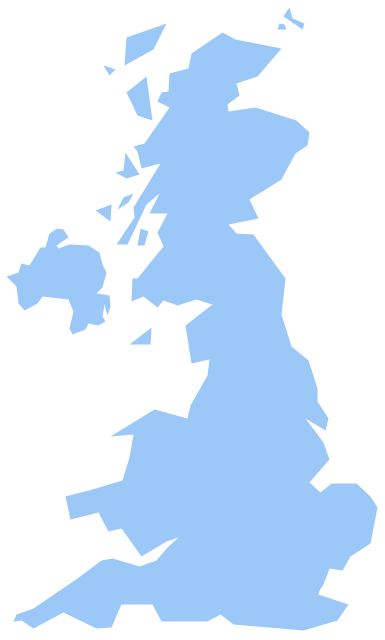
The vector stencils library United Kingdom contains contours for ConceptDraw PRO diagramming and vector drawing software. This library is contained in the Continent Maps solution from Maps area of ConceptDraw Solution Park.Geo Map - Europe - Ireland
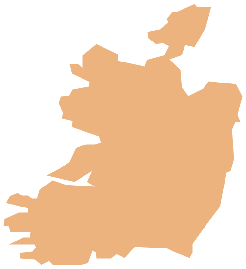
The vector stencils library Ireland contains contours for ConceptDraw PRO diagramming and vector drawing software. This library is contained in the Continent Maps solution from Maps area of ConceptDraw Solution Park.Geo Map - Europe - Portugal
The vector stencils library Portugal contains contours for ConceptDraw PRO diagramming and vector drawing software. This library is contained in the Continent Maps solution from Maps area of ConceptDraw Solution Park.Geo Map - Europe - Croatia
The vector stencils library Croatia contains contours for ConceptDraw PRO diagramming and vector drawing software. This library is contained in the Continent Maps solution from Maps area of ConceptDraw Solution Park.Geo Map - Europe - Bosnia and Herzegovina
The vector stencils library Bosnia and Herzegovina contains contours for ConceptDraw PRO diagramming and vector drawing software. This library is contained in the Continent Maps solution from Maps area of ConceptDraw Solution Park.Geo Map - Europe - Estonia
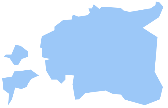
The vector stencils library Estonia contains contours for ConceptDraw PRO diagramming and vector drawing software. This library is contained in the Continent Maps solution from Maps area of ConceptDraw Solution Park.
 Continent Maps
Continent Maps solution extends ConceptDraw PRO software with templates, samples and libraries of vector stencils for drawing the thematic maps of continents, state maps of USA and Australia.
Geo Map of Americas
The Americas are the combined continental landmasses of North America and South America, in the Western Hemisphere. There are 35 sovereign states in the Americas.ConceptDraw is idea to draw the geological maps of America from the pre-designed vector geo map shapes and vector images map of america.
Use Continent Maps solution from the Maps area of ConceptDraw Solution Park to draw thematic maps, geospatial infographics and vector illustrations for your business documents, presentations and websites.
 Spatial Infographics
Spatial infographics solution extends ConceptDraw PRO software with infographic samples, map templates and vector stencils libraries with design elements for drawing spatial information graphics.
Geo Map - Canada - Manitoba
Manitoba is a Canadian prairie province.The vector stencils library Manitoba contains contours for ConceptDraw PRO diagramming and vector drawing software. This library is contained in the Continent Maps solution from Maps area of ConceptDraw Solution Park.
- Design elements - Europe | Spatial infographics Design Elements ...
- Spatial infographics Design Elements: Continental Map | Map ...
- Political map of Europe | Tools to Create Your Own Infographics ...
- Maps | Who in the world eats chocolate? | Design elements ...
- Tools to Create Your Own Infographics | Spatial infographics Design ...
- Europe map template | Map Infographic Creator | European ...
- Spatial infographics Design Elements: Continental Map | Spatial ...
- Map Infographic Creator | Spatial infographics Design Elements ...
- EU 28: Candidate countries map | Geo Map - Australia - New ...
- Geo Map - Europe - Serbia
- Continent Maps | Spatial infographics Design Elements: Location ...
- Continent Maps | Spatial infographics Design Elements: Location ...
- Geo Map - Europe - Conceptdraw.com
- Geo Map - Europe
- Maps | Geo Map - Australia | Geo Map - Europe - Germany |
- Map Infographic Creator | Visualization Spatial Data Using Thematic ...
- Maps | Spatial Infographics | Map Infographic Creator |
- Infographic software: the sample of New York City Subway map ...
- How to draw Metro Map style infographics? Moscow, New York, Los ...
- Geo Map - Europe
