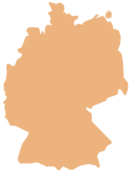
Geo Map - Europe - Germany
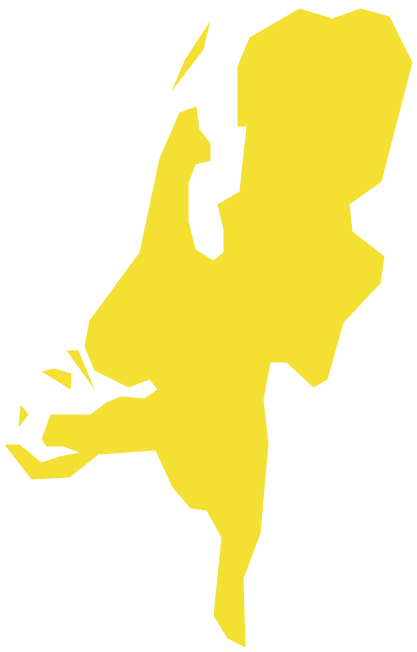
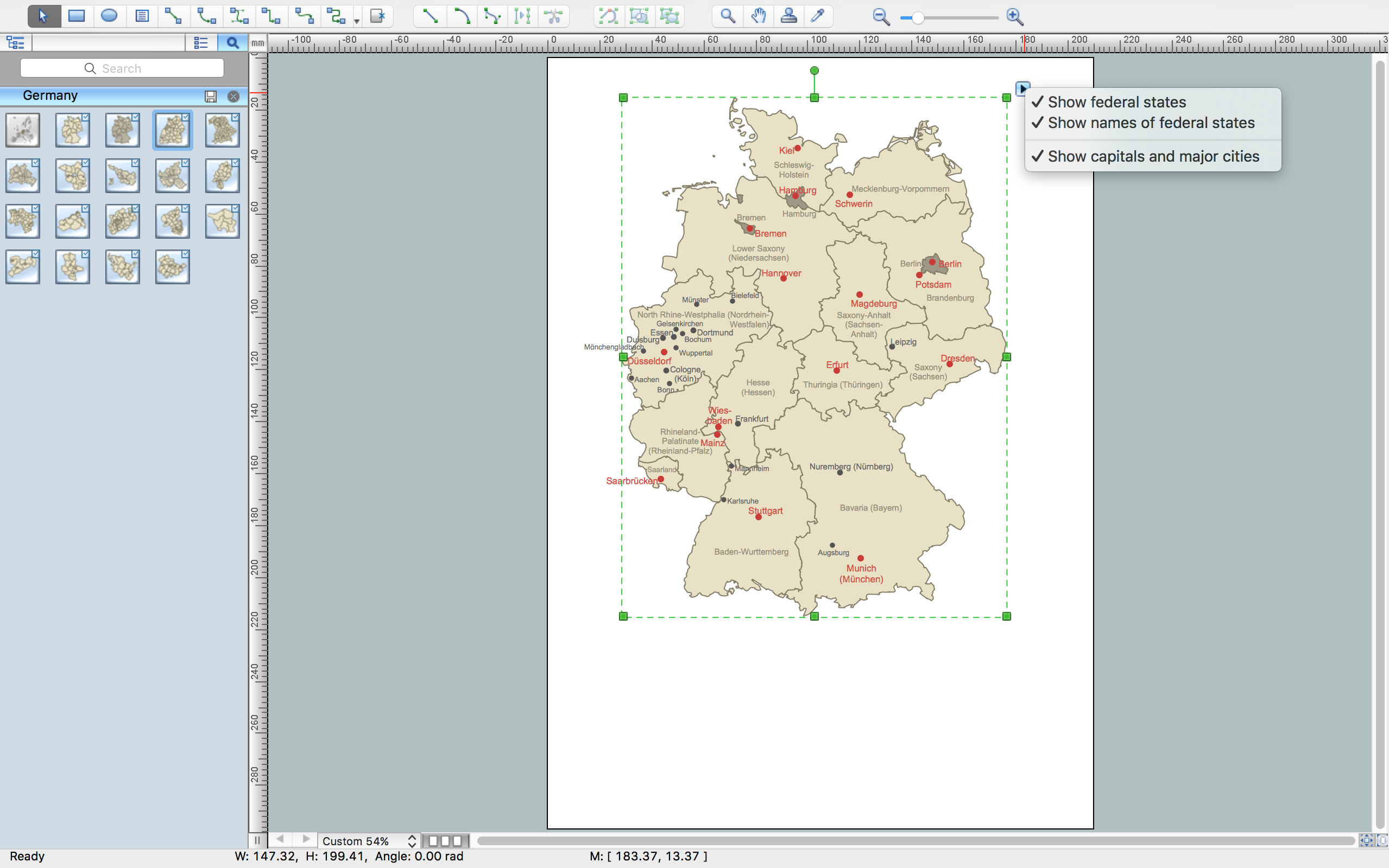
The vector stencils library Germany contains contours for ConceptDraw PRO diagramming and vector drawing software. This library is contained in the Continent Maps solution from Maps area of ConceptDraw Solution Park.Geo Map - Europe - Netherlands
The vector stencils library Netherlands contains contours for ConceptDraw PRO diagramming and vector drawing software. This library is contained in the Continent Maps solution from Maps area of ConceptDraw Solution Park.Geo Map - Europe - Austria
The vector stencils library Austria contains contours for ConceptDraw PRO diagramming and vector drawing software. This library is contained in the Continent Maps solution from Maps area of ConceptDraw Solution Park.Geo Map - Europe
Europe is a continent that comprises the westernmost part of Eurasia. ConceptDraw PRO is idea to draw the geological maps of Europe from the pre-designed vector geo map shapes. Use it to draw thematic maps, geospatial infographics and vector illustrations for your business documents, presentations and websites.Map of Germany
Germany, officially the Federal Republic of Germany, is a federal parliamentary republic in West-Central Europe. You need design the map of Germany or detailed map of Germany with cities fast and easy? We reccomend you to use the indispensable ConceptDraw PRO diagramming and vector drawing software extended with unique Germany Map Solution from the Maps Area of ConceptDraw Solution Park.Geo Map - Europe - Czech Republic
The vector stencils library Czech Republic contains contours for ConceptDraw PRO diagramming and vector drawing software. This library is contained in the Continent Maps solution from Maps area of ConceptDraw Solution Park.Geo Map - Europe - Croatia
The vector stencils library Croatia contains contours for ConceptDraw PRO diagramming and vector drawing software. This library is contained in the Continent Maps solution from Maps area of ConceptDraw Solution Park.Geo Map - Asia - Philippines
The Philippines, officially known as the Republic of the Philippines, is a sovereign island country in Southeast Asia situated in the western Pacific Ocean. Use the Continent Maps solution and Philippines library to draw thematic maps, geospatial infographics and vector illustrations. This solution to help visualize the business and thematic information connected with geographic areas, locations or customs; for your business documents, presentations and websites.Map of Germany — North Rhine-Westphalia State
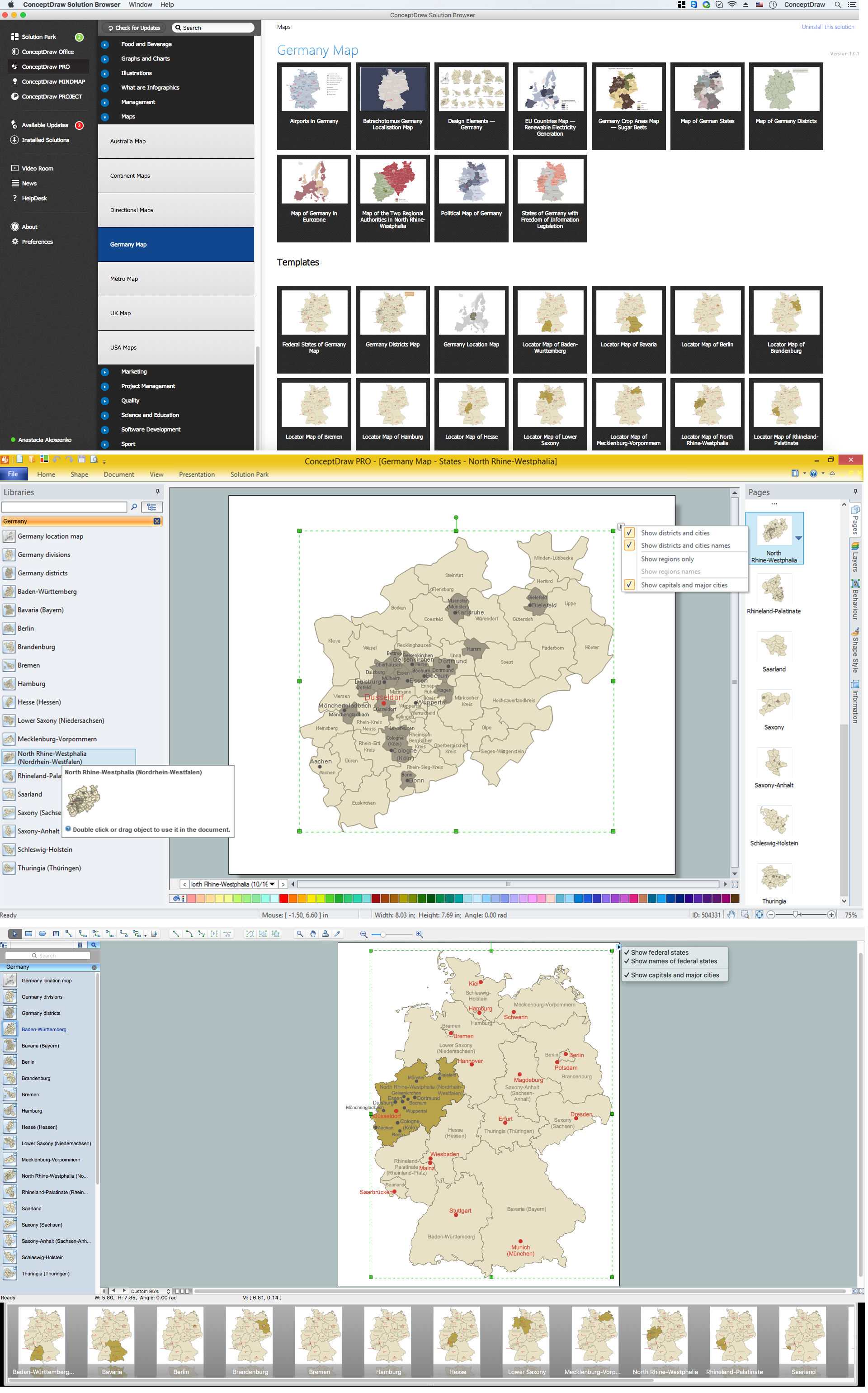
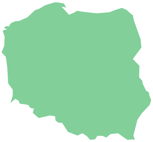
North Rhine-Westphalia is the most populous state of Germany, as well as the fourth largest by area. Its capital is Düsseldorf; the biggest city is Cologne. Despite the fact that the maps surround us everywhere in our life, usually the process of their drawing is sufficienly complex and labor-intensive. But now, thanks to the ConceptDraw PRO diagramming and vector drawing software extended with Germany Map Solution from the Maps Area of ConceptDraw Solution Park, we have the possibility to make easier this process. Design fast and easy your own pictorial maps of Germany, map of Germany with cities, and thematic Germany maps in ConceptDraw PRO!Geo Map - Europe - Poland
The vector stencils library Poland contains contours for ConceptDraw PRO diagramming and vector drawing software. This library is contained in the Continent Maps solution from Maps area of ConceptDraw Solution Park.Map of Germany — Bavaria State
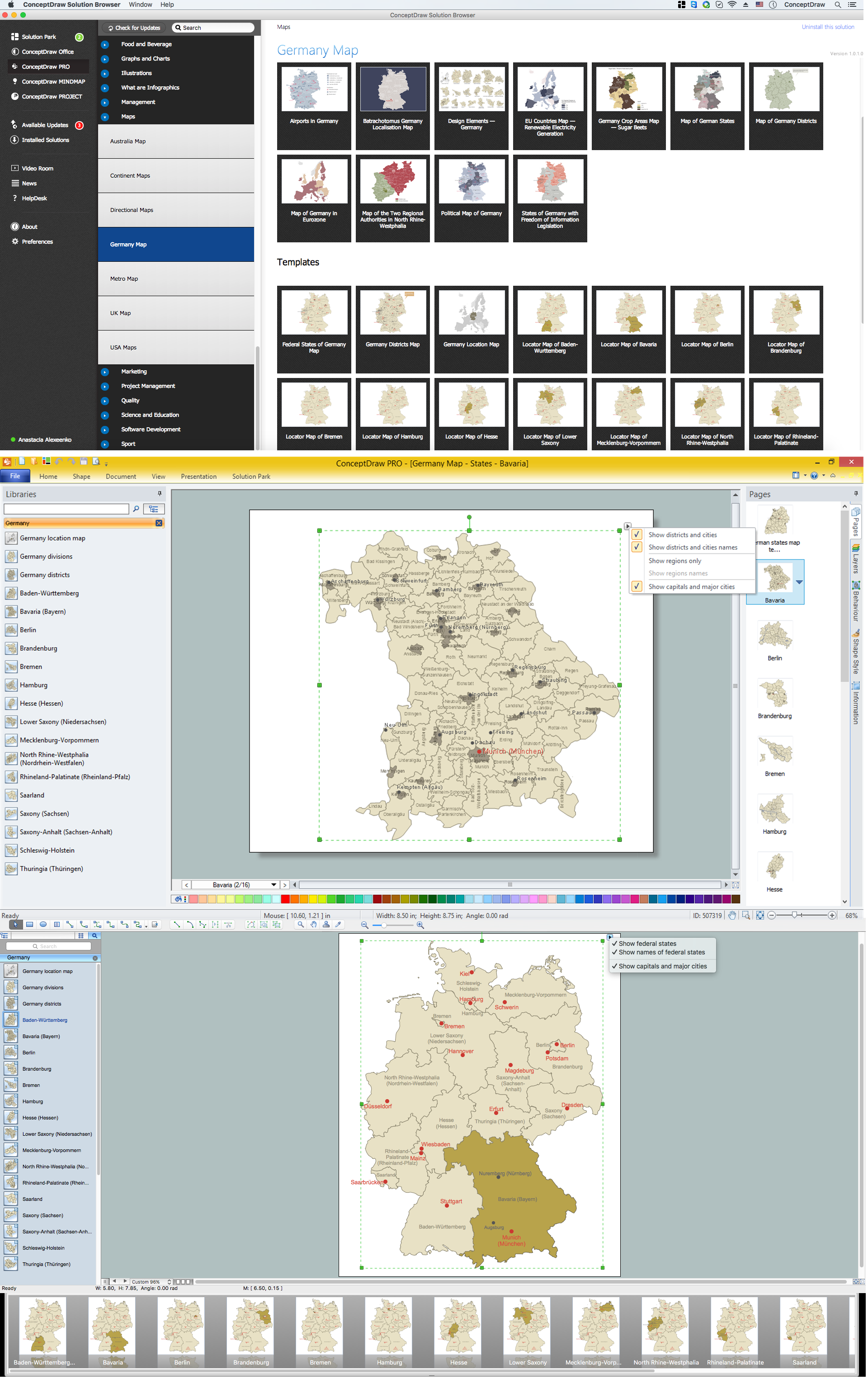
Bavaria is a federal state of Germany. In the southeast of the country with an area of 70,548 square kilometres. Despite the fact that the maps surround us everywhere in our life, usually the process of their drawing is sufficienly complex and labor-intensive. But now, thanks to the ConceptDraw PRO diagramming and vector drawing software extended with Germany Map Solution from the Maps Area of ConceptDraw Solution Park, we have the possibility to make easier this process. Design fast and easy your own pictorial maps of Germany, map of Germany with cities, and thematic Germany maps in ConceptDraw PRO!Map of Germany — Brandenburg State
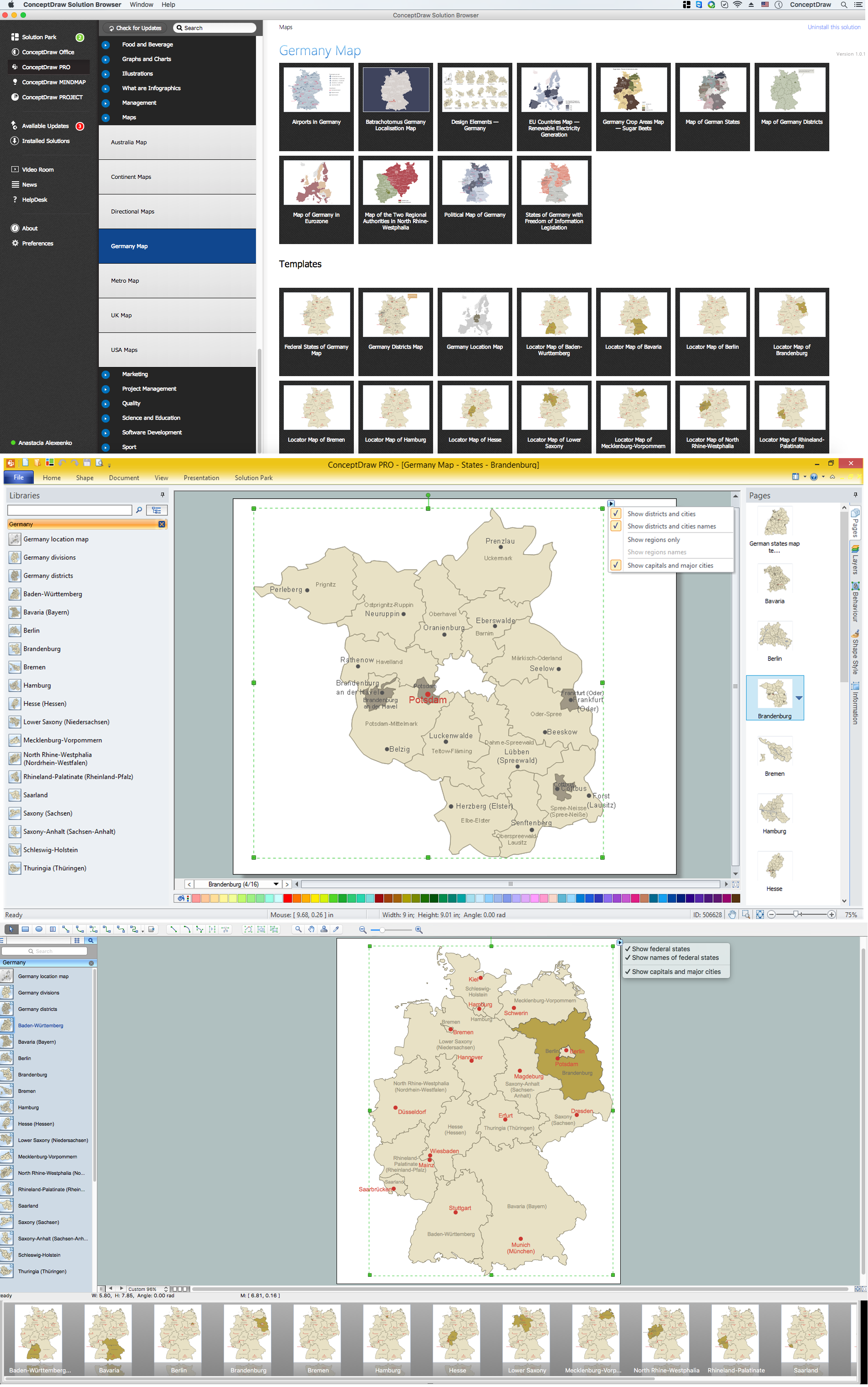
Brandenburg is one of the sixteen federated states of Germany. It lies in the northeast of the country covering an area of 29,478 square kilometers and has 2.45 million inhabitants. Despite the fact that the maps surround us everywhere in our life, usually the process of their drawing is sufficienly complex and labor-intensive. But now, thanks to the ConceptDraw PRO diagramming and vector drawing software extended with Germany Map Solution from the Maps Area of ConceptDraw Solution Park, we have the possibility to make easier this process. Design fast and easy your own pictorial maps of Germany, map of Germany with cities, and thematic Germany maps in ConceptDraw PRO!Map of Germany — Hesse State
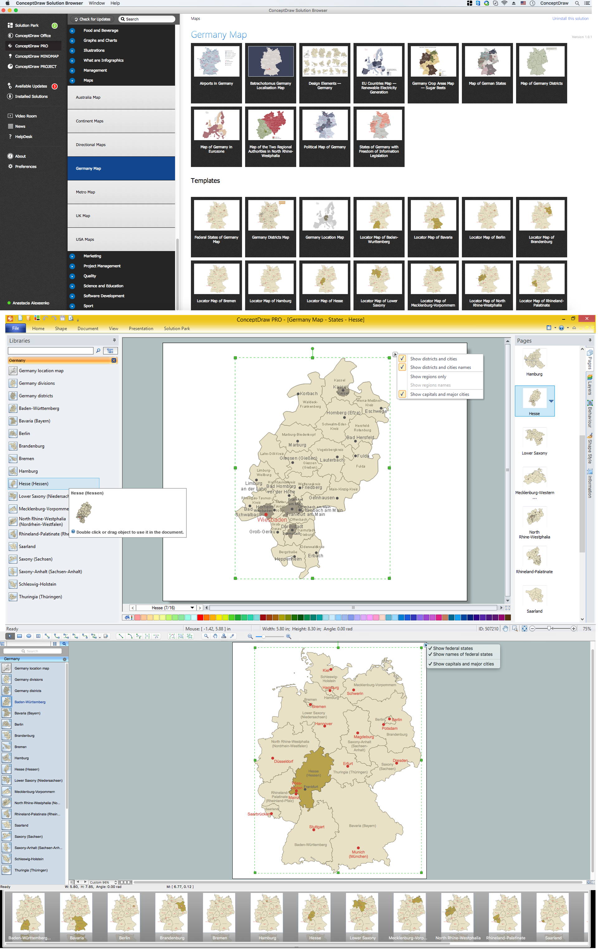
Hesse is a federal state (Land) of the Federal Republic of Germany, with just over six million inhabitants. Despite the fact that the maps surround us everywhere in our life, usually the process of their drawing is sufficienly complex and labor-intensive. But now, thanks to the ConceptDraw PRO diagramming and vector drawing software extended with Germany Map Solution from the Maps Area of ConceptDraw Solution Park, we have the possibility to make easier this process. Design fast and easy your own pictorial maps of Germany, map of Germany with cities, and thematic Germany maps in ConceptDraw PRO!Germany Map
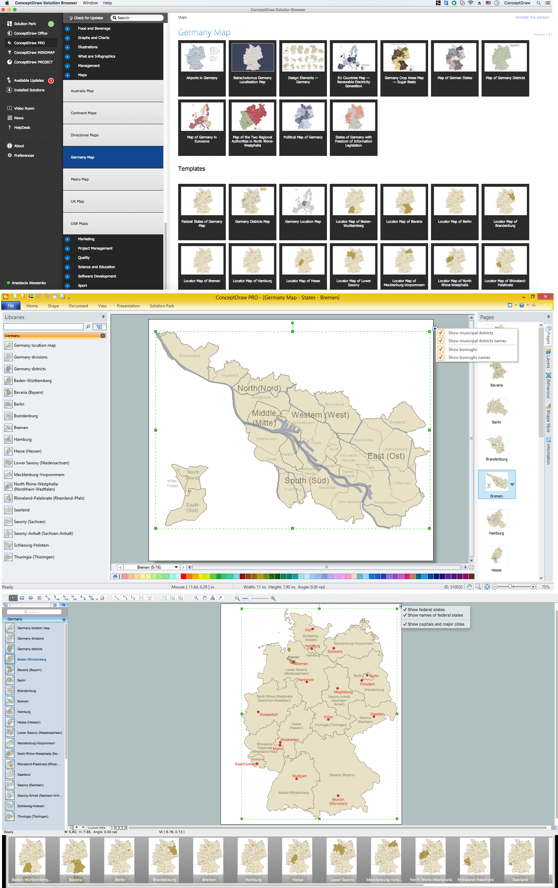
Germany is in Western and Central Europe, with Denmark bordering to the north, Poland and the Czech Republic to the east, Austria to the southeast, Switzerland to the south-southwest, France, Luxembourg and Belgium lie to the west, and the Netherlands to the northwest. ConceptDraw PRO diagramming and vector drawing software enhanced with Germany Map Solution from the Maps Area of ConceptDraw Solution Park is the best for drawing geographic Germany map, topography, political, and various thematic maps of Germany.Map of Germany — Bremen
The City Municipality of Bremen is a Hanseatic city in northwestern Germany. The Free Hanseatic City of Bremen is the smallest of Germany's 16 states. Despite the fact that the maps surround us everywhere in our life, usually the process of their drawing is sufficienly complex and labor-intensive. But now, thanks to the ConceptDraw PRO diagramming and vector drawing software extended with Germany Map Solution from the Maps Area of ConceptDraw Solution Park, we have the possibility to make easier this process. Design fast and easy your own pictorial maps of Germany, map of Germany with cities, and thematic Germany maps in ConceptDraw PRO!- Europe map with capitals - Template | Geo Map - Europe - Germany ...
- Map of Germany | Geo Map - Asia - Philippines | Map of Continents ...
- Geo Map - Europe - Denmark | European country flags - Vector ...
- Political map of Europe | European country flags - Vector stencils ...
- Map Of Europe Continent With Country And Capital
- Map Of East Germany With Cities
- Geo Map - Europe - Poland | European country flags - Vector ...
- European country flags - Vector stencils library | Geo Map - Europe ...
- Geo Map - Africa - South Sudan | Africa map with countries , main ...
- Europe map with capitals - Template | Geo Map - Europe - France ...
- Geo Map - Europe - Albania | European country flags - Vector ...
- Geo Map - Canada - Ontario | Vector Map of Germany | Geo Map ...
- Geo Map - Europe - Spain | European country flags - Vector stencils ...
- Geo Map - Europe - Ukraine | European country flags - Vector ...
- Africa map with countries , main cities and capitals - Template | Maps ...
- Geo Map - Europe - Iceland | European country flags - Vector ...
- Geo Map - Europe - Moldova | European country flags - Vector ...
- Geo Map - Europe - Iceland | European country flags - Vector ...
- Continent Maps | Germany Map | Geo Map - Africa - Uganda ...
