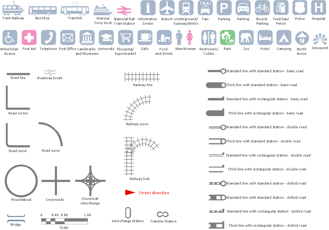
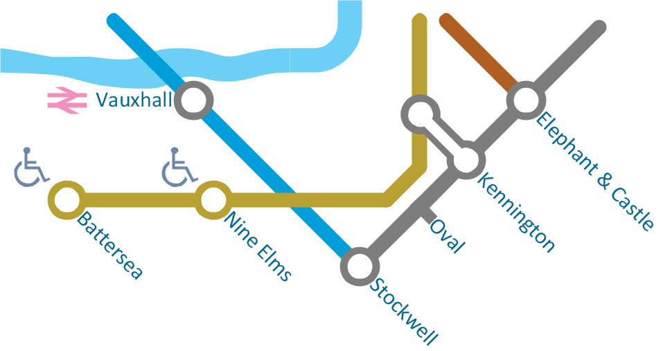
Spatial infographics Design Elements: Transport Map
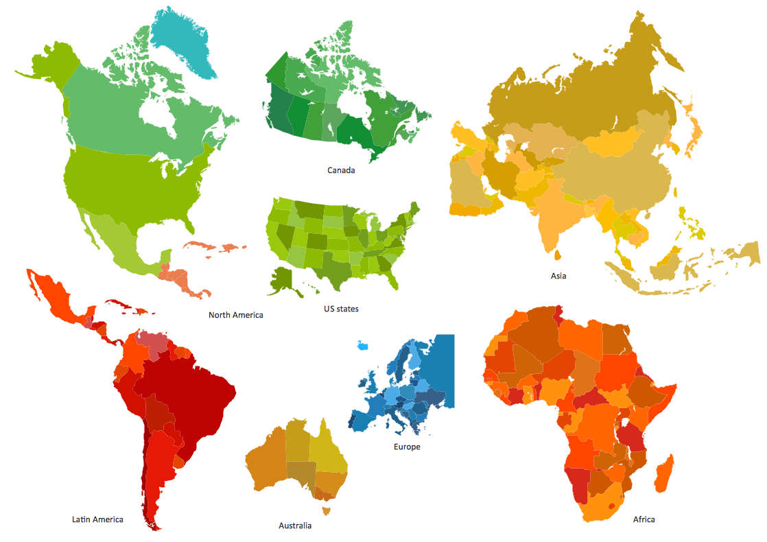
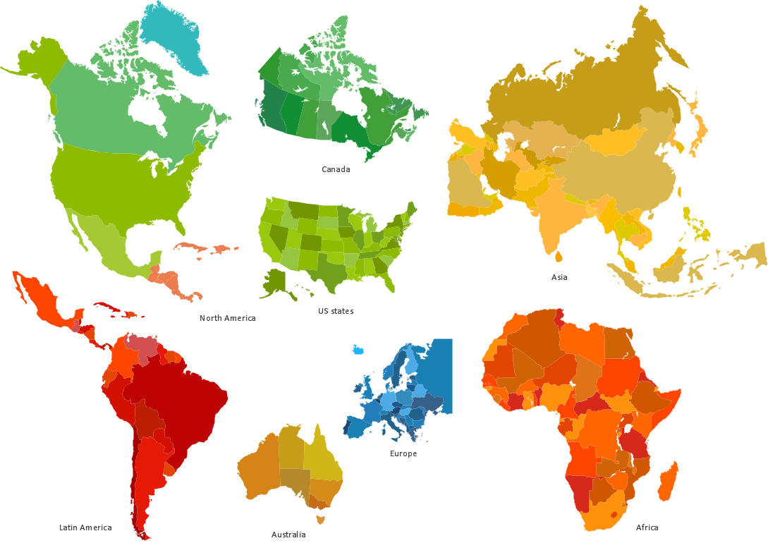
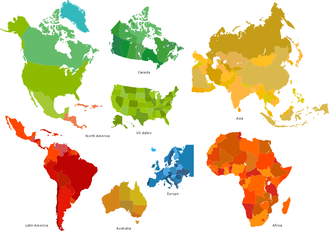
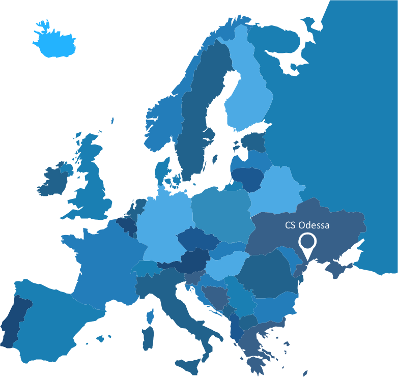
Do you like infographics and data visualization? Creating infographics is super-easy with ConceptDraw.Spatial infographics Design Elements: Continental Map
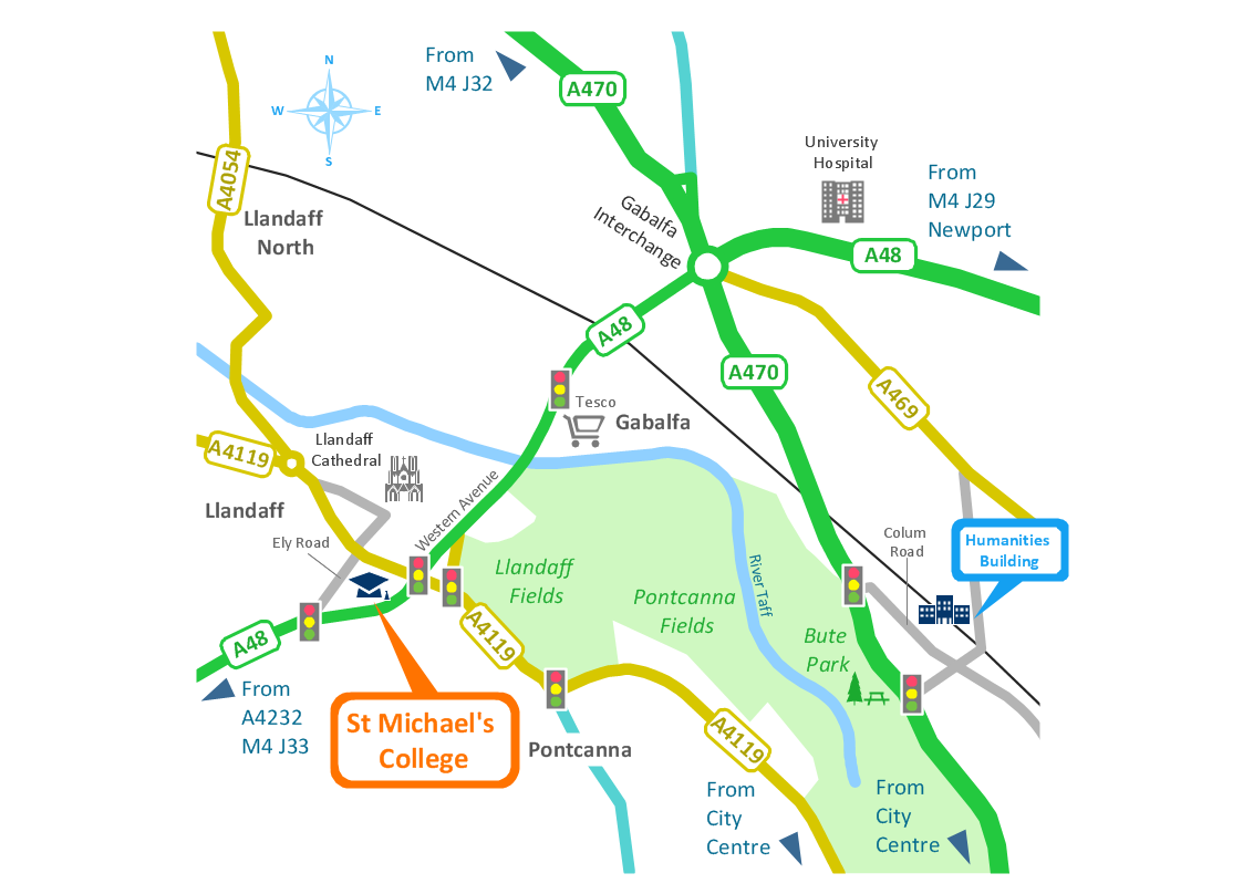
ConceptDraw DIAGRAM is a software for making infographics illustrations. You can work with various components to build really impressive and easy-to-understand infographics design.Spatial infographics Design Elements: Location Map
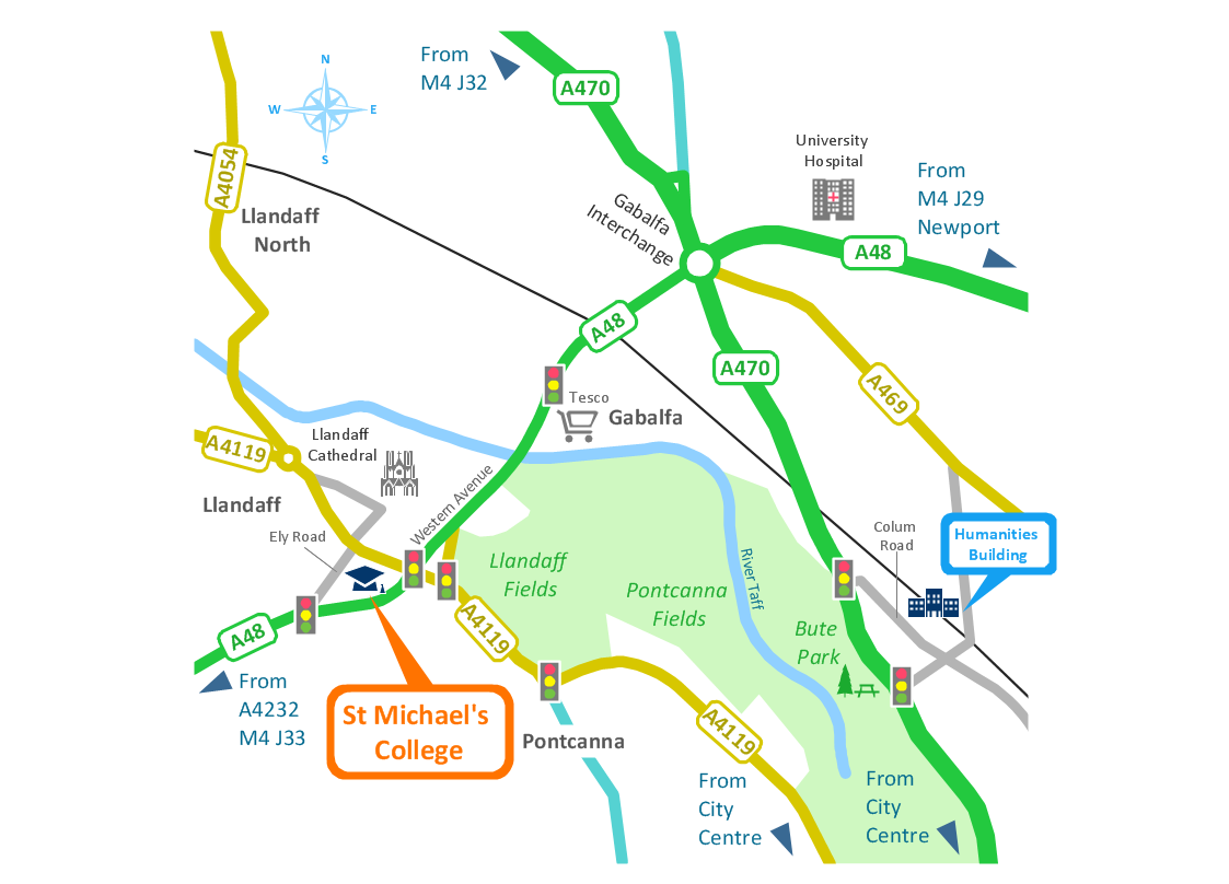
Infographic Design Elements for visually present various geographically distributed information.Map Infographic Design
ConceptDraw collection of vector elements for infographics design.Subway infographic design elements - software tools
Subway infographic design elements of MetroMap and ConceptDraw software tools."A thematic map is a type of map or chart especially designed to show a particular theme connected with a specific geographic area. ...
A thematic map is a map that focuses on a specific theme or subject area, whereas in a general map the variety of phenomena - geological, geographical, political - regularly appear together. ...
Thematic maps emphasize spatial variation of one or a small number of geographic distributions. These distributions may be physical phenomena such as climate or human characteristics such as population density and health issues. ...
Thematic map are sometimes referred to as graphic essays that portray spatial variations and interrelationships of geographical distributions. Location, of course, is important to provide a reference base of where selected phenomena are occurring. ...
Thematic maps serve three primary purposes.
First, they provide specific information about particular locations.
Second, they provide general information about spatial patterns.
Third, they can be used to compare patterns on two or more maps." [Thematic map. Wikipedia]
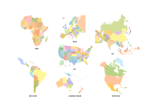
The vector stencils library "Thematic maps" contains 7 continent map contours for creating the thematic maps of geographic regions displaying the metric values by countries, states and territories marked by different colors.
Use the design elements library "Thematic maps" to create spatial dashboards using the ConceptDraw PRO diagramming and vector drawing software for your Spatial Intelligence and Location Intelligence business practice.
The example "Design elements - Thematic maps" is included in the Spatial Dashboard solution from the area "What is a Dashboard" of ConceptDraw Solution Park.
Best Tool for Infographic Construction
ConceptDraw is a best data visualization tool that will allow everyone to create rich infographics and visualizations quickly and easily.Map Infographic Maker
Take inspiration with ConceptDraw to visualise your maps and make eye-catching infographics.Informative and Well-Designed Infographics
Informative and well-designed Infographics allows visually present various map containing information.How to Create a Powerful Infographic When You do not Have a Designer
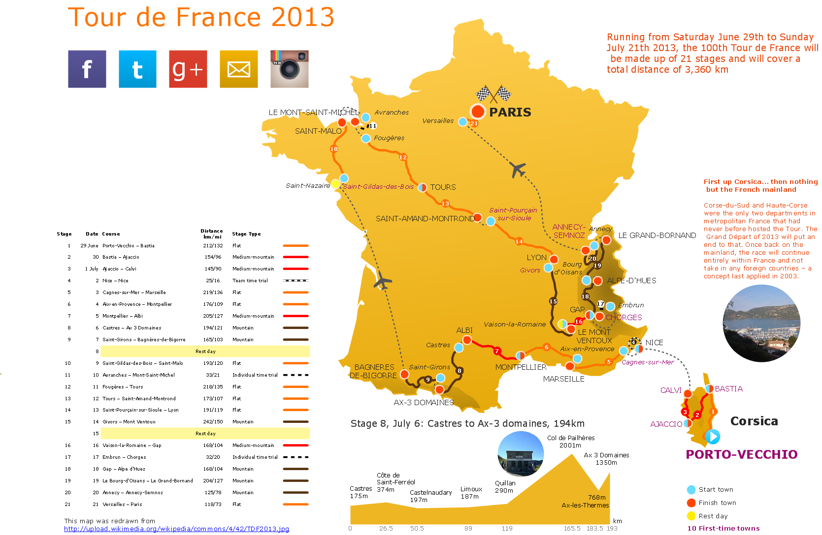
Create a powerful infographic, become inspired by the people with ConceptDraw.Brilliant Examples of Infographics Map, Transport, Road
ConceptDraw DIAGRAM contains spatial infographics samples, map templates to be filled in, and libraries of vector stencils for main design elements of spatial infographics.Infographics and Maps
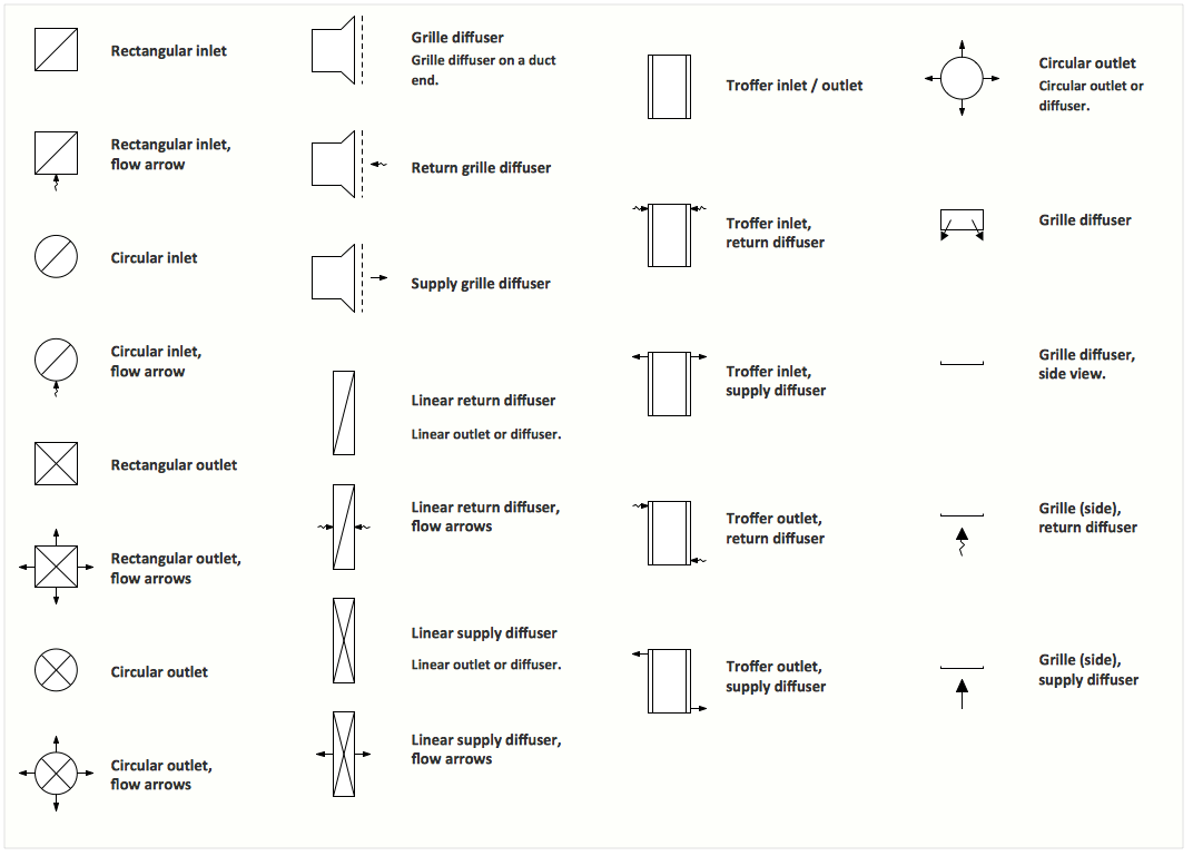
ConceptDraw is a tool that produces colorful infographics.Interior Design. Registers, Drills and Diffusers — Design Elements
The interior design project for any home, flat, business center includes the set of different plans and documents, among them obligatory are the ceiling plans. For creation these plans will be convenient to use professional drawing software. It is especially useful in cases when you need create and propose for customer the multiple alternative design plans for choice. ConceptDraw DIAGRAM diagramming and vector drawing software extended with Reflected Ceiling Plan solution is the choice of architects, designers, electricians, and other building-related people. It is ideal for displaying the ceiling design ideas which meet any requirements of building and budget. Included templates, samples and especially wide selection of vector design elements, including the elements offered by Registers, Drills and Diffusers library are helpful in drawing without efforts professional-looking Reflected Ceiling plans, Reflective Ceiling plans, Lighting Plans, Electrical Plans, Plans of location the outlets, grilles, diffusers, registers, light fixtures, light panels, etc.Visualization Spatial Data Using Thematic Maps Combined with Infographics
Now anyone can build an infographics from their data using ConceptDraw. Nice and simple, but the features it have are power-packed!Spatial Infographics
Not everyone can make spatial infographics from scratch, ConceptDraw will help you to create your own infographics.- Spatial Dashboard | Spatial Infographics | Design elements ...
- Design elements - Thematic maps | Visualization Spatial Data Using ...
- Spatial infographics Design Elements : Location Map | Map ...
- Spatial Infographics | Spatial Infographics | Map Infographic Design ...
- Spatial infographics Design Elements : Transport Map ...
- Spatial infographics Design Elements : Continental Map ...
- Spatial infographics Design Elements : Location Map | Design ...
- Spatial infographics Design Elements : Continental Map | Brilliant ...
- Spatial infographics Design Elements : Continental Map | Map ...
- Subway infographic design elements - software tools | Spatial ...
- Map Infographic Creator | Spatial infographics Design Elements ...
- Spatial infographics Design Elements : Transport Map ...
- Subway infographic design elements - software tools | Process ...
- Office Layout Plans | Interior Design Sport Fields - Design Elements ...
- Continent Maps | Spatial infographics Design Elements : Continental ...
- Best Tool for Infographic Construction | Spatial infographics Design ...
- Design elements - Choreographies BPMN 2.0 | Spatial infographics ...
- Spatial infographics Design Elements : Continental Map | How To ...
- Spatial infographics Design Elements : Continental Map | How to ...
