 Metro Map
Metro Map solution extends ConceptDraw PRO software with templates, samples and library of vector stencils for drawing the metro maps, route maps, bus and other transport schemes, or design tube-style infographics.
How to draw Metro Map style infographics? (New York)
How to draw Metro Map style infographics of New York subway. New York Subway has a long history starting on October 27, 1904. Since the opening many agencies have provided schemes of the subway system. At present time are 34 lines in use. This page present New York City subway map construct with Metro Map Solution in Conceptdraw PRO software. This is a one-click tool to add stations to the map. It lets you control the direction in which you create new stations, change lengths, and add text labels and icons. It contains Lines, Stations, and Landmarks objectsVisio Files and ConceptDraw
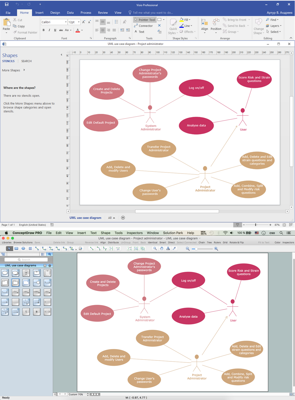
Visio Files and ConceptDraw. ConceptDraw PRO is compatible with MS Visio .VDX formatted files.VDX is Visio’s open XML file format, and it can be easily imported and exported by ConceptDraw PRO.
 Aerospace and Transport
This solution extends ConceptDraw PRO software with templates, samples and library of vector clipart for drawing the Aerospace and Transport Illustrations. It contains clipart of aerospace objects and transportation vehicles, office buildings and anci
 Rack Diagrams
Rack Diagrams solution extends ConceptDraw PRO software with samples, templates and libraries of vector stencils for drawing the computer network server rack mounting diagrams.
 Computer Network Diagrams
Computer Network Diagrams solution extends ConceptDraw PRO software with samples, templates and libraries of vector stencils for drawing the computer network topology diagrams.
 Directional Maps
Directional Maps solution extends ConceptDraw PRO software with templates, samples and libraries of vector stencils for drawing the directional, location, site, transit, road and route maps, plans and schemes.
The vector stencils library "Transport map" contains 96 pictograms for drawing transport maps.
Use it in your spatial infographics for visual representation of transport schemes and plans as metro maps in the ConceptDraw PRO diagramming and vector drawing software extended with the Spatial Infographics solution from the area "What is Infographics" of ConceptDraw Solution Park.
Use it in your spatial infographics for visual representation of transport schemes and plans as metro maps in the ConceptDraw PRO diagramming and vector drawing software extended with the Spatial Infographics solution from the area "What is Infographics" of ConceptDraw Solution Park.
- Metro Map | UML Composite Structure Diagram | Subway Train Map ...
- How To Draw Railway Station With Passengers Diagram
- Taxi Service Data Flow Diagram DFD Example | Taxi order process ...
- Taxi Service Data Flow Diagram DFD Example | UML Class ...
- UML Class Diagram Tutorial | IDEF0 Visio | How to draw Metro Map ...
- Metro Map | Aerospace and Transport | Bubble Diagram Showing ...
- How to draw Metro Map style infographics? (Los Angeles) | How can ...
- Rail transport - Design elements | Road Transport - Design ...
- How To Draw Train In Chart
- What is the Accounting Cycle? | Matrix Organization Structure ...
- Cross-Functional Flowchart | Basic Flowchart Symbols and Meaning ...
- Road Transport - Design Elements | Aerospace and Transport | Rail ...
- Transportation Infographics | Rail transport - Design elements ...
- Hospital Train Diagrams
- Timing diagram | How to draw Metro Map style infographics? (Los ...
- Flowchart design. Flowchart symbols, shapes, stencils and icons ...
- Metro Map | How to draw Metro Map style infographics? (Los ...
- Process Flowchart | Spatial infographics Design Elements: Location ...
- Transit map template | Design elements - Transport map | Transport ...
- Simple & Fast Diagram Software | Use the Best FlowChart Tool for ...


