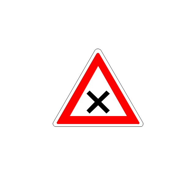
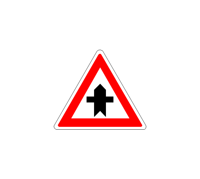
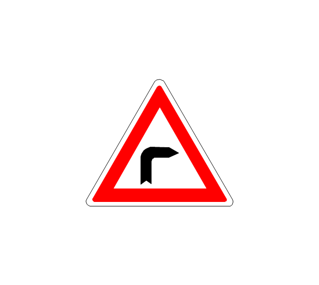
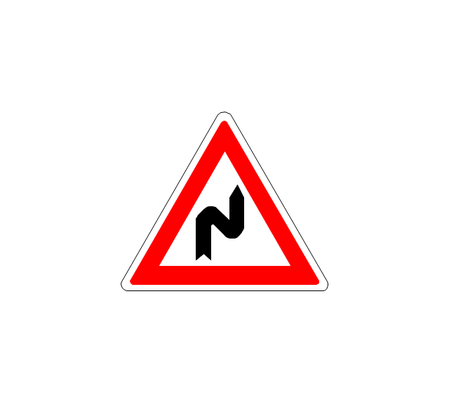
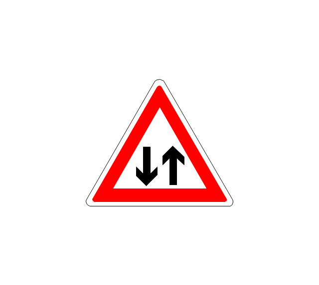
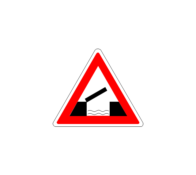
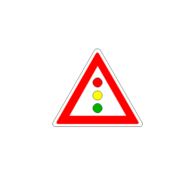
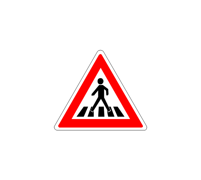
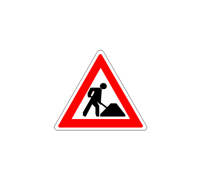
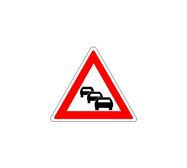
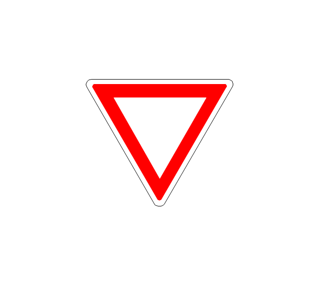
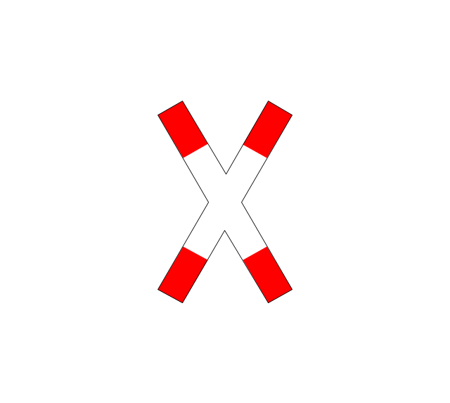
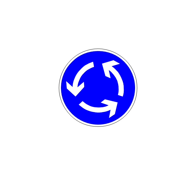
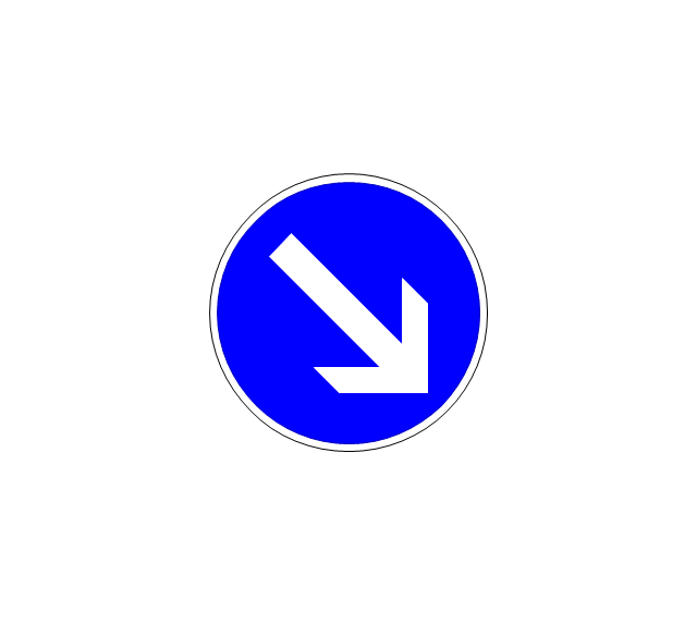
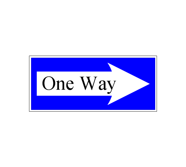
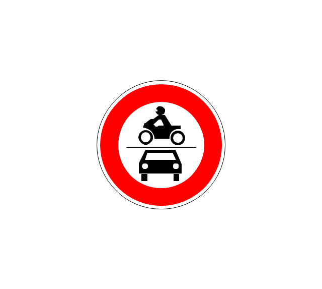
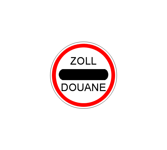
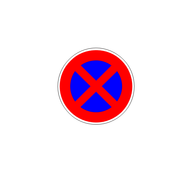
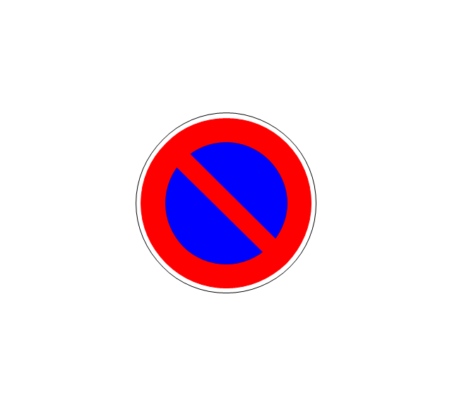
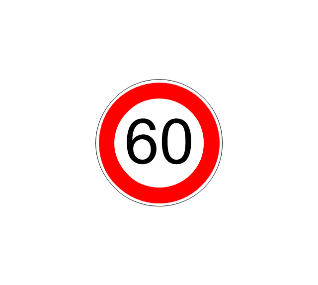
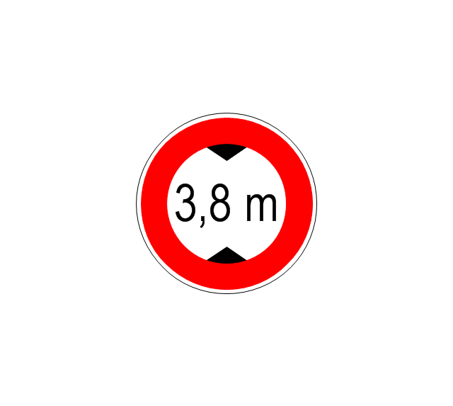
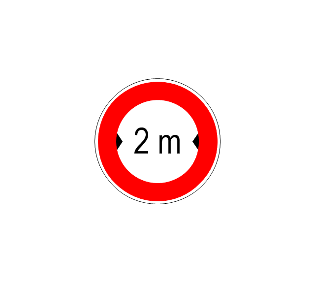
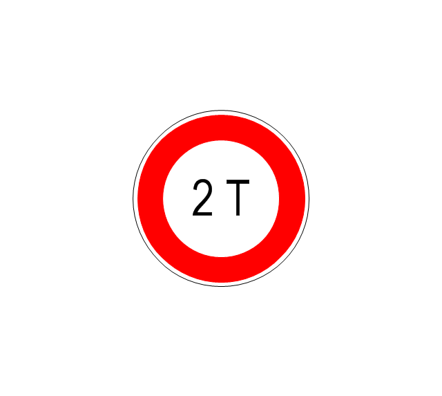
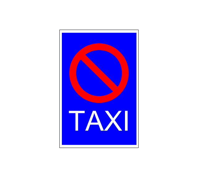
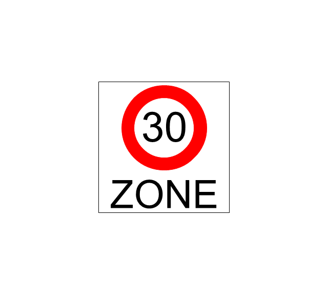
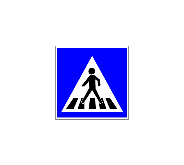
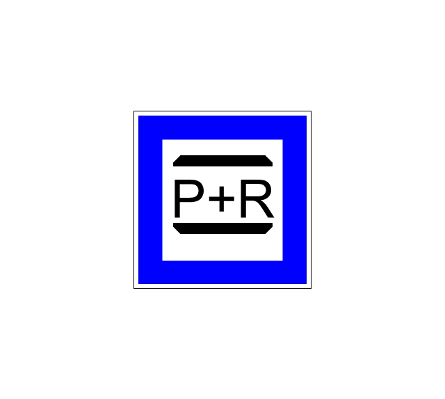
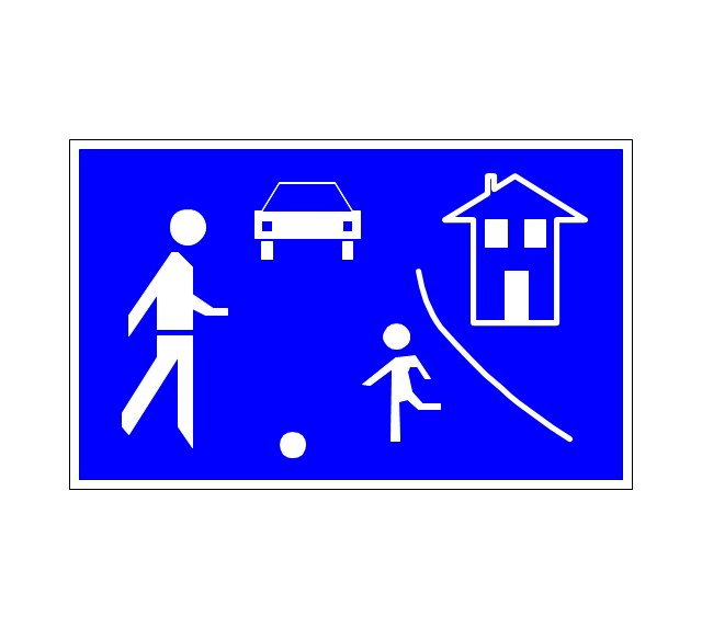
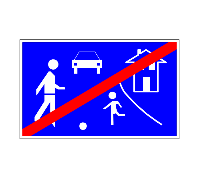
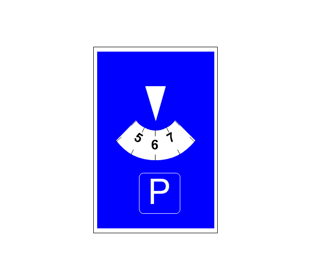
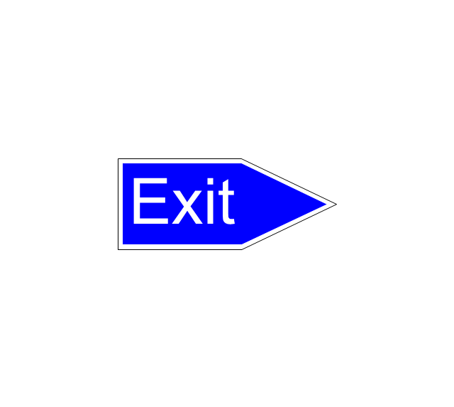
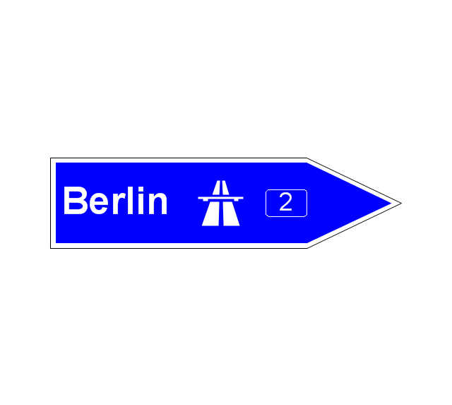
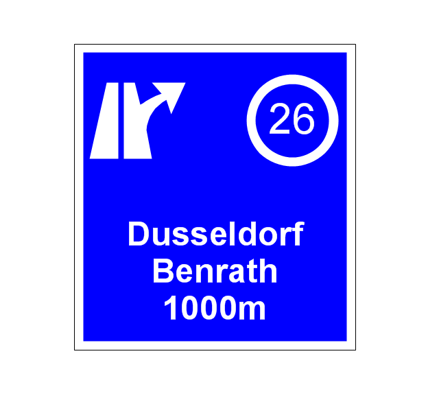
The vector stencils library "Road signs" contains 58 symbols of road signs for labeling the road and route maps, directional and transit maps, street and locator maps.
"Traffic signs or road signs are signs erected at the side of or above roads to give instructions or provide information to road users.
... many countries have adopted pictorial signs or otherwise simplified and standardized their signs to overcome language barriers, and enhance traffic safety. Such pictorial signs use symbols (often silhouettes) in place of words and are usually based on international protocols. Such signs were first developed in Europe, and have been adopted by most countries to varying degrees." [Traffic sign. Wikipedia]
The pictograms example "Road signs - Vector stencils library" was created using the ConceptDraw PRO diagramming and vector drawing software extended with the Directional Maps solution from the Maps area of ConceptDraw Solution Park.
www.conceptdraw.com/ solution-park/ maps-directional
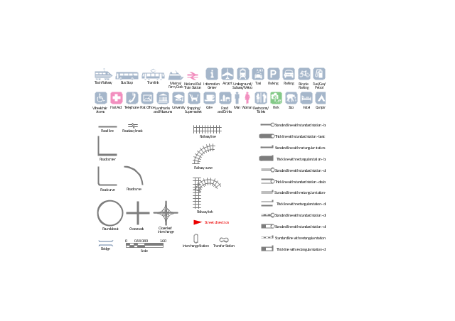
The vector stencils library "Transport map" contains 96 signs and pictograms for drawing road and transit maps.
"A transit map is a topological map in the form of a schematic diagram used to illustrate the routes and stations within a public transport system - whether this be bus lines, tramways, rapid transit, commuter rail or ferry routes. The main components are color coded lines to indicate each line or service, with named icons to indicate stations or stops.
Transit maps can be found in the transit vehicles, at the platforms or in printed timetables. Their primary function is to help users to efficiently use the public transport system, including which stations function as interchange between lines. Unlike conventional maps, transit maps are usually not geographically accurate - instead they use straight lines and fixed angles, and often illustrate a fixed distance between stations, compressing those in the outer area of the system and expanding those close to the center." [Transit map. Wikipedia]
The pictograms example "Design elements - Transport map" was created using the ConceptDraw PRO diagramming and vector drawing software extended with the Spatial Infographics solution from the Maps area of ConceptDraw Solution Park.
- Diagrams Of Road Signs And Their Meaning
- The Diagram Of Road Sign
- With Diagram Of Road Signs
- Diagram Of Road Sign And Their Meaning
- Diagram Of Road Signs And Symbols
- Road signs - Vector stencils library | Software workflow diagram ...
- All Diagram Of Road Sign And Their Meaning
- Road Sign Diagrams
- Example Of Road Sign And Diagram
- Diagram Of Traffic Signs
- Diagrams Of All Traffic Signs
- Basic Flowchart Symbols and Meaning | Road signs - Vector stencils ...
- Ring Network Topology | Road signs - Vector stencils library ...
- Diagram Of Different Traffic Signs
- Entity Relationship Diagram Symbols | Road signs - Vector stencils ...
- Road signs - Vector stencils library
- Traffic And Road And Police Signals Road Drawing
- Diagrams On Traffic Signs
- Road signs - Vector stencils library | Recreation signs - Vector ...
- Time - Design Elements | Design elements - Time | Road signs ...















-road-signs---vector-stencils-library.png--diagram-flowchart-example.png)
-road-signs---vector-stencils-library.png--diagram-flowchart-example.png)
