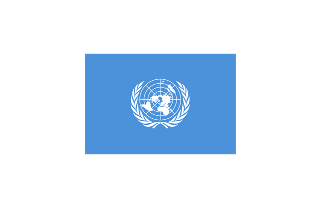
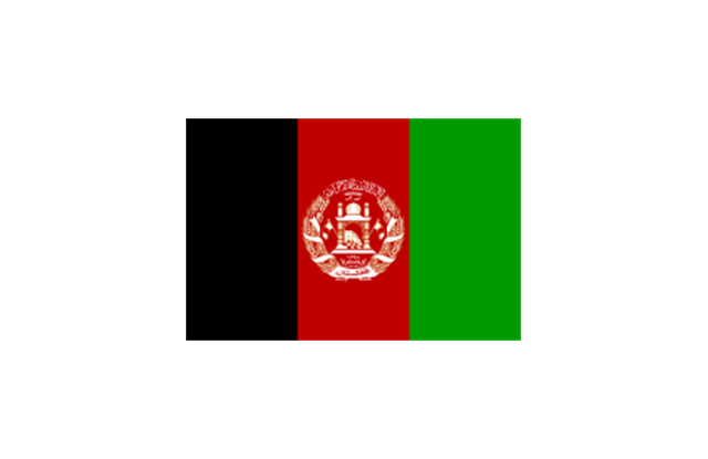
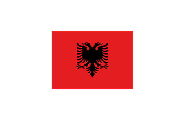
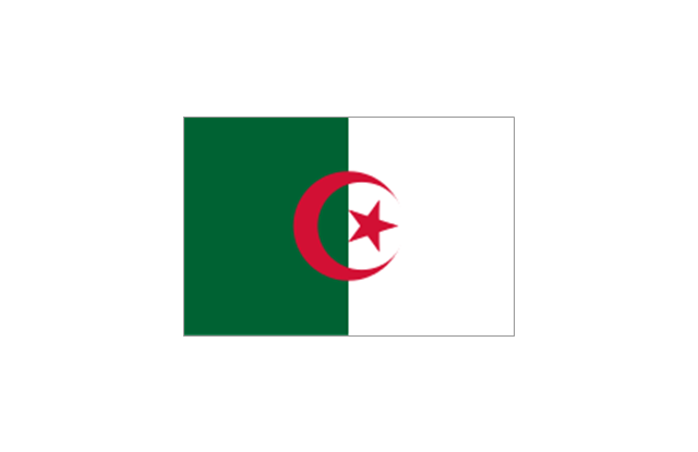
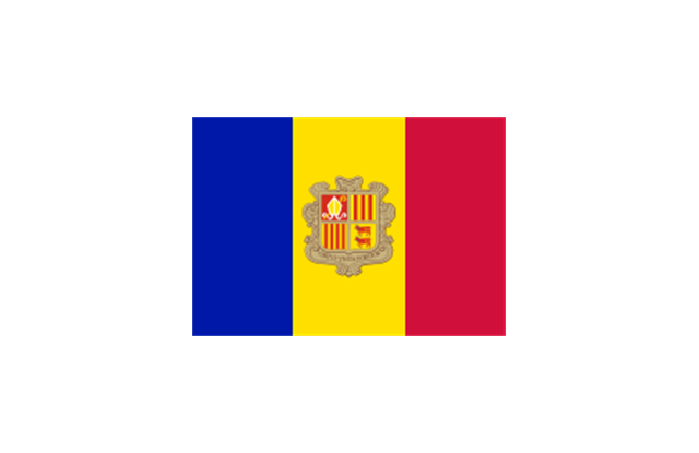
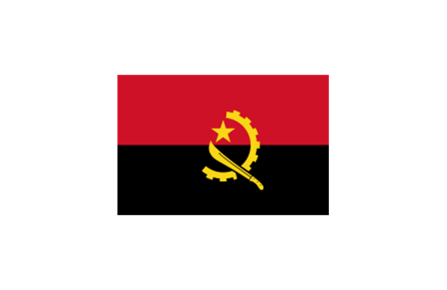
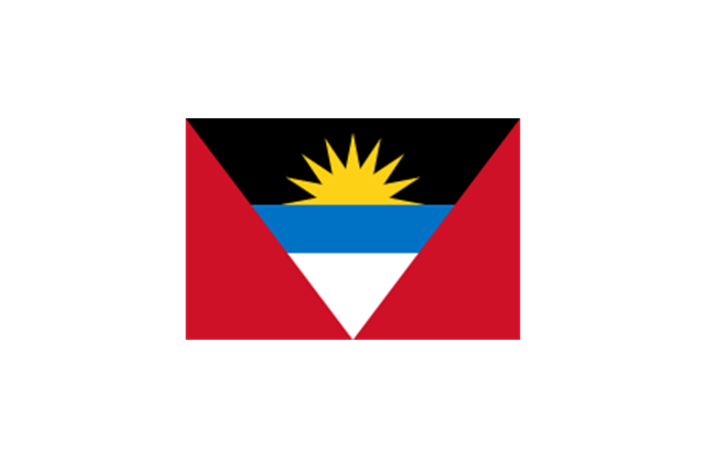
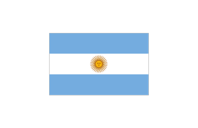
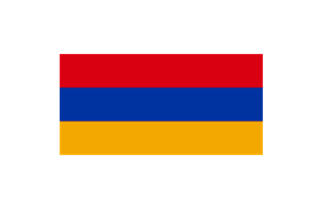
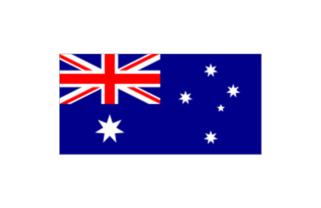
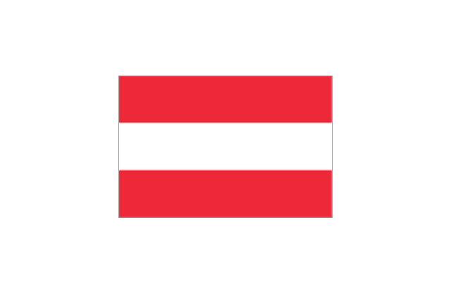
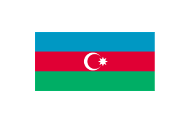
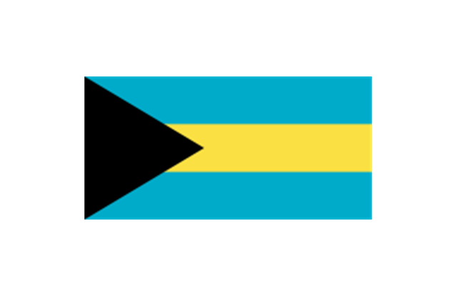
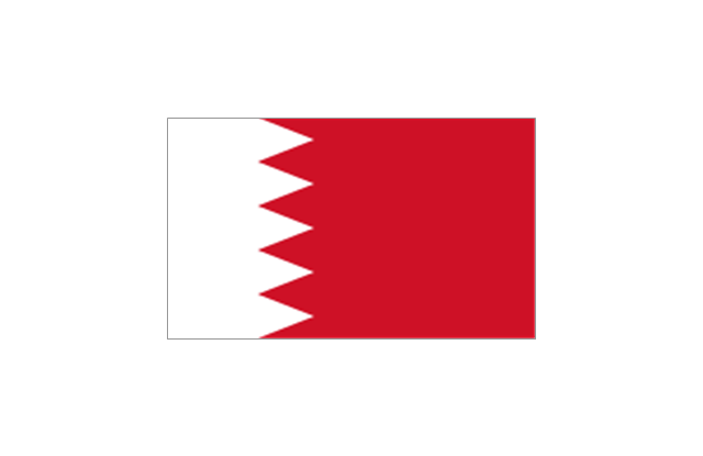
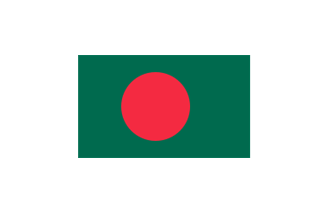
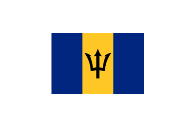
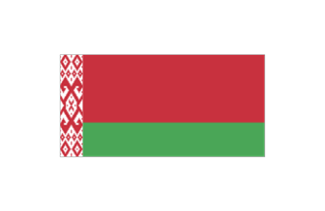
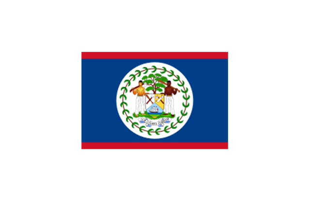
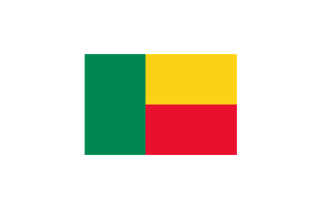
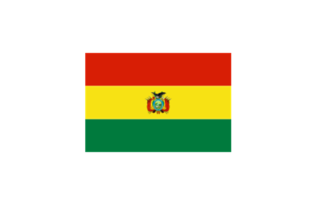
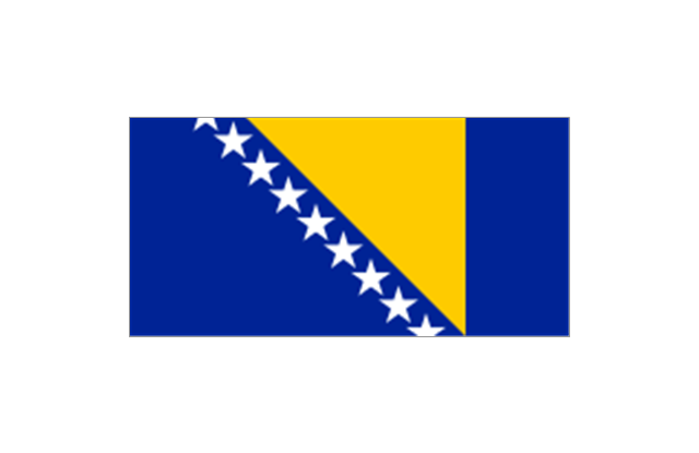
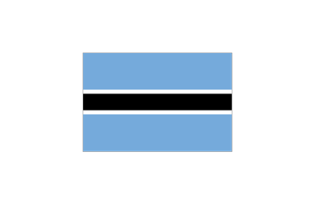
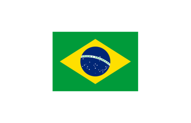
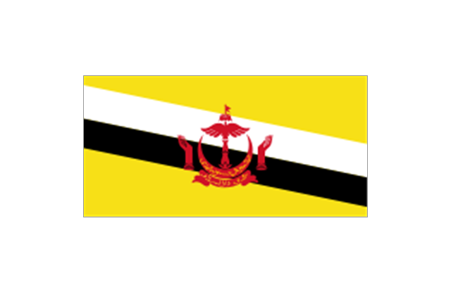
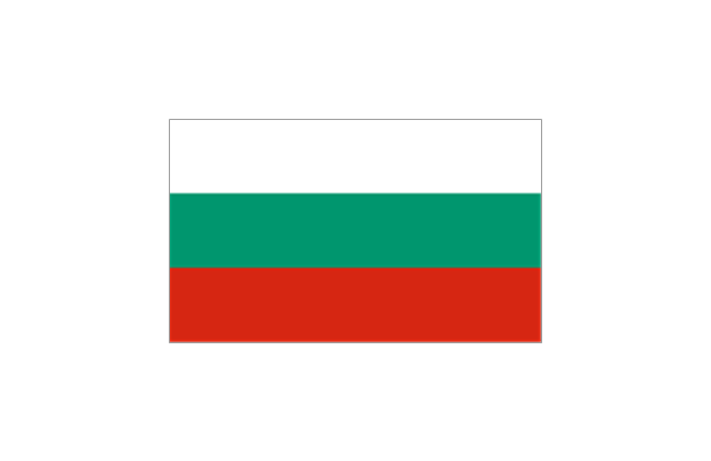
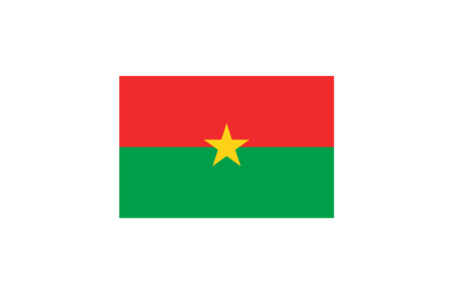
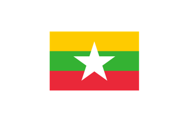
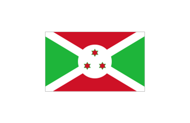
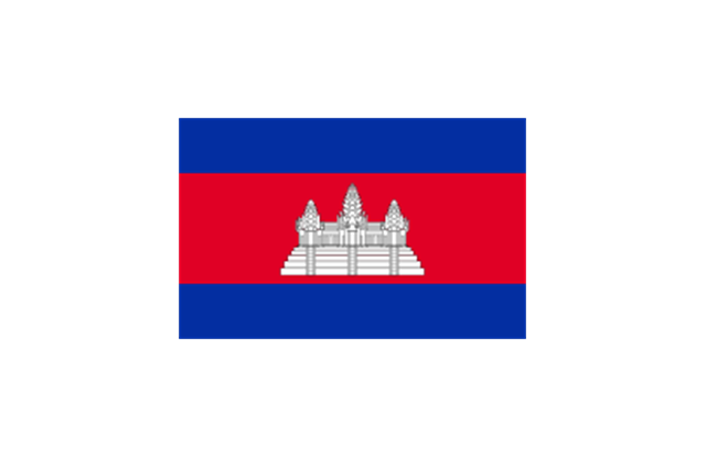
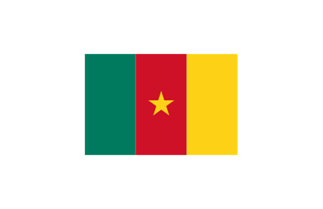
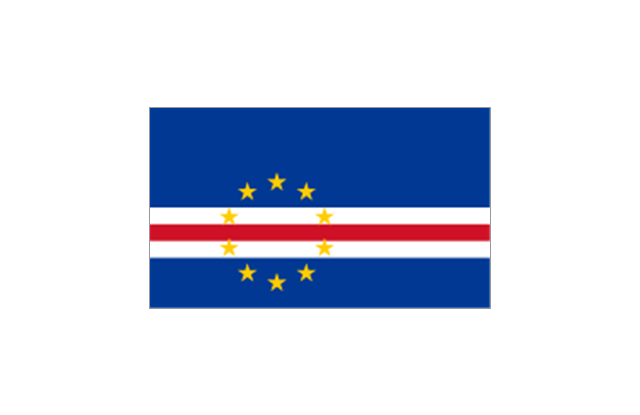
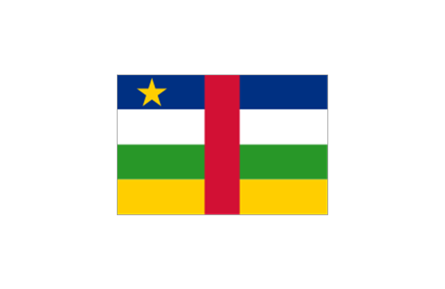
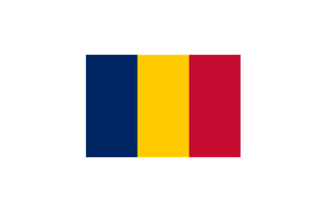
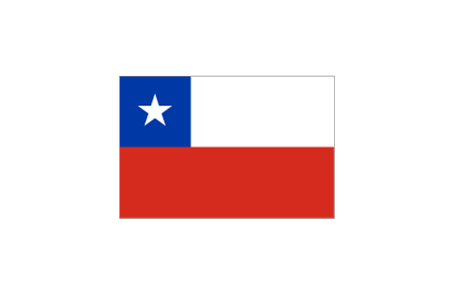
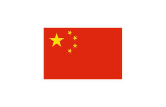
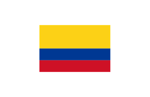
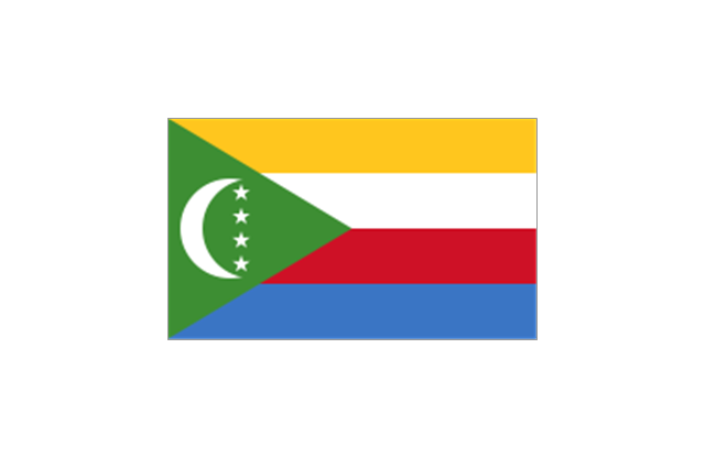
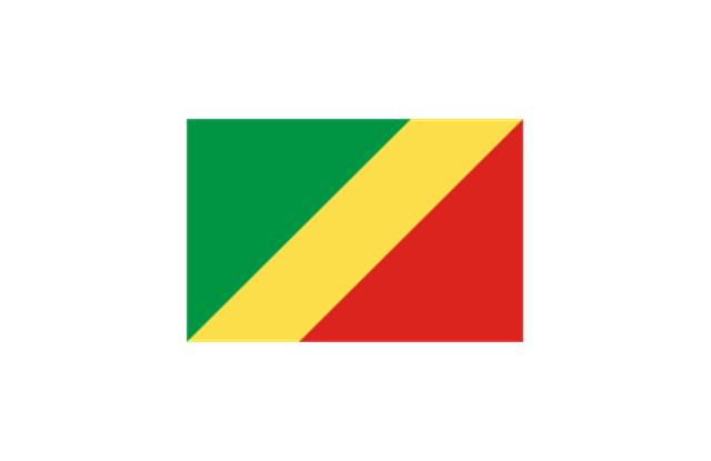
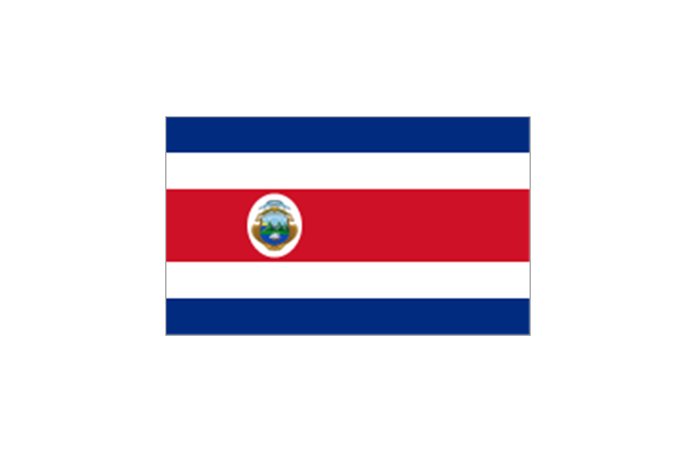
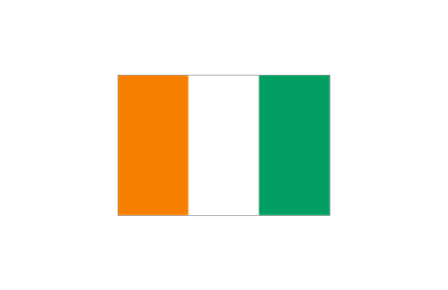
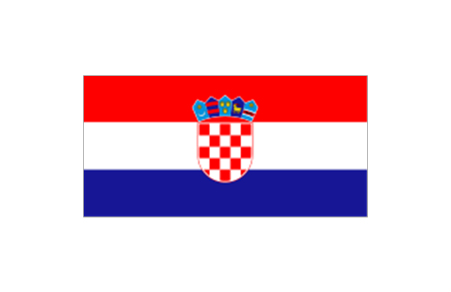
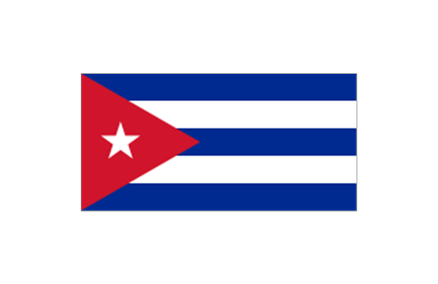
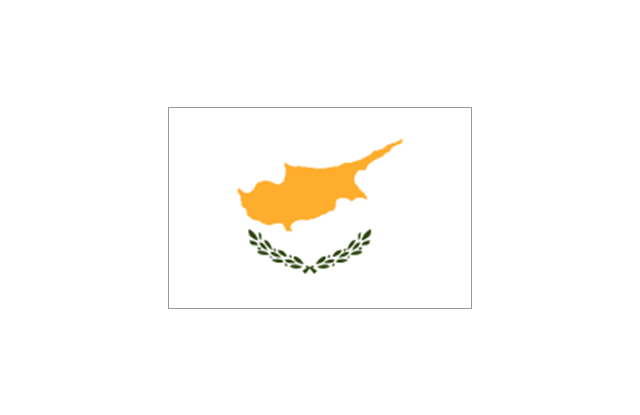
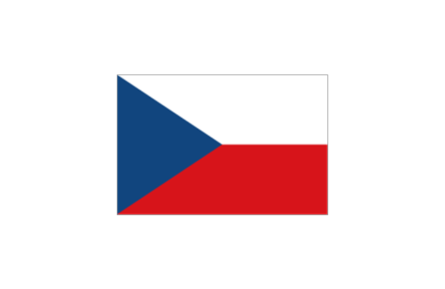
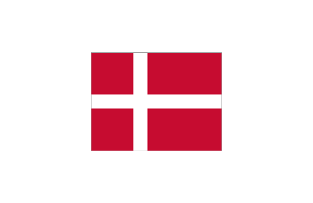
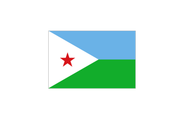
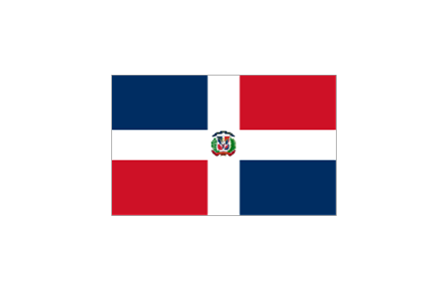
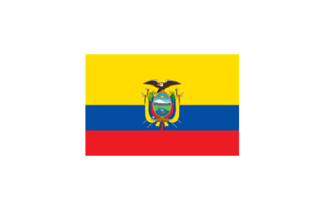
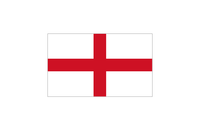
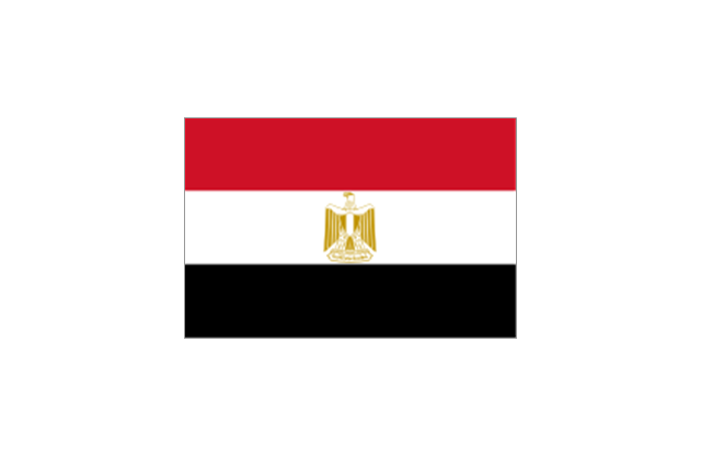
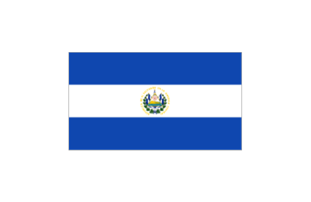
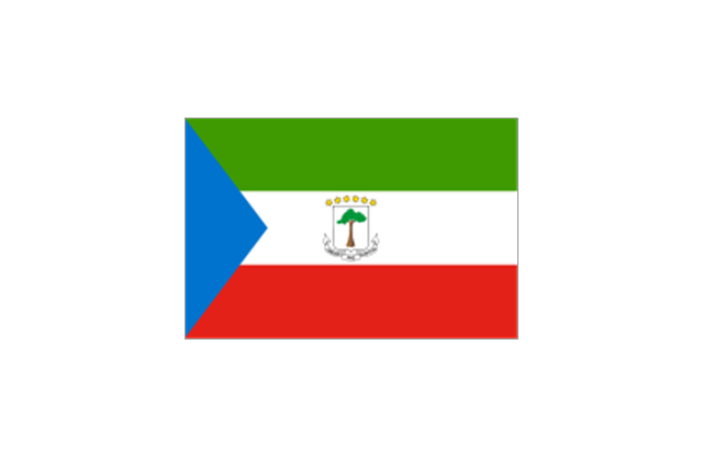
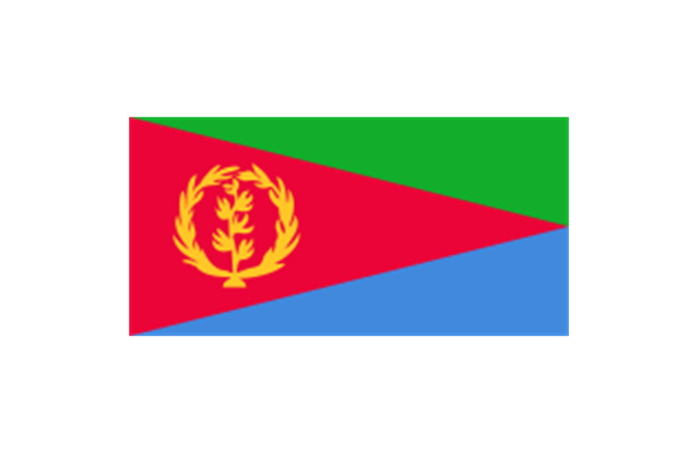
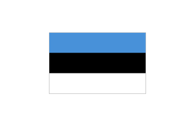
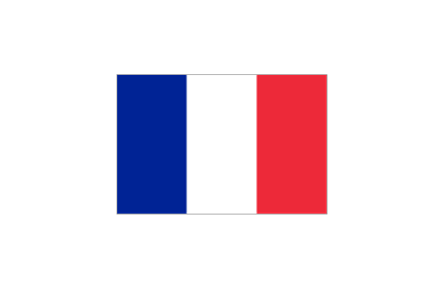
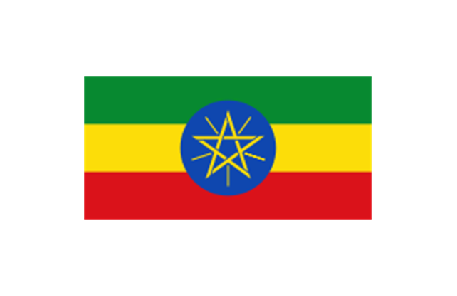
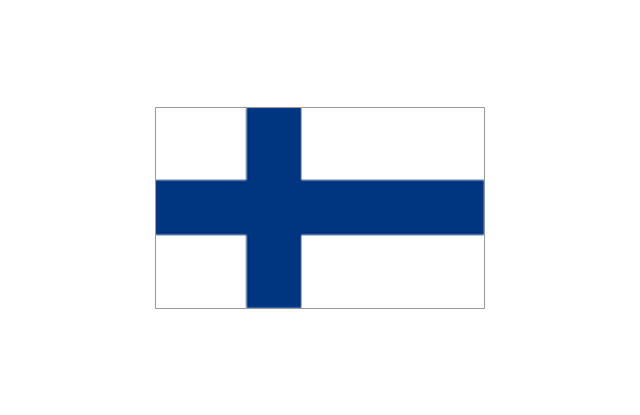
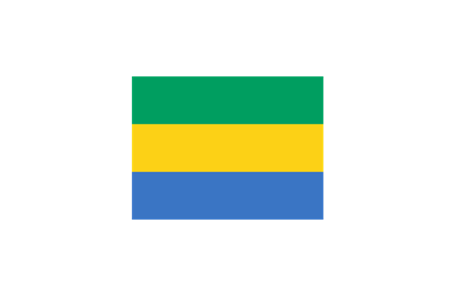
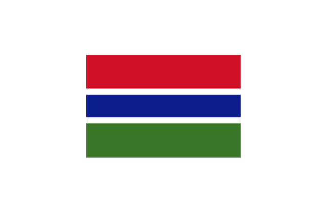
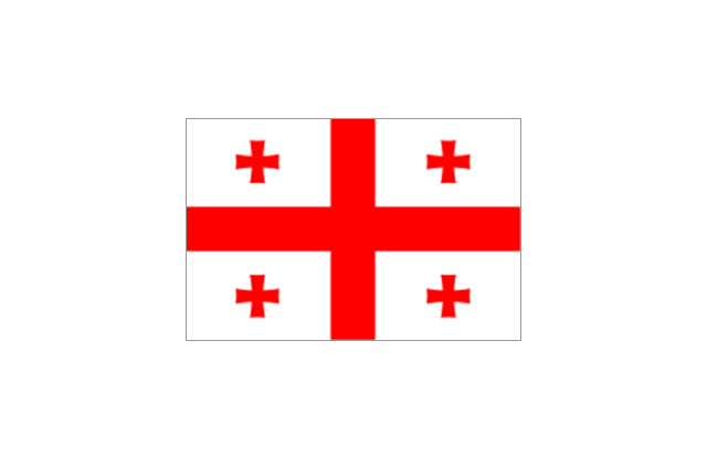
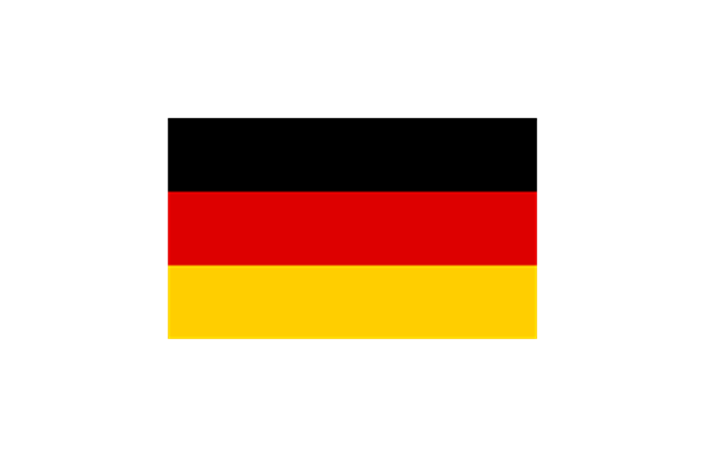
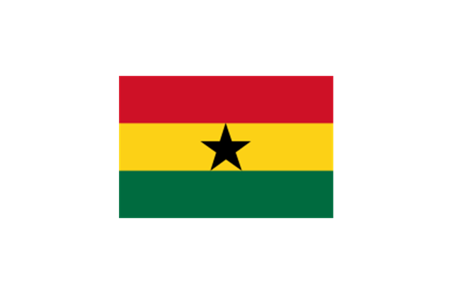
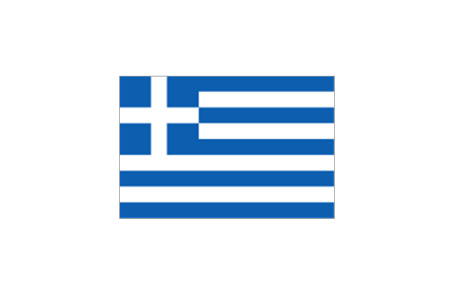
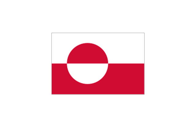
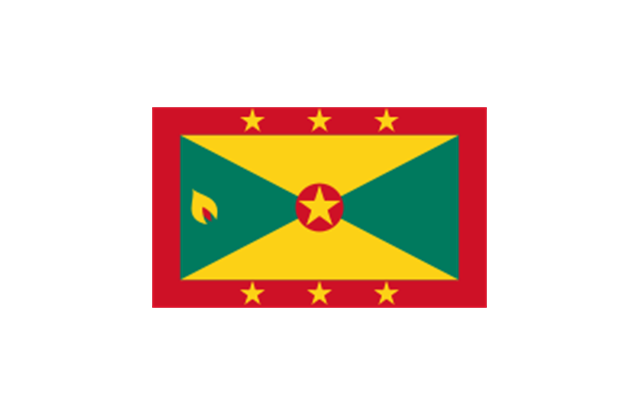
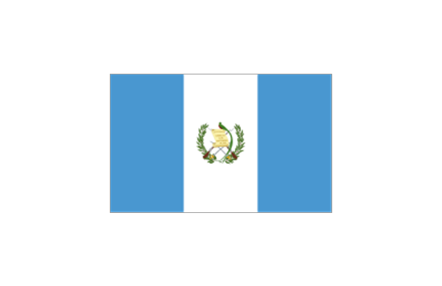
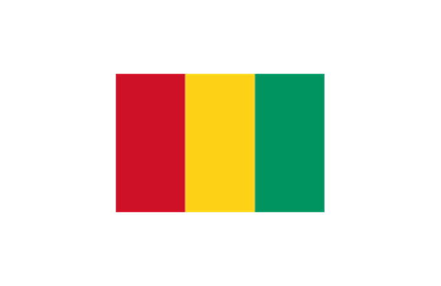
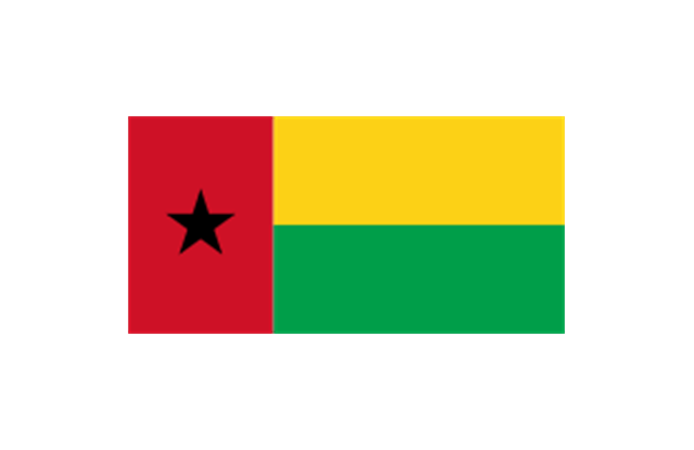
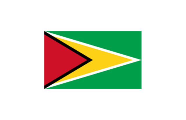
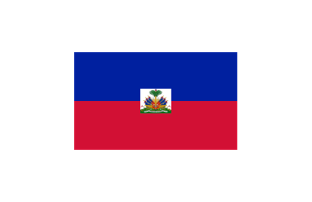
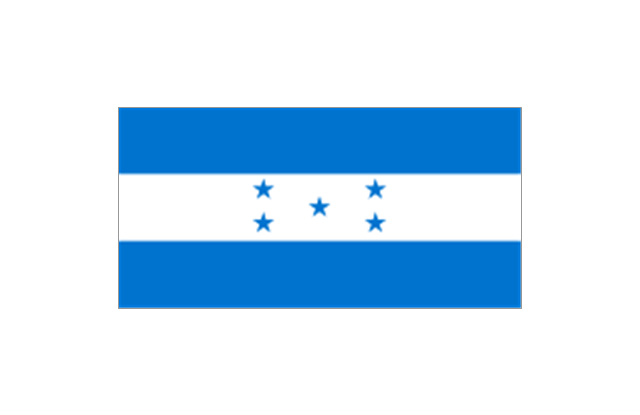
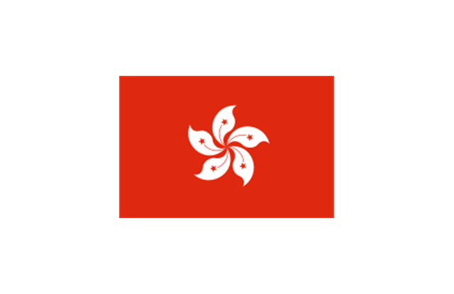
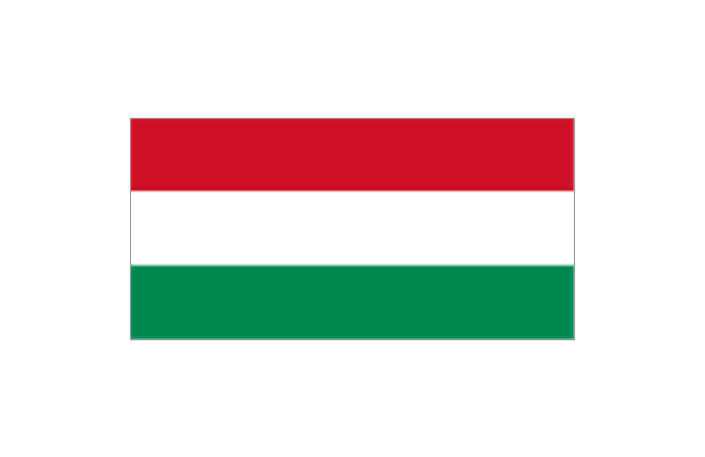
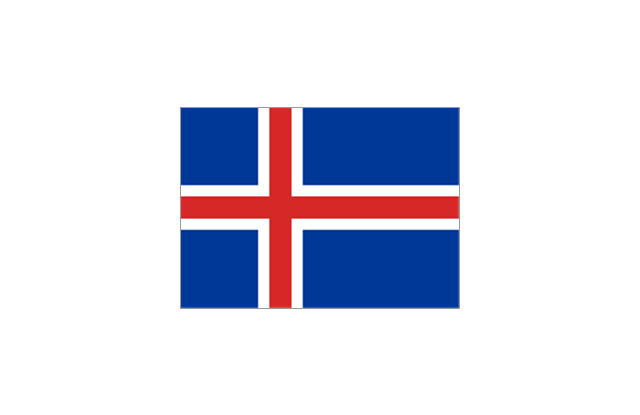
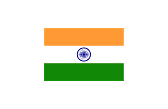
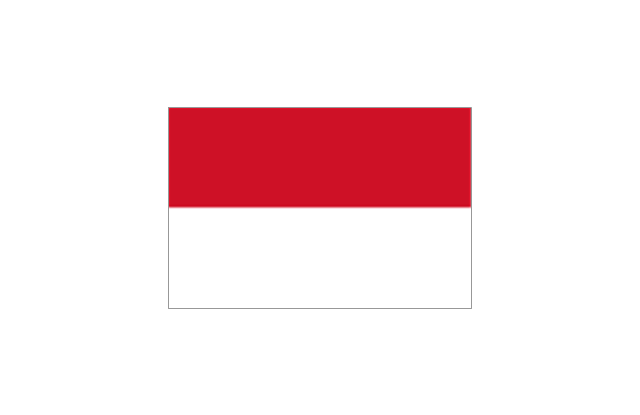
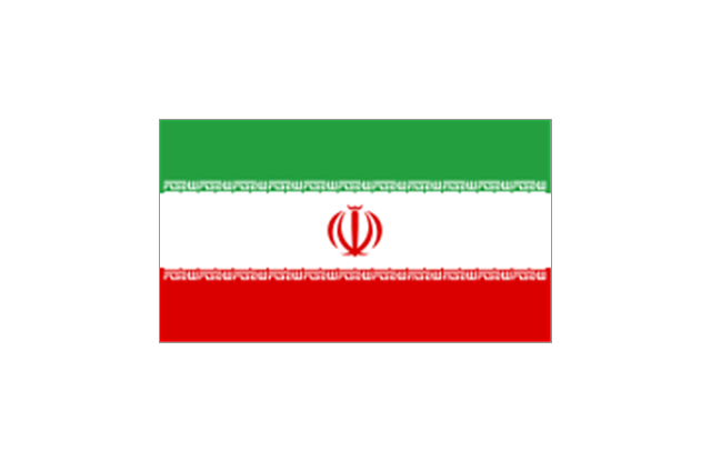
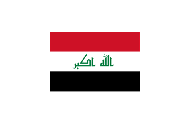
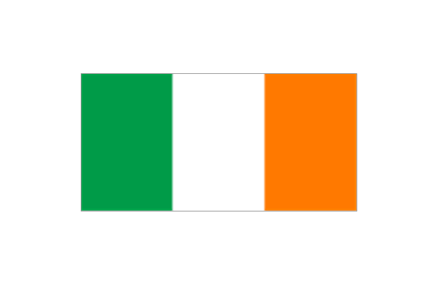
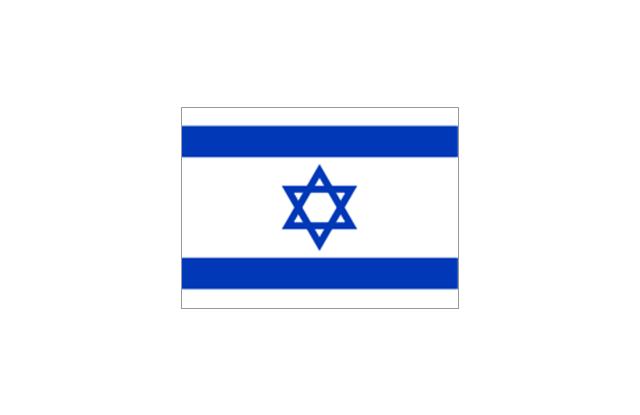
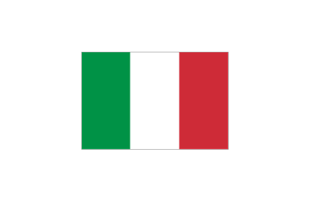
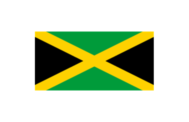
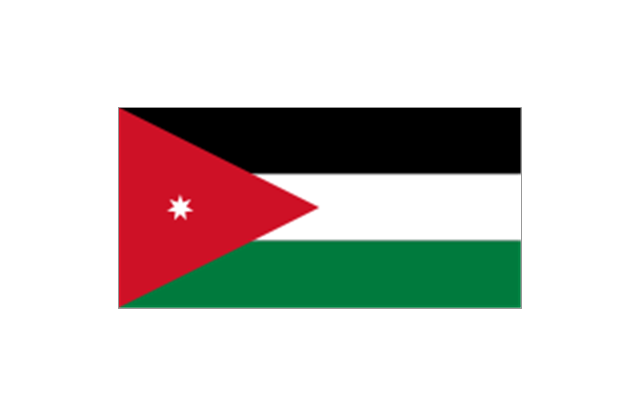
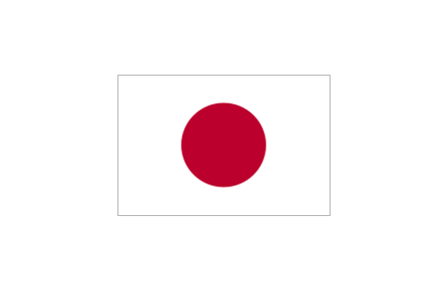
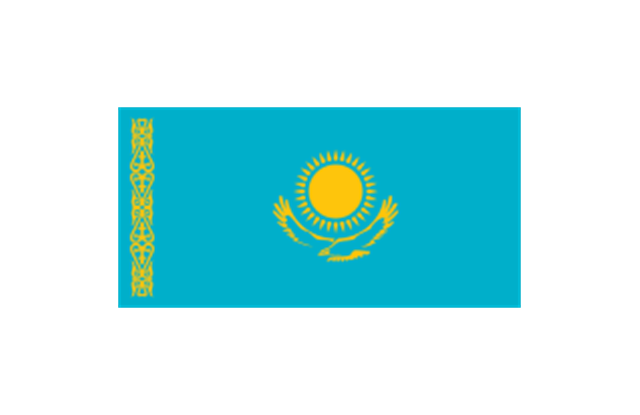
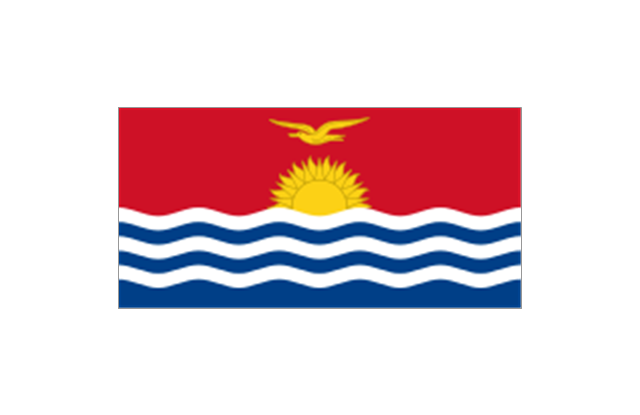
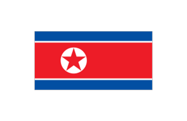
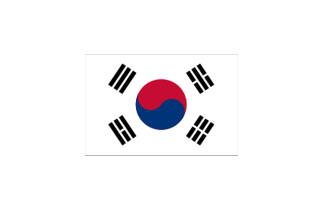
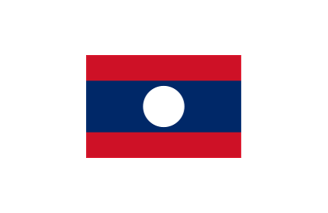
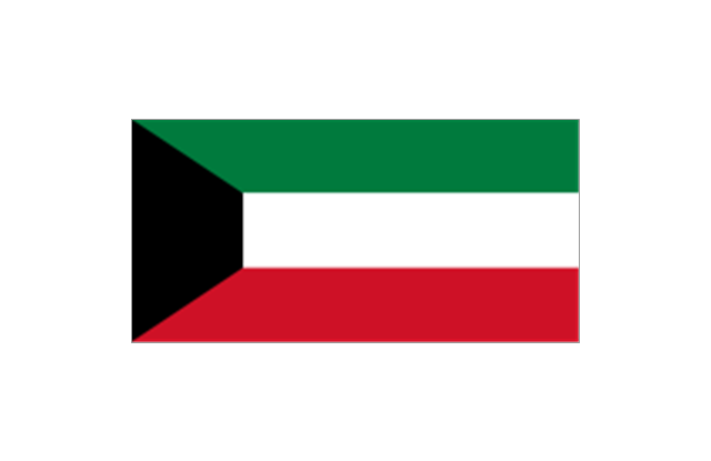
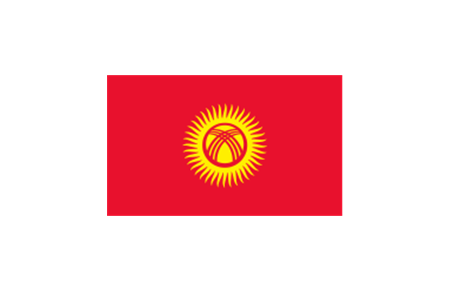
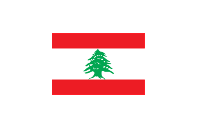
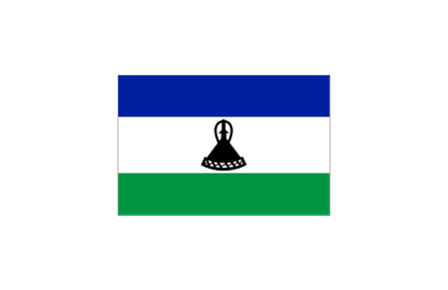
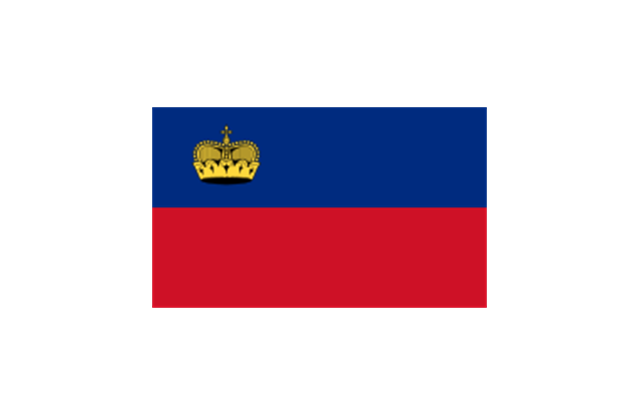
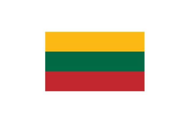
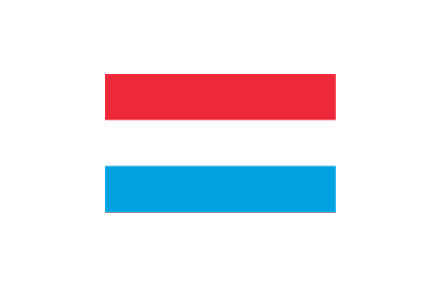
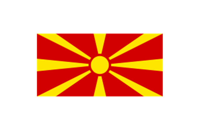
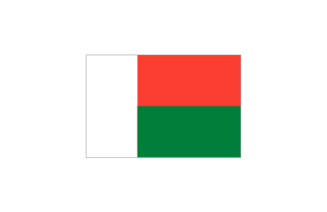
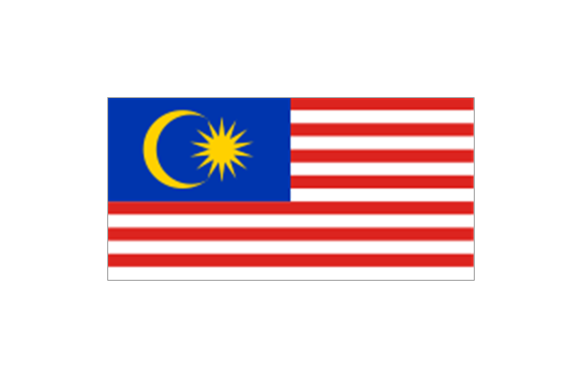
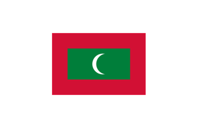
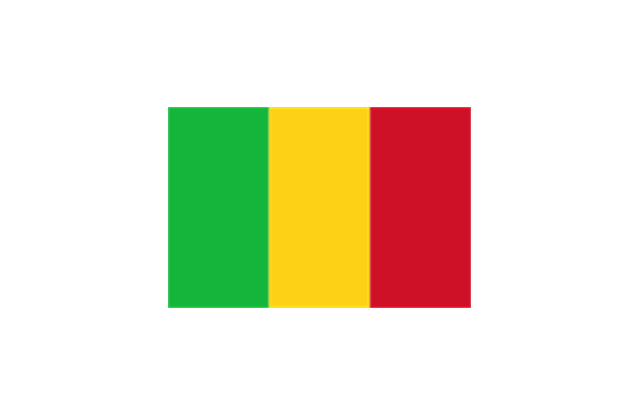
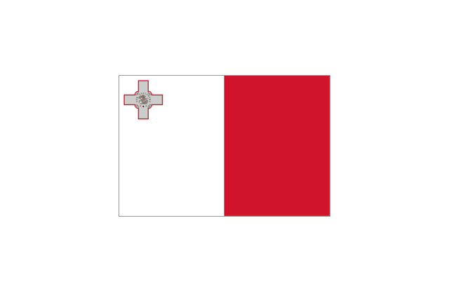
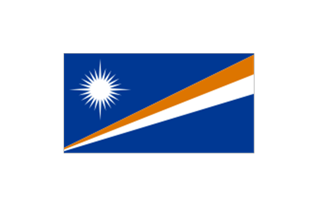
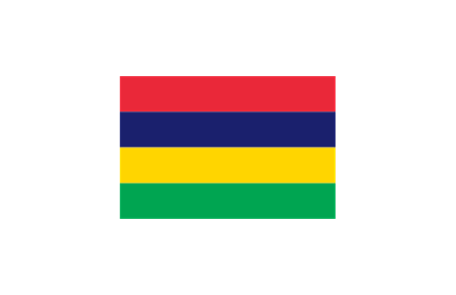
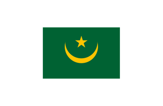
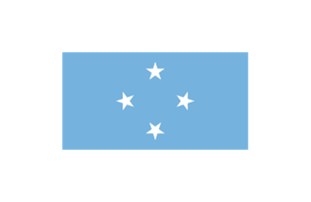
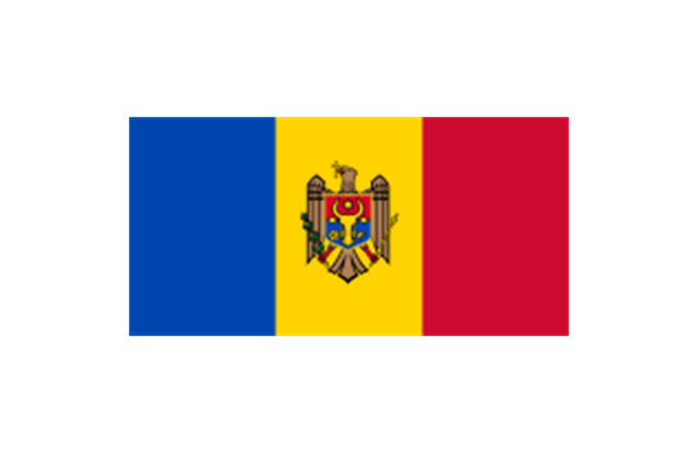
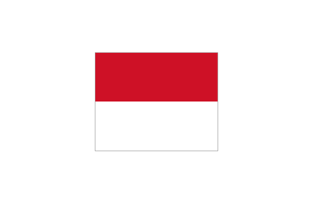
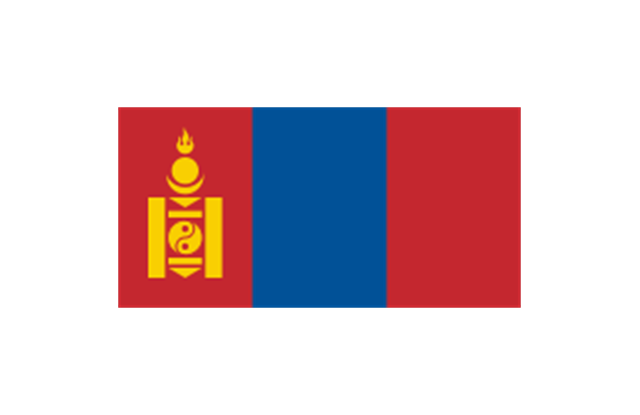
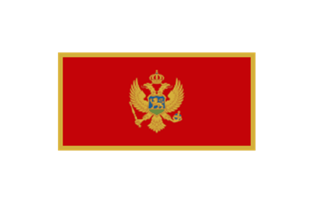
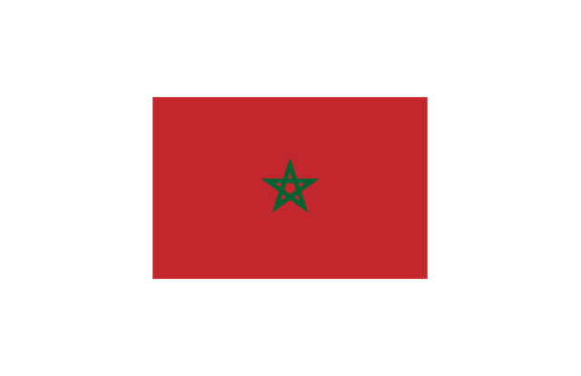
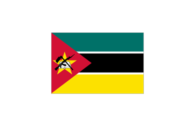
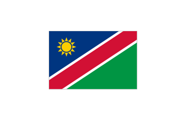
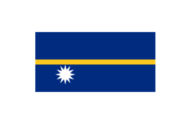
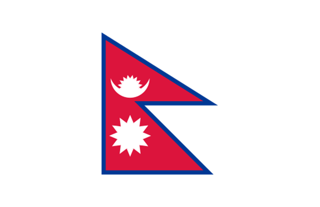
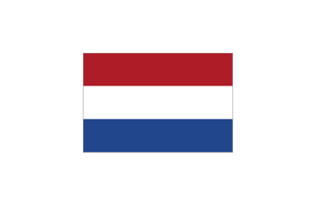
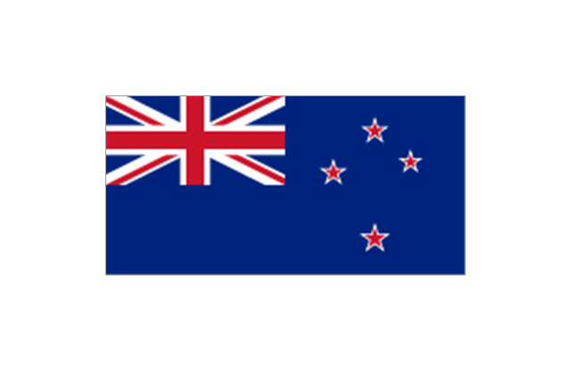
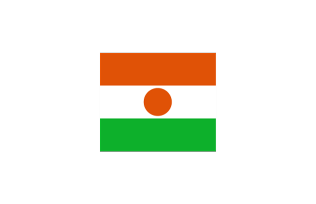
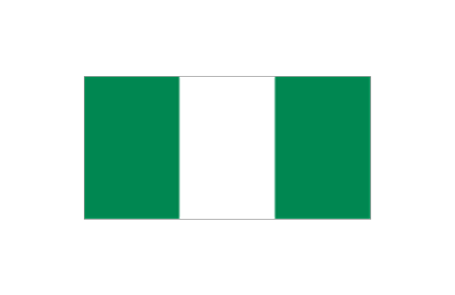
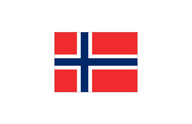
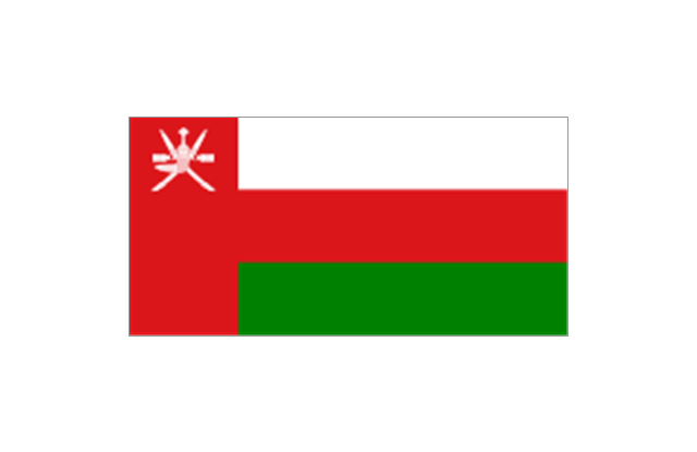
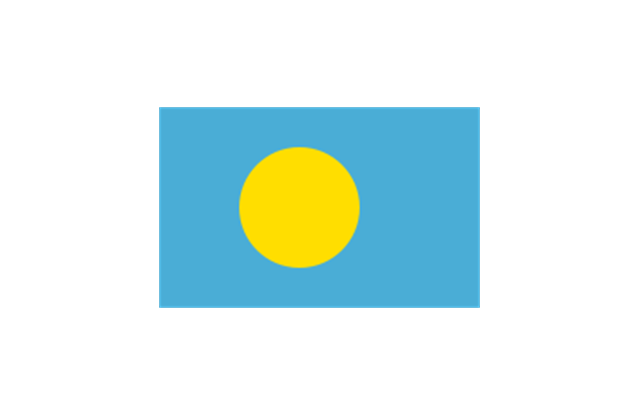
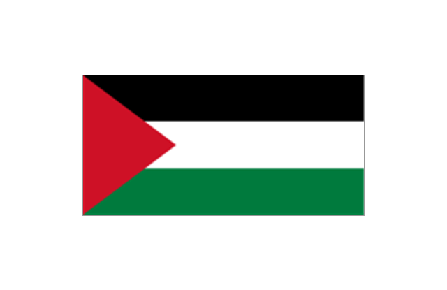
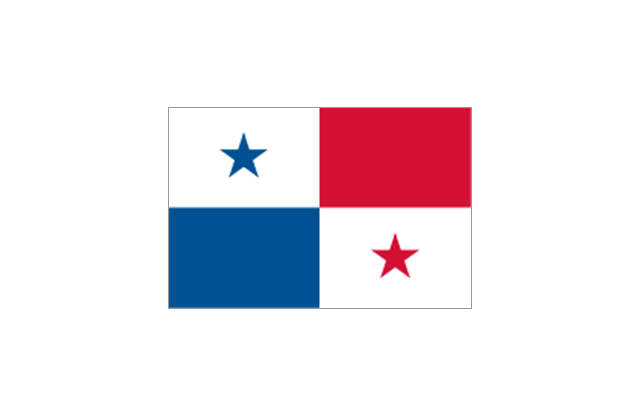
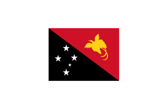
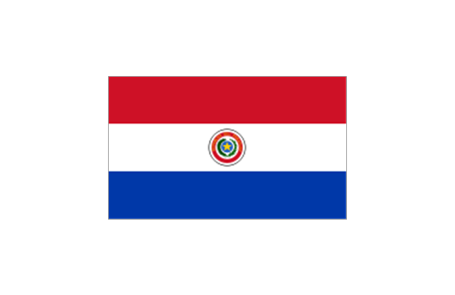
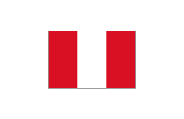
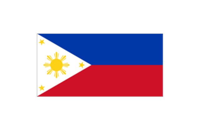
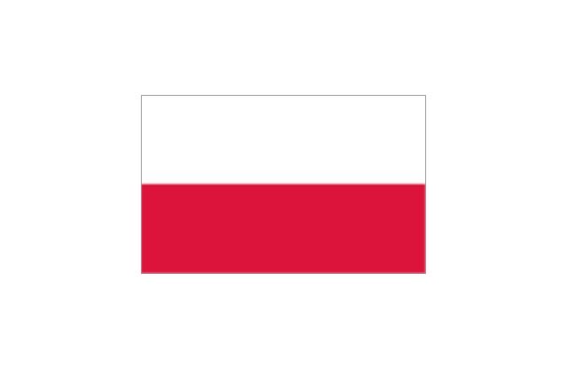
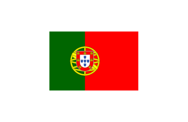
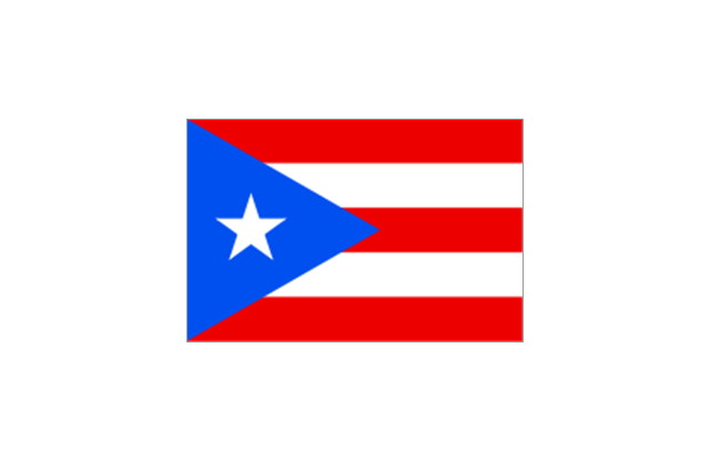
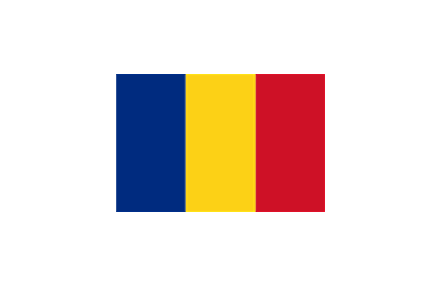
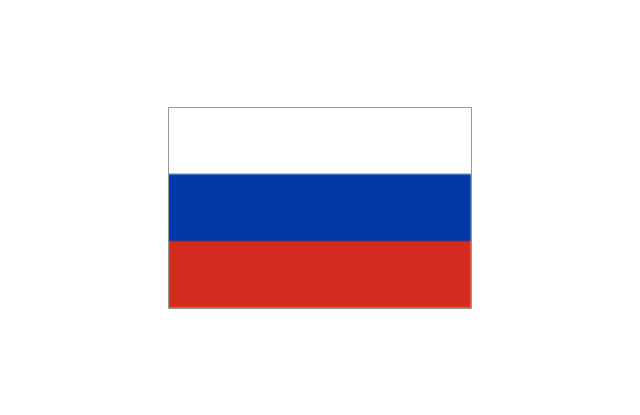
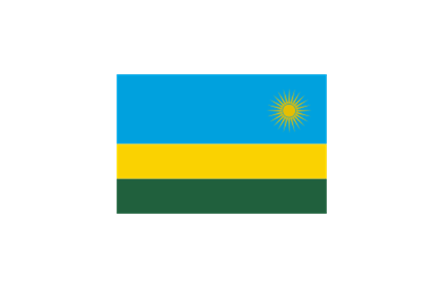
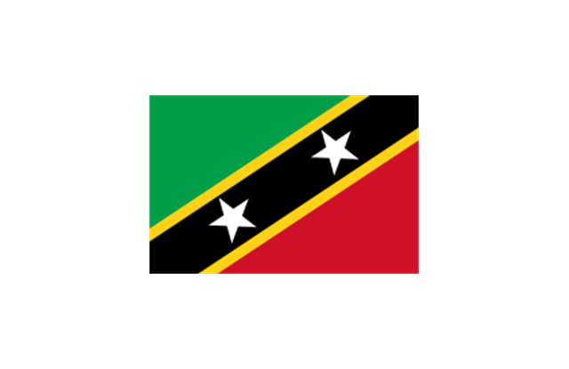
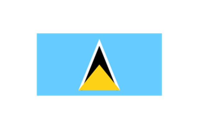
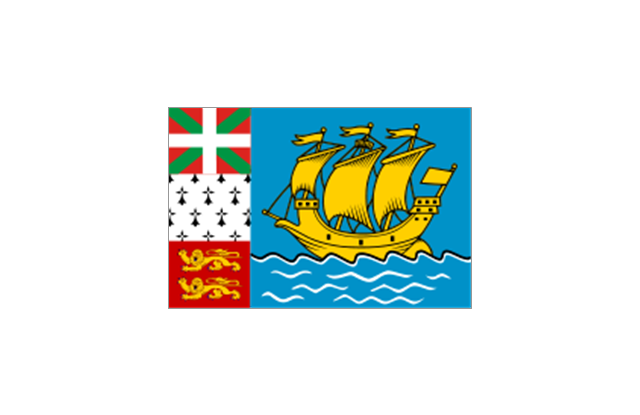
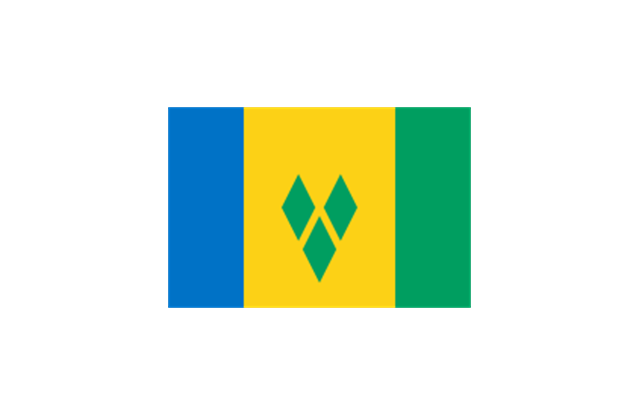
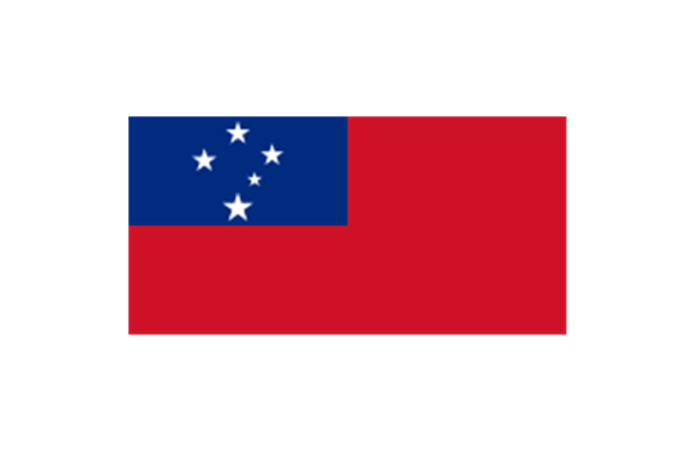
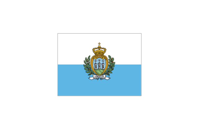
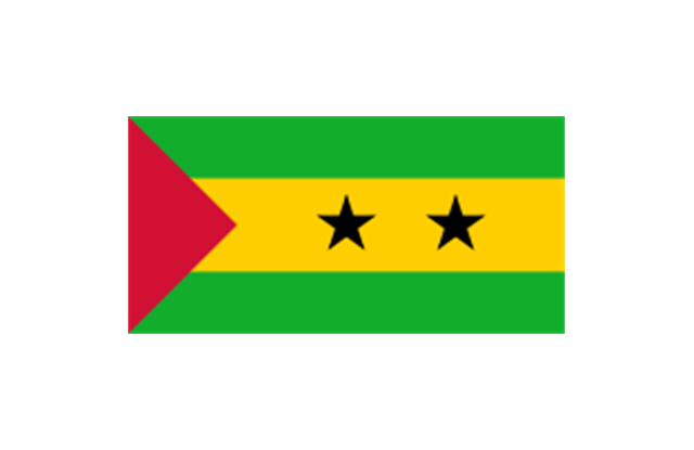
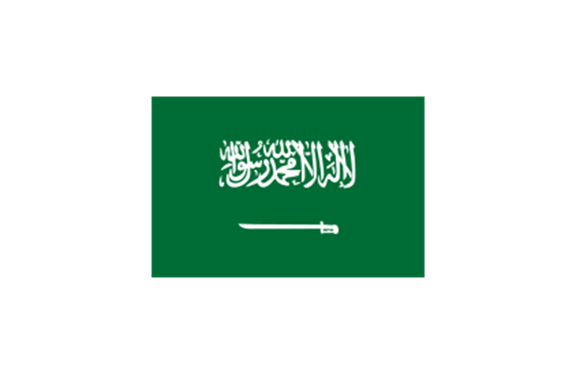
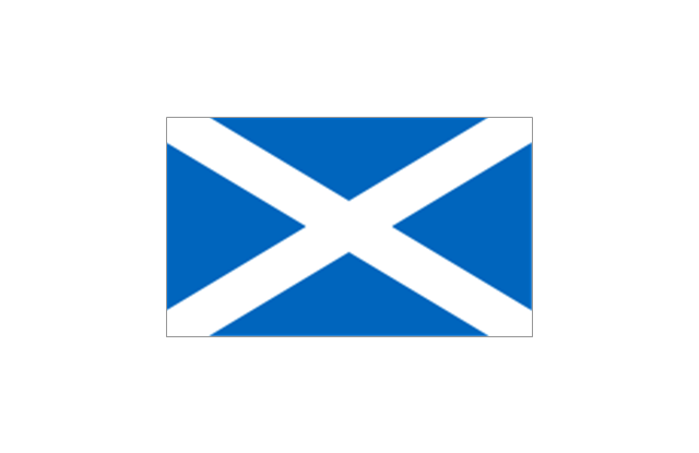
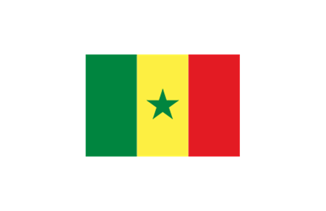
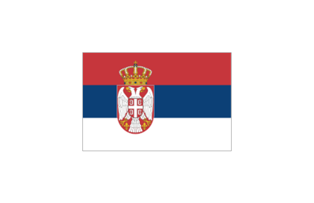
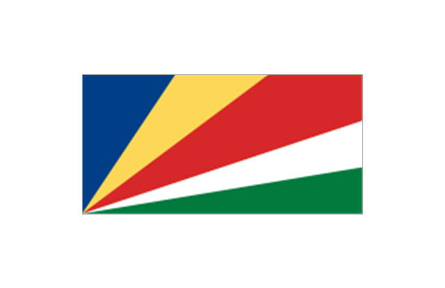
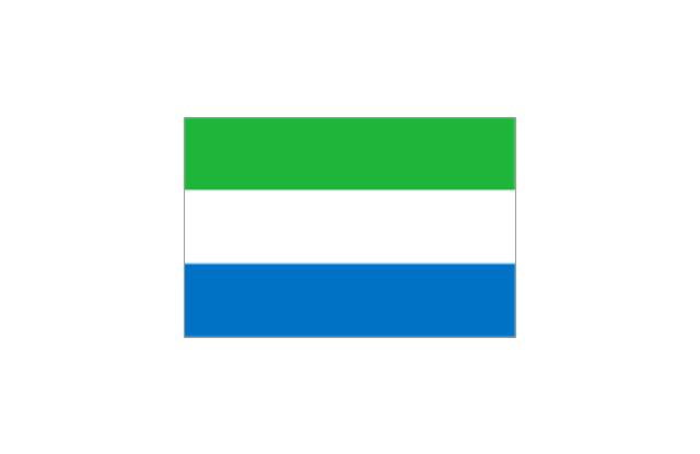
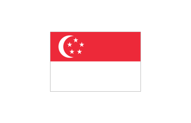
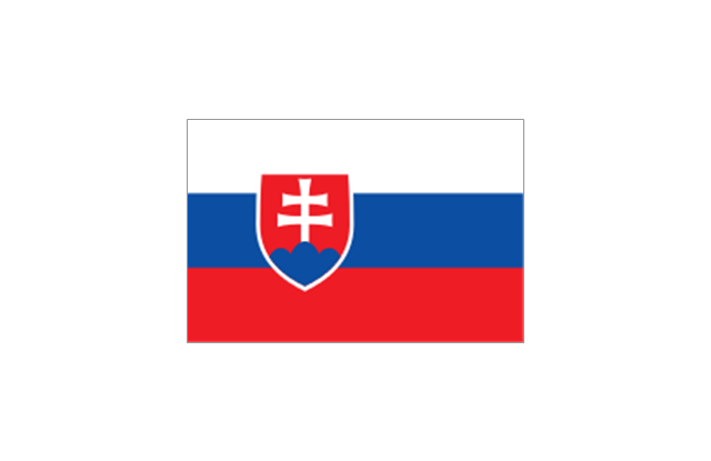
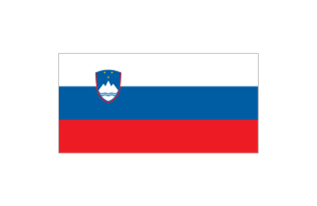
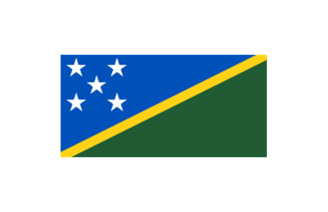
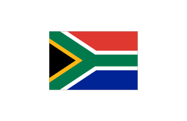
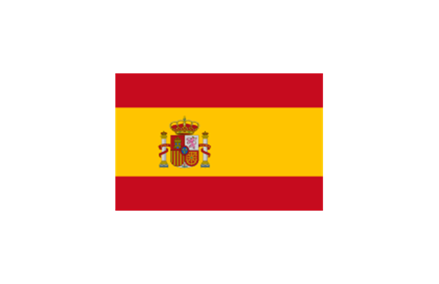
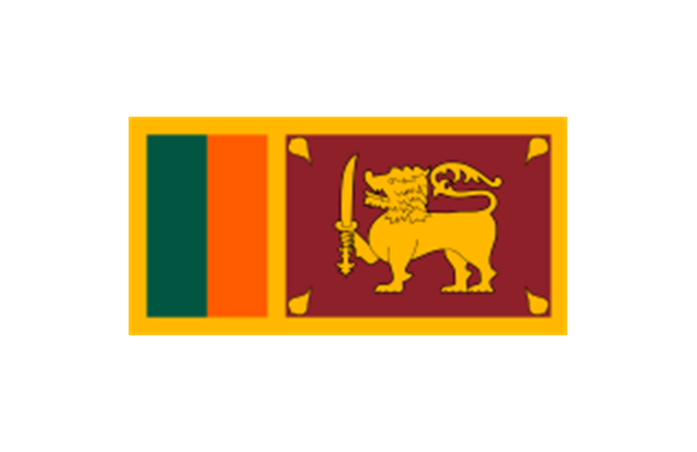
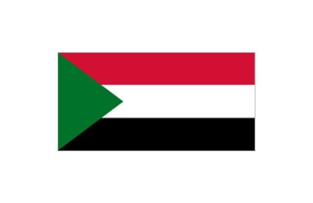
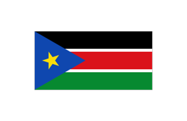
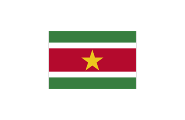
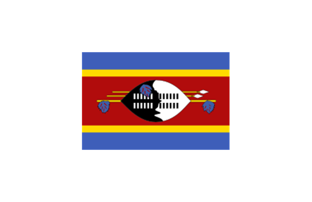
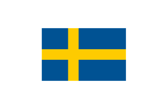
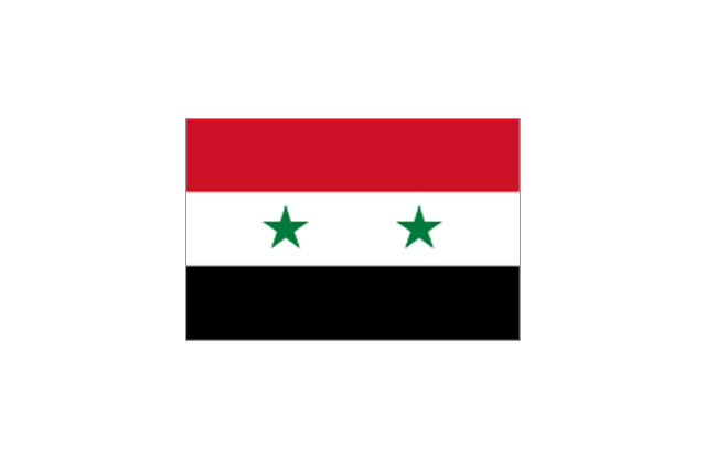
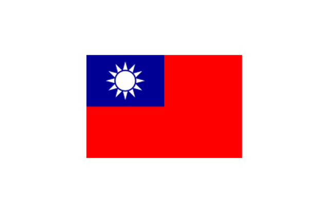
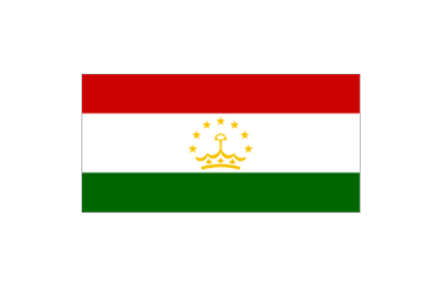
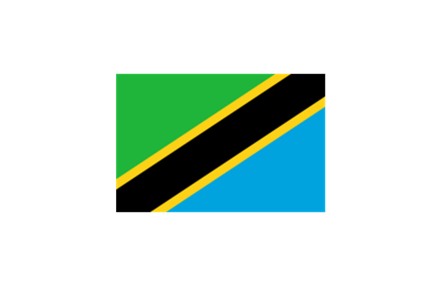
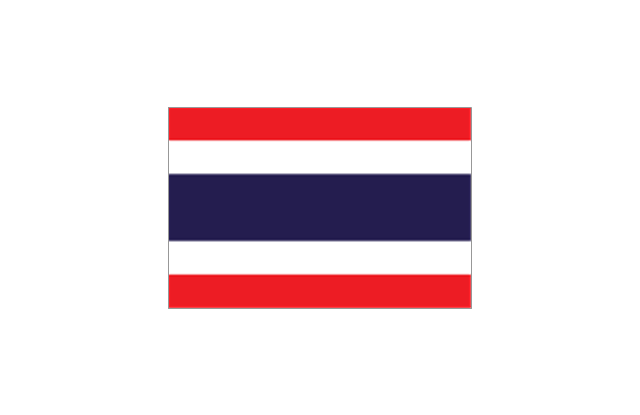
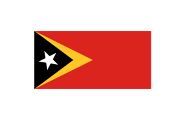
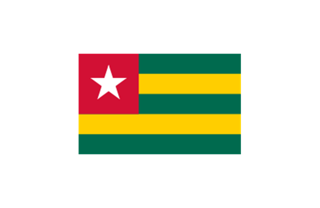
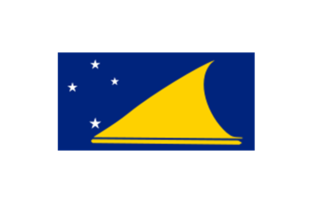
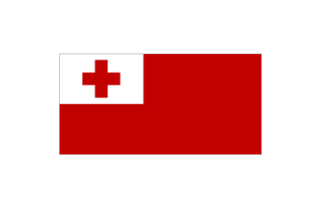
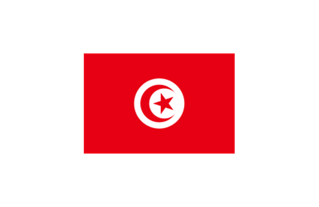
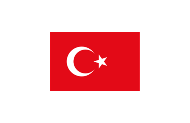
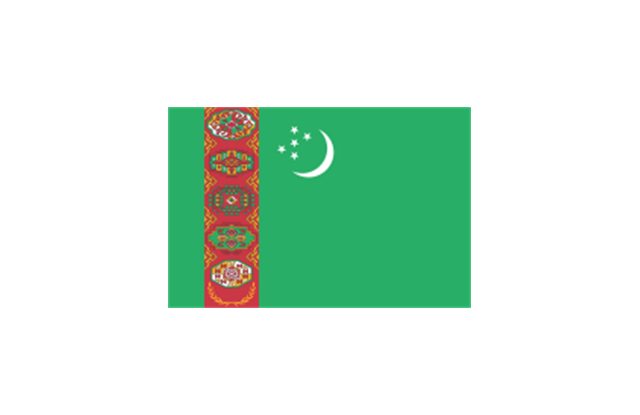
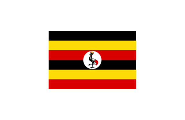
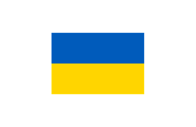
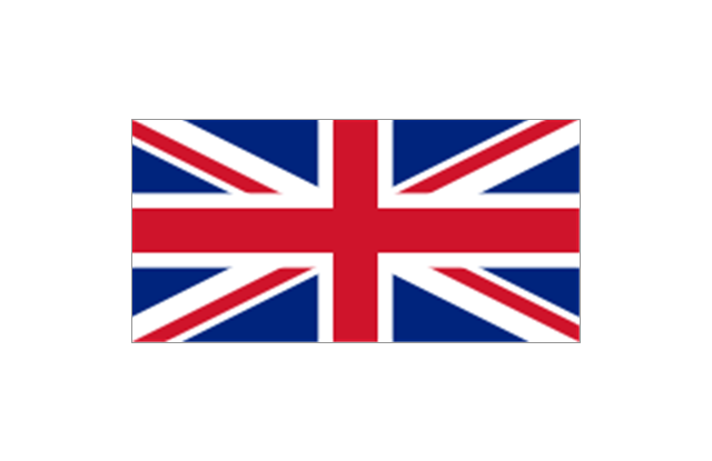
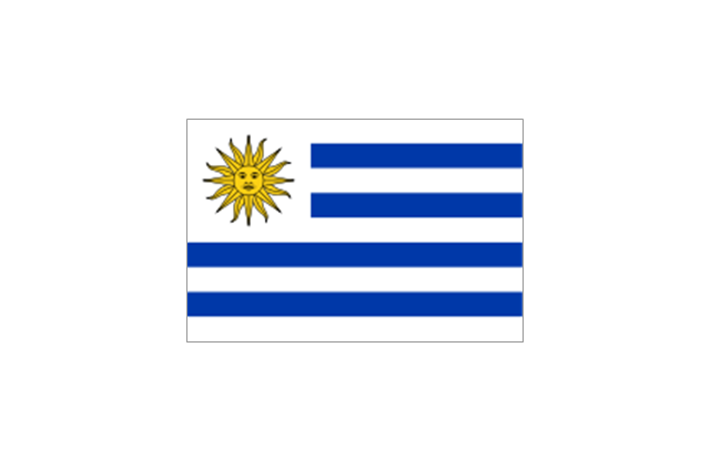
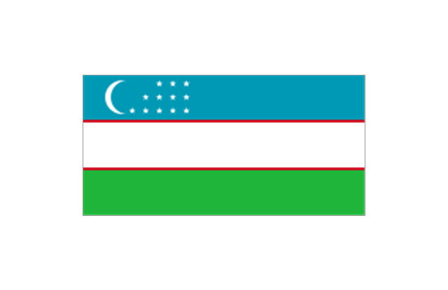
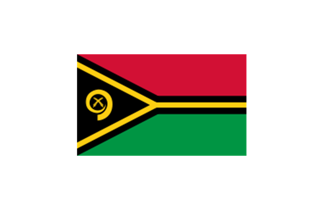
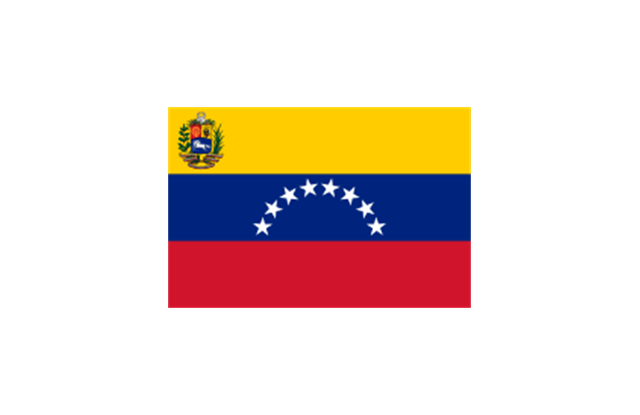
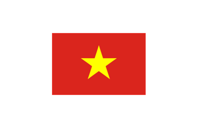
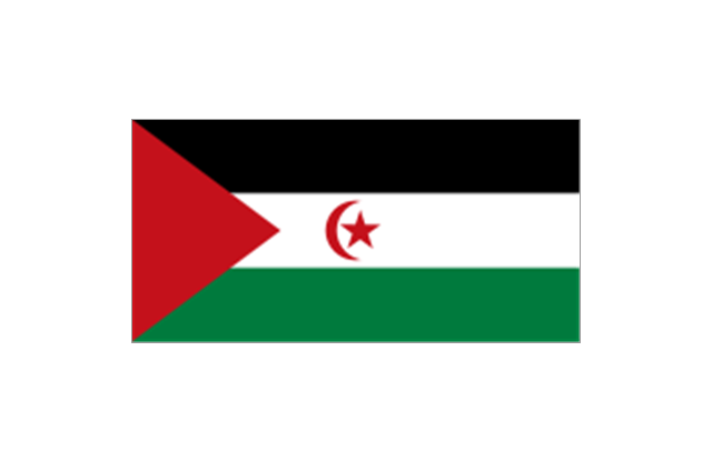
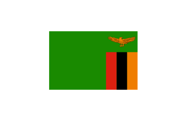
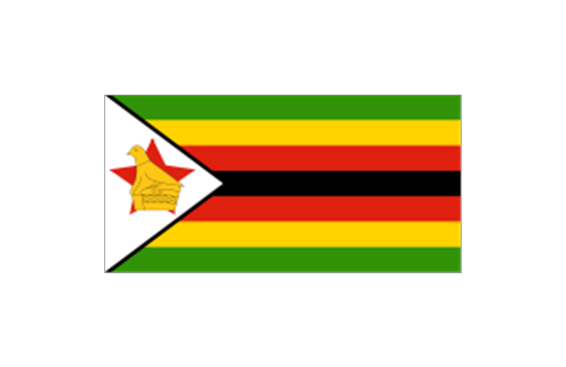
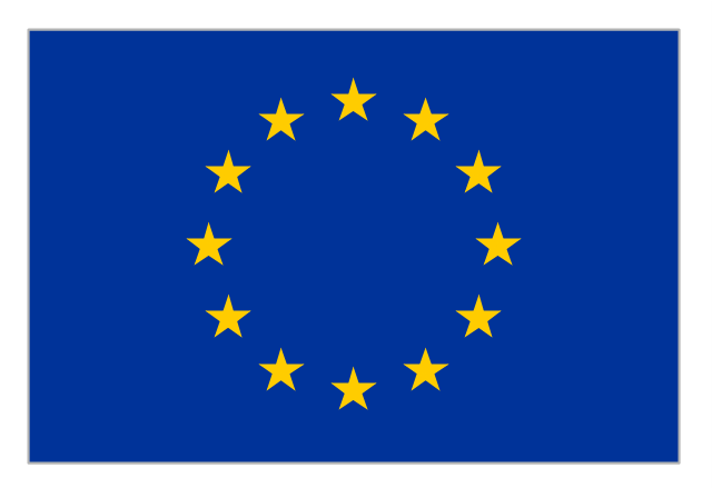
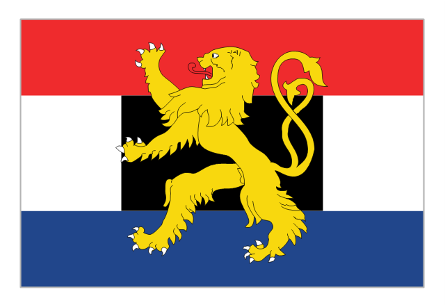
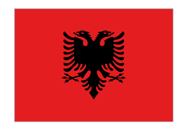
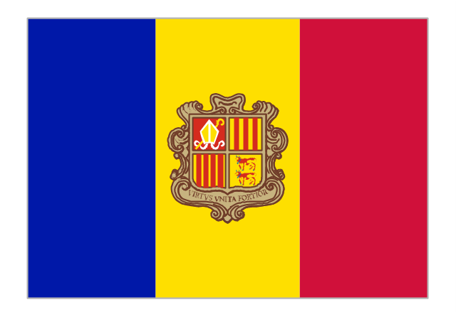
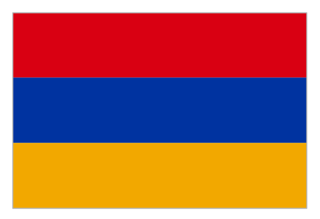
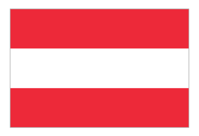
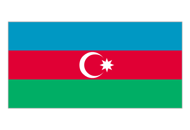
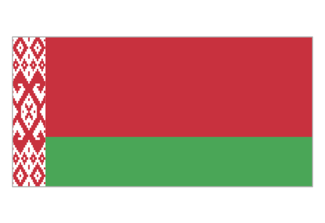
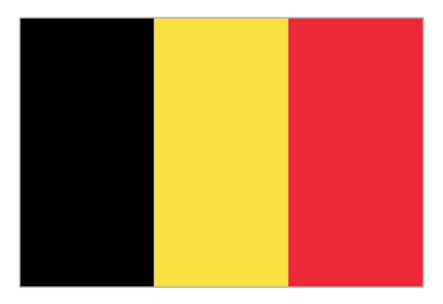
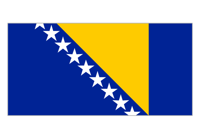
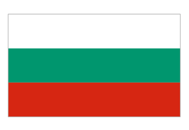
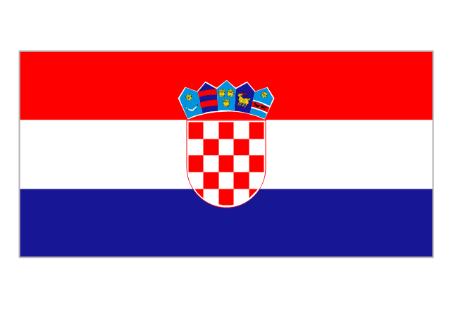
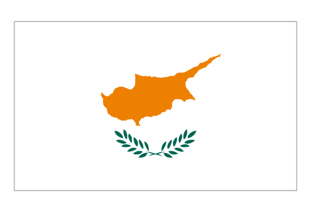
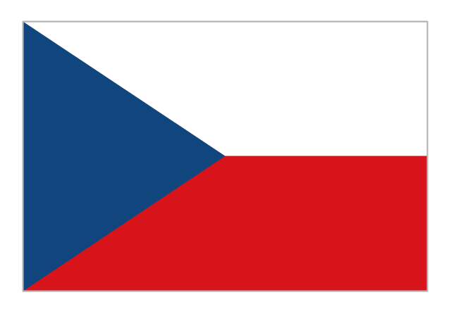
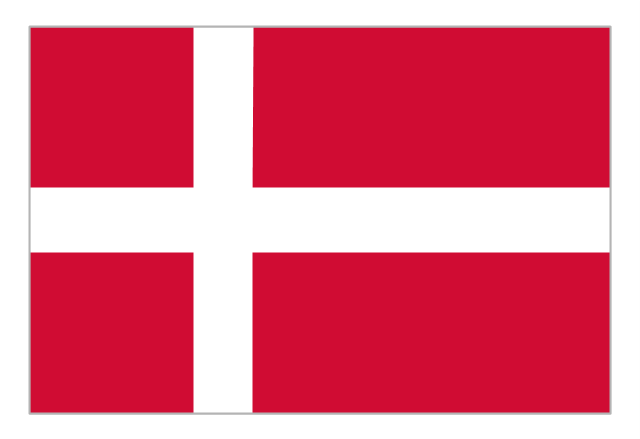
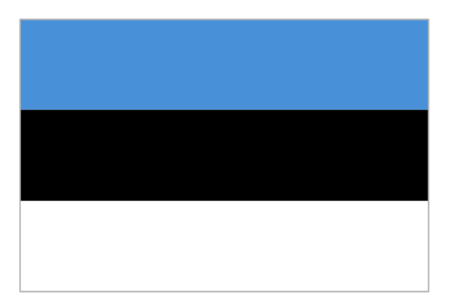
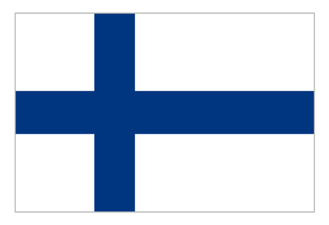
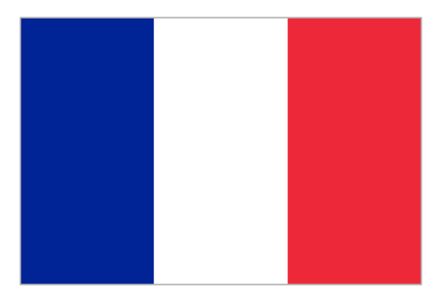
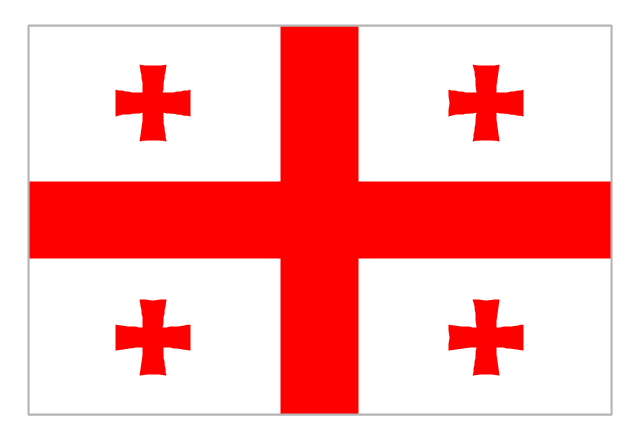
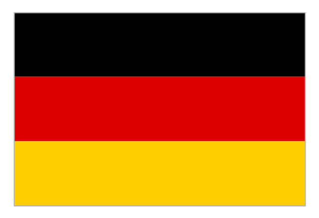
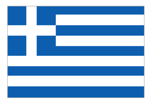
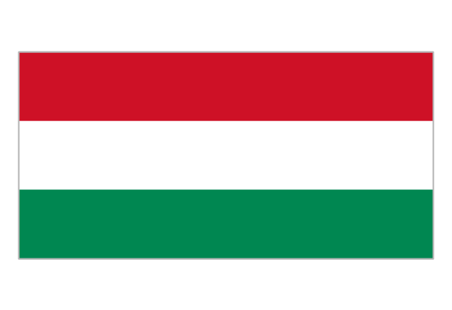
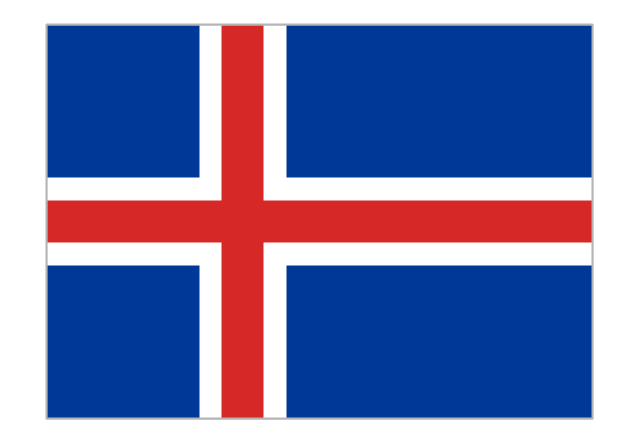
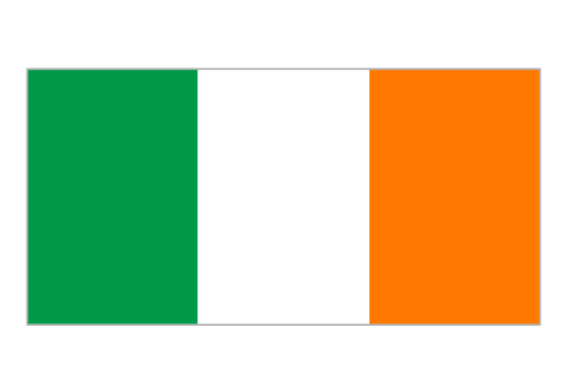
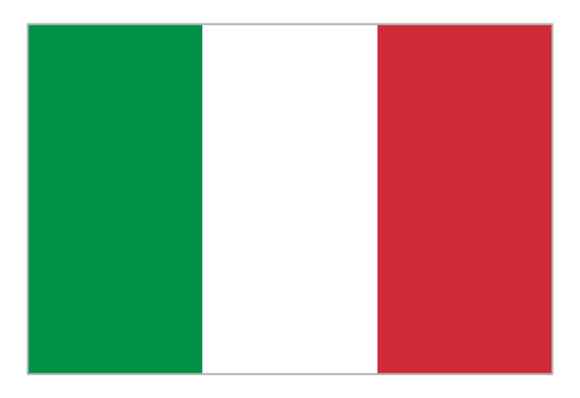
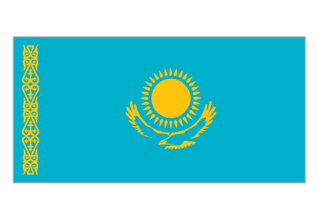
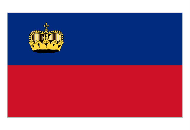
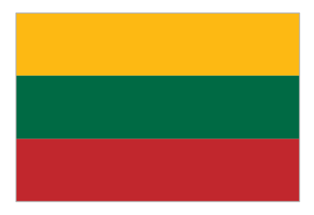
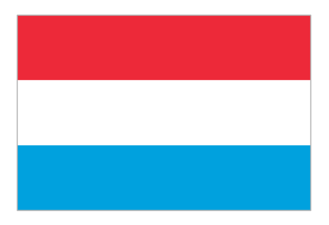
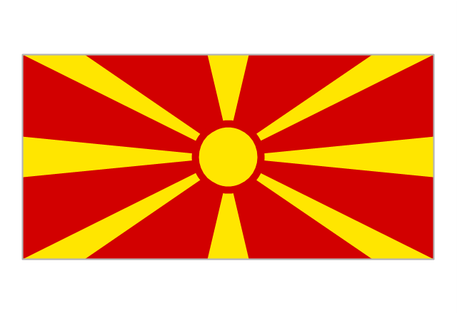
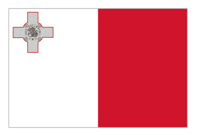
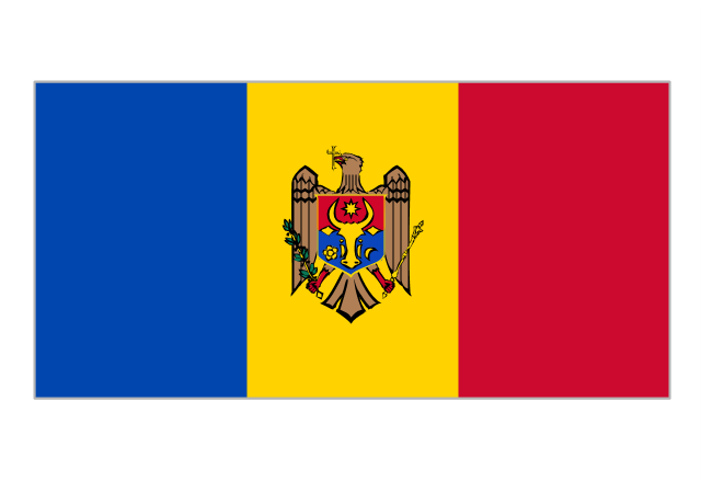
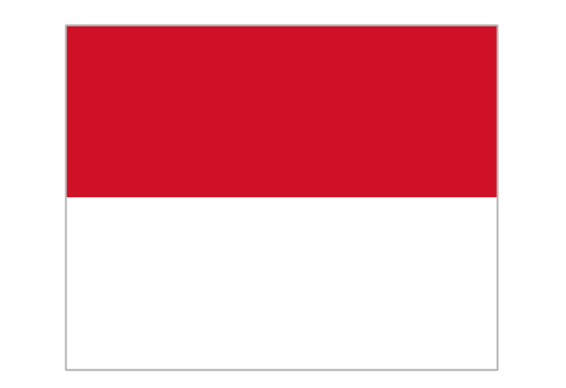
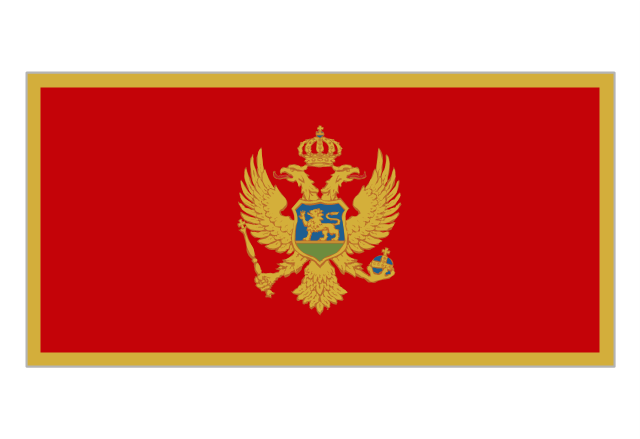
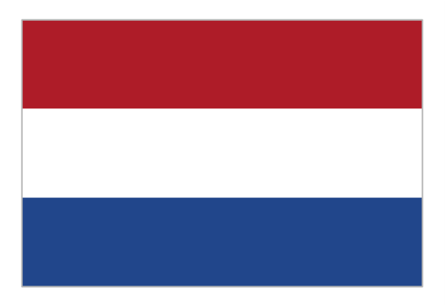
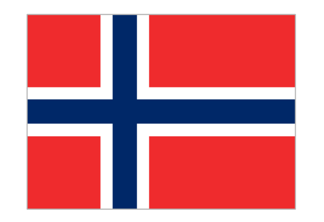
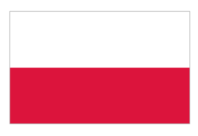
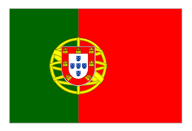
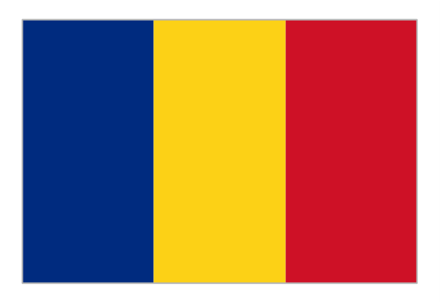
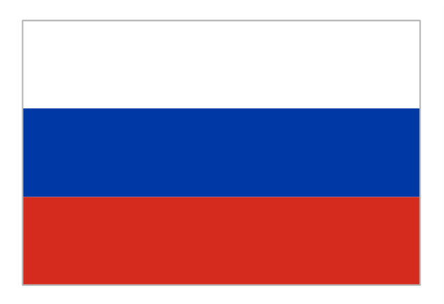
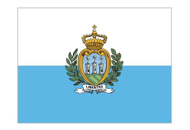
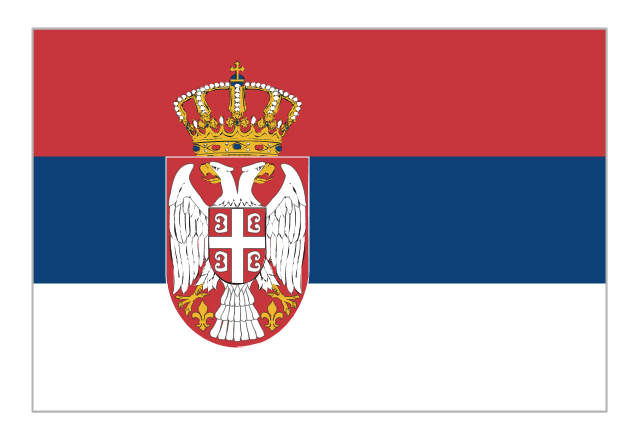
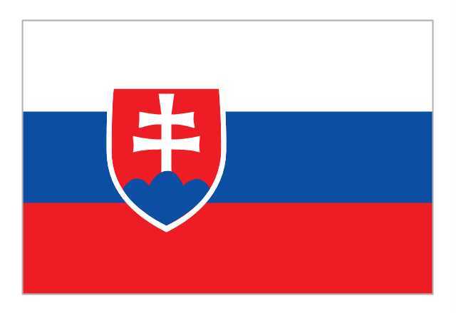
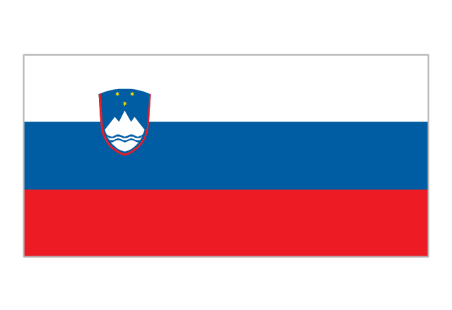
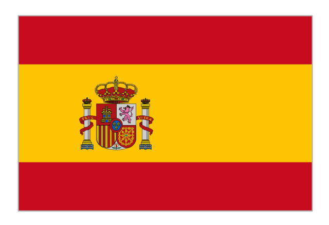
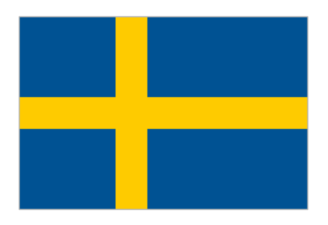
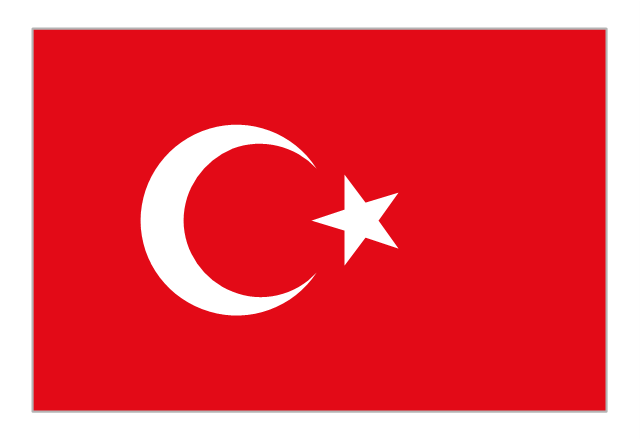
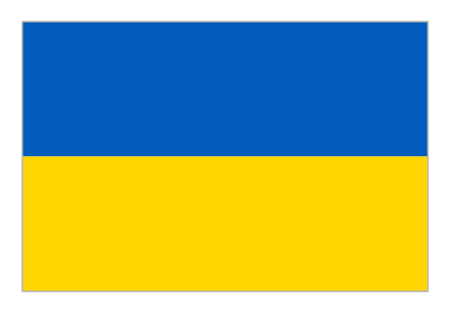
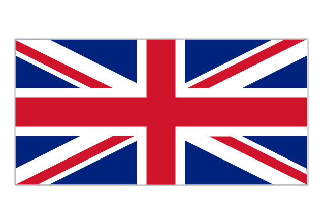
The stencils library "Flags" contains 204 clipart images of state flags.
"There are two separate meanings for the term state flag in vexillology - the flag of the government of a sovereign state, and the flag of an individual subnational state, such as a U.S. state, or a Russian oblast. ...
A state flag is a variant of a national flag (or occasionally a completely different design) specifically designated and restricted by law or custom (theoretically or actually) to use by a country's government or its agencies. For this reason they are sometimes referred to as government flags. In many countries the state flag and the civil flag (as flown by the general public) are identical, but in other countries, notably those in Latin America, central Europe, and Scandinavia, the state flag is a more complex version of the national flag, often featuring the national coat of arms or some other emblem as part of the design. Scandinavian countries also use swallowtailed state flags, to further differentiate them from civil flags.
In addition, some countries have state ensigns, separate flags for use by non-military government ships such as guard vessels. For example, government ships in the United Kingdom fly the blue ensign." [State flag. Wikipedia]
The clip art example "Flags - Stencils library" was created using the ConceptDraw PRO diagramming and vector drawing software extended with the Continent Maps solution from the Maps area of ConceptDraw Solution Park.
www.conceptdraw.com/ solution-park/ maps-continent
Geo Map - Africa - Cameroon
Cameroon, officially the Republic of Cameroon, is a country in the west Central Africa region. The vector stencils library Cameroon contains contours for ConceptDraw DIAGRAM diagramming and vector drawing software. This library is contained in the Continent Maps solution from Maps area of ConceptDraw Solution Park.The vector stencils library "European country flags" contains 51 clipart images of Europe state flags.
Use the European country flags clip art to illustrate your business documents, presentation slides, web pages, geo maps and infographics.
The clip art example "European country flags - Vector stencils library" was created using the ConceptDraw PRO diagramming and vector drawing software extended with the Artwork solution from the Illustration area of ConceptDraw Solution Park.
 Food Court
Use the Food Court solution to create food art. Pictures of food can be designed using libraries of food images, fruit art and pictures of vegetables.
Geo Map - Europe - Austria
The vector stencils library Austria contains contours for ConceptDraw DIAGRAM diagramming and vector drawing software. This library is contained in the Continent Maps solution from Maps area of ConceptDraw Solution Park.Types of Map - Overview
ConceptDraw defines some map types, divided into three categories. Every map type has specific shapes and examples.Examples of Flowcharts, Org Charts and More
ConceptDraw DIAGRAM covers a broad spectrum of business graphics categories and offers at ConceptDraw STORE enormous online collection of pictorial examples and samples for different thematics and application areas. It is a plentiful source of inspiration and wonderful examples of professionally designed diagrams, flowcharts, UML diagrams, organizational charts, databases, ERDs, network diagrams, business charts, different thematic charts, schematics, infographics and plans developed specially for knowledge workers, engineers, managers, businessmen, marketing specialists, analytics, scientists, students, professors, journalists and also for a large number of other people that every day use various diagrams and drawings in their work and life activity. Each of these examples is a real art, all they are well thought-out and designed without efforts with help of powerful tools of ConceptDraw DIAGRAM software. ConceptDraw examples display all variety of tasks, possibilities and results that ConceptDraw Product Line lets achieve fast and easy. ConceptDraw is one of the best Visio alternatives for Mac. It open all Visio formats like.vsdx,.vss,.vdx files and allows you to export files to Visio formats.
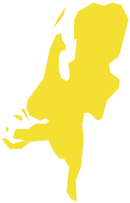
Geo Map - Europe - Netherlands
The vector stencils library Netherlands contains contours for ConceptDraw DIAGRAM diagramming and vector drawing software. This library is contained in the Continent Maps solution from Maps area of ConceptDraw Solution Park.UML Notation
Unified Modeling Language (UML) is an open standard, the language of graphic description used for modeling objects in a field of software development and software engineering. It was created for definition, specification, visualization, designing and documenting software systems, as a unification of three object-oriented technologies Booch, OMT and OOSE, and uses the defined graphic notation for creating the visual models of object-oriented software systems. Description of UML consists of two parts, interactive and supplementing each other: UML semantics, which represents a certain metamodel, defines the abstract syntax and semantics of terms of object modeling with UML, and UML notation that is a graphic notation for visual representation of UML semantics. The powerful tools of the Rapid UML solution included to ConceptDraw Solution Park make the ConceptDraw DIAGRAM diagramming and vector drawing software the best for easy applying the UML notation when creating the visual models of object-oriented software systems and designing different kinds of UML diagrams.Geo Map — United States of America Map
United States of America (USA) is a federal republic that includes 50 states and a federal district. It is the third largest country by population, fourth by the total area, and one of the most diverse in respect of nationalities and cultures. ConceptDraw DIAGRAM software extended with Continent Maps solution is ideal to draw professional looking Geological map of United States of America, USA map with states, the separate maps of different states of America, thematic maps, geospatial infographics, and varied vector illustrations for your business documents, presentations and websites. Use the pre-designed vector geo map shapes offered by numerous libraries, in particular by the United States of America library that contains 53 United States of America map contours. Each map is scaled, with the option to add the further levels of detail, thus the county borders, their names, capitals, and major cities can be instantly shown or hidden using the Action menu for each state map. ConceptDraw DIAGRAM software gives you a full control over the map size, shading, color fills and alignment.Geo Map — Europe — Germany
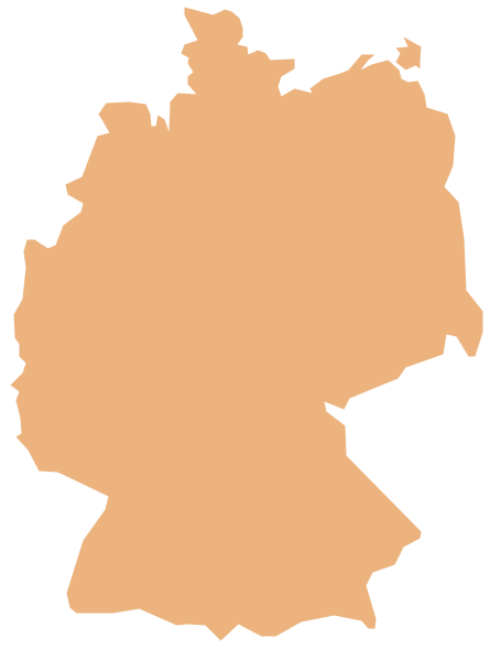
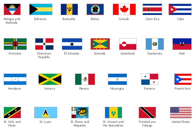
The vector stencils library Germany contains contours for ConceptDraw DIAGRAM diagramming and vector drawing software. This library is contained in the Continent Maps solution from Maps area of ConceptDraw Solution Park.The vector stencils library "North and Central America country flags" contains 26 North and Central American state flags clipart.
Use this clip art library to illustrate your business documents, presentation slides, webpages, infographics.
The clip art example "Design elements - North and Central America country flags" was created using the ConceptDraw PRO diagramming and vector drawing software extended with the Artwork solution from the Illustration area of ConceptDraw Solution Park.
 Winter Sports
The Winter Sports solution from Sport area of ConceptDraw Solution Park contains winter sports illustration examples, templates and vector clipart libraries.
Pyramid Diagram
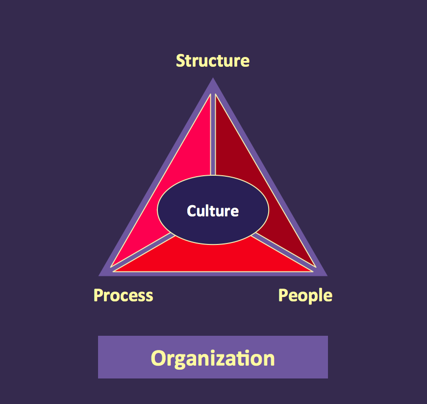
At the base of the identity of an organisational is its organizational culture."Alpine skiing is the sport of sliding down snow-covered hills on skis with fixed-heel bindings. It is also commonly known as downhill skiing, although that also incorporates different styles. Alpine skiing can be contrasted with skiing using free-heel bindings; ski mountaineering and nordic skiing – such as cross-country; ski jumping; and Telemark. Alpine skiing is popular wherever the combination of snow, mountain slopes, and a sufficient tourist infrastructure can be built up, including parts of Europe, North America, Australia and New Zealand, the South American Andes, and East Asia.
Alpine skiing began as a club sport 1861 at Kiandra in Australia and a number of similar clubs in North America and the Austrian and Swiss Alps. Today, most alpine skiing occurs at a ski resort with ski lifts that transport skiers up the mountain. The snow is groomed, avalanches are controlled and trees are cut to create trails. Many resorts also include snow making equipment to provide skiing when the weather would otherwise not allow it. Alternatively, alpine skiers may pursue the sport in less controlled environments; this practice is variously referred to as ski touring, backcountry skiing, or extreme skiing.
In competitive alpine skiing races four disciplines exist: slalom, giant slalom, super giant slalom, and downhill. Slalom ski races have courses that require short tight turns, whereas giant-slalom races have courses which are set with more widely spaced turns. Super-giant slalom and downhill have few turns, the courses have gates spaced widely apart and skiers often reach 100 km/ h." [Alpine skiing. Wikipedia]
The vector icon example "Alpine skiing" represents one of 20 symbols from the Winter sports pictograms library for the ConceptDraw PRO diagramming and vector drawing software.
The design elements library Winter sports pictograms is included in the Winter Sports solution from the Sport area of ConceptDraw Solution Park.
- Flags - Stencils library | Rail transport - Design elements | Ship Logo
- Logo Png
- Football Jersey Logo Design
- Airport Logo For Visio
- Asia Map Logo Png
- India Map Logo Png
- United Arab Flag Logos
- Iran Map Logo Png
- Internet Network Png Logo
- Ecuador Logo How To Draw
- India Logo
- UML deployment diagram - Real estate transactions | Social media ...
- Logo Design Png
- Taxi service - Workflow diagram | Workflow Process Example | Taxi ...
- Taxi service - Workflow diagram | Workflow Process Example ...
- Flags - Stencils library | European country flags - Vector stencils ...
- Logo Olympic Vector
- Local area network (LAN). Computer and Network Examples ...
- Bangladesh Flag Logo Png
- Chemical Engineering Logo Designs
