 Directional Maps
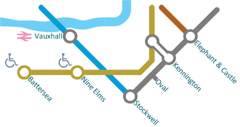
Directional Maps solution extends ConceptDraw PRO software with templates, samples and libraries of vector stencils for drawing the directional, location, site, transit, road and route maps, plans and schemes.
 Maps
Maps
This solution extends ConceptDraw PRO v9.4 with the specific tools necessary to help you draw continental, directional, road, or transit maps, to represent international, business, or professional information visually.
HelpDesk
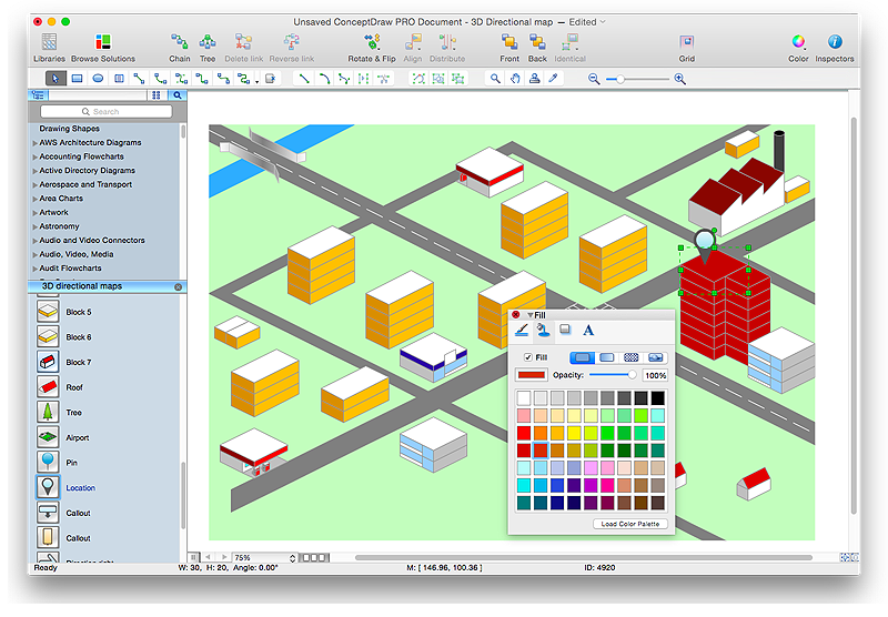
How to Create a Directional Map Using ConceptDraw PRO
Travelers often use directional maps to find directions for certain places. These maps are guide millions of tourists to explore towns and cities worldwide. Searching addresses on a map, view nearby businesses, get driving directions - this is only a little of what directional maps is needed. ConceptDraw PRO allows you to create various kinds of directional maps. You can easily visualize city maps or destinations with driving directions and traveler information using special vector stencils libraries.Tools to Create Your Own Infographics
Over the past few centuries, data visualization has evolved so much that we use it every day in all areas of our lives. Many believe that infographic is an effective tool of storytelling, as well as analytics, and that it is able to overcome most of the language and educational barriers. Understanding the mechanisms of human perception will help you to understand how abstract forms and colors used in data visualization can transmit information more efficient than long paragraphs of text.Spatial Infographics
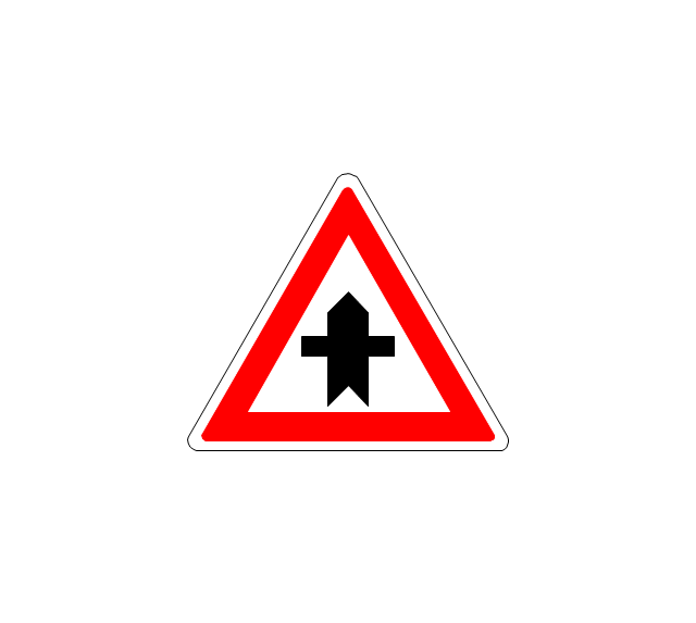
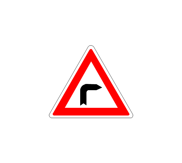
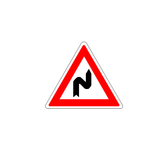
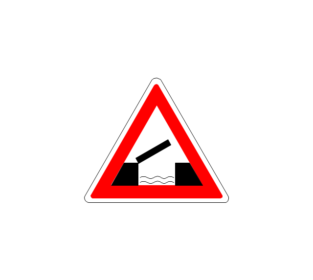
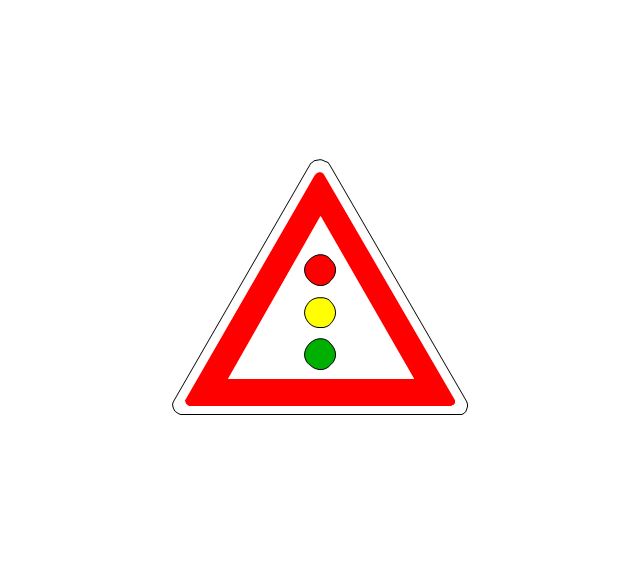
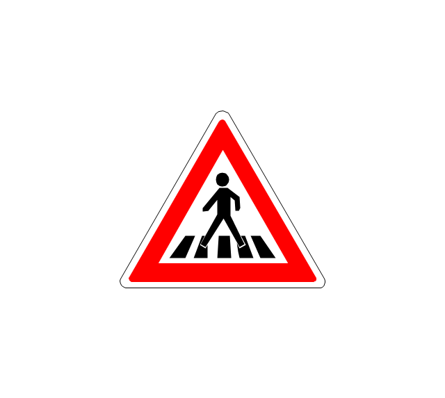
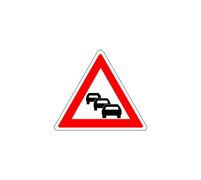
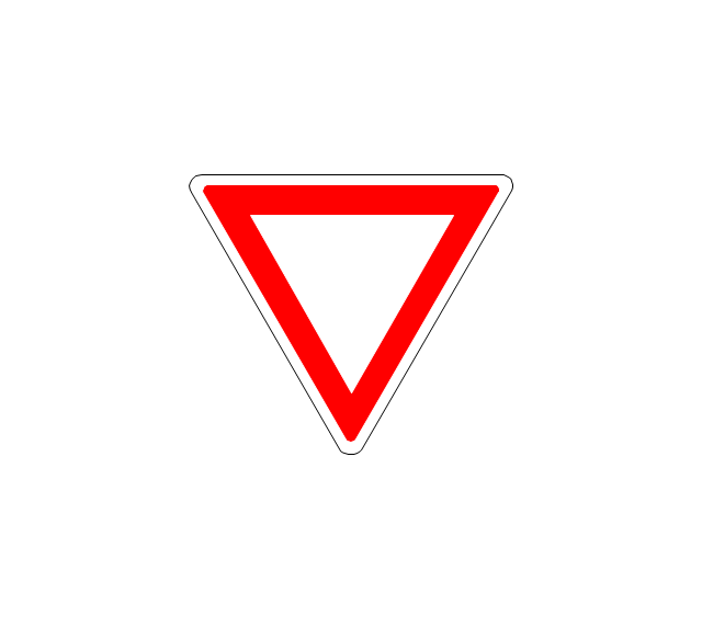
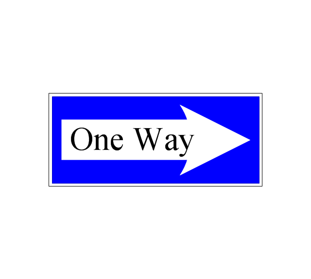
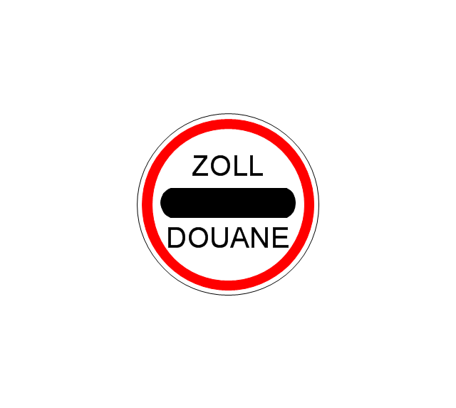
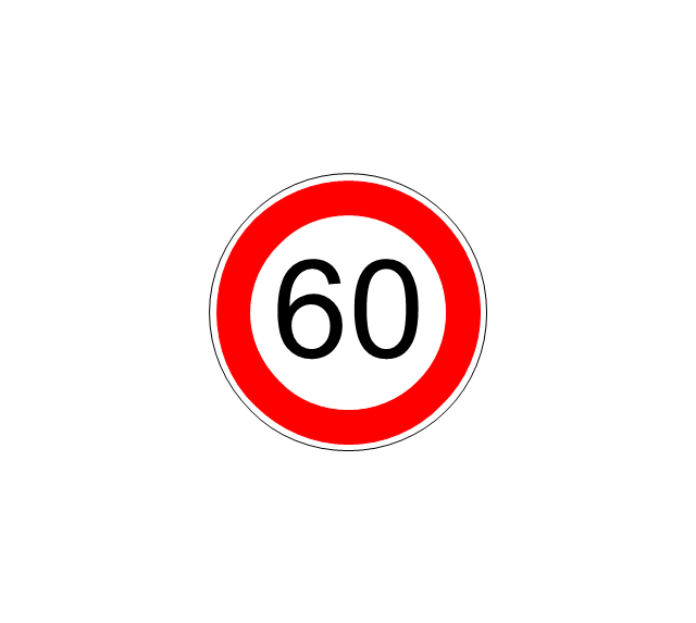
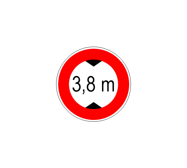
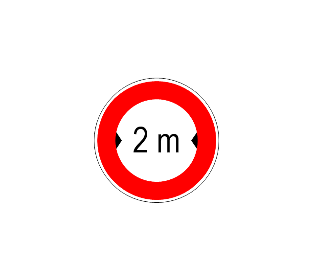
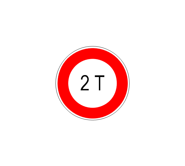
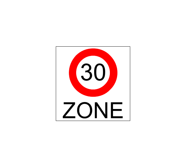
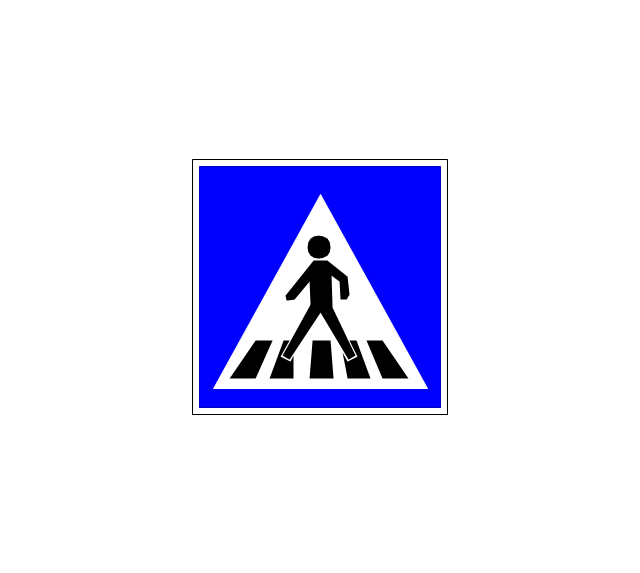
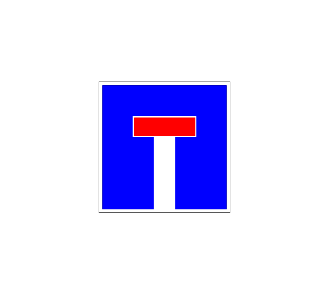
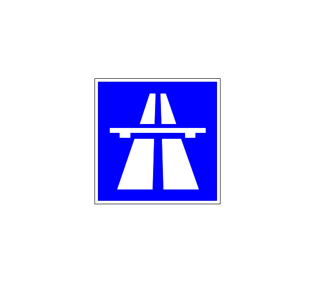
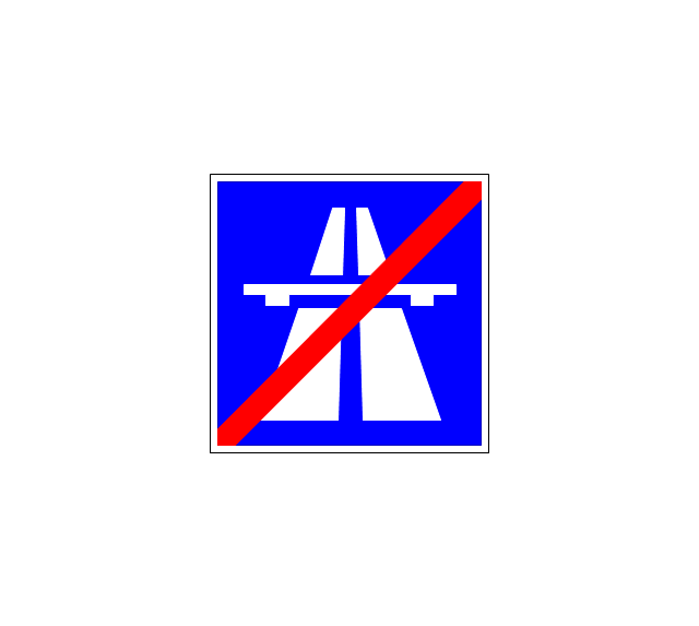
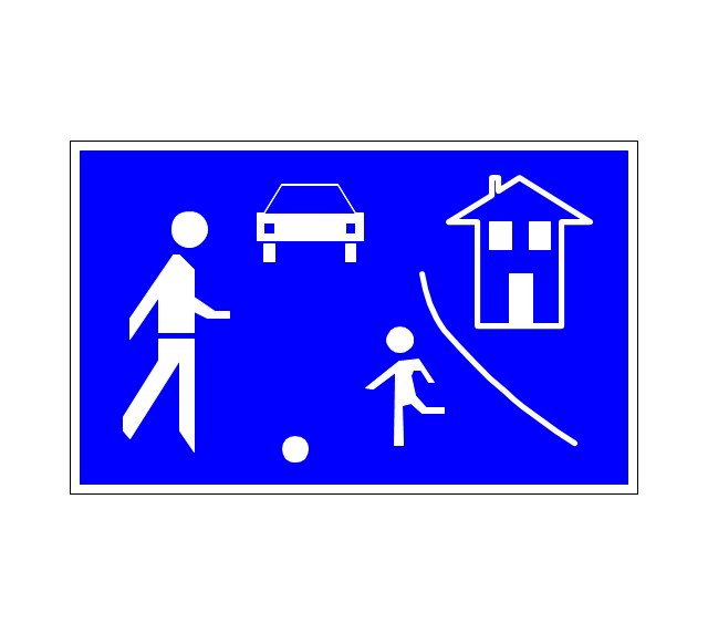
Not everyone can make spatial infographics from scratch, ConceptDraw will help you to create your own infographics.The vector stencils library "Road signs" contains 58 symbols of road signs for labeling the road and route maps, directional and transit maps, street and locator maps.
"Traffic signs or road signs are signs erected at the side of or above roads to give instructions or provide information to road users.
... many countries have adopted pictorial signs or otherwise simplified and standardized their signs to overcome language barriers, and enhance traffic safety. Such pictorial signs use symbols (often silhouettes) in place of words and are usually based on international protocols. Such signs were first developed in Europe, and have been adopted by most countries to varying degrees." [Traffic sign. Wikipedia]
The pictograms example "Road signs - Vector stencils library" was created using the ConceptDraw PRO diagramming and vector drawing software extended with the Directional Maps solution from the Maps area of ConceptDraw Solution Park.
www.conceptdraw.com/ solution-park/ maps-directional
- Directional Maps | Tree Road In 3d To Draw
- Directional Maps | How to Create a Directional Map Using ...
- Directional Maps | Design elements - 3D directional maps | 3D ...
- Directional Map Drawing Software
- Directional Maps | Design elements - 3D directional maps ...
- Directions Maps | Directional Maps | How to Draw an Organization ...
- Directional Maps | Design elements - 3D directional maps | Design ...
- Design elements - 3D directional maps | Directional Maps ...
- Directional Maps | 3D Network Diagram Software | Maps and ...






























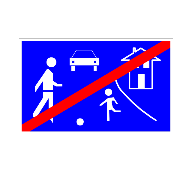
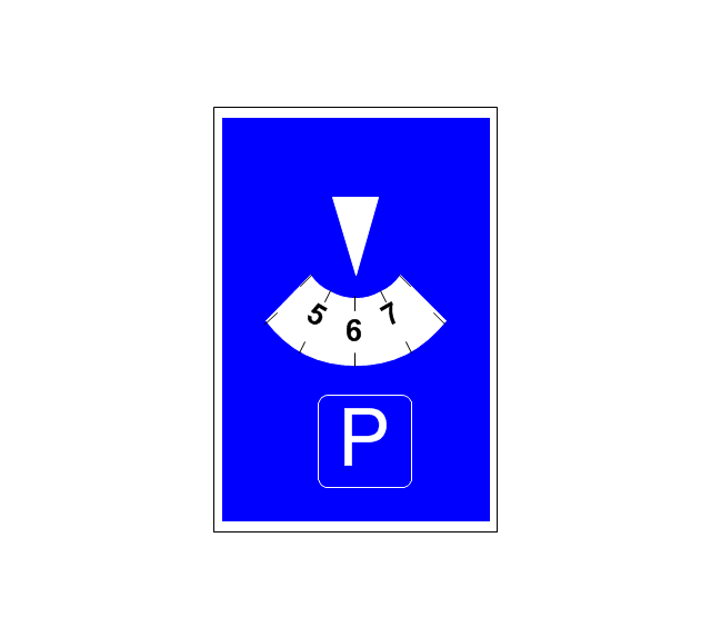
-road-signs---vector-stencils-library.png--diagram-flowchart-example.png)

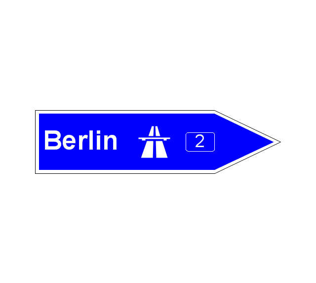
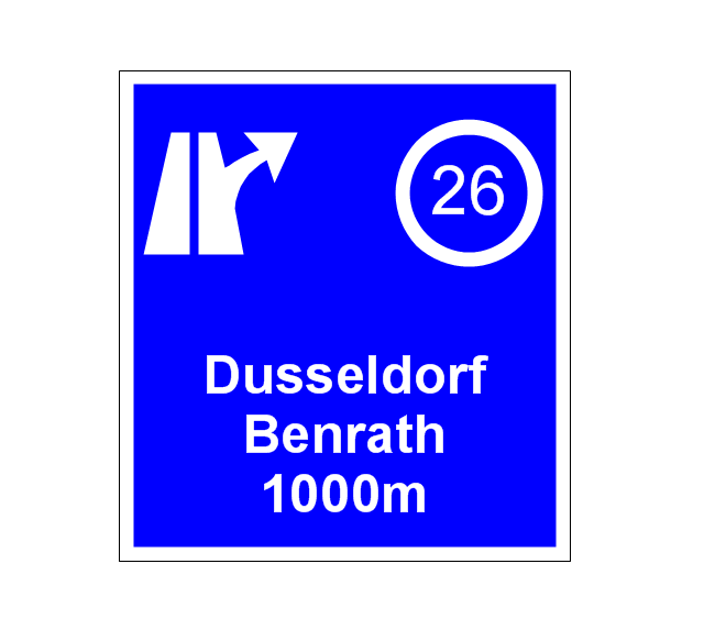
-road-signs---vector-stencils-library.png--diagram-flowchart-example.png)