 Metro Map
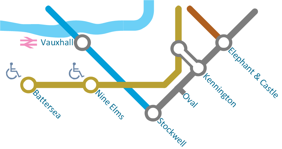
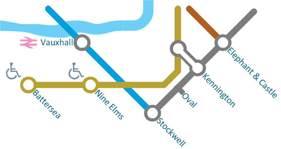
Metro Map solution extends ConceptDraw PRO software with templates, samples and library of vector stencils for drawing the metro maps, route maps, bus and other transport schemes, or design tube-style infographics.
The vector stencils library "Transport map" contains 96 pictograms for drawing transport maps.
Use it in your spatial infographics for visual representation of transport schemes and plans as metro maps in the ConceptDraw PRO diagramming and vector drawing software extended with the Spatial Infographics solution from the area "What is Infographics" of ConceptDraw Solution Park.
Use it in your spatial infographics for visual representation of transport schemes and plans as metro maps in the ConceptDraw PRO diagramming and vector drawing software extended with the Spatial Infographics solution from the area "What is Infographics" of ConceptDraw Solution Park.
 ConceptDraw Solution Park
ConceptDraw Solution Park collects graphic extensions, examples and learning materials
 Spatial Infographics
Spatial infographics solution extends ConceptDraw PRO software with infographic samples, map templates and vector stencils libraries with design elements for drawing spatial information graphics.
Excellent Examples of Infographic Maps
Create Spatial infographics with ConceptDraw using its excellent examples of infographic maps. We hope these can inspire and teach you!HelpDesk
How to Draw Maps of Australia Using ConceptDraw PRO
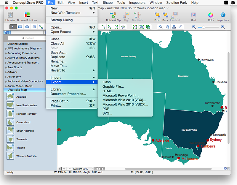
Australia is the sixth largest country in the world. Australia consists from the mainland which is surrounded by many thousands of small fringing islands and numerous larger ones. The vast territories, aligned with interesting historic features across a wide expanse, make the thematic map an ideal way of depicting geographical, geological and political information related to Australia.The Australia Map solution for ConceptDraw PRO will help you to make the steps of the creativeness easy and intuitive. The Australia Map solution provides templates and samples along with vector stencils to get you started. Used together with other ConceptDraw PRO solutions it will allow you to create comprehensive geography-related infographics.
 Maps
Maps
This solution extends ConceptDraw PRO v9.4 with the specific tools necessary to help you draw continental, directional, road, or transit maps, to represent international, business, or professional information visually.
 Seven Management and Planning Tools
Seven Management and Planning Tools solution extends ConceptDraw PRO and ConceptDraw MINDMAP with features, templates, samples and libraries of vector stencils for drawing management mind maps and diagrams.
Spatial Infographics
Not everyone can make spatial infographics from scratch, ConceptDraw will help you to create your own infographics.- How to draw Metro Map style infographics? (Los Angeles) | Metro ...
- Metro Map | Maps | How to draw Metro Map style infographics ...
- Metro Map | How to draw Metro Map style infographics? Moscow ...
- How to draw Metro Map style infographics? Moscow, New York, Los ...
- Metro Map | How to draw Metro Map style infographics? (New York ...
- How to draw Metro Map style infographics? Moscow, New York, Los ...
- How to draw Metro Map style infographics? (New York) | Subway ...
- How to draw Metro Map style infographics? Moscow, New York, Los ...
- Value Stream Mapping | Fire Exit Plan | How to draw Metro Map ...
- Network Diagram Examples | Network Topology | How to draw Metro ...
- How To Draw Building Plans | How to draw Metro Map style ...
- How to draw Metro Map style infographics? (New York) | How to ...
- How to draw Metro Map style infographics? (New York) | How to ...
- Infographic design elements, software tools Subway and Metro style ...
- How to draw Metro Map style infographics? Moscow, New York, Los ...
- UML Class Diagram Tutorial | How to draw Metro Map style ...
- Metro Map | How to draw Metro Map style infographics? (Moscow ...
- How To Draw Building Plans | How to draw Metro Map style ...
- Metro Map | How to draw Metro Map style infographics? (Los ...
- Map Infographic Creator | How to draw Metro Map style infographics ...


