Brilliant Examples of Infographics Map, Transport, Road
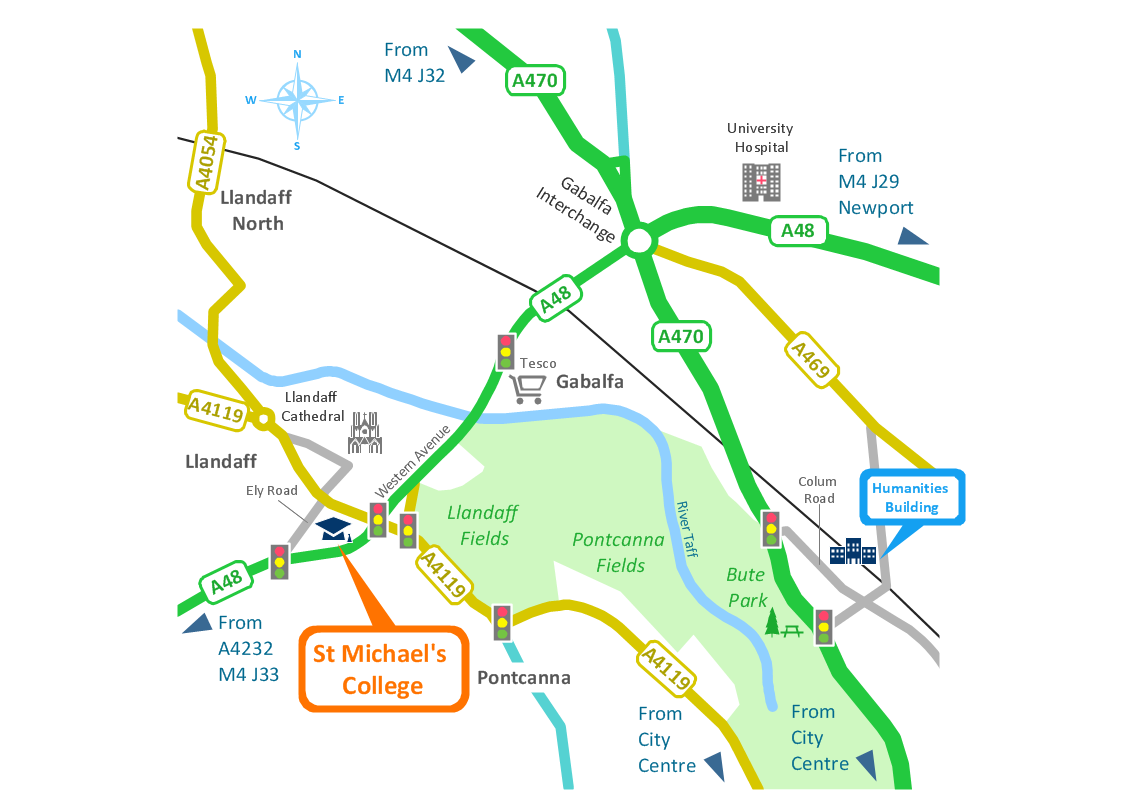
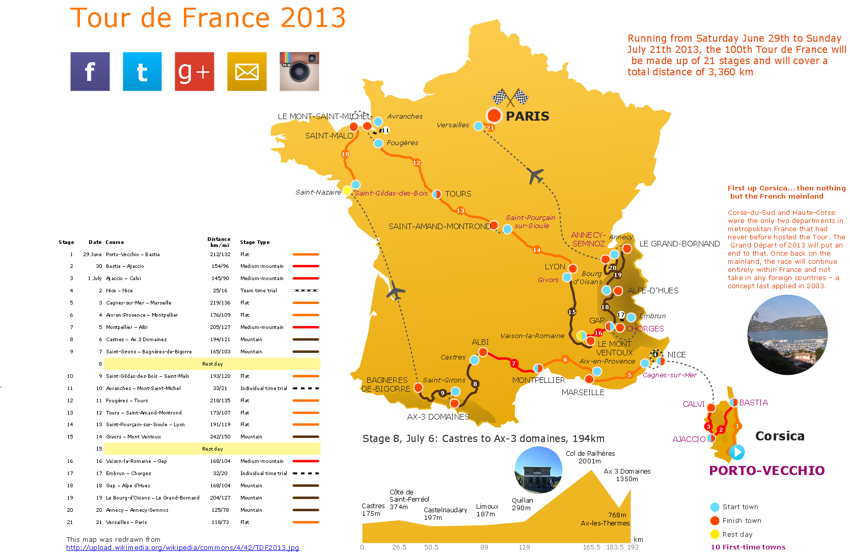
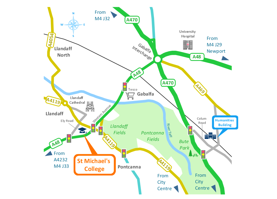
ConceptDraw PRO contains spatial infographics samples, map templates to be filled in, and libraries of vector stencils for main design elements of spatial infographics.Transportation Infographics
ConceptDraw is a visualization Software for making transportation infographics. Infographics design vector elements and vector graphics which will surely help you in your design process.How to Draw Pictorial Chart. How to Use Infograms
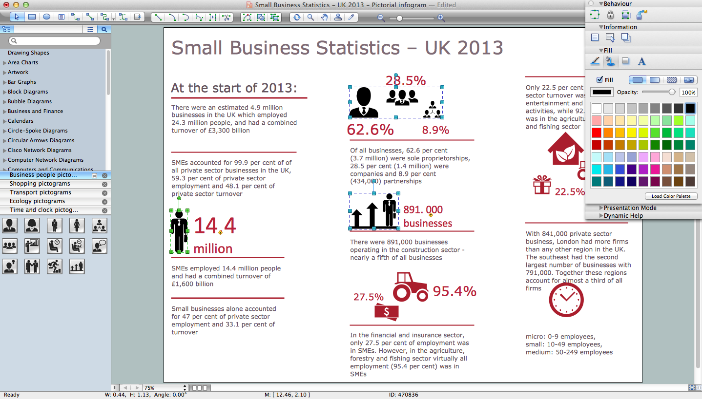
How to draw pictorial chart quick, easy and effective? ConceptDraw PRO offers the unique Pictorial Infographics Solution that will help you! Pictorial Infographics solution contains large number of libraries with variety of predesigned vector pictograms that allows you design infographics in minutes. There are available 10 libraries with 197 vector pictograms.Road Transport - Design Elements
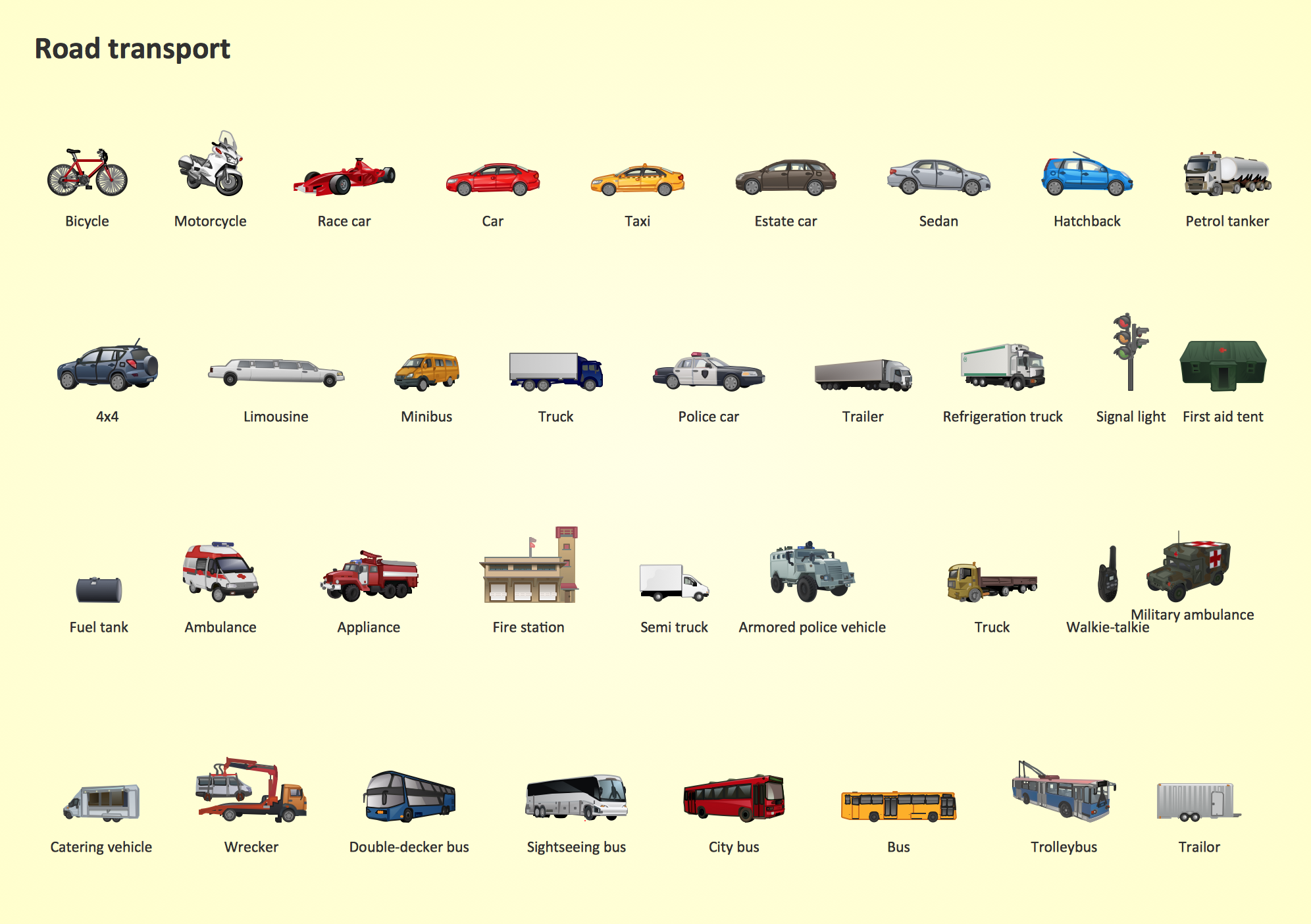
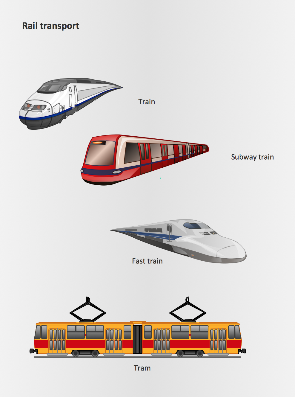
Samples, templates and libraries contain vector clip art for drawing the Road Transport Illustrations.Rail transport - Design elements
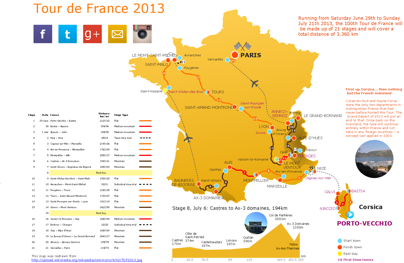
The vector stencils library Rail transport contains clipart of railway transport for ConceptDraw PRO diagramming and vector drawing software. Use it to draw illustrations of trains and transportation of passengers and goods by railroads.Spatial infographics Design Elements: Transport Map
Do you like infographics and data visualization? Creating infographics is super-easy with ConceptDraw.Basic Diagramming
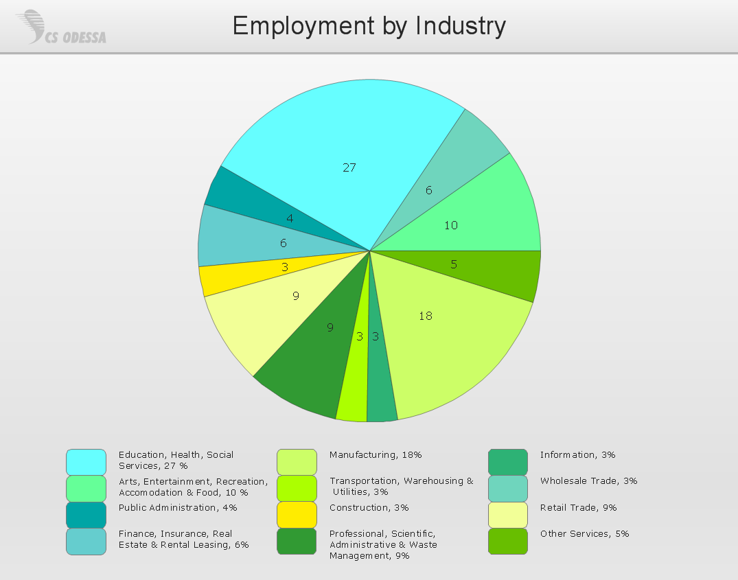
Perfect charts and graphics diagramming software with rich examples and template. ConceptDraw is ideal to draw Charts and Graphics.
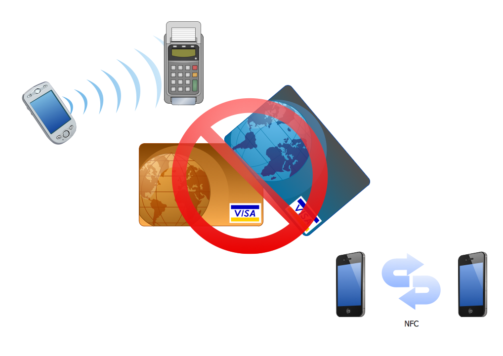
Near field communication (NFC). Computer and Network Examples
Near field communication (NFC) is a wireless communication technology that allows smartphones and other similar devices to establish the radio communication with each other on the short distance around 10 centimeters (4 inches). This example was created in ConceptDraw PRO using the Computer and Networks Area of ConceptDraw Solution Park and shows the Near field communication (NFC) network.
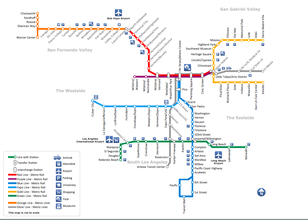
How to draw Metro Map style infographics? (Los Angeles)
Tool to draw Metro Map styled inforgraphics. Los Angeles Metro Rail and Liner sample. This is a one-click tool to add stations to the map. It lets you control the direction in which you create new stations, change lengths, and add text labels and icons. It contains Lines, Stations, and Landmarks objects.UML Class Diagram Example for Transport System
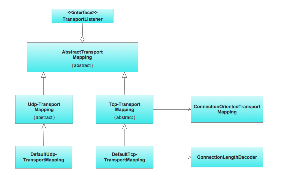
This sample was created in ConceptDraw PRO diagramming and vector drawing software using the UML Class Diagram library of the Rapid UML Solution from the Software Development area of ConceptDraw Solution Park. This sample shows the transport protocol mappings for SNMP (Simple Network Management Protocol), the classes of the transport system and relationships between them and is used in IP network.Building Drawing Design Element: Storage and Distribution
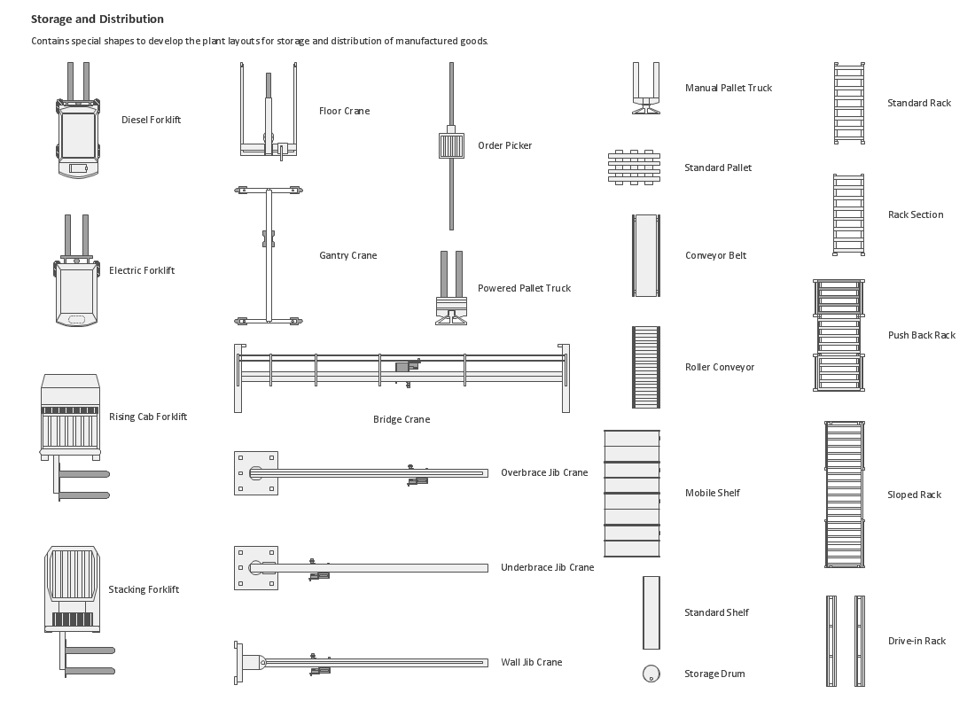
Find out why users prefer our storage layout plans.
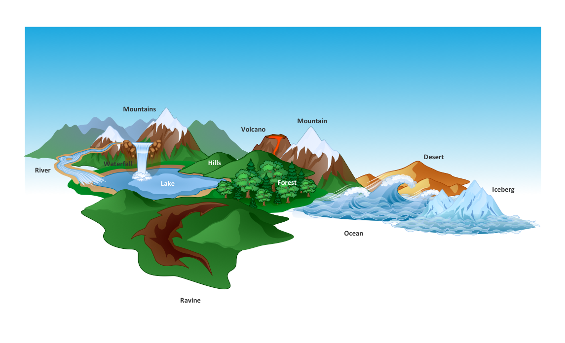
How to Draw a Natural Landscape
Nature solution expands ConceptDraw PRO software with samples, templates and libraries of vector clip art for drawing of Nature illustrations. Use Geography library of vector stencils to draw natural landscapes.Metro Path Map
You need a powerful software for drawing a Metro Path Map? Use the ConceptDraw PRO diagramming and vector drawing software extended with Metro Map Solution from the Maps Area. Make sure that it is what you need.How to Create a Powerful Infographic When You do not Have a Designer
Create a powerful infographic, become inspired by the people with ConceptDraw.How to draw Metro Map style infographics? Moscow, New York, Los Angeles, London
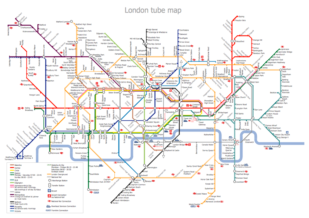
The solution handles designs of any complexity, and the comprehensive library covers all key aspects of a transportation system. To further enhance your map design, there is the option to embed links, that can display station images or other relevant, important information. We have also included a set of samples in the solution, that show the possible real-world application — complex tube systems including the London Tube and New York City Subway show the level of detail possible when using the Metro Map Solution.- Means Of Transport And Communication Easy Chart Drawing
- Transport And Communication Drawing
- How To Make Charts On Transport And Communication
- Transport And Communication Clipart
- Transport And Communication Diagram On Chart
- Analysis Of Transport And Communication With Graph And Diagram
- Transport And Communication Chart
- Communication Drawing Pictures Transport System
- Mindmap For Transport And Communication
- Draw A Diagram Of Various Means Of Transportation
- Transport And Communication Project Drawings
- Transport And Communication Diagram
- Images Of Transport And Communication
- Means Of Transport And Communications Draw Chart
- Sketch Of Transport And Communication
- Good Road Safe Communication Drawing Image
- Images Of Transport Charts To Draw
- Diagram Of Transportation And Communications
- Drawings Based On Good Road Safe Communication
