Geo Map - Africa - Egypt
Egypt, is a transcontinental country spanning the northeast corner of Africa and southwest corner of Asia, via a land bridge formed by the Sinai Peninsula. The vector stencils library Egypt contains contours for ConceptDraw PRO diagramming and vector drawing software. This library is contained in the Continent Maps solution from Maps area of ConceptDraw Solution Park.Geo Map - Asia - Israel
Israel, officially the State of Israel, is a country in Western Asia, on the south-eastern shore of the Mediterranean Sea. The vector stencils library Israel contains contours for ConceptDraw PRO diagramming and vector drawing software. This library is contained in the Continent Maps solution from Maps area of ConceptDraw Solution Park.Geo Map - Africa - Gambia
The Gambia, officially the Republic of the Gambia is a country in West Africa. The vector stencils library Gambia contains contours for ConceptDraw PRO diagramming and vector drawing software. This library is contained in the Continent Maps solution from Maps area of ConceptDraw Solution Park.Geo Map - Africa - South Sudan
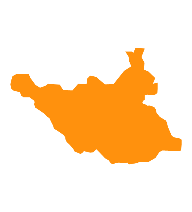
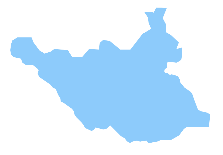
outh Sudan, officially the Republic of South Sudan, is a landlocked country in northeastern Africa. The vector stencils library South Sudan contains contours for ConceptDraw PRO diagramming and vector drawing software. This library is contained in the Continent Maps solution from Maps area of ConceptDraw Solution Park.Geo Map - Africa - Sudan
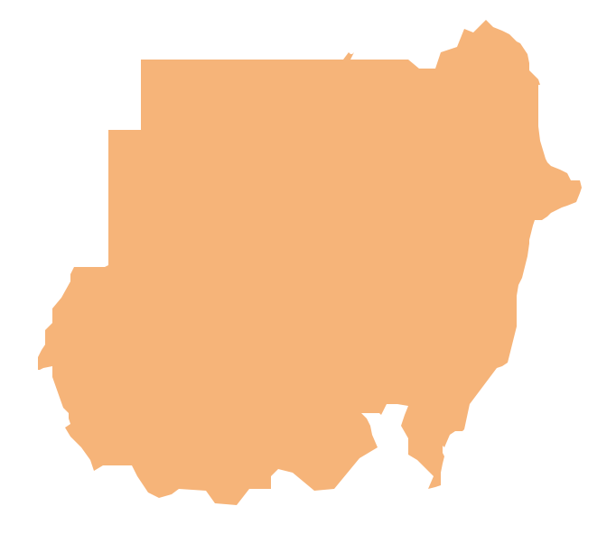
Sudan, officially the Republic of the Sudan is an Arab state in the Nile Valley of North Africa, bordered by Egypt to the north, the Red Sea, Eritrea and Ethiopia to the east, South Sudan to the south, the Central African Republic to the southwest, Chad to the west and Libya to the northwest. The vector stencils library Sudan contains contours for ConceptDraw PRO diagramming and vector drawing software. This library is contained in the Continent Maps solution from Maps area of ConceptDraw Solution Park.Geo Map - Africa - Ghana
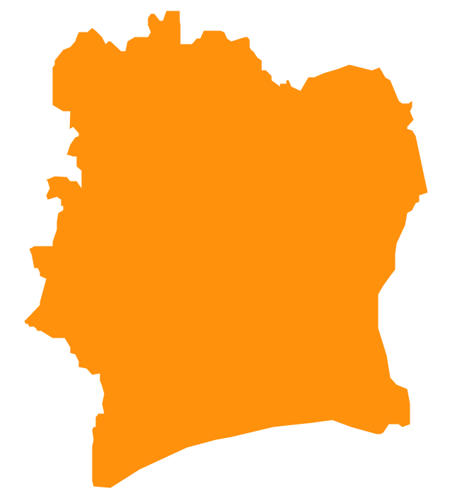
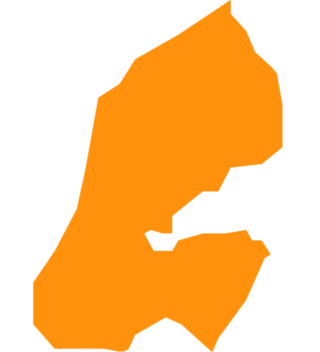
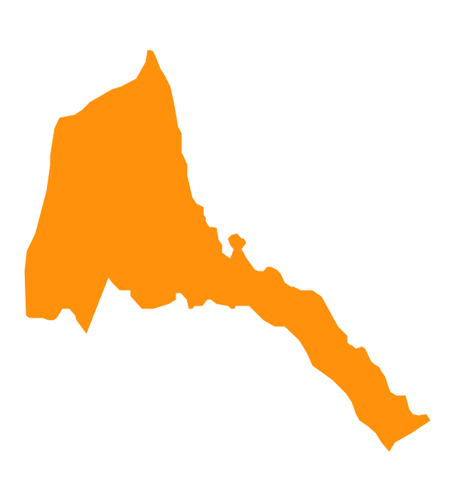
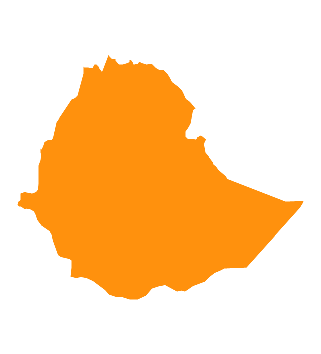
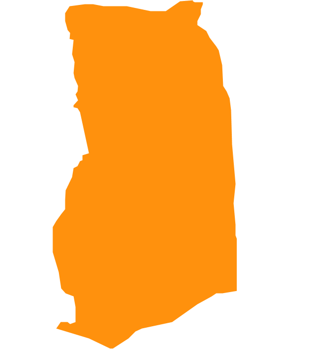
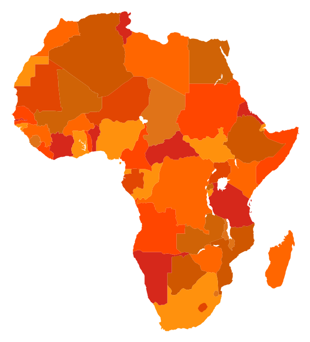
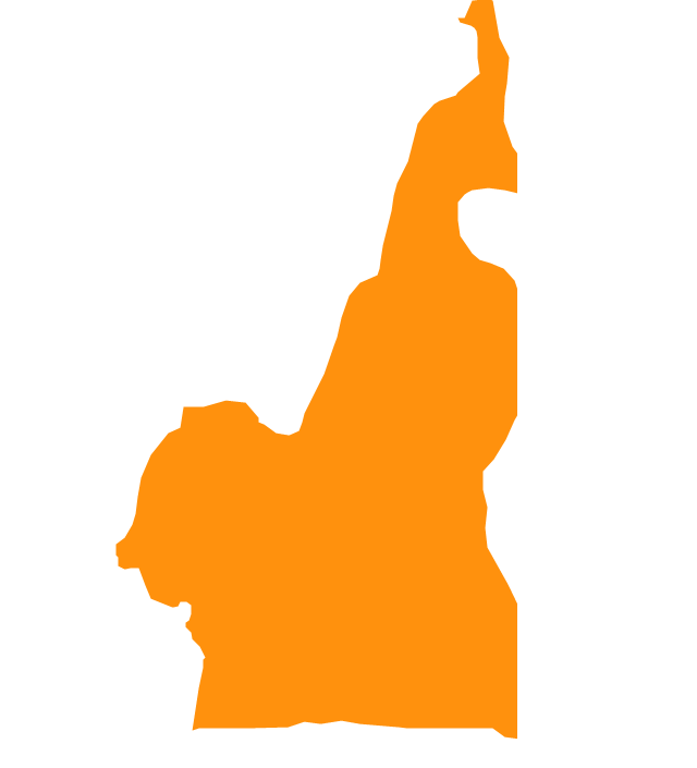
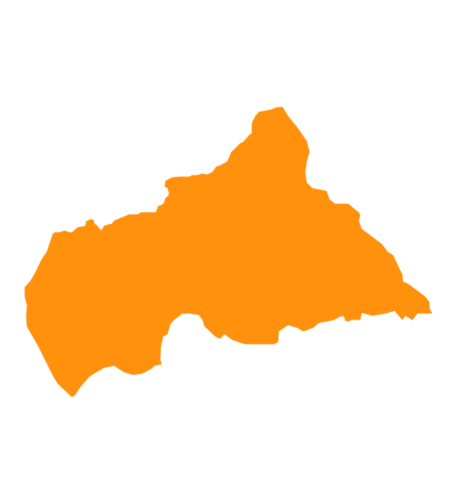
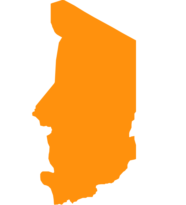
Ghana, officially called the Republic of Ghana, is a sovereign state and unitary presidential constitutional republic, located along the Gulf of Guinea and Atlantic Ocean, in West Africa. The vector stencils library Ghana contains contours for ConceptDraw PRO diagramming and vector drawing software. This library is contained in the Continent Maps solution from Maps area of ConceptDraw Solution Park.The vector stencils library "Africa" contains 51 country contours for drawing thematic maps of Africa.
Use it in your spatial infographics for visual representation of geospatial information, statistics and quantitative data in the ConceptDraw PRO diagramming and vector drawing software extended with the Spatial Infographics solution from the area "What is Infographics" of ConceptDraw Solution Park.
Use it in your spatial infographics for visual representation of geospatial information, statistics and quantitative data in the ConceptDraw PRO diagramming and vector drawing software extended with the Spatial Infographics solution from the area "What is Infographics" of ConceptDraw Solution Park.
The vector stencils library "Africa" contains 51 country contours for drawing thematic maps of Africa.
Use it in your spatial infographics for visual representation of geospatial information, statistics and quantitative data in the ConceptDraw PRO diagramming and vector drawing software extended with the Spatial Infographics solution from the area "What is Infographics" of ConceptDraw Solution Park.
Use it in your spatial infographics for visual representation of geospatial information, statistics and quantitative data in the ConceptDraw PRO diagramming and vector drawing software extended with the Spatial Infographics solution from the area "What is Infographics" of ConceptDraw Solution Park.
Geo Map - Asia - Cyprus
Cyprus, officially the Republic of Cyprus, is an island country in the Eastern Mediterranean Sea. The vector stencils library Cyprus contains contours for ConceptDraw PRO diagramming and vector drawing software. This library is contained in the Continent Maps solution from Maps area of ConceptDraw Solution Park.Geo Map — Europe — Sweden
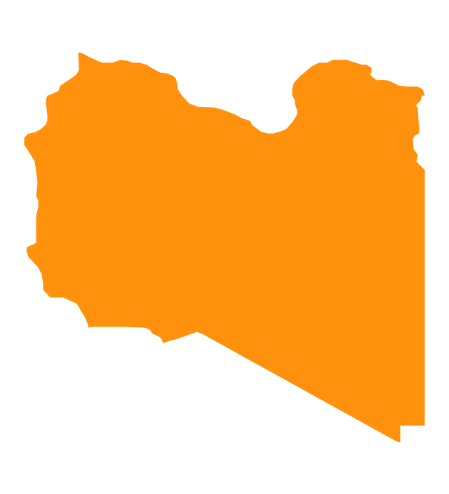
The vector stencils library Sweden contains contours for ConceptDraw PRO diagramming and vector drawing software. This library is contained in the Continent Maps solution from Maps area of ConceptDraw Solution Park.Geo Map - Africa - Libya
Libya, officially the State of Libya, is a country in the Maghreb region of North Africa bordered by the Mediterranean Sea to the north, Egypt to the east, Sudan to the southeast, Chad and Niger to the south, and Algeria and Tunisia to the west. The vector stencils library Libya contains contours for ConceptDraw PRO diagramming and vector drawing software. This library is contained in the Continent Maps solution from Maps area of ConceptDraw Solution Park.Infographic Generator
ConceptDraw PRO extended with Typography Infographics Solution from the “What are Infographics” Area is the best Infographic Generator. Make sure in it right now! Typography Infographics Solution offers you the best numerous collection of predesigned infographics examples and 9 libraries with large quantity of ready-to-use vector stencils that will help you design your own Typography Infographics of any complexity in minutes.."The Middle East (also called Mid East in US usage) is a region that roughly encompasses a majority of Western Asia (excluding the Caucasus) and Egypt. The term is used as a synonym for Near East, in opposition to Far East. The corresponding adjective is Middle Eastern and the derived noun is Middle Easterner. Arabs, Persians, and Turks constitute the largest ethnic groups in the region by population, while Kurds, Azeris, Copts, Jews, Assyrians, Maronites, Circassians, Somalis, Armenians, Druze and other denominations form a significant minority. ... The following countries are included within the Middle East... : Bahrain, Cyprus, Egypt, Iran, Iraq, Israel, Jordan, Kuwait, Lebanon, Northern Cyprus, Oman, Palestine, Qatar, Saudi Arabia, Syria, Turkey, United Arab Emirates, Yemen.
" [Middle East. Wikipedia]
This political map sample was redesigned from the Wikimedia Commons file: Middle east map.png. [commons.wikimedia.org/ wiki/ File:Middle_ east_ map.png]
The example "Middle East - Political map" was created using the ConceptDraw PRO diagramming and vector drawing software extended with the Continent Maps solution from the Maps area of ConceptDraw Solution Park.
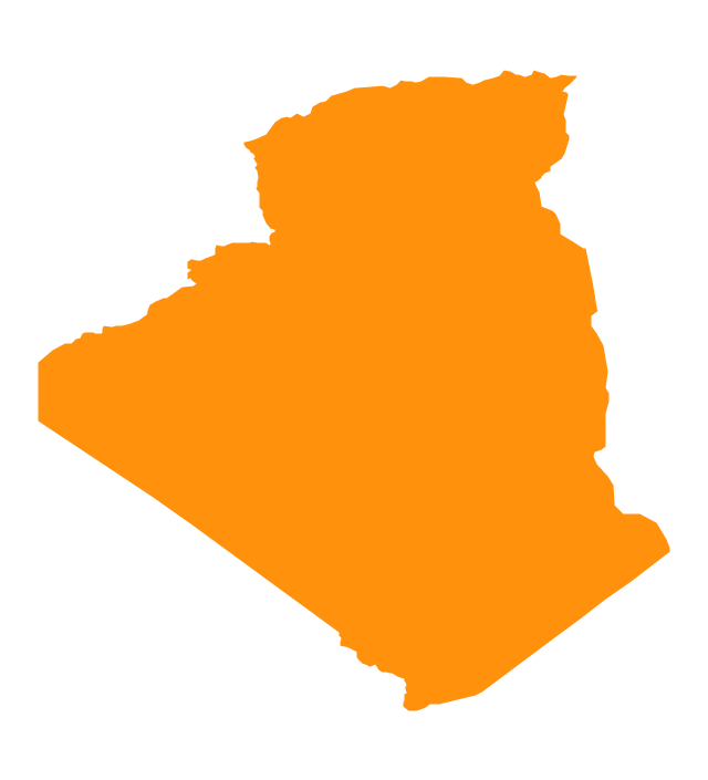
Geo Map - Africa - Algeria
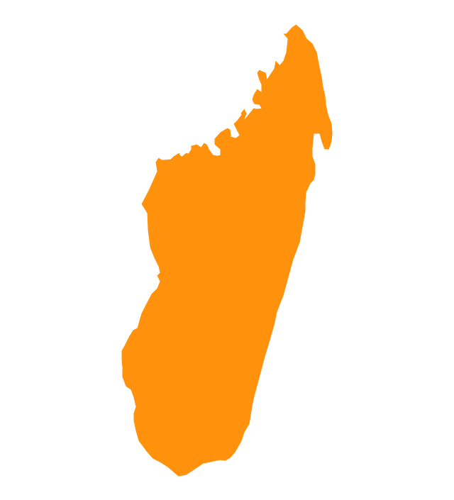
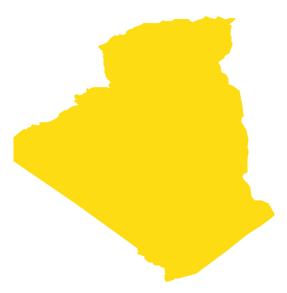
Algeria, officially The People's Democratic Republic of Algeria, is a country in the Maghreb region of North Africa on the Mediterranean coast. The vector stencils library Algeria contains contours for ConceptDraw PRO diagramming and vector drawing software. This library is contained in the Continent Maps solution from Maps area of ConceptDraw Solution Park.Geo Map - Africa - Madagascar
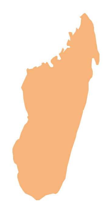
Madagascar, officially the Republic of Madagascar, is an island country in the Indian Ocean, off the coast of Southeast Africa. The vector stencils library Madagascar contains contours for ConceptDraw PRO diagramming and vector drawing software. This library is contained in the Continent Maps solution from Maps area of ConceptDraw Solution Park.- Geo Map - Africa - Congo DRC | Africa - Vector stencils library | Geo ...
- Geo Map - Africa - Angola | Africa - Vector stencils library | Geo Map ...
- Geo Map - Africa - Egypt | Geo Map - South America Continent | Geo ...
- Geo Map - Africa - Egypt | Geo Map - USA - Oklahoma | Geo Map ...
- Geo Map - Africa - Egypt
- Geo Map - Africa - Gambia | Geo Map - Africa - Egypt | Geo Map ...
- Geo Map - Africa - Sudan | Geo Map - Africa - Egypt | Geo Map ...
- Africa - Vector stencils library | Nigeria Map Outline Transparent Vector
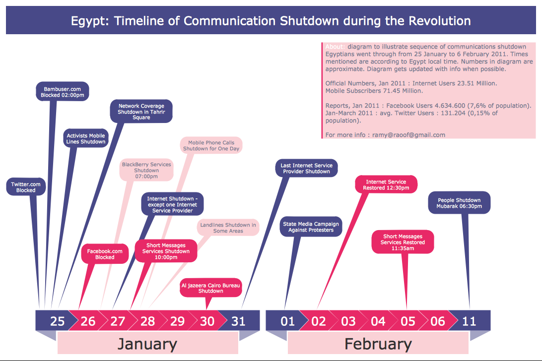
- Geo Map - Africa - Egypt | Egypt timeline of communication ...
- Middle East Vector Map Png
- Geo Map - Africa - Ghana | Geo Map - Africa - Egypt | Geo Map ...
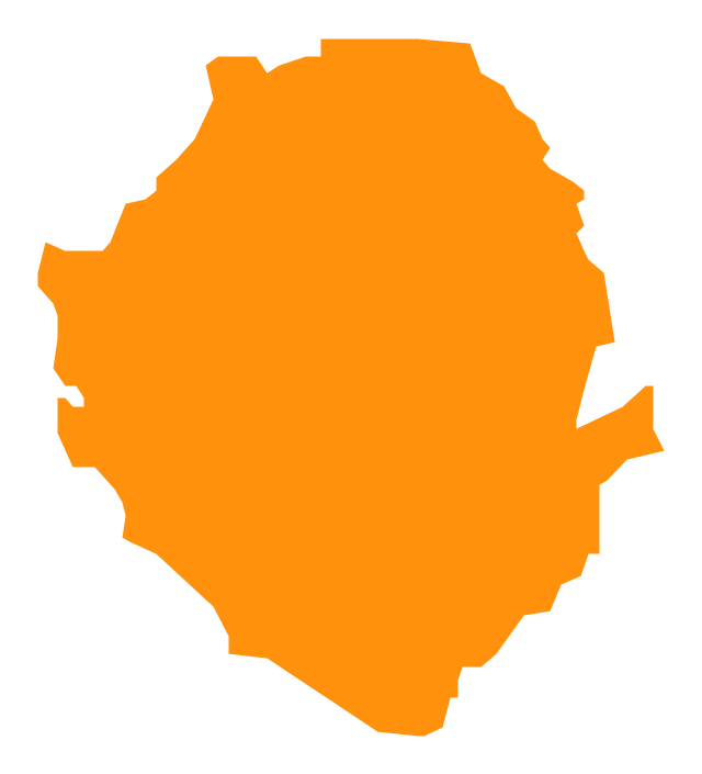
- Map Of Sierra Leone Vector
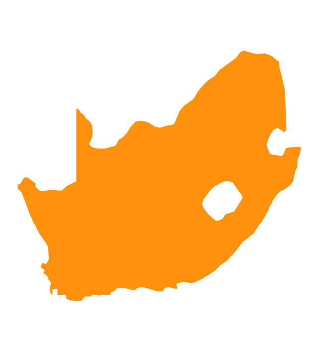
- Geo Map - Africa - South Africa | Africa - Vector stencils library ...
- Middle East - Political map | Geo Map - Asia | MENA's (Middle East ...
- Geo Map - Africa - Nigeria | Africa - Vector stencils library | Africa ...
- Geo Map - Africa
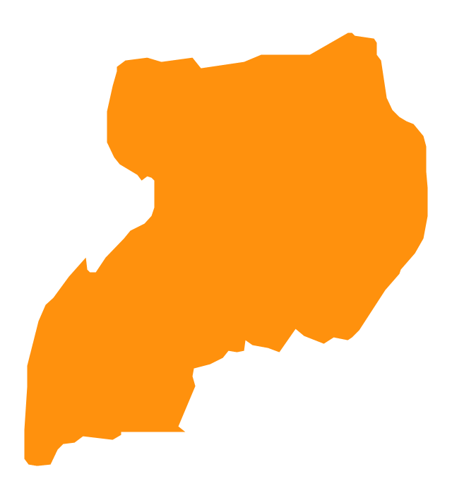
- Geo Map - Africa - Uganda | Africa - Vector stencils library | Geo Map ...
- Middle East Map Vector Free Download
- Sudan Vector Map








-africa---vector-stencils-library.png--diagram-flowchart-example.png)
