Geo Map - Africa
Africa has 54 fully recognized sovereign states, 9 territories and two de facto independent states with limited or no recognition. Vector design elements library Africa contains country map contours, geographical maps, cartograms and thematic maps for ConceptDraw DIAGRAM diagramming and vector drawing software. To help visualize the business and thematic information connected with geographic areas, locations or customs. All ConceptDraw DIAGRAM documents are vector graphic files and are available for reviewing, modifying, and converting to a variety of formats: image, HTML, PDF file, MS PowerPoint Presentation, Adobe Flash, MS Visio (.VDX,.VSDX).Local area network (LAN). Computer and Network Examples
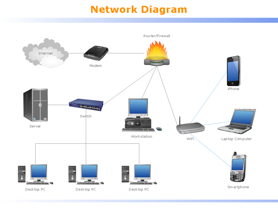
Local Area Network (LAN) is a network which consists of computers and peripheral devices connected each other and to the local domain server, and covers a little territory or small number of buildings, such as home, school, laboratory, office, etc. LAN serves for few hundreds of users. It includes many cables and wires, and demands to design previously a Network diagram. All local area network devices can use the shared printers and disk storage. ConceptDraw DIAGRAM is a perfect network diagramming software with examples of LAN Diagrams, templates and predesigned vector objects. ConceptDraw DIAGRAM is the ideal choice for network engineers and network designers who need to draw fast and easy Local Area Network Diagrams, for IT specialists, developers and other IT professionals which need to visualize the communication schemes of LAN and visually document the LAN's physical structure and arrangement in houses, offices and other buildings. Ready-to-use vector objects from Computer Network Diagrams solution will help you design LAN diagrams in minutes.
Geo Map - Africa - Uganda
Uganda, officially the Republic of Uganda, is a landlocked country in East Africa. The vector stencils library Uganda contains contours for ConceptDraw DIAGRAM diagramming and vector drawing software. This library is contained in the Continent Maps solution from Maps area of ConceptDraw Solution Park.Geo Map - Africa - Kenya
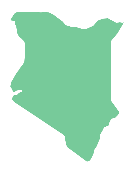
Kenya, officially the Republic of Kenya, is a sovereign state in the African Great Lakes region of East Africa. The vector stencils library Kenya contains contours for ConceptDraw DIAGRAM diagramming and vector drawing software. This library is contained in the Continent Maps solution from Maps area of ConceptDraw Solution Park.- Geo Map - Africa - Ethiopia
- Geo Mapping Software Examples - World Map Outline | Maps Area ...
- Geo Mapping Software Examples - World Map Outline | Geo Map ...
- Outline Stencil Of South Australia
- World Map Continents Vector
- How To Draw Ethiopia Map
- Africa Map Vector
- Geo Mapping Software Examples - World Map Outline | Geo Map ...
- Geo Mapping Software Examples - World Map Outline | Geo Map ...
- Geo Map - Europe | Geo Map - Africa - Uganda | Geo Map - Asia ...
- Continent Maps | Africa - Vector stencils library | Geo Map Software ...
- Geo Map - Africa - Tanzania
- Continent Maps | World Continents Map | Geo Map - South America ...
- Geo Map - Africa - Congo DRC | Africa - Vector stencils library | Geo ...
- Geo Map - Africa - Congo DRC
- Geo Map Software | Geo Map - World | Types of Map - Overview ...
- Map Contours Library Africa
- Geo Map - World | Geo Map Software | Types of Map - Overview ...
- Continent Maps | Geo Map - South America Continent | How to Draw ...
- Geo Map - Africa - Nigeria | Africa - Vector stencils library | Geo Map ...


