Map Infographic Creator
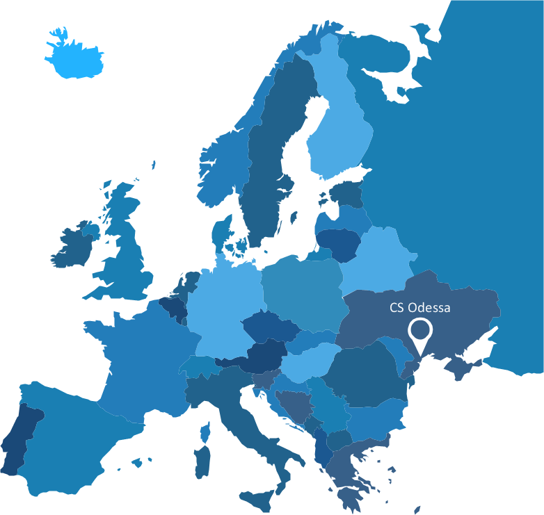
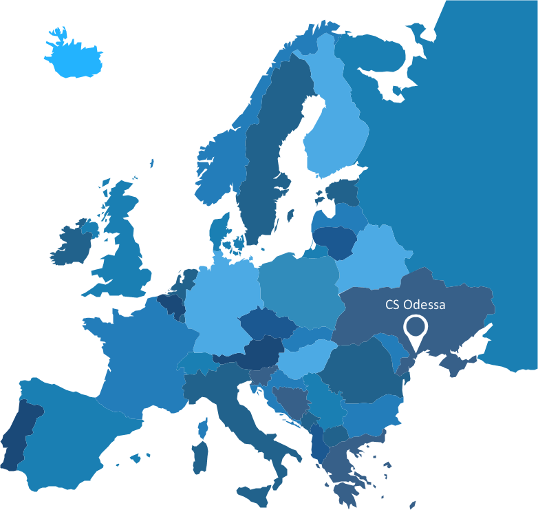
Follow samples and map templates to create nfographic maps. It's super-easy!Spatial infographics Design Elements: Continental Map
ConceptDraw DIAGRAM is a software for making infographics illustrations. You can work with various components to build really impressive and easy-to-understand infographics design.World Continents Map
ConceptDraw DIAGRAM diagramming and vector drawing software enhanced with Continent Maps Solution from the Maps Area is the best for drawing geographic, topography, political, and many other kinds of maps for any of seven earth continents and also world continents map of any detailing.Visualization Spatial Data Using Thematic Maps Combined with Infographics
Now anyone can build an infographics from their data using ConceptDraw. Nice and simple, but the features it have are power-packed!Continents Map
Designing of Continents Map is a quite complex and labour-intensive process. But now we have a way to make it easier - ConceptDraw DIAGRAM diagramming and vector drawing software extended with useful drawing tools of Continent Maps Solution from the Maps Area.Geo Map - Europe - Austria
The vector stencils library Austria contains contours for ConceptDraw DIAGRAM diagramming and vector drawing software. This library is contained in the Continent Maps solution from Maps area of ConceptDraw Solution Park.Sample Pictorial Chart. Sample Infographics
Sample Pictorial Chart - Pictorial Infographics solution provides easy-to-use design infographics drawing tools, large collection of different sample infographics and infograms, sample pictorial chart and templates to be filled in, and 10 libraries with great quantity of predesigned vector pictograms. Use Pictorial Infographics solution to draw your own design pictorial infographics documents quick and easy.Geo Map - Europe - Czech Republic
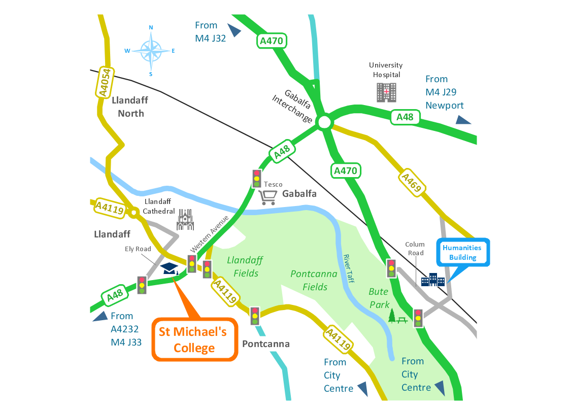
The vector stencils library Czech Republic contains contours for ConceptDraw DIAGRAM diagramming and vector drawing software. This library is contained in the Continent Maps solution from Maps area of ConceptDraw Solution Park.Brilliant Examples of Infographics Map, Transport, Road
ConceptDraw DIAGRAM contains spatial infographics samples, map templates to be filled in, and libraries of vector stencils for main design elements of spatial infographics.Geo Map - Europe - United Kingdom
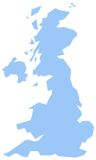
The vector stencils library United Kingdom contains contours for ConceptDraw DIAGRAM diagramming and vector drawing software. This library is contained in the Continent Maps solution from Maps area of ConceptDraw Solution Park.- How to Draw a Line Graph | Superb Examples of Infographic Maps ...
- Germany Map | Pie Chart Eu Political Parties
- Continent Maps | Pie Charts | Spatial Dashboard | Erd Europe
- How To Draw A Simpl Europe Map
- Europe Map With Numbers
- Continent Maps | Maps | Spatial Infographics | Fish Bone Diagram Of ...
- Cafe floor plan | Continent Maps | Spatial Dashboard | European ...
- Europe map with capitals - Template | Geo Map - Europe - France ...
- Germany Map | Geo Map - Europe - Germany | How to Create a Map ...
