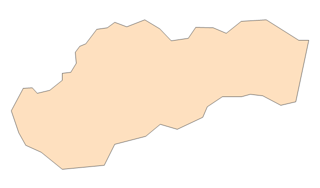
Geo Map - Europe - Slovakia
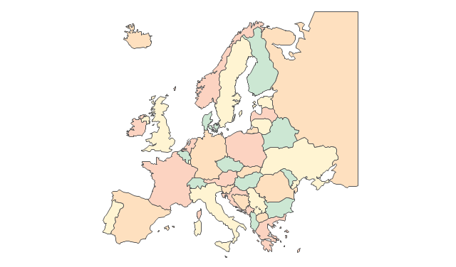
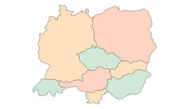
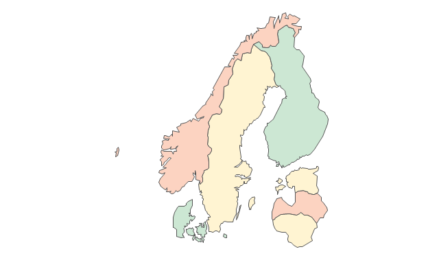
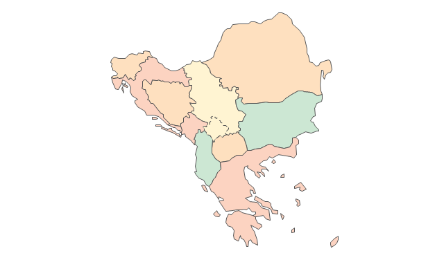
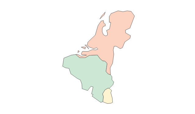
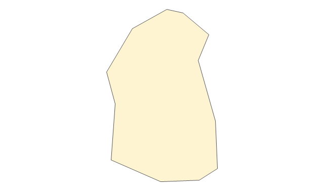
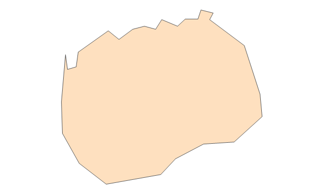
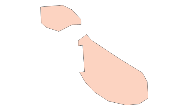
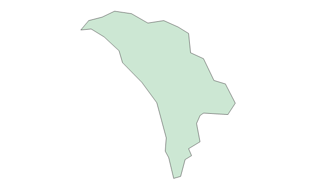
The vector stencils library Slovakia contains contours for ConceptDraw PRO diagramming and vector drawing software. This library is contained in the Continent Maps solution from Maps area of ConceptDraw Solution Park.The vector stencils library "Europe" contains 45 state map contours for drawing thematic maps of Europe. Use it in your spatial infographics for visual representation of geospatial information, statistics and quantitative data.
"There are 50 internationally recognised sovereign states with territory located within the common definition of Europe and/ or membership in international European organisations, of which 44 have their capital city within Europe. All except the Vatican City are members of the United Nations (UN), and all except Belarus, Kazakhstan and Vatican City are members of the Council of Europe. Since 2013, 28 of these countries are also member states of the EU, which means they are highly integrated with each other and share their sovereignty with EU institutions." [List of sovereign states and dependent territories in Europe. Wikipedia]
The state map contours example "Europe - Vector stencils library" was created using the ConceptDraw PRO diagramming and vector drawing software extended with the Continent Maps solution from the Maps area of ConceptDraw Solution Park.
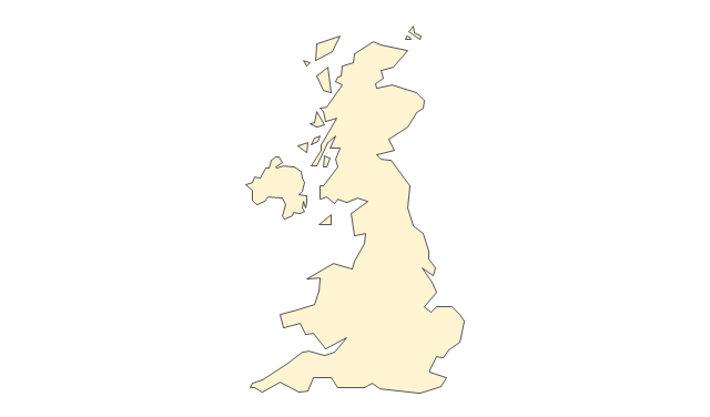
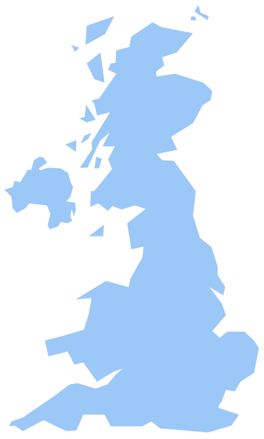
Geo Map - Europe - United Kingdom
The vector stencils library United Kingdom contains contours for ConceptDraw PRO diagramming and vector drawing software. This library is contained in the Continent Maps solution from Maps area of ConceptDraw Solution Park.Use the map contours library "Europe" to design thematic maps of European countries using the ConceptDraw PRO diagramming and vector drawing software.
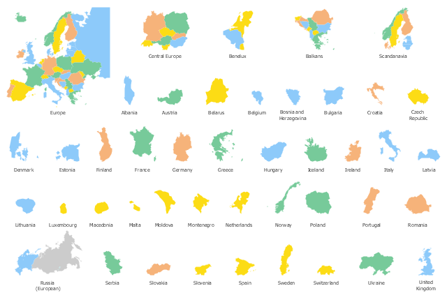
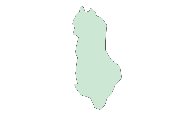
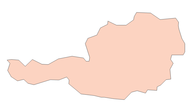
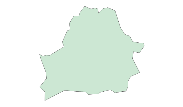
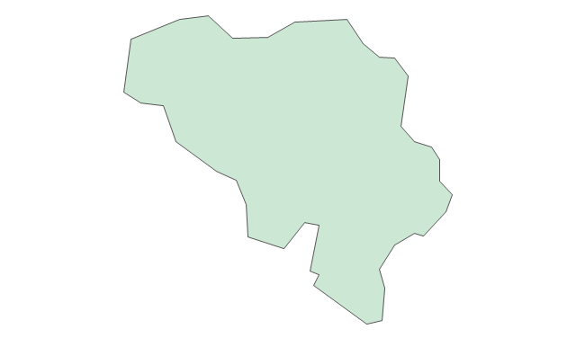
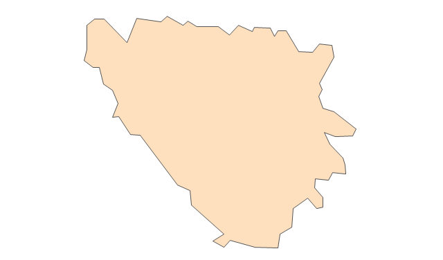
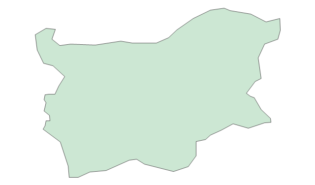
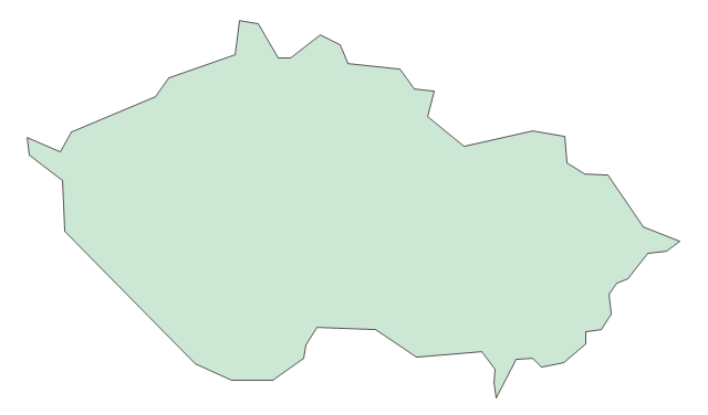
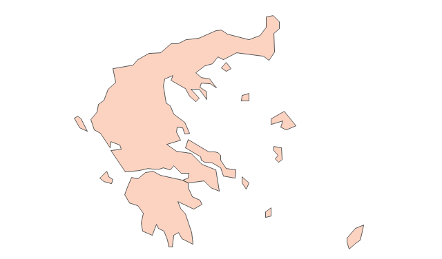
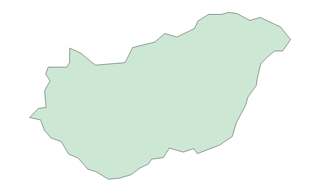
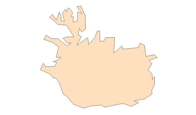
The vector stencils library "Europe" contains 43 European state map contours.
The map contours example "Design elements - Europe" is included in the Continent Maps solution from the Maps area of ConceptDraw Solution Park.
The vector stencils library "Europe" contains 43 European state map contours.
The map contours example "Design elements - Europe" is included in the Continent Maps solution from the Maps area of ConceptDraw Solution Park.
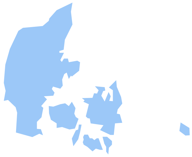
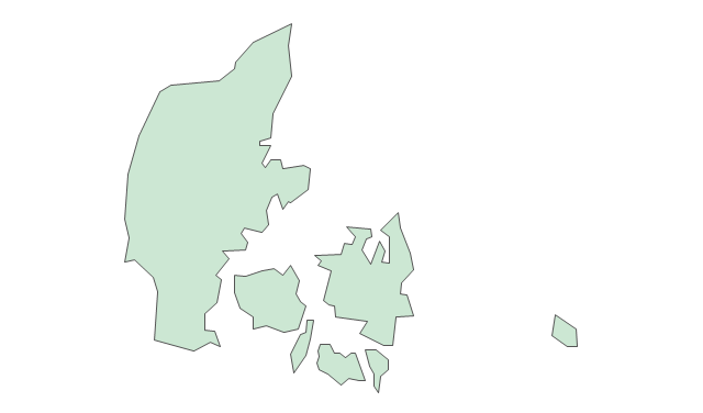
Geo Map - Europe - Denmark
The vector stencils library Denmark contains contours for ConceptDraw PRO diagramming and vector drawing software. This library is contained in the Continent Maps solution from Maps area of ConceptDraw Solution Park.
 Continent Maps
Continent Maps solution extends ConceptDraw PRO software with templates, samples and libraries of vector stencils for drawing the thematic maps of continents, state maps of USA and Australia.
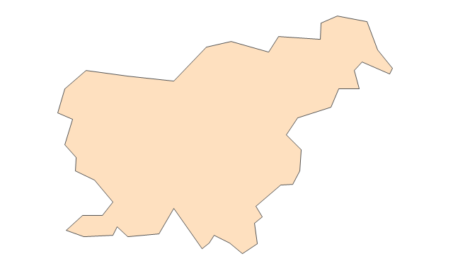
Geo Map - Europe - Slovenia
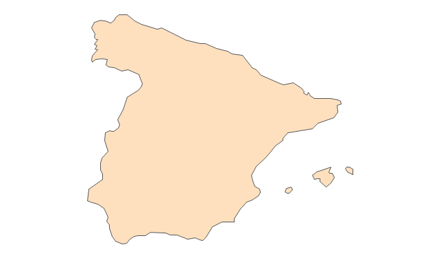
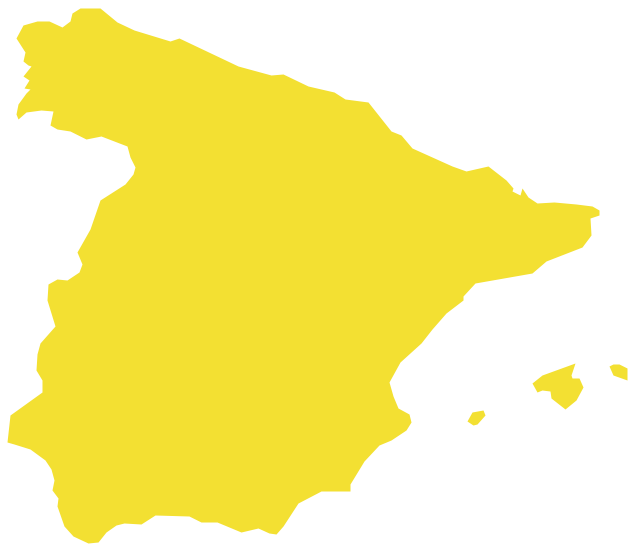
The vector stencils library Slovenia contains contours for ConceptDraw PRO diagramming and vector drawing software. This library is contained in the Continent Maps solution from Maps area of ConceptDraw Solution Park.Geo Map - Europe - Spain
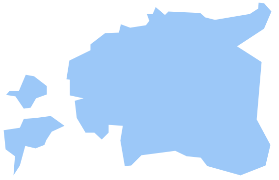
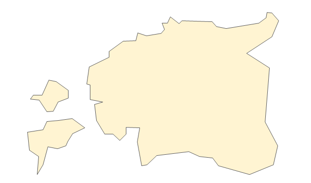
The vector stencils library Spain contains contours for ConceptDraw PRO diagramming and vector drawing software. This library is contained in the Continent Maps solution from Maps area of ConceptDraw Solution Park.Geo Map - Europe - Estonia
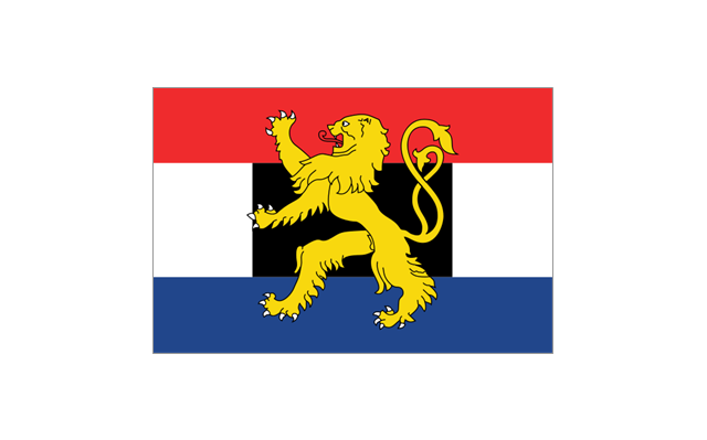
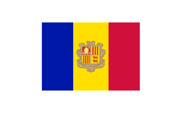
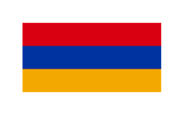
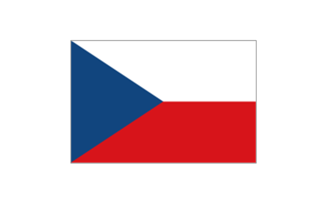
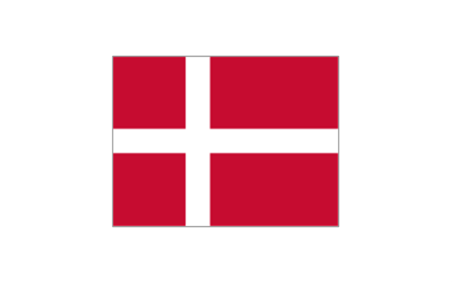
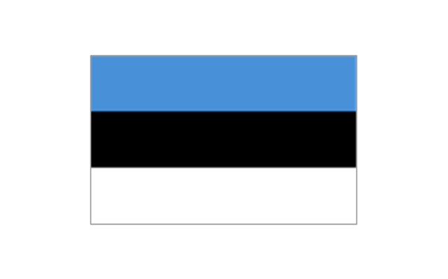
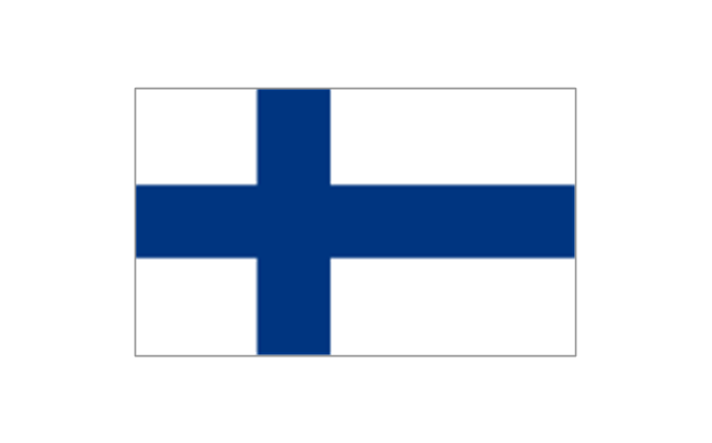
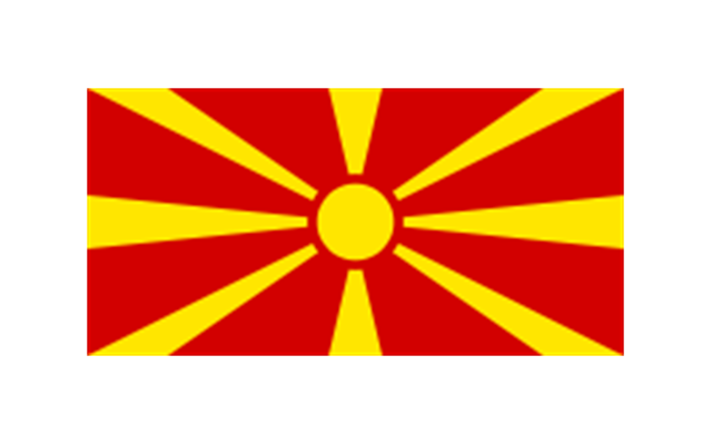
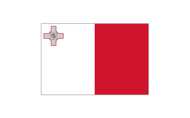
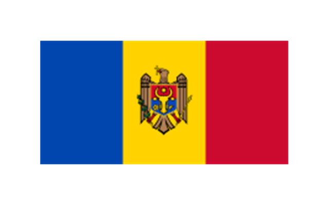
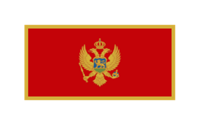
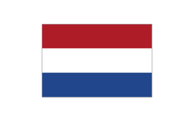
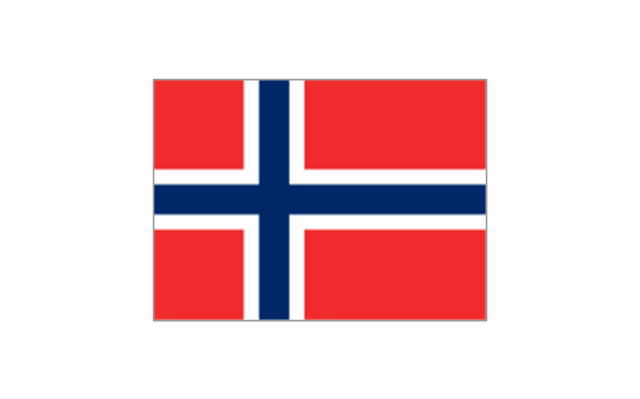
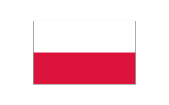
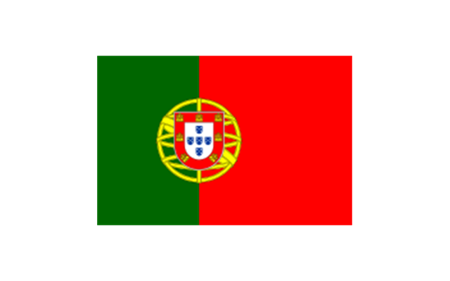
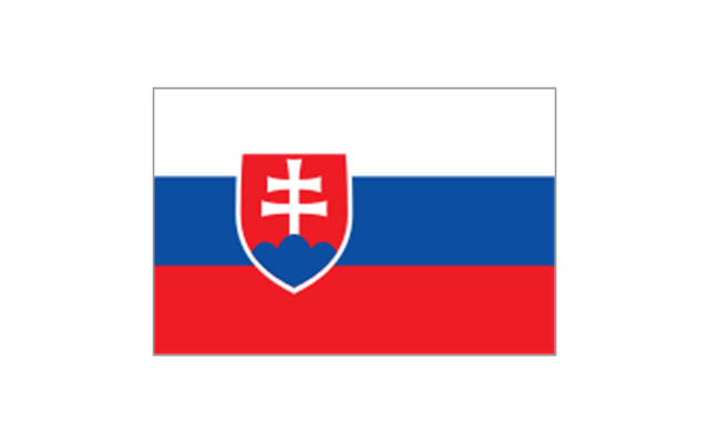
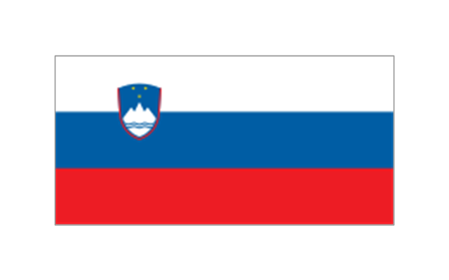
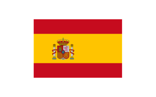
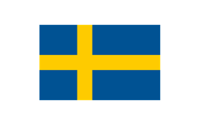
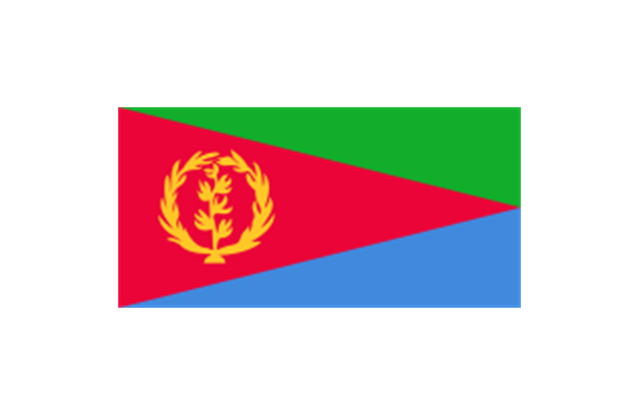
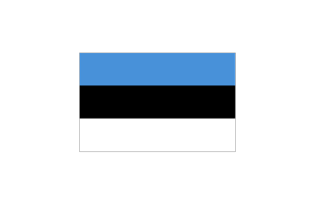
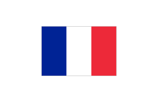
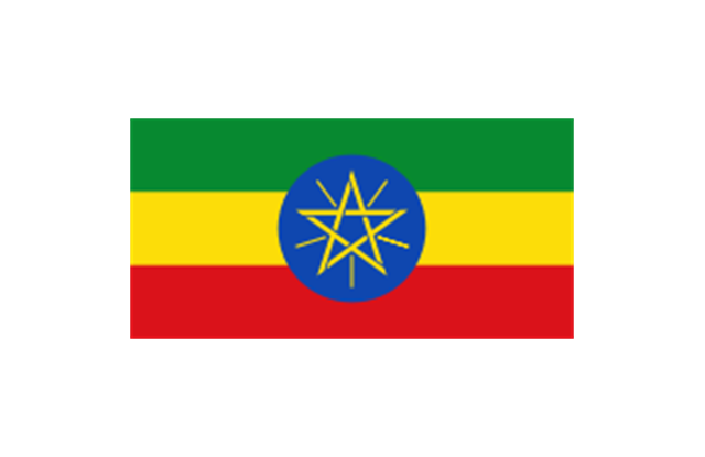
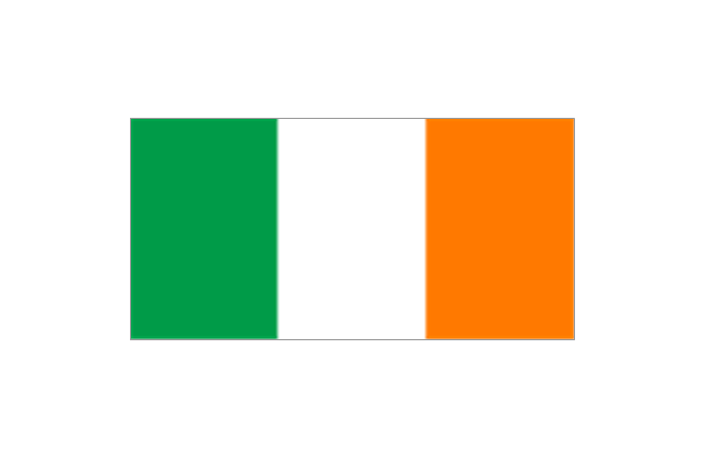
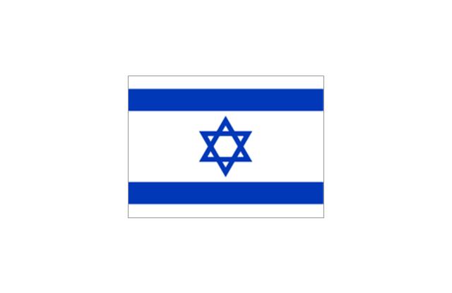
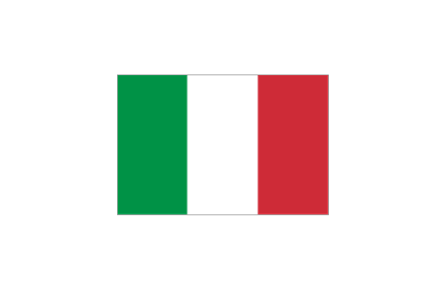
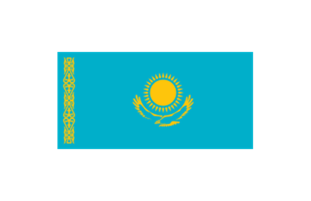
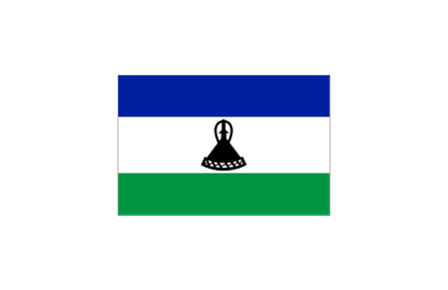
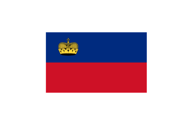
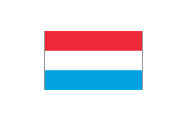
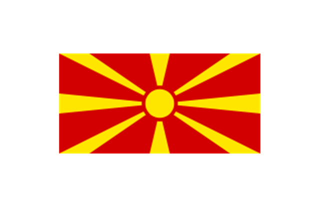
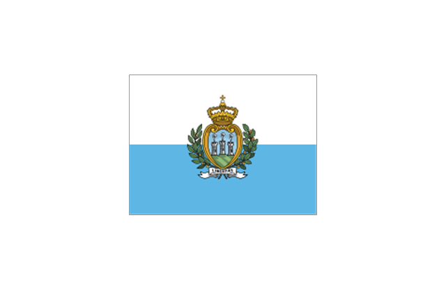
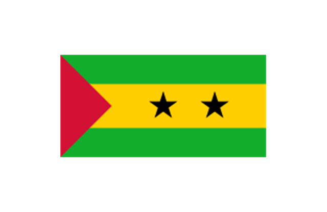
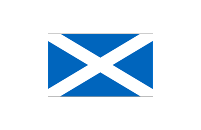
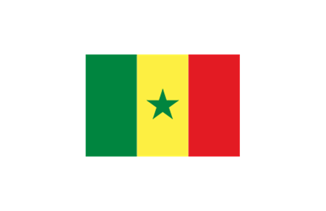
The vector stencils library Estonia contains contours for ConceptDraw PRO diagramming and vector drawing software. This library is contained in the Continent Maps solution from Maps area of ConceptDraw Solution Park.The stencils library "Europe flags" contains 51 clipart images of Europe state flags: supranational and international flags, flags of European countries.
The clip art example "Europe flags - Stencils library" was created using the ConceptDraw PRO diagramming and vector drawing software extended with the Continent Maps solution from the Maps area of ConceptDraw Solution Park.
www.conceptdraw.com/ solution-park/ maps-continent
The clip art example "Europe flags - Stencils library" was created using the ConceptDraw PRO diagramming and vector drawing software extended with the Continent Maps solution from the Maps area of ConceptDraw Solution Park.
www.conceptdraw.com/ solution-park/ maps-continent
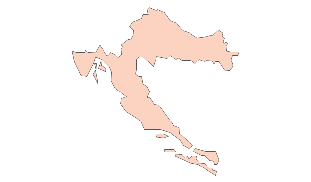
Geo Map - Europe - Croatia
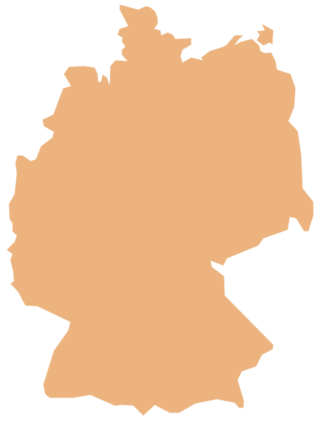
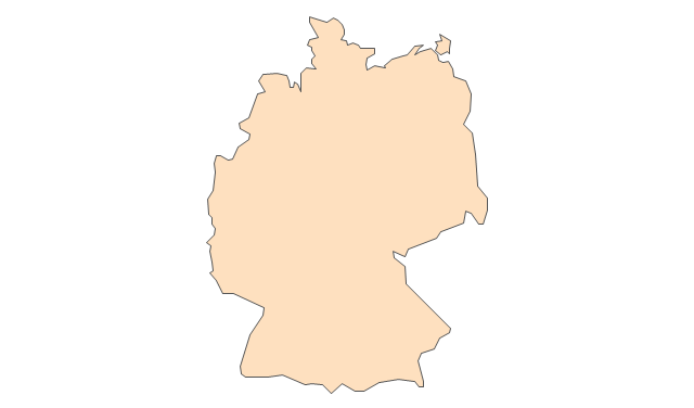
The vector stencils library Croatia contains contours for ConceptDraw PRO diagramming and vector drawing software. This library is contained in the Continent Maps solution from Maps area of ConceptDraw Solution Park.Geo Map - Europe - Germany
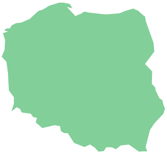
The vector stencils library Germany contains contours for ConceptDraw PRO diagramming and vector drawing software. This library is contained in the Continent Maps solution from Maps area of ConceptDraw Solution Park.Geo Map - Europe - Poland
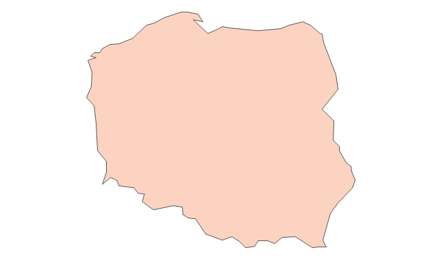
The vector stencils library Poland contains contours for ConceptDraw PRO diagramming and vector drawing software. This library is contained in the Continent Maps solution from Maps area of ConceptDraw Solution Park.Geo Map - Europe - Netherlands
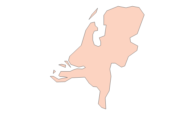
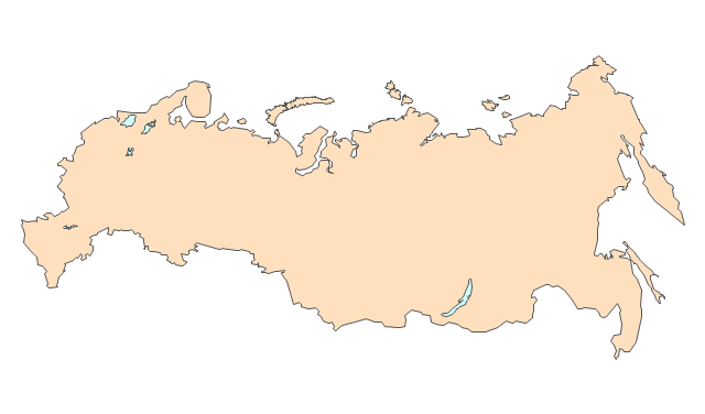
The vector stencils library Netherlands contains contours for ConceptDraw PRO diagramming and vector drawing software. This library is contained in the Continent Maps solution from Maps area of ConceptDraw Solution Park.Geo Map - Europe - Russia
The vector stencils library Russia contains contours for ConceptDraw PRO diagramming and vector drawing software. This library is contained in the Continent Maps solution from Maps area of ConceptDraw Solution Park.Geo Map - USA - Montana
Montana is a state in the Western United States.The vector stencils library Montana contains contours for ConceptDraw PRO diagramming and vector drawing software. This library is contained in the Continent Maps solution from Maps area of ConceptDraw Solution Park.
Geo Map - USA - Mississippi
Mississippi is a U.S. state located in the Southern United States.The vector stencils library Mississippi contains contours for ConceptDraw PRO diagramming and vector drawing software. This library is contained in the Continent Maps solution from Maps area of ConceptDraw Solution Park.
Geo Map - USA - Nevada
Nevada is a state in the western, mountain west, and southwestern regions of the United States.The vector stencils library Nevada contains contours for ConceptDraw PRO diagramming and vector drawing software. This library is contained in the Continent Maps solution from Maps area of ConceptDraw Solution Park.
Geo Map - USA - Nebraska
Nebraska is a state on the Great Plains of the Midwestern United States.The vector stencils library Nebraska contains contours for ConceptDraw PRO diagramming and vector drawing software. This library is contained in the Continent Maps solution from Maps area of ConceptDraw Solution Park.
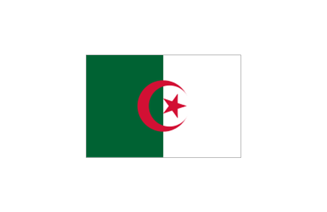
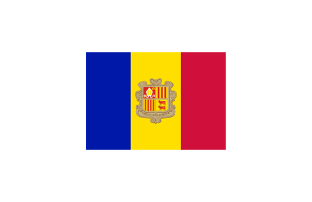
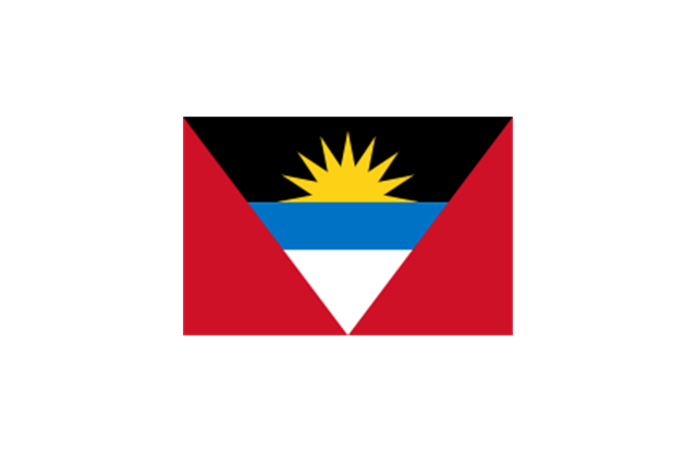
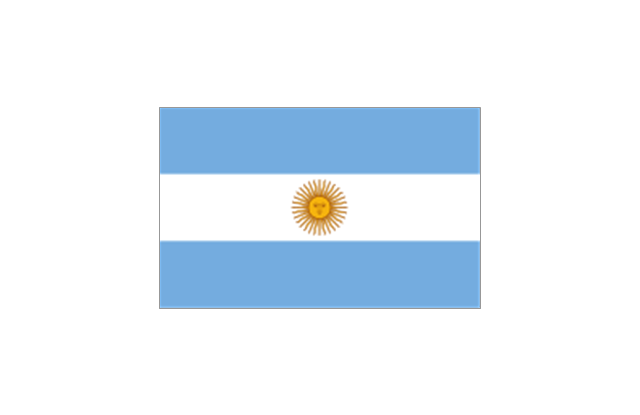
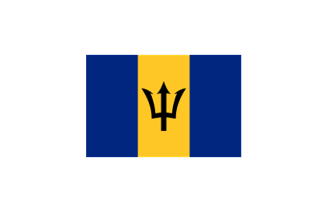
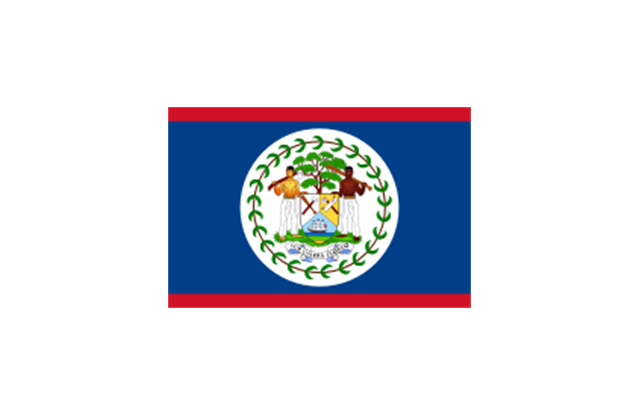
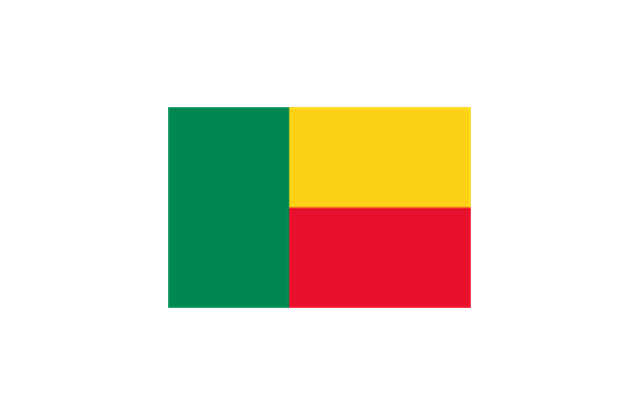
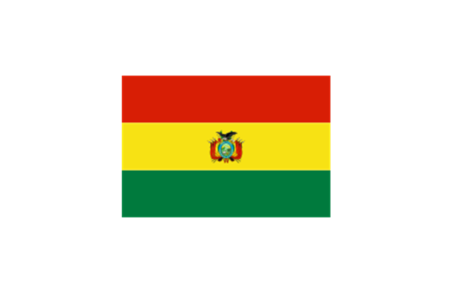
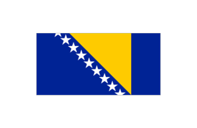
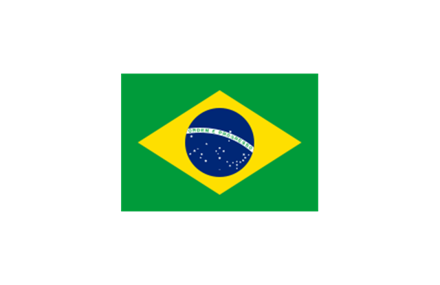
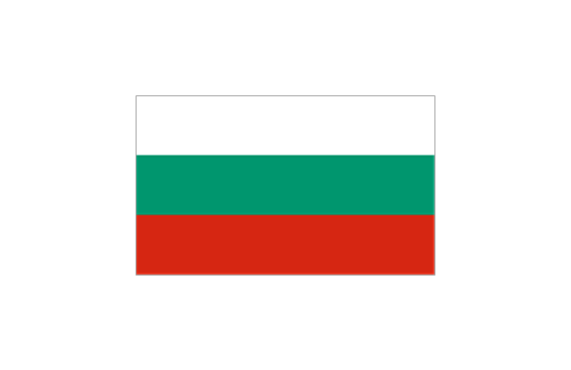
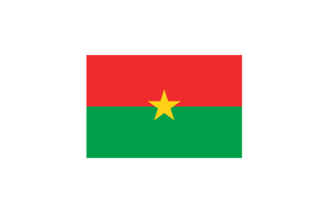
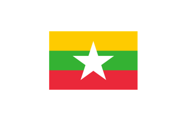
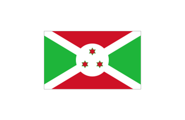
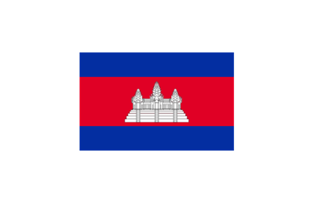
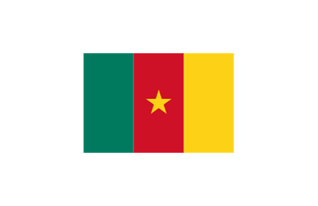
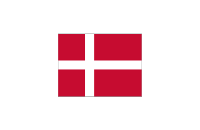
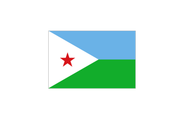
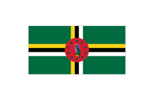
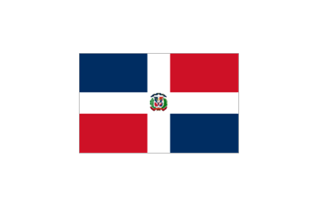
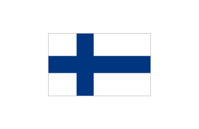
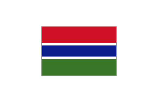
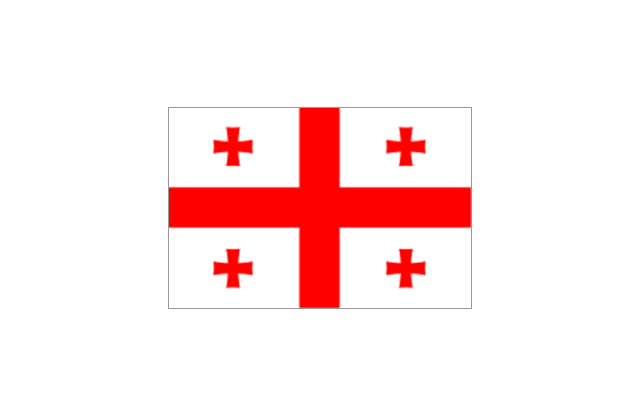
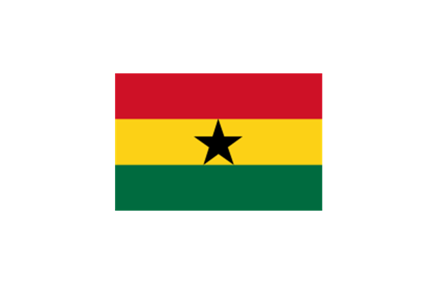
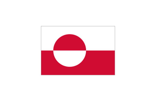
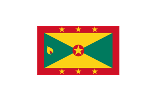
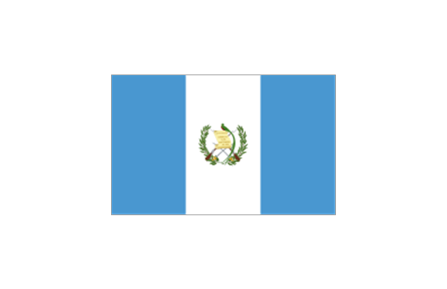
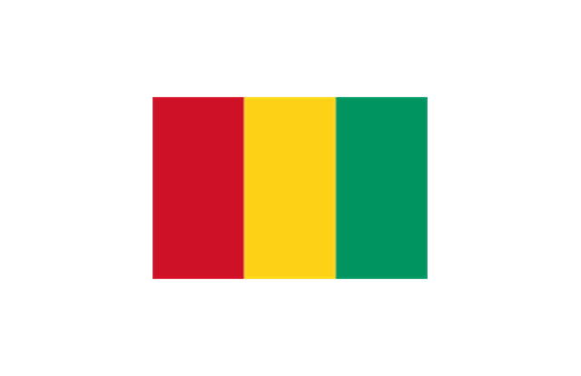
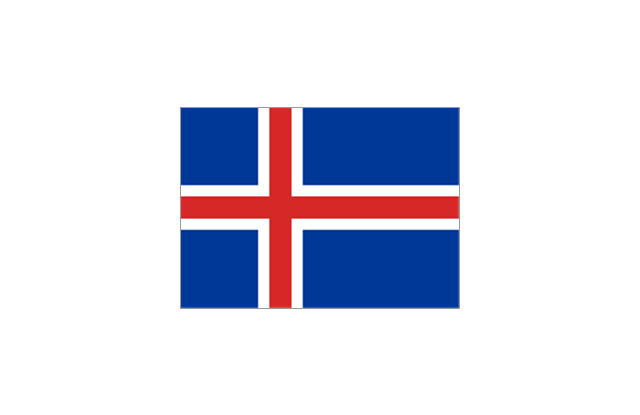
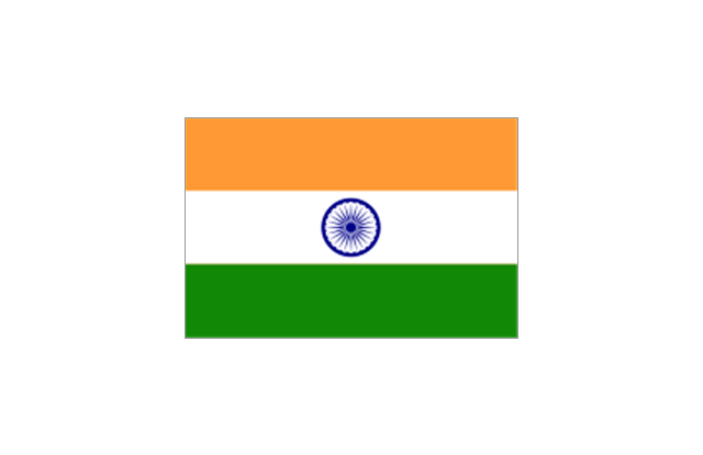
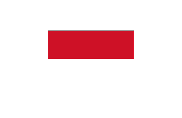
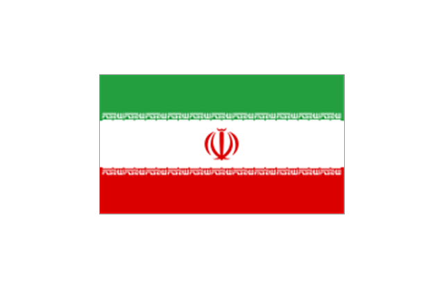
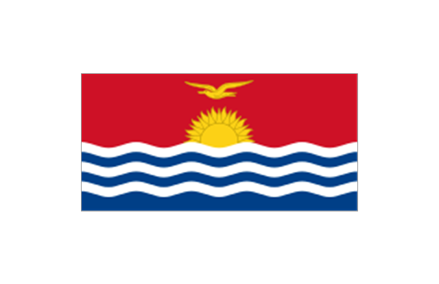
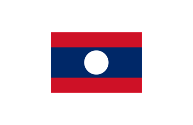
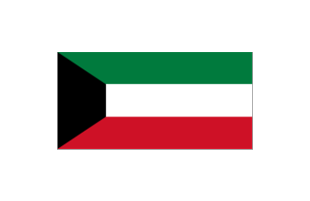
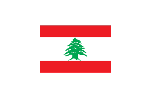
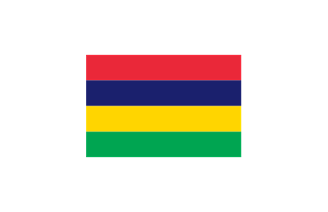
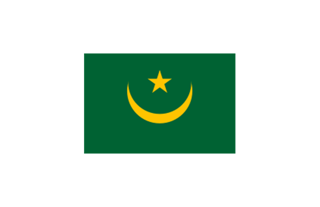
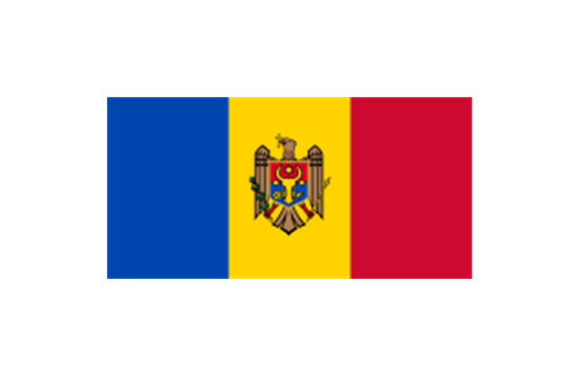
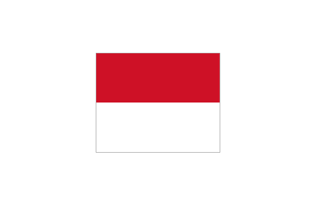
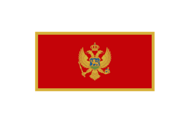
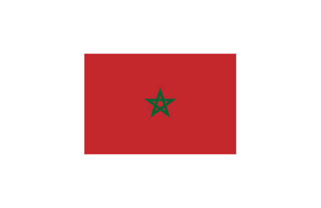
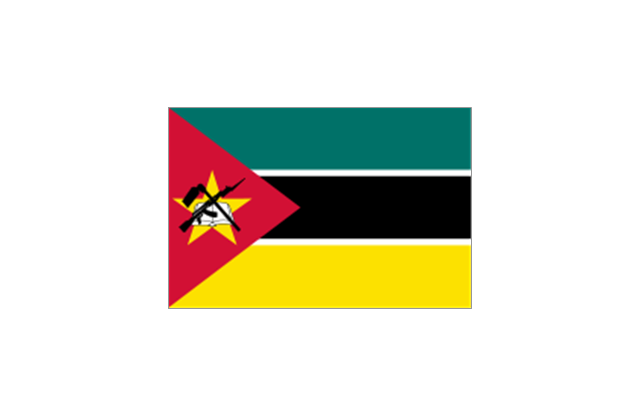
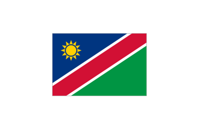
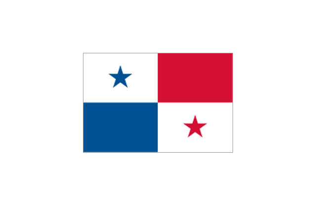
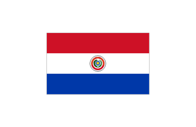
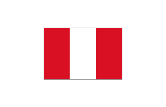
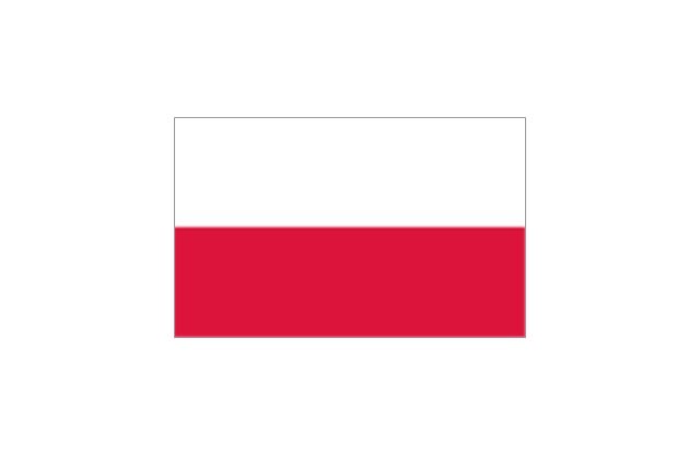
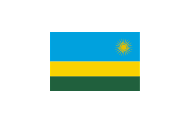
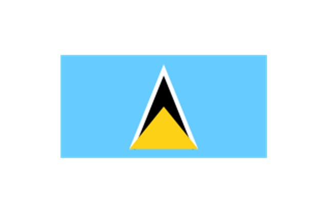
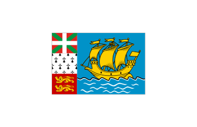
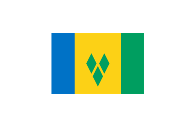
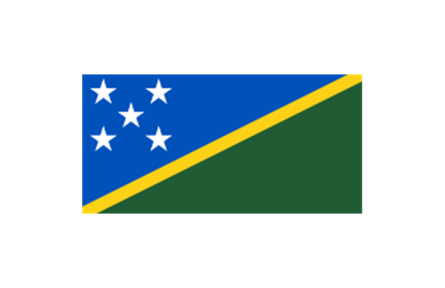
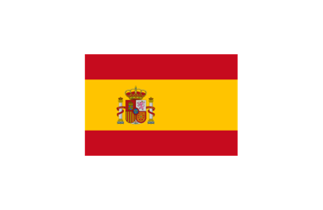
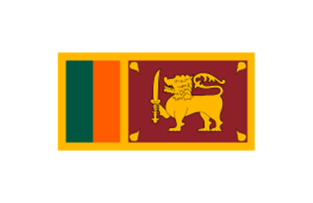
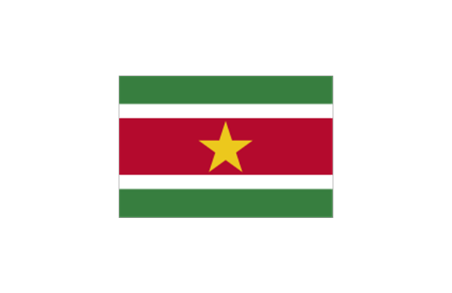
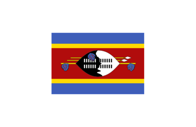
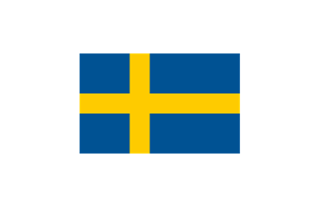
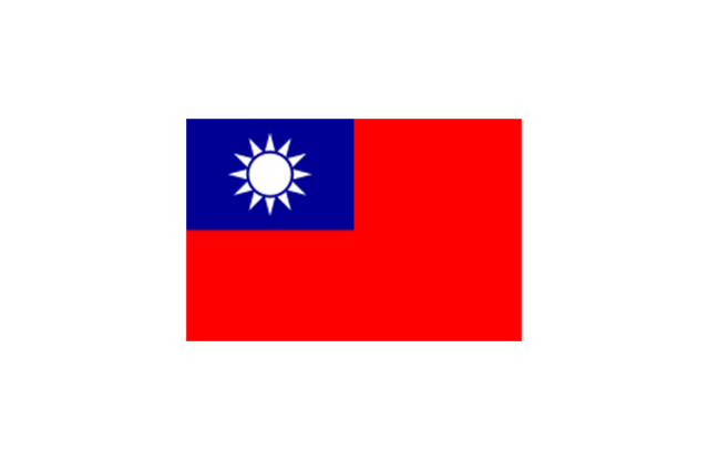
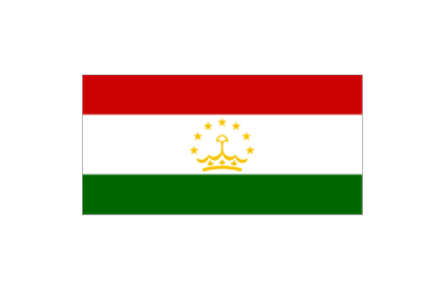
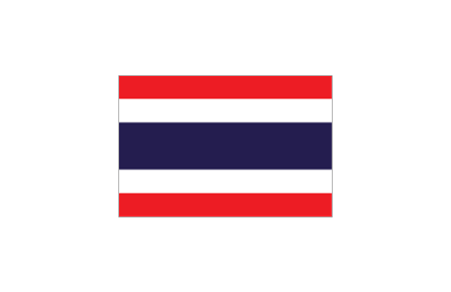
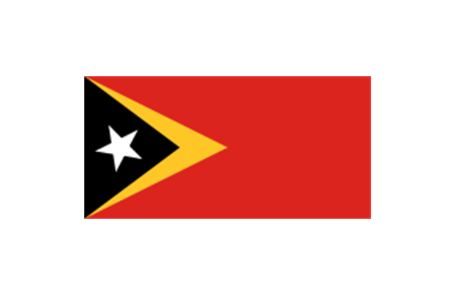
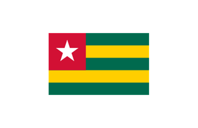
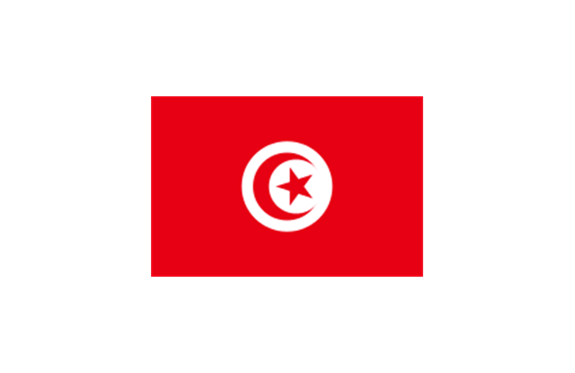
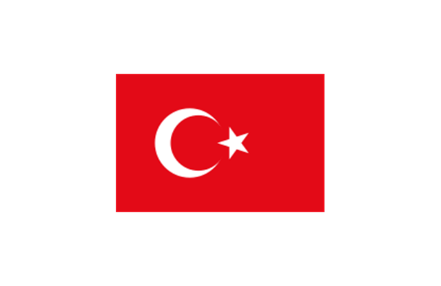
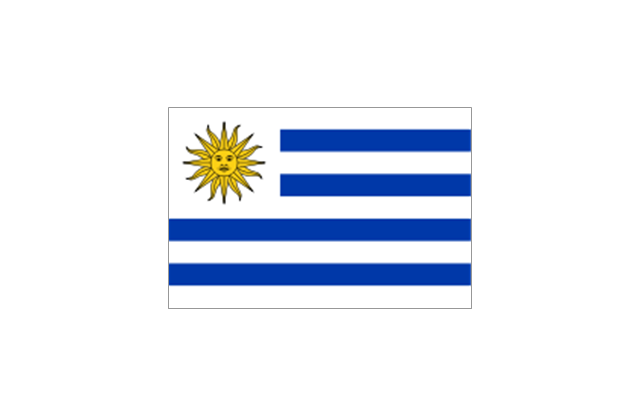
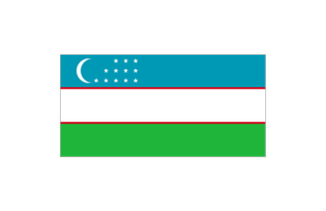
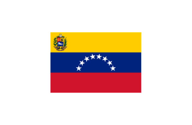
The stencils library "Flags" contains 204 clipart images of state flags.
"There are two separate meanings for the term state flag in vexillology - the flag of the government of a sovereign state, and the flag of an individual subnational state, such as a U.S. state, or a Russian oblast. ...
A state flag is a variant of a national flag (or occasionally a completely different design) specifically designated and restricted by law or custom (theoretically or actually) to use by a country's government or its agencies. For this reason they are sometimes referred to as government flags. In many countries the state flag and the civil flag (as flown by the general public) are identical, but in other countries, notably those in Latin America, central Europe, and Scandinavia, the state flag is a more complex version of the national flag, often featuring the national coat of arms or some other emblem as part of the design. Scandinavian countries also use swallowtailed state flags, to further differentiate them from civil flags.
In addition, some countries have state ensigns, separate flags for use by non-military government ships such as guard vessels. For example, government ships in the United Kingdom fly the blue ensign." [State flag. Wikipedia]
The clip art example "Flags - Stencils library" was created using the ConceptDraw PRO diagramming and vector drawing software extended with the Continent Maps solution from the Maps area of ConceptDraw Solution Park.
www.conceptdraw.com/ solution-park/ maps-continent
- Continent Maps | Geo Map - Europe - Germany | Design elements ...
- Continent Maps | Europe map template | Spatial infographics Design ...
- Continent Maps | Design elements - Continental map | Geo Map ...
- Continent Maps | Maps | Europe map template |
- Visualization Spatial Data Using Thematic Maps Combined with ...
- Political map of Europe | Map Software | Continent Maps |
- Geo Map - Europe - Conceptdraw.com
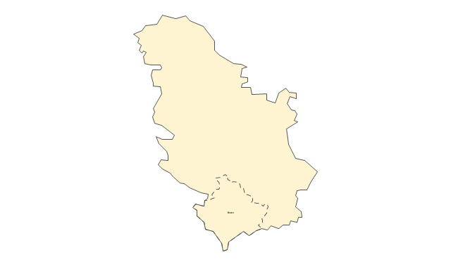
- Geo Map - Europe - Serbia
- Political map of Europe | Europe - Thematic map template | Geo Map ...
- Maps | Geo Map - Australia | Geo Map - Europe - Germany |
- Continent Maps | How to Draw a Geographical Map Quickly | Geo ...
- Continent Maps | Spatial infographics Design Elements: Location ...
- Geo Map - Africa - Ethiopia | Geo Map - Europe - Germany | Geo ...
- Political map of Europe | Tools to Create Your Own Infographics ...
- Continent Maps | Flags - Stencils library | Spatial Infographics |
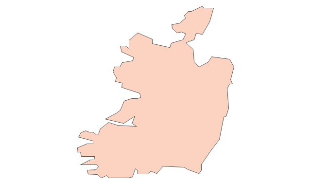
- Geo Map - Europe - Ireland
- Europe - Thematic map template | European membership of the EU ...
- Geo Map - World | Geo Map - Europe | Geo Map - Australia ...
- Spatial infographics Design Elements: Continental Map | Design ...
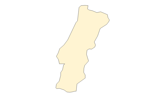
- Geo Map - Europe - Portugal

-europe---vector-stencils-library.png--diagram-flowchart-example.png)
