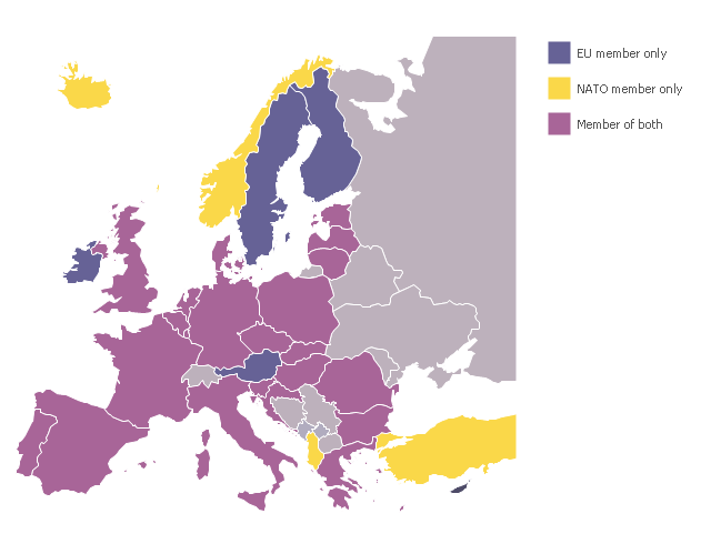
A map showing European membership of the EU and NATO.
"The European Union (EU) is an economic and political union of 28 member states that are located primarily in Europe.
The EU operates through a system of supranational independent institutions and intergovernmental negotiated decisions by the member states. Institutions of the EU include the European Commission, the Council of the European Union, the European Council, the Court of Justice of the European Union, the European Central Bank, the Court of Auditors, and the European Parliament. The European Parliament is elected every five years by EU citizens. The EU's de facto capital is Brussels." [European Union. Wikipedia]
"The principal military alliance in Europe remains NATO, which includes 21 of all EU member states as well as other non-EU European countries, Turkey, the United States and Canada." [Military of the European Union. Wikipedia]
"The North Atlantic Treaty Organization (NATO), also called the (North) Atlantic Alliance, is an intergovernmental military alliance based on the North Atlantic Treaty which was signed on 4 April 1949. The organization constitutes a system of collective defence whereby its member states agree to mutual defense in response to an attack by any external party. NATO's headquarters are in Brussels, Belgium, one of the 28 member states across North America and Europe, the newest of which, Albania and Croatia, joined in April 2009." [NATO. Wikipedia]
This Europe map example was redesigned using the ConceptDraw PRO diagramming and vector drawing software from the Wikimedia Commons file: EU and NATO.svg.
[commons.wikimedia.org/ wiki/ File:EU_ and_ NATO.svg]
The Europe political map example "European membership of the EU and NATO map" is included in the Continent Maps solution from the Maps area of ConceptDraw Solution Park.
Registered unemployment rate in Europe (EU-27) - september 2010. Data from Portal Euro-Indicators on EU Commission website (Eurostat). [epp.eurostat.ec.europa.eu/ portal/ page/ portal/ euroindicators/ peeis]
"Eurostat, the statistical office of the European Union, defines unemployed as those persons age 15 to 74 who are not working, have looked for work in the last four weeks, and ready to start work within two weeks, which conform to ILO standards. Both the actual count and rate of unemployment are reported. Statistical data are available by member state, for the European Union as a whole (EU27) as well as for the euro area (EA16). Eurostat also includes a long-term unemployment rate. This is defined as part of the unemployed who have been unemployed for an excess of 1 year.
The main source used is the European Union Labour Force Survey (EU-LFS). The EU-LFS collects data on all member states each quarter. For monthly calculations, national surveys or national registers from employment offices are used in conjunction with quarterly EU-LFS data. The exact calculation for individual countries, resulting in harmonized monthly data, depend on the availability of the data." [Unemployment. Wikipedia]
This example Registered unemployment rate in Europe (EU-27) - september 2010 was redesigned from the Wikimedia Commons file: Unemployment European Union 2010M09.svg.
[commons.wikimedia.org/ wiki/ File:Unemployment_ European_ Union_ 2010M09.svg]
This file is licensed under the Creative Commons Attribution-Share Alike 3.0 Unported license. [creativecommons.org/ licenses/ by-sa/ 3.0/ deed.en]
The thematic map example "Registered unemployment rate in Europe (EU-27) - september 2010" was created using the ConceptDraw PRO diagramming and vector drawing software extended with the Continent Map solution from the Maps area of ConceptDraw Solution Park.
Geo Map Software
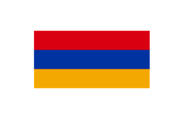
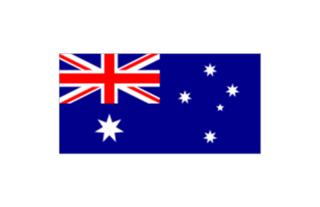
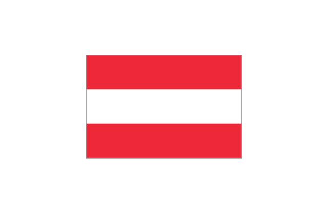
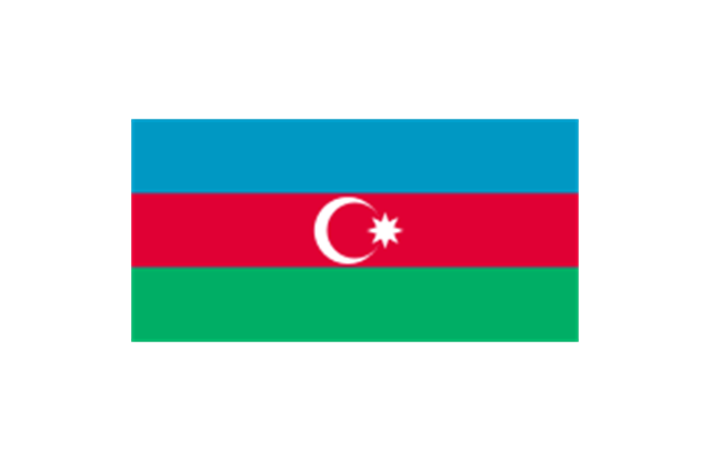
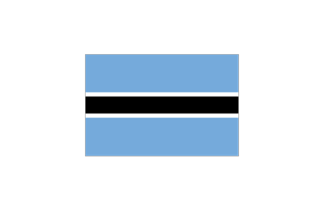
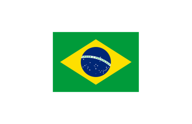
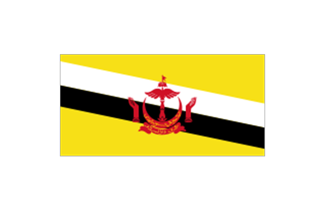
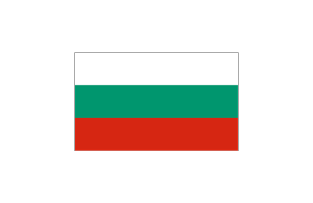
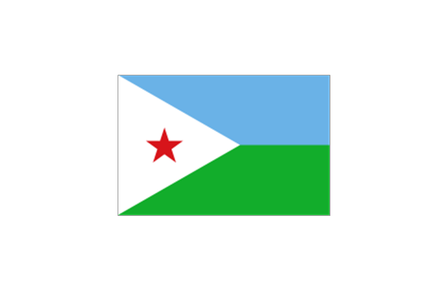
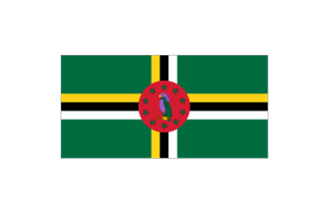
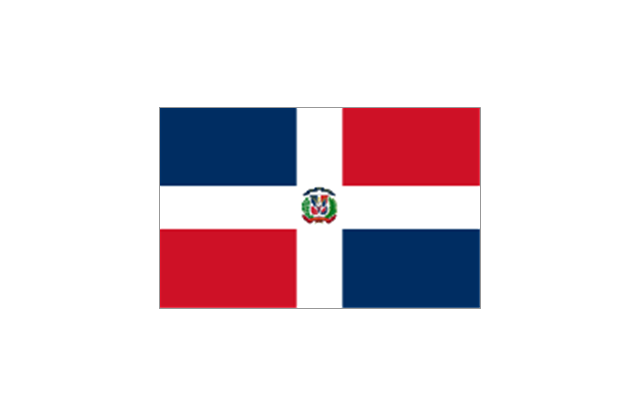
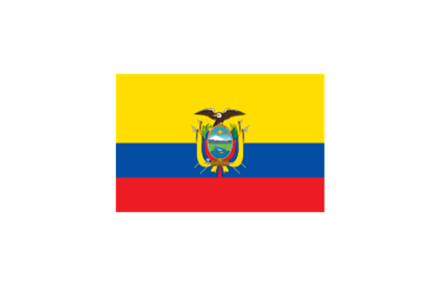
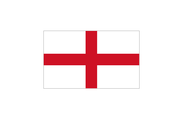
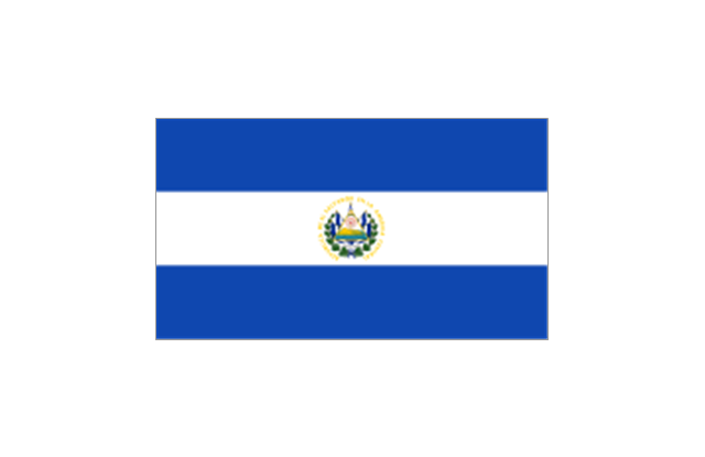
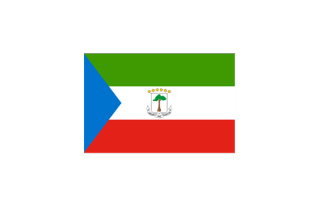
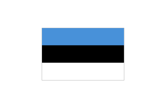
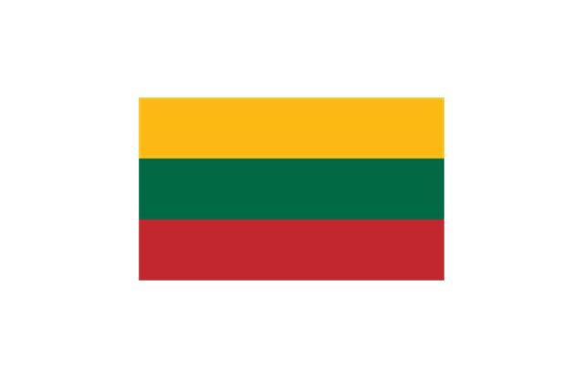
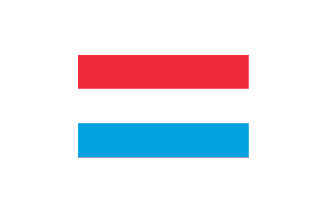
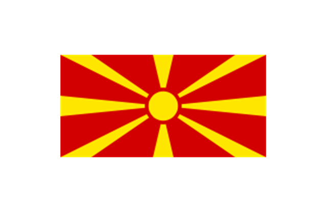
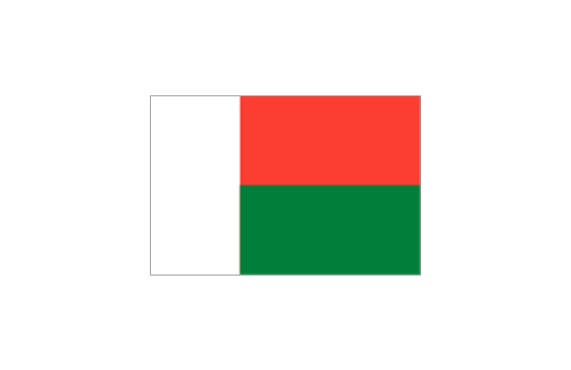
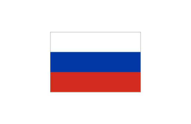
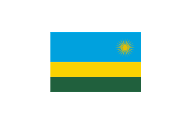
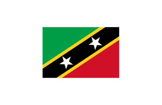
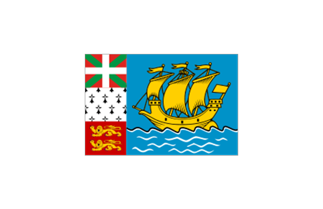
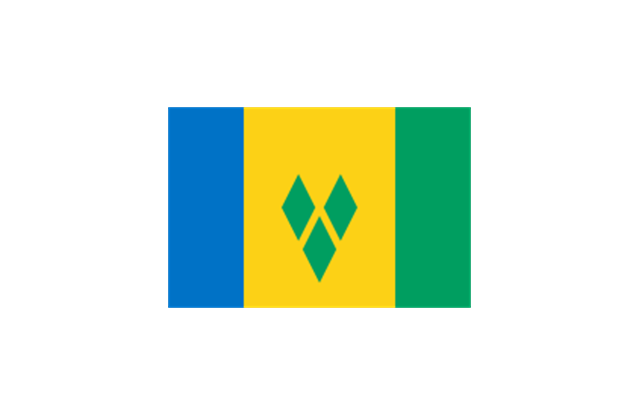
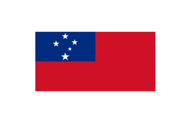
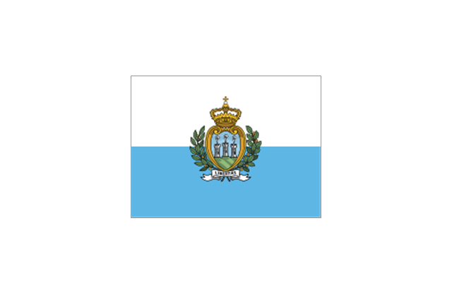
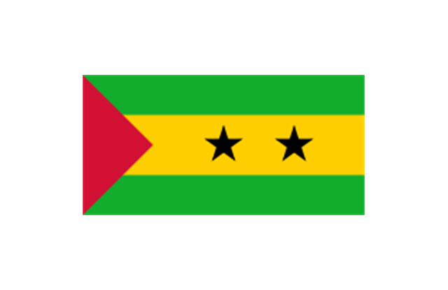
Geo Map Software - Full Geographic Reach of Your Business with Geo Map Shapes.The stencils library "Flags" contains 204 clipart images of state flags.
"There are two separate meanings for the term state flag in vexillology - the flag of the government of a sovereign state, and the flag of an individual subnational state, such as a U.S. state, or a Russian oblast. ...
A state flag is a variant of a national flag (or occasionally a completely different design) specifically designated and restricted by law or custom (theoretically or actually) to use by a country's government or its agencies. For this reason they are sometimes referred to as government flags. In many countries the state flag and the civil flag (as flown by the general public) are identical, but in other countries, notably those in Latin America, central Europe, and Scandinavia, the state flag is a more complex version of the national flag, often featuring the national coat of arms or some other emblem as part of the design. Scandinavian countries also use swallowtailed state flags, to further differentiate them from civil flags.
In addition, some countries have state ensigns, separate flags for use by non-military government ships such as guard vessels. For example, government ships in the United Kingdom fly the blue ensign." [State flag. Wikipedia]
The clip art example "Flags - Stencils library" was created using the ConceptDraw PRO diagramming and vector drawing software extended with the Continent Maps solution from the Maps area of ConceptDraw Solution Park.
www.conceptdraw.com/ solution-park/ maps-continent
Geo Map - Europe - Greece
Greece is strategically located at the crossroads of Europe, Asia, and Africa. The vector stencils library Greece contains contours for ConceptDraw PRO diagramming and vector drawing software. This library is contained in the Continent Maps solution from Maps area of ConceptDraw Solution Park.- Geo Map - Europe
- European membership of the EU and NATO map | Geo Map ...
- European membership of the EU and NATO map | Design elements ...
- European membership of the EU and NATO map | Political map of ...
- European membership of the EU and NATO map | EU 28: Candidate ...
- EU 28: Candidate countries map | European membership of the EU ...
- Vector Map of Germany | EU 28: Candidate countries map ...
- EU 28: Candidate countries map | Continent Maps | Eu28 Map
- EU 28: Candidate countries map | Geo Map - Africa - Tanzania | Geo ...
- EU 28: Candidate countries map | Design elements - Education ...
- European membership of the EU and NATO map | Exploded pie ...
- Map Software | Geo Map - Asia - Philippines | Flags - Stencils library ...
- EU 28: Candidate countries map | Eu Enlargement
- Geo Map - Europe - Croatia
- European membership of the EU and NATO map | World Continents ...
- Design elements - Continental map | European membership of the ...
- Directional Maps | Geo Map - Asia | European membership of the ...
- Geo Map - Canada | Canada political map | Canada regions ...
- European membership of the EU and NATO map | Eurooppa Nato ...
---september-2010.png--diagram-flowchart-example.png)

