Geo Mapping Software Examples - World Map Outline
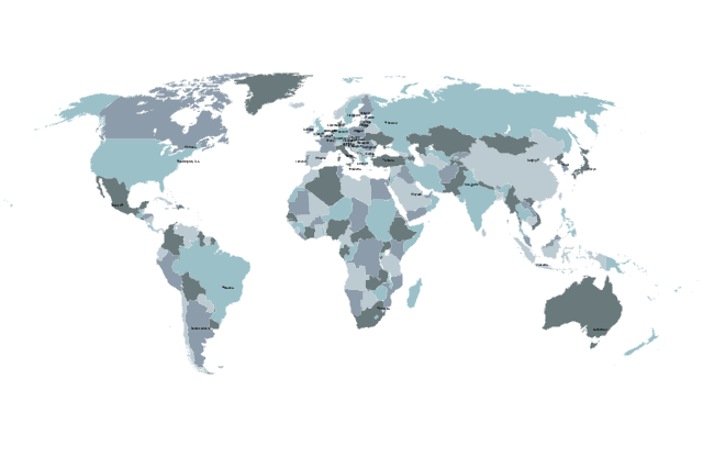
An Example world map, showing a simple outline of world map. The world map is vector and can be edited or export to svg format.Continent Map
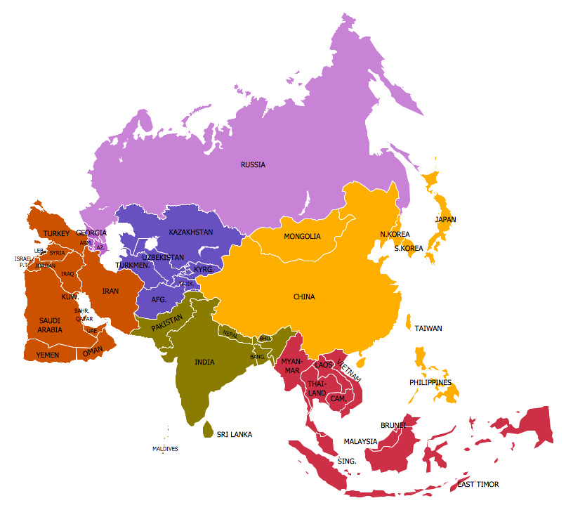
Every day many of people confront in their work with necessity of drawing various continent maps. Specially for these people was developed the Continent Maps Solution and included to the Maps Area of ConceptDraw Solution Park. Thanks to it you can design any Continent Map quick and easy.Types of Map - Overview
ConceptDraw defines some map types, divided into three categories. Every map type has specific shapes and examples.Continents and Oceans Map
You need design a continent map, world continents map, continents and oceans map, or any other type of continent maps? Now, it's very easy thanks to the ConceptDraw DIAGRAM diagramming and vector drawing software supplied with Continent Maps Solution from the Maps Area of ConceptDraw Solution Park.Value Stream Mapping Tool
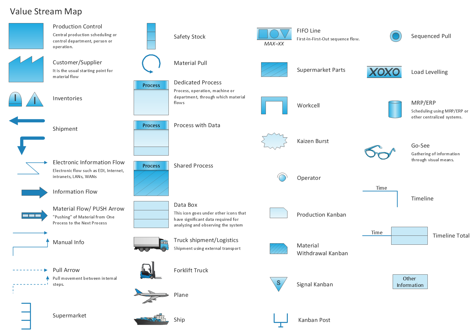
Value Stream Mapping solution extends ConceptDraw DIAGRAM software with tools for drawing Value Stream Maps (VSM): templates, samples and library of vector stencils.Excellent Examples of Infographic Maps
Create Spatial infographics with ConceptDraw using its excellent examples of infographic maps. We hope these can inspire and teach you!Geo Map - Asia - Myanmar
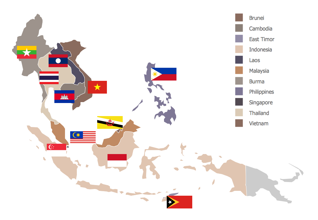
Burma, officially the Republic of the Union of Myanmar, commonly shortened to Myanmar, is a sovereign state in Southeast Asia bordered by Bangladesh, India, China, Laos and Thailand. The vector stencils library Myanmar contains contours for ConceptDraw DIAGRAM diagramming and vector drawing software. This library is contained in the Continent Maps solution from Maps area of ConceptDraw Solution Park.Geo Map - Canada
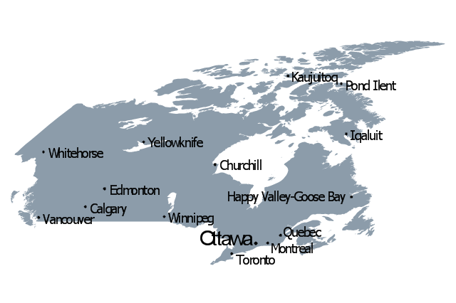
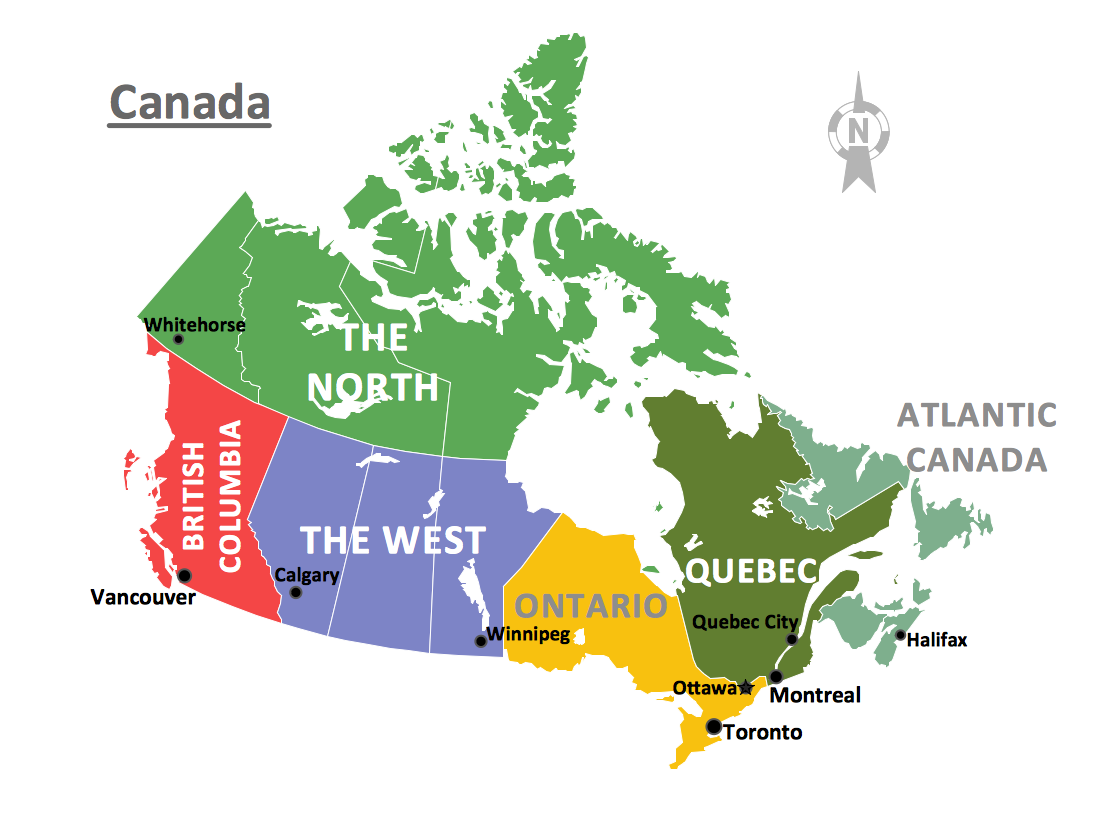
Canada is a country in North America consisting of 10 provinces and 3 territories. ConceptDraw DIAGRAM is idea to draw the geological maps of Canada from the pre-designed vector geo map shapes.Geo Map - Africa - Chad
Chad, officially the Republic of Chad, is a landlocked country in Central Africa. The vector stencils library Chad contains contours for ConceptDraw DIAGRAM diagramming and vector drawing software. This library is contained in the Continent Maps solution from Maps area of ConceptDraw Solution Park.Geo Map - Africa - Ethiopia
Ethiopia, officially known as the Federal Democratic Republic of Ethiopia, is a country located in the Horn of Africa. The vector stencils library Ethiopia contains contours for ConceptDraw DIAGRAM diagramming and vector drawing software. This library is contained in the Continent Maps solution from Maps area of ConceptDraw Solution Park.
 Customer Journey Mapping
Customer Journey Mapping Solution for ConceptDraw DIAGRAM opens incredibly broad opportunities for marketing and business specialists, product managers, designers, engineers, and other people interested in business development, increasing the product’s audience, its success and users' demand, providing them with capabilities of customer journey mapping. The included diagramming and customer journey mapping tools, predesigned vector customer journey mapping icons and charts, consumer journey mapping connectors, user journey and customer mapping figures, customer experience map icons and touchpoint icons, quick-start templates and samples provide excellent conditions for the customer journey mapping process, for creating Customer Journey Map and Customer Experience Map.
The vector stencils library "Education maps" contains 44 map contours: the Group of Twenty (G20) state maps, EU state maps and world map.
Use it to visualize geospatial information on thematic maps in your education infograms.
"A world map is a map of most or all of the surface of the Earth. ...
A thematic map shows geographic information about one or a few focused subjects." [World map. Wikipedia]
The political World map example "Design elements - Education maps (World map)" was created using the ConceptDraw PRO diagramming and vector drawing software extended with the Education Infographics solition from the area "Business Infographics" in ConceptDraw Solution Park.
Directions Maps
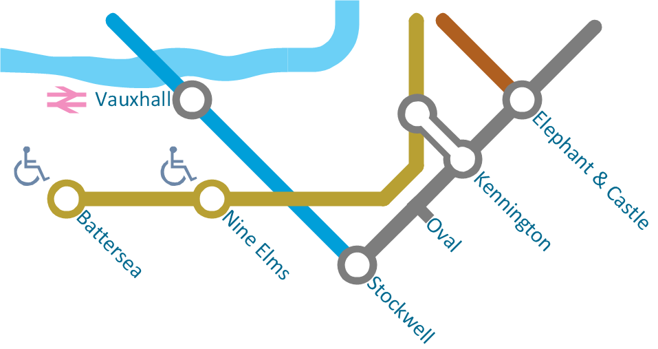
It is convenient to represent various routes, directions, roads on the directional maps and navigation schemes. ConceptDraw DIAGRAM diagramming and vector drawing software supplied with Directional Maps Solution from the Maps Area of ConceptDraw Solution Park is effective for drawing Directions Maps.Idea Outline
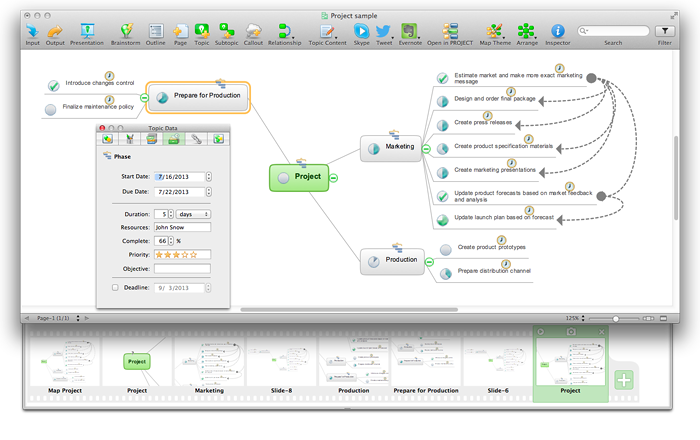
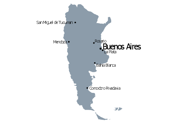
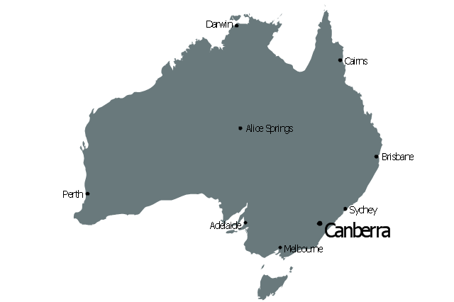
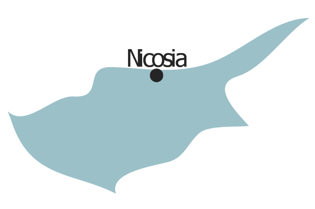
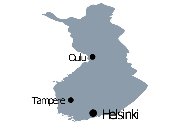
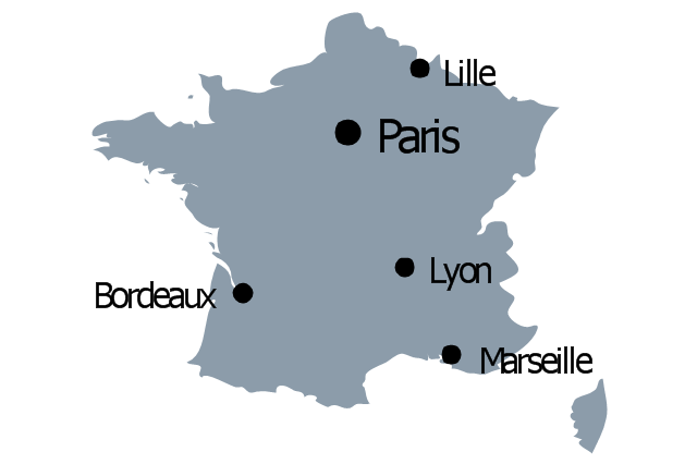
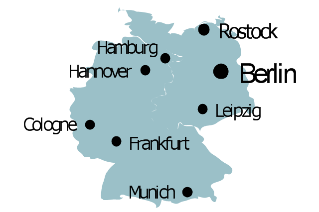
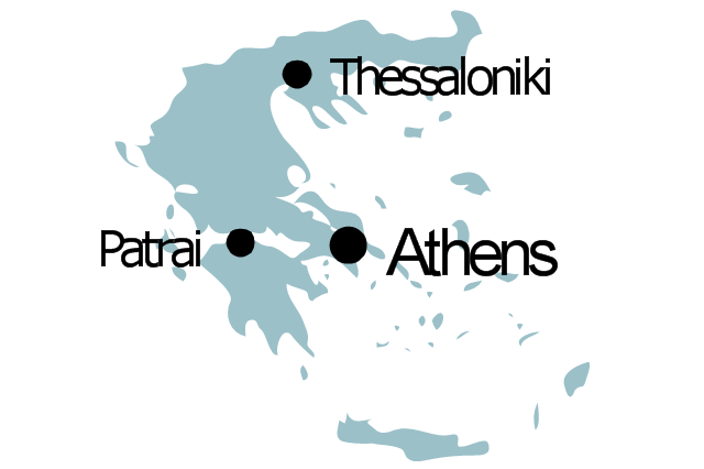
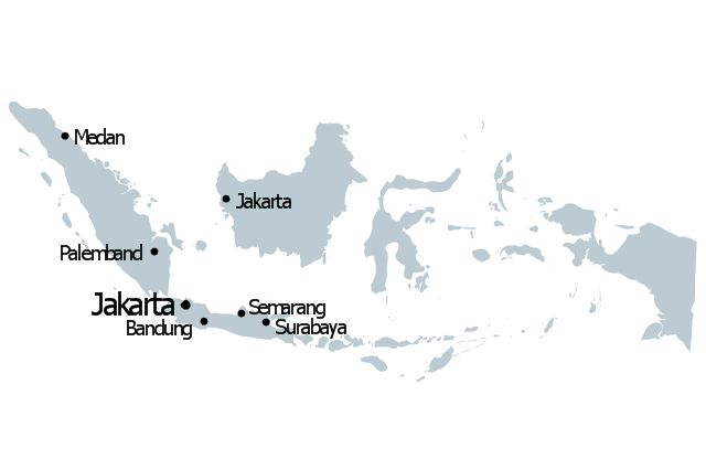
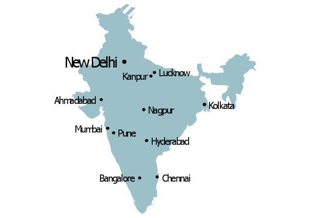
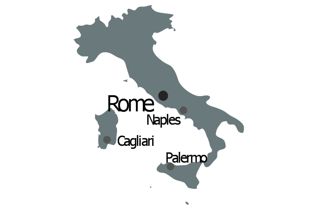
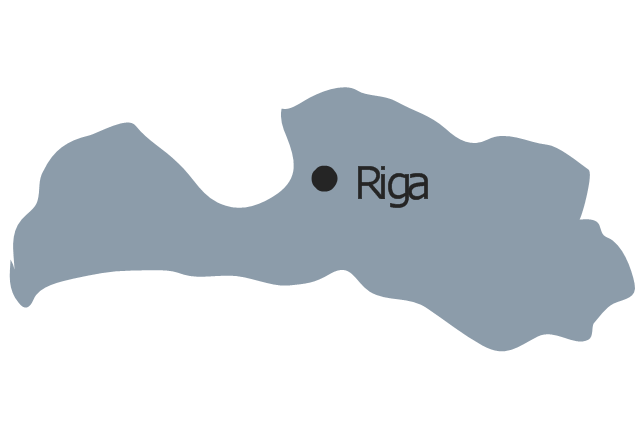
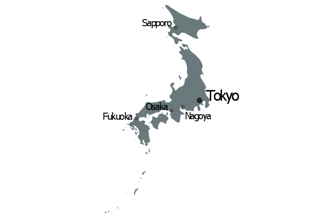
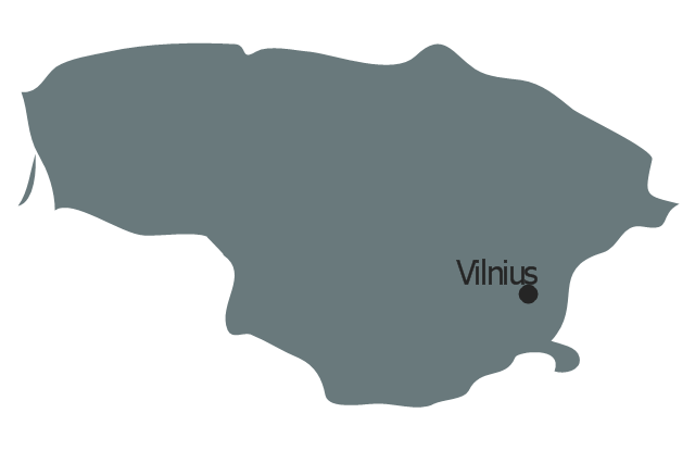
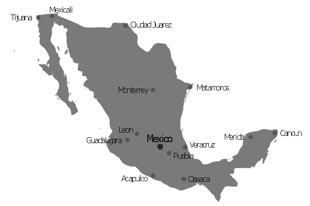
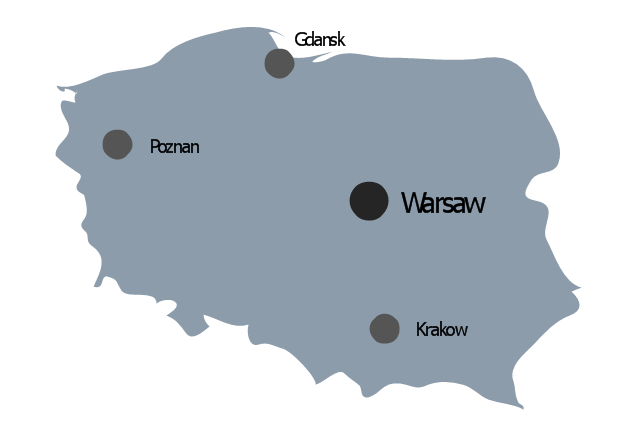
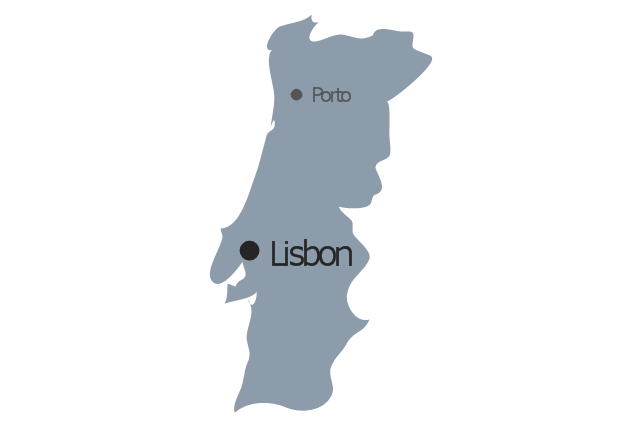
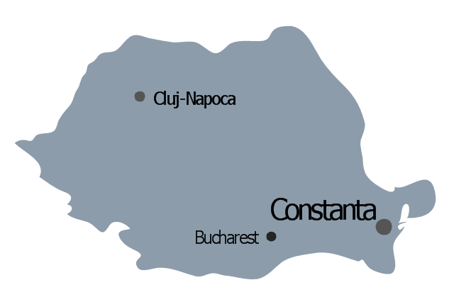
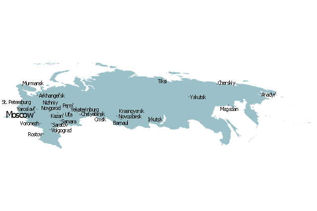
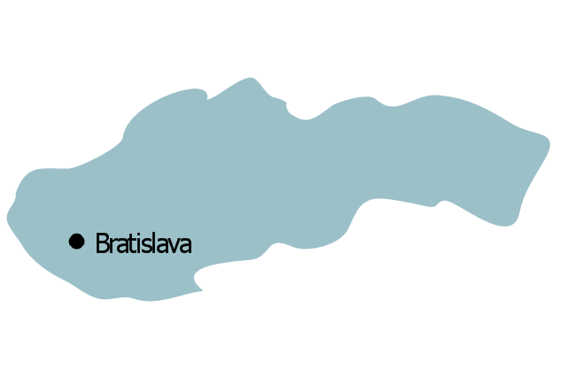
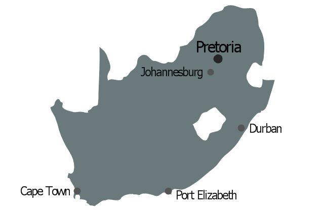
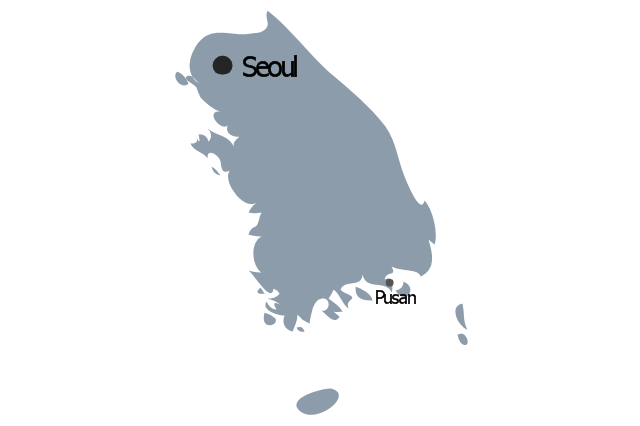
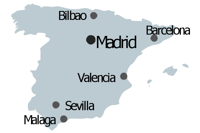
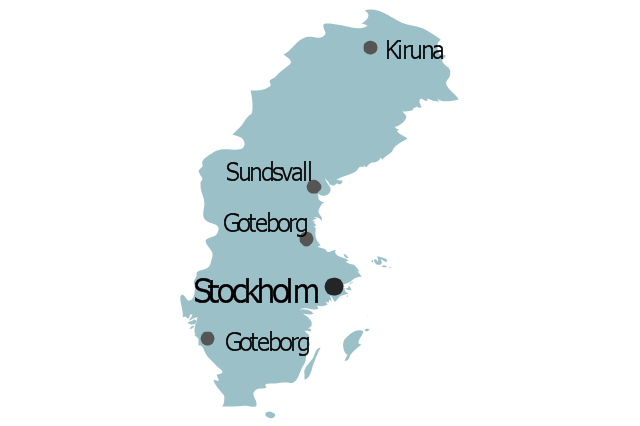
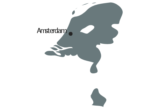
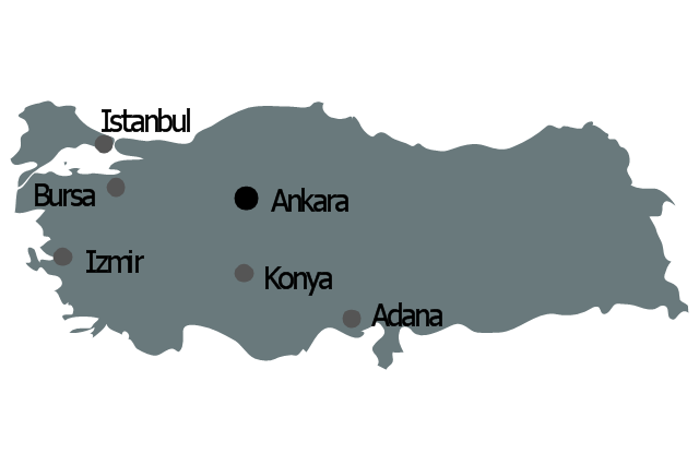
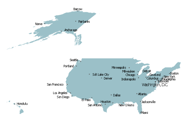
ConceptDraw MINDMAP is a powerful brainstorming software, the best application for ideas communication, for outlining ideas and data, for organizing arguments and other information. ConceptDraw MINDMAP software and solutions offered by ConceptDraw Solution Park help to hold the brainstorming session, to brainstorm a lot of new ideas, to outline your ideas, to make the Mind Map from the new ideas and concepts, to show new ideas at the presentation, efffectively communicate them and report at the meetings and conferences. The good ideas outline saves your time and helps visually explain your ideas for other people. Outline effectively your ideas using varied tools offered by ConceptDraw MINDMAP and make sure that it is very easy. The wide export capabilities of ConceptDraw MINDMAP are also helpful for ideas communication and collaboration with colleagues which don't have installed ConceptDraw Office applications. You can create automatically the MS PowerPoint presentation or MS Word document from the content of the active page of your map with a simple click.The vector stencils library "Marketing maps" contains 44 state map contours with capitals and major cities: the Group of Twenty (G20) state maps, EU state maps and World map.
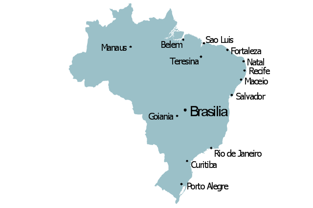
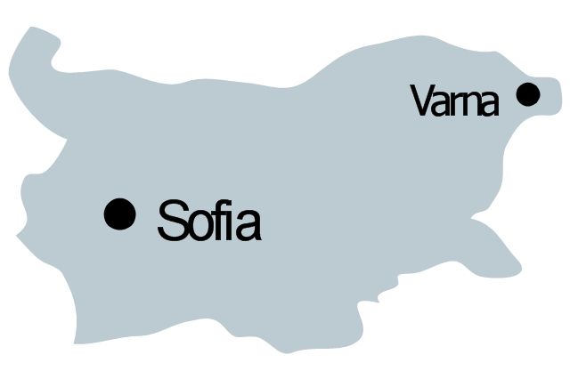
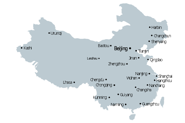
Use it to visualize geospatial information in your marketing infograms.
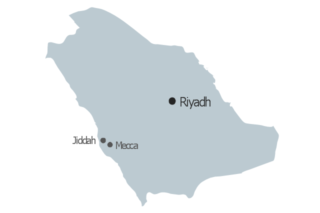
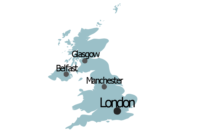
"The Group of Twenty (also known as the G-20 or G20) is a forum for the governments and central bank governors from 20 major economies. The members, shown highlighted on the map at right, include 19 individual countries—Argentina, Australia, Brazil, Canada, China, France, Germany, India, Indonesia, Italy, Japan, Republic of Korea, Mexico, Russian Federation, Saudi Arabia, South Africa, Turkey, United Kingdom, United States—and the European Union (EU). The EU is represented by the European Commission and by the ECB." [G-20 major economies. Wikipedia]
The G-20 state map contours example "Design elements - Marketing maps (G-20)" was created using the ConceptDraw PRO diagramming and vector drawing software extended with the Marketing Infographics solition from the area "Business Infographics" in ConceptDraw Solution Park.
ConceptDraw MINDMAP : Brainstorming, Mind Mapping for macOS and Windows
ConceptDraw MINDMAP is a powerful business and personal productivity software application that provides visual organization and access to information for individuals and organizations.The vector stencils library "Management maps" contains 44 map contours: G-20 state maps, EU state maps and world map.
Use it to create your management infogram in the ConceptDraw PRO diagramming and vector drawing software.
The state map contours example "Management maps - Vector stencils library" is included in the solution "Marketing infographics" from the "Business infographics" area of ConceptDraw Solution Park.
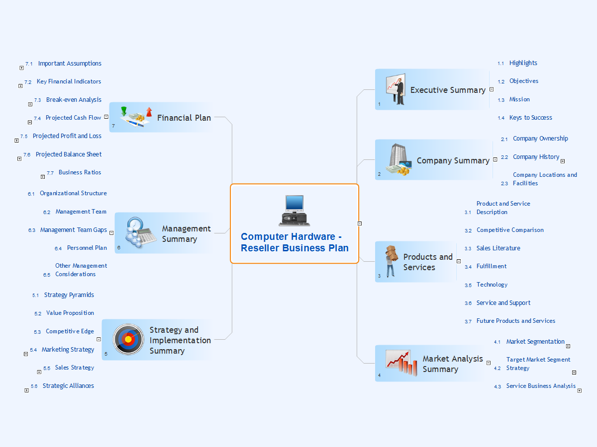
Computer Hardware - Reseller Business Plan
When developing a business plan it is very important to accurately represent the structure and visually outline all important information. A business plan usually has a clear hierarchical structure. The Mind Maps are particularly effective to describe such structures, they are one of the most powerful and visually intuitive tools for the tasks of structuring and memorizing large amounts of information. The Mind Maps are indispensable in development the complex projects, in preparation and discussion of business plans, in designing the presentations, in process of decision making, holding brainstorming, time management, etc. As for the software for working with Mind Maps, particularly effective is a cross-platform ConceptDraw MINDMAP software for Windows and Mac OS X. It provides many tools that help in business plan preparation for organizing the new business, in developing a business plan for promotion some product, etc. ConceptDraw MINDMAP supports the multipage documents, the export and import into popular applications MS PowerPoint, MS Word, PDF, MindManager, in project management applications ConceptDraw Project and MS Project, and in various graphical formats. You can to observe a Mind Map of a business plan for computer hardware reseller designed in ConceptDraw MINDMAP.This example was created on the base of thematic map "Germany: Sugarbeets. Percent of total area by state" from the website of the U.S. Department of Agriculture. [usda.gov/ oce/ weather/ pubs/ Other/ MWCACP/ Graphs/ eur/ grmsugb.gif]
"Sugar beet, cultivated Beta vulgaris, is a plant whose root contains a high concentration of sucrose. It is grown commercially for sugar production.
In 2011, France, the United States, Germany, Russia, and Ukraine were the world's five largest sugar beet producers by mass, whilst by value Turkey takes the place of Ukraine. However, in 2010–2011, North America, Western Europe, and Eastern Europe did not produce enough sugar from sugar beets to meet overall demand for sugar, and were all net importers of sugar. ... In 2009, sugar beets accounted for 20% of the world's sugar production." [Sugar beet. Wikipedia]
The thematic map example "Germany crop areas map - Sugar beets" was designed using the ConceptDraw PRO software extended with the Map of Germany solution from the Maps area of ConceptDraw Solution Park.
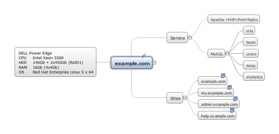
Servers
The ConceptDraw Office applications, such as ConceptDraw MINDMAP and ConceptDraw DIAGRAM are powerful and intelligent vector graphics engine for solution many tasks. The samples and templates collected and offered by ConceptDraw Solution Park, and also ready-to-use libraries of vector objects of computer network devices, servers, standard symbols and smart connectors contribute to effective computer network diagramming and computer network design. The quick and easy arrangement of ready symbols lets depict computer configurations and network topologies, design logical, physical, cable networks schematics, create Network Diagrams in one moment. ConceptDraw MINDMAP software helps in effective designing well-organized Mind Maps of any complexity, in structuring in a visual manner detailed information about all used equipment, in drawing common Computer Network Diagrams. A well-organized Mind Map usually includes the multiple pages, which offer the list of all servers with detailed configuration of each of them. This Mind Map designed in ConceptDraw MINDMAP represents the servers.- World Maps
- Geo Mapping Software Examples - World Map Outline | Geo Map ...
- Geo Mapping Software Examples - World Map Outline | Germany ...
- Geo Mapping Software Examples - World Map Outline | The Best ...
- Geo Mapping Software Examples - World Map Outline | Geo Map ...
- Geo Mapping Software Examples - World Map Outline | World ...
- Process Flowchart | Geo Mapping Software Examples - World Map ...
- Geo Map - World | Geo Mapping Software Examples - World Map ...
- Continent Maps | Geo Mapping Software Examples - World Map ...
- Geo Mapping Software Examples - World Map Outline | Geo Map ...
- Geo Map - Asia - Myanmar | Geo Mapping Software Examples ...
- PDPC | Geo Mapping Software Examples - World Map Outline | Fire ...
- Geo Map - Asia - Myanmar | Geo Mapping Software Examples ...
- Map Software | Geo Mapping Software Examples - World Map ...
- Geo Map - World | Geo Map of Americas | Geo Map — United States ...
- How to Print an Outline Directly From Mind Map | Geo Mapping ...
- India Map Outline
- Geo Map - Africa - Ethiopia
- Design elements - CRM maps | Types of Map - Overview | Geo ...





.png--diagram-flowchart-example.png)

-state-maps-design-elements---marketing-maps-(g-20).png--diagram-flowchart-example.png)
