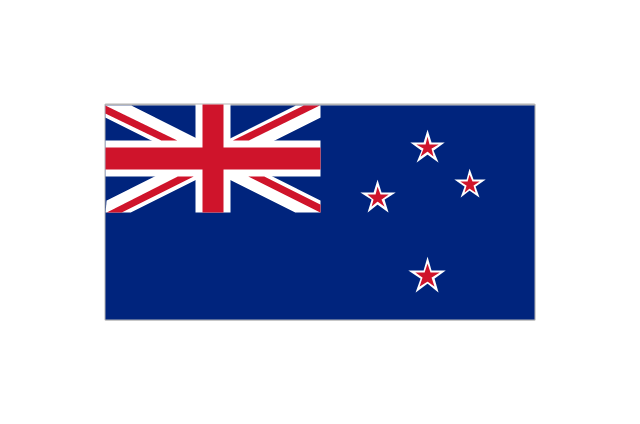
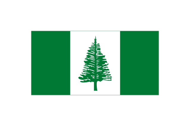
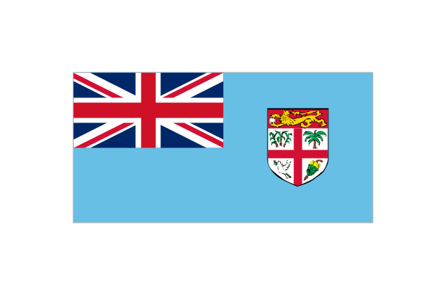
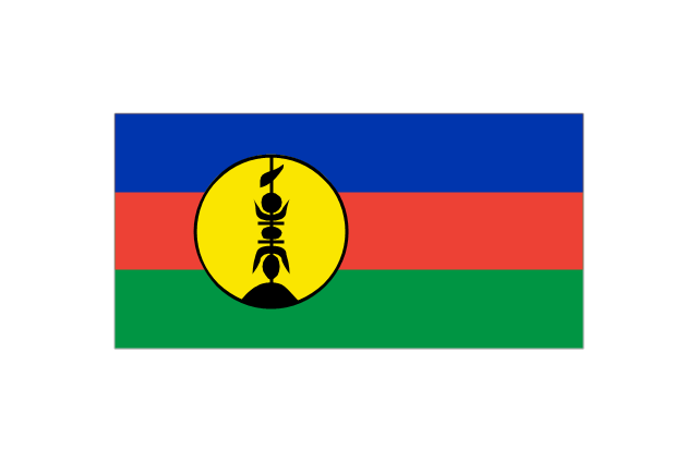
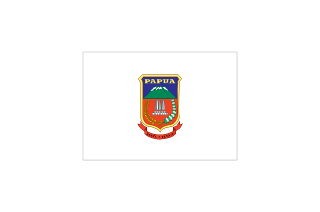
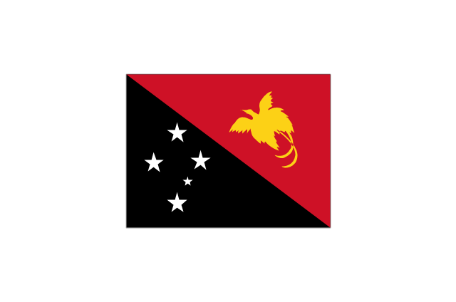
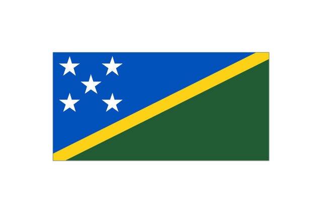
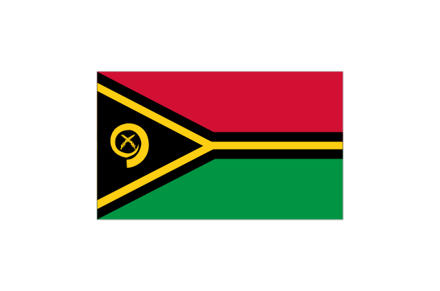
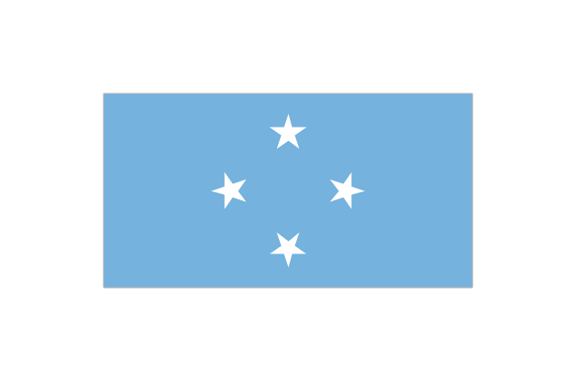
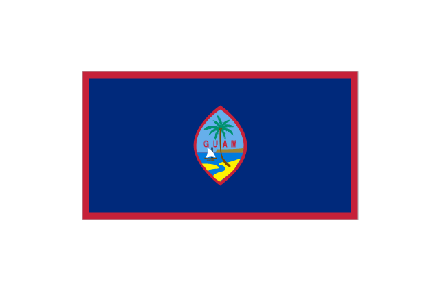
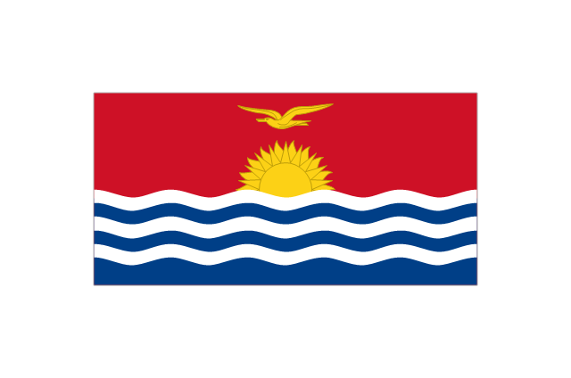
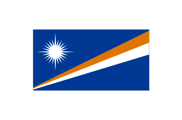
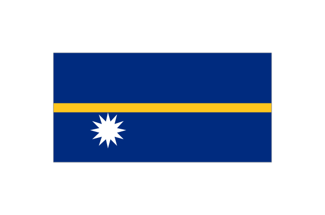
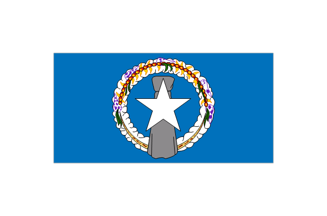
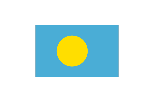
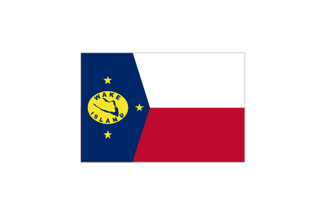
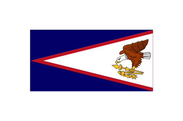
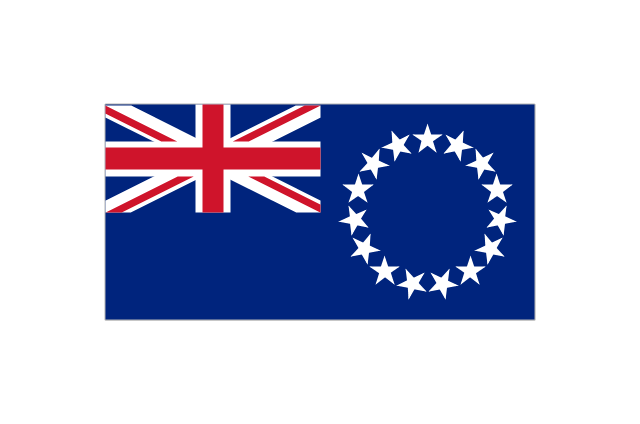
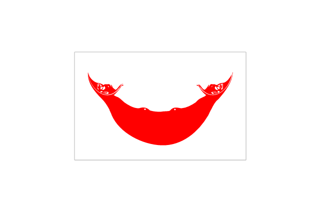
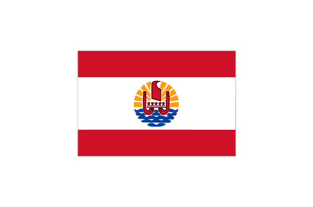
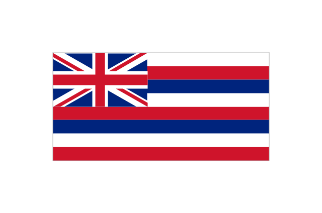
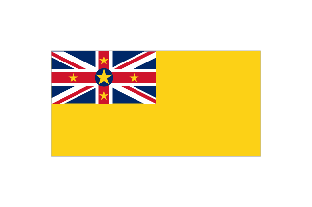
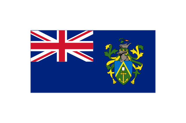
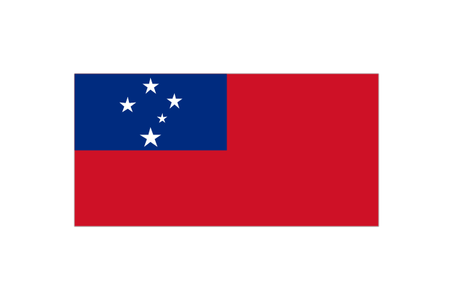
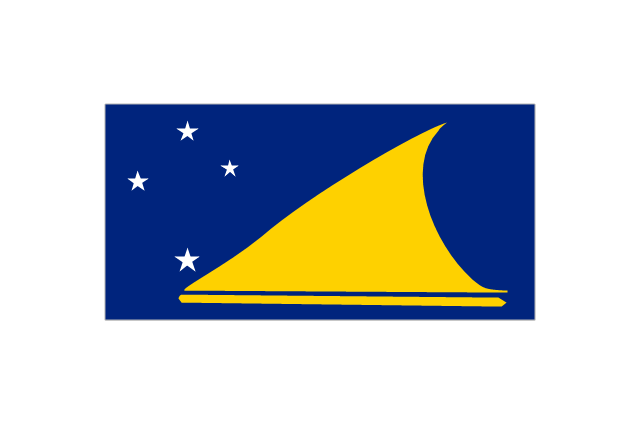
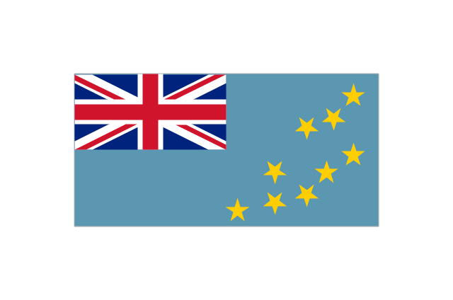
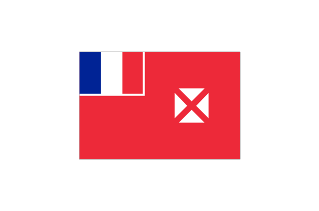
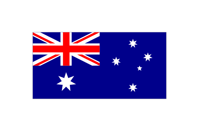
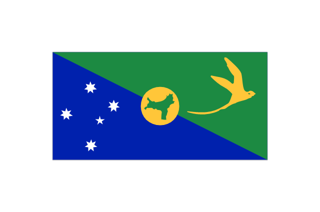
The vector stencils library "Oceania country flags" contains 31 clipart images of Oceanian state flags. Use the Oceania country flags clip art to illustrate your business documents, presentation slides, web pages, geo maps and infographics. The clip art example "Oceania country flags - Vector stencils library" was created using the ConceptDraw PRO diagramming and vector drawing software extended with the Artwork solution from the Illustration area of ConceptDraw Solution Park.
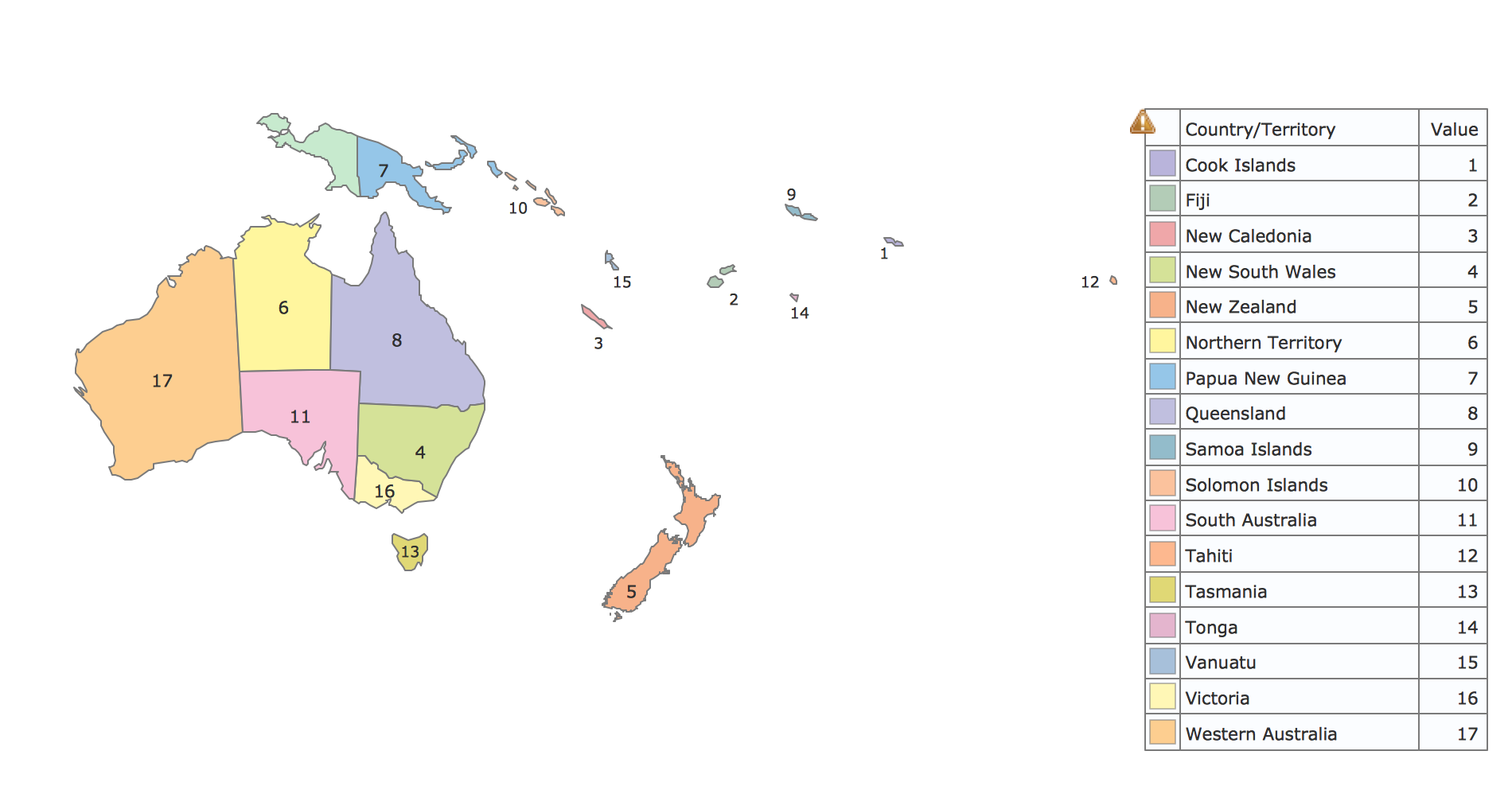
Geo Map - Oceania
The vector stencils library Oceania contains contours for ConceptDraw PRO diagramming and vector drawing software.Map Software
Create maps, flags, and more with ConceptDrawGeo Map - Asia - Papua New Guinea
Papua New Guinea, officially named the Independent State of Papua New Guinea, is a country in Oceania that occupies the eastern half of the island of New Guinea (the western portion of the island is a part of the Indonesian provinces of Papua and West Papua) and numerous offshore islands. The vector stencils library Papua New Guinea contains contours for ConceptDraw PRO diagramming and vector drawing software. This library is contained in the Continent Maps solution from Maps area of ConceptDraw Solution Park.Geo Map Software
Geo Map Software - Full Geographic Reach of Your Business with Geo Map Shapes.Geo Map - Asia
ConceptDraw is idea to draw the geological maps of Asia from the pre-designed vector geo map shapes. Use Geo Map Asia to draw thematic maps, geospatial infographics and vector illustrations for your business documents, presentations and websites.Geo Map - Europe - Serbia
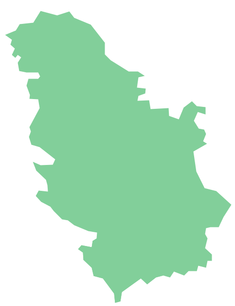
The vector stencils library Serbia contains contours for ConceptDraw PRO diagramming and vector drawing software. This library is contained in the Continent Maps solution from Maps area of ConceptDraw Solution Park.Geo Map - Europe - Austria
The vector stencils library Austria contains contours for ConceptDraw PRO diagramming and vector drawing software. This library is contained in the Continent Maps solution from Maps area of ConceptDraw Solution Park.Geo Map - Asia - India
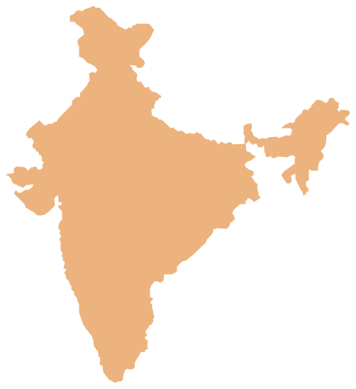
India, officially the Republic of India (Bharat Ganrajya), is a country in South Asia. The vector stencils library India contains contours for ConceptDraw PRO diagramming and vector drawing software. This library is contained in the Continent Maps solution from Maps area of ConceptDraw Solution Park.Geo Map - South America Continent
South America includes 12 sovereign states. ConceptDraw PRO is idea to draw the geological maps of South America continent from the pre-designed vector geo map shapes. Use Continent Maps solution from the Maps area of ConceptDraw Solution Park to draw thematic maps, geospatial infographics and vector illustrations for your business documents, presentations and websites.Geo Map - Europe - Spain
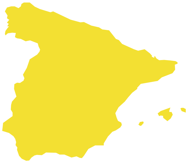
The vector stencils library Spain contains contours for ConceptDraw PRO diagramming and vector drawing software. This library is contained in the Continent Maps solution from Maps area of ConceptDraw Solution Park.Geo Map - Europe - France
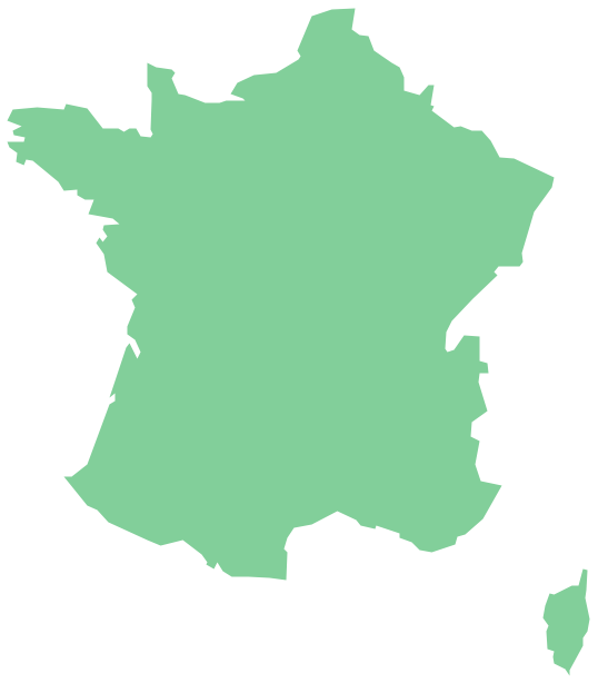
The vector stencils library France contains contours for ConceptDraw PRO diagramming and vector drawing software. This library is contained in the Continent Maps solution from Maps area of ConceptDraw Solution Park.Geo Map - South America - Chile
Chile, officially the Republic of Chile, is a South American country occupying a long, narrow strip of land between the Andes mountains to the east and the Pacific Ocean to the west. The vector stencils library Chile contains contours for ConceptDraw PRO diagramming and vector drawing software. This library is contained in the Continent Maps solution from Maps area of ConceptDraw Solution Park.Geo Map - Asia - Indonesia
Indonesia, officially the Republic of Indonesia, is a sovereign state in Southeast Asia and Oceania. The vector stencils library Indonesia contains contours for ConceptDraw PRO diagramming and vector drawing software. This library is contained in the Continent Maps solution from Maps area of ConceptDraw Solution Park.Geo Map - Asia - Philippines
The Philippines, officially known as the Republic of the Philippines, is a sovereign island country in Southeast Asia situated in the western Pacific Ocean. Use the Continent Maps solution and Philippines library to draw thematic maps, geospatial infographics and vector illustrations. This solution to help visualize the business and thematic information connected with geographic areas, locations or customs; for your business documents, presentations and websites.- Oceania flags - Vector stencils library | Geo Map - Oceania | Oceania ...
- Oceania flags - Vector stencils library | Design elements - Oceania ...
- Oceania flags
- Geo Map - Oceania | Design elements - Oceania flags | Oceania ...
- Geo Map - Oceania | Oceania flags - Vector stencils library | Design ...
- Oceania flags - Vector stencils library | Geo Map - Australia - New ...
- North and Central America flags - Stencils library | Africa flags ...
- Oceania flags - Vector stencils library | Geo Map - South America ...
- Geo Map - Australia
- Geo Map - USA - Hawaii | Geo Map - United States of America Map ...
- South Asia - Political map | Geo Map - Oceania | Map of Germany ...
- Geo Map - South America - Chile | South America country flags ...
- Indonesia Flag Map
- European country flags - Vector stencils library | Africa flags ...
- Easy Oceania Map
- Asian Country Flag Pics
- ConceptDraw Solution Park | Fruit Art | Quick Recipes | Software For ...
- Artwork | Clipart School | Design elements - Music | Artwork Solution
- European country flags - Vector stencils library | South America ...
- European country flags - Vector stencils library | South America ...
-islands-oceania-flags---vector-stencils-library.png--diagram-flowchart-example.png)
