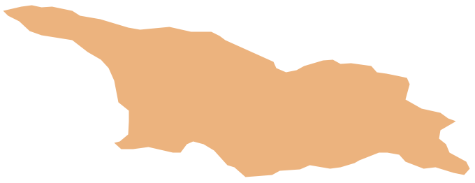
Geo Map - Asia - Georgia
Georgia is a country in the Caucasus region of Eurasia. The vector stencils library Georgia contains contours for ConceptDraw PRO diagramming and vector drawing software. This library is contained in the Continent Maps solution from Maps area of ConceptDraw Solution Park.HelpDesk
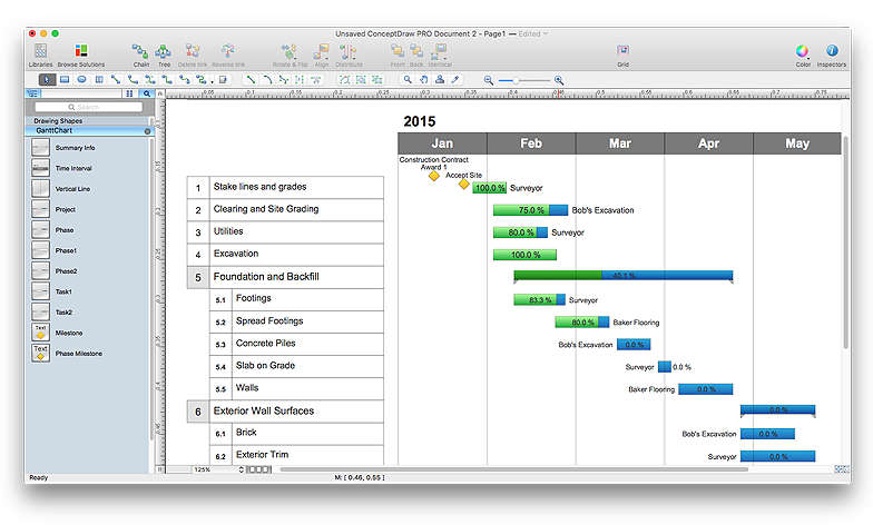
How to Draw a Gantt Chart Using ConceptDraw PRO
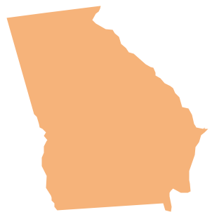
A Gantt chart is intended to provide a visualization of a project schedule. It is developed to help planning, coordinating, and tracking on project tasks implementation. One of the most critical resources for a project implementation is a time resources. Gantt chart - is one of the most convenient and popular way of graphical representation of a project tasks progress in conjunction with the corresponding time consumption. Gantt chart's function is to show project tasks completion in a progress, and to make a project manager sure that project tasks were completed on time. ConceptDraw Office is a clear and easy-to-use tool for project management. It is a very handy visual tool that helps make a project processing clear.Geo Map - USA - Georgia
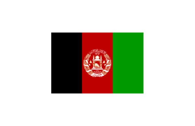
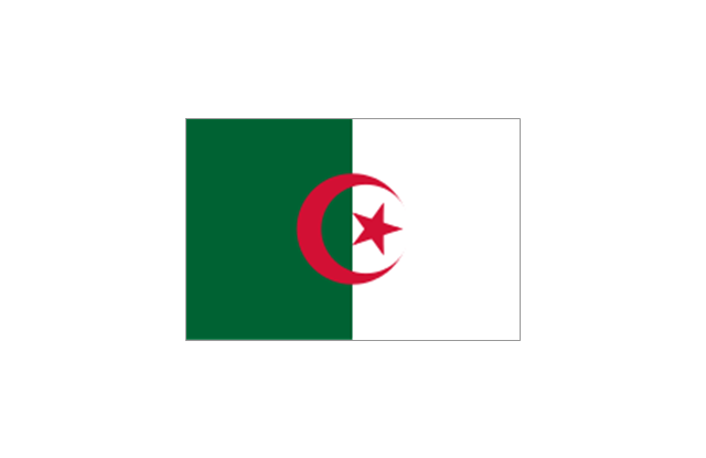
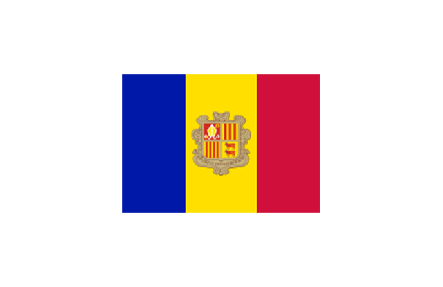
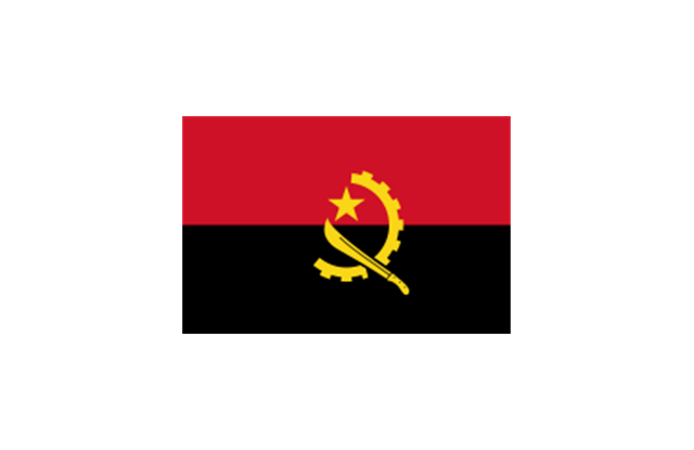
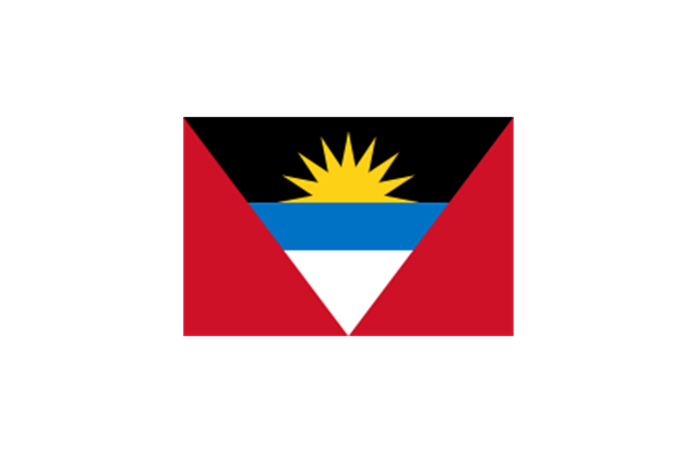
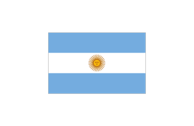
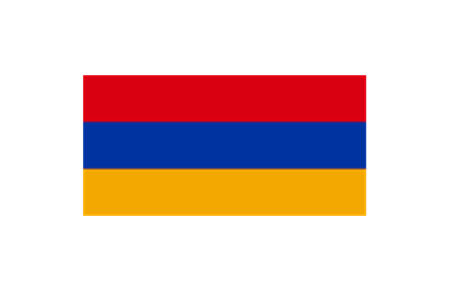
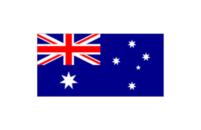
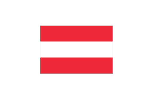
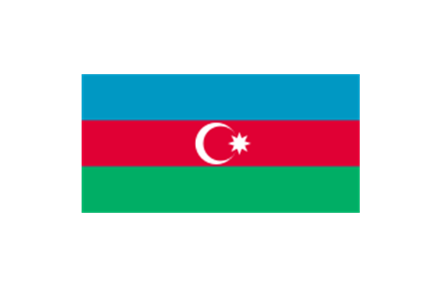
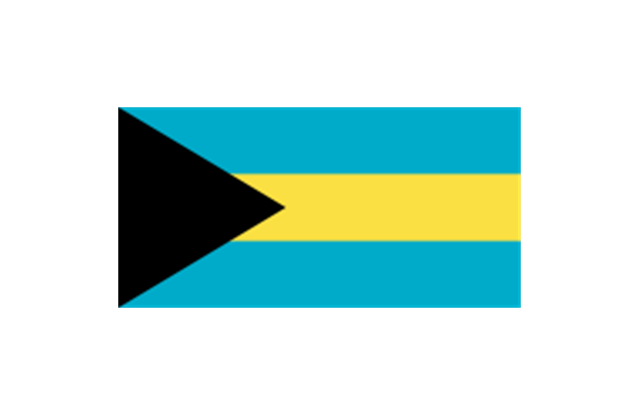
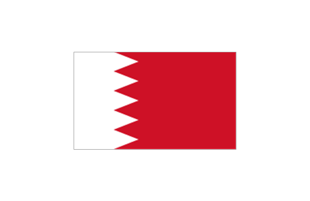
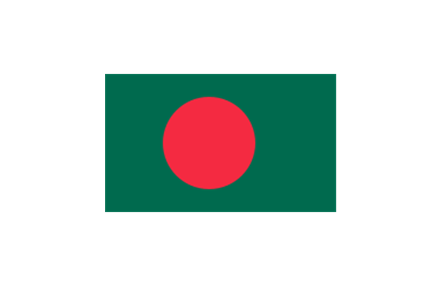
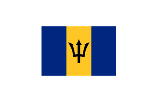
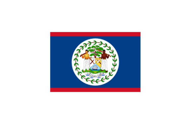
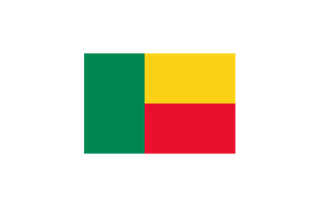
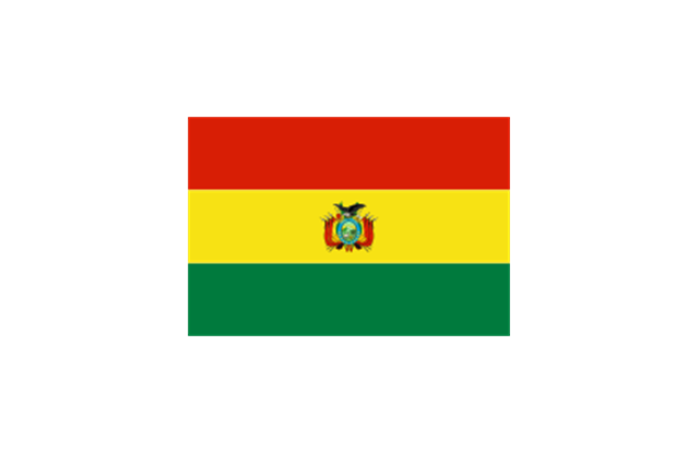
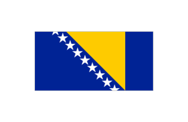
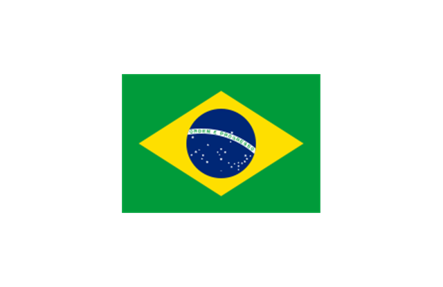
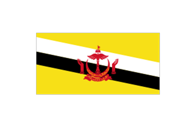
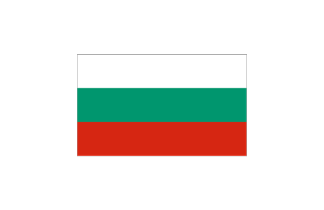
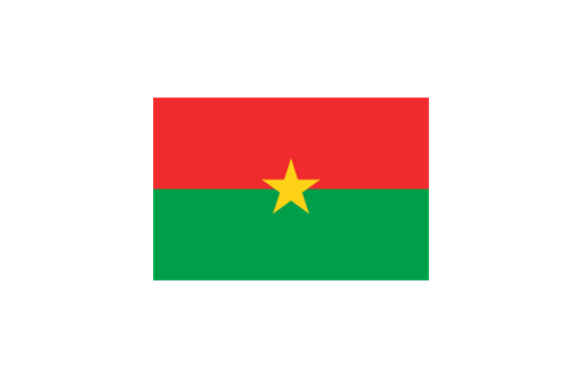
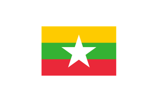
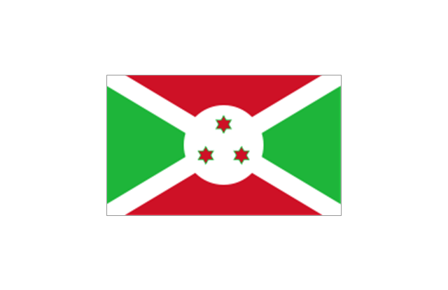
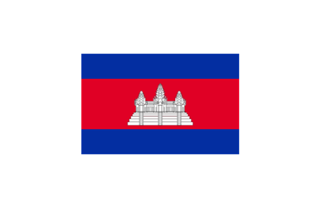
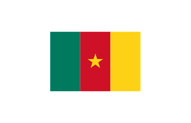
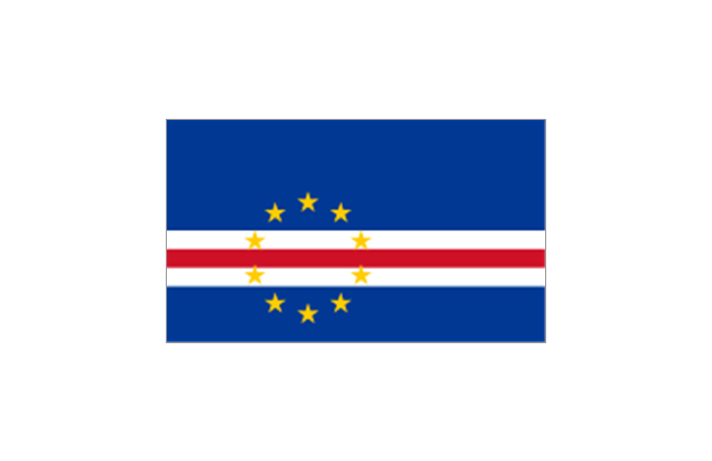
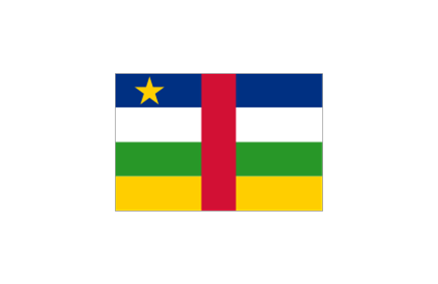
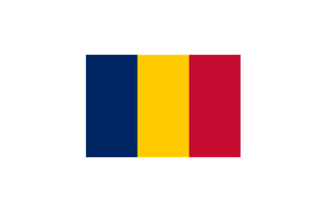
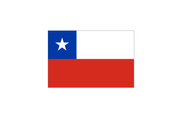
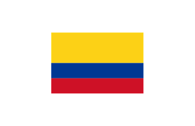
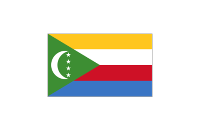
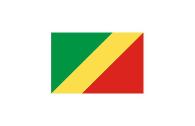
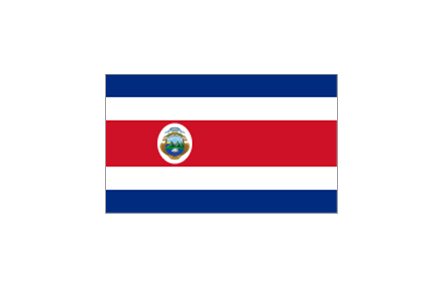
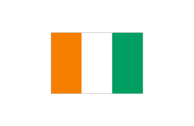
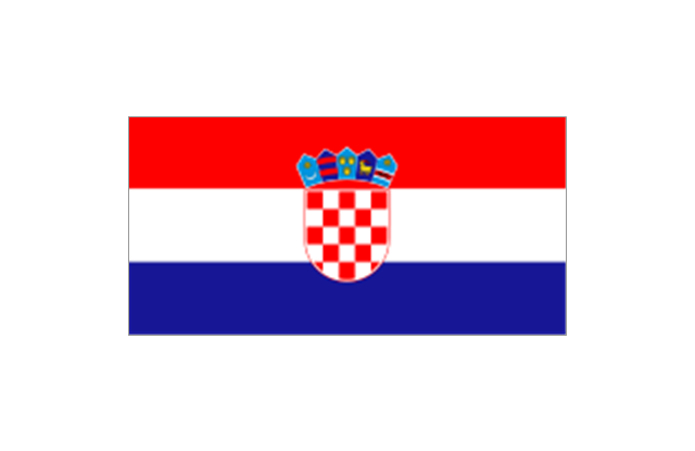
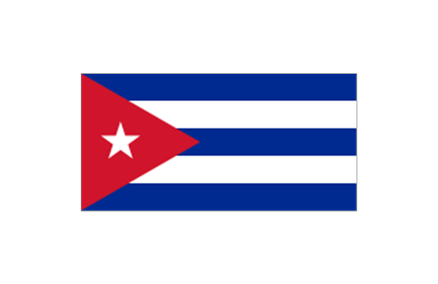
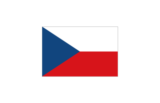
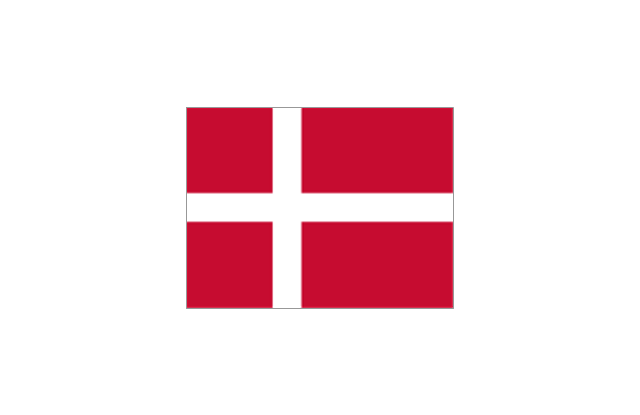
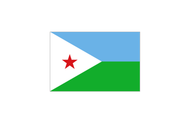
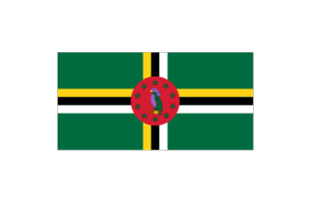
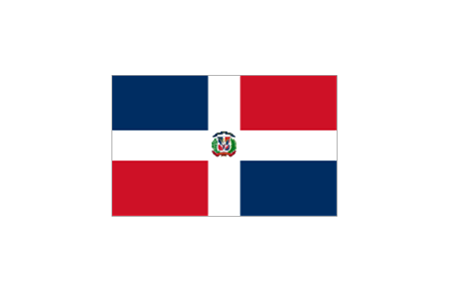
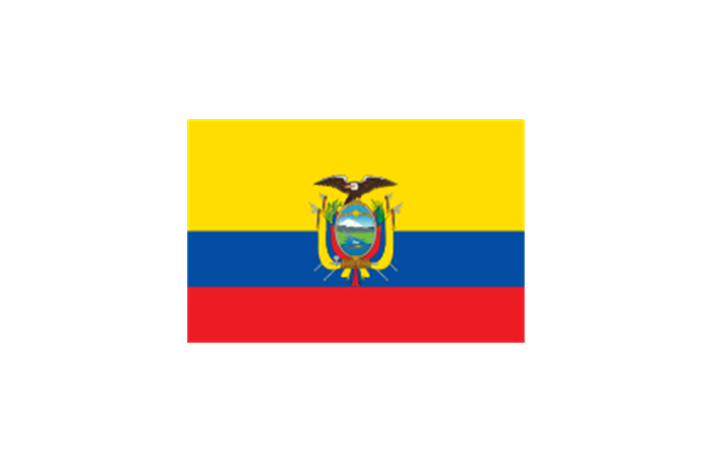
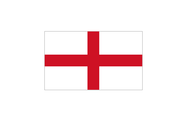
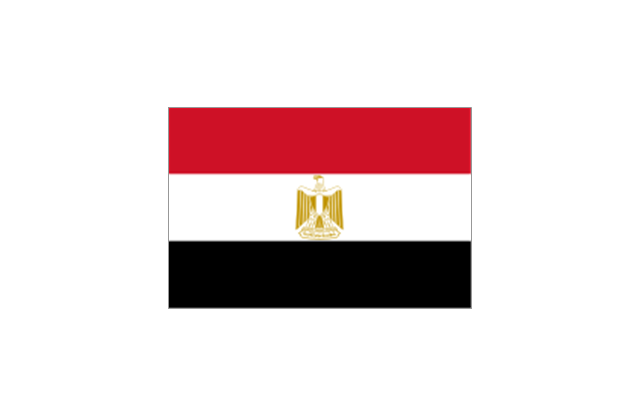
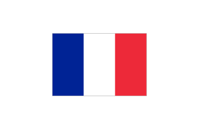
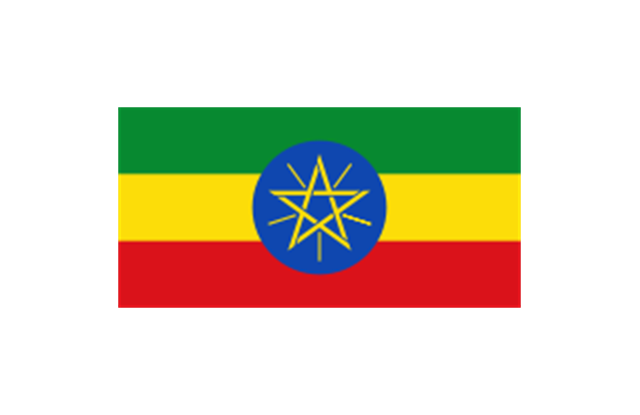
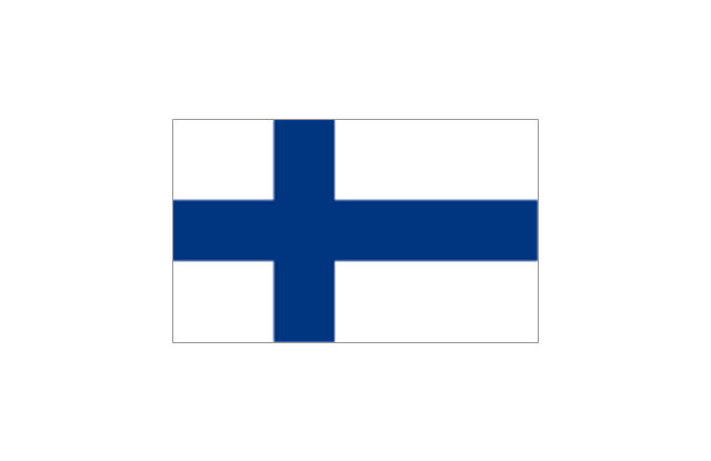
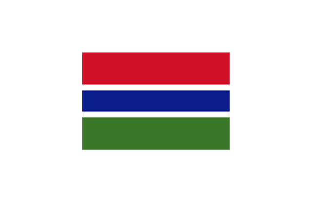
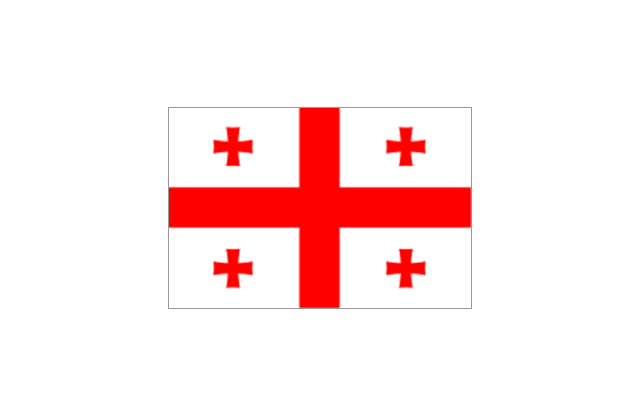
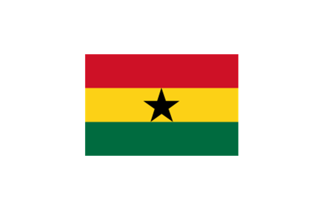
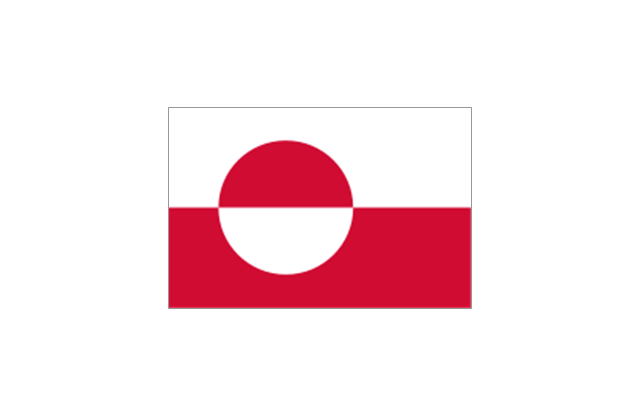
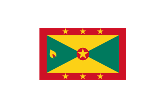
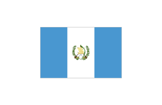
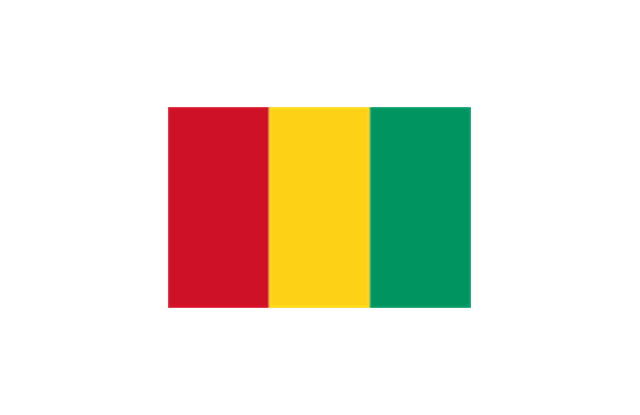
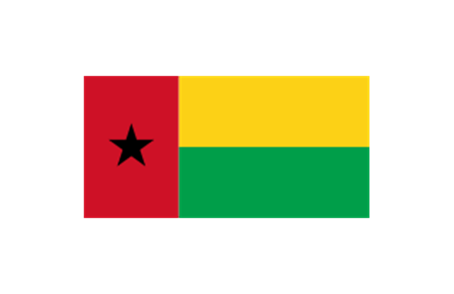
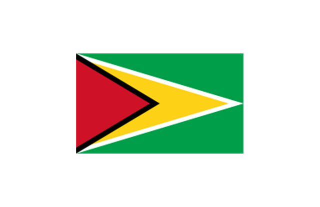
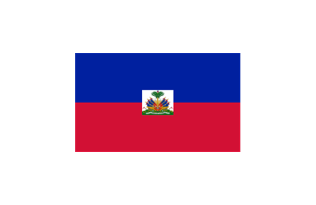
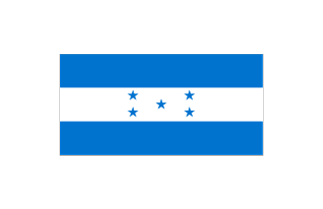
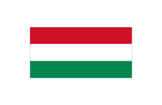
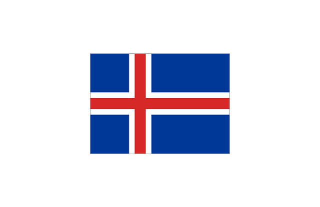
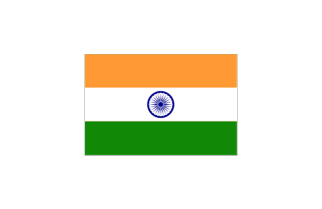
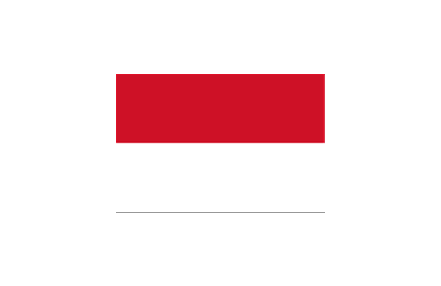
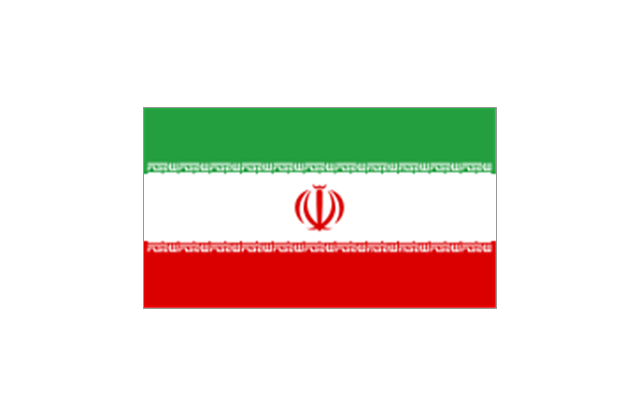
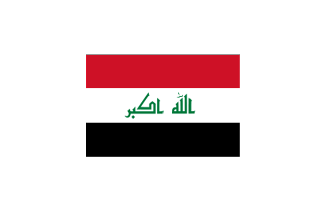
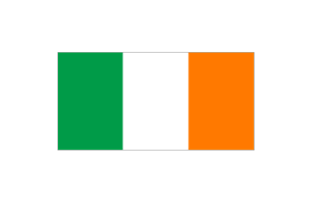
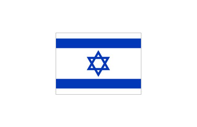
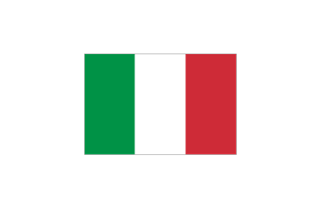
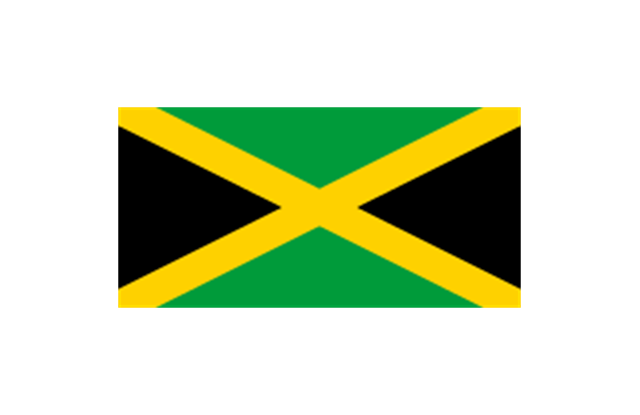
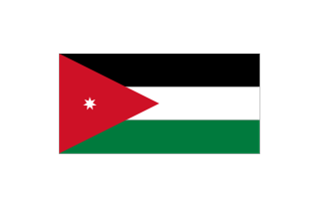
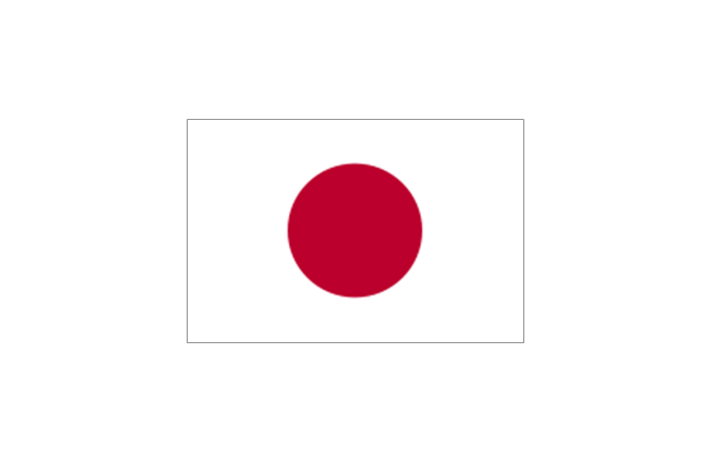
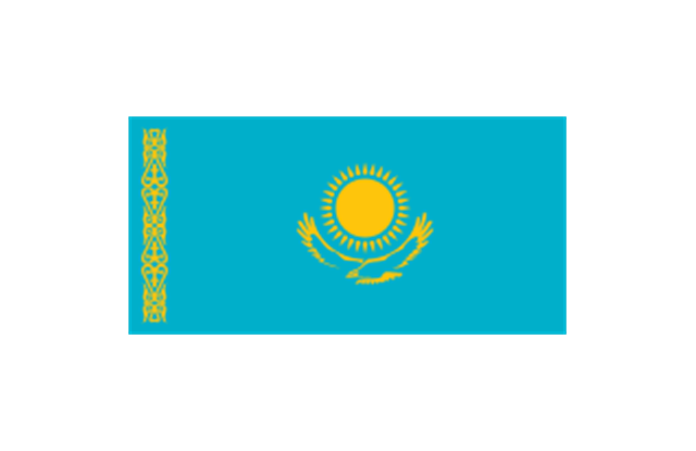
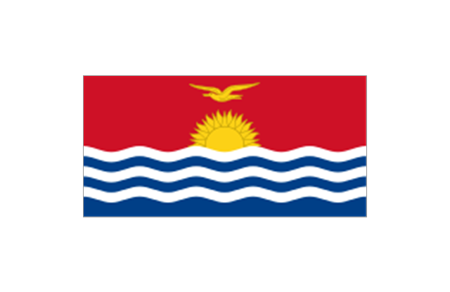
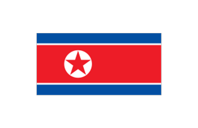
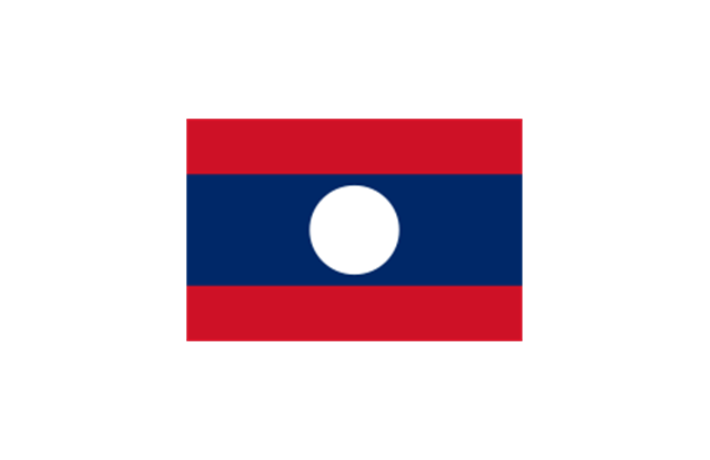
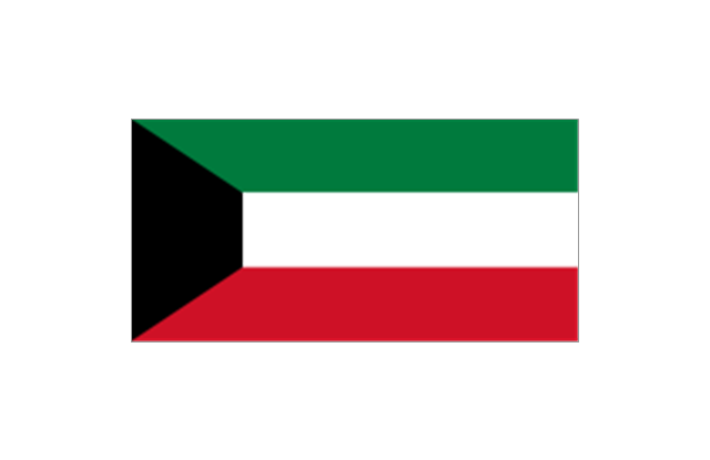
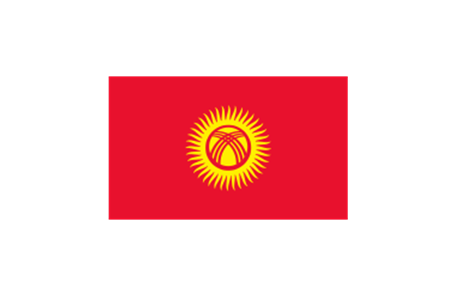
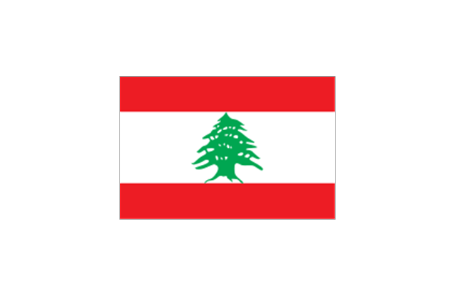
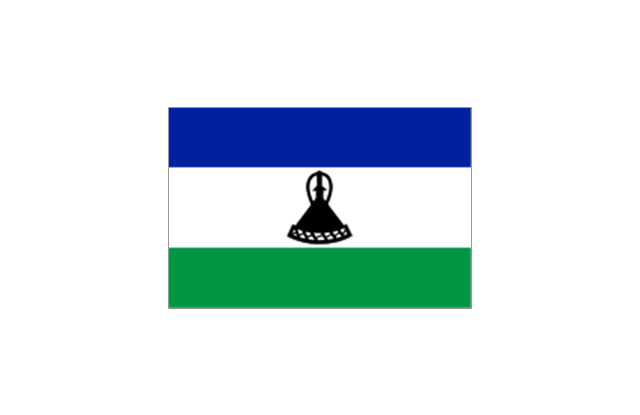
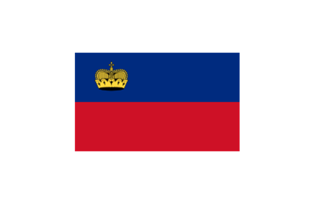
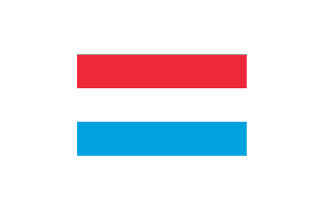
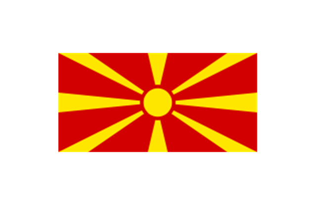
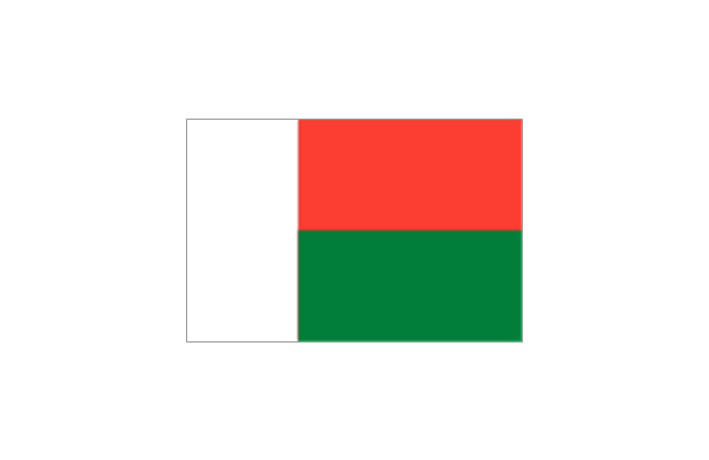
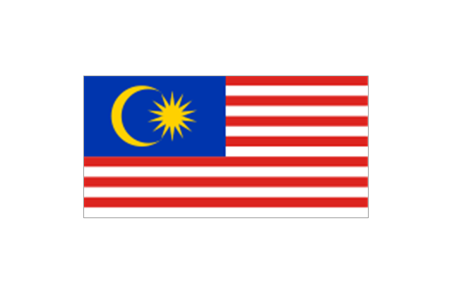
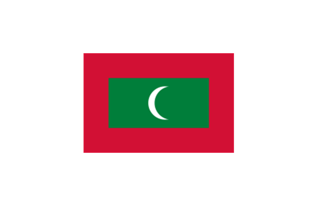
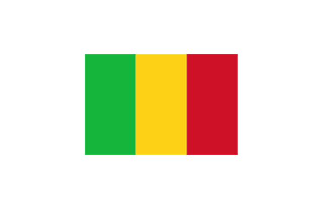
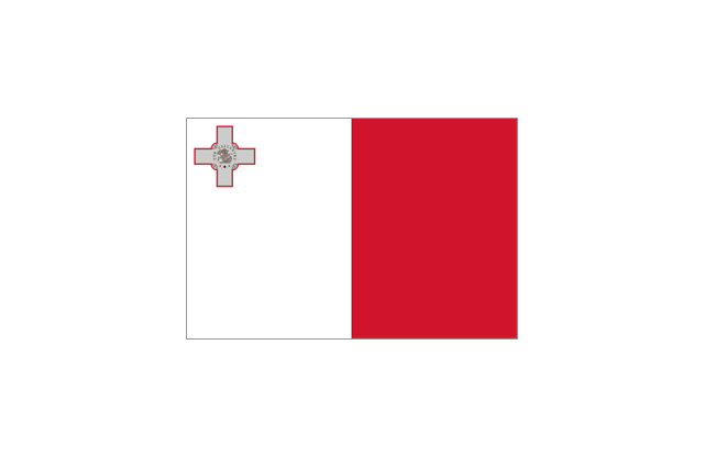
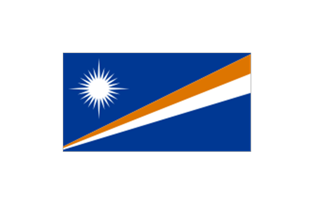
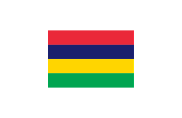
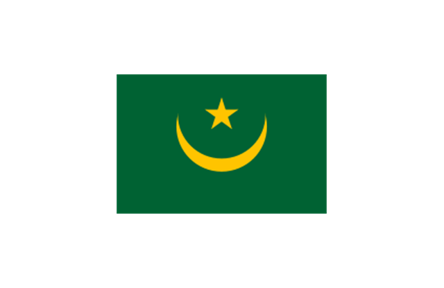
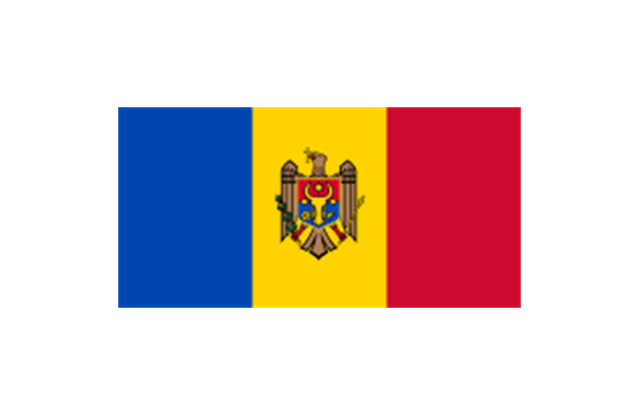
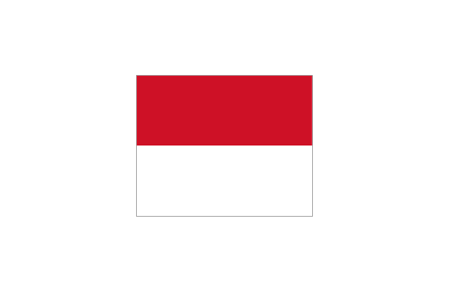
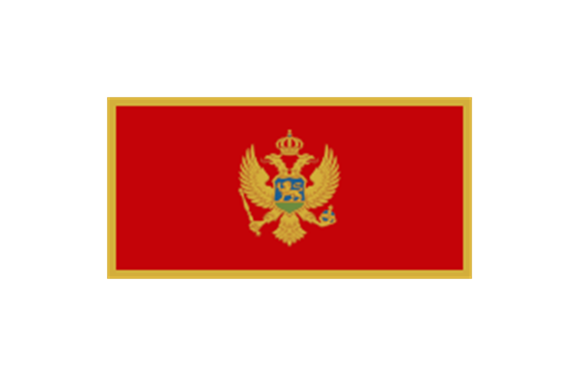
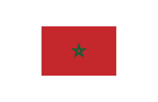
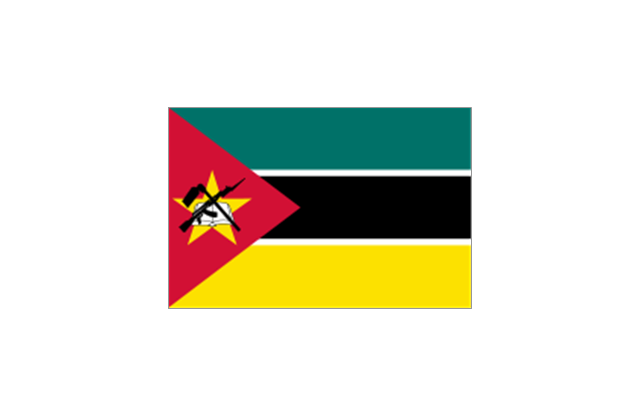
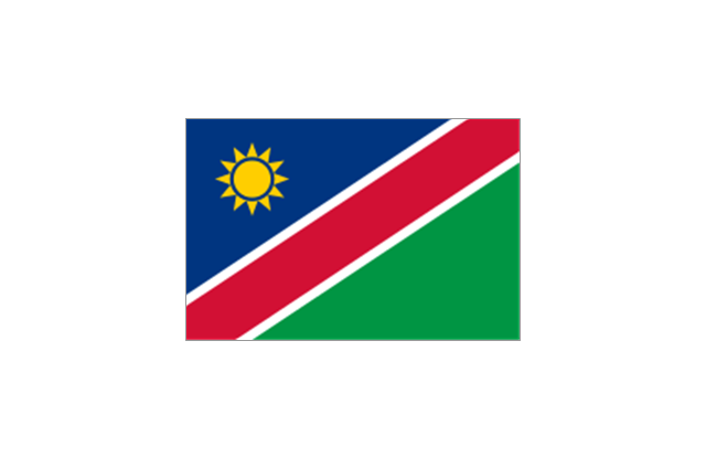
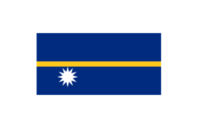
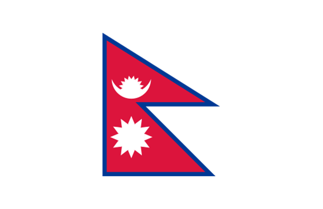
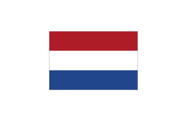
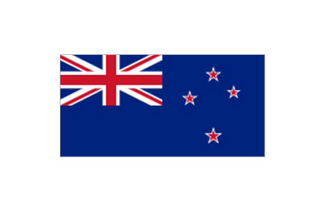
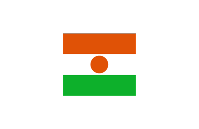
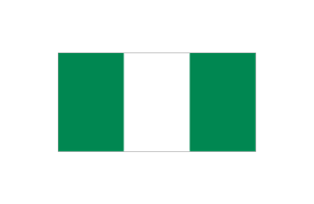
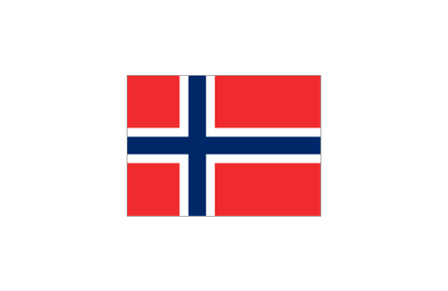
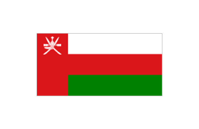
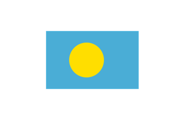
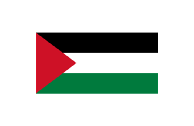
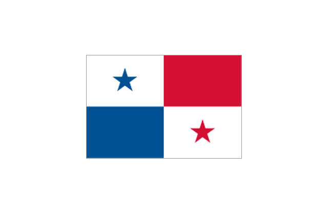
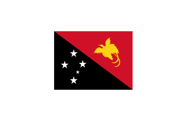
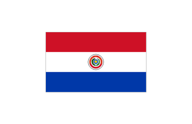
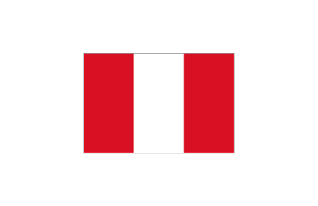
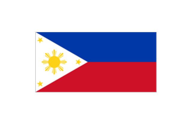
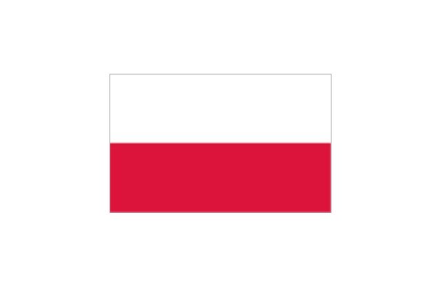
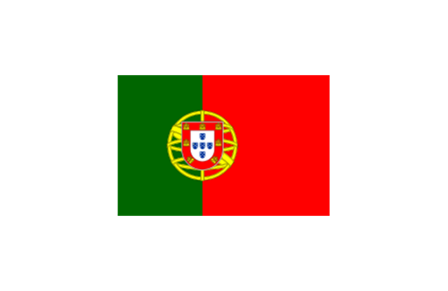
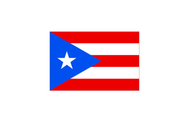
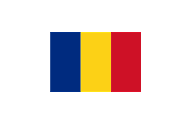
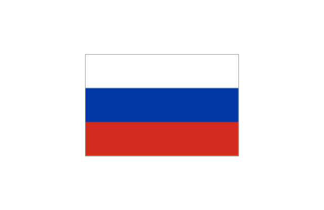
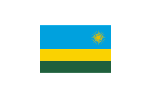
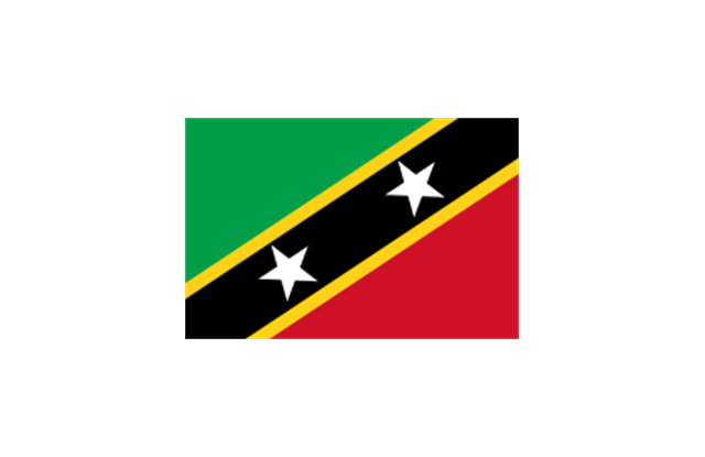
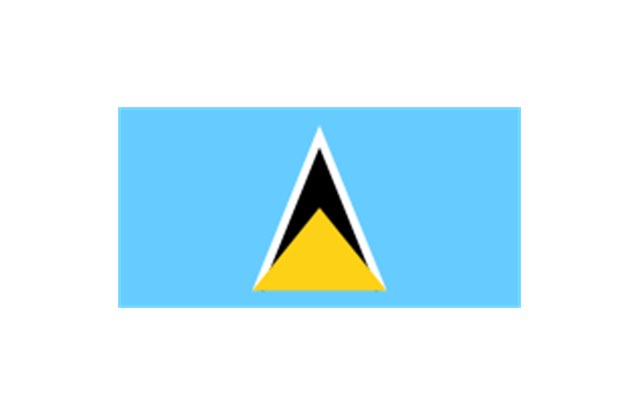
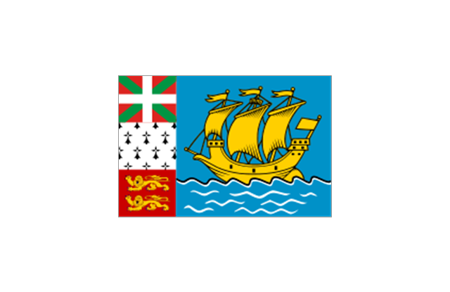
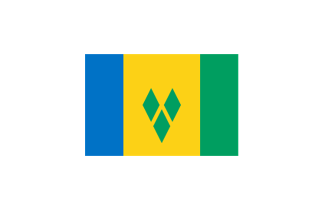
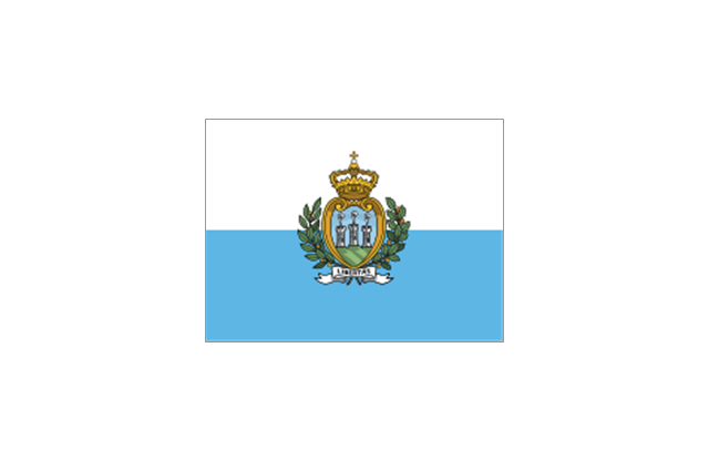
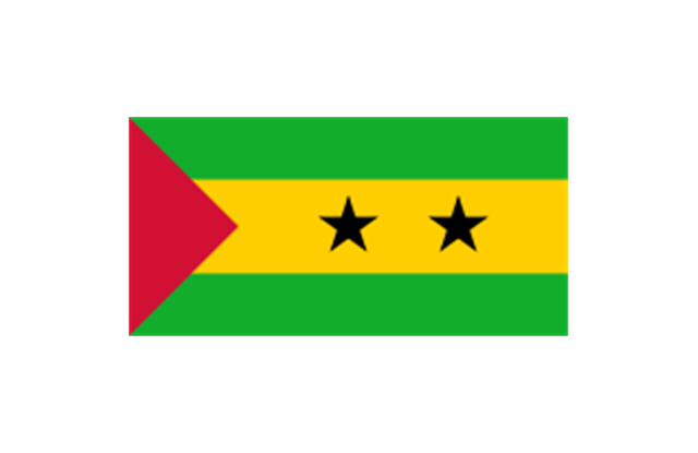
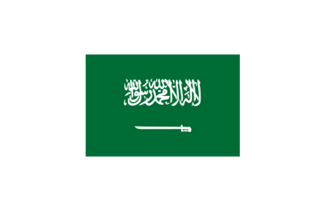
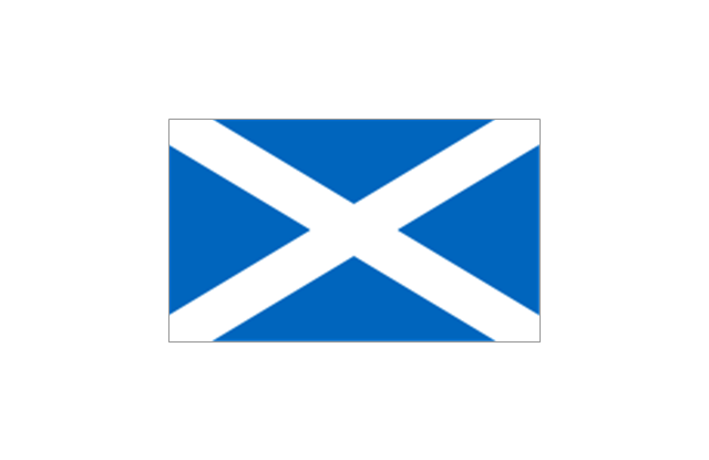
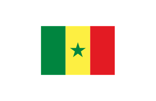
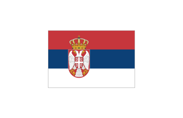
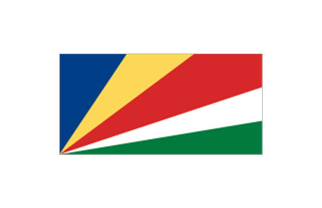
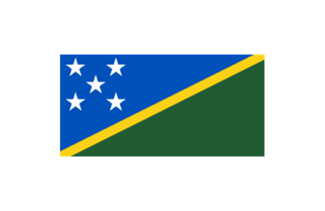
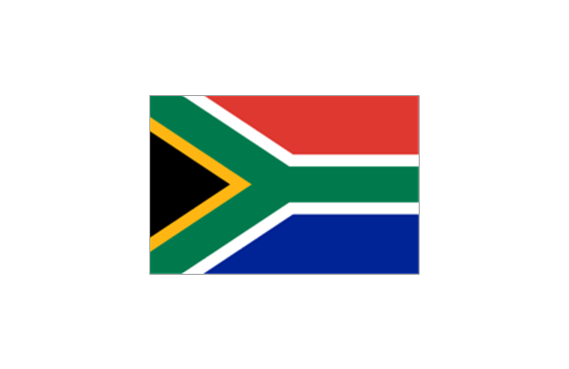
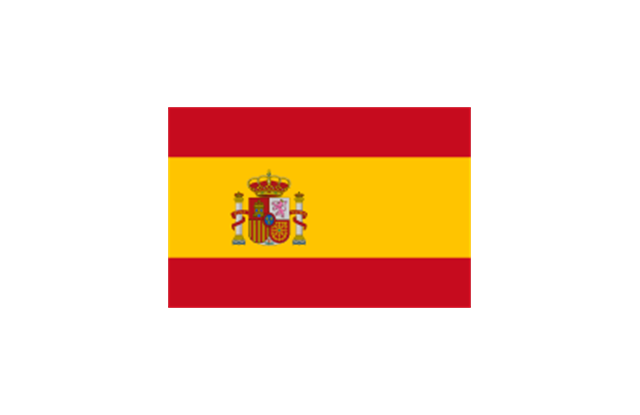
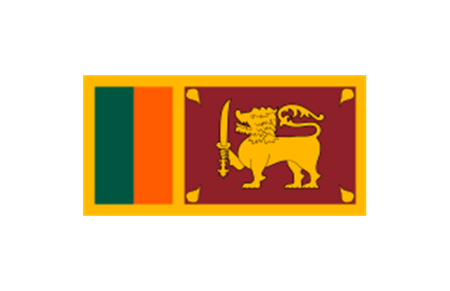
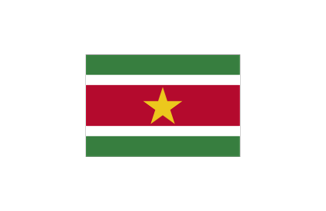
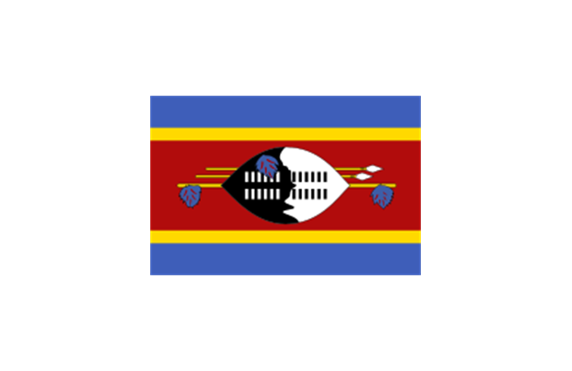
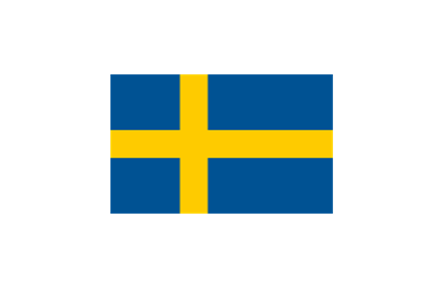
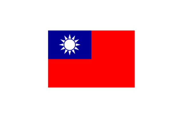
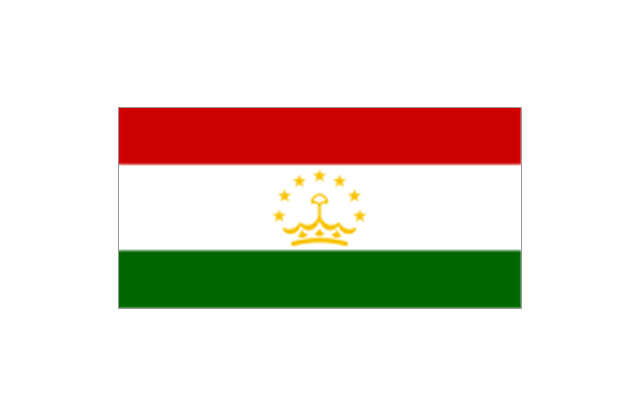
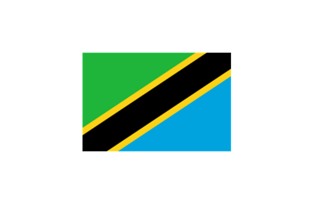
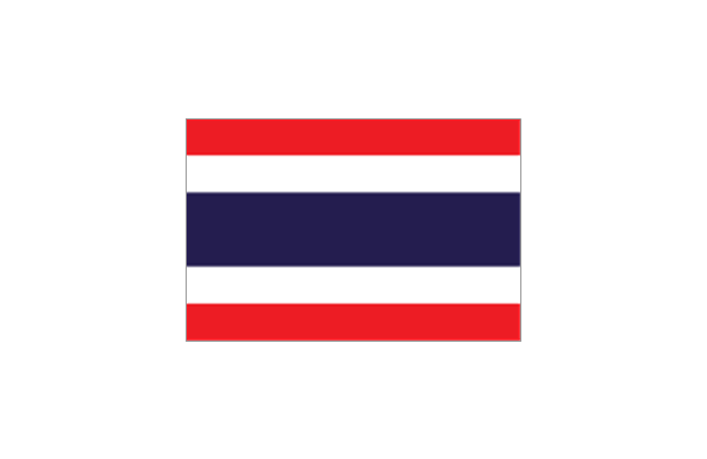
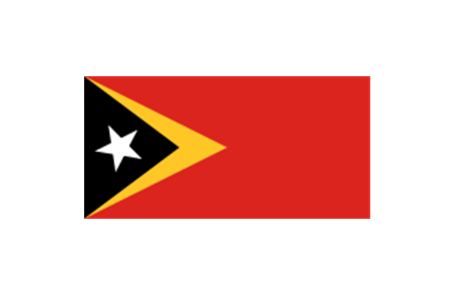
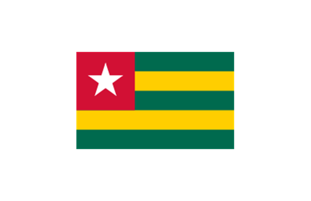
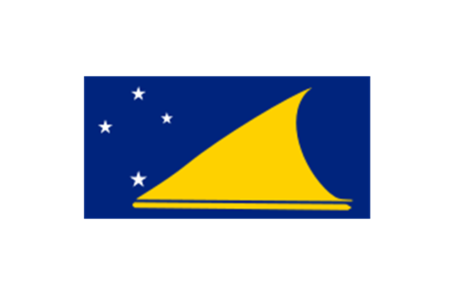
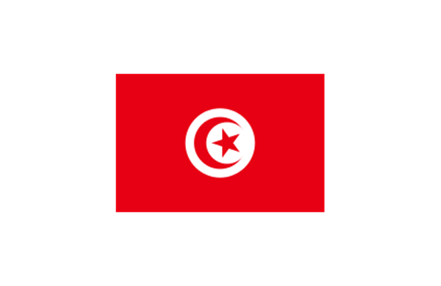
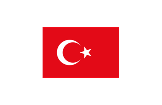
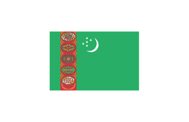
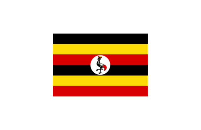
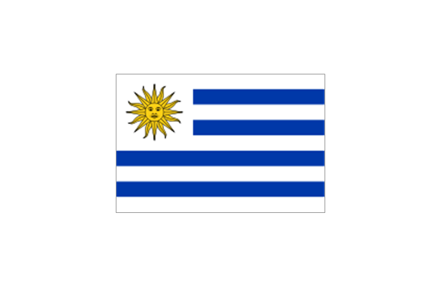
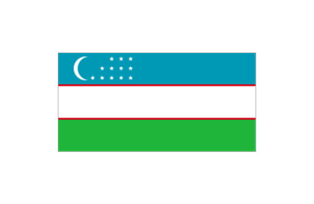
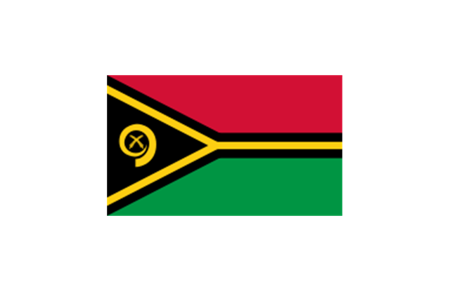
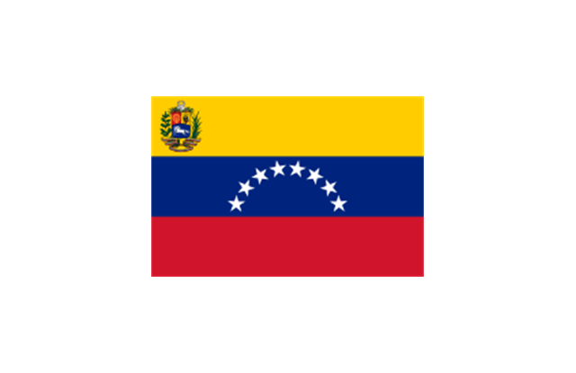
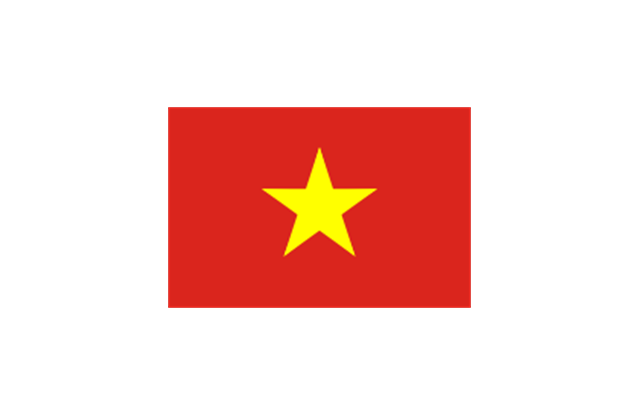
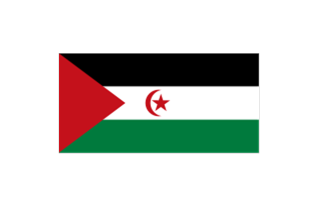
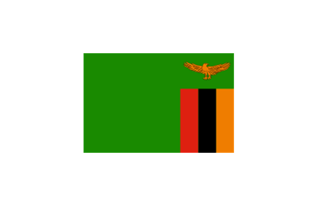
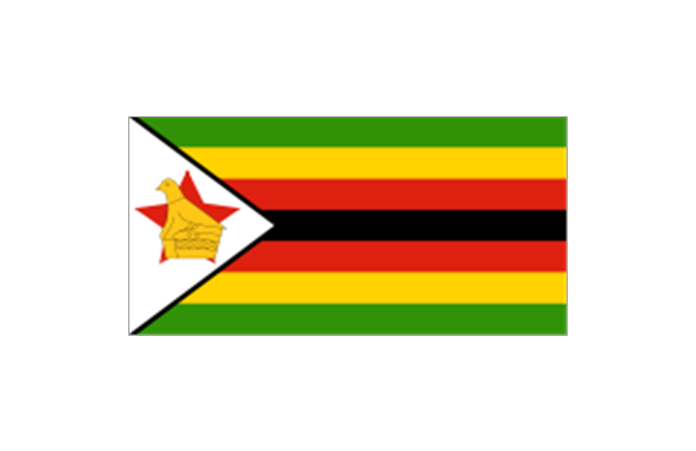
Georgia is a state located in the southeastern United States. The vector stencils library Georgia contains contours for ConceptDraw PRO diagramming and vector drawing software. This library is contained in the Continent Maps solution from Maps area of ConceptDraw Solution Park.The stencils library "Flags" contains 204 clipart images of state flags.
"There are two separate meanings for the term state flag in vexillology - the flag of the government of a sovereign state, and the flag of an individual subnational state, such as a U.S. state, or a Russian oblast. ...
A state flag is a variant of a national flag (or occasionally a completely different design) specifically designated and restricted by law or custom (theoretically or actually) to use by a country's government or its agencies. For this reason they are sometimes referred to as government flags. In many countries the state flag and the civil flag (as flown by the general public) are identical, but in other countries, notably those in Latin America, central Europe, and Scandinavia, the state flag is a more complex version of the national flag, often featuring the national coat of arms or some other emblem as part of the design. Scandinavian countries also use swallowtailed state flags, to further differentiate them from civil flags.
In addition, some countries have state ensigns, separate flags for use by non-military government ships such as guard vessels. For example, government ships in the United Kingdom fly the blue ensign." [State flag. Wikipedia]
The clip art example "Flags - Stencils library" was created using the ConceptDraw PRO diagramming and vector drawing software extended with the Continent Maps solution from the Maps area of ConceptDraw Solution Park.
www.conceptdraw.com/ solution-park/ maps-continent
Geo Map - Asia - Qatar
Qatar, officially the State of Qatar, is a sovereign Arab emirate, located in Western Asia, occupying the small Qatar Peninsula on the northeasterly coast of the much larger Arabian Peninsula. The vector stencils library Qatar contains contours for ConceptDraw PRO diagramming and vector drawing software. This library is contained in the Continent Maps solution from Maps area of ConceptDraw Solution Park.Geo Map - USA - Maryland
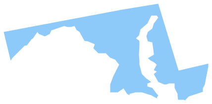
Maryland is a U.S. state located in the Mid-Atlantic region of the United States, bordering Virginia, West Virginia, and Washington, D.C. to its south and west; Pennsylvania to its north; and Delaware to its east. The vector stencils library Maryland contains contours for ConceptDraw PRO diagramming and vector drawing software. This library is contained in the Continent Maps solution from Maps area of ConceptDraw Solution Park.Geo Map - Asia - Armenia
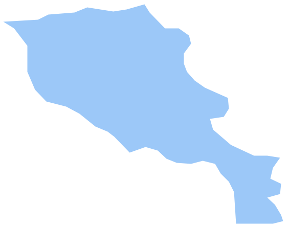
Armenia, officially the Republic of Armenia, is a mountainous country in the South Caucasus region of Eurasia. The vector stencils library Armenia contains contours for ConceptDraw PRO diagramming and vector drawing software. This library is contained in the Continent Maps solution from Maps area of ConceptDraw Solution Park.Geo Map - Asia - Tajikistan
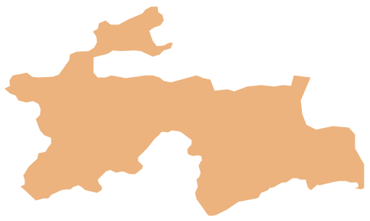
Tajikistan, officially the Republic of Tajikistan, is a mountainous landlocked country in Central Asia. The vector stencils library Tajikistan contains contours for ConceptDraw PRO diagramming and vector drawing software. This library is contained in the Continent Maps solution from Maps area of ConceptDraw Solution Park.Geo Map - South America - Colombia
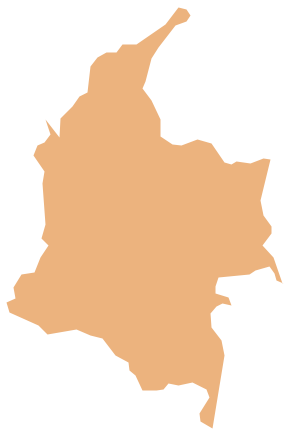
Colombia, officially the Republic of Colombia, is a unitary, constitutional republic comprising thirty-two departments. The vector stencils library Colombia contains contours for ConceptDraw PRO diagramming and vector drawing software. This library is contained in the Continent Maps solution from Maps area of ConceptDraw Solution Park.Geo Map - USA - Mississippi
Mississippi is a U.S. state located in the Southern United States. The vector stencils library Mississippi contains contours for ConceptDraw PRO diagramming and vector drawing software. This library is contained in the Continent Maps solution from Maps area of ConceptDraw Solution Park.Geo Map - USA - Oklahoma
Oklahom is a state located in the South Central United States. The vector stencils library Oklahoma contains contours for ConceptDraw PRO diagramming and vector drawing software. This library is contained in the Continent Maps solution from Maps area of ConceptDraw Solution Park.Geo Map - Asia - Uzbekistan
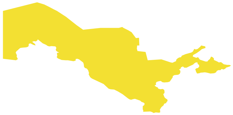
Uzbekistan , officially the Republic of Uzbekistan is a landlocked country in Central Asia. The vector stencils library Uzbekistan contains contours for ConceptDraw PRO diagramming and vector drawing software. This library is contained in the Continent Maps solution from Maps area of ConceptDraw Solution Park.Geo Map - USA - North Carolina
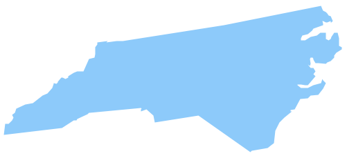
North Carolina is a state in Southeastern United States. The vector stencils library North Carolina contains contours for ConceptDraw PRO diagramming and vector drawing software. This library is contained in the Continent Maps solution from Maps area of ConceptDraw Solution Park.Geo Map - USA - Tennesse
Tennessee is a U.S. state located in the Southeastern United States. The vector stencils library Tennesse contains contours for ConceptDraw PRO diagramming and vector drawing software. This library is contained in the Continent Maps solution from Maps area of ConceptDraw Solution Park.Geo Map - USA - Alabama
Alabama is a state located in the southeastern region of the United States. The vector stencils library Alabama contains contours for ConceptDraw PRO diagramming and vector drawing software. This library is contained in the Continent Maps solution from Maps area of ConceptDraw Solution Park.- Design elements - Aircraft | Mechanical Drawing Symbols | Fishbone ...
- Basic Flowchart Symbols and Meaning | Flow Map | USA Map ...
- Chemical elements - Vector stencils library | Radium Symbol
- Basic Flowchart Symbols and Meaning | Value Stream Mapping ...
- Design elements - Aircraft | Fishbone Diagram | Mechanical Drawing ...
- Network Layout Floor Plans | Ethernet cable layout | Home ...
- Sn Symbols
- Building Drawing Software for Designing Plumbing | Mechanical ...
- SDL Flowchart Symbols | Geo Map - Africa | Multi Layer Venn ...
- Tungsten Chemical Symbol
- Civil Drawings Symbols
- How To Create CCTV Network Diagram
- SDL Flowchart Symbols | Multi Layer Venn Diagram. Venn Diagram ...
- Ice Hockey Rink Dimensions | Georgia DOT performance ...
- Basic Flowchart Symbols and Meaning | Process Flowchart ...
- Vessel Symbol
- Project tasks dashboard | Design elements - Meter indicators ...
- Example Drawing Of A Computer With Modem And Router
- Cisco IBM. Cisco icons, shapes, stencils and symbols | Aircraft ...
- Alarm Security Engineering Symbols
