Beautiful Nature Scene: Drawing
The Nature Solution addition to ConceptDraw Solution Park for ConceptDraw PRO includes new libraries that provide a wide range nature objects and it can be used to augment documentation and graphics. Draw beautiful nature scenes using ConceptDraw PRO software with Nature solution.How to Draw a Natural Landscape
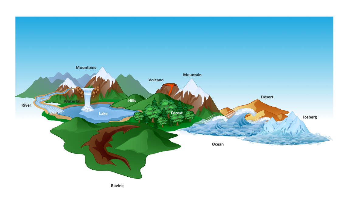
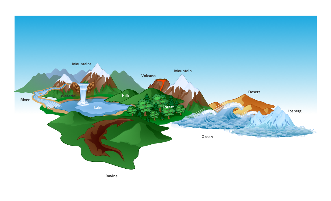
Nature solution expands ConceptDraw PRO software with samples, templates and libraries of vector clip art for drawing of Nature illustrations. Use Geography library of vector stencils to draw natural landscapes.The vector clipart library Geography contains 14 images of geographical features: ocean, forest, river, lake, waterfall, mountains, ravine, volcano, desert, hills, iceberg, trees.
Use the design elements library Geography to draw illustrations with landform images using the ConceptDraw PRO diagramming and vector drawing software.
"A landform in the earth sciences comprises a geomorphological unit, and is largely defined by its surface form and location in the landscape. As part of the terrain a landform is an element of topography. Landform elements also include land such as hills, mountains, plateaus,canyons,valleys, seascape and oceanic waterbody interface features such as bays, peninsulas, seas and so forth, including sub-aqueous terrain features such as mid-ocean ridges, volcanoes,and the great ocean basins." [Landform. Wikipedia]
This landscape illustration example is included in the Nature solution from the Illustration area of ConceptDraw Solution Park.
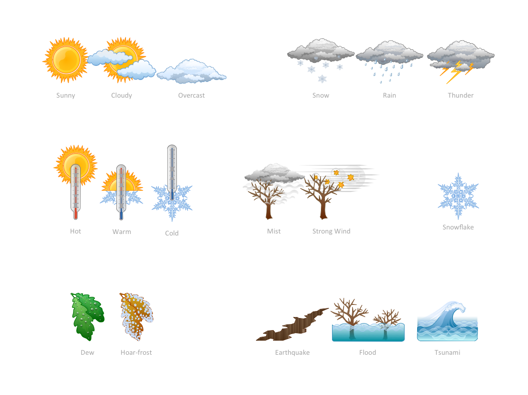
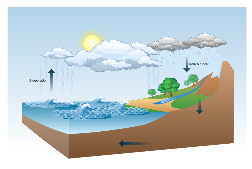
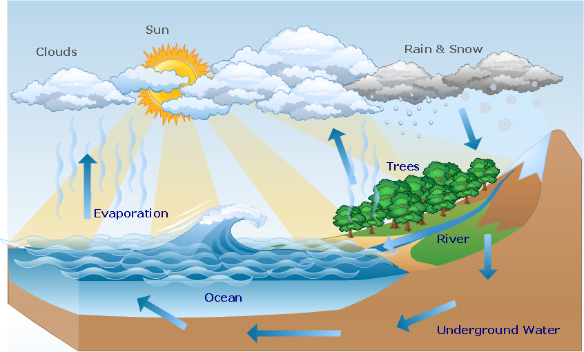
How can you illustrate the weather condition
Use it to make professional looking documents, presentations, and websites illustrated with color scalable vector clipart for geography, weather, and animals.Drawing Illustration
The Nature Solution addition to ConceptDraw Solution Park for ConceptDraw PRO includes new libraries that provide a wide range nature objects and it can be used in many areas.HelpDesk
How to Draw a Map of North America Using ConceptDraw PRO
Geographic maps, cardiograms, and thematic maps are often used for geographical visualization of business information. Any country can inspire a wealth of geopolitical statistical data. A common way of assimilating this data is to create maps that convey a particular theme or subject matter in relation to a specific geographical area. Known as thematic maps, they cover themes such as population density, average rainfall, or political allegiance, differentiating the data by using graphical elements and annotation. Thematic maps contrast general reference maps, which tend to display information on a variety of subjects — vegetation, topology, roads and highways, for example. A thematic map will always focus on one particular subject matter. ConceptDraw PRO can be helpful as a tool for creating maps of countries and regions of the world. It allows you to draw continental maps quickly and easily using the special templates and vector stencils libraries.Beauty in nature Illustrations and Clipart
Nature solution expands our software possibilities to create beautiful illustrations and cliparts with the new library which contains 17 vector objects.Spatial infographics Design Elements: Continental Map
ConceptDraw PRO is a software for making infographics illustrations. You can work with various components to build really impressive and easy-to-understand infographics design.- Design Elements Geography To Draw Illustrations
- Map Software | How to Draw a Natural Landscape | Geo Map - Africa ...
- Design elements - Geography | Geography - Vector stencils library ...
- Geography - Vector stencils library | How to Draw a Natural ...
- Design elements - Geography | How to Draw a Natural Landscape ...
- Drawings Of Geography
- How to Draw a Natural Landscape | Design elements - Geography ...
- Software For Drawing Geography Diagrams
- Nature | How to Draw a Natural Landscape | Geography - Vector ...
- Design elements - Geography | Geo Map - Europe - Bulgaria | Geo ...
- Design elements - Geography | Drawing Of Mountain Hills Plateau ...
- How To Draw A Easy Geography Picture
- Geography - Vector stencils library | How to Draw a Natural ...
- Design elements - Geography | Geo Map - Europe - Russia | Site ...
- Geography - Vector stencils library | Design elements - Geography ...
- Powerful Drawing Feature for Creating Professional Diagrams ...
- Map Software | Geo Map - Africa | Drawing Illustration | Geography ...
- Best Drawing About Geography
- How to Draw a Map of North America Using ConceptDraw PRO ...
